The 10 Most Amazing Peaks around The Municipal District of Comeragh
Best mountain peaks around The Municipal District of Comeragh are found within the Comeragh Mountains, a rugged range in County Waterford, Ireland. This area is characterized by glaciated landscapes, featuring impressive corries, serene lakes, and dramatic waterfalls. The region offers a variety of notable peaks and natural attractions for exploration. These mountain peaks provide opportunities for hikers of various levels.
Best mountain peaks around The Municipal District of Comeragh
- The most popular mountain peaks is Ridgeline high above Coumshingaun Lough…
Last updated: October 3, 2026
Seefin Summit
Highlight • Summit
Tip by

Ridgeline high above Coumshingaun Lough
Highlight • Viewpoint
Tip by

Sign up now to discover places like this
Get recommendations on the best single tracks, peaks, & plenty of other exciting outdoor places.
Knockaunapeebra Summit Cairns
Highlight • Summit
Tip by
View of the Irish Countryside from the Knockmealdown Mountains
Highlight • Viewpoint
Translated by Google •
Tip by

Knocksheegowna Summit
Highlight • Summit
Tip by
Knockanaffrin Summit
Highlight • Summit
Tip by
Scrouthea Hill
Highlight • Summit
Tip by
Knockinadotha
Highlight • Summit
Tip by

Coumaraglin Mountain Summit
Highlight • Summit
Tip by
Croughaun Hill Summit
Highlight • Summit
Tip by
Start today with a free account
Your next adventure awaits.
Popular around The Municipal District of Comeragh
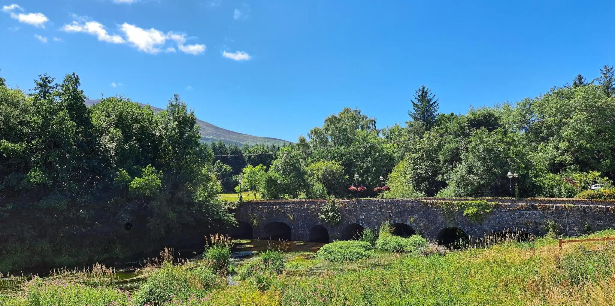
East Munster Way – Hiking the beautiful Suir, woodland and historic foothills
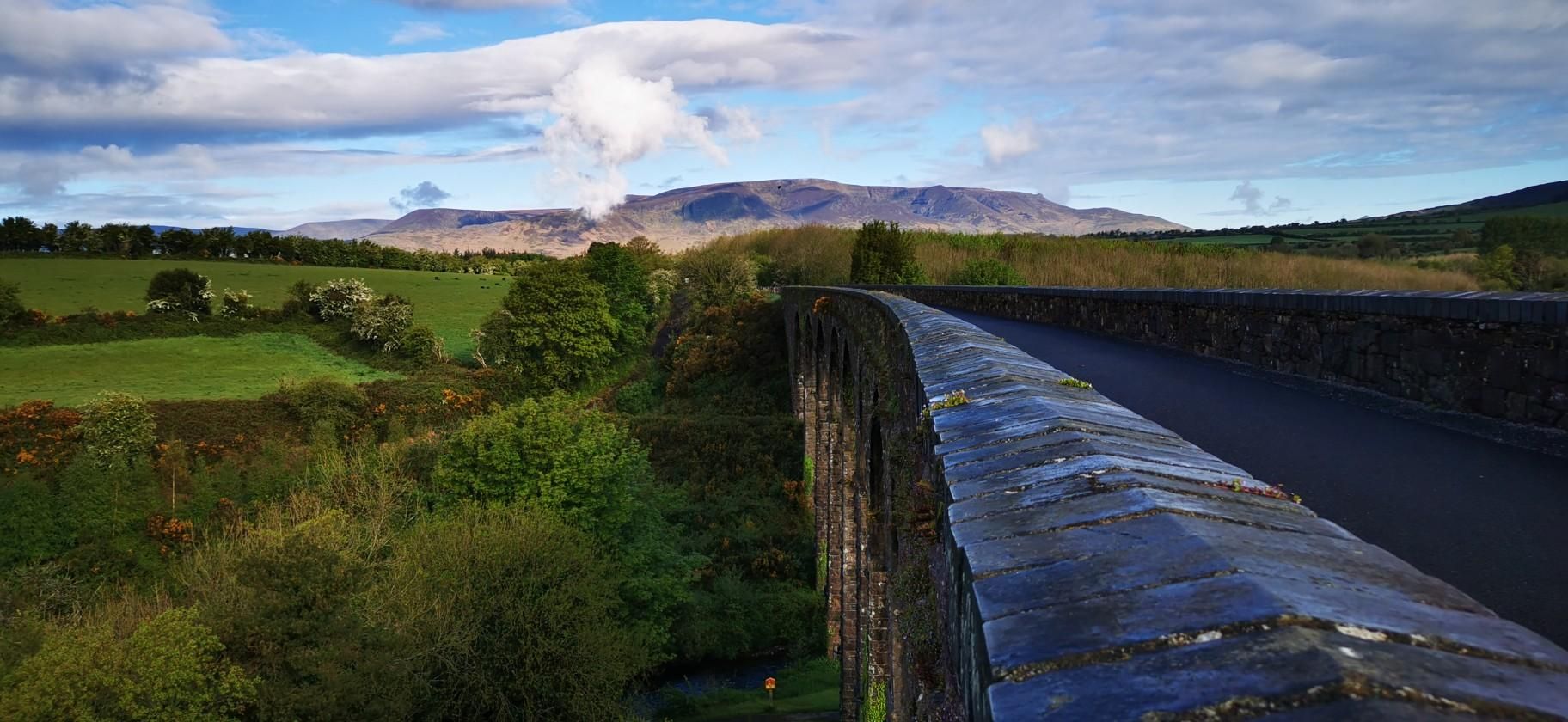
Waterford Greenway – Ireland’s Coast-to-Coast Rail Trail

Follow the water - Along Ireland's rivers and lakes

Ireland's blue rivers and lakes – walks along the water

Between waves and peaks — to the best views in Ireland
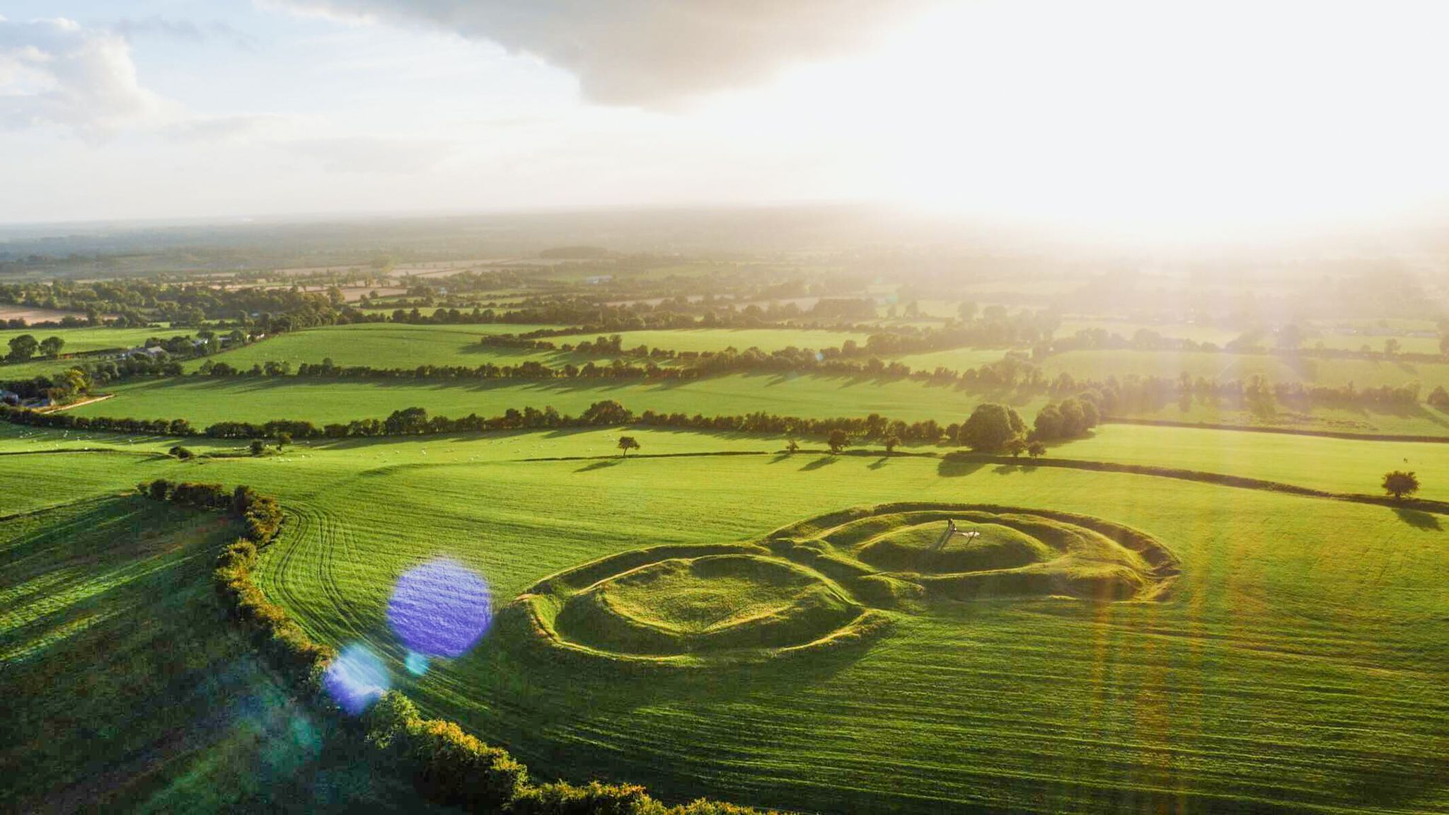
The magical east of Ireland – ancient places, scenic lakes and rocky mountains
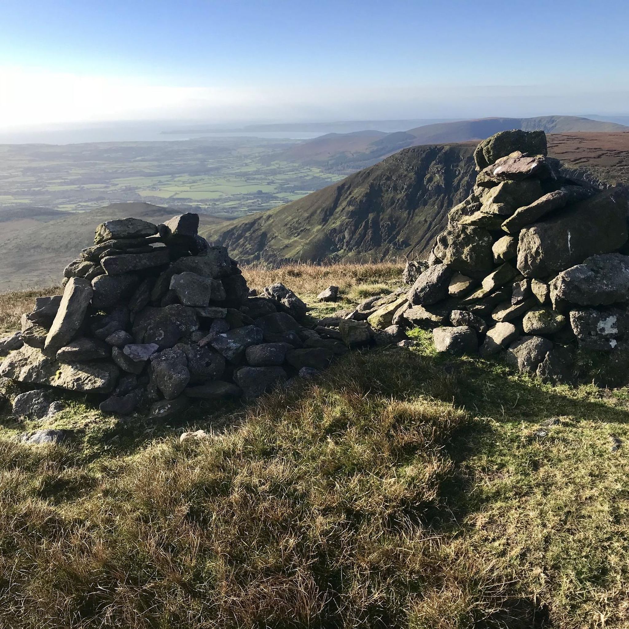
Hiking around The Municipal District of Comeragh
Cycling around The Municipal District of Comeragh
Road Cycling Routes around The Municipal District of Comeragh
Running Trails around The Municipal District of Comeragh
Other adventures around The Municipal District of Comeragh


Tips from the Community

Prominent hill in the Comeragh Mountains, south of Clonmel with wide and beautiful views over the area. The hill can be easily reached from the Holy Year Cross close to the Scrouthea Hill. The top of the hill is marked by a small obelisk and a stone pyramid.
3
0

Croughaun Hill is a hill in north County Waterford, Ireland. Croughaun Hill has an elevation of 364 meters and is a designated Marilyn and it has a trig pointed summit.
4
0

Scrouthea Hill (Cnoc a Chomortais) is part of the beautiful Comeragh Mountain Range that stretches across the southeast of Ireland. The hill stands at 1,109 feet (338 m) high and provides some excellent views toward nearby Clonmel and the surrounding countryside.
3
0
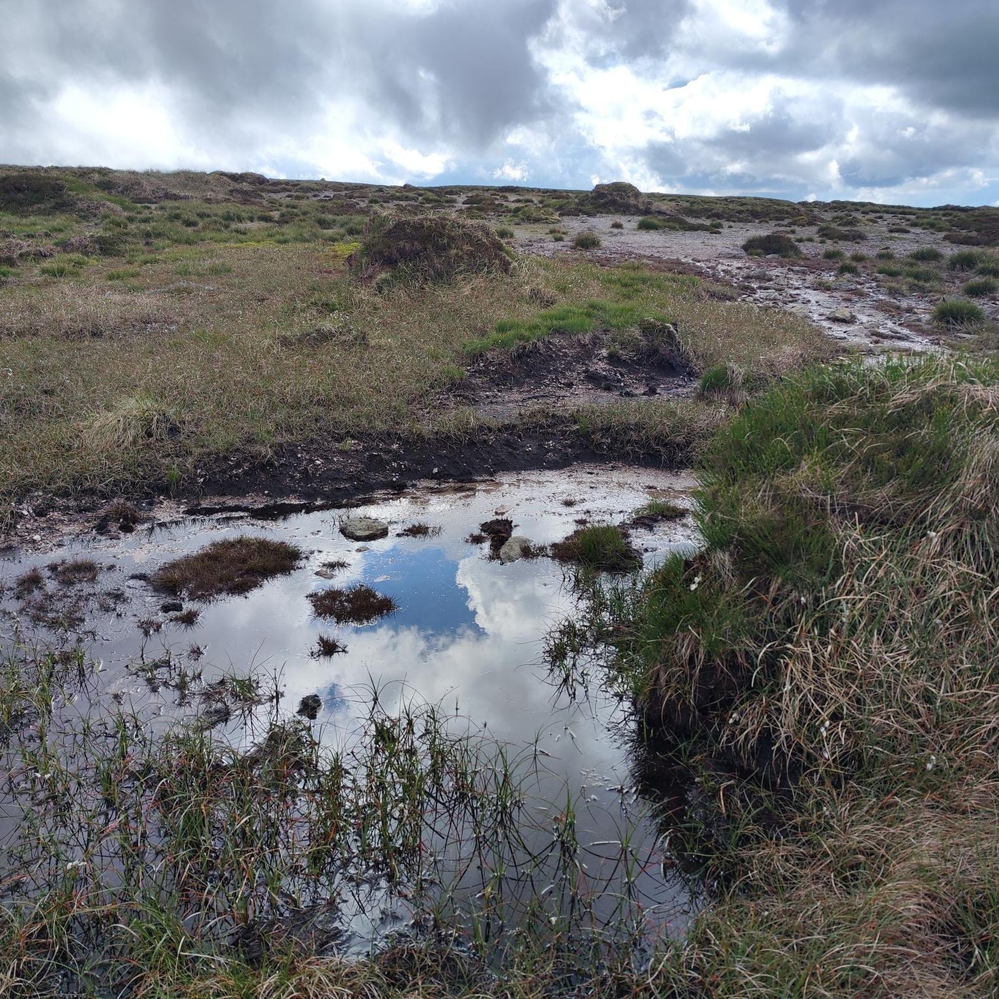
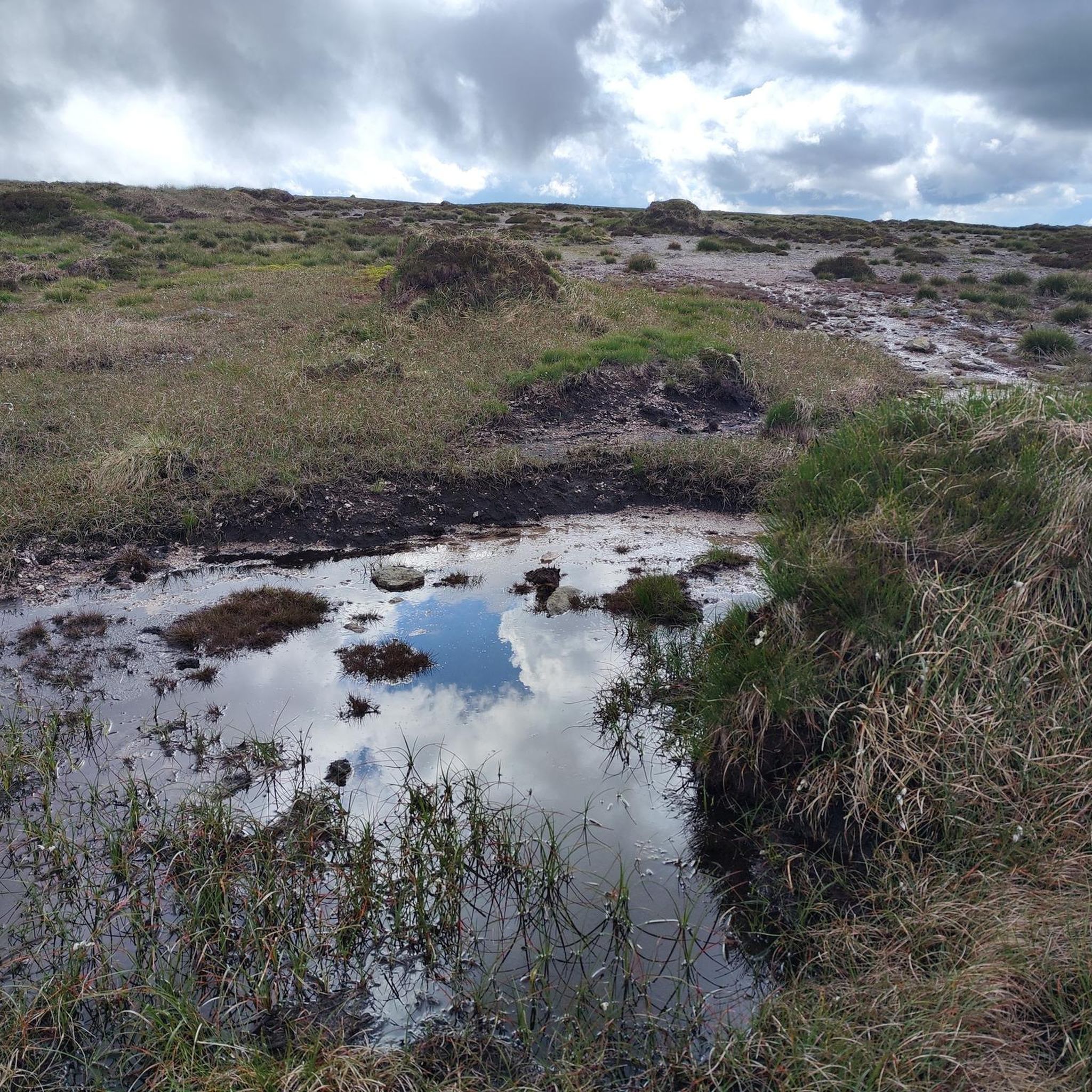
As you walk along the ridgeline you can enjoy soaring countyside views north over County Waterford and back down toward Coumshinguan Lough.
2
0

At this point, the hiking trail goes up to a point from which you can have a breathtaking and, above all, wide view of the Irish landscape. Below you, the region stretches like an impressive green carpet.
2
0
Knocksheegowna at 677m high is a trig pointed summit in the Comeragh Mountains. It is an Irish Hewitt.
2
0
Knockanaffrin at 2,477-foot (754 m) is a mountain in County Waterford, Ireland. It is part of the Comeragh Mountains. It is an Irish Hewitt with an unmarked summit. A beautiful location.
4
0
Coumaraglin Mountain [Sliabh Chom Airglinn] is a mountain summit in the region in the county of Waterford, Ireland. Coumaraglin Mountain [Sliabh Chom Airglinn] is 617 metres high with a prominence of 103 metres. The summit is featureless but there is a nearby tower. It is an Irish Hewitt.
5
0
Frequently Asked Questions
What are some of the most notable mountain peaks and viewpoints in the Comeragh Mountains?
The Comeragh Mountains offer several impressive peaks and viewpoints. Among them, Ridgeline high above Coumshingaun Lough provides soaring countryside views over County Waterford and down to the dramatic glacial scenery of Coumshingaun Lough. Other significant summits include Seefin Summit, standing at 726 meters, and Knockaunapeebra Summit Cairns, which reaches 724.4 meters.
Are there any challenging hiking trails in the Comeragh Mountains?
Yes, the Comeragh Mountains are known for challenging trails. The Coumshingaun Loop Walk is a highly rewarding but demanding trail that encircles the stunning Coumshingaun Lough, offering dramatic glacial scenery and requiring good fitness and some scrambling. For other challenging options, explore the 'Hiking around The Municipal District of Comeragh' guide for routes like the Coumlara Loop via Knockanaffrin South Top, which offers a moderate to difficult experience. You can find more details on challenging routes in the Hiking around The Municipal District of Comeragh guide.
What natural features can I expect to see in the Comeragh Mountains?
The Comeragh Mountains are rich in natural features shaped by glaciation. You'll encounter impressive corries, serene lakes like Coumshingaun Lough, and dramatic waterfalls such as Mahon Falls, which plunges 80 meters over sandstone cliffs. The landscape also features rugged cliffs, extensive bogland on higher summits like Fauscoum, and panoramic viewpoints that stretch across County Waterford and beyond.
Are there any family-friendly walks or accessible natural attractions in the Comeragh Mountains?
Mahon Falls offers an accessible and scenic walk, making it ideal for families and casual walkers. A short walk from the car park leads to beautiful views of the waterfall and the surrounding valley, with views extending towards the sea and Dungarvan. The area is also known for the nearby 'Magic Road,' a local curiosity. For other gentle options, check out the Easy hikes around The Municipal District of Comeragh guide, which includes routes like the Coumshingaun Lake Walk (a shorter, easier approach to the lake) and Gurteen Wood loops.
What is the highest point in the Comeragh Mountains?
The highest point in the Comeragh Mountains is Fauscoum, also known as Fascoum or Kilclooney Mountain, reaching an elevation of 792 meters (2,598 feet). The summit offers breathtaking panoramic views that can extend as far as the Wicklow Mountains, the Waterford coast, and other mountain ranges like the Galtees and Knockmealdowns.
Where can I find panoramic views of the Waterford coast?
For extensive views of the Waterford coast, consider hiking up Comeragh Mountain (668m) from the Mahon Falls area. The ascent, though a hard slog, provides rewarding vistas out to Dungarvan Bay and the entire Waterford coastline. Additionally, the summit of Fauscoum offers far-reaching views that include the Waterford city suspension bridge and the coast.
What outdoor activities, besides hiking, can I do near the Comeragh Mountains?
Beyond hiking, the Comeragh Mountains and surrounding areas offer opportunities for various outdoor activities. The Coumshingaun Lough area is popular for rock climbing. For running enthusiasts, there are several trails, including the Kilmacthomas running loop via Waterford Greenway. You can explore more options in the Running Trails around The Municipal District of Comeragh guide.
What is special about Coumshingaun Lough?
Coumshingaun Lough is renowned as one of Ireland's finest examples of a glacial corrie lake. It is encircled by dramatic, steep cliffs rising vertically up to 400 meters, forming a natural amphitheater. The lake's waters are unusually clear, and the area provides a sense of solitude and a timeless atmosphere, with opportunities to spot wildlife like ravens and peregrine falcons.
What is the best time to visit the Comeragh Mountains for hiking?
The Comeragh Mountains can be enjoyed year-round, but the best time for hiking is generally during dry spells or a freeze, especially for higher summits like Fauscoum where boggy terrain can be challenging. Spring and summer offer milder weather and longer daylight hours, while autumn provides beautiful colors. Winter hiking is possible but requires appropriate gear and experience due to potentially harsh conditions.
Are there any unique geological features in the Comeragh Mountains?
Yes, the Comeragh Mountains are characterized by their glaciated landscapes, featuring impressive corries (ice-scooped basins), U-shaped valleys, and glacial lakes. Coumshingaun Lough is a prime example of a perfectly formed corrie lake. The dramatic cliffs and the way the River Mahon plunges over sandstone cliffs at Mahon Falls are also notable geological formations.
Which peaks in the Comeragh Mountains are considered 'Hewitts'?
Several peaks in the Comeragh Mountains are classified as 'Hewitts,' which are hills in England, Wales, and Ireland over 2,000 feet (609.6 m) with a relative height of at least 30 meters. These include Seefin Summit, Knocksheegowna Summit, and Knockanaffrin Summit.
Most popular routes around The Municipal District of Comeragh
Most popular attractions around The Municipal District of Comeragh

Get inspired with the komoot mobile app


