The best hikes from bus stations around The Municipal District of Comeragh
4.5
(286)
2,441
hikers
19
hikes
Bus station hiking trails around The Municipal District of Comeragh traverse a landscape shaped by glacial activity, featuring rugged peaks, corrie lakes, and waterfalls. The region is characterized by an Old Red Sandstone plateau, extensive moorland, and diverse habitats including blanket bog and upland grassland. These physical features provide varied terrain for outdoor activities, from gentle paths to more challenging mountain ascents.
Best bus station hiking trails around The Municipal District of Comeragh
- The most popular bus station hiking route…
Last updated: October 6, 2026
4.4
(5)
26
hikers
11.2km
04:24
610m
610m
Hike 7.0 miles (11.2 km) from Kilcash Castle to Slievenamon summit, gaining 2015 feet (614 metres) with panoramic views and ancient folklore
4.0
(1)
6
hikers
5.87km
01:40
130m
140m
Easy hike. Great for any fitness level. Easily-accessible paths. Suitable for all skill levels.

2
hikers
6.92km
02:02
210m
210m
Hike the moderate 4.3-mile Gurteen Wood Loop through scenic forestry tracks, enjoying views over hills and a family-friendly atmosphere.
25
hikers
5.53km
01:24
10m
10m
Easy hike. Great for any fitness level. Easily-accessible paths. Suitable for all skill levels.
4.9
(7)
17
hikers
2.64km
00:41
10m
10m
Easy hike. Great for any fitness level. Easily-accessible paths. Suitable for all skill levels.
Get access to more routes and recommendations from other explorers.
Already have an account?
Our route recommendations are based on thousands of hikes, rides, and runs completed by other people on komoot.
Start today with a free account
Your next adventure awaits.
Popular around The Municipal District of Comeragh
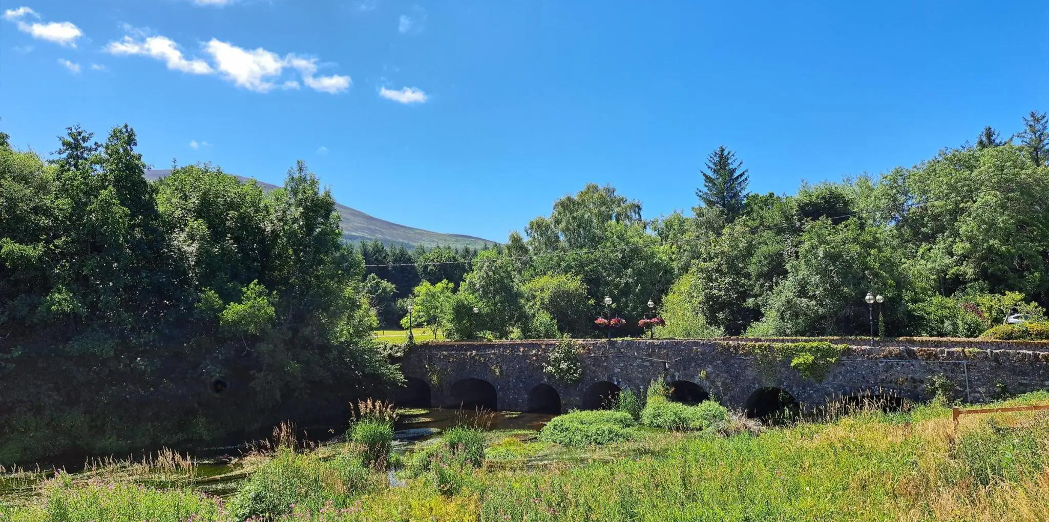
East Munster Way – Hiking the beautiful Suir, woodland and historic foothills

Follow the water - Along Ireland's rivers and lakes

Ireland's blue rivers and lakes – walks along the water

Between waves and peaks — to the best views in Ireland
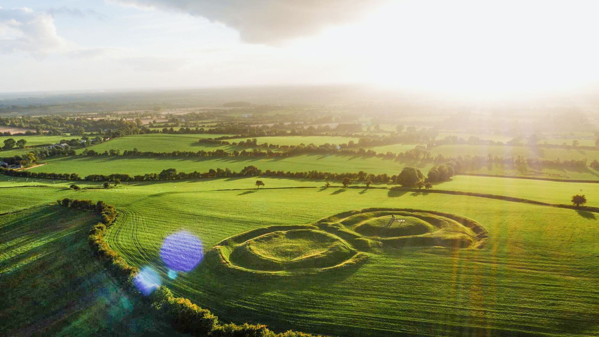
The magical east of Ireland – ancient places, scenic lakes and rocky mountains
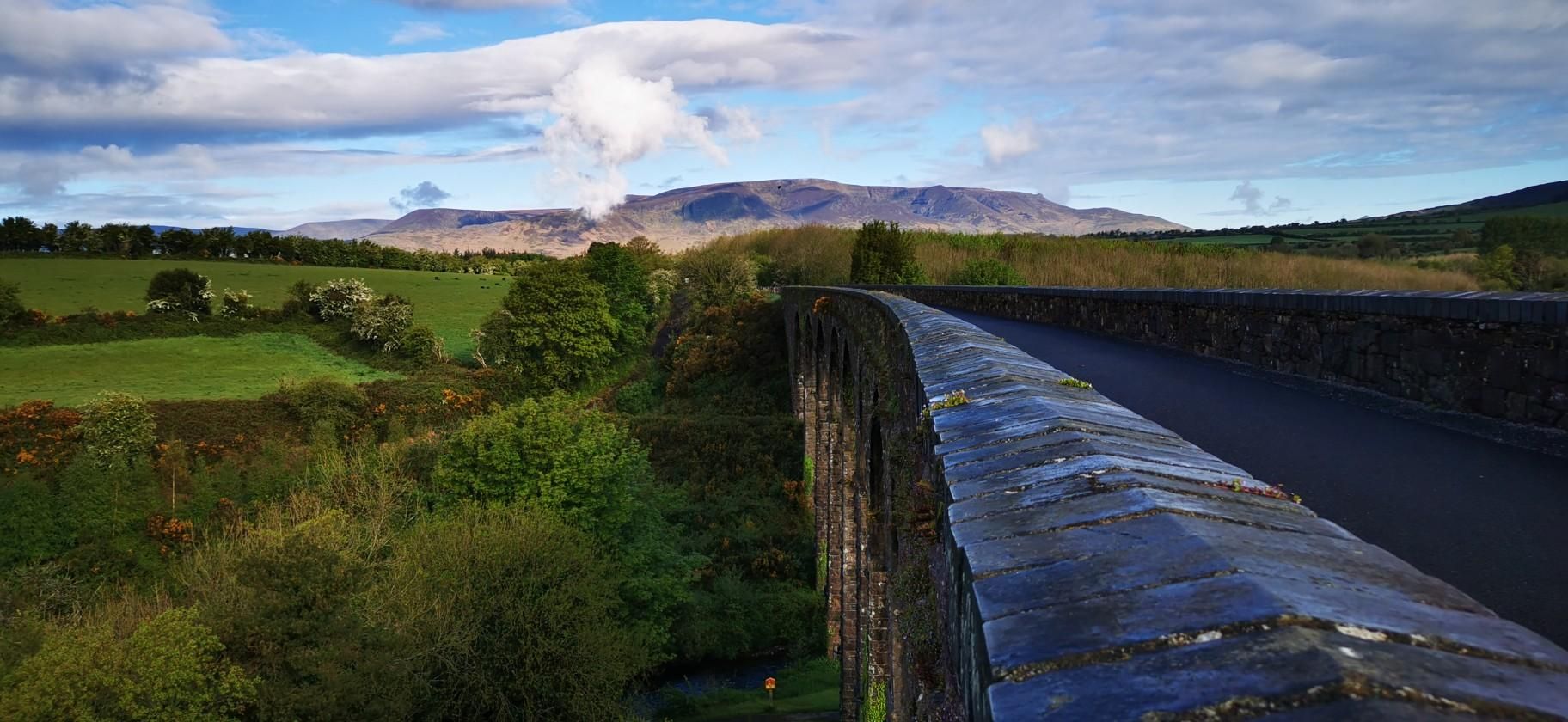
Waterford Greenway – Ireland’s Coast-to-Coast Rail Trail
Other adventures around The Municipal District of Comeragh


Tips from the Community

Gurteen Wood is a scenic forestry area located in County Waterford near Clonmel, featuring a well-established 6-kilometre (4 mi) nature loop trail that offers a moderate hiking experience through mixed woodland. The trail provides an accessible outdoor recreation option for walkers of varying abilities, with opportunities to explore the natural forest environment and surrounding countryside.
0
0
This beach near Stradbally gives you a perfect spot to relax a bit during your activity.
0
0
Stradbally is a charming small village in County Waterford, located on the scenic Copper Coast road and distinguished by its neat thatched and slated cottages. The village has deep medieval roots dating to 1215, when King John granted custody of Waterford to Thomas fitz Anthony, who established Stradbally as an important medieval town. Today, it retains its historic character while winning numerous awards in the National Tidy Towns competition, making it a picturesque destination in southeastern Ireland's coastal region.
0
0

Kilsheelan Bridge has spanned the Suir since 1820. Its classic, triple-arch humpback form makes it a fine sight from the Suir Blueway. It provides access from the village to the network of tracks in Gurteen Wood.
0
0

Very similar to the Gasworks Bridge in Clonmel, this form is notable for its use of large arches relative to its size, and the addition of a dry arch for pedestrian use in riverbank walks. Textural contrast is provided by the juxtaposition of cut stone and carved stone with rubble walls. Visible from a considerable distance over the surrounding landscape, the triple-arch humpback form has been adapted and expanded to create an elegant and dramatic feature. https://www.buildingsofireland.ie/buildings-search/building/22208404/kilsheelan-bridge-kilsheelan-kilsheelan-tipperary-south
1
0

Turn here to discover a beautiful little cove tucked away at the mouth of the River Tay in County Waterford. The cove features sandy beaches and beautiful rock formations and makes the perfect place to rest and relax before continuing on your cycle.
1
0
Bunmahon is a tiny coastal hamlet situated at the mouth of the River Mahon in County Waterford, on Ireland's south coast. The hamlet comprises a beautiful 2.5kms stretch of perfect sandy beach, an ideal place to rest and relax on your cycling adventure.
2
1

Kilcash Castle is remembered in a song, 'Cill Chais'. Sung in Irish, it grieves for the death of Margaret Butler, Viscountess Iveagh, whose family lived here until the 19th century. There is also a ruined church and a graveyard in the area.
0
0
Frequently Asked Questions
How many bus-accessible hiking trails are available in The Municipal District of Comeragh?
There are over 20 bus-accessible hiking trails in The Municipal District of Comeragh, ranging from easy strolls to more moderate excursions. This guide features 20 routes specifically designed for public transport users.
Are there easy hiking trails accessible by bus for beginners or families?
Yes, the region offers several easy trails perfect for beginners or families. For example, the Stradbally loop is an easy 5.8 km route, and the Cave Entrance – Bunmahon loop from Bunmahon is a shorter, easy 2.6 km option. Many of these routes are relatively flat and well-suited for a relaxed outing.
Can I find circular hiking routes that start and end at a bus stop?
Absolutely. Many of the bus-accessible trails are circular, allowing you to return to your starting point without needing additional transport. The Gurteen Wood Loop is a moderate 6.9 km circular route, and the Lagoon View loop from Tramore offers an easy 5.5 km circular walk with scenic views.
Are there any waterfalls or significant natural features along the bus-accessible trails?
Yes, The Municipal District of Comeragh is known for its stunning natural features. While not directly on every bus route, some trails offer access to or views of impressive sights. The famous Mahon Falls, an 80-meter waterfall, is a prominent attraction in the region, and there are family-friendly walks leading to it. You can also find glacial corrie lakes like Lough Mohra.
What kind of terrain can I expect on bus-accessible hikes in the Comeragh Mountains?
The terrain varies, reflecting the diverse landscapes of the Comeragh Mountains. You can expect a mix of forest paths, open moorland, and coastal trails. While some routes are gentle, others, like the moderate Kilcash castle to Slievenamon out and back, involve significant elevation changes, offering more challenging sections and expansive views.
Are the bus-accessible trails suitable for dogs?
Many trails in The Municipal District of Comeragh are dog-friendly, but it's always best to check local signage and regulations, especially in areas with livestock or protected wildlife. Keep your dog on a lead where required and ensure you clean up after them to preserve the natural environment for everyone.
What are the best times of year to hike in The Municipal District of Comeragh using public transport?
Spring and autumn offer pleasant temperatures and beautiful scenery, with vibrant flora in spring and rich colours in autumn. Summer is also popular, though trails can be busier. Winter hiking is possible for experienced individuals, but be prepared for colder, wetter conditions and shorter daylight hours, especially in higher elevations.
What do other hikers say about the bus-accessible trails in The Municipal District of Comeragh?
The bus-accessible trails in The Municipal District of Comeragh are highly rated by the komoot community, with an average score of 4.51 stars from 231 ratings. Reviewers often praise the accessibility, the stunning natural beauty, and the variety of routes available for different fitness levels.
Are there any viewpoints or scenic spots easily reachable from bus stops?
Yes, the region offers numerous scenic viewpoints. While specific bus stops might vary, many trails lead to elevated positions or coastal areas providing panoramic vistas. For instance, the Comeragh Mountains themselves offer dramatic views over glacial corrie lakes and the Atlantic, with highlights like the Ridgeline high above Coumshingaun Lough providing breathtaking perspectives.
Are there any less crowded bus-accessible trails for a quieter experience?
While popular spots can attract more visitors, many trails in the Comeragh District offer a quieter experience, especially outside peak season or on lesser-known routes. Exploring trails in areas like the Nire Valley or some of the woodland walks can provide a more tranquil hiking experience away from the main tourist hubs.
What kind of wildlife might I encounter on these hikes?
The diverse habitats of the Comeragh Mountains support a variety of wildlife. Hikers might spot the elusive Irish Hare, various bird species including birds of prey like Peregrine Falcons and ravens, and other small mammals. Keep an eye out, especially in the quieter moorland and forest areas.
Most popular routes around The Municipal District of Comeragh
Most popular attractions around The Municipal District of Comeragh

Get inspired with the komoot mobile app


Explore more
Browse the best Hikes in other regions.
