The 4 Most Amazing Peaks around Chillerton And Gatcombe
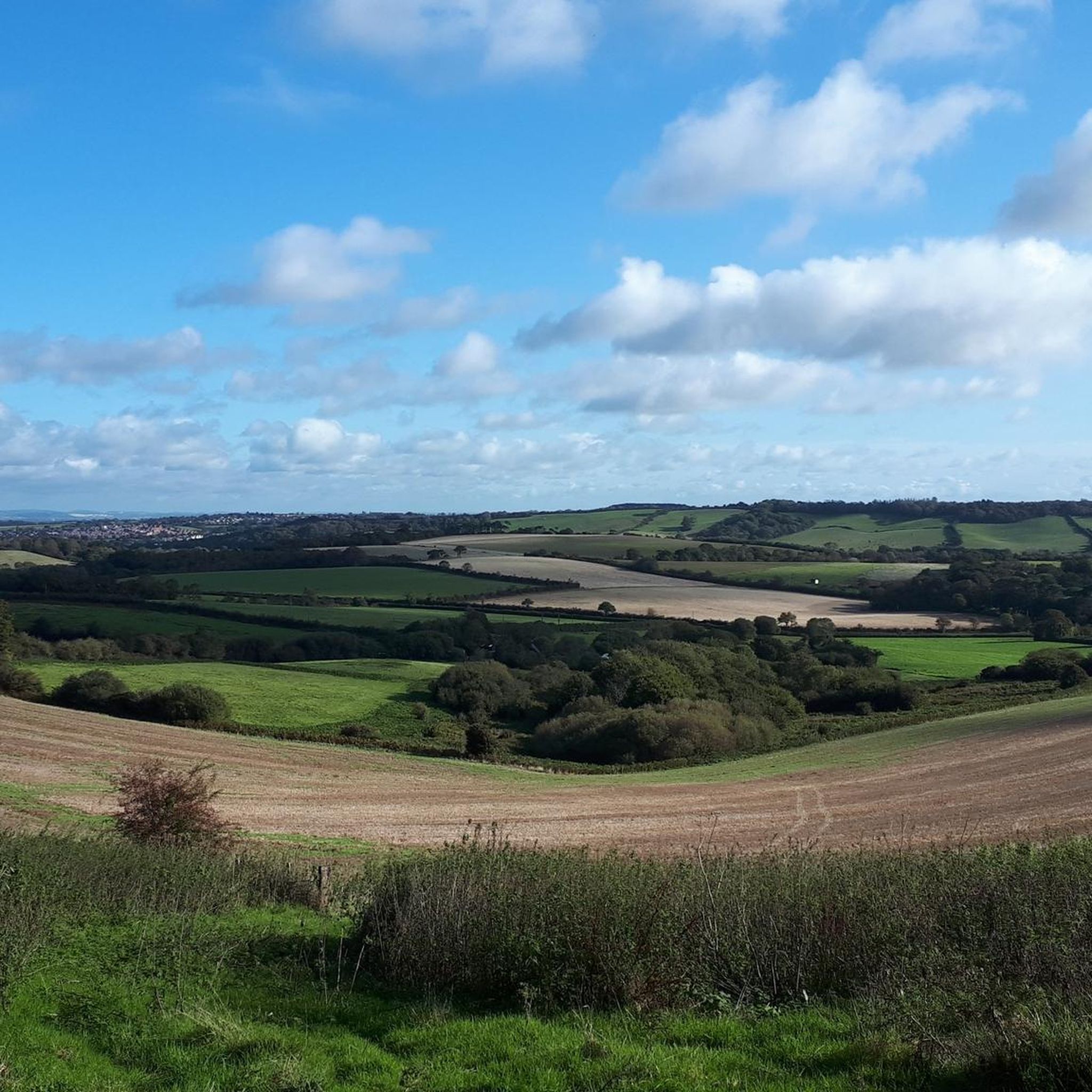
Mountain peaks around Chillerton And Gatcombe are characterized by scenic downs and elevated chalk grasslands, offering expansive views across the Isle of Wight. These areas provide rich natural and historical interest, with prominent features like Chillerton Down and Garstons Down. The region is known for its diverse landscapes, including downland, farmed areas, and wooded valleys. Visitors can explore a network of trails that showcase the island's unique geology and ecological significance.
Best mountain peaks around Chillerton And Gatcombe
- The most…
Last updated: May 17, 2026
Bunkers on Ventnor Downs
Highlight • Monument
Tip by

Shanklin Down Summit View
Highlight • Summit
Tip by
Sign up now to discover places like this
Get recommendations on the best single tracks, peaks, & plenty of other exciting outdoor places.
Sign up for free
View of Ventnor from St Boniface Down
Highlight • Viewpoint
Tip by
Ventnor Downs
Highlight • Trail
Tip by

View of St Boniface Down
Highlight • Viewpoint
Tip by
Start today with a free account
Your next adventure awaits.
Login or Signup
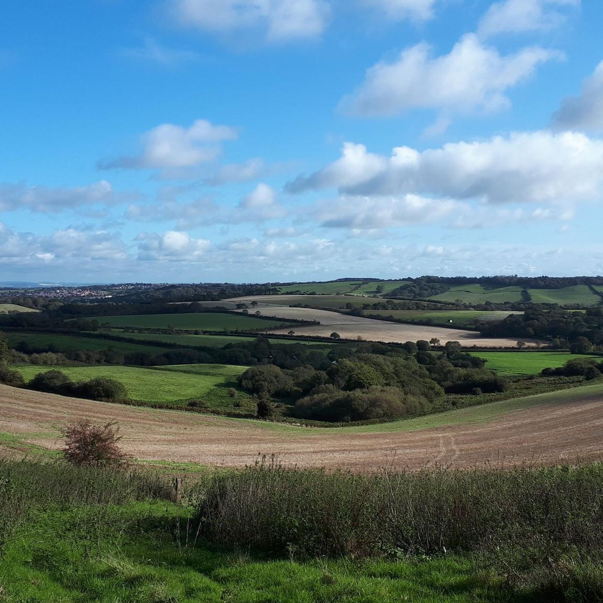
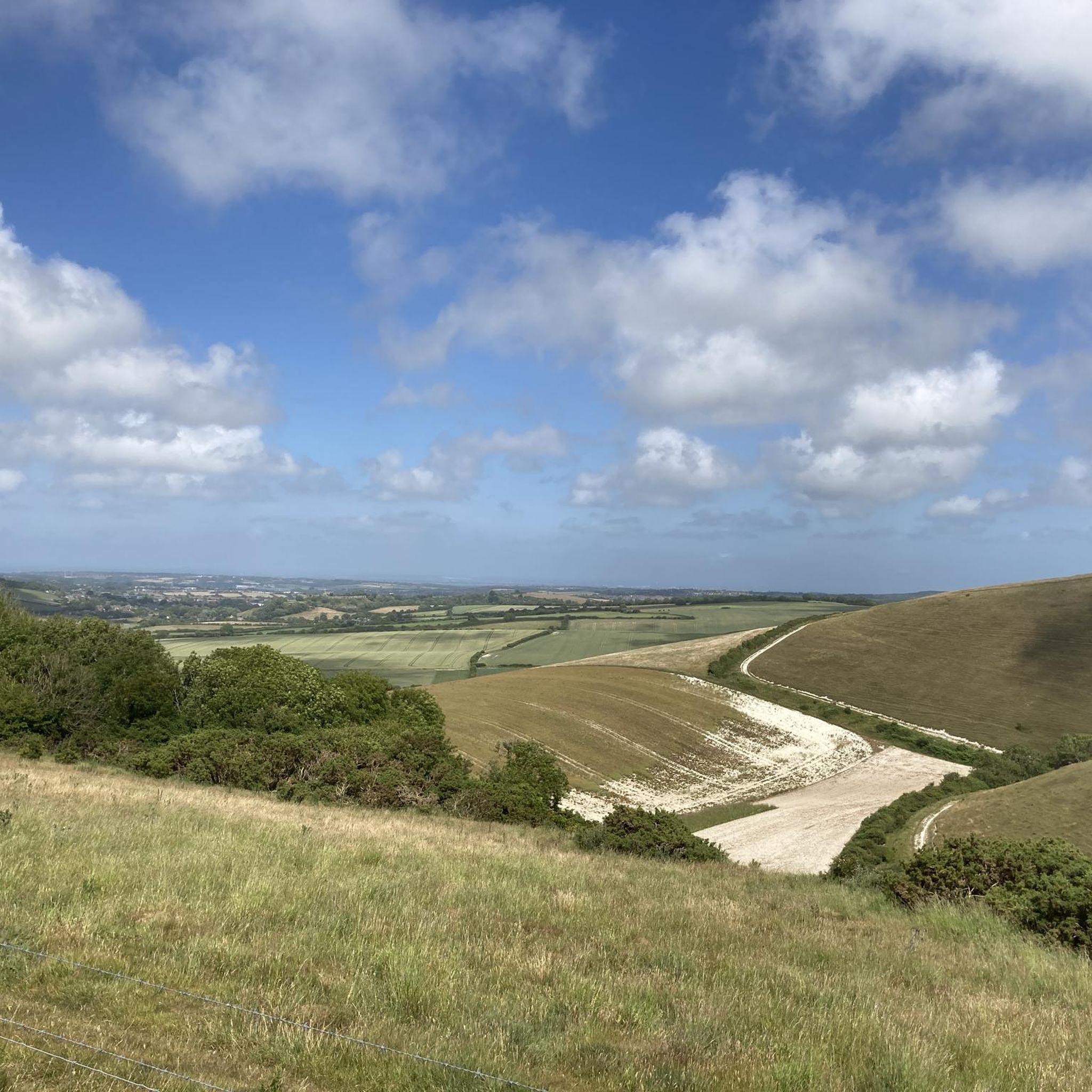
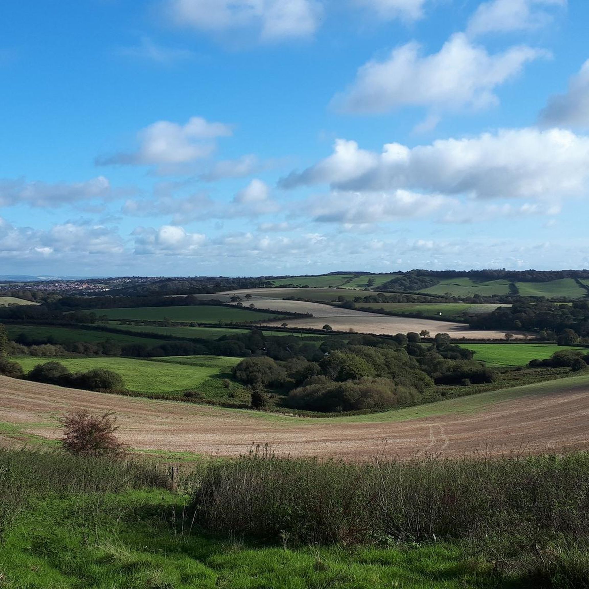
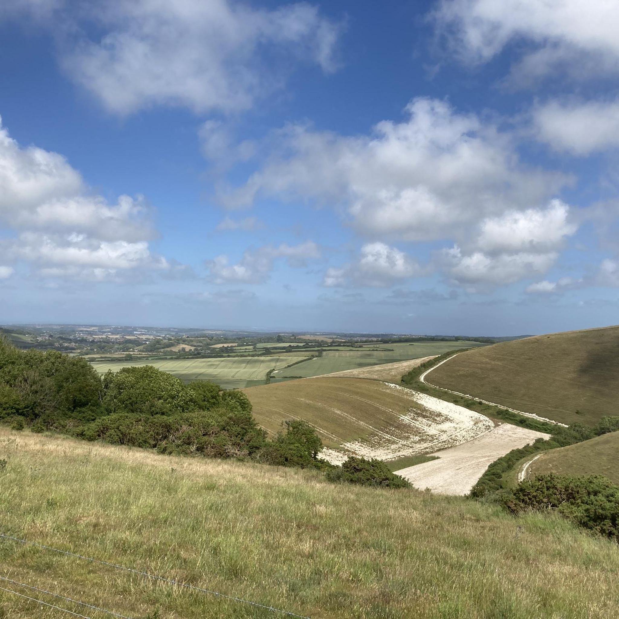
Tips from the Community

The climb is a bit steep, but the views are expansive, over land and sea. Don't be afraid, just respect the cows, goats, and dogs. Today they were all friendly and well-disposed.
0
0
I love running this track with my dogs—it's peaceful, and the views are absolutely breathtaking.
0
0

Ventnor Downs is the group of downs above Ventor which includes St Boniface Down where you can find the highest point on the Isle of Wight. There is a lot of free parking spaces up here and incredible views over the coast so a run around this area is fully recommended.
0
0
It's high, but it's worth the climb. On a good day you can see all the way to the Isle of Portland to the west and even to France to the south. St Boniface Down is home to the highest point on the Isle of Wight. The trig point, just north of here stands at 241m.
0
0
Arguably one of the best views on the Isle of Wight, from Shanklin Down you can see all the way out to the Nab Tower lighthouse in the east, out to the Needles Headland in the west and even over the Solent to the mainland.
0
0

The unmade section of road (beyond the radar station) is now closed to motor vehicles. There are still plenty of free parking areas along the road up to that point.
0
0
Adjacent to the highest point on the Island (St Boniface Down), this free car park is an excellent place to start a walk or ride for some big views across the Island and beyond. But be warned: the access road is very steep and the final section is unmade, with some rather sizeable undulations.
0
0

Great Views across Shanklin and Sandown Bay to Culver Cliff in the distance
1
0
Frequently Asked Questions
What are the most notable "peaks" or elevated areas to explore around Chillerton and Gatcombe?
While Chillerton and Gatcombe are known for scenic downs rather than towering mountains, key elevated areas include Chillerton Down and Garstons Down. Chillerton Down offers panoramic views and historical features like an Iron Age hill fort, while Garstons Down is a Site of Special Scientific Interest known for its rich biodiversity, especially orchids. For wider views across the island, you can also explore areas like Shanklin Down Summit View and Ventnor Downs.
Where is the highest point on the Isle of Wight, and can I visit it?
The highest point on the Isle of Wight is St Boniface Down, which reaches an elevation of 241 meters (791 ft). While the exact highest point is occupied by Ventnor Radar Station, the surrounding Bunkers on Ventnor Downs and View of St Boniface Down areas are accessible and offer extensive views across the island and even to the mainland on clear days. There's a rather steep access road with free parking available.
What unique natural features can I find on Chillerton Down?
Chillerton Down is characterized by its beautiful downland, farmed areas, and wooded valleys. It offers sweeping rural views across the island, with distant glimpses of the sea, including Chale Bay and the sandy beaches of Sandown. In spring, the hillsides are vibrant with wildflowers like harebells, scabious, and orchids. It's also a great spot for birdwatching, with buzzards often seen overhead.
What makes Garstons Down ecologically significant?
Garstons Down is designated as a Site of Special Scientific Interest (SSSI) due to its status as one of the best remaining inland examples of unimproved chalk downland. It boasts diverse flora, including large populations of pyramidal and bee orchids, a vigorous colony of burnt-tip orchids (the only known location on the island for this species), and numerous early gentian plants.
Are there any historical sites or landmarks on these downs?
Yes, Chillerton Down features earthworks known as "Five Barrows," which are the remains of an unfinished Iron Age promontory fort, adding a layer of historical intrigue. Additionally, the distinctive Chillerton Mast, a transmitting station erected in 1958, stands 228.9 meters (751 ft) tall and is visible from almost anywhere around the island, serving as a prominent landmark.
What outdoor activities are popular on Chillerton Down?
Chillerton Down is a popular spot for various outdoor activities. It's designated as open access land, allowing walkers to roam freely. It's ideal for hiking, with trails like a 4.5-mile circular walk showcasing its peaceful beauty. Other activities include picnicking, birdwatching, and even paragliding for the more adventurous.
Are there family-friendly walks or activities around Chillerton and Gatcombe?
The downs around Chillerton and Gatcombe, including Chillerton Down, offer open access land and various trails suitable for walks. The peaceful and unspoilt nature of these areas, combined with opportunities for picnicking and birdwatching, can make for enjoyable family outings. Many of the trails on Ventnor Downs are also noted as dog-friendly, which can be a good indicator for family suitability.
What is the best time to visit the downs for wildflowers?
The spring months are particularly vibrant for wildflowers on the downs. Chillerton Down, for example, sees harebells, scabious, and orchids in bloom. Garstons Down is especially notable for its orchids, including pyramidal, bee, and the rare burnt-tip orchids, making spring and early summer an excellent time for botanists and nature enthusiasts.
What cycling opportunities are available near Chillerton and Gatcombe?
The area around Chillerton and Gatcombe offers a variety of cycling routes. You can find options for touring bicycles, such as the 'Sandown to Newport Cycle Path – Merstone Station Picnic Area loop from Newport' (12.8 km, easy), or more challenging routes like 'The Needles – Hairpin Bends Near the Needles loop from Newport' (46 km, difficult). For more details, explore the Cycling around Chillerton And Gatcombe guide.
Are there mountain biking trails in the vicinity?
Yes, there are several mountain biking trails near Chillerton and Gatcombe. Options range from moderate to difficult, including routes like the 'Chalk Ridge Extreme Trail' (40.5 km, moderate) or the 'View of Chillerton Down – Limerstone Down Viewpoint loop from Newport' (68.3 km, difficult). You can find more information and specific routes in the MTB Trails around Chillerton And Gatcombe guide.
What do visitors enjoy most about the elevated areas around Chillerton and Gatcombe?
Visitors consistently praise the expansive and panoramic views offered from these elevated areas, such as those from Shanklin Down Summit View, which provides wide vistas across the entire island and out to sea. The peaceful, unspoilt nature of the downs, the rich biodiversity, and the opportunities for hiking and enjoying the outdoors are also highly valued by the komoot community.
Most popular routes around Chillerton And Gatcombe
Most popular attractions around Chillerton And Gatcombe

Get inspired with the komoot mobile app


Explore more
See even more amazing summits around Chillerton And Gatcombe with these guides:
