The 20 Most Amazing Peaks in the MacGillycuddy's Reeks
Best mountain peaks in the MacGillycuddy's Reeks are located in a rugged mountain range in County Kerry, Republic of Ireland. This region features Ireland's highest peaks, characterized by dramatic landscapes and challenging climbs. The range was shaped by Pleistocene glaciation, resulting in sharp ridges, corries, and over a dozen summits exceeding 900 meters. Its topography, with serrated skylines and steep cirque walls, offers opportunities for alpine-style ridge traverses and technical scrambling.
Best mountain peaks in the MacGillycuddy's Reeks
- The most…
Last updated: September 26, 2026
Summit cross on Carrauntoohil
Highlight • Summit
Tip by

Caher
Highlight • Summit
Tip by

Sign up now to discover places like this
Get recommendations on the best single tracks, peaks, & plenty of other exciting outdoor places.
Beenkeragh
Highlight • Summit
Tip by

Strickeen Mountain Summit
Highlight • Summit
Tip by

View from Torc Mountain
Highlight • Viewpoint
Translated by Google •
Tip by

Knockavahaun Summit
Highlight • Summit
Translated by Google •
Tip by

Purple Mountain
Highlight • Summit
Cnoc an Chuillinn
Highlight • Summit
Tip by

Brother O'Shea's Gully (Beenkeragh Route)
Highlight (Segment) • Climb
Translated by Google •
Tip by

The Bones (959 m) – MacGillycuddy's Reeks
Highlight • Summit
Tip by

Sign up for free to discover even more peaks in the MacGillycuddy's Reeks.
Already have an account?
Start today with a free account
Your next adventure awaits.
Popular around MacGillycuddy's Reeks
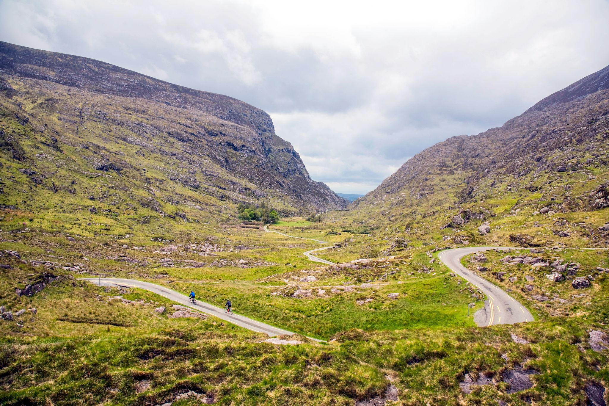
Incomparable Ireland Challenge: Reeks District Big Five
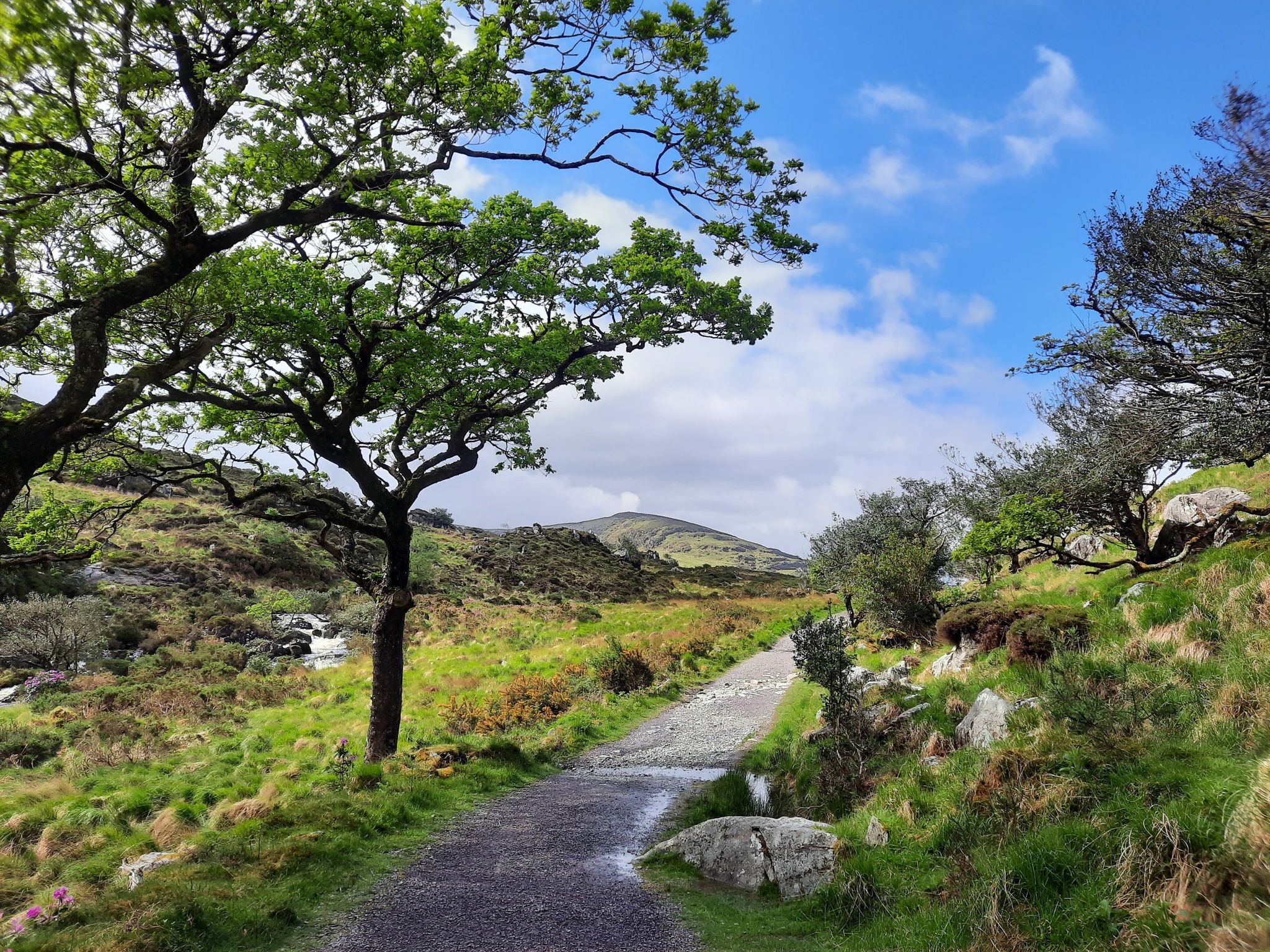
Run the Kerry Way – Around the rugged west coast of Ireland
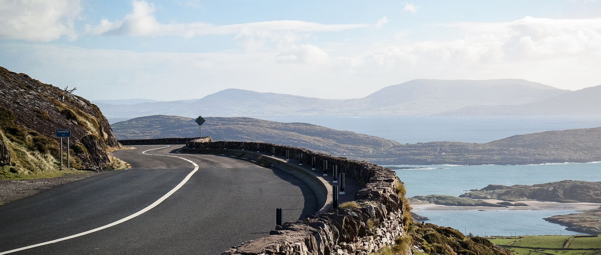
Ring of Kerry — a magical Irish weekend
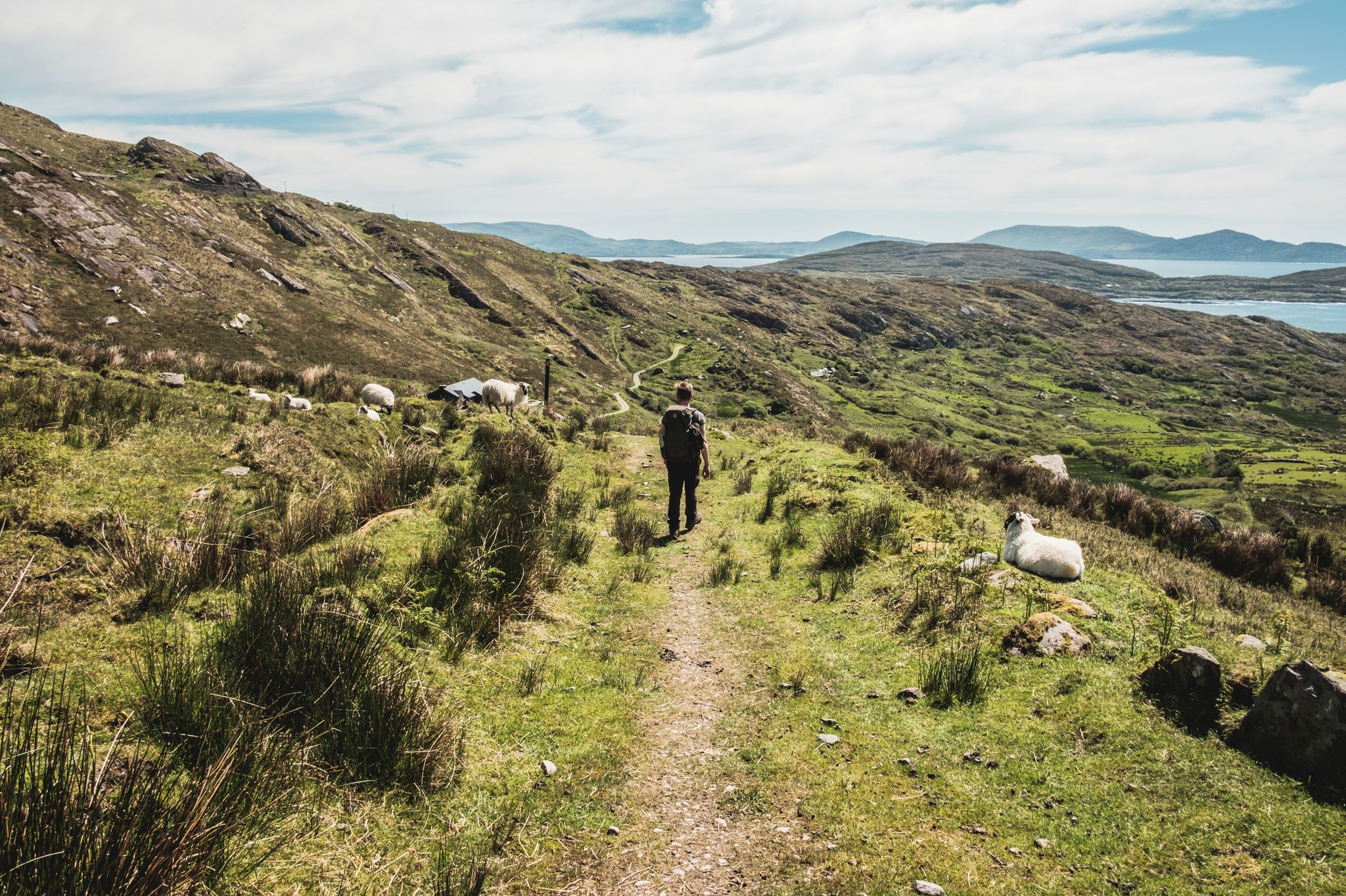
The Kerry Way — 9 mountainous stages in south west Ireland
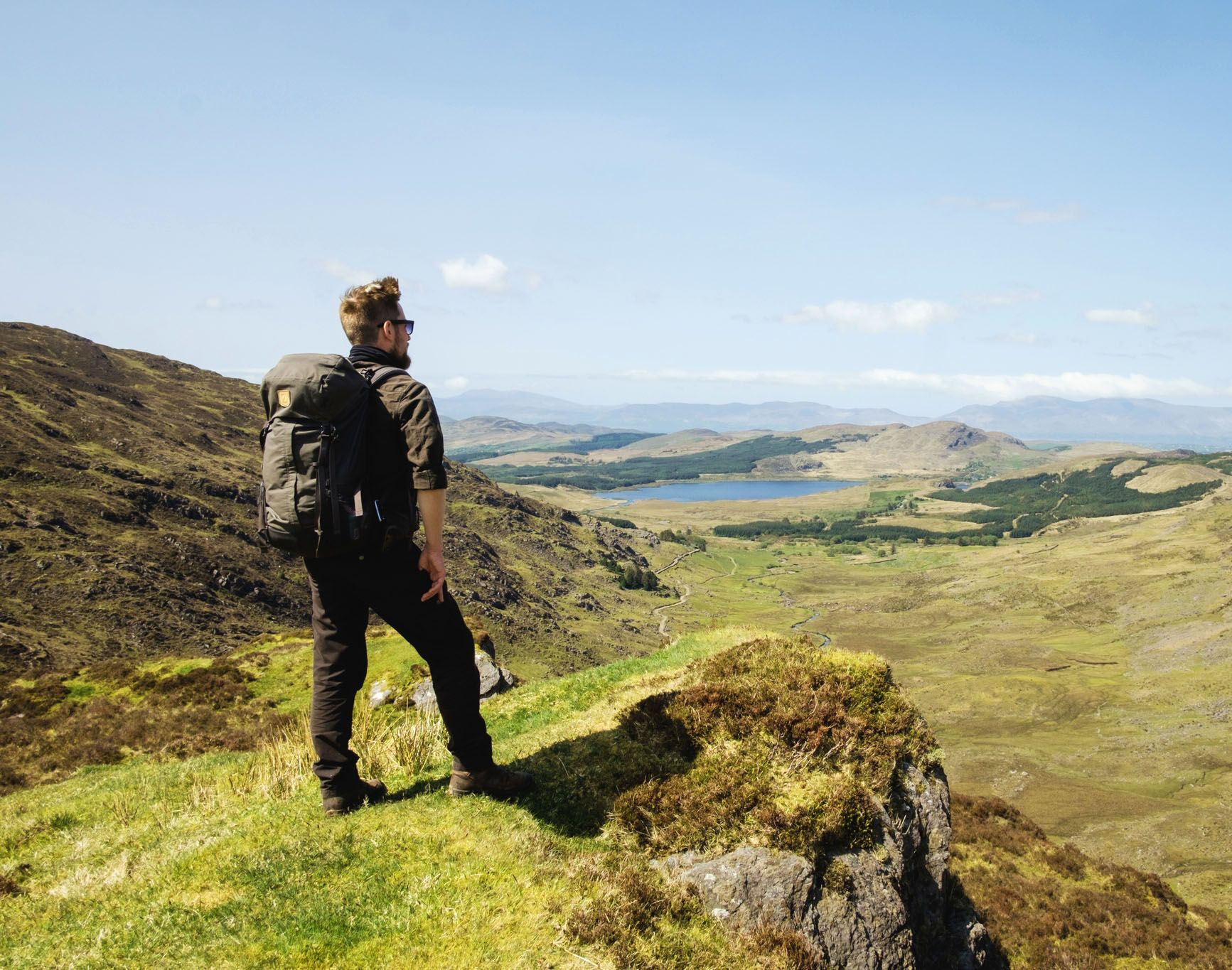
Ireland's finest – three days along the Kerry Way Loop

Follow the water - Along Ireland's rivers and lakes
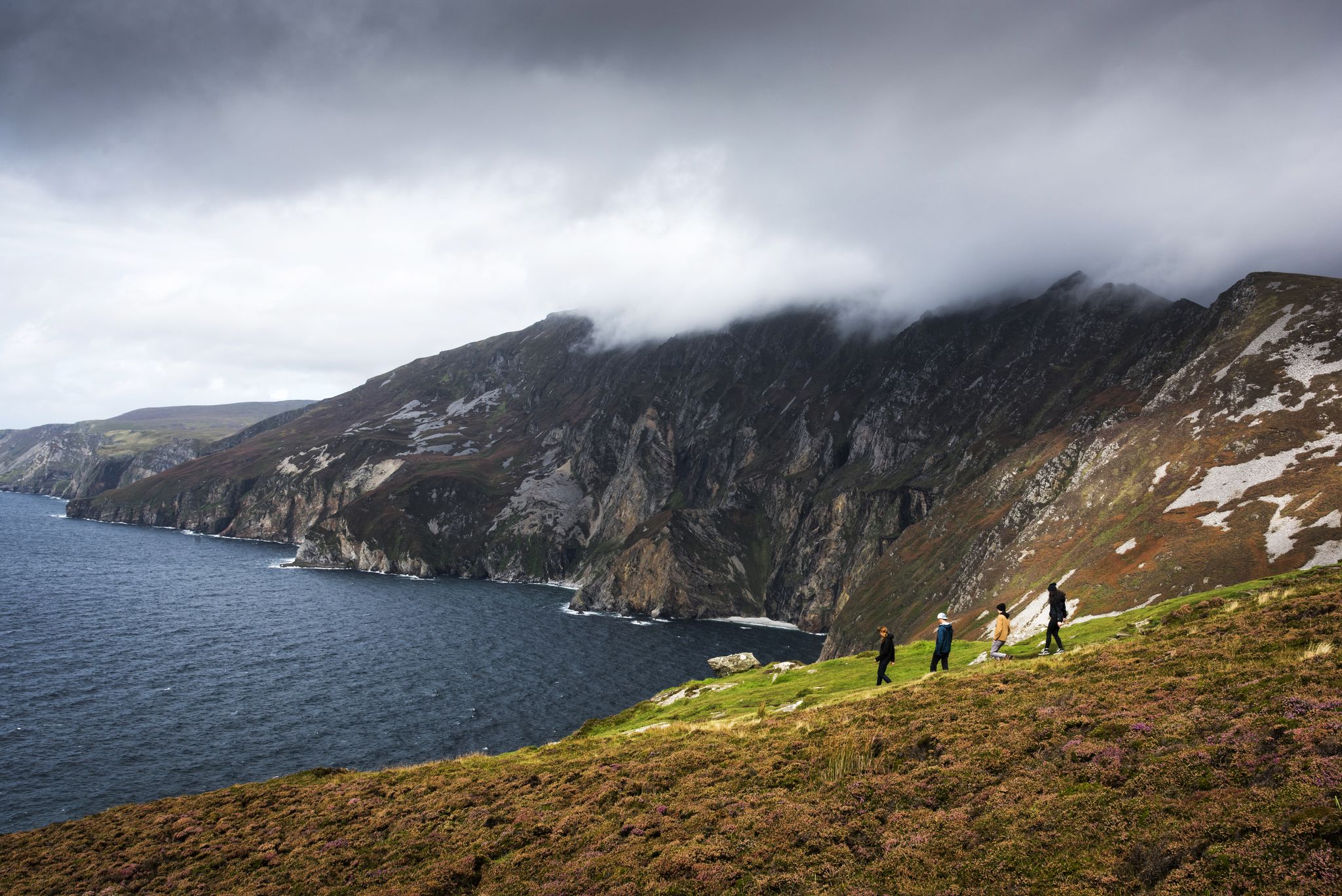
Hike Ireland's coast: cliffs, waves and wonderful wide beaches
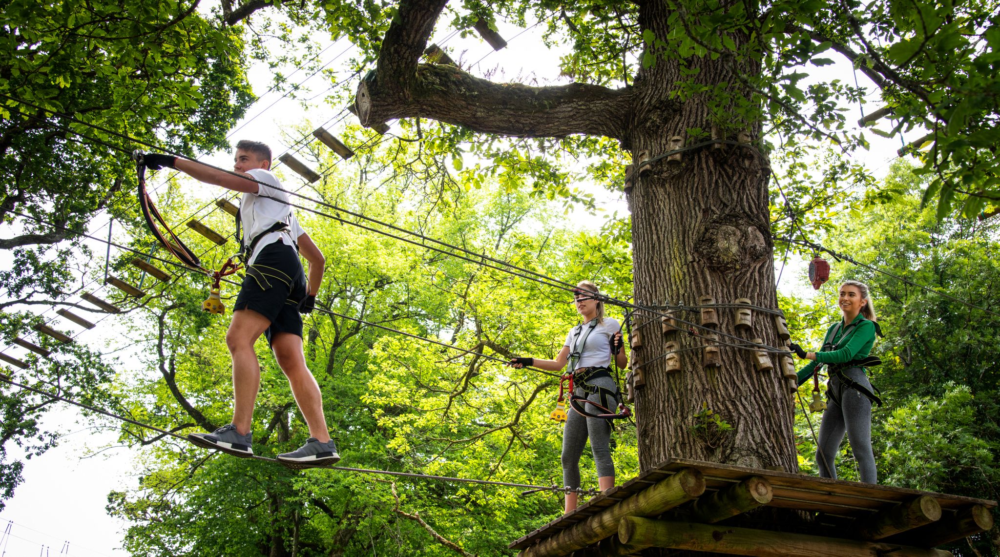
Awaken your spirit of discovery — family-friendly walks in Ireland
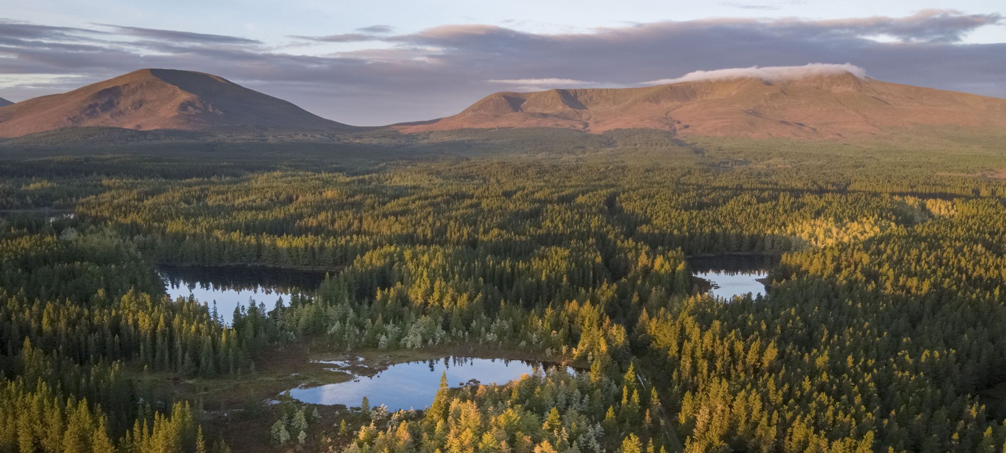
Discover Ireland's unspoilt nature in its national parks

Ireland's blue rivers and lakes – walks along the water
Other adventures in the MacGillycuddy's Reeks


Tips from the Community

Knockavahaun is 371 metres (1,218 feet) high and offers a fantastic view of the vast hills of the western Iveragh Peninsula. Toward the south-west you can see the circular Ballinskellig Bay.
0
0

Rising to 3,300 feet (1,000 m), Caher is Ireland's third highest peak, only topped by neighbouring Carrauntoohil and Beenkeragh. It's a high point on the classic Coomloughra Horseshoe, one of Ireland's most coveted mountain days. Its Irish name, Cathair na Féinne, means fortress of the Fianna, the mythical warriors and hunters of Irish legend.
0
0

Amidst the imposing countryside of County Kerry, Caher rises majestically towards the sky. Its name, Cathair na Féinne, which means "stone fortress of the Fianna", reveals a piece of its mystical past. If you follow his path, you will be walking in the footsteps of the ancient Irish warriors, the Fianna. Part of the impressive MacGillycuddy's Reeks, Caher stands at 1,000 meters and is the third highest peak in Ireland. From here, a panorama that is second to none unfolds before your eyes. The view sweeps over Beenkeragh and Carrauntoohil, two other giants of this mountain range, which look out over the land like ancient sentinels. The sight of these majestic mountains makes you stop and admire the endless expanse and beauty of the Irish landscape. But Caher is not only known for its views. Anyone who moves up here feels the challenge of walking on the ridge, especially when the wind blows strongly over the mountain ridges. This ridge path leads brave hikers along the summit ridge, giving them unparalleled views with every step. The mountain itself is divided into a double peak: While the western peak is a little more modest at 975 meters, the main peak rises proudly to 1,001 meters. Both offer a unique perspective of the surrounding mountains and valleys and will make every mountain lover's heart beat faster. So if you want to feel the pulse of the Irish mountains and follow in the footsteps of the legendary Fianna, then Caher is the perfect place for you. But don't forget to take extra care in strong winds. Nature shows itself here in all its raw beauty and power. You can find more highlights and tours in County Kerry here: https://www.komoot.de/collection/2437463/-county-kerry.
0
0

You should have good shoes and weatherproof clothing with you. The wind can be strong at the top, although there is almost no wind at the bottom. It's sometimes steep over rocks and well-developed over wire-covered wooden planks to the summit. Weather permitting, you have a great view of the surrounding hills and lakes of Killarney National Park from the top.
3
0

The path consists of sections made of wooden planks and in other places of rocky ground. A few hiking sticks would have been helpful here and there but not absolutely necessary.
3
0

A much quieter option than the Gap of Dunloe, running to the summit of Strickeen Mountain (440m) rewards you with stunning views of Hag's Glen and the MacGillycuddy’s Reeks. On the way up you're accompanied by sweeping vistas of Lough Leane, Killorglin and the Slieve Mish Mountains. It's hard to find a run location with better surroundings than this.
0
0
While others hike the Gap of Dunloe, try instead the climb to the summit of Strickeen Mountain (440m). At the top you are rewarded with stunning views of Hag's Glen and the MacGillycuddy’s Reeks, but only after the sweeping vistas of Lough Leane, Killorglin and the Slieve Mish Mountains on the way up.
3
0
Carrauntoohill is the highest mountain in Ireland and a popular spot for hikers. The mountain lies in the heart of Macgillycuddy's Reeks and offers breathtaking views of the surrounding landscapes. There are several routes to the summit for hikers, including the well-known Devil's Ladder and Molly's Bar trails. "Devil's Ladder" is a steep route with many steps and is suitable for experienced hikers. "Molly's Bar" is a longer and easier route that is also suitable for beginners. Both routes offer spectacular views of the surrounding area and are worth exploring. Hiking Carrauntoohill is an unforgettable experience and a must for anyone who wants to experience the beauty of Ireland. Make sure you are well prepared and have the right equipment before you head out. And don't forget to appreciate and respect nature while exploring the mountain. You can find more highlights and tours in County Kerry here: https://www.komoot.de/collection/2437463/-county-kerry
6
0
Frequently Asked Questions
What are the highest mountain peaks in the MacGillycuddy's Reeks?
The MacGillycuddy's Reeks are home to Ireland's three highest peaks: Carrauntoohil (1,038.6 m), Beenkeragh (1,008 m), and Caher (1,000 m). These peaks offer dramatic landscapes and challenging climbs.
Which mountain peaks offer the best panoramic views in the MacGillycuddy's Reeks?
For breathtaking panoramic views, consider Carrauntoohil, Ireland's highest mountain, which provides spectacular vistas of the range and Killarney National Park. Caher also offers exceptional views, particularly over Beenkeragh and Carrauntoohil. For a less strenuous option, Strickeen Mountain Summit (440m) provides stunning views of Hag's Glen, the MacGillycuddy’s Reeks, Lough Leane, and the Slieve Mish Mountains.
Are there any family-friendly mountain peaks or viewpoints in the MacGillycuddy's Reeks?
While many peaks in the MacGillycuddy's Reeks are challenging, Strickeen Mountain Summit (440m) is a more accessible option that still rewards with stunning views. Another great choice is the View from Torc Mountain, where much of the ascent is covered with wooden floorboards, making it easier to reach the summit.
What are the most challenging climbs or routes in the MacGillycuddy's Reeks?
The MacGillycuddy's Reeks are known for challenging climbs and scrambling. The 12-kilometer Coomloughra Horseshoe route encompasses Ireland's three highest peaks and offers a strenuous experience over rocky terrain with sections of light scrambling. For the most intrepid, the full MacGillycuddy's Reeks Ridge Walk is a 26-kilometer traverse of the entire range, taking 12 to 14 hours and including sensational scrambling.
What natural features define the MacGillycuddy's Reeks mountain range?
The MacGillycuddy's Reeks are characterized by their dramatic topography, including serrated skylines, steep cirque walls, and sharp ridges. These features were shaped by Pleistocene glaciation. The range is composed mainly of resistant Old Red Sandstone, with exposed quartzite caps at higher elevations, contributing to its rugged appeal.
What should I know about hiking Carrauntoohil, Ireland's highest peak?
Carrauntoohil is Ireland's highest mountain at 1,038.6 meters. Popular ascent routes include the Devil's Ladder and Brother O'Shea's Gully. It's crucial to be prepared for rapidly changing weather conditions, even in summer, and to wear warm, wind- and waterproof clothing with good mountain boots. The ascent and descent can be dangerous in rain, and you should plan about six hours for the hike.
Are there specific viewpoints to see Ballinskellig Bay from the MacGillycuddy's Reeks?
Yes, Knockavahaun Summit, at 371 meters, offers fantastic views of the rolling hills of the western Iveragh Peninsula, and looking southwest, you can clearly see the circular Ballinskellig Bay.
What outdoor activities can I do near the MacGillycuddy's Reeks mountain peaks?
Beyond peak bagging, the region offers diverse outdoor activities. You can explore various hiking trails, including the challenging Coomloughra Horseshoe or the moderate Muckross Lake Walk. There are also running trails like the Strickeen Trail, and scenic road cycling routes such as the Black Valley – The Gap of Dunloe loop.
What is the 'Beenkeragh Ridge' and what does it offer?
The 'Beenkeragh Ridge', sometimes called 'The Bones arete', is a prominent ridge leading to Beenkeragh, Ireland's second-highest peak. It provides a challenging and highly regarded scrambling experience, often forming part of the popular Coomloughra Horseshoe route. It's not recommended on icy or windy days due to its exposed nature.
What is the best time of year to hike in the MacGillycuddy's Reeks?
While the MacGillycuddy's Reeks can be visited year-round, the best time for hiking is generally from late spring to early autumn (May to September) when weather conditions are more stable and daylight hours are longer. However, even in summer, weather can be unpredictable, so always be prepared for wind, rain, and cooler temperatures at higher elevations.
Are there any less-known but rewarding peaks to explore in the MacGillycuddy's Reeks?
Beyond the three highest peaks, other significant summits like Cnoc na Péiste (985 m), Maolán Buí (968 m), and The Big Gun (939 m) offer excellent alpine-style ridge traverses and technical scrambling opportunities, particularly within the Eastern Reeks. These can provide a rewarding experience away from the busiest routes.
Most popular routes in the MacGillycuddy's Reeks
Most popular attractions in the MacGillycuddy's Reeks

Get inspired with the komoot mobile app


