The best walks and hikes in the MacGillycuddy's Reeks
4.5
(4629)
22,068
hikers
204
hikes
Hiking in the MacGillycuddy's Reeks offers access to Ireland's highest mountain range, characterized by dramatic glacial topography. The region features rugged peaks, including Carrauntoohil at 1,038 meters, along with U-shaped valleys, sharp arêtes, and diverse habitats of montane heath and blanket bog. The landscape is further defined by oligotrophic lakes and the River Laune, providing varied terrain for outdoor exploration.
Best hiking trails in the MacGillycuddy's Reeks
- The most popular hiking route is Carrauntoohil via Devil's Ladder Loop, a 7.7 miles (12.5 km) trail that takes 5 hours 26 minutes to complete. This route ascends Ireland's highest peak, Carrauntoohil.
- Another top favourite among local hikers is The Coomloughra Horseshoe Trail to Carrantuohill, a difficult 7.8 miles (12.6 km) path. This challenging route offers extensive ridge walking across multiple high peaks.
- Local hikers also love the Muckross Lake Walk, a 8.6 miles (13.9 km) trail leading through Killarney National Park, often completed in about 3 hours 43 minutes.
- Hiking in the MacGillycuddy's Reeks is defined by majestic peaks, glacial valleys, and diverse montane habitats. The network offers options for various ability levels, from moderate walks around lakes to strenuous mountain ascents.
- The routes in MacGillycuddy's Reeks are highly rated by the komoot community with an average score of 4.6 stars from over 3700 reviews. More than 18000 hikers have used komoot to explore MacGillycuddy's Reeks's varied terrain.
Last updated: October 8, 2026
4.7
(937)
3,212
hikers
13.9km
03:43
170m
170m
Moderate hike. Good fitness required. Easily-accessible paths. Suitable for all skill levels.
4.8
(245)
1,322
hikers
9.75km
03:32
430m
430m
Moderate hike. Good fitness required. Mostly accessible paths. Sure-footedness required.

4.6
(193)
837
hikers
12.5km
05:26
840m
840m
Hard hike. Very good fitness required. Sure-footedness, sturdy shoes and alpine experience required.
4.7
(215)
1,099
hikers
12.7km
03:29
200m
200m
Moderate hike. Good fitness required. Easily-accessible paths. Suitable for all skill levels.
4.7
(173)
648
hikers
8.90km
02:59
320m
320m
Moderate hike. Good fitness required. Mostly accessible paths. Sure-footedness required.
4.8
(191)
701
hikers
7.75km
02:08
130m
130m
Moderate hike. Good fitness required. Mostly accessible paths. Sure-footedness required.
4.6
(144)
590
hikers
6.13km
01:36
40m
40m
Easy hike. Great for any fitness level. Easily-accessible paths. Suitable for all skill levels.
4.7
(109)
461
hikers
7.13km
02:04
190m
190m
Moderate hike. Good fitness required. Easily-accessible paths. Suitable for all skill levels.
4.9
(39)
287
hikers
12.6km
08:20
980m
980m
Hard hike. Very good fitness required. Sure-footedness, sturdy shoes and alpine experience required.
4.8
(130)
528
hikers
20.6km
05:45
370m
370m
Hard hike. Very good fitness required. Easily-accessible paths. Suitable for all skill levels.
Get access to more routes and recommendations from other explorers.
Already have an account?
Our route recommendations are based on thousands of hikes, rides, and runs completed by other people on komoot.
Start today with a free account
Your next adventure awaits.
Popular around MacGillycuddy's Reeks
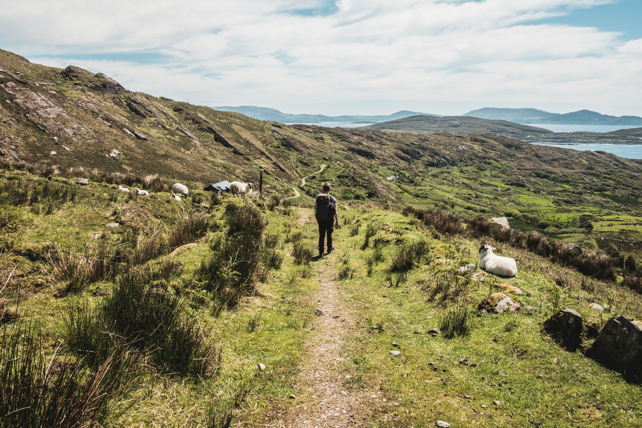
The Kerry Way — 9 mountainous stages in south west Ireland
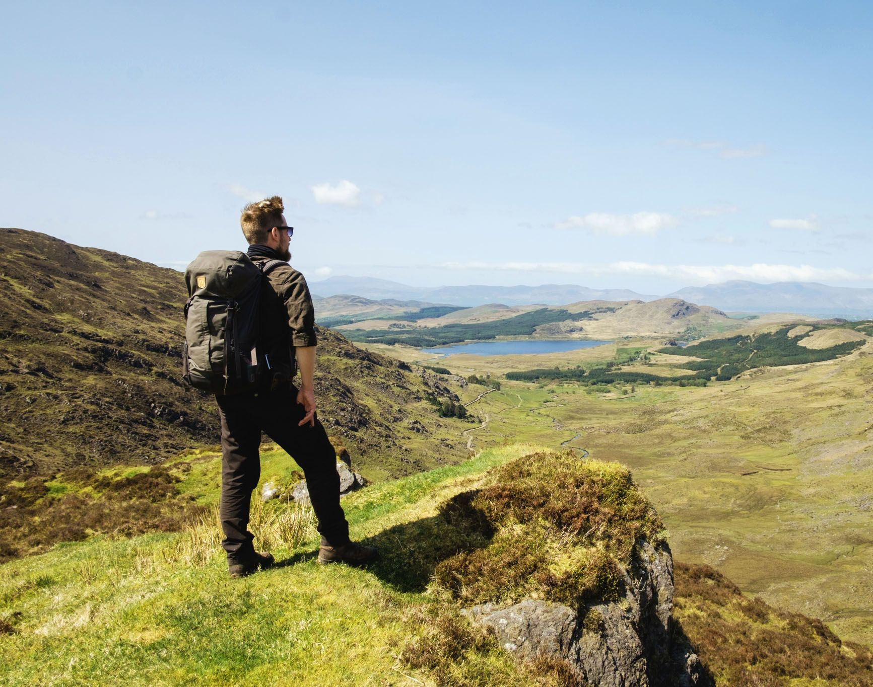
Ireland's finest – three days along the Kerry Way Loop

Follow the water - Along Ireland's rivers and lakes
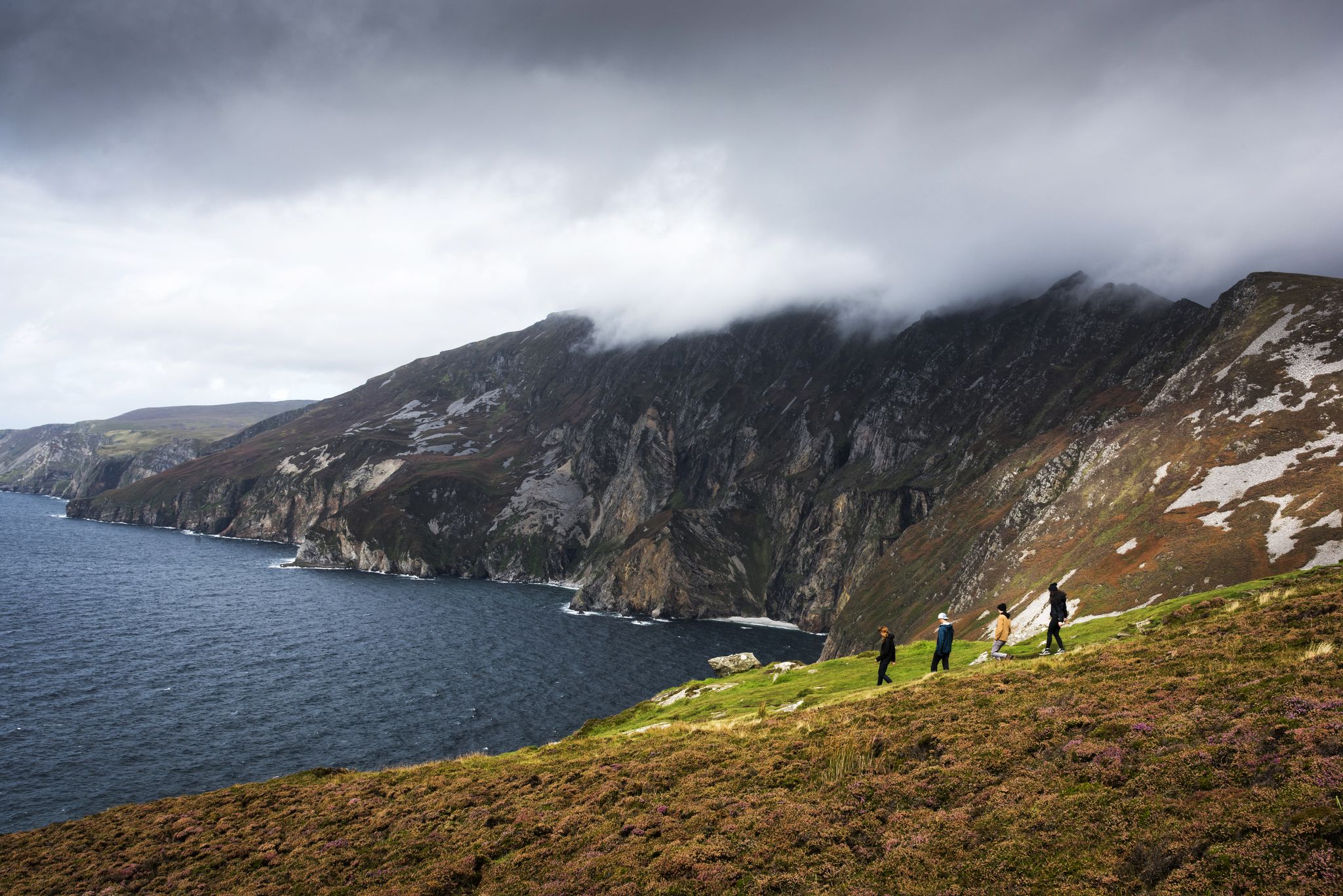
Hike Ireland's coast: cliffs, waves and wonderful wide beaches
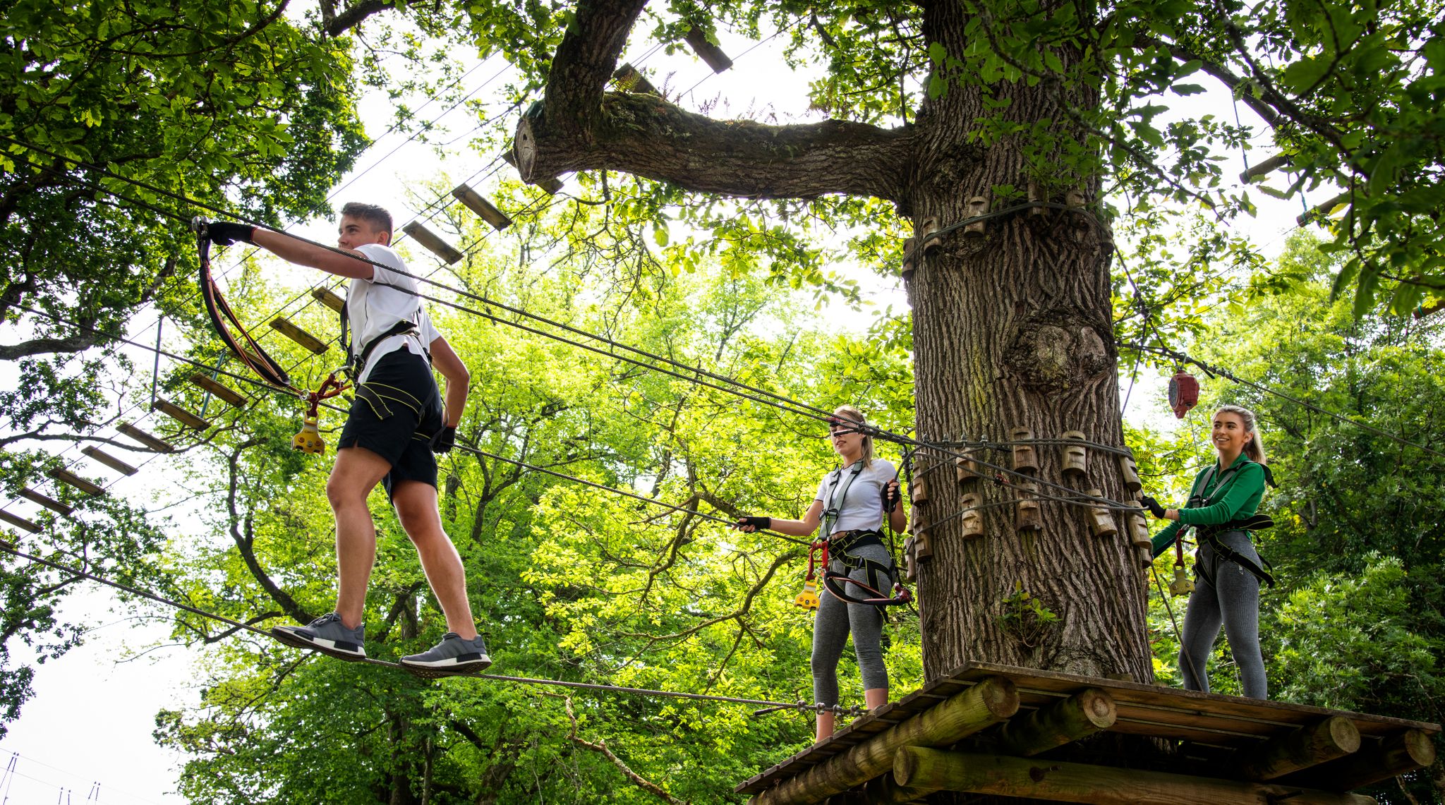
Awaken your spirit of discovery — family-friendly walks in Ireland
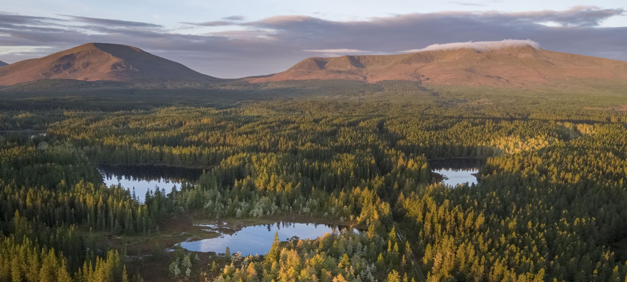
Discover Ireland's unspoilt nature in its national parks

Ireland's blue rivers and lakes – walks along the water

Discover Ireland's past – historical walks on the Emerald Isle

Between waves and peaks — to the best views in Ireland
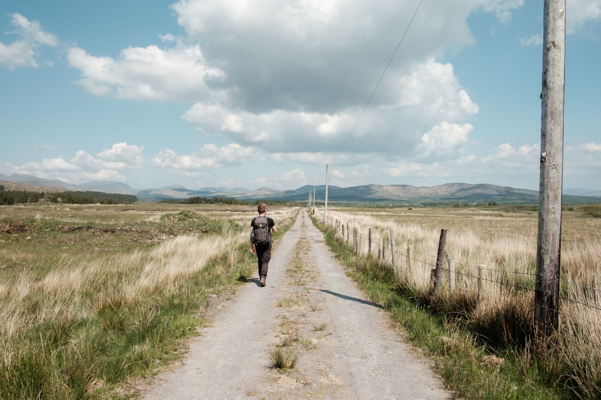
Irish wanderlust — 8 long-distance hiking trails on the Emerald Isle
Other adventures in the MacGillycuddy's Reeks


Tips from the Community

What an impressive scenery - definitely worth the effort to get there (e.g. cycling)!
0
0

Especially when the sun is low, a wonderful photo opportunity.
0
0

It is only about a 3-minute walk from the beach.
0
0
Bridge at the entrance to the gap.
0
0

In the heart of a beautiful park planted with rare species, you can visit the house where Daniel O'Connell—the "Liberator," as he is known—spent his childhood before attending school in Cobh and then in France. This 19th-century residence contains touching reminders of the famous patriot: personal objects, documents, furniture, and family paintings, including a stunning painting depicting him as Hercules breaking his chains!
8
0

Gap of Dunloe is a narrow mountain pass between the MacGillycuddy Reeks and Purple Mountain, amazing 11 kilometres of it! The spectacularly winding road here descends into The Black Valley passing five lakes. The Head of the Gap is its highest point.
0
0
Frequently Asked Questions
How many hiking trails are there in MacGillycuddy's Reeks?
The MacGillycuddy's Reeks area offers a wide variety of hiking experiences, with over 190 routes available. These range from easy walks around lakes to strenuous mountain ascents, catering to different skill levels.
What are the terrain and difficulty levels like in MacGillycuddy's Reeks?
The terrain in MacGillycuddy's Reeks is predominantly rugged, shaped by glacial activity, featuring dramatic peaks, U-shaped valleys, and scree slopes. Difficulty levels vary significantly. You'll find 88 easy routes, 76 moderate, and 35 difficult trails. The highest peaks, like Carrauntoohil, involve challenging ascents over loose rock and exposed ridges.
Are there any family-friendly hiking options in the area?
Yes, there are several accessible options suitable for families, particularly in the surrounding Killarney National Park. For example, the Ross Island loop from Ross Castle is an easy walk. The Muckross Lake Walk also offers a moderate, scenic experience through the park.
What natural features or landmarks can I expect to see while hiking?
MacGillycuddy's Reeks is rich in natural beauty. You can expect to see Ireland's highest peaks, including Carrauntoohil, Beenkeragh, and Caher. The landscape is dotted with oligotrophic lakes like the Coomloughra Loughs, and features dramatic glacial valleys. Notable landmarks include the Summit cross on Carrauntoohil and the challenging Devil's Ladder ascent route.
Are there any circular hiking routes in MacGillycuddy's Reeks?
Yes, many routes in the region are circular, offering varied scenery without retracing your steps. A notable challenging circular route is the Coomloughra Horseshoe Trail to Carrantuohill, which provides extensive ridge walking. For a less strenuous option, the Torc Waterfall loop from Muckross House is also a popular circular trail.
Is there public transport available to the trailheads?
While direct public transport to all remote trailheads within the MacGillycuddy's Reeks can be limited, Killarney town, a major hub, is well-served by buses and trains. From Killarney, local taxi services or pre-arranged shuttles can often take you closer to popular access points like Cronin's Yard, which serves as a starting point for Carrauntoohil ascents.
Where can I park when hiking in MacGillycuddy's Reeks?
Designated parking areas are available at key access points around the MacGillycuddy's Reeks. Cronin's Yard, a common starting point for Carrauntoohil, offers parking facilities. For trails within Killarney National Park, such as those near Muckross House or Torc Waterfall, there are also dedicated parking lots. Always check for specific parking instructions for your chosen trailhead.
What is the best time of year to hike in MacGillycuddy's Reeks?
The best time to hike in MacGillycuddy's Reeks is generally from late spring to early autumn (May to September) when the weather is milder and daylight hours are longer. However, conditions can change rapidly in the mountains, so always be prepared for rain, wind, and cooler temperatures, even in summer. Winter hiking is possible for experienced mountaineers but requires specialized gear and skills due to snow and ice.
What kind of views can I expect from the trails?
Hikers in MacGillycuddy's Reeks are treated to breathtaking panoramic views. From the higher elevations, you can see across the entire Iveragh Peninsula, and on clear days, even glimpse the Dingle and Beara peninsulas. The glacial valleys, numerous lakes, and the dramatic ruggedness of Ireland's highest mountain range create truly spectacular vistas, such as the View from Torc Mountain.
What do other hikers enjoy most about hiking in MacGillycuddy's Reeks?
The MacGillycuddy's Reeks is highly rated by the komoot community, with an average score of 4.6 stars from over 3700 reviews. Reviewers often praise the dramatic and challenging mountain landscapes, the sense of achievement from summiting Ireland's highest peaks, and the expansive, unspoiled natural beauty of the region.
Are there any routes that include waterfalls?
Yes, the region offers trails that feature beautiful waterfalls, particularly within the adjacent Killarney National Park. The Torc Mountain & the Owengarrif River route, for instance, allows you to experience the impressive Torc Waterfall.
What are the most challenging hikes in the area?
For experienced hikers, the MacGillycuddy's Reeks offers some of Ireland's most challenging routes. The ascent of Carrauntoohil via the Devil's Ladder Loop is a difficult climb to Ireland's highest peak. Even more demanding is the full MacGillycuddy's Reeks Ridge Walk, a multi-peak traverse that requires significant endurance and navigational skills.
Are there any easier walks near the main peaks?
While the main peaks are challenging, there are easier walks in the broader region. The Gap of Dunloe Trail, located at the eastern boundary of the Reeks, offers a moderate and picturesque walk through a glacial valley. Additionally, the Tomies Wood loop provides a moderate forest walk with views of the surrounding mountains.
Most popular routes in the MacGillycuddy's Reeks
Most popular attractions in the MacGillycuddy's Reeks

Get inspired with the komoot mobile app


Explore more
Browse the best Hikes in other regions.
