The 9 Most Amazing Peaks around Fountains Earth
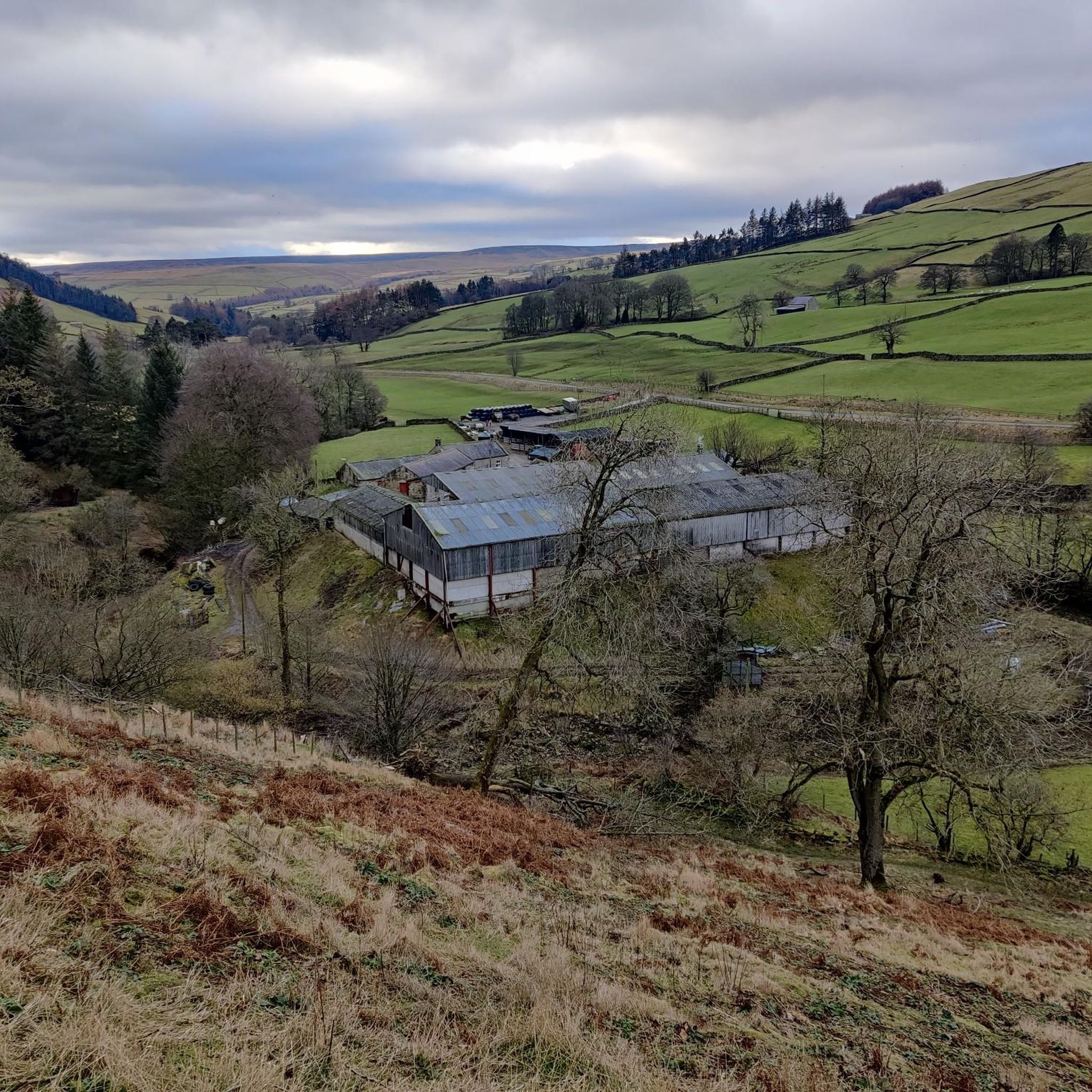
Best mountain peaks around Fountains Earth are located within a civil parish in North Yorkshire, England, nestled in the Yorkshire Dales. This area is characterized by its expansive moorland landscapes and provides access to several notable peaks. Fountains Fell is a prominent mountain in the region, known for its historical significance and as a key point along the Pennine Way. The landscape offers a diverse natural environment for exploration.
Best mountain peaks around Fountains Earth
- The most popular mountain peaks…
Last updated: June 30, 2026
Great Whernside Summit
Highlight • Viewpoint
The name Whernside (from Querneside in Old English), first …
Tip by

High Crag Ridge Trig Point
Highlight • Natural Monument
Tip by

Sign up now to discover places like this
Get recommendations on the best single tracks, peaks, & plenty of other exciting outdoor places.
Sign up for free
Far Comb Hill
Highlight • Viewpoint
Tip by

Meugher Summit Trig Point
Highlight • Viewpoint
Tip by
Riva Hill Summit
Highlight • Viewpoint
(Hill ID: 512335) [JNSA s11332]
County of Yorkshire Definitive List summit.
Nidderdale National Landscape Definitive List summit.
Tip by

Sign up for free to discover even more peaks around Fountains Earth.
Sign up for free
Already have an account?
Start today with a free account
Your next adventure awaits.
Login or Signup

Tips from the Community

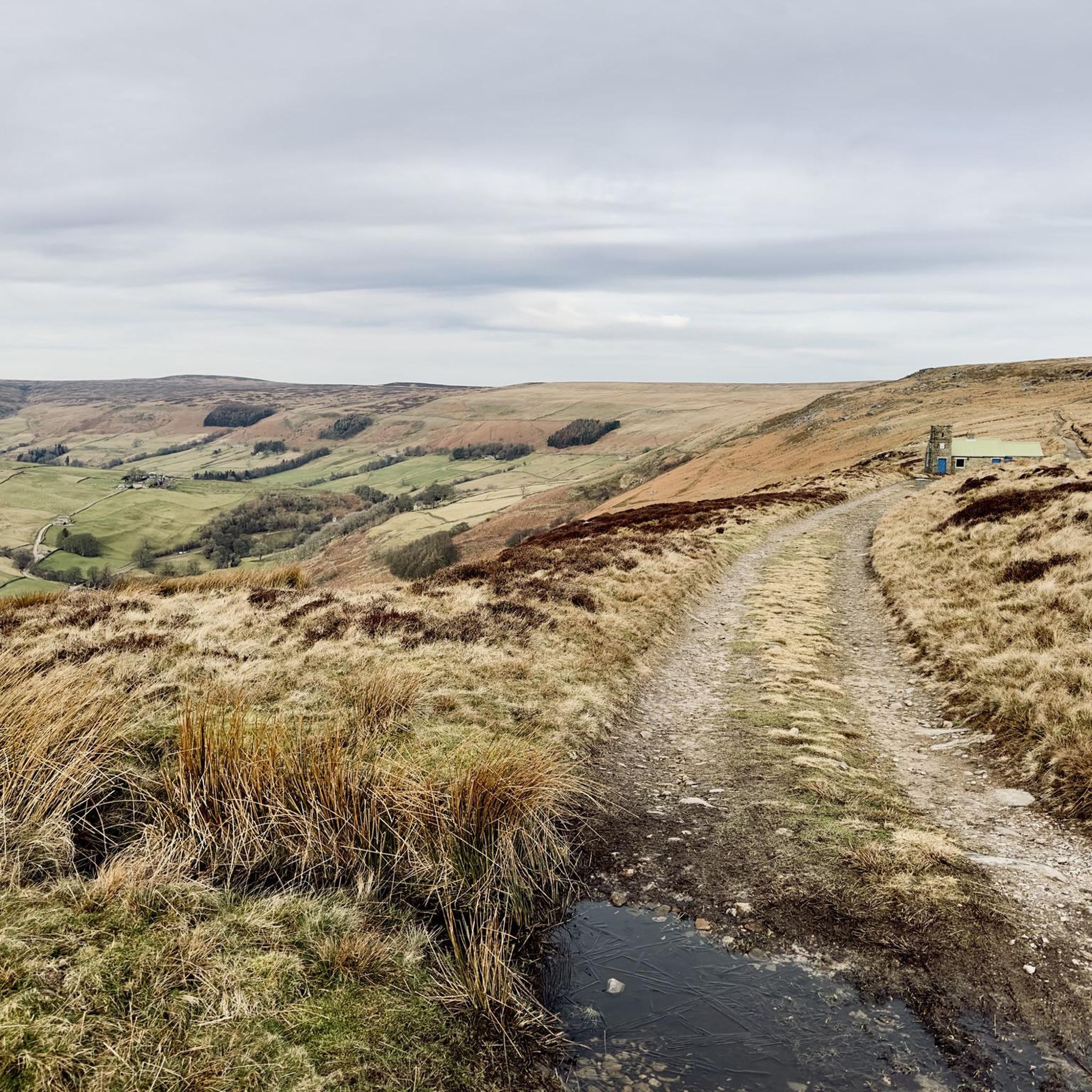
Typical Nidderdale upland with Gritstone moorland, heather plateaux and peat accumulation on poorly drained tops. Described as the remotest and least-inviting summit in the Dales, as Wandering Cloud states, the terrain does not make for easy footing. You will need waterproof footwear (even in summer) and flexible ankles. Easiest way to get up Meugher to experience these views is from the bridleway to the south. There is a barely discernible ATV track leading part way to the summit.
0
0
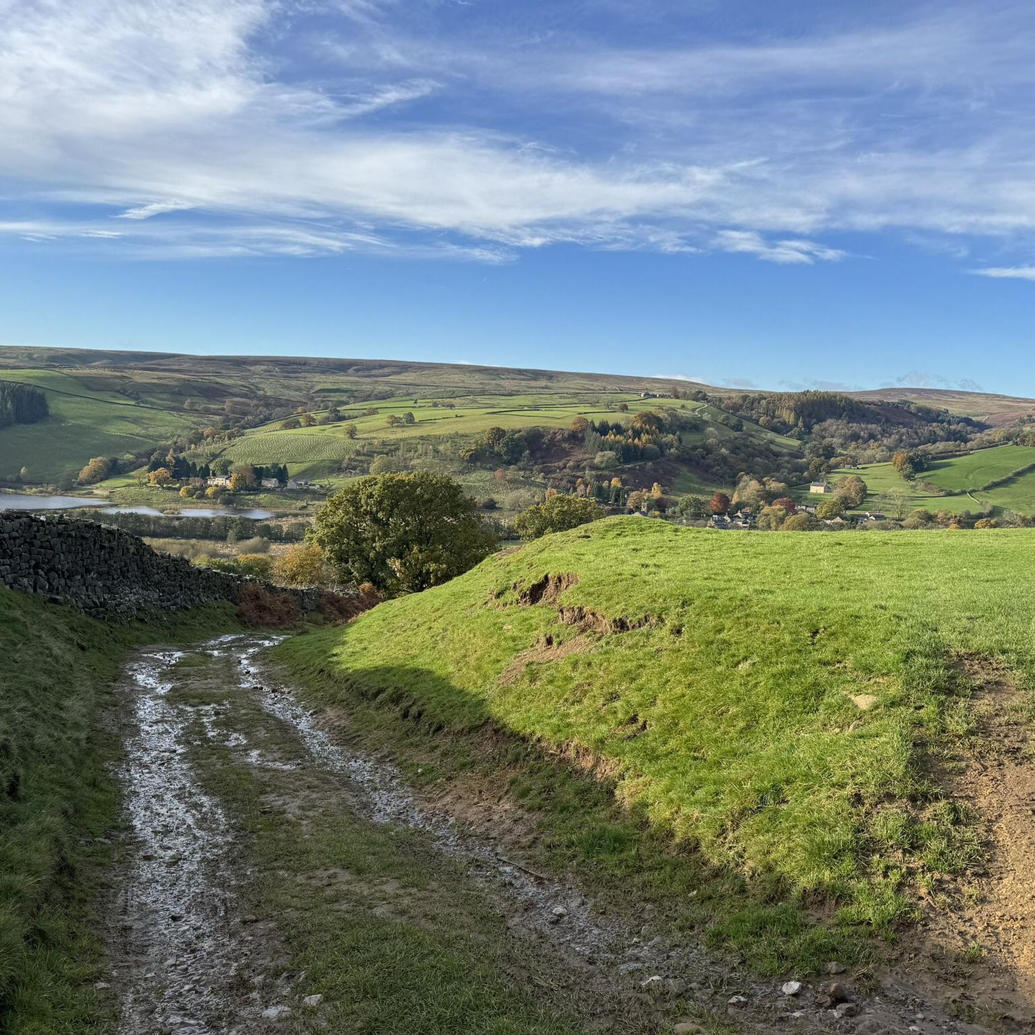
Great panoramic views all around, and on a clear day you can see all the way to the head of Nidderdale and Great Whernside to the northwest.
1
0
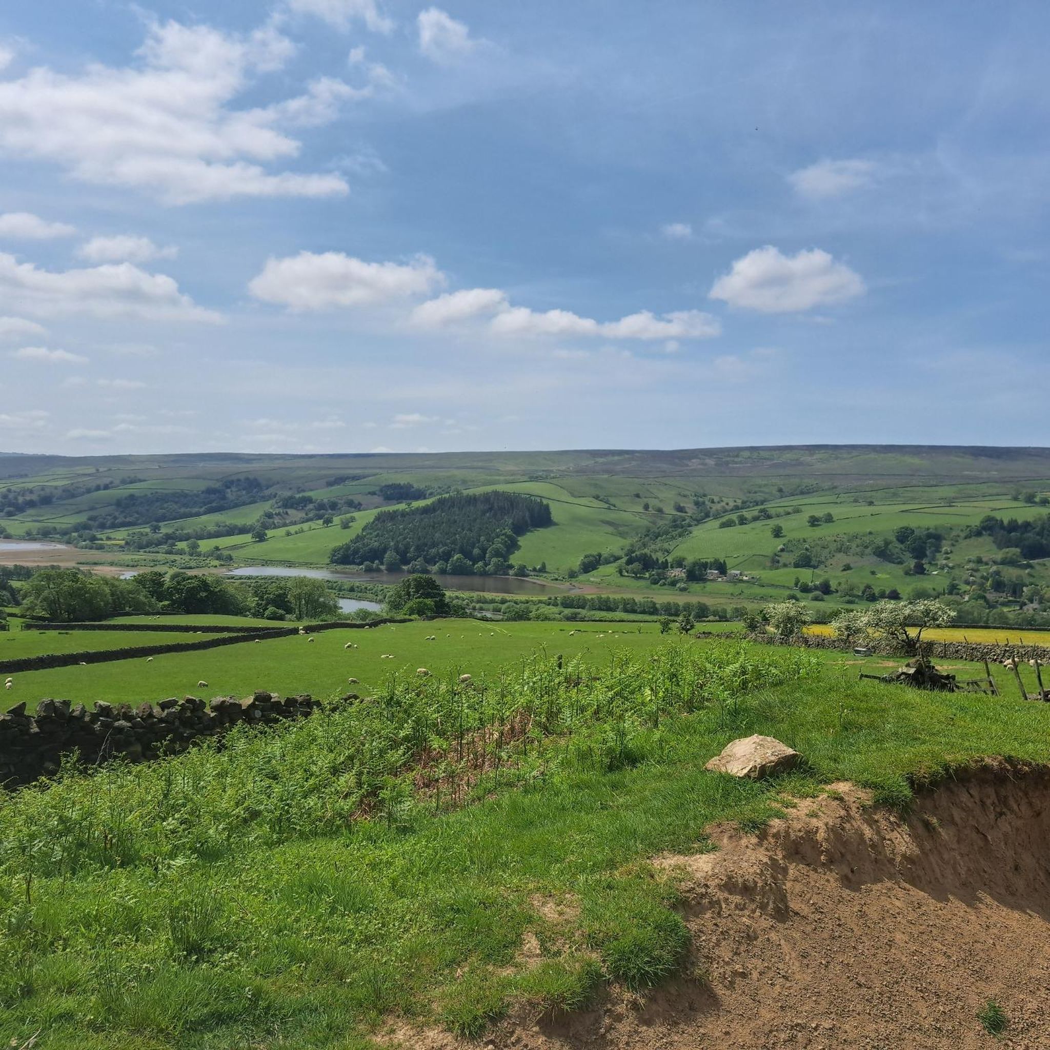
Great views of the moorland to the north, and fairly easy tracks traverse this area on the route around Thruscross Reservoir.
1
0

Riva Hill 245.6m P15.6 (806ft) (Hill ID: 512335) [JNSA s11332] County of Yorkshire Definitive List summit. Nidderdale National Landscape Definitive List summit.
0
0


Great Whernside is a cracking peak to do. The walk up from the picturesque village of Kettlewell is scenic and not that long a journey, about four and a half kilometres each way. Don't expect a jagged peak of any kind, this is a nice rolling hill, topped with the obligatory good old-fashioned trig point. At 704 metres, it is easily a UK-designated Nuttall.
0
0

One of the best mountains in the Dales and so much quieter than the big 3 (Y3P).
1
1
Frequently Asked Questions
What are some of the most popular mountain peaks to visit around Fountains Earth?
The region offers several popular peaks. Great Whernside Summit, standing at 704 meters, is highly regarded for its stunning views and is considered one of the best mountains in the Dales. Other notable peaks include Fountains Fell, a prominent mountain along the Pennine Way, and High Crag Ridge Trig Point, which provides panoramic views extending to the head of Nidderdale.
Are there any family-friendly mountain walks or easier peaks in the Fountains Earth area?
While many peaks offer challenging routes, the broader Fountains Earth area includes accessible options. The landscape around Far Comb Hill, for instance, features fairly easy tracks, especially on routes around Thruscross Reservoir. Additionally, a 5-mile tramper route on Fountains Earth Moor is highlighted for its natural beauty and accessibility, making it suitable for various visitors.
What historical or geological features can I find on the mountain peaks near Fountains Earth?
Fountains Fell has a rich history, with visible remains of coal mining operations from 1790 to 1860, including pits, shafts, and a coke oven building on its summit. Historically, the land was owned by Fountains Abbey in the 13th century and used for sheep grazing. The area's moorland landscapes themselves are significant geological features of the Yorkshire Dales.
What outdoor activities can I do near the mountain peaks around Fountains Earth?
The Fountains Earth area is excellent for various outdoor activities. You can find numerous hiking opportunities, including challenging routes like the 'Meugher and Stean Moor loop' or moderate ones such as the 'Gouthwaite Reservoir and Ramsgill loop'. There are also gravel biking routes available, like the 'Pateley Bridge – Gouthwaite Reservoir loop'. For more details on these activities, explore the Hiking around Fountains Earth and Gravel biking around Fountains Earth guides.
Which mountain peaks offer the best panoramic views in the Fountains Earth region?
For breathtaking vistas, Great Whernside Summit is renowned for its fantastic views. High Crag Ridge Trig Point also provides great panoramic views, extending to the head of Nidderdale and Great Whernside on clear days. The broader Fountains Earth Moor also offers stunning views of the Nid Valley.
Are there any remote or wild mountain peaks for experienced hikers near Fountains Earth?
Yes, for those seeking a remote and wild experience, Meugher Summit Trig Point is an excellent choice. It's a remote summit with faint paths and can be quite boggy, offering a true sense of solitude amidst the moorland, with distant views of Great Whernside.
What is the significance of Fountains Fell in the Yorkshire Dales?
Fountains Fell is a significant mountain in the Yorkshire Dales, standing at 668 meters. It qualifies as a Marilyn, Simm, Hewitt, and Nuttall, making it a notable peak for walkers. It's also a key point along the Pennine Way, marking the first point where the route climbs higher than Kinder Scout for northbound walkers. The eastern slopes are part of the National Trust's Malham Tarn and Moor estate.
Can I find any waterfall hikes near the mountain peaks of Fountains Earth?
Yes, there are waterfall hiking opportunities in the vicinity. You can explore routes like the 'Scar House Reservoir Dam – Nidderdale Way loop' from Lofthouse or Teatherah Wood. These routes offer a chance to experience the natural beauty of the area, including waterfalls. More details can be found in the Waterfall hikes around Fountains Earth guide.
What is the best time to hike the mountains around Fountains Earth?
The Yorkshire Dales, including the Fountains Earth area, are beautiful year-round. However, for the most comfortable hiking conditions and clearer views, late spring to early autumn (May to October) is generally recommended. During these months, the weather is typically milder, and the trails are less likely to be boggy or covered in snow, especially on higher, more exposed peaks.
What do visitors enjoy most about the mountain peaks and surrounding area of Fountains Earth?
Visitors frequently appreciate the stunning panoramic views from summits like Great Whernside Summit and High Crag Ridge Trig Point. The sense of wildness and solitude, particularly on remote peaks like Meugher Summit Trig Point, is also a significant draw. The diverse landscape, from rolling hills to moorland, and the historical elements found on Fountains Fell, contribute to a rich outdoor experience.
Are there other significant peaks nearby that are not directly within Fountains Earth parish?
Yes, several other iconic peaks of the Yorkshire Dales are close by and contribute to the region's appeal. Pen-y-ghent, an iconic peak at 694 meters, is located a short distance from Fountains Fell. Other nearby peaks include Darnbrook Fell and Plover Hill, all offering additional exploration opportunities within the broader Yorkshire Dales landscape.
Most popular routes around Fountains Earth
Most popular attractions around Fountains Earth

Get inspired with the komoot mobile app


Explore more
See even more amazing summits around Fountains Earth with these guides:
