Top 4 Gorges around Blairgowrie And Rattray
Best canyons around Blairgowrie And Rattray are characterized by deep river-carved gorges and dramatic red sandstone formations. The area features the Craighall Gorge, where the River Ericht has cut through impressive geological features. Historical sites like Craighall Castle, situated on a cliff overlooking the gorge, add to the region's cultural significance. These natural landscapes offer opportunities for exploring river valleys and scenic viewpoints.
Best canyons around Blairgowrie And Rattray
- The most popular canyons is Cargill's Leap, a historical site that features a narrow ravine along the River Ericht. It is named after Presbyterian minister Donald Cargill, who is said to have leapt across the ravine to escape soldiers.
- Another must-see spot is View of Reekie Linn Waterfall, a gorge and viewpoint. Visitors can expect a spectacular view of the Reekie Linn waterfall from a path that follows high above the gorge.
- Visitors also love Den of Alyth, a river and natural monument. This scenic woodland features dramatic cliffs of Old Red Sandstone carved by the Alyth Burn, supporting a diverse ecosystem.
- Blairgowrie And Rattray is known for its ravines, gorges, and river valleys. The area offers a variety of deep, narrow geological formations to explore.
- The canyons around Blairgowrie And Rattray are appreciated by the komoot community, with 39 upvotes and 29 photos shared across the highlights.
Last updated: October 3, 2026
Cargill's Leap
Highlight • Historical Site
Tip by

Den of Alyth
Highlight • River
The dynamic stream supports a diverse ecosystem. Wildlife such as dippers, grey herons, tree creepers, woodpeckers, great tits, grey wagtails, and red squirrels thrive in this ever-changing environment, while roe deer sometimes appear along the water's edge. In winter, a rare phenomenon called hair ice can form on decaying wood when specific fungal activity triggers thin strands of ice to emerge.
Historically, the Den was part of the ancient Forest of Alyth, a royal hunting reserve dating back to the 12th century, even frequented by King Robert I. Today, careful woodland management continues to balance native and non-native species, ensuring the preservation of this natural and cultural heritage.
Tip by

Sign up now to discover places like this
Get recommendations on the best single tracks, peaks, & plenty of other exciting outdoor places.
View of Reekie Linn Waterfall
Highlight • Gorge
The path continues along further for a longer walk, however there is no further worth while views of the river.
Tip by

The Highland Boundary Fault
Highlight • Gorge
Tip by
Start today with a free account
Your next adventure awaits.
Popular around Blairgowrie And Rattray
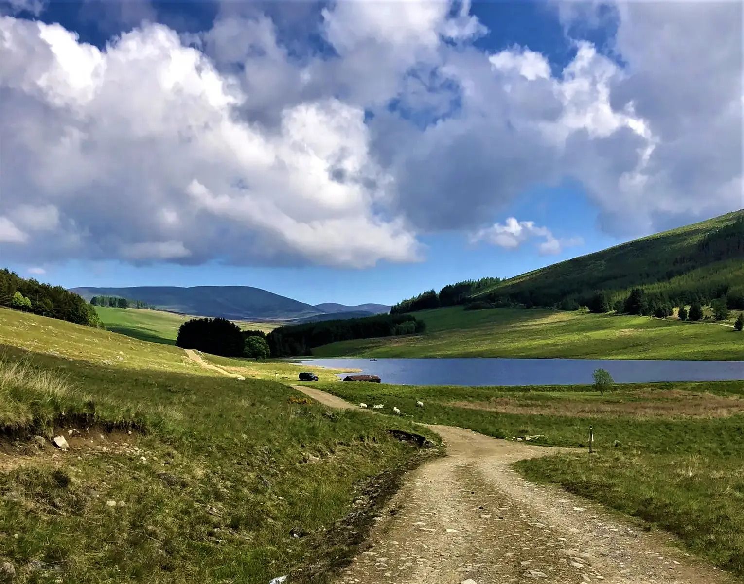
Cateran Trail — Hike old thieves' roads in a forgotten part of Scotland
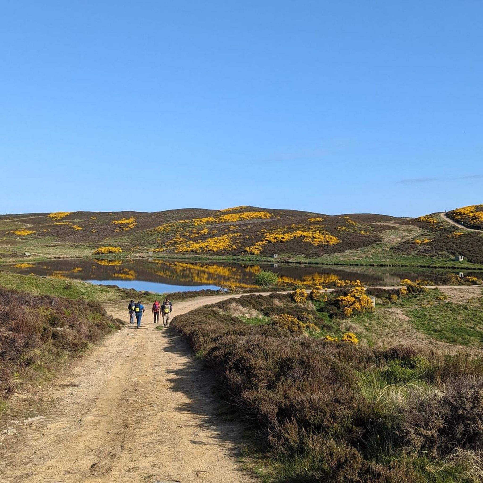
Road Cycling Routes around Blairgowrie And Rattray
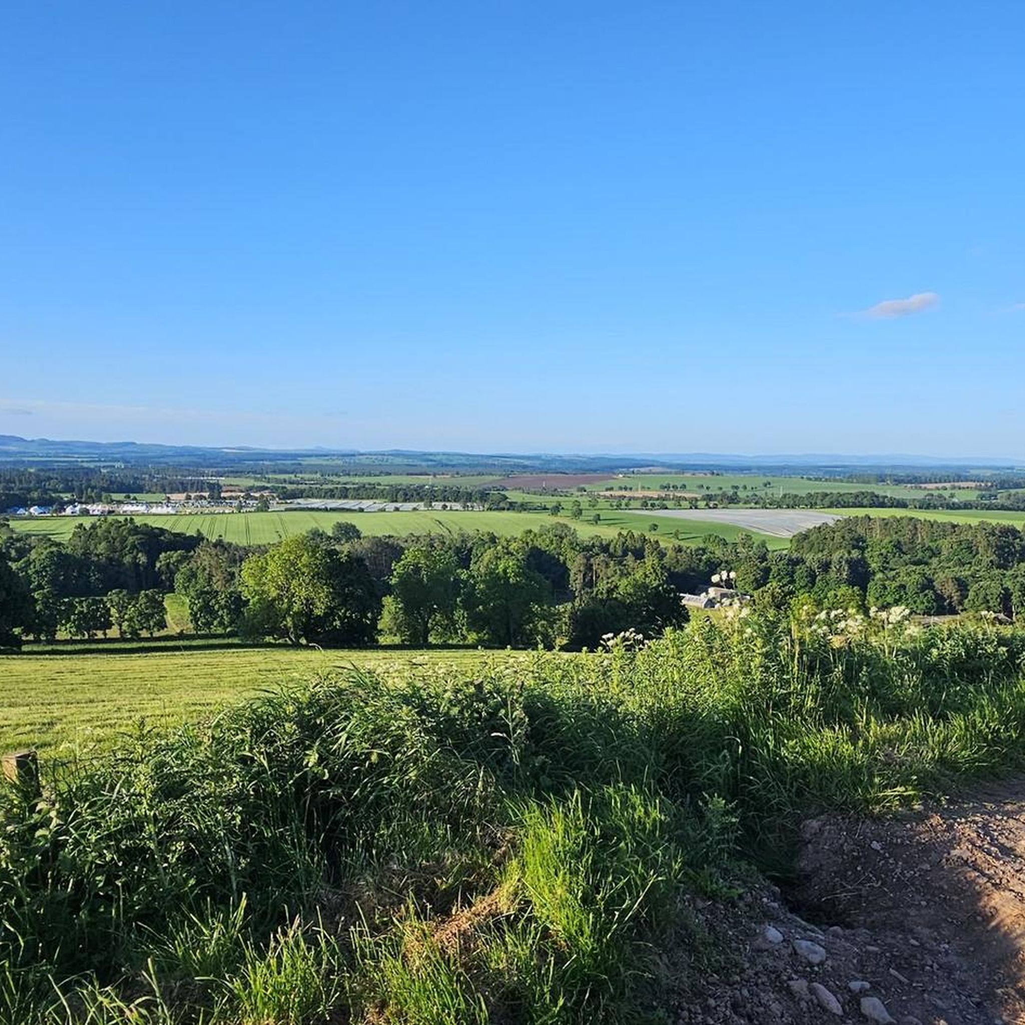
Hiking around Blairgowrie And Rattray
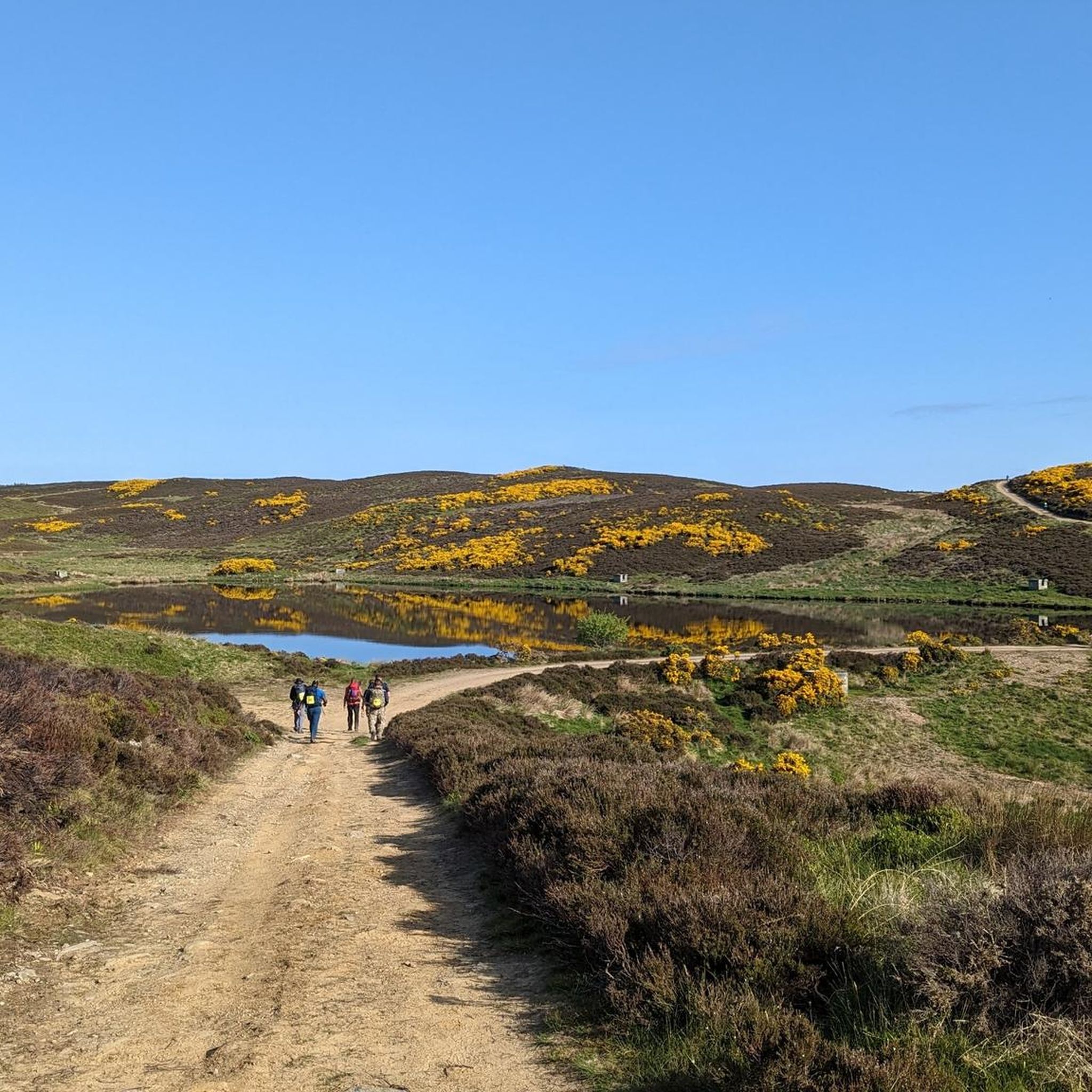
Cycling around Blairgowrie And Rattray
Running Trails around Blairgowrie And Rattray
MTB Trails around Blairgowrie And Rattray
Gravel biking around Blairgowrie And Rattray
Other adventures around Blairgowrie And Rattray

Tips from the Community


The Highland Boundary Fault is a major geological feature stretching from Arran in the west to Stonehaven in the east, passing through Blairgowrie, Alyth, and Kirriemuir. Formed 400 million years ago during the collision of ancient continents, it divides Scotland into two distinct geological regions: the hard, metamorphic rocks of the Highlands to the north and the softer sedimentary rocks of Strathmore to the south. A striking feature of the fault near Alyth is Reekie Linn, a waterfall created where volcanic rocks meet sandstone, forming a 36-meter deep plunge pool and dramatic gorge. Historically, the fault also served as a cultural boundary, with the feudal system thriving south of the fault, while the rugged northern landscape fostered the clan system. This division also marked a linguistic shift from Gaelic to English, influencing Scotland’s social and cultural development.
0
0
The Den o’ Alyth is a scenic woodland where the Alyth Burn has carved dramatic cliffs of Old Red Sandstone - a rock formed 400 million years ago that was later shaped by glacial forces and erosion. The landscape, marked by steep slopes and boulder-strewn beds, reflects a powerful geological past. The dynamic stream supports a diverse ecosystem. Wildlife such as dippers, grey herons, tree creepers, woodpeckers, great tits, grey wagtails, and red squirrels thrive in this ever-changing environment, while roe deer sometimes appear along the water's edge. In winter, a rare phenomenon called hair ice can form on decaying wood when specific fungal activity triggers thin strands of ice to emerge. Historically, the Den was part of the ancient Forest of Alyth, a royal hunting reserve dating back to the 12th century, even frequented by King Robert I. Today, careful woodland management continues to balance native and non-native species, ensuring the preservation of this natural and cultural heritage.
0
0

A good viewpoint from above, fairly obvious as it is signposted and there is a wooden platform. The trees are over growing so to really see the Linn, it is better to follow some of the rough paths along the riverside below.
0
0

Now this is a waterfall that is actually worth going to. Beautiful woodland trail high above the waterfall and tge river. Really worth a stop!
0
0

No, don't be daft and try to cross the river here. There's a footbridge just upstream and a road bridge down stream.
0
0
Frequently Asked Questions
What are the most notable geological features in the canyons around Blairgowrie and Rattray?
The canyons in this area are primarily characterized by deep river-carved gorges and dramatic red sandstone formations. The River Ericht, for instance, has sculpted the impressive Craighall Gorge through these ancient red sandstone cliffs. You can also observe the geological impact of the Highland Boundary Fault, a significant feature that divides Scotland's geological regions and is visible near sites like Reekie Linn.
Are there any historical sites associated with the canyons in Blairgowrie and Rattray?
Yes, the region is rich in history. Cargill's Leap is a historical site named after Presbyterian minister Donald Cargill, who famously leapt across the ravine to escape soldiers. Overlooking the Craighall Gorge, you'll also find the historic Craighall Castle, ancestral home of the Clan Rattray, which adds a significant historical dimension to the landscape.
What kind of wildlife can I expect to see in the Den of Alyth?
The Den of Alyth supports a diverse ecosystem. Visitors might spot dippers, grey herons, tree creepers, woodpeckers, great tits, grey wagtails, and red squirrels. Roe deer are also occasionally seen along the water's edge. In winter, a rare phenomenon called hair ice can form on decaying wood.
Where can I find a spectacular waterfall view in the area?
For a spectacular waterfall view, head to the View of Reekie Linn Waterfall. A short path from the car park leads to a viewpoint offering impressive sights of the Reekie Linn waterfall plunging into a gorge. Care is needed along the path due to the long drop.
What outdoor activities can I do near these canyons?
Beyond exploring the gorges, the Blairgowrie and Rattray area offers a variety of outdoor activities. You can find excellent MTB trails, gravel biking routes, and road cycling routes. Many of these routes pass by or near the region's natural features, offering scenic views.
Are there any family-friendly walks or trails around the canyons?
While specific trails are not explicitly marked as 'family-friendly' in the data, the Craighall Gorge Trail is described as a scenic walk that follows an old road, passing mill ruins and leading to a viewpoint. Many walks in the area, especially those leading to viewpoints like Reekie Linn, can be enjoyed by families, though some paths may require care due to drops into gorges.
What is the significance of the Highland Boundary Fault in this region?
The Highland Boundary Fault is a major geological feature that formed 400 million years ago. It divides Scotland into two distinct geological regions: the hard, metamorphic rocks of the Highlands to the north and the softer sedimentary rocks of Strathmore to the south. It also historically served as a cultural and linguistic boundary, influencing Scotland's development.
What do visitors enjoy most about the canyons around Blairgowrie and Rattray?
Visitors frequently appreciate the dramatic natural beauty, particularly the deep gorges and impressive red sandstone formations. The historical significance of sites like Cargill's Leap and the scenic views from places like Reekie Linn Waterfall are highly rated. The diverse ecosystems, such as those found in the Den of Alyth, also add to the appeal.
Is there a specific trail that explores the Craighall Gorge?
Yes, the Craighall Gorge Trail is a notable path that allows you to explore this impressive natural feature. It follows an old, abandoned road, passing by old mill ruins along the River Ericht and through open farmland, eventually leading to a scenic viewpoint overlooking the gorge.
Can I find information about Blairgowrie and Rattray's local area beyond the canyons?
Yes, for broader information about the Blairgowrie and Rattray area, including local attractions and services, you can visit the Visit Cateran Country website. This resource provides details on the wider region.
What is the best time to visit the canyons and gorges in Blairgowrie and Rattray?
The best time to visit is generally during the spring, summer, and early autumn months (April to October) when the weather is milder and trails are more accessible. Visiting after heavy rainfall can enhance the experience of waterfalls like Reekie Linn, but paths may be slippery, so caution is advised.
Are there any unique local legends or lore associated with the canyons?
The Craighall Gorge Trail is sometimes referred to as one of the 'most mysterious trails in all of Perthshire.' Local lore includes beliefs about 'Elves' homes,' marked by small doors carved into tree bark, adding an enchanting and unique element to the visit.
Most popular routes around Blairgowrie And Rattray
Most popular attractions around Blairgowrie And Rattray

Get inspired with the komoot mobile app


Explore more
Already discovered everything in this region? See additional gorges around Blairgowrie And Rattray for your next adventure:
