The best running trails in Machimoodus State Park
35
runners
2
runs
Jogging in Machimoodus State Park offers diverse landscapes across its 300 acres, featuring uplands, woodlands, and meadows. The park provides access to tranquil river and cove waterfronts along the Salmon River. Trails often follow old farm roads, presenting varied terrain suitable for different fitness levels without excessive elevation changes. Mount Tom, the park's highest point at 314 feet, offers scenic viewpoints of the Connecticut, Salmon, and Moodus Rivers.
Best jogging routes in Machimoodus State Park
- The most popular jogging route…
Last updated: July 5, 2026
2
runners
11.9km
01:19
190m
190m
Moderate run. Good fitness required. Mostly paved surfaces. Suitable for all skill levels.
8
runners
13.4km
01:34
80m
80m
Moderate run. Good fitness required. Mostly paved surfaces. Suitable for all skill levels.

Sign up for free
25
runners
18.6km
02:16
170m
170m
Hard run. Very good fitness required. Mostly paved surfaces. Suitable for all skill levels.
Our route recommendations are based on thousands of hikes, rides, and runs completed by other people on komoot.
Start today with a free account
Your next adventure awaits.
Login or Signup



Tips from the Community

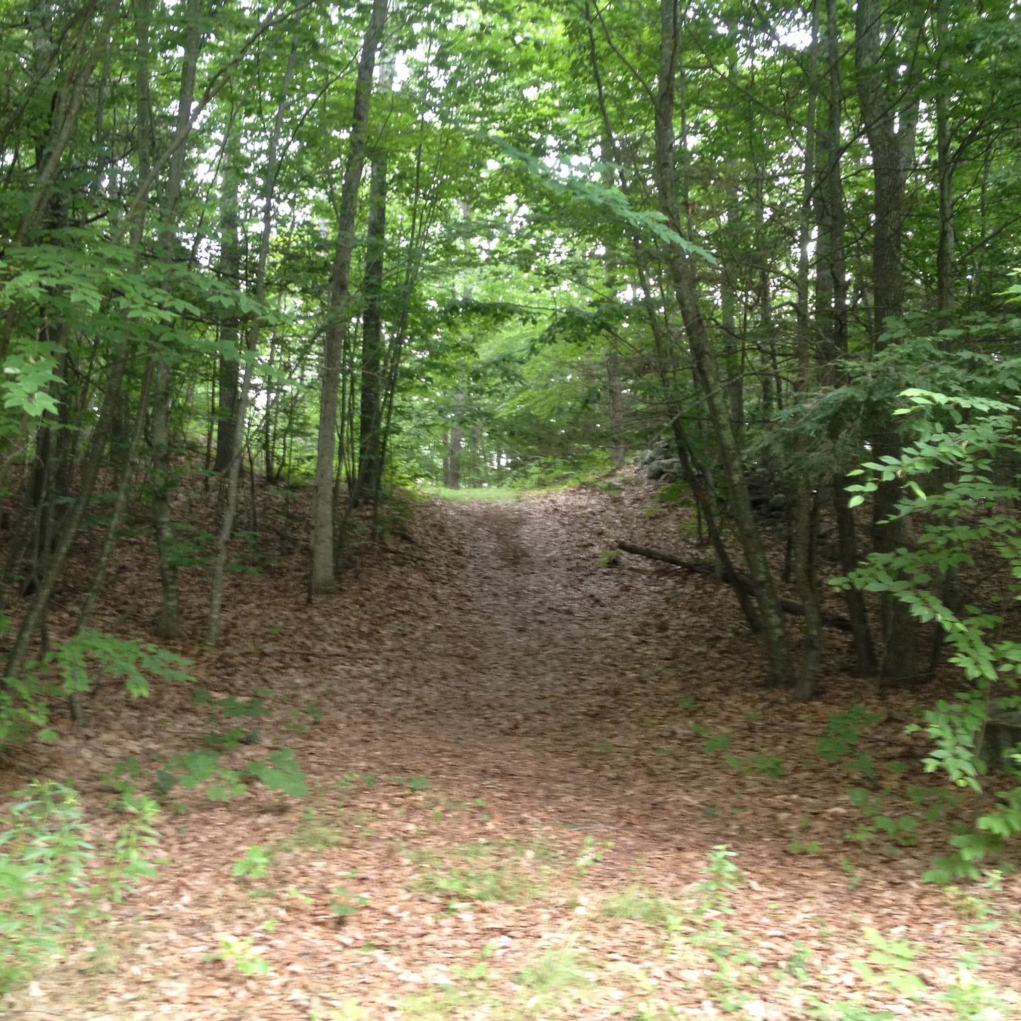
The Air Line State Park Trail in Connecticut is a rail trail and linear state park that is a part of the East Coast Greenway. There are several sections including: South (25 miles from East Hampton to Windham), North (21 miles from Windham to Putnam), Thompson addition (6.6 miles from Thompson to the Massachusetts state line), and an additional 3.6-mile spur to Colchester. Recognized as a national recreation trail by the U.S. Department of the Interior in 2002, it offers scenic routes for hiking and biking. This southern section of the trail near East Hampton is a gravel crushed trail that is great to ride on its own, or to access singeltrack in the nearby Salmon River Forest.
0
0

The green space to the north of this trail is the grounds of the Skungamaug Fish and Game Club, a group devoted to hunting and fishing.
0
0

Air Line State Park Trail is a gravel crushed trail that runs on an old rail bed. It's a great trail to ride on its own or to access singeltrack in the Salmon River Forest.
0
0

Completely gravel but mostly compacted. Loose rocks in some areas.
2
0
If you look to the sides of the path, you can see some of the beams and rails of the buried bridge.
1
0
Frequently Asked Questions
What kind of terrain can I expect on running trails in Machimoodus State Park?
Machimoodus State Park offers a diverse landscape for runners, including uplands, lush woodlands, and vibrant wildflower meadows. Many trails follow old farm roads, providing generally smooth dirt or gravel paths. You'll also find tranquil river and cove waterfronts along the Salmon River, adding variety to your run.
Are there running routes suitable for beginners or those looking for an easier jog?
Yes, the park's trails are generally considered easy to moderate, with varied terrain but without excessive elevation changes, making them suitable for a range of fitness levels. While specific 'easy' routes aren't highlighted, the overall network is accessible for many runners.
Can I find routes with scenic viewpoints in Machimoodus State Park?
Absolutely! The park's highest point, Mount Tom, stands at 314 feet and offers two lookout points. From these vantage points, you can enjoy picturesque vistas of the Connecticut, Salmon, and Moodus Rivers, as well as the Salmon River Cove. These make for inspiring breaks during your run.
Are there any loop running routes available in the park?
Yes, Machimoodus State Park features several excellent loop routes. For example, the Former Lyman Viaduct – Bull Hill loop from Salmon River State Forest is a moderate 7.4-mile trail that takes you through varied woodlands. Another popular option is the Skungamaug Fish and Game Club loop from Gateway Preserve, an 8.4-mile path winding through serene natural settings.
What is the best season to go running in Machimoodus State Park?
Machimoodus State Park is beautiful year-round. The woodlands and meadows are particularly vibrant in spring and summer with wildflowers, while autumn offers stunning foliage. The wide dirt and gravel paths are generally stable, making them suitable for running in most seasons, though conditions can vary with weather.
Are dogs allowed on the running trails in Machimoodus State Park?
Yes, the trails in Machimoodus State Park are generally dog-friendly. Many paths are wide dirt or gravel, which are also horse-friendly, indicating a good surface for dogs. Always ensure your dog is on a leash and you clean up after them to maintain the park's natural beauty.
What kind of natural features can I see while running in the park?
Runners can enjoy a variety of natural features, including lush woodlands, open wildflower meadows, and tranquil river and cove fronts along the Salmon River. The park also features a couple of scenic ponds near the entrance, which attract various bird species, adding to the natural beauty.
How many running routes are documented for Machimoodus State Park on komoot?
Komoot features several running routes in Machimoodus State Park, with a total of 4 routes documented in this guide. These routes showcase the park's diverse landscapes and cater to different preferences.
Is there a longer, more challenging running route in the park?
For those seeking a longer and more challenging run, consider the Former Lyman Viaduct – Air Line State Park Trail loop from East Hampton. This route spans 12.9 miles (20.7 km) and leads through diverse landscapes, typically taking around 2 hours and 30 minutes to complete.
What do other runners enjoy most about jogging in Machimoodus State Park?
Runners frequently praise the park's quiet and beautiful atmosphere, with serene paths that offer ample opportunities to connect with nature. The diverse landscapes, from woodlands and meadows to riverfronts and scenic viewpoints like Mount Tom, are often highlighted as key attractions for an enjoyable running experience.
Are the running trails suitable for families?
Yes, many of the trails in Machimoodus State Park are suitable for families. The generally easy to moderate terrain and well-maintained paths make for a pleasant experience. The diverse scenery, including woodlands, meadows, and ponds, offers engaging sights for all ages.
Where can I park when visiting Machimoodus State Park for a run?
Machimoodus State Park typically offers designated parking areas for visitors. It's advisable to check the park's official website or local signage upon arrival for specific parking locations and any regulations.
Most popular routes in Machimoodus State Park

Get inspired with the komoot mobile app


Explore more
Browse the best Running Trails & Routes in other regions.
