The best road cycling routes in Machimoodus State Park
49
riders
30
rides
Road cycling routes in Machimoodus State Park navigate the surrounding region, which features a diverse landscape of uplands, woodlands, and riverfronts. While the park's internal trails are primarily unpaved, the area offers numerous paved routes suitable for road cycling. These routes often include views of the Connecticut, Salmon, and Moodus Rivers, as well as various lakes and ponds. The terrain includes gentle inclines and descents, with Mount Tom, the highest point, reaching 314 feet (95.7 meters).
Best road cycling routes…
Last updated: June 29, 2026
4
riders
41.3km
01:56
500m
500m
Moderate road ride. Good fitness required. Mostly well-paved surfaces and easy to ride.
4
riders
Moderate road ride. Good fitness required. Some segments of this route may be unpaved and difficult to ride.

Sign up for free
4
riders
44.6km
02:17
620m
620m
Moderate road ride. Good fitness required. Some segments of this route may be unpaved and difficult to ride.
3
riders
47.1km
02:21
610m
610m
Moderate road ride. Good fitness required. Mostly well-paved surfaces and easy to ride.
2
riders
Moderate road ride. Good fitness required. Mostly well-paved surfaces and easy to ride.
Get access to more routes and recommendations from other explorers.
Sign up for free
Already have an account?
Our route recommendations are based on thousands of hikes, rides, and runs completed by other people on komoot.
Start today with a free account
Your next adventure awaits.
Login or Signup
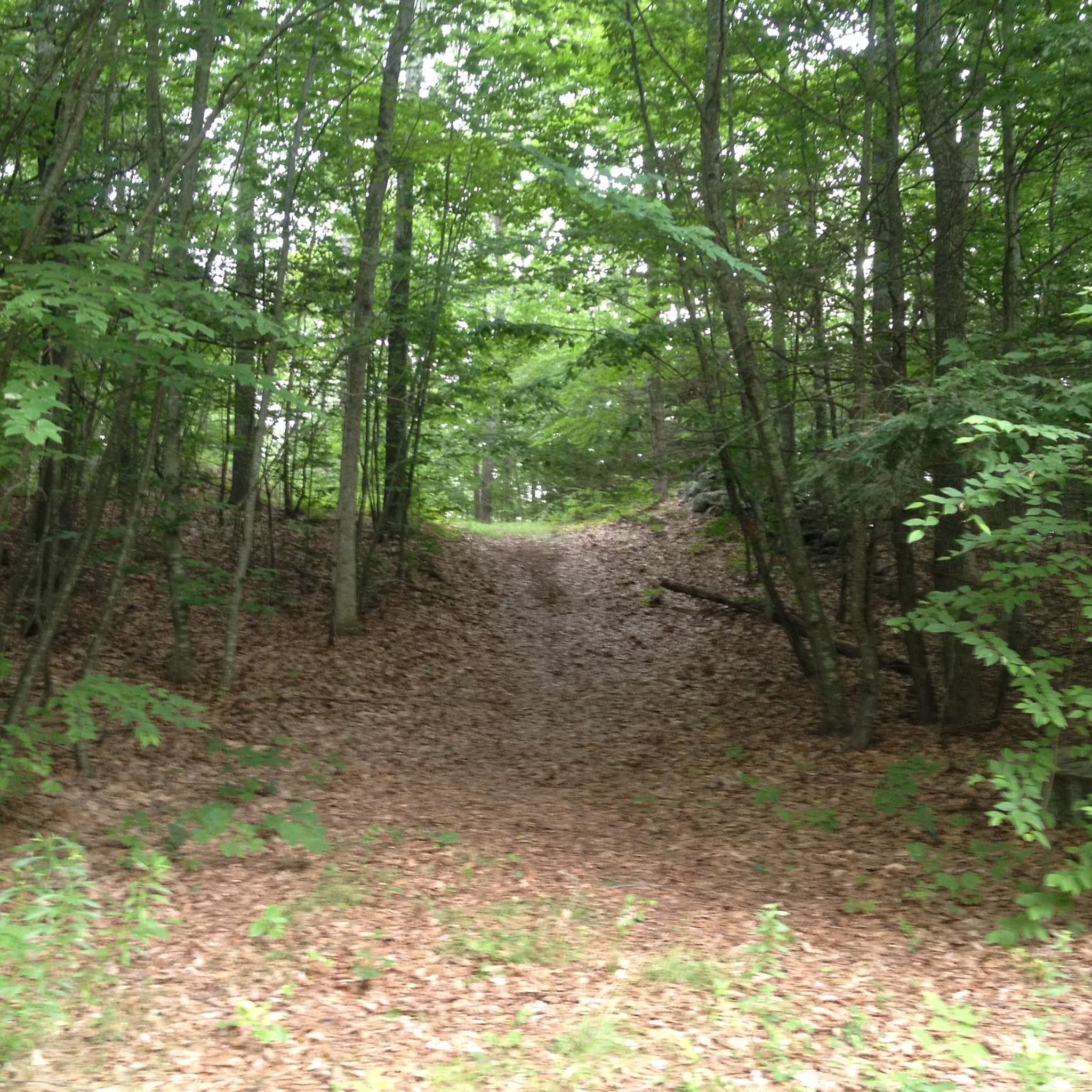

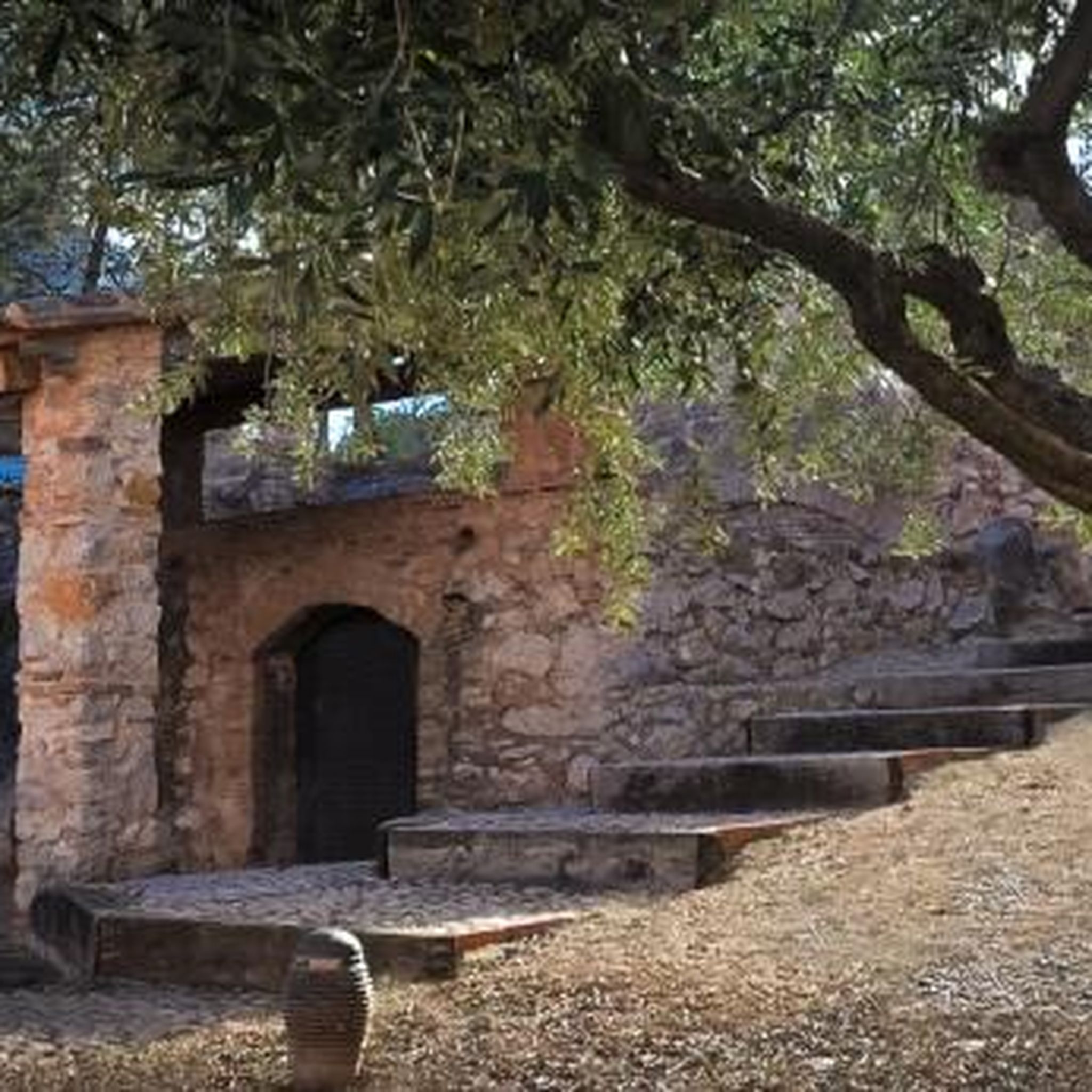
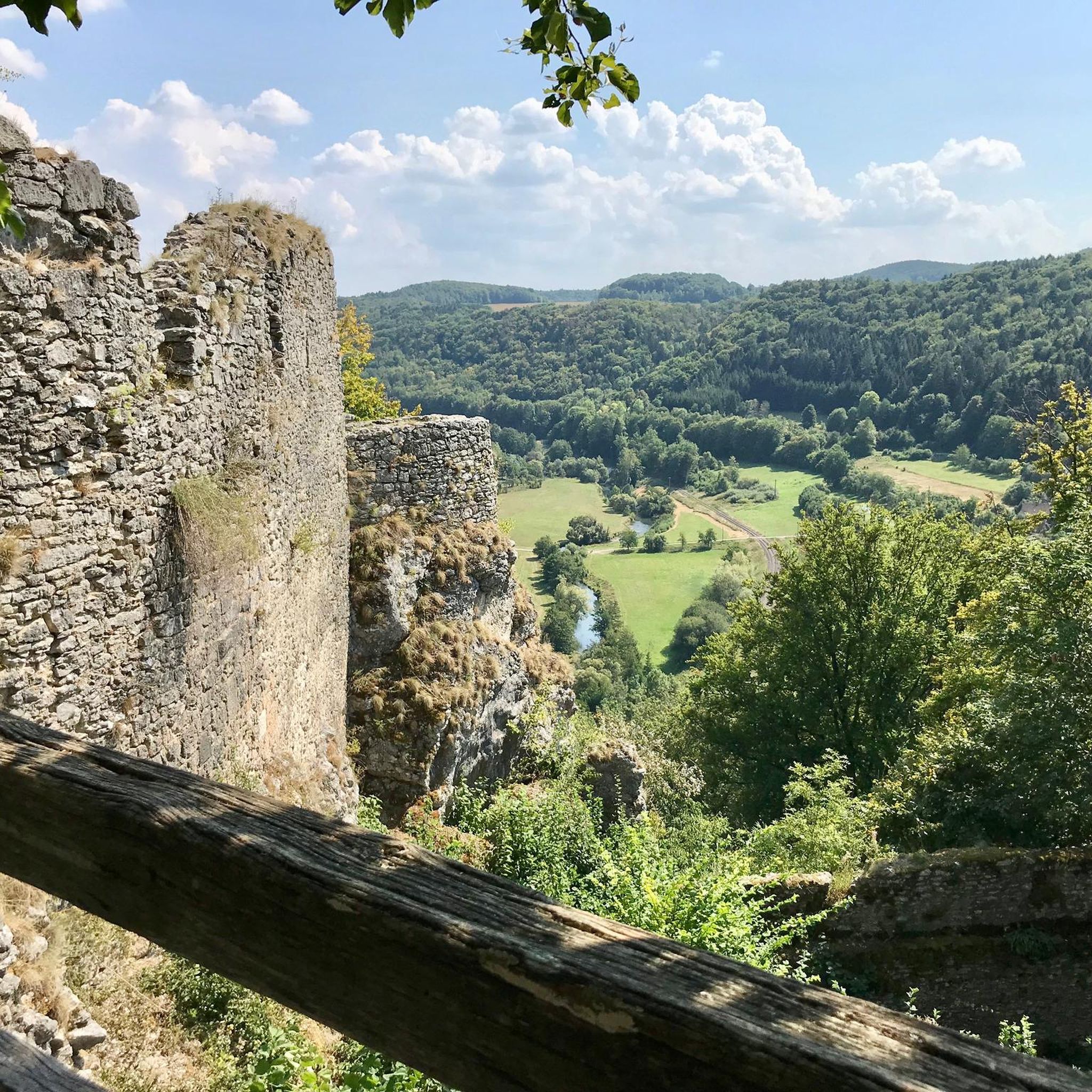

Tips from the Community

Snell-Talbot Preserve is a small nature preserve on the E Haddam Colchester Turnpike in East Haddam, Connecticut. There are a few nice trails through woodlands and open fields. Although you cannot ride on these the preserve, it's still a pretty spot to ride past as you explore East Haddam.
0
0

Beautiful Cedar Lake is a local recreational area for the residents of Chester. Two springs feed into this 80-acre water body. Its tree-lined shore and tranquil setting make it a beautiful vista when cycling past on W. Main Street.
0
0

Jennings Pond is a pond created by a small dam on the eastern side of the pond which sits between two private properties. The pond is surrounded by trees and is best visible year round from this spot on Spring Road. The pond supports much wildlife and is a bustling springtime location for many birds and insects.
0
0

There is a cute waterfall right next to the road where Pattaconk Brook flows through Town Park. You get a particularly good view if you are travelling south-east to north-west.
0
0

Devil's Hopyard State Park is an 860 acre park. It is largely wooded and has several places to sit in the shade and enjoy a picnic.
0
0
Great, quiet road. There is little traffic and a good amount of shade.
0
0

Good power up for a long ride. https://salemvalleyfarmsicecream.com
0
0
Frequently Asked Questions
What kind of terrain can I expect on road cycling routes around Machimoodus State Park?
The road cycling routes in the Machimoodus State Park area primarily feature paved surfaces, navigating a diverse landscape of uplands, woodlands, and riverfronts. You'll encounter gentle inclines and descents, with the highest point, Mount Tom, reaching 314 feet (95.7 meters) above sea level, offering scenic vistas.
How many road cycling routes are available in the Machimoodus State Park region?
There are over 30 road cycling routes available in the Machimoodus State Park region, catering to various preferences. Most of these are moderate in difficulty, with a few more challenging options for experienced cyclists.
Are there any family-friendly road cycling routes near Machimoodus State Park?
While the park's internal trails are more suited for mountain or gravel biking, the surrounding region offers paved routes that can be enjoyed by families. Look for routes with less elevation gain and traffic, often found on quieter roads connecting towns like Moodus and East Hampton.
What are some notable landmarks or scenic viewpoints along the road cycling routes?
Cyclists can enjoy picturesque views from Mount Tom, overlooking the Connecticut, Salmon, and Moodus Rivers. Routes also offer glimpses of Cedar Lake, Johnson Millpond, and Pattaconk Lake. A popular route, Devil's Hopyard State Park loop from Moodus, passes by the historic Devil's Hopyard Covered Bridge.
What is the best time of year to go road cycling in the Machimoodus State Park area?
The region around Machimoodus State Park is beautiful throughout all four seasons. Spring and fall offer pleasant temperatures and vibrant foliage, while summer provides longer daylight hours. Birdwatching is particularly good in all seasons, with migratory birds present at different times of the year.
Are there any circular road cycling routes available?
Yes, many of the road cycling routes in the area are designed as loops, allowing you to start and end at the same point. For example, the Snell-Talbot Preserve loop from Brainard Homestead State Park is a 27.7-mile circular route through woodlands and open areas.
What is the typical difficulty level for road cycling routes in this region?
Most road cycling routes in the Machimoodus State Park region are rated as moderate, offering a good balance of challenge and enjoyment. There are also a few routes classified as difficult for those seeking a more strenuous ride, but no easy routes are specifically designated for road cycling.
Where can I park my car when going road cycling near Machimoodus State Park?
Parking is generally available at various trailheads and public access points in towns surrounding Machimoodus State Park, such as Moodus and East Hampton. Many routes, like the Snell-Talbot Preserve – Nice quiet road loop from Brainard Homestead State Park, start from locations with designated parking.
Are there any cafes or places to eat near the road cycling routes?
The towns surrounding Machimoodus State Park, such as Moodus and East Hampton, offer various cafes, pubs, and eateries where you can refuel before or after your ride. Some routes, like the Salem Valley Farms Ice Cream – Nice quiet road loop from Moodus, even pass by specific establishments.
What kind of natural features can I observe while road cycling in the area?
The region is rich in natural beauty, offering views of river and cove waterfronts, woodlands, and vibrant wildflower meadows. Keep an eye out for diverse birdlife, including sparrows, warblers, and various waterfowl, especially near the Connecticut, Salmon, and Moodus Rivers.
What do other cyclists enjoy about road cycling in Machimoodus State Park?
Over 50 road cyclists have explored the Machimoodus State Park area using komoot. They frequently praise the scenic New England charm, the tranquil experience on quiet roads, and the diverse landscapes that include riverine vistas and woodlands.
Are there any routes that feature waterfalls?
Yes, the Cedar Lake – Pattaconk Brook Waterfall loop from Brainard Homestead State Park is a moderate 20.9-mile route that includes the scenic Pattaconk Brook Waterfall, offering a refreshing natural highlight during your ride.
Most popular routes in Machimoodus State Park

Get inspired with the komoot mobile app


Explore more
Browse the best Road cycling routes in other regions.
