Arapaho And Roosevelt National Forests
Arapaho And Roosevelt National Forests
Top 16 Mountain Passes in Arapaho And Roosevelt National Forests
Mountain passes in Arapaho And Roosevelt National Forests span over 1.5 million acres in northern Colorado, offering diverse features for exploration. This region provides access to high alpine environments, with several notable passes located directly within or bordering the National Forests. The passes offer opportunities for driving, hiking, and experiencing the Rocky Mountains' natural landscape.
Best mountain passes in Arapaho And Roosevelt National Forests
- The most popular mountain passes is Berthoud Pass, a mountain pass that sits at an…
Last updated: July 10, 2026
Berthoud Pass
Highlight • Mountain Pass
Tip by

Mestaa'Ėhehe Pass Summit
Highlight • Mountain Pass
Tip by

Sign up now to discover places like this
Get recommendations on the best single tracks, peaks, & plenty of other exciting outdoor places.
Sign up for free
Rollins Pass
Highlight • Mountain Pass
Tip by

Juniper Pass
Highlight • Mountain Pass
Tip by

Loveland Pass climb from Keystone
Highlight (Segment) • Climb
Tip by

Sign up for free to discover even more mountain passes in Arapaho And Roosevelt National Forests.
Sign up for free
Already have an account?
Start today with a free account
Your next adventure awaits.
Login or Signup
Popular around Arapaho And Roosevelt National Forests
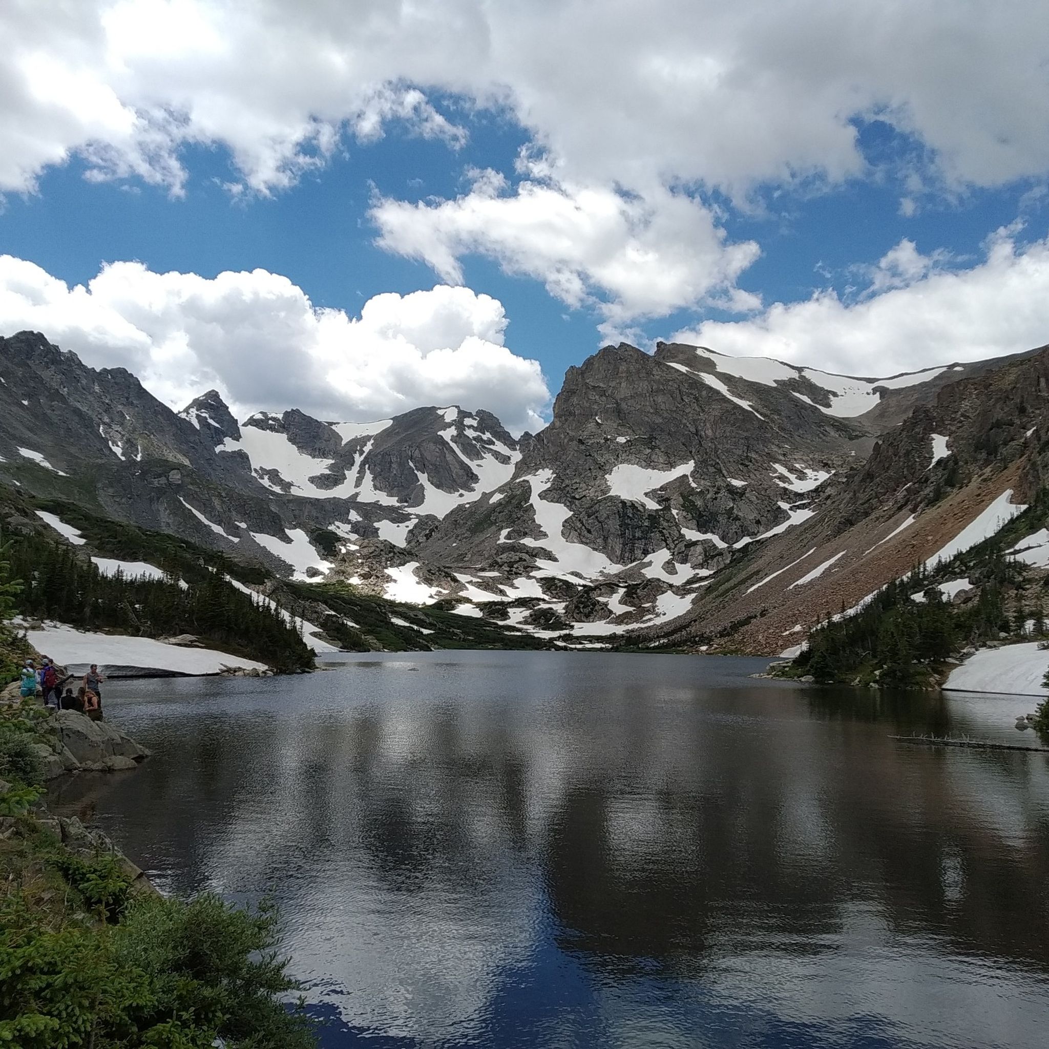
Hiking in Arapaho And Roosevelt National Forests
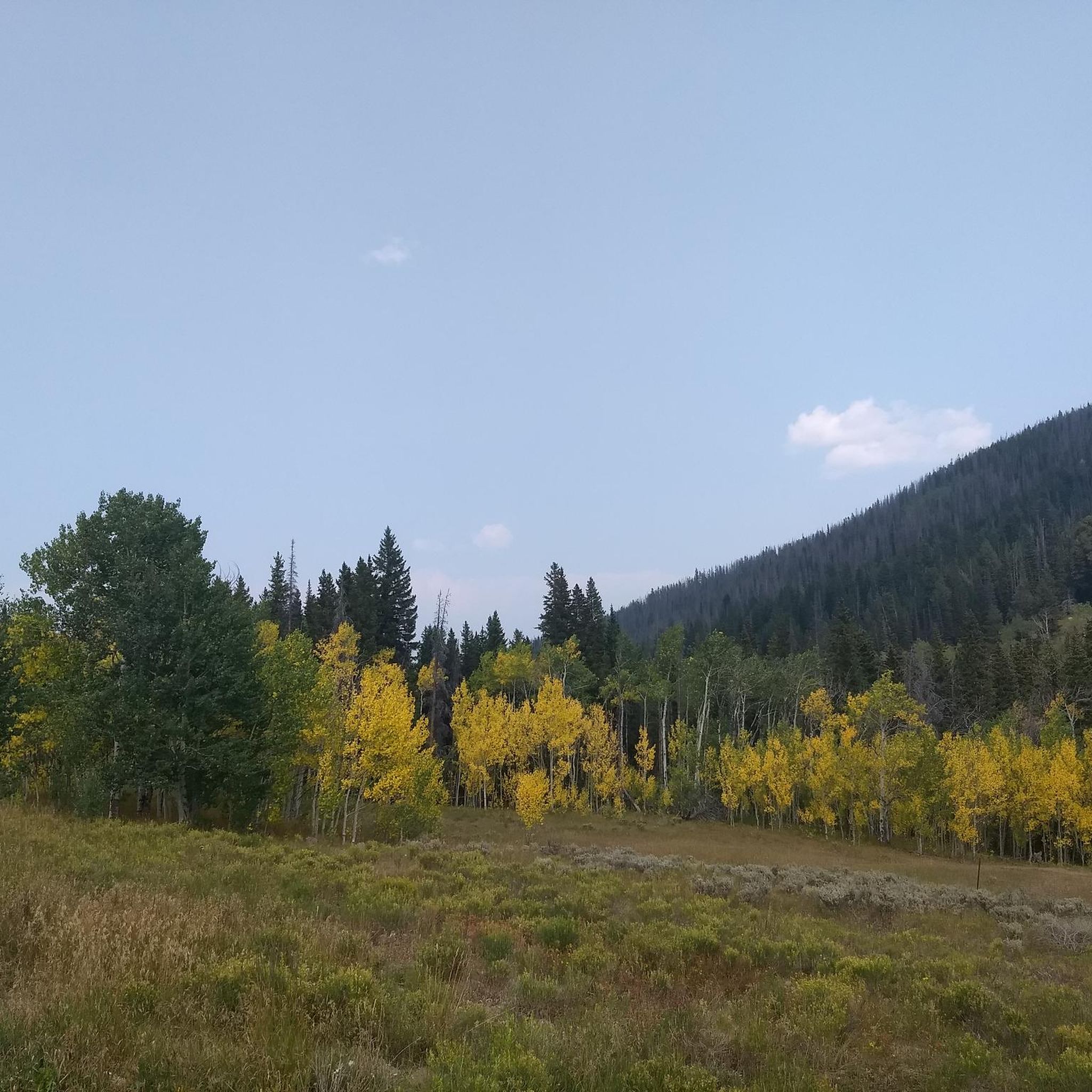
MTB Trails in Arapaho And Roosevelt National Forests
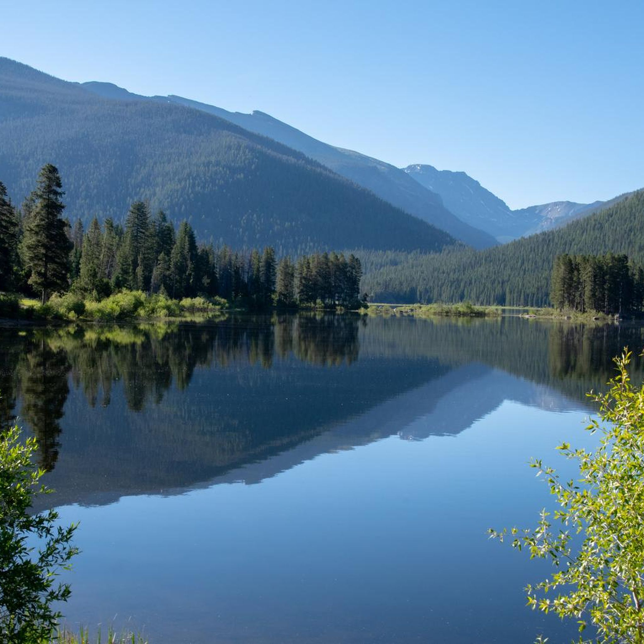
Running Trails in Arapaho And Roosevelt National Forests
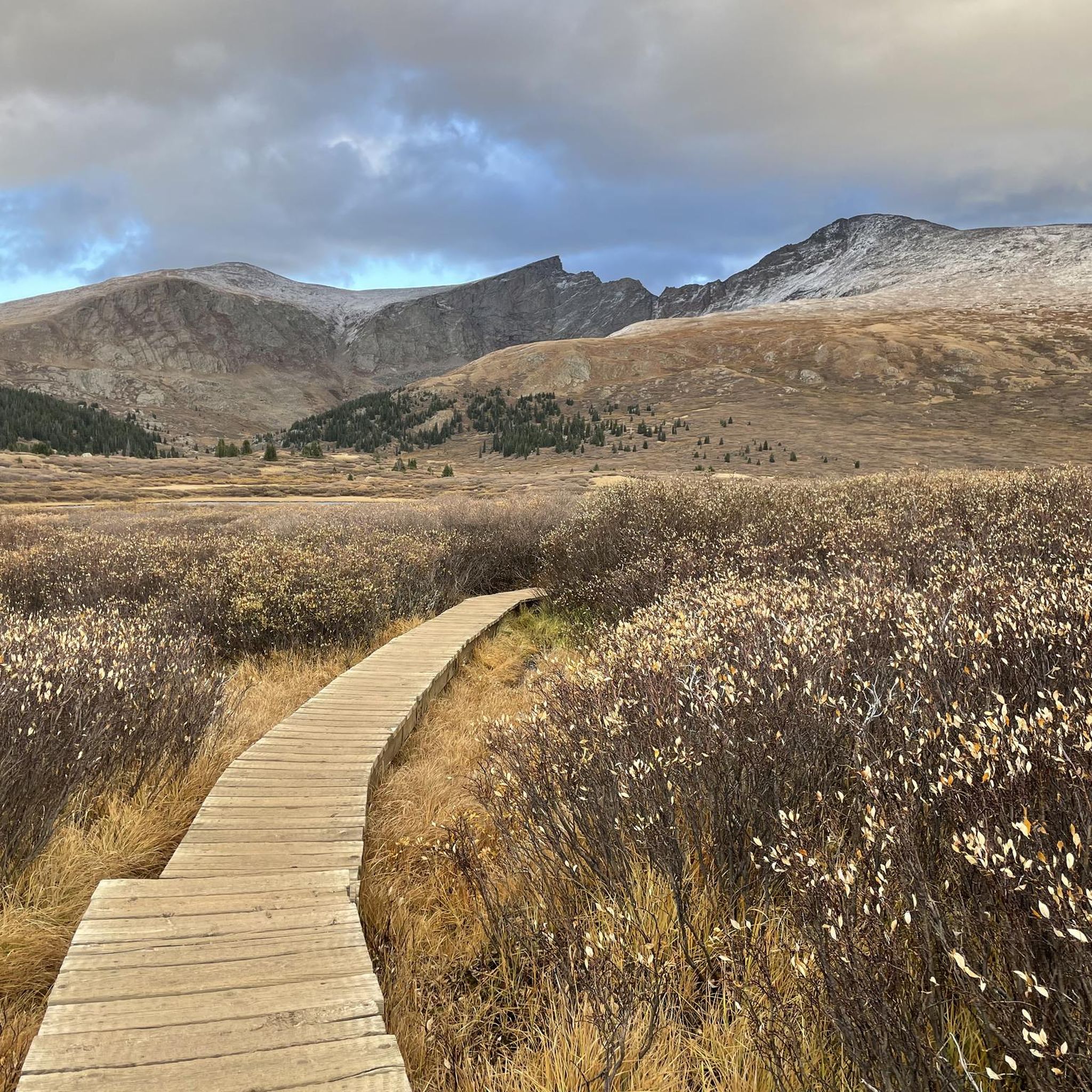
Cycling in Arapaho And Roosevelt National Forests
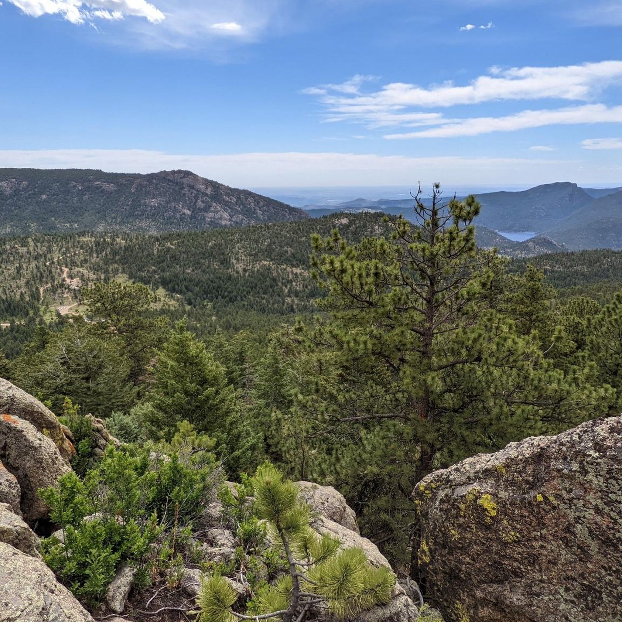
Road Cycling Routes in Arapaho And Roosevelt National Forests
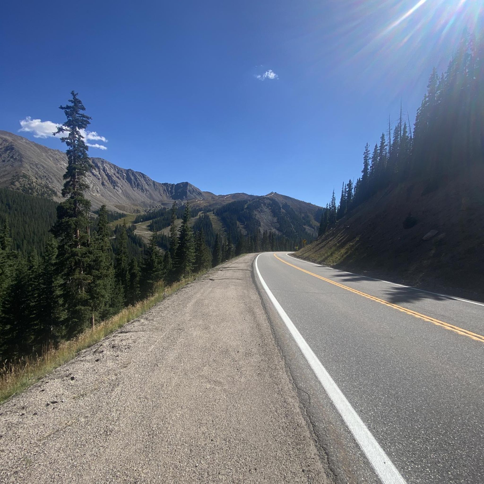
Gravel biking in Arapaho And Roosevelt National Forests
Tips from the Community

Has been a good ride through some of the winter weeks but cold in places.
0
0

Loveland Pass from Keystone is a fantastic high-altitude road biking challenge on US Highway 6, taking you over the Continental Divide. Starting around 9,200 feet at Keystone, you'll ascend approximately 8.5 to 11.5 miles, gaining about 2,600 to 3,000 feet to reach the 11,990-foot summit, with a steady average gradient typically in the 5.4-5.9% range. As you climb, you'll pass the Arapahoe Basin ski area and gradually transition into beautiful alpine meadows and forests before the final switchbacks above treeline offer dramatic views down to I-70 and expansive mountain vistas from the top of the pass. Be prepared for the significant altitude and potentially rapid weather changes at this elevation.
0
0

Rollins Pass, standing at an elevation of 11,676 feet, holds historical significance as early Native Americans were the first to utilize it as a natural, low crossing over the Continental Divide. This facilitated communal hunting of large game. The abandoned rail route over Rollins Pass earned a spot on the National Register of Historic Places in 1980, recognizing its importance in significant events and engineering feats.
0
0

Mestaa'Ėhehe Pass (formerally Squ*w Pass) Summit is located at just over 9,800 feet. This is a popular area for cyclists in the summer time as the temperatures are significantly cooler than in Denver. This also marks the spot where most typically finish the bulk of their climbing. If you are heading back to Idaho Springs or Denver, it's mostly downhill with some great descending.
0
0

Juniper Pass lies below Warrior Mountain on the Colorado Highway 103. It's a long, steady climb from the east, winding up between trees and offering excellent views. A popular cycling road, there are normally lots of bikes and not too many cars.
0
0

At an elevation of 11,307 feet, Berthoud Pass is a high mountain pass in central Colorado. The route going over the pass used to be an old wagon route (the path was deemed unsuitable for a railroad). There is trail access, bathrooms, and lots of parking at the pass summit.
0
0
The Mestaa'Ėhehe Pass (formerly Squ*w Pass) Summit is located at just over 9,800 feet. This is a popular area for cyclists in the summer time as the temperatures are significantly cooler than in Denver. This also marks the spot where most typically finish the bulk of their climbing. If you are heading back to Idaho Springs or Denver, it's mostly downhill with some great descending.
0
0

Berthoud Pass is a mountain pass along the Continental Divide at 11,307 feet in elevation. There is a warming hut at the summit that offers restrooms, picnic areas, as well as interpretive signs regarding avalanches, bark beetle and other forest messages.
0
0
Frequently Asked Questions
What are some of the most popular mountain passes in Arapaho And Roosevelt National Forests?
Among the highly regarded passes are Berthoud Pass, known for its high elevation and historical wagon route, and Juniper Pass, a popular cycling route with excellent views. Another favorite is Jones Pass, offering endless vistas of 12,000 and 13,000-foot peaks.
Are there mountain passes with historical significance in the region?
Yes, Rollins Pass is a historic mountain pass that crosses the Continental Divide. It's known for its historic railroad grade, once part of the Denver, Northwestern and Pacific Railway, offering a unique blend of natural beauty and historical significance.
What kind of outdoor activities can I do near these mountain passes?
The area around the mountain passes offers a wide range of activities. You can find excellent waterfall hikes, challenging running trails, and scenic road cycling routes. Many passes, like Rollins Pass, are also popular for mountain biking and four-wheeling.
Which mountain passes offer stunning viewpoints?
Many passes provide breathtaking views. From the top of Rollins Pass, you can enjoy panoramic vistas of the surrounding Rocky Mountains. Jones Pass also offers endless views of high peaks from its alpine location. Cameron Pass is renowned for its picturesque views of snowy peaks.
Are there any family-friendly options among the mountain passes?
While specific family-friendly designations vary by trail, many areas around the passes offer accessible sections for families. For instance, the area around Cameron Pass provides numerous hiking trails suitable for various skill levels during the summer. Always check specific trail conditions and difficulty before heading out with family.
What is the best time of year to visit the mountain passes?
The best time largely depends on your desired activity. Summer and early fall are ideal for hiking, cycling, and scenic drives when most passes are clear of snow. For winter sports like cross-country skiing, Cameron Pass transforms into a popular spot during the colder months. Always check current conditions before your visit.
Are dogs allowed on trails near the mountain passes?
Yes, some areas are dog-friendly. For example, Taylor Mountain, a summit close to Allenspark, allows dogs on its trails, unlike some areas within Rocky Mountain National Park. Always check specific trail regulations as rules can vary, especially in wilderness areas.
Which passes are good for challenging hiking or backpacking experiences?
For challenging and rewarding hiking, consider Pawnee Pass and Arapaho Pass, both located within the Indian Peaks Wilderness. These passes offer access to pristine forests, alpine lakes, and rugged terrain, appealing to experienced hikers and backpackers seeking high-alpine solitude.
Can I find opportunities for wildlife viewing near the mountain passes?
Yes, the diverse environments around the passes offer chances for wildlife viewing. The byway leading to Cameron Pass, which follows the Cache la Poudre River, is known for opportunities to spot wildlife, including bighorn sheep.
What are the elevation levels of these mountain passes?
The mountain passes in this region are at high elevations. For instance, Berthoud Pass sits at 11,307 feet, Cameron Pass is at 10,276 feet, and Jones Pass reaches 12,454 feet. Arapaho Pass is also high at 11,906 feet. Be prepared for significant altitude when visiting.
Are there any specific permits required for visiting the mountain passes?
While general access to many passes for day use doesn't require specific permits, certain activities or areas might. For example, if you plan on overnight camping in wilderness areas like the Indian Peaks Wilderness (where Pawnee Pass and Arapaho Pass are located), permits are typically required. Always check with the Arapaho and Roosevelt National Forests service for the latest regulations regarding permits for specific activities or extended stays.
Most popular routes in Arapaho And Roosevelt National Forests
Most popular attractions in Arapaho And Roosevelt National Forests

Get inspired with the komoot mobile app


Explore more
See even more epic mountain passes by checking out these guides in Arapaho And Roosevelt National Forests:
