The best running trails in Arapaho And Roosevelt National Forests
3.0
(2)
865
runners
125
runs
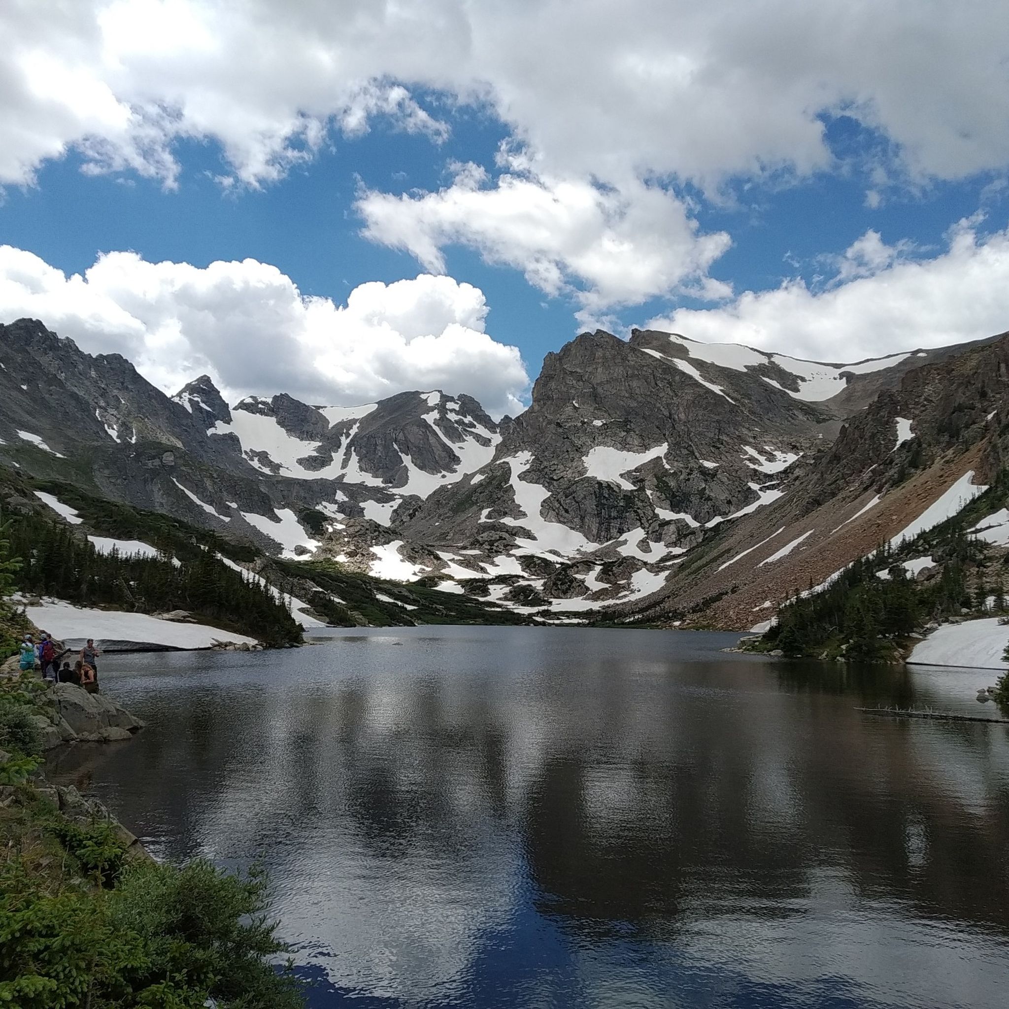
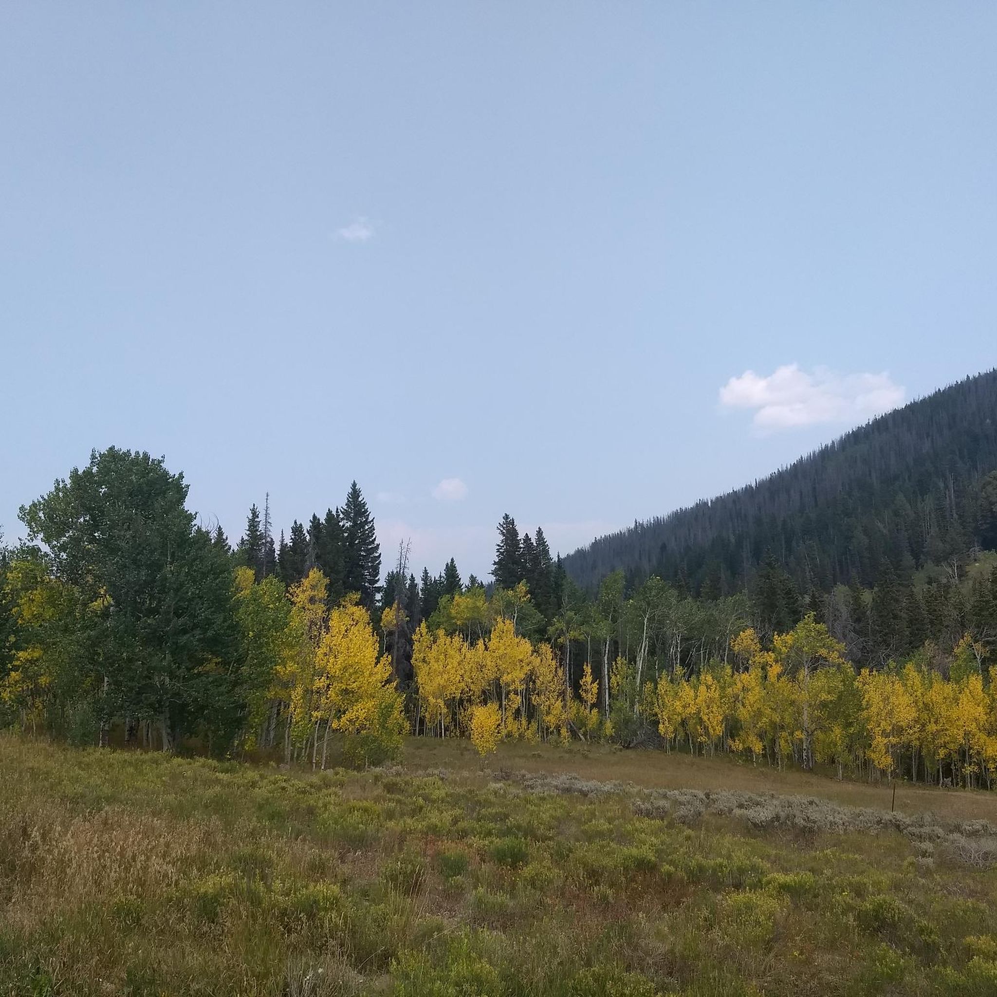
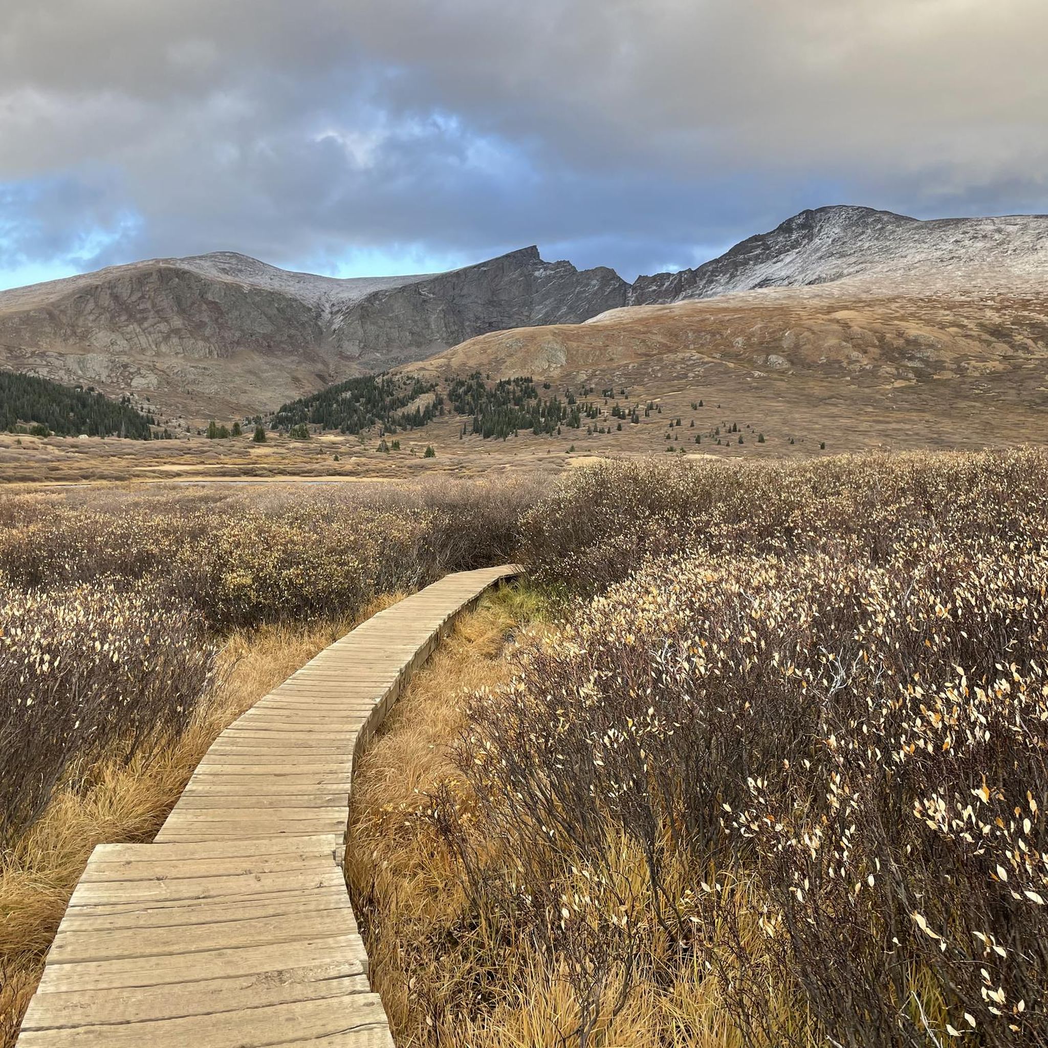
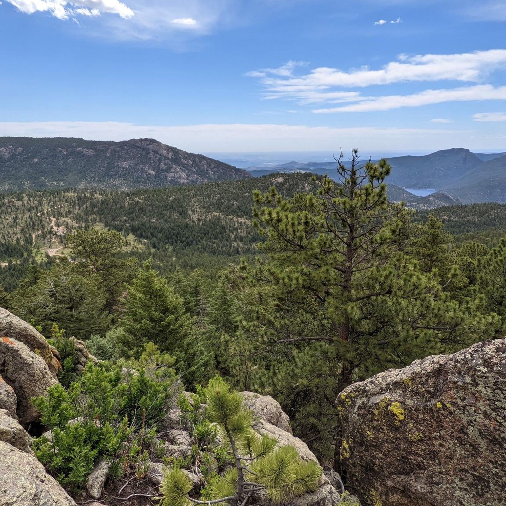
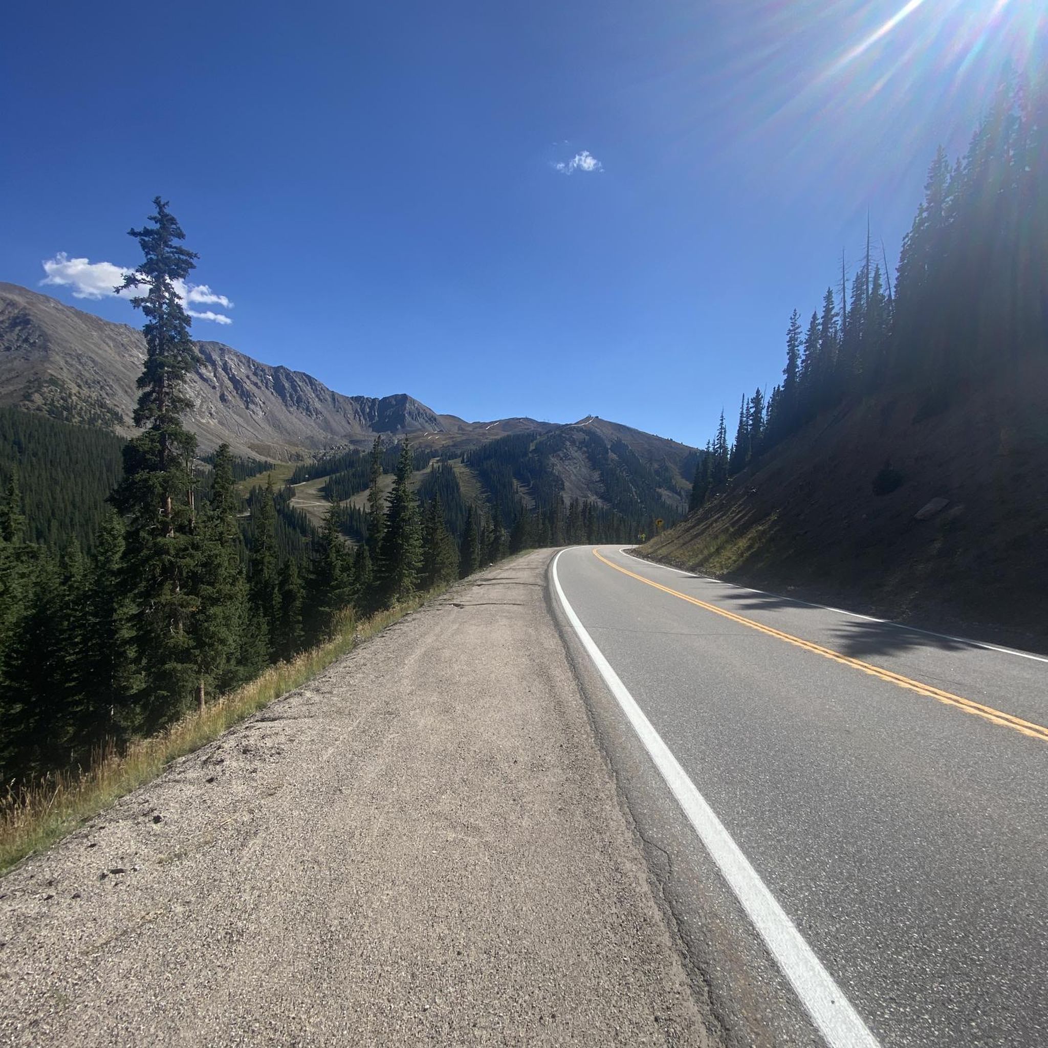
Jogging in Arapaho And Roosevelt National Forests offers diverse terrain across 1.3 million acres in north-central Colorado. The region features towering mountain peaks, including Longs Peak, and varied landscapes encompassing foothills, canyons, and jagged peaks. Numerous lakes and the Cache la Poudre River provide scenic routes, while extensive forests of lodgepole pine and Engelmann spruce offer shaded paths. The area also includes unique alpine tundra and wildflower meadows, providing a dynamic environment for runners.
Best jogging routes in Arapaho And…
Last updated: July 7, 2026
70
runners
22.5km
03:40
960m
960m
If you're looking for a demanding jogging experience, the Devils Thumb Loop is a difficult 14.0-mile (22.5 km) route that will challenge you with a significant 3145 feet (959 metres)…
65
runners
11.8km
02:20
760m
760m
Embark on a difficult jogging route up Mount Bierstadt, a challenging high-altitude run spanning 7.3 miles (11.8 km) with a significant elevation gain of 2508 feet (764 metres). You can…

Sign up for free
57
runners
13.1km
02:45
990m
990m
Prepare for a difficult jogging challenge on the Grays and Torreys Peak Trail, covering 8.1 miles (13.1 km) with a significant 3248 feet (990 metres) of elevation gain. This route…
57
runners
12.0km
03:05
980m
980m
The Grays and Torreys Peak Loop via Kelso Ridge offers a demanding jogging experience through rugged alpine terrain. You will navigate a difficult 7.5 miles (12.0 km) route, gaining a…
26
runners
10.3km
01:49
520m
520m
Embark on the Herman Gulch Trail for a difficult jogging route that immerses you in changing mountain landscapes. You will cover 6.4 miles (10.3 km) and gain 1711 feet (522…
Get access to more routes and recommendations from other explorers.
Sign up for free
Already have an account?
Our route recommendations are based on thousands of hikes, rides, and runs completed by other people on komoot.
Start today with a free account
Your next adventure awaits.
Login or Signup
Popular around Arapaho And Roosevelt National Forests
Tips from the Community

Very close to Rollins Pass, taking the High Lonesome Trail you can reach this point from where you'll have incredible alpine views over King Lake. Definitely a great spot for photos!
1
0

Mostly used as a milestone going up/down. It can be helpful to have hiking sticks to get across to avoid getting wet trail shoes.
0
0

Mount Bierstadt has a reputation for being one of the easiest mountains over 14,000 feet to climb within Colorado state. The reality is that it's still a tough run!
0
0

There is a large gravel parking lot off of I-70 with vault toilets and a large map kiosk. From here you can venture northwest at the junction to head up the Continental Divide Trail toward Herman Lake and beyond, or skirt the southern range of the mountains via the Bard Creek Trail.
0
0
Your run will be rewarded with a stunning view of Herman Lake as it rests beneath the shelter of Pettingell Peak. The trail up to the lake is packed dirt singletrack that is nontechnical but climbs steadily.
0
0

Herman Gulch Trail shares the path with the Continental Divide Trail the majority of its length. It climbs steadily from I-70 to Herman Lake at just over 12,000 feet. Because this trail follows a creek all the way to an alpine lake in a basin of 13ers, there are wildflowers and other growth almost the entire way. This particular portion of trail travels through an open meadow before ducking back into the trees.
0
0

High Lonesome Trail provides a much needed break after ascending to this point. The trail is fairly flat, non-technical, and offers panoramic views (if it's not foggy).
0
0

Time to take a short break and catch some breath. There are some wooden benches at this small flattish area. Enjoy the scenery! There is still some climbing ahead to reach the summit of Mount Bierstadt.
4
0
Frequently Asked Questions
How many running routes are available in Arapaho And Roosevelt National Forests?
The Arapaho And Roosevelt National Forests offer a vast network of trails, with over 130 running routes documented on komoot. These routes cater to various preferences, from serene paths to challenging mountain trails.
What kind of terrain can I expect on the running trails in this region?
Joggers in Arapaho And Roosevelt National Forests will encounter diverse terrain, including towering mountain peaks like Longs Peak, varied landscapes with foothills, canyons, and jagged peaks. You'll also find extensive forests of lodgepole pine and Engelmann spruce, unique alpine tundra, and vibrant wildflower meadows in summer. Many routes feature picturesque lakes and rivers, such as the Cache la Poudre River.
Are there easy jogging routes for beginners in Arapaho And Roosevelt National Forests?
Yes, while many routes are challenging, there are 5 easy jogging routes available in the Arapaho And Roosevelt National Forests. These paths offer a gentler introduction to the region's natural beauty, perfect for those new to trail running or looking for a more relaxed experience.
Are there challenging routes for experienced runners seeking a demanding workout?
Absolutely. For experienced runners, the Arapaho And Roosevelt National Forests boast 95 difficult routes. Trails like the Devils Thumb Loop (14.0 miles) and Mount Bierstadt Trail (7.3 miles) offer significant elevation changes and high-altitude running with expansive views, providing a true test of endurance.
What do other runners say about the trails in Arapaho And Roosevelt National Forests?
The running routes in Arapaho And Roosevelt National Forests are highly rated by the komoot community, with an average score of 5.0 stars. Runners frequently praise the breathtaking mountain scenery, the diverse ecosystems, and the rewarding challenge of the trails.
Are there jogging routes with waterfalls in Arapaho And Roosevelt National Forests?
Yes, several routes offer the chance to see beautiful waterfalls. For instance, the Maxwell Falls Lower Trail is known for its best waterfall views in the spring. You can also explore highlights like Fox Creek Waterfall or Cascade Creek Waterfall, which are accessible via various trails.
Can I find circular jogging routes in the area?
Yes, many trails in the Arapaho And Roosevelt National Forests are designed as loops or can be combined to form circular routes, allowing you to start and end at the same point. The Devils Thumb Loop is a prime example of a challenging circular route.
What kind of wildlife might I see while running in the forests?
The forests are home to a diverse array of wildlife. Joggers might encounter elk, black bears, mountain lions, and golden eagles. The rich natural environment adds an exciting element of wilderness discovery to your runs.
Are there any scenic viewpoints or landmarks along the running paths?
Absolutely. Many trails offer expansive views of towering peaks like Longs Peak and Twin Sisters Peak. You can also find picturesque lakes such as Brainard Lake, Monarch Lake, and Herman Lake. The forests also encompass historical sites, offering a glimpse into the region's past.
What is the best time of year for running in Arapaho And Roosevelt National Forests?
The summer months are particularly popular, offering vibrant wildflower meadows and generally favorable weather. However, the diverse ecosystems provide unique experiences year-round. Some trails may be suitable for winter jogging, but conditions can vary greatly, so always check local forecasts.
Are the running trails in Arapaho And Roosevelt National Forests dog-friendly?
Many trails within the Arapaho And Roosevelt National Forests are dog-friendly, but regulations can vary by specific area or wilderness designation. It's always best to check the specific trail rules or forest service guidelines before heading out with your canine companion. Generally, dogs should be kept on a leash.
Do I need any permits to jog on trails in Arapaho And Roosevelt National Forests?
While many areas are open for public access, some specific trails, wilderness areas, or popular trailheads might require permits or timed entry reservations, especially during peak seasons. It's advisable to check the official U.S. Forest Service website or local ranger district for the most current information regarding permits and fees before your visit.
Are there options for high-altitude running in the region?
Yes, the Arapaho And Roosevelt National Forests are situated within the Rocky Mountains and straddle the Continental Divide, offering numerous opportunities for high-altitude running. Trails like the Mount Bierstadt Trail ascend prominent peaks, providing significant elevation gain and expansive views, ideal for those seeking a high-altitude challenge.
Most popular routes in Arapaho And Roosevelt National Forests
Most popular attractions in Arapaho And Roosevelt National Forests

Get inspired with the komoot mobile app


Explore more
Browse the best Running Trails & Routes in other regions.
