Top 6 Mountain Passes around Castagniers
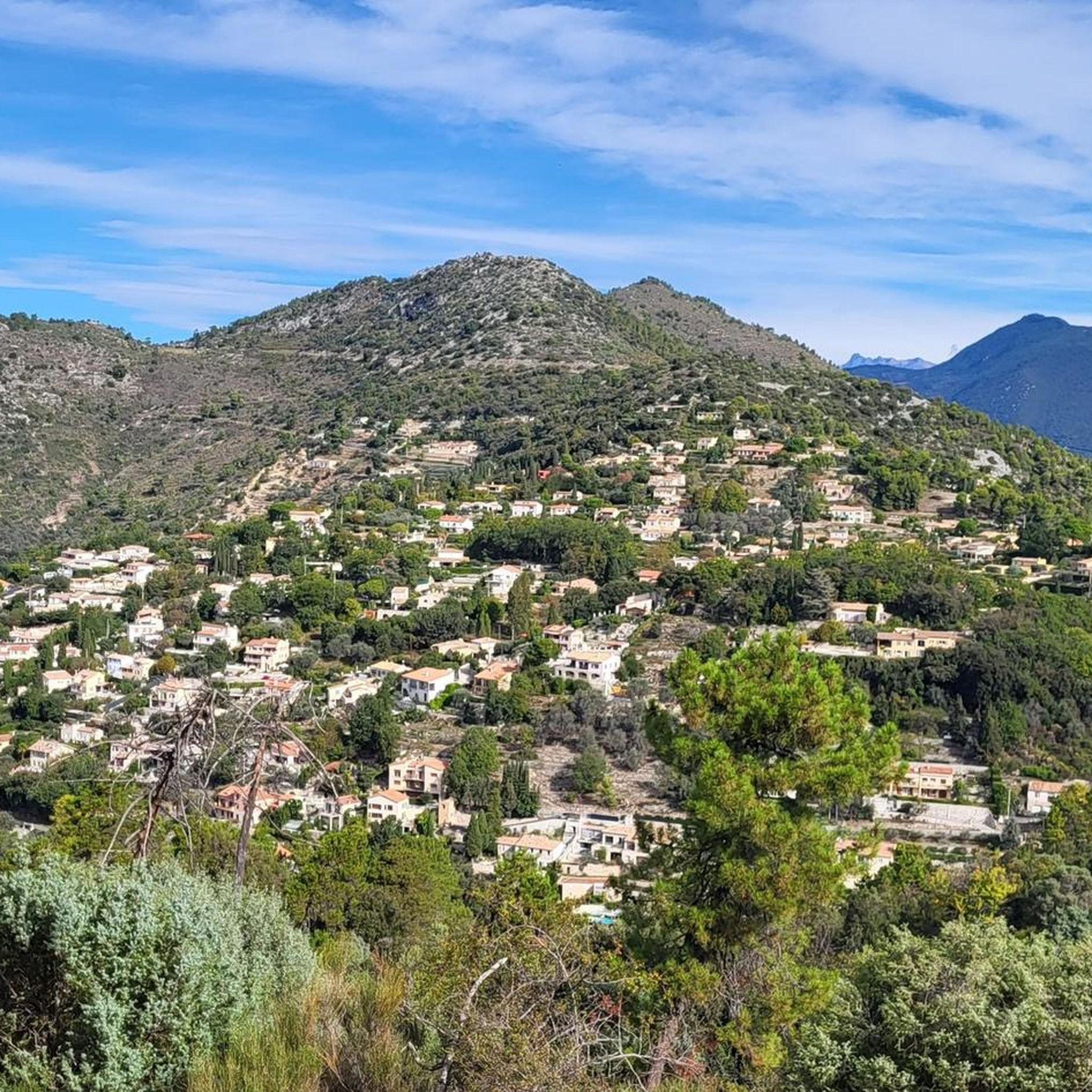
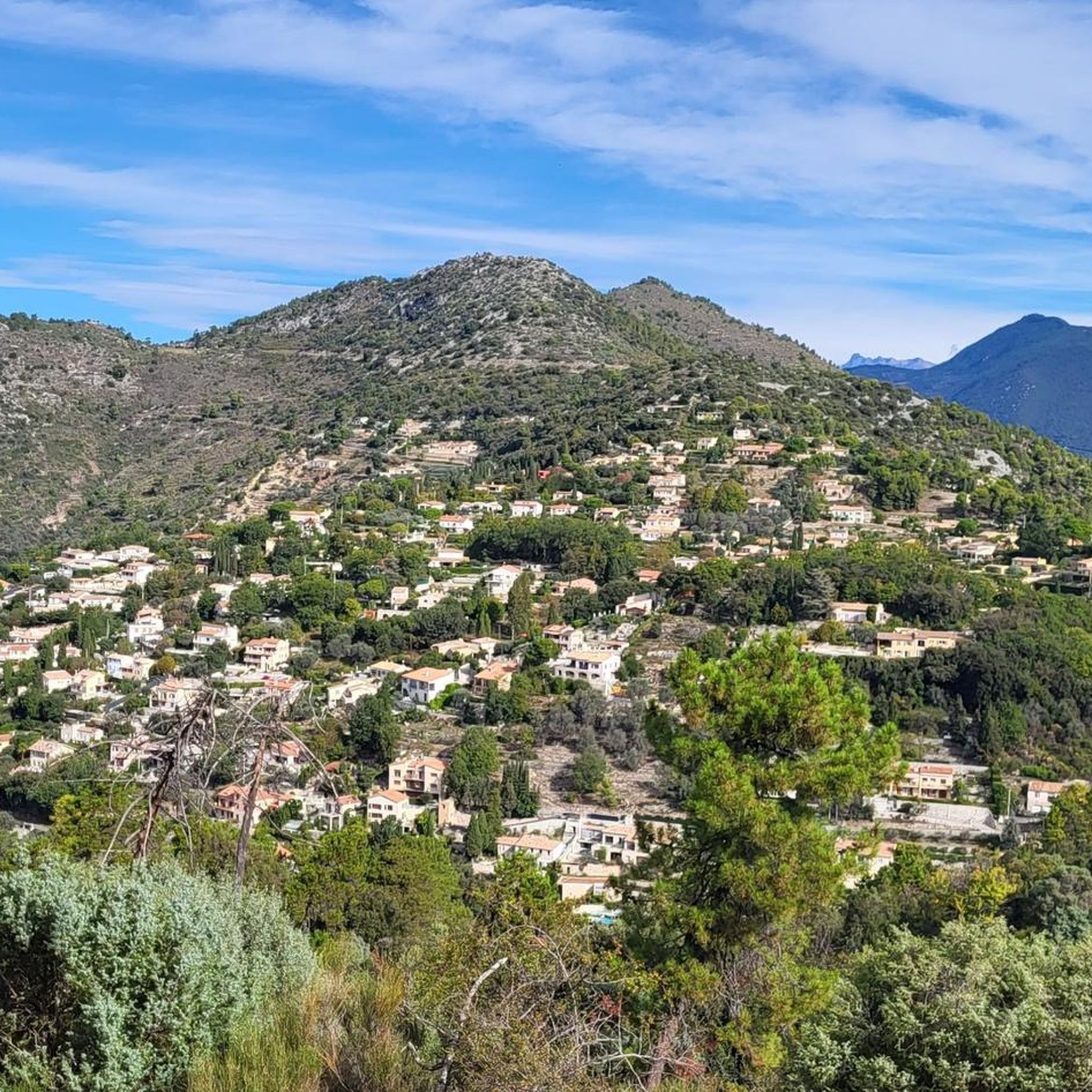
Best mountain passes around Castagniers, a commune in the Alpes-Maritimes department of southeastern France, is characterized by its hilly terrain. The area's peak altitude reaches 881 meters at Mount Cima. Its location in the Nice hinterland provides access to several mountain passes in the surrounding region, popular among cyclists for their challenging ascents.
Best mountain passes around Castagniers
- The most popular mountain pass is Fort du Mont Chauve d'Aspremont, a historical site that rewards with views over Nice, the…
Last updated: May 14, 2026
Fort du Mont Chauve d'Aspremont
Highlight • Historical Site
Translated by Google •
Tip by

Col de Villevieille
Highlight • Mountain Pass
Translated by Google •
Tip by

Sign up now to discover places like this
Get recommendations on the best single tracks, peaks, & plenty of other exciting outdoor places.
Sign up for free
Ascent of the Col de Vence from La Colle-sur-Loup
Highlight (Segment) • Climb
Translated by Google •
Tip by

Ascent of Col de La Roquette-sur-Var
Highlight (Segment) • Climb
Translated by Google •
Tip by

Ascent of the Col d’Èze from Nice
Highlight (Segment) • Mountain Pass
Translated by Google •
Tip by
Sign up for free to discover even more mountain passes around Castagniers.
Sign up for free
Already have an account?
Start today with a free account
Your next adventure awaits.
Login or Signup
Tips from the Community

Often used during the Paris-Nice route, the Col de Vence is well-known in the region. From La Colle-sur-Loup, the climb is nearly 17 kilometers long with an average gradient of 5.3%. The first five kilometers are not very steep, then the slope rises while remaining relatively steady.
0
0
An iconic climb in Nice, the Col d'Èze is ten kilometers long with an average gradient of 5%. A beautiful second-category climb with beautiful views of the Mediterranean.
0
0

The Conte side is made up of a series of hairpins with a large % of slope on the ubac The Tourette-Levens side is shorter with only one hairpin. The entire climb is on the sunny side
0
0
one of the most beautiful roads in the area
1
0

Fantastic view over Nice - great one-way-road
0
0

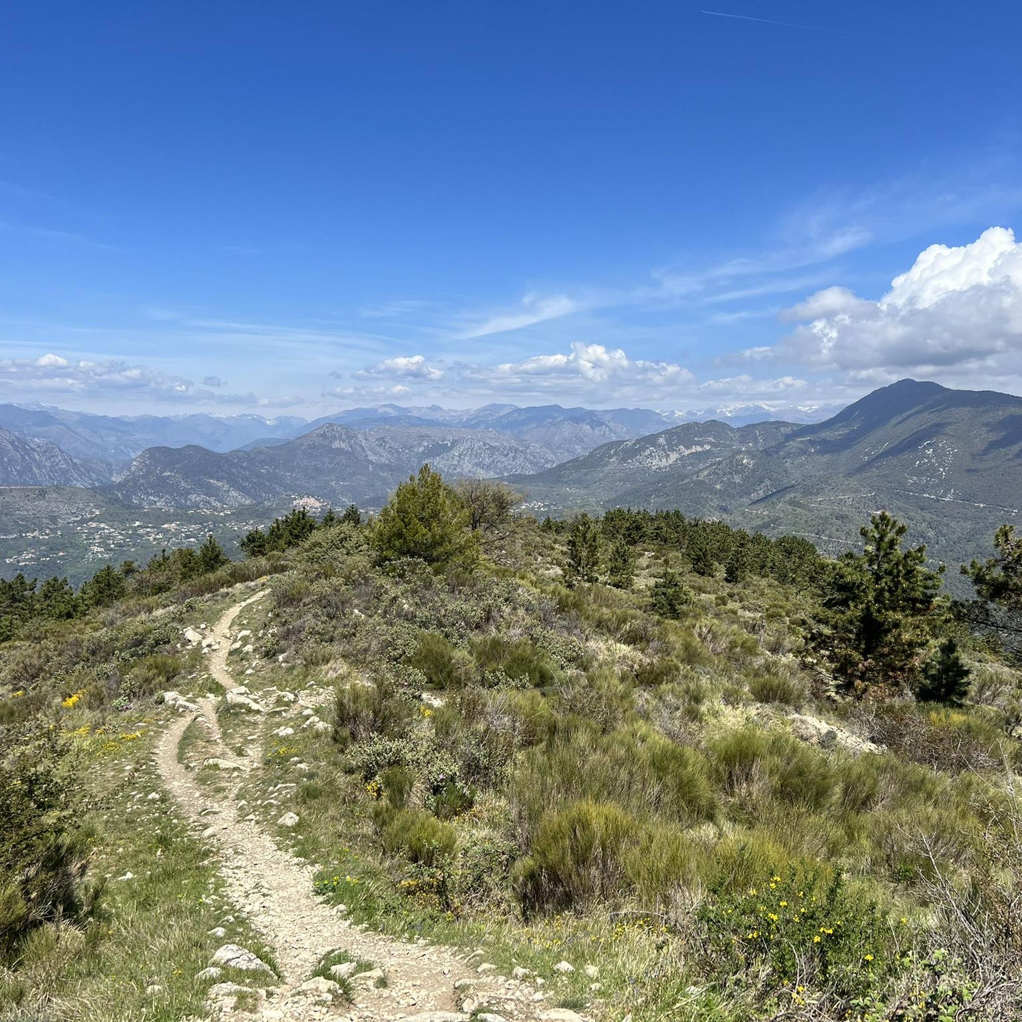
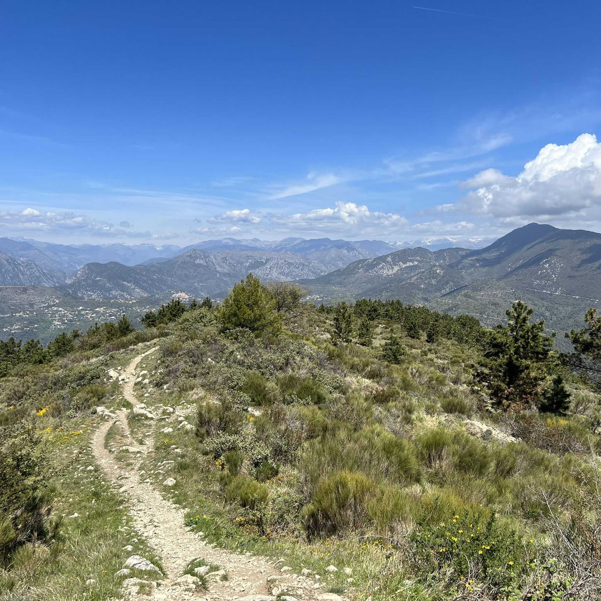
The ascent to Mont Chauve is entirely paved, even if the asphalt after the barrier is very damaged, and allows you to reach this panoramic panettone above Nice, enjoying a 360° view. We talked about it here https://outdoortest.it/riviera-gravel-due-percorsi-gravel-a-picco-sul-mare-della-costa-azzurra/
1
0

As soon as you leave the M14 turning right for the Mont Chauve road, it takes a little over 7km of ascent over 540m positive; to reach the fort.
0
0

At the top, a sumptuous view of Nice and its surroundings.
1
1
Frequently Asked Questions
What are some of the most scenic mountain passes near Castagniers?
The region around Castagniers offers several passes with stunning views. The Fort du Mont Chauve d'Aspremont provides incredible panoramic views over Nice, the Mediterranean, and the lower Alps, with Corsica visible on clear days. Another iconic climb, the Ascent of the Col d’Èze from Nice, also offers beautiful Mediterranean vistas.
Are there challenging cycling routes involving mountain passes near Castagniers?
Yes, the area is renowned for its challenging cycling routes. Passes like the Col de Turini, often featured in the Tour de France and Rallye Monte Carlo, offer demanding ascents and breathtaking views of the Mercantour peaks. The Col des Ferres is also known as a hard road ride requiring very good fitness. For a classic climb, consider the Ascent of the Col de Vence from La Colle-sur-Loup, a nearly 17-kilometer climb with an average gradient of 5.3%.
Which mountain passes are known for their unique features or history?
The Fort du Mont Chauve d'Aspremont is a historical site with fortifications that once guarded the port and city of Nice. The Col de Braus is famous for its superb series of hairpin bends midway through the route, making it a visually striking and challenging climb. The Col de Turini has a rich history, being a regular feature in major cycling and rallying events.
What kind of hiking opportunities are available near the mountain passes?
You can find various hiking trails around Castagniers. For example, near Aspremont, there are routes like Mont Chauve d'Aspremont, which is a moderate 8 km hike. Other options include the 'Aspremont – View of Aspremont loop' or the more difficult 'The cave loop from Aspremont'. You can explore these and more on the Hiking around Castagniers guide.
Are there mountain biking trails in the Castagniers area?
Yes, the region offers challenging mountain biking trails. Routes like 'View of the Bay of Nice – Mount Cima, Aspremont loop' and 'Aspremont – Mount Cima, Aspremont loop' are difficult and provide extensive rides. For more options, check out the MTB Trails around Castagniers guide.
What are some notable road cycling routes that include these passes?
Road cyclists can enjoy several long and challenging routes. Options include a 134 km 'Braus Pass – Col de Turini loop from Castagniers' or a 149 km 'Col de Turini – Castillon Pass loop from Castagniers'. The Ascent of Col de La Roquette-sur-Var is also part of a beautiful road frequently used by professionals. Find more routes in the Road Cycling Routes around Castagniers guide.
What is the best time of year to visit the mountain passes around Castagniers?
The spring and autumn months generally offer the most pleasant weather for exploring the mountain passes, with milder temperatures ideal for cycling and hiking. Summer can be quite warm, especially at lower elevations, but higher passes provide cooler air. Winter can bring snow to the higher passes, making some routes inaccessible or requiring specialized gear for winter activities.
Are there any mountain passes that are particularly challenging for cyclists?
Absolutely. The Col de Villevieille from Entrevaux is a significant challenge, with an average gradient of 6.25% over 8.75 km and sections reaching 11%. The Col de Braus, a category two pass, also presents a considerable ascent with a steady 6.4% average gradient over 10 km. The Col de Turini is another legendary and demanding climb.
What kind of views can I expect from the mountain passes?
The mountain passes around Castagniers offer diverse and spectacular views. From passes like Fort du Mont Chauve d'Aspremont and Col d’Èze, you can enjoy sweeping vistas of the Mediterranean Sea and the Côte d'Azur. Higher passes like Col de Turini provide alpine panoramas of the Mercantour peaks. Many passes also offer views of the surrounding hilly terrain and picturesque villages.
What do visitors enjoy most about the mountain passes near Castagniers?
Visitors frequently praise the rewarding views after a tough climb, such as those from Fort du Mont Chauve d'Aspremont. The challenging nature of the climbs, combined with the stunning Mediterranean and alpine landscapes, makes for a memorable experience. The region's connection to renowned sporting events like the Tour de France also adds to its appeal for many.
Are there any easy or beginner-friendly mountain passes for cycling or hiking?
While many passes in the region are known for their challenging gradients, some routes offer more moderate sections. For instance, the Ascent of the Col de Vence from La Colle-sur-Loup has a gentler start for the first five kilometers before the slope rises. For hiking, there are easier loops like 'Scenic view on Aspremont – Aspremont loop from Aspremont' which is rated easy.
Most popular routes around Castagniers
Most popular attractions around Castagniers

Get inspired with the komoot mobile app


Explore more
See even more epic mountain passes by checking out these guides around Castagniers:
