The best road cycling routes around Castagniers
4.5
(450)
21,442
riders
116
rides
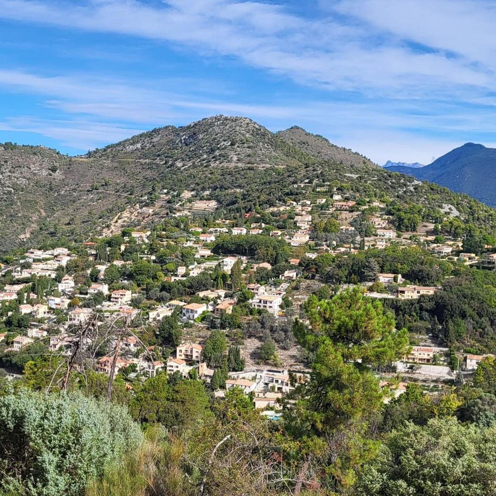
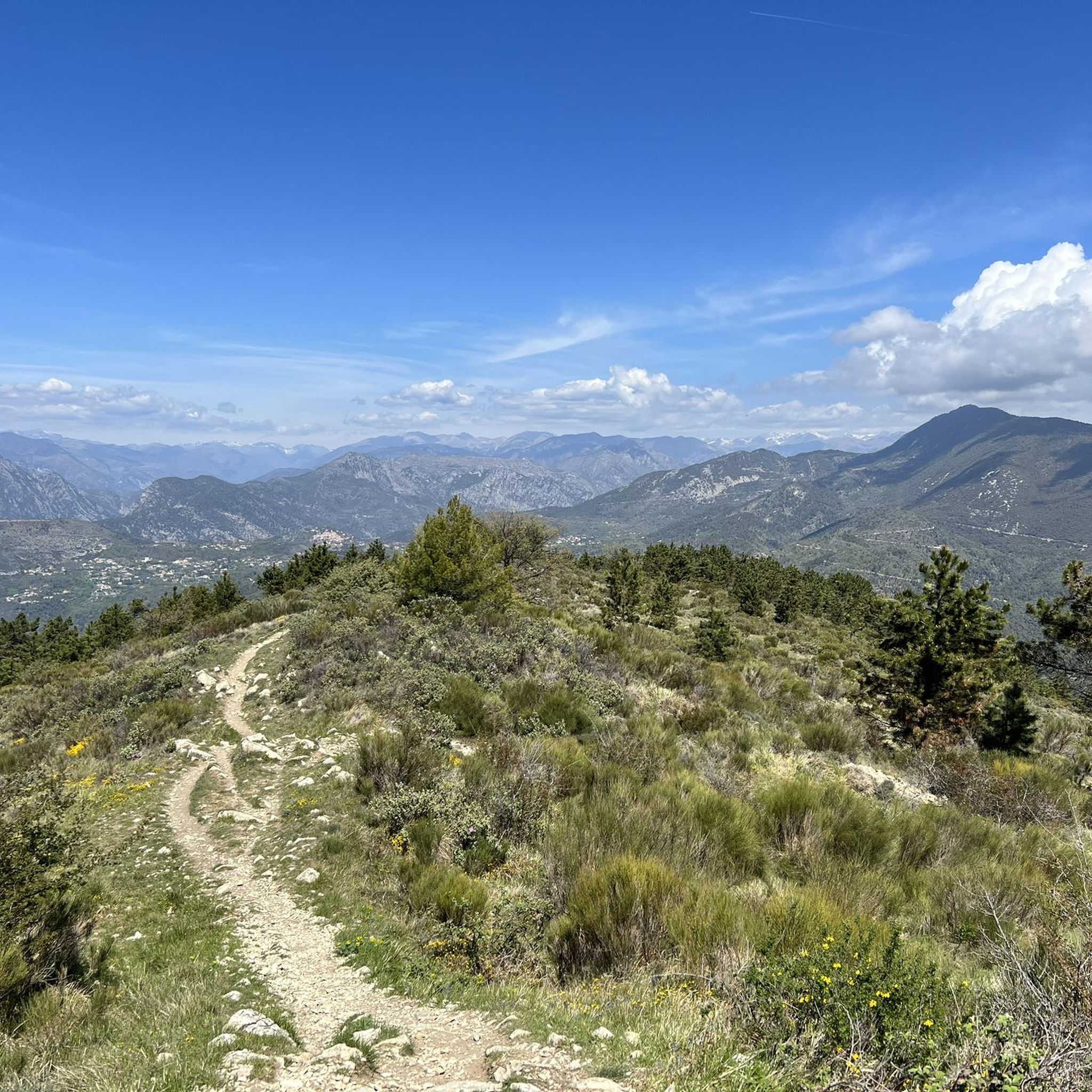
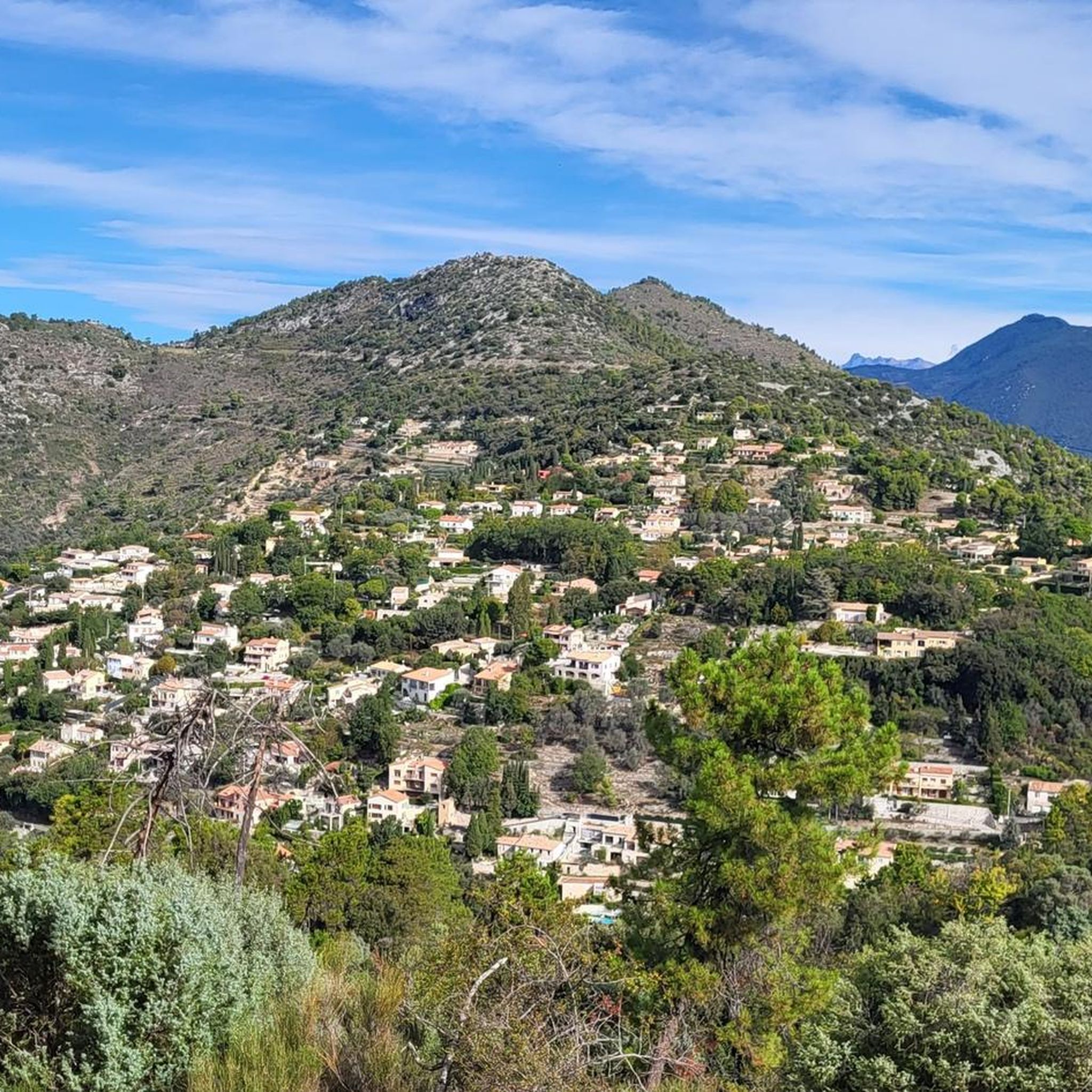
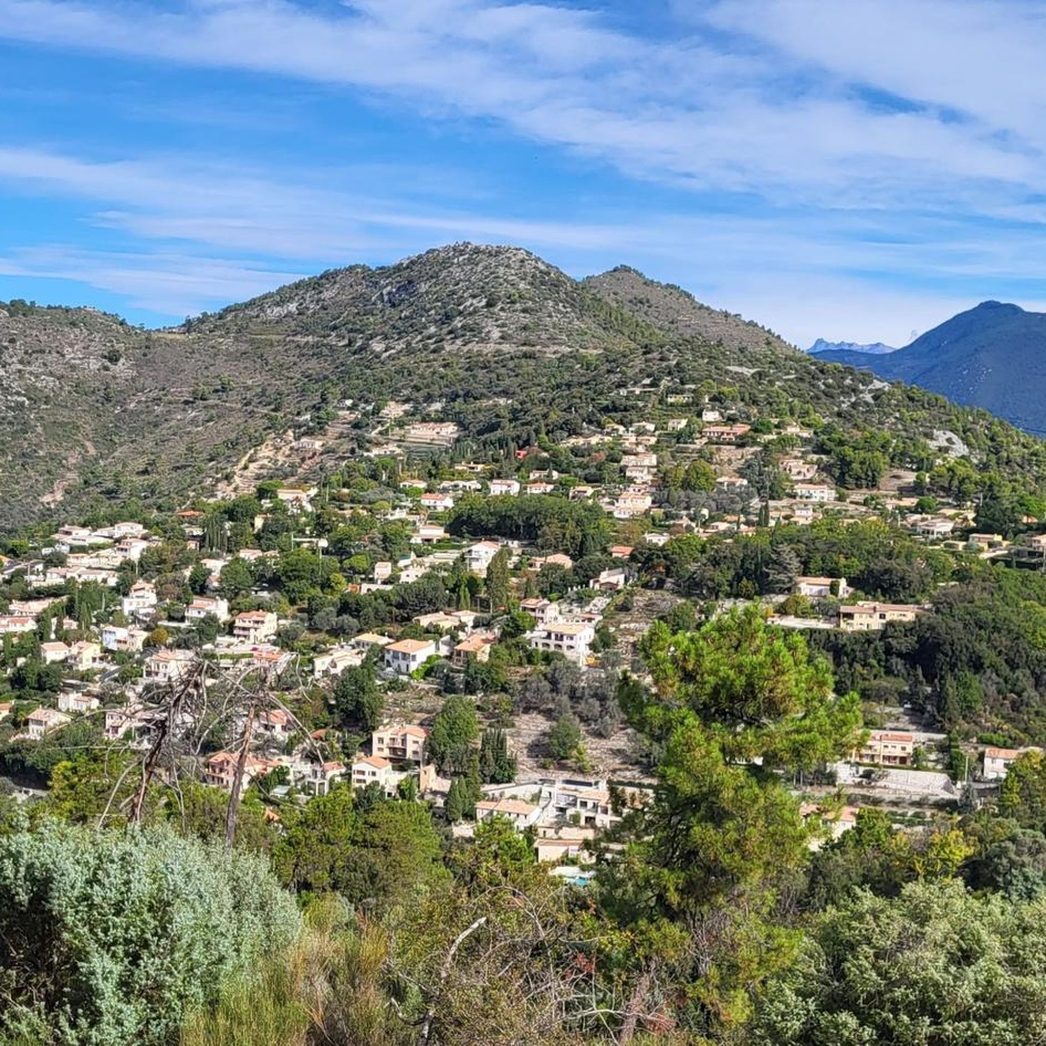
Road cycling around Castagniers features a diverse landscape of well-paved roads winding through hilly terrain and Mediterranean vegetation. The region is characterized by significant elevation gains, offering challenging climbs and rewarding descents. Cyclists can explore routes that traverse wooded hills, overlook the Var valley, and connect picturesque "perched villages" in the Alpes-Maritimes department. This area provides a varied environment for road cyclists seeking both physical challenge and scenic views.
Best road cycling routes around Castagniers
- The most popular road cycling…
Last updated: August 20, 2026
5.0
(2)
199
riders
106km
06:00
2,370m
2,370m
Hard road ride. Very good fitness required. Mostly well-paved surfaces and easy to ride.
4.5
(2)
377
riders
136km
07:44
3,040m
3,040m
Hard road ride. Very good fitness required. Some segments of this route may be unpaved and difficult to ride.

Sign up for free
5.0
(1)
206
riders
149km
08:37
3,360m
3,360m
Hard road ride. Very good fitness required. Mostly well-paved surfaces and easy to ride.
4.8
(13)
802
riders
114km
06:06
2,110m
2,110m
Hard road ride. Very good fitness required. Some segments of this route may be unpaved and difficult to ride.
4.7
(15)
211
riders
37.6km
02:01
540m
540m
Moderate road ride. Good fitness required. Mostly well-paved surfaces and easy to ride.
Get access to more routes and recommendations from other explorers.
Sign up for free
Already have an account?
Our route recommendations are based on thousands of hikes, rides, and runs completed by other people on komoot.
Start today with a free account
Your next adventure awaits.
Login or Signup
Tips from the Community

Small town accessible by train, a good starting point or stopover for a hike. Also has a campsite...
0
0


Corniche road. Magnificent views of the Mediterranean, Nice... At the Col du Farguet, views of the Mercantour. To reach the Col de Braus, gravel road accessible to classic electric bikes (not mountain bikes)
0
0

The Col d'Èze, located between Nice and Monaco, near La Turbie in the Alpes-Maritimes department, peaks at 507 m. Located less than 5 km from the coast, it offers a remarkable panorama of the Côte d'Azur: Cap Ferrat to the west, and Italy to the east. It is part of the Route des Grandes Alpes route. Despite its modest altitude, it is important to remember that the climbs all start at sea level and that the elevation gain is therefore quite significant at nearly 500 m. There are many options for accessing the Col d'Èze...
1
1
The Col d'Èze, located between Nice and Monaco, near La Turbie in the Alpes-Maritimes department, peaks at 507 m. Located less than 5 km from the coast, it offers a remarkable panorama of the Côte d'Azur: Cap Ferrat to the west, and Italy to the east. It is part of the Route des Grandes Alpes route. Despite its modest altitude, it is important to remember that the climbs all start at sea level and that the elevation gain is therefore quite significant at nearly 500 m. There are many options for accessing the Col d'Èze...
0
0
An exceptional site, located between Sospel and Moulinet, on the Route des Grands Alpes. This sanctuary with its vertiginous staircase (listed as a Historic Monument in 1937) overlooks the Piaon Gorges in the Bévéra Valley.
0
0
Frequently Asked Questions
What kind of terrain can I expect when road cycling around Castagniers?
The region around Castagniers is known for its diverse and challenging terrain. You'll find well-paved roads winding through hilly landscapes, offering significant elevation gains and rewarding descents. The routes traverse wooded hills and Mediterranean vegetation, providing a mix of physical challenge and scenic beauty.
Are there road cycling routes suitable for beginners or those seeking easier rides?
Yes, while Castagniers is renowned for its challenging climbs, there are options for various ability levels. Out of over 120 road cycling routes, 8 are classified as easy and 60 as moderate, offering less demanding rides through the scenic landscape.
What are some of the most challenging road cycling routes in the area?
For experienced cyclists, Castagniers offers several demanding routes with substantial elevation gains. Notable examples include the Col des Ferres - Cheiron directed biological reserve, which covers over 105 km with more than 2,300 meters of climbing. Other challenging options are the Braus Pass – Col de Turini loop from Castagniers and the Col de Turini – Castillon Pass loop from Castagniers, both featuring over 3,000 meters of elevation gain.
What kind of views and landmarks can I expect along the road cycling routes?
Road cycling routes around Castagniers offer breathtaking panoramic views. You can expect sweeping vistas of the Var plain, the Var valley, and lush Mediterranean vegetation, including olive groves and umbrella pines. Many routes also pass through charming 'perched villages' and offer glimpses of the distant sea and mountains. The climb to Mont Cima, for instance, provides magnificent panoramic views.
Are there any interesting attractions or points of interest near the cycling routes?
Absolutely. Beyond the natural beauty, you can explore cultural and historical sites. The Fort du Mont Chauve d'Aspremont is a historical site nearby. You might also encounter other 'perched villages' like Aspremont, Carros, Coaraze, and Saint-Jeannet, which are part of the Métropole Nice Côte d'Azur's 'Route des Villages Perchés'.
What is the best time of year for road cycling in Castagniers?
The region's Mediterranean climate makes it suitable for cycling for much of the year. Spring and autumn generally offer the most pleasant temperatures for tackling the climbs, with less extreme heat than summer and milder conditions than winter. However, the well-paved roads and varied terrain can be enjoyed across different seasons, depending on your preference for warmth or cooler rides.
Are there any loop routes available for road cyclists?
Yes, many of the road cycling routes around Castagniers are designed as loops, allowing you to start and finish in the same location. Examples include the challenging Braus Pass – Col de Turini loop from Castagniers and the Col de Turini – Castillon Pass loop from Castagniers, providing comprehensive tours of the area's mountain passes.
What do other road cyclists say about the routes in Castagniers?
The road cycling routes in Castagniers are highly regarded by the komoot community, holding an average rating of 4.5 stars from over 400 reviews. Cyclists frequently praise the challenging climbs, the stunning panoramic views, and the opportunity to explore the picturesque 'perched villages' and diverse Mediterranean landscapes.
Are there any family-friendly road cycling options in Castagniers?
While many routes feature significant elevation, there are easier and moderate options that families with older, more experienced children might enjoy. For very young children, the challenging terrain and traffic on main roads might be less suitable. It's best to check the difficulty grade and elevation profiles of individual routes to find the most appropriate ones for your family.
Where can I find cafes or places to rest along the road cycling routes?
As you cycle through the 'perched villages' and towns in the region, you'll often find local cafes and small shops where you can stop for refreshments. These villages, such as Aspremont and others along the 'Route des Villages Perchés', provide excellent opportunities for a break and to experience local culture.
What is the total number of road cycling routes available in Castagniers?
There are over 120 road cycling routes available around Castagniers, offering a wide range of distances and difficulty levels to suit different preferences and fitness levels.
Are there any specific routes that showcase the 'perched villages' of the region?
Yes, Castagniers is part of the Métropole Nice Côte d'Azur's 'Route des Villages Perchés'. Many routes, such as the 50 km circuit that was part of the Tour de France, allow cyclists to discover charming villages like Aspremont, Carros, Coaraze, and Saint-Jeannet, providing a unique cultural and visual experience.
Most popular routes around Castagniers
Most popular attractions around Castagniers

Get inspired with the komoot mobile app


Explore more
Browse the best Road cycling routes in other regions.
