The best gravel rides in Forêt Du Darbelay
4.0
(2)
22
riders
3
rides
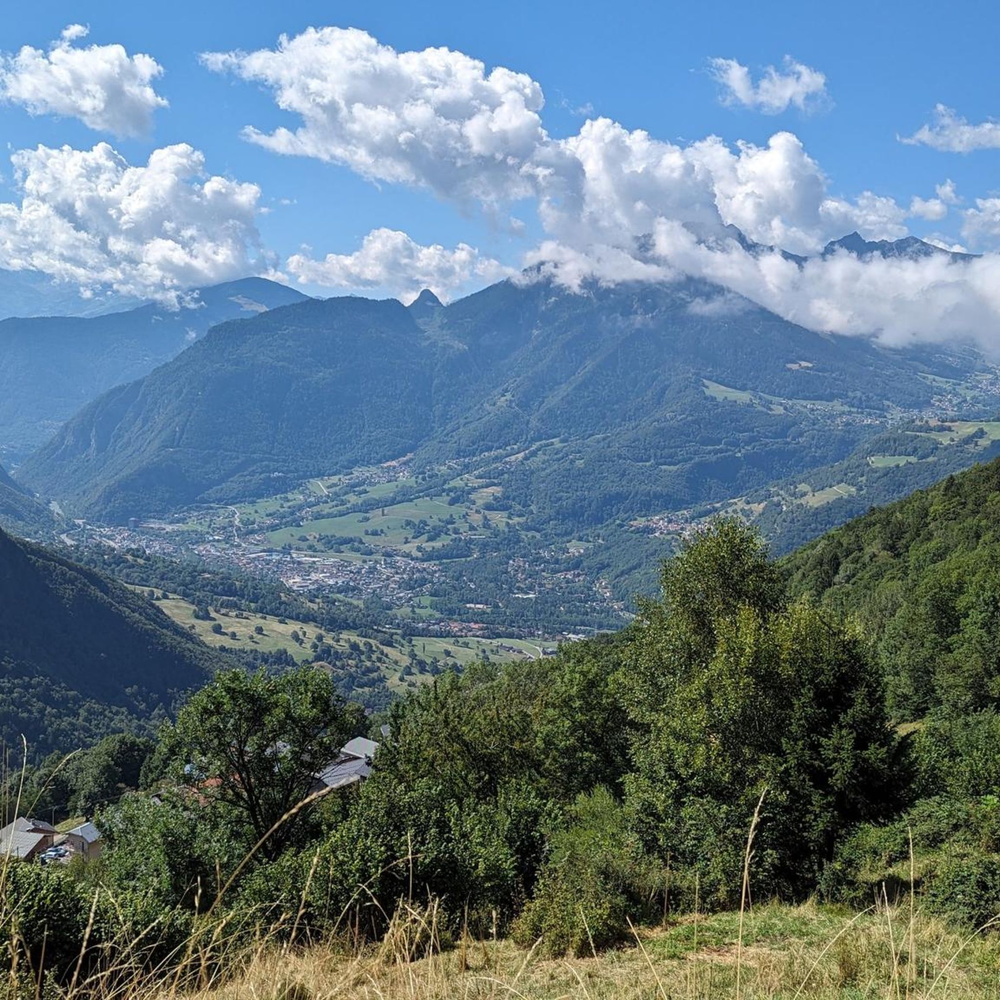
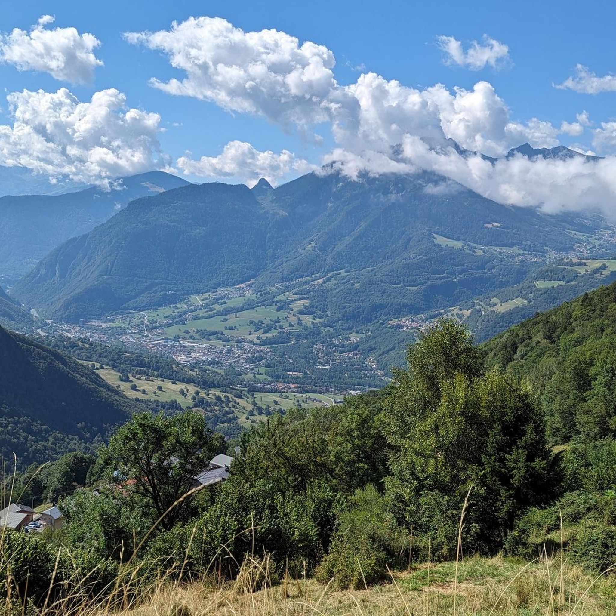
Gravel biking in Forêt Du Darbelay provides routes through forested areas and along river valleys. The region features varied terrain, including moderate climbs and longer, more challenging ascents on alpine tracks. Its landscape is characterized by natural pathways suitable for gravel bikes, offering diverse experiences for riders amidst rugged peaks and deep valleys.
Best gravel bike trails in Forêt Du Darbelay
- The most popular gravel bike trail is Grand Arc Nord loop from Tours-en-Savoie, an 11.2 miles (18.1 km) trail that takes 1 hour 16 minutes to complete. This route offers a moderate challenge through varied terrain.
- Another top favourite among local gravel bikers is Col du Vorger – Tamié Pass loop from Albertville, a difficult 35.4 miles (57.0 km) path. This route features significant elevation gain through mountainous landscapes.
- Local gravel bikers also love the Viewpoint with benches – Picnic bench with great view loop from Hautecour, a 20.8 miles (33.4 km) trail leading through forested sections and offering panoramic views, often completed in about 3 hours 23 minutes.
- Gravel biking in Forêt Du Darbelay is defined by forested paths, river valley routes, and varied elevation changes. The network offers options for different ability levels, from moderate to difficult.
- The routes in Forêt Du Darbelay are highly rated by the komoot community with an average score of 4.0 stars from 2 reviews. More than 15 gravel bikers have used komoot to explore Forêt Du Darbelay's varied terrain.
Last updated: July 5, 2026
3
riders
18.1km
01:16
230m
240m
Moderate gravel ride. Good fitness required. Mostly paved surfaces. Suitable for all skill levels.
3
riders
57.1km
04:15
1,440m
1,440m
Hard gravel ride. Very good fitness required. Mostly paved surfaces. Suitable for all skill levels.

Sign up for free
3.0
(1)
5
riders
33.4km
03:24
1,330m
1,330m
Hard gravel ride. Very good fitness required. Mostly paved surfaces. Suitable for all skill levels.
5.0
(1)
6
riders
28.3km
02:13
740m
740m
Hard gravel ride. Very good fitness required. Mostly paved surfaces. Suitable for all skill levels.
5
riders
28.7km
02:36
1,090m
1,100m
Hard gravel ride. Very good fitness required. Mostly paved surfaces. Suitable for all skill levels.
Our route recommendations are based on thousands of hikes, rides, and runs completed by other people on komoot.
Start today with a free account
Your next adventure awaits.
Login or Signup

Tips from the Community

nice little church in the village
2
0
Place on the D915, already suffering from through traffic. Some nice corners and a water source at the town hall.
2
0

there's a water tap at the mairie, a little hidden behind a bush. Right of the main entrence
0
0


The descent between the Sambuy resort and La Glaise offers playful forest trails with a few jumps.
0
0

cycling friendly chalet, check out https://www.ovonetwork.com/fr/chalets/france/valmorel/chalet-pajules perfect base camp for the coming étape du tour 2025
0
0

A hill with a lot of traffic, better on roads that run parallel.
0
0

Quite an easy climb, however the terminal was missing due to work at the summit on the day of my ascent (mid-August 2024), hoping to return soon!
0
0
Frequently Asked Questions
How many gravel bike trails are available in Forêt Du Darbelay?
Forêt Du Darbelay offers a selection of 15 gravel bike trails, catering to various skill levels from moderate to difficult. These routes provide diverse experiences through the region's natural landscape.
Are there any beginner-friendly gravel bike routes in Forêt Du Darbelay?
While there are no routes specifically classified as 'easy,' Forêt Du Darbelay features 6 moderate gravel bike trails that are suitable for riders with some experience. These routes offer a good balance of challenge and scenic beauty without being overly demanding. For example, the Grand Arc Nord loop from Tours-en-Savoie is a popular moderate option.
What is the best time of year for gravel biking in Forêt Du Darbelay?
The best time for gravel biking in Forêt Du Darbelay is typically from spring through autumn. During these seasons, the weather is generally mild, and the trails are in optimal condition. Winter riding might be possible on some lower elevation routes, but higher sections could be affected by snow or ice, requiring specific gear and caution.
Are there any long-distance gravel bike routes in the region?
Yes, Forêt Du Darbelay offers several longer routes for those seeking an extended ride. The Véloroute 62 – Bike path loop from Rognaix is a substantial 39.1-mile (62.9 km) moderate path, perfect for a longer day out. For a more challenging long-distance adventure, consider the difficult Col des Aravis – Col de l'Arpettaz loop from Cevins, which spans over 66 miles (107 km).
What kind of terrain can I expect on gravel bike trails in Forêt Du Darbelay?
Gravel biking in Forêt Du Darbelay is characterized by varied terrain. You'll encounter forested paths, sections along river valleys, and routes with moderate to challenging elevation changes. The landscape offers a mix of natural pathways, providing a diverse and engaging riding experience.
Are there circular gravel bike routes available?
Yes, many of the gravel bike routes in Forêt Du Darbelay are designed as loops, allowing you to start and finish at the same point. Examples include the Grand Arc Nord – Ruisseau des Moulins loop from Rognaix and the Tunnel under the rock – Montée de Hautecour loop from Grignon, offering convenient options for your ride.
What do other gravel bikers enjoy most about Forêt Du Darbelay?
The gravel biking routes in Forêt Du Darbelay are highly rated by the komoot community, with an average score of 4.2 stars. Riders often praise the varied terrain, the beauty of the forested areas, and the engaging challenges offered by the moderate and difficult ascents. The region's natural pathways and river valley routes are frequently highlighted as key attractions.
Are there any routes that pass by scenic viewpoints or natural features?
Many routes in Forêt Du Darbelay traverse scenic areas. For instance, the Grand Arc Nord – Ruisseau des Moulins loop from Rognaix leads through forested sections and near water features, offering picturesque views. The region's varied elevation also means many trails provide expansive vistas of the surrounding landscape.
Is parking available near the gravel bike trails?
Parking availability varies by trailhead. Many routes, especially those starting from towns like Tours-en-Savoie, Rognaix, Cevins, or Grignon, typically have designated parking areas nearby. It's advisable to check the specific route details on komoot for recommended starting points and parking information before your ride.
Can I access Forêt Du Darbelay's gravel trails using public transport?
Access to Forêt Du Darbelay via public transport depends on your starting point and the specific trail you plan to ride. Regional bus services or train lines might connect to towns bordering the forest, such as Tours-en-Savoie or Rognaix. From these points, you might need to cycle a short distance to reach the trailheads. Checking local transport schedules and routes is recommended.
Are there any cafes or refreshment stops along the gravel bike routes?
While the routes themselves primarily focus on natural landscapes, many trails start or pass through small towns and villages where you can find cafes, bakeries, or small shops for refreshments. For example, routes originating from Tours-en-Savoie or Rognaix offer opportunities to refuel before or after your ride.
Most popular routes in Forêt Du Darbelay

Get inspired with the komoot mobile app


Explore more
Browse the best Gravel rides in other regions.
