The best walks and hikes in Forêt Du Darbelay
4.5
(712)
8,538
hikers
228
hikes
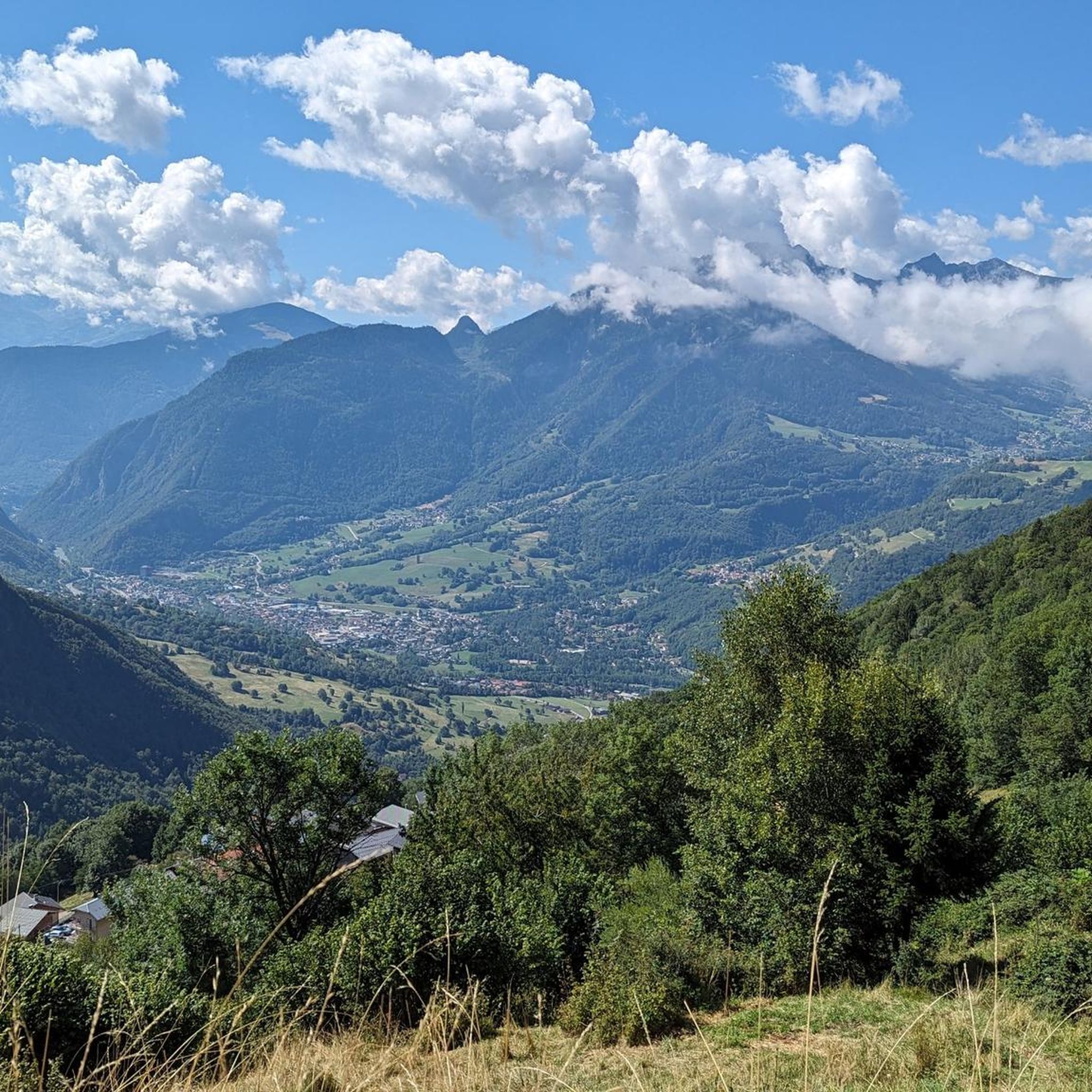
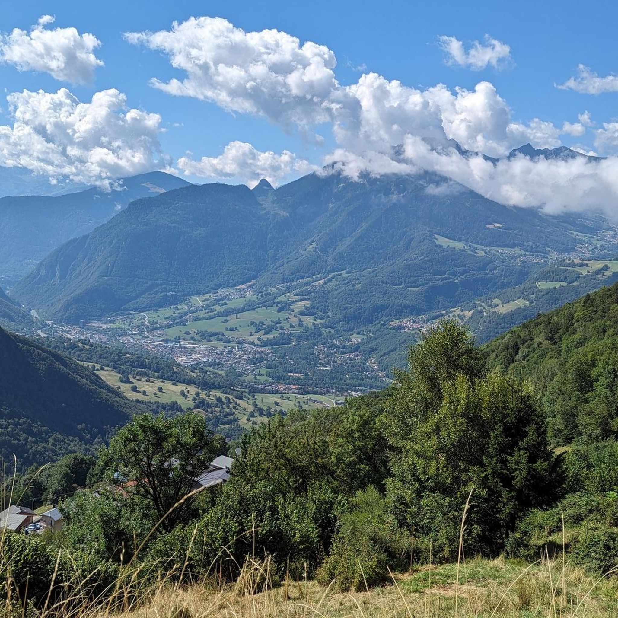
Hiking in Forêt Du Darbelay, located within France's Beaufortain region near Albertville, offers a diverse range of trails. The area is characterized by serene forests, majestic ridges, and high-altitude lakes, providing varied terrain for outdoor activities. This region presents a blend of challenging mountain paths and more leisurely walks, catering to different experience levels.
Best hiking trails in Forêt Du Darbelay
- The most popular hiking route is Col de l'Arc – Mont Bellacha loop from Feissons-sur-Isère, a 11.8 miles…
Last updated: July 1, 2026
17
hikers
19.0km
08:27
1,680m
1,680m
Hard hike. Very good fitness required. Mostly accessible paths. Sure-footedness required.
4.3
(4)
11
hikers
3.51km
01:03
120m
120m
Easy hike. Great for any fitness level. Easily-accessible paths. Suitable for all skill levels.

Sign up for free
4.0
(1)
6
hikers
6.47km
02:14
310m
310m
Moderate hike. Good fitness required. Mostly accessible paths. Sure-footedness required.
18
hikers
10.9km
04:09
740m
740m
Moderate hike. Good fitness required. Mostly accessible paths. Sure-footedness required.
4
hikers
3.64km
01:34
320m
310m
Moderate hike. Good fitness required. Mostly accessible paths. Sure-footedness required.
Get access to more routes and recommendations from other explorers.
Sign up for free
Already have an account?
Our route recommendations are based on thousands of hikes, rides, and runs completed by other people on komoot.
Start today with a free account
Your next adventure awaits.
Login or Signup


Tips from the Community

very beautiful ruins to see while passing through the area
0
0

Magnificent view, from the Mont Blanc Massif to Les Écrins via Belledone. A geodesic point is present at the summit
1
0


Beautiful passage between Rognaix and Chapelle Notre-Dame des Neiges
4
0
Frequently Asked Questions
How many hiking trails are available in Forêt Du Darbelay?
Forêt Du Darbelay offers a wide selection of hiking routes, with over 230 trails recorded on komoot. These range from easy strolls to challenging mountain expeditions, catering to all experience levels.
What are the typical difficulty levels for hikes in Forêt Du Darbelay?
The trails in Forêt Du Darbelay are quite diverse. You'll find approximately 70 easy routes, 102 moderate paths, and 58 more difficult hikes. This variety ensures options for casual walkers and experienced mountaineers alike.
Are there family-friendly hiking options in Forêt Du Darbelay?
Yes, the region offers several family-friendly walks. Many routes wind around serene high-altitude lakes like Lac de Brassa, which is ideal for families. Shorter, easier trails such as the Domaine des Ardoisieres loop from Cevins provide accessible options for all ages.
Which trails offer the most scenic views in Forêt Du Darbelay?
For breathtaking panoramas, consider routes that lead to Mont Bellacha, which offers expansive views spanning from the Mont Blanc Massif to Les Écrins. The Col de l'Arc – Mont Bellacha loop from Feissons-sur-Isère is a challenging option that rewards hikers with these spectacular vistas. La Roche Parstire is also renowned for offering one of the most beautiful views in the region, encompassing Lake Roselend and the Arêches Valley.
Are there circular hiking routes available in Forêt Du Darbelay?
Yes, many of the trails in Forêt Du Darbelay are designed as circular routes, allowing you to start and end at the same point. Examples include the Col de l'Arc – Mont Bellacha loop from Feissons-sur-Isère and the Col de l'Arc loop from Pussy, offering varied distances and difficulties.
What natural features or landmarks can I see while hiking in the region?
The region is rich in natural beauty. You can explore pristine high-altitude lakes such as Lac du Clou, Lac Saint-Guérin (known for its impressive Himalayan footbridge), and Lac d'Amour. Majestic ridges, serene forests, and the dramatic alpine scenery are constant companions. The Cormet d'Arêches and Cormet de Roselend passes also offer spectacular panoramas.
When is the best time of year to hike in Forêt Du Darbelay?
The best time to hike generally depends on your preference. Summer brings flower-filled mountain pastures and pleasant temperatures for high-altitude trails. Autumn offers vibrant foliage. While winter hiking is possible, conditions can be challenging with snow-dusted peaks, requiring appropriate gear and experience.
Are there any historical sites or cultural attractions along the trails?
Beyond natural beauty, the area offers cultural points of interest. You can explore the picturesque ruins of Château de Chantemerle, which is featured on the Château de Chantemerle – Idyllic river course loop from Tours-en-Savoie. The intriguing 'Priest's Path' carved into rock along gorges is another unique experience. The broader Savoie region also boasts baroque buildings, such as the Sainte Agathe church in Queige.
What do other hikers enjoy most about Forêt Du Darbelay?
The area is highly rated by the komoot community, with an average score of 4.5 stars from over 650 reviews. Hikers often praise the diverse terrain, from serene forests to majestic alpine ridges, and the stunning high-altitude lakes. The variety of routes catering to all abilities is also a frequently mentioned highlight.
Is it possible to hike with dogs in Forêt Du Darbelay?
While specific regulations for dogs can vary by trail or protected area, generally, dogs are welcome on many trails in Forêt Du Darbelay, especially if kept on a leash. It's always advisable to check local signage for any restrictions, particularly in nature reserves or near grazing livestock.
Are there any places to eat or stay near the hiking trails?
Yes, the region offers options for amenities. The Col de l'Arc features a well-situated refuge for overnight stays, perfect for longer hikes. The nearby town of Beaufort provides opportunities to experience local culture, including tasting the famous Beaufort cheese and visiting its dairy cooperative and museum, where you can find local eateries.
How can I get to Forêt Du Darbelay by public transport?
Access to Forêt Du Darbelay by public transport can be limited, as is common in many alpine regions. While major towns like Albertville are accessible by train, reaching specific trailheads often requires a car. It's recommended to check local bus schedules for connections from larger towns to smaller villages near the forest, but direct routes to all trailheads may not be available.
Is parking available at the trailheads in Forêt Du Darbelay?
Parking availability varies by trailhead. Many popular starting points for hikes will have designated parking areas, though these can fill up quickly during peak season. For less frequented trails, roadside parking might be an option. Always ensure you park legally and do not obstruct access for residents or emergency services.
Most popular routes in Forêt Du Darbelay

Get inspired with the komoot mobile app


Explore more
Browse the best Hikes in other regions.
