Top 7 Mountain Passes around Pagnona
Mountain passes around Pagnona, a municipality in Lombardy, Italy, are characterized by scenic mountain trails and routes leading to high-altitude refuges and peaks. The area is known for its historical military roads, such as the one leading to Bocchetta Alta di Legnone, offering challenging ascents and panoramic vistas. These routes provide access to the Monte Legnone massif and offer views of Lake Como and the surrounding alpine landscape. The terrain includes varied gradients, from steep direct trails to longer paths…
Last updated: September 29, 2026
Traverse to Passo del Larice Bruciato
Highlight • Trail
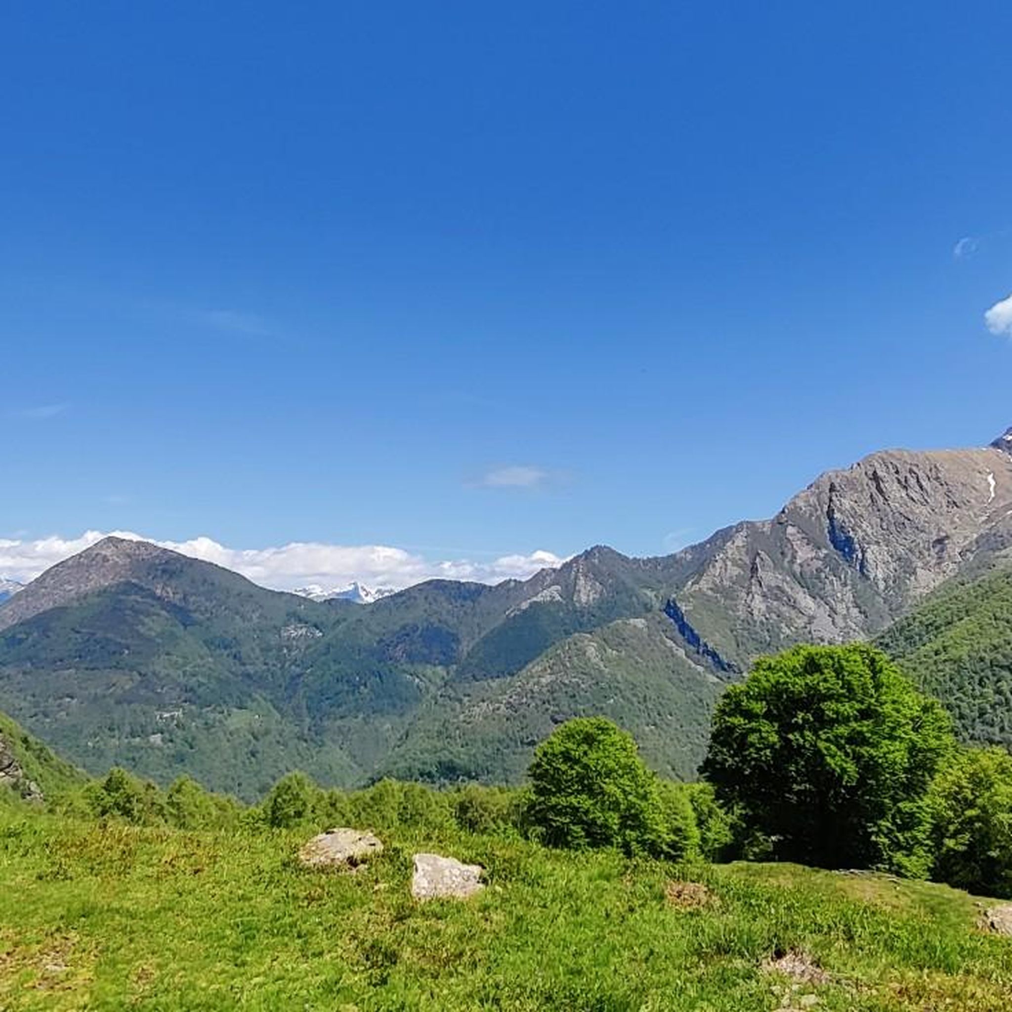
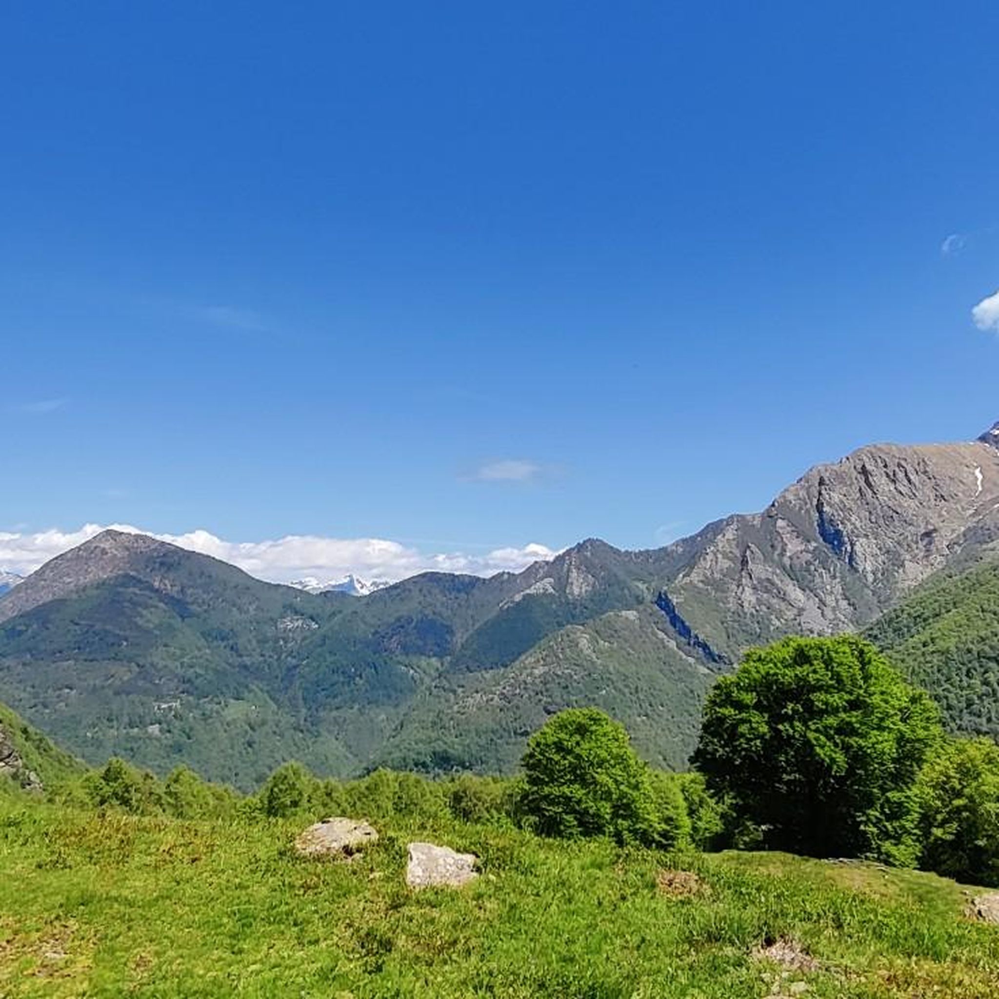
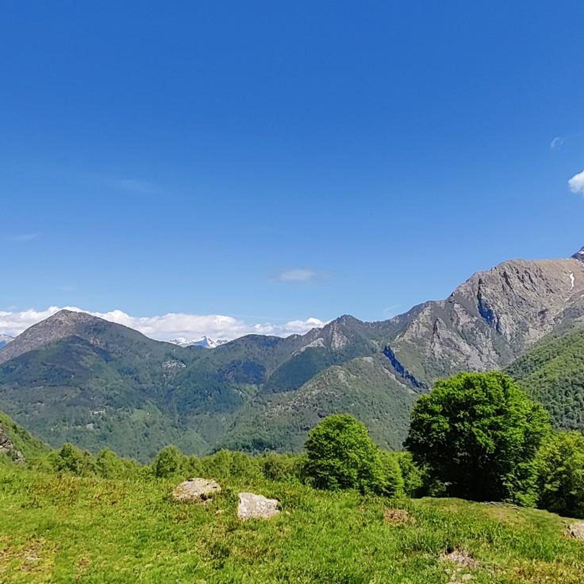
Panoramic path towards Larice Bruciato
Translated by Google •
Tip by

Stavello Pass
Highlight • Mountain Pass
Translated by Google •
Tip by

Sign up now to discover places like this
Get recommendations on the best single tracks, peaks, & plenty of other exciting outdoor places.
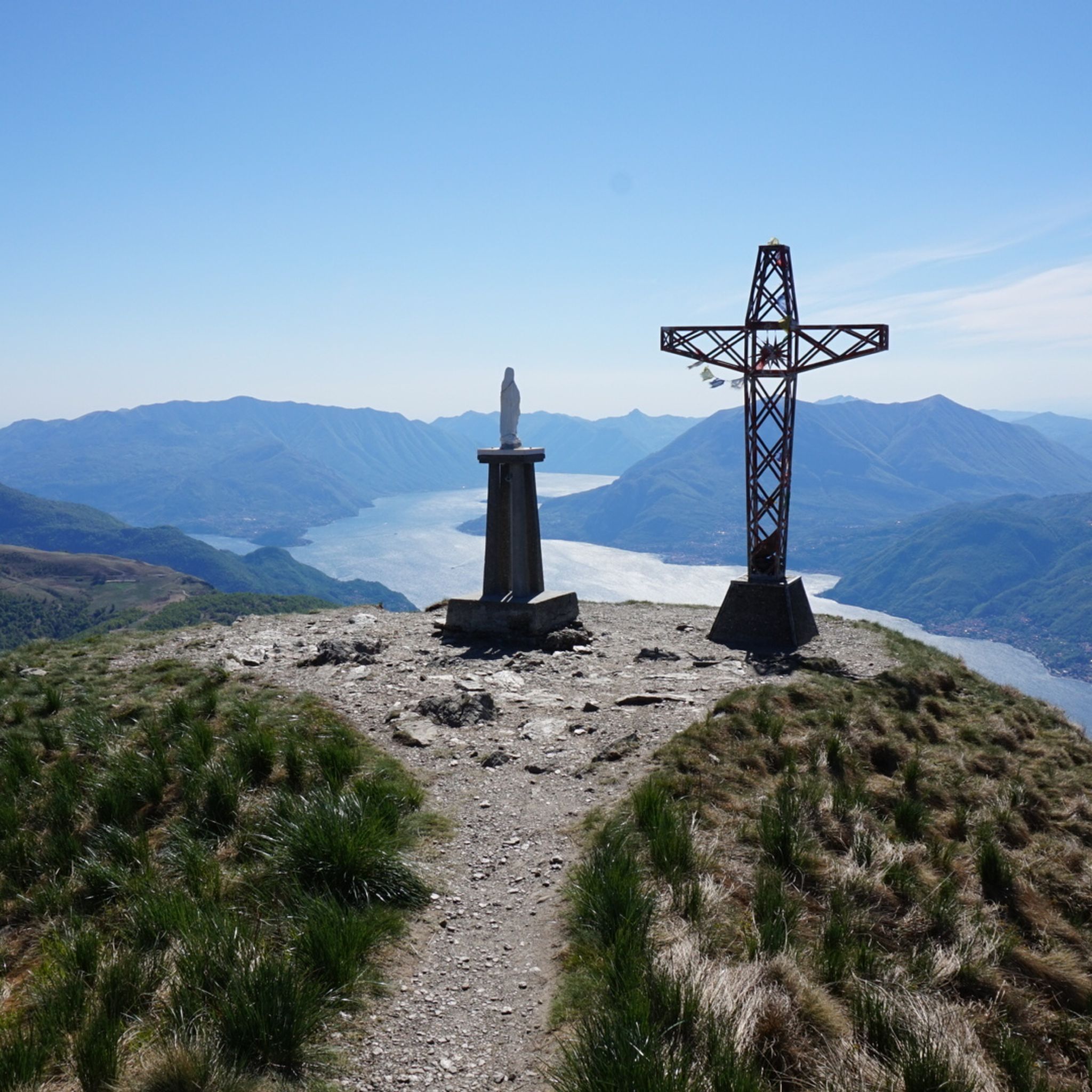
View of Lake Como from Passo Agueglio
Highlight • Viewpoint
Translated by Google •
Tip by

Passo di Agueglio
Highlight (Segment) • Mountain Pass
Translated by Google •
Tip by

Northern Grigna (Rifugio Brioschi)
Highlight • Mountain Hut
Translated by Google •
Tip by

Sign up for free to discover even more mountain passes around Pagnona.
Already have an account?
Start today with a free account
Your next adventure awaits.

Tips from the Community

The Stravello pass is the connection between the two valleys
0
0

Panoramic trail to Larice Bruciato https://youtu.be/TQC128VMamg
5
0

fun passage on rocks in the area of the electricity pylons above the road, to follow it you have to stay on the ridge path and then go down onto the rocks below in correspondence with the pylons
0
1

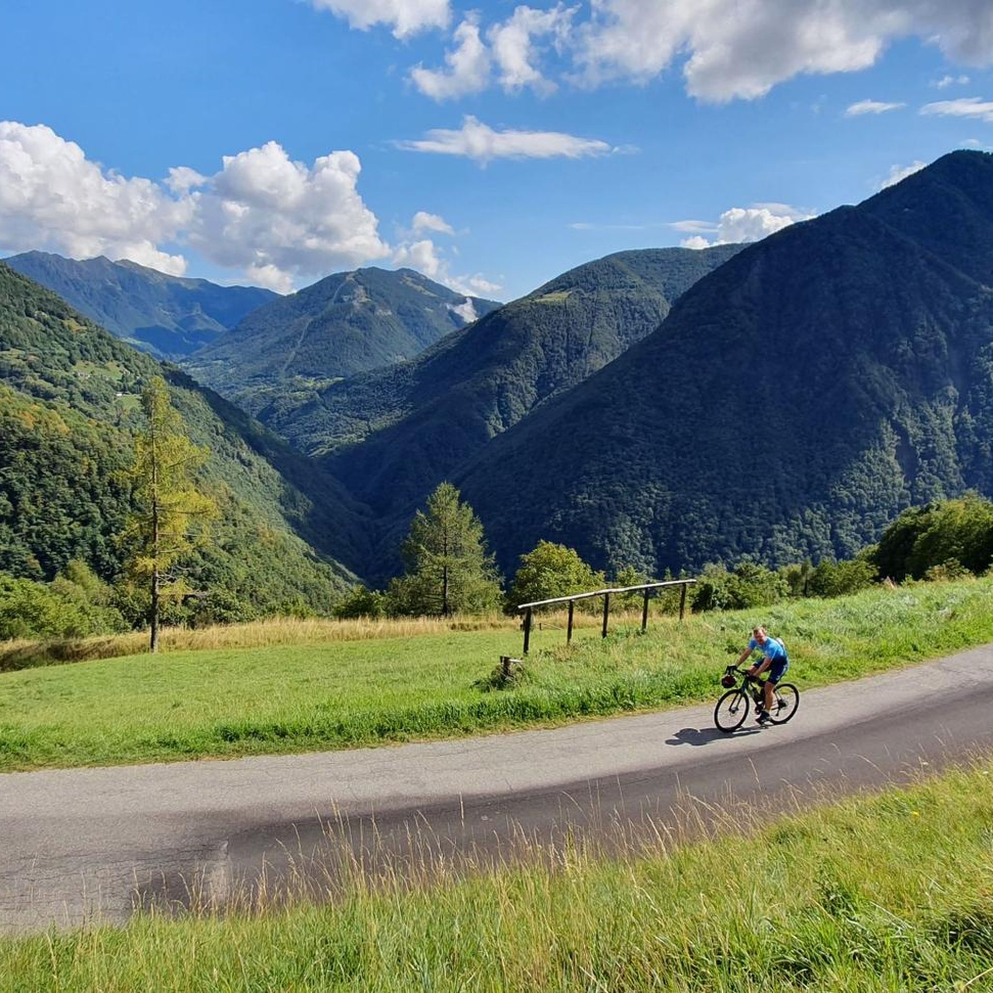
The climb to the Passo di Agueglio starts from Varenna on Lake Como. It is about 17 kilometers long with 1000 meters of elevation gain, follows a road that is sometimes narrow and passes through the town of Esino Lario. It has some ramps in double figures but in general it is a rideable climb that offers beautiful views of the Lario.
0
0

Refuge easily accessible even in winter.
1
0
Spectacular refuge in a wonderful place. In winter it is fantastic! Very popular, always being on the ring road by how many people are climbing. Steep climb, the famous wailing wall, it just takes a bit of training and perseverance. The refuge is welcoming, managed by very welcoming and kind guys. Sunset and sunrise are wonderful.
1
0

The most iconic refuge in the Lecco area (perhaps along with the Azzoni on the Resegone) reachable by taking dozens of routes, in all seasons, choosing between various degrees of technical difficulty or fitness, even though the elevation gain is never small.
1
0

Northern Grigna - Grignone 2410m
0
0
Frequently Asked Questions
What are some of the most scenic mountain passes and viewpoints around Pagnona?
The region offers breathtaking vistas. For stunning views of Lake Como, consider the View of Lake Como from Passo Agueglio. From Rifugio Griera, accessible via trails from Pagnona, you can marvel at the Monte Legnone massif, the Valtellina, Swiss Alps, and on clear days, even the Monte Rosa chain and Matterhorn. The Passo di Agueglio also provides beautiful views of the Lario.
Are there mountain passes around Pagnona with historical significance?
Yes, the area is rich in history. The Bocchetta Alta di Legnone, for instance, is reached via a historic military road constructed between 1915 and 1917. Additionally, Stavello Pass features remains from the First World War front, offering a glimpse into the past alongside beautiful mountain views.
What kind of hiking trails can I find near the mountain passes in Pagnona?
Pagnona is known for its diverse hiking opportunities. You can find trails leading to high-altitude refuges like Rifugio Griera, with options ranging from the steep 'Direttissima' trail to a longer, more gradual former military road. For more detailed hiking routes, explore the Running Trails around Pagnona guide, which includes routes like the Rifugio Griera loop.
What is the best time of year to visit the mountain passes around Pagnona?
The best time to visit for hiking and cycling is generally from late spring to early autumn (May to October) when the weather is milder and the trails are clear of snow. During these months, you'll experience pleasant temperatures and optimal conditions for enjoying the panoramic views and outdoor activities.
Are there challenging routes for experienced cyclists or hikers?
Absolutely. The historic military road leading to Bocchetta Alta di Legnone, with its 44 hairpin turns and consistent gradient, offers a significant challenge for cyclists. For hikers, the 'Direttissima' trail to Rifugio Griera is a shorter but steeper and more demanding ascent. The Monte Legnone Military Road is also noted as a challenging, high-alpine route suitable for experienced mountain bikers.
What natural features can I expect to see when exploring the mountain passes?
The region boasts diverse natural beauty. You'll encounter dense woodlands, alpine meadows, and rugged mountain terrain. From higher elevations, you can enjoy expansive views of Lake Como, the Valtellina valley, and various mountain ranges including the Monte Legnone massif and the Grigne group. Water sources are also present, such as at Stavello Pass.
Are there any family-friendly trails or activities near Pagnona's mountain passes?
While many routes in the immediate vicinity of Pagnona's passes can be challenging, the former military road leading to Rifugio Griera offers a longer but more manageable gradient due to its wide hairpin bends, which might be suitable for families seeking a less strenuous climb. Always check specific trail conditions and difficulty ratings before heading out with children.
What other outdoor activities can I do near the mountain passes in Pagnona?
Beyond hiking, the area is excellent for various cycling disciplines. You can find numerous routes for gravel biking, road cycling, and mountain biking. Explore guides like Gravel biking around Pagnona or Road Cycling Routes around Pagnona for specific tour suggestions.
Where can I find parking or public transport options to access the mountain passes?
Pagnona itself is a small municipality. While specific parking information for trailheads might vary, generally, visitors drive to the starting points of trails. Public transport to Pagnona is limited, so having a car is often recommended for convenient access to the various mountain passes and trailheads in the surrounding Valvarrone valley.
What do visitors enjoy most about the mountain passes around Pagnona?
Visitors frequently highlight the incredible panoramic views, especially those overlooking Lake Como and the surrounding alpine landscape. The challenging yet rewarding climbs, the historical significance of the old military roads, and the sense of accomplishment upon reaching high-altitude viewpoints or refuges are also highly appreciated.
Can I bring my dog on the hiking trails near Pagnona's mountain passes?
Many trails in the Italian Alps are dog-friendly, but it's always advisable to keep dogs on a leash, especially in areas with livestock or wildlife. Specific rules can vary, so check local signage or contact the Valvarrone tourist information for any particular regulations regarding dog access on certain trails or in protected areas.
Are there any refuges or places to rest along the mountain pass routes?
Yes, a notable refuge is Rifugio Griera, located at 1734 meters above sea level, which serves as a popular destination and resting point for hikers. It offers stunning views and is accessible via a couple of distinct trails from Pagnona.
Most popular routes around Pagnona
Most popular attractions around Pagnona

Get inspired with the komoot mobile app


Explore more
See even more epic mountain passes by checking out these guides around Pagnona:
