The best walks and hikes around Pagnona
4.5
(9873)
47,864
hikers
497
hikes
Hiking around Pagnona offers diverse landscapes, from challenging mountain ascents to serene forest paths. The region is characterized by its mountainous terrain, featuring varied elevations and panoramic views of the surrounding area, including Lake Como and the Alps. Trails often wind through dense forests and open meadows, leading to alpine lakes and historical sites. This area provides a range of experiences for hikers of all abilities.
Best hiking trails around Pagnona
- The most popular hiking route is Rifugio Griera Loop…
Last updated: October 10, 2026
4.6
(37)
227
hikers
11.9km
04:42
810m
810m
Moderate hike. Good fitness required. Mostly accessible paths. Sure-footedness required.
4.6
(24)
132
hikers
14.1km
08:01
1,440m
1,440m
Hard hike. Very good fitness required. Sure-footedness, sturdy shoes and alpine experience required.

4.4
(7)
55
hikers
12.7km
07:17
1,330m
1,320m
Hard hike. Very good fitness required. Sure-footedness, sturdy shoes and alpine experience required.
4.7
(7)
63
hikers
6.48km
04:16
870m
850m
Moderate hike. Good fitness required. Mostly accessible paths. Sure-footedness required.
4.9
(18)
62
hikers
17.5km
06:42
870m
880m
Hard hike. Very good fitness required. Mostly accessible paths. Sure-footedness required.
Get access to more routes and recommendations from other explorers.
Already have an account?
Our route recommendations are based on thousands of hikes, rides, and runs completed by other people on komoot.
Start today with a free account
Your next adventure awaits.

Tips from the Community

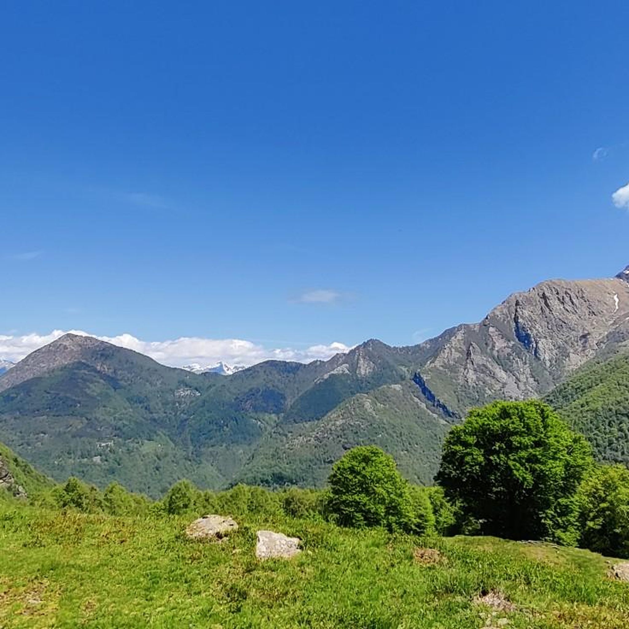
A beautiful and safe trail, from beech trees to larches, emerging onto a very scenic mountain pasture.
0
0

A very beautiful and challenging via ferrata, some sections are exposed and difficult, similar to an easy via ferrata. I don't recommend taking dogs; if you do, it's best to bring a harness and a lanyard to secure yourself and your dog. In winter, I recommend both crampons and a via ferrata kit.
0
0

Very beautiful but challenging route for experts
0
0

One of the best hike I’ve had so far. The view of the Como Lake all the way to Lugano is breathtaking. In rifugio Griera the food is great, totally recommend stopping by on your way up to the peak
1
0

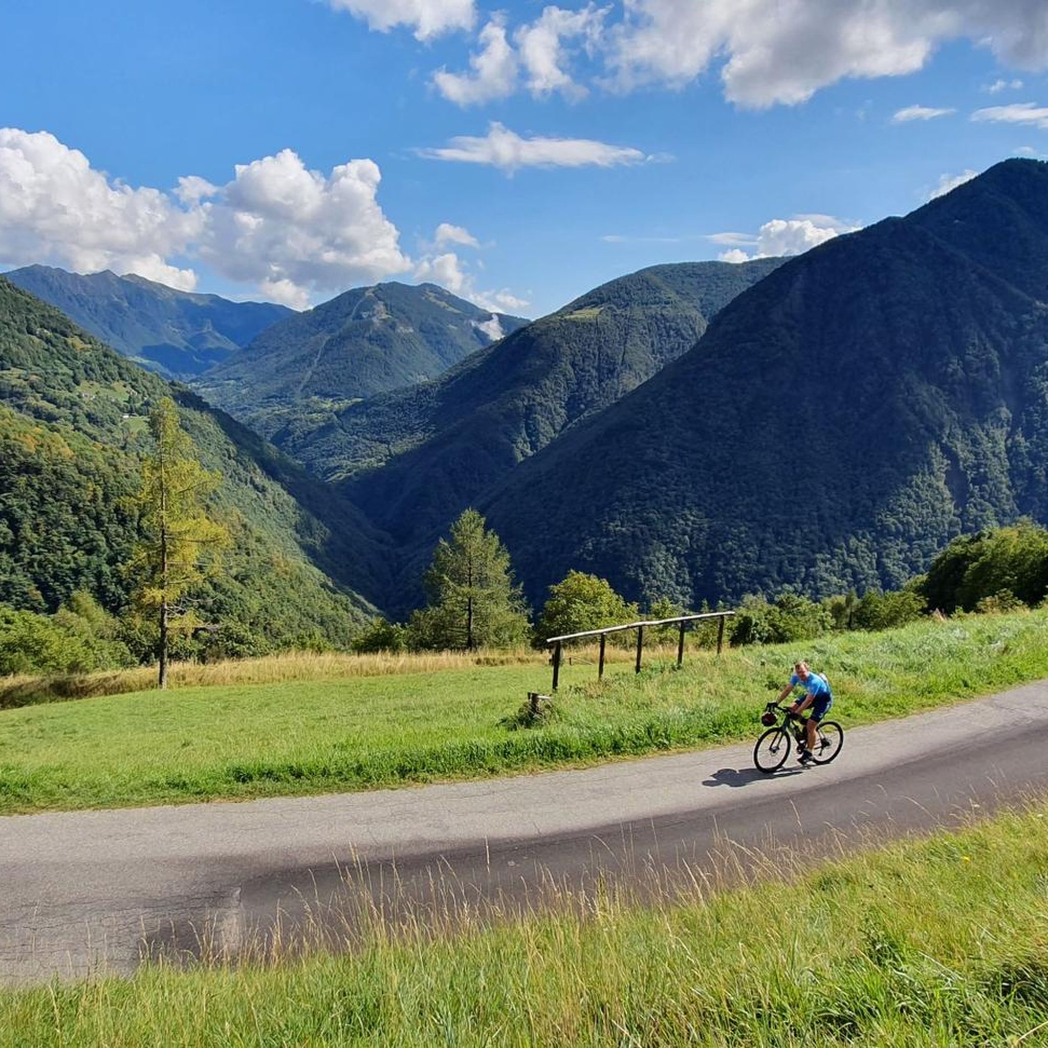
Beautiful village in Valsassina and from here various paths start
0
0
Path that from the first lake leads to the two following lakes to be tackled only if sure, no dogs
0
0

Refugio before the pass to Mt. Legnone. Overnight accommodation possible. The locals drive up to here by car. Unfortunately, I didn't ask if there is electricity to charge the battery.
1
1

A beautiful mountain hut that can be found on the path that leads to the Griera refuge.
1
0
Frequently Asked Questions
What types of terrain can I expect on hikes around Pagnona?
Hiking around Pagnona offers a diverse range of landscapes. You'll find mountainous terrain with varied elevations, from gradual ascents to steep climbs. Many trails wind through dense forests, providing shade, while others feature climbs through open meadows. The region also boasts historical military mule tracks and roads, adding a unique element to the experience.
Are there hiking trails suitable for families with children in Pagnona?
Yes, Pagnona caters to various fitness levels, including options suitable for families. While specific 'family-friendly' routes aren't detailed, the region offers easy paths that involve up to 2 hours of hiking and around 300 meters (1,000 feet) of elevation gain, which are generally suitable for all fitness levels, including families. Look for routes described as 'easy' on komoot.
Can I bring my dog on the hiking trails in Pagnona?
Generally, dogs are welcome on hiking trails in the Lombardy region, including Pagnona, provided they are kept under control, often on a leash, and that you clean up after them. It's always a good idea to check specific trail regulations or local signage, especially in protected areas, but most natural trails are dog-friendly.
What are some notable landmarks or viewpoints I can see while hiking in Pagnona?
Pagnona offers stunning viewpoints and historical landmarks. Many trails provide panoramic views of Lake Como and the Alps. You can also explore historical WWI military mule tracks, such as those leading through Val Fraina to the wartime ruins of Bocchetta di Stavello. For impressive vistas, consider routes leading towards Monte Legnone, the highest mountain in the Lecco area, which offers views of Lake Como and even Lake Lugano. You can also visit nearby attractions like the Castello Rezzonico or the Andreani Castle.
Are there any circular hiking routes available in Pagnona?
Yes, Pagnona offers circular hiking routes. A popular example is the Rifugio Griera Loop from Pagnona, which is a moderate 11.9 km (7.4 miles) trail offering impressive vistas of Lake Como and the Alps. This type of route allows you to start and end in the same location without retracing your steps.
What is the best time of year to go hiking in Pagnona?
The best time to hike in Pagnona is typically from spring through autumn (May to October) when the weather is milder and trails are generally clear of snow. During these months, you can enjoy the diverse landscapes, from forests to alpine meadows, and take advantage of the longer daylight hours. Some higher altitude routes, especially those leading to Monte Legnone, might still have snow earlier in spring or later in autumn.
How many hiking trails are there around Pagnona?
There are over 490 hiking routes available around Pagnona on komoot, catering to a wide range of abilities. This includes approximately 110 easy routes, over 230 moderate routes, and around 140 difficult trails, ensuring there's something for every hiker.
What do other hikers enjoy most about hiking in Pagnona?
The area is highly rated by the komoot community, with an average score of 4.5 stars from over 8,000 reviews. Reviewers often praise the diverse landscapes, the stunning panoramic views of Lake Como and the Alps, and the variety of trails that cater to different difficulty levels. The presence of historical military tracks also adds a unique cultural dimension to the hiking experience.
Are there any challenging hikes for experienced trekkers in Pagnona?
Absolutely. Pagnona offers numerous challenging routes for experienced trekkers. For example, the Laghi Deleguccio – tour starting from Premana is a difficult 14.1 km (8.7 miles) path featuring significant elevation gain and leading to alpine lakes. Another demanding option is the Premana to Pizzo Alto via Deleguaccio Lakes, which involves chains and scrambles to reach panoramic summits.
What is the typical duration for hikes in Pagnona?
Hike durations in Pagnona vary significantly based on difficulty and length. Easy paths can take up to 2 hours, while moderate hikes might last up to 5 hours. More challenging trails, such as the Laghi Deleguccio – tour starting from Premana, can take over 8 hours to complete due to significant elevation gain and distance.
Are there mountain huts or refuges along the hiking trails in Pagnona?
Yes, the region around Pagnona features several mountain huts that can serve as destinations or rest stops. Notable huts include Roccoli Lorla Hut, Riva Hut, and Grassi Hut. Rifugio Griera is a significant attraction, reachable via routes like the Pagnona to Rifugio Griera (via CAI trail 630).
Is public transport available to reach hiking trailheads near Pagnona?
While Pagnona is a smaller mountain village, public transport options in the wider Lombardy region can connect you to nearby towns. However, direct public transport to specific trailheads within the mountainous areas might be limited. It's advisable to check local bus schedules or consider driving to reach the starting points of many hikes.
Most popular routes around Pagnona
Most popular attractions around Pagnona

Get inspired with the komoot mobile app


Explore more
Browse the best Hikes in other regions.
