The best running trails in Pocahontas County
3.2
(4)
32
runners
7
runs
Jogging in Pocahontas County offers extensive routes through West Virginia's mountainous terrain and dense forests. The region is characterized by rugged mountains, vast public lands, and numerous rivers, providing diverse backdrops for running. Trails often follow riverbeds, traverse woodlands, and offer views of the rolling highlands of the Allegheny Mountains. This landscape provides varied surfaces and elevation changes suitable for different running preferences.
Best jogging routes in Pocahontas County
- The most popular jogging route is Snowshoe Bike Park loop from…
Last updated: July 3, 2026
6
runners
10.1km
01:04
130m
130m
Moderate run. Good fitness required. Mostly paved surfaces. Suitable for all skill levels.
5
runners
26.0km
03:21
780m
780m
Hard run. Very good fitness required. Mostly paved surfaces. Suitable for all skill levels.
2
runners
6.13km
00:44
30m
30m
Moderate run. Good fitness required. Mostly paved surfaces. Suitable for all skill levels.
Get access to more routes and recommendations from other explorers.
Sign up for free
Already have an account?
Our route recommendations are based on thousands of hikes, rides, and runs completed by other people on komoot.
Start today with a free account
Your next adventure awaits.
Login or Signup
Popular around Pocahontas County
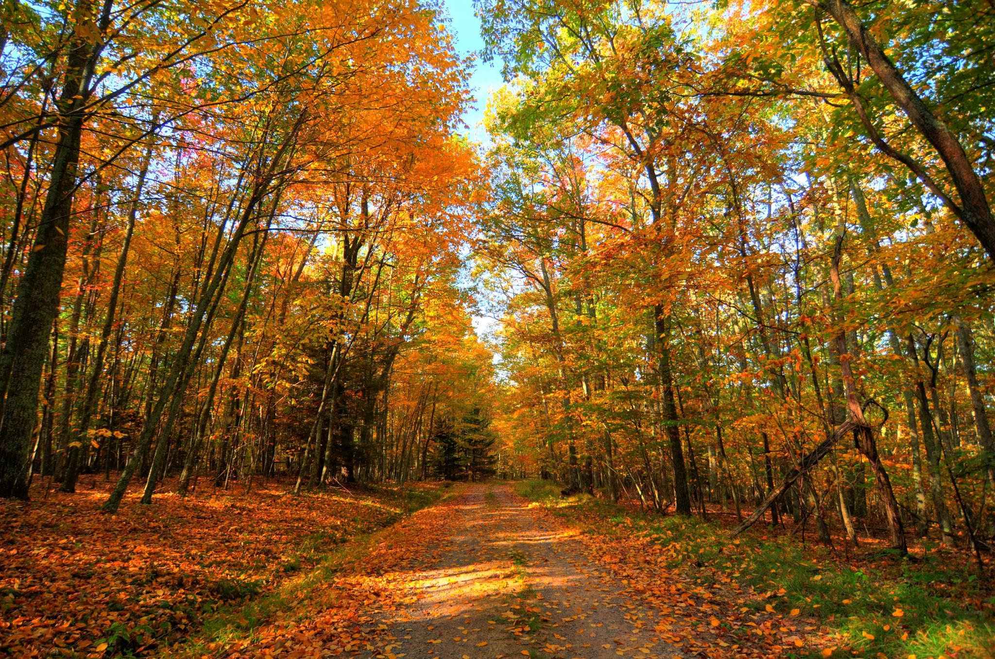
Greenbrier River & Allegheny Highlands loop — Cycling through the heart of West Virginia’s wild beauty
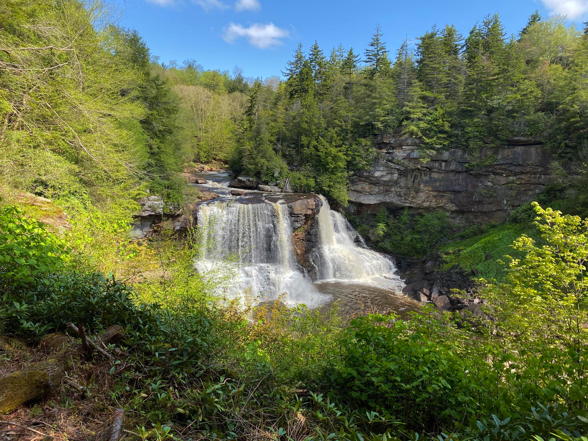
Allegheny Trail — A remote Appalachian adventure
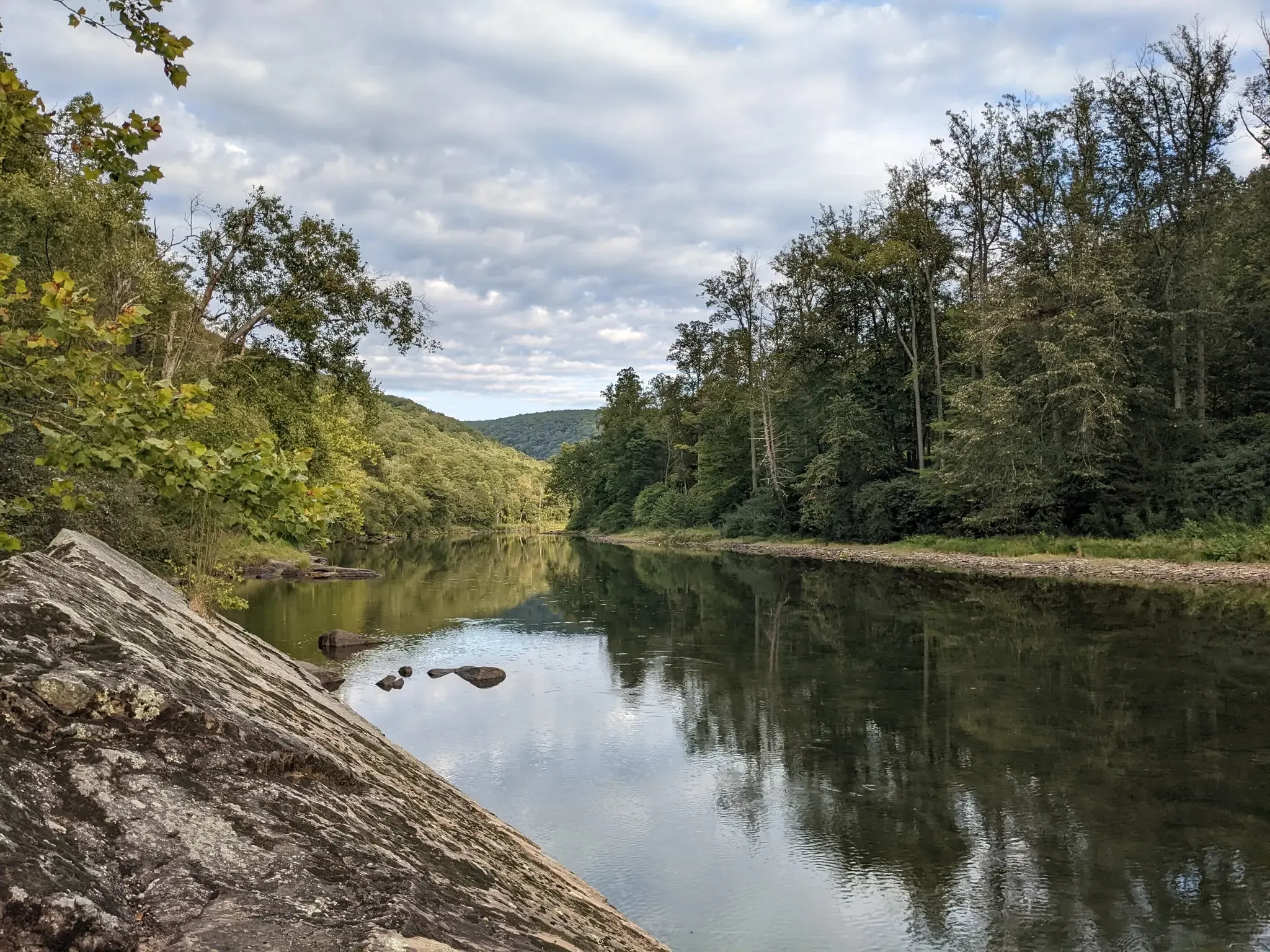
Greenbrier River Trail — Biking West Virginia's Longest Rail Trail
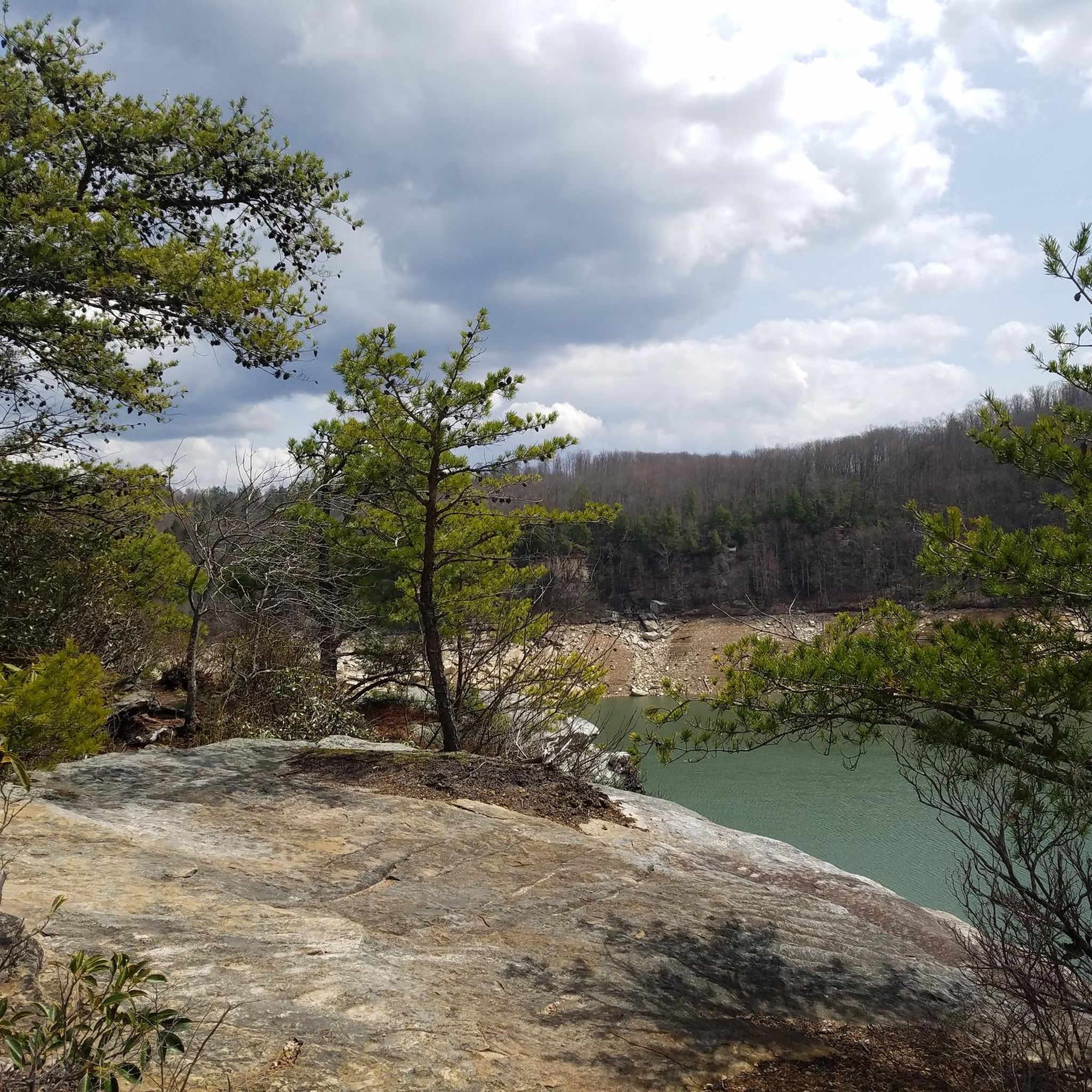
Hiking in Pocahontas County
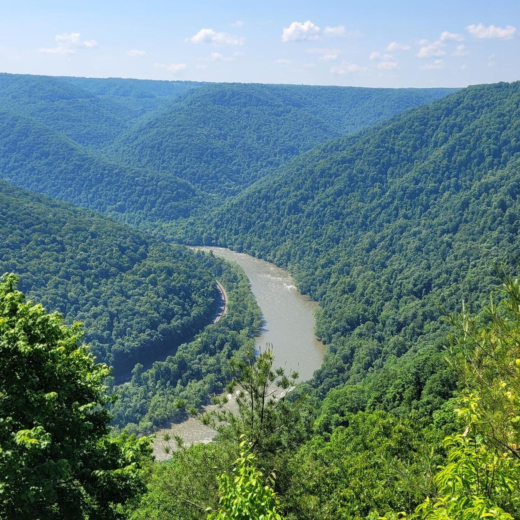
Cycling in Pocahontas County
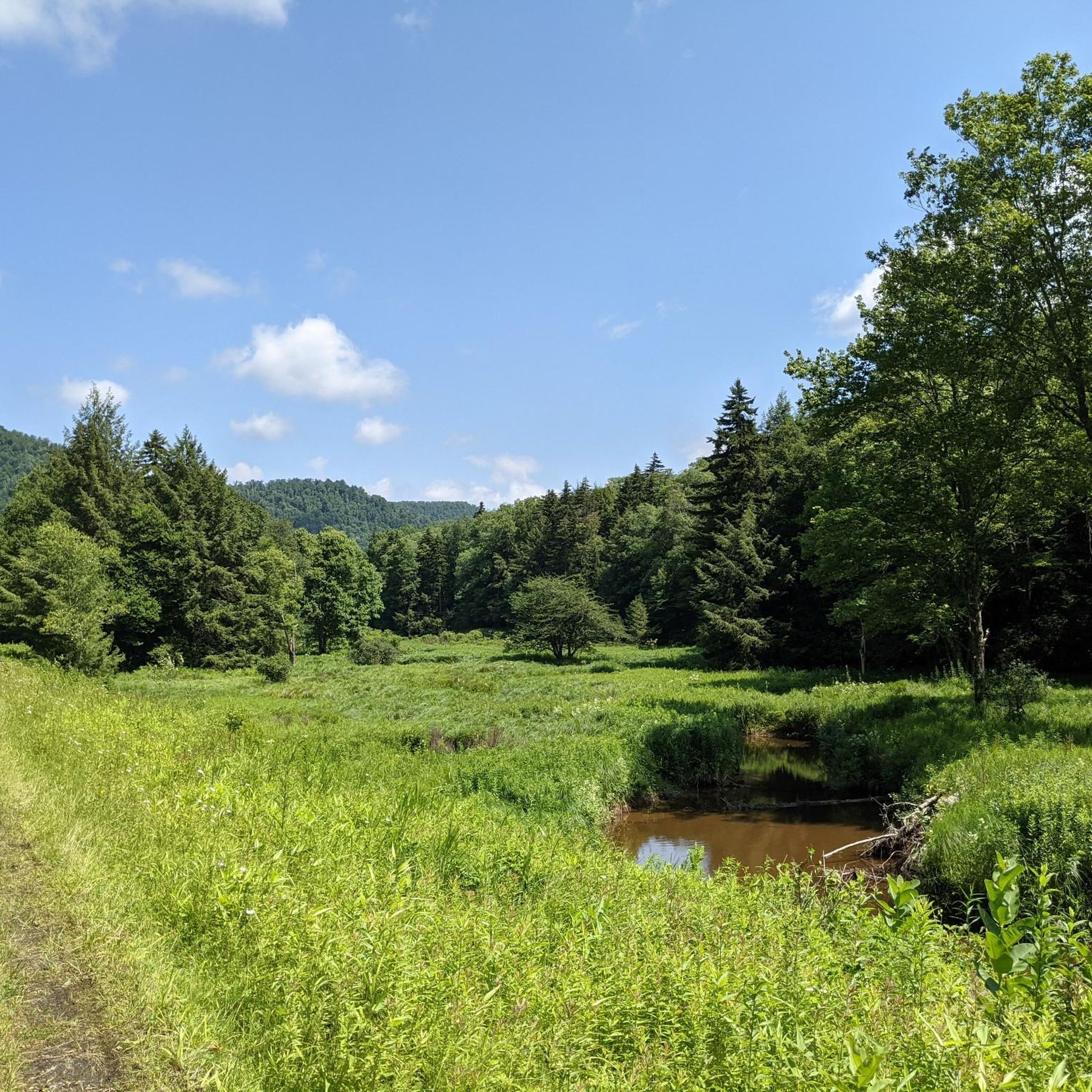
MTB Trails in Pocahontas County

Road Cycling Routes in Pocahontas County

Gravel biking in Pocahontas County
Other adventures in Pocahontas County


Tips from the Community

Once a year, the small mountain town in West Virginia captures the full attention of the entire mountain biking community. As host of the UCI Mountain Bike World Cups for downhill, cross-country and short track racing, Snowshoe welcomes the mountain biking elite for the fourth time next year in September 2023.
1
0
Frequently Asked Questions
How many running routes are available in Pocahontas County?
Pocahontas County offers a variety of running routes, with over 7 curated tours available on komoot. These range from moderate loops to more challenging mountain trails, ensuring options for different ability levels.
Are there any easy or moderate jogging routes for beginners or casual runners?
Yes, while many routes are challenging, there are moderate options perfect for casual runners. For example, the Lake Sherwood loop from Sharps Trace is a moderate 3.8-mile path offering a scenic loop around the lake. The Greenbrier River Trail, though not specifically listed as a komoot tour here, is also known for its mostly flat, graveled path, ideal for an easier run.
What kind of terrain can I expect on running trails in Pocahontas County?
You can expect a diverse range of terrain. The region is characterized by rugged mountains and dense forests, so many trails traverse woodlands and offer elevation changes. You'll find paths along riverbeds, such as those near the Greenbrier River, and more challenging mountain environments like the Snowshoe Bike Park area. Surfaces can vary from paved and graveled rail trails to natural forest paths.
Are there any long-distance running trails in the area?
Pocahontas County is home to several extensive trail systems. The Greenbrier River Trail is a notable 78-mile rail trail, West Virginia's longest, offering continuous scenic views. Additionally, sections of the 311-mile Allegheny Trail pass through the county, providing opportunities for remote Appalachian adventures.
What do other runners enjoy most about jogging in Pocahontas County?
The running routes in Pocahontas County are highly rated by the komoot community, with an average score of 3.2 stars. Runners often praise the diverse landscapes, from dense forests and river valleys to challenging mountain environments, which provide varied and scenic backdrops for their runs.
Can I find running routes that are suitable for families or those with children?
While specific family-friendly komoot routes are not highlighted in the guide, the region offers options that can be adapted. The Greenbrier River Trail, with its mostly flat and wide path, is generally suitable for families. Additionally, the Cranberry Glades Botanical Area features an easy boardwalk loop that offers a unique and accessible outdoor experience.
Are there any dog-friendly running routes in Pocahontas County?
Many trails within the Monongahela National Forest and state parks in Pocahontas County are dog-friendly, provided your pet is on a leash. Always check specific park regulations before heading out, but generally, the extensive network of trails offers plenty of space for you and your canine companion to enjoy a run together.
What are some notable natural features or landmarks I might see while running?
Pocahontas County is rich in natural beauty. You might encounter unique geological formations at Beartown State Park, or the picturesque Cass Scenic Railroad State Park. The region is also the headwaters for eight Mountain State rivers, offering lush, riverside trails. For a stunning natural spectacle, the Falls of Hills Creek feature a series of three waterfalls, with the largest dropping 65 feet.
Are there any running routes that offer scenic viewpoints or panoramic vistas?
Absolutely. The region's rugged mountains provide numerous opportunities for scenic views. Gaudineer Knob, for instance, offers panoramic views of the rolling West Virginia highlands. The Highland Scenic Highway, a 43-mile parkway within the Monongahela National Forest, also provides dazzling vistas that can be incorporated into a run or enjoyed from nearby trails.
Are there any circular running routes available?
Yes, several routes offer a loop experience. The Lake Sherwood loop from Sharps Trace is a popular moderate circular path. Additionally, within Watoga State Park, trails like the Pine Run, Ten Acre, and Honeymoon Trail Loop (2.9 miles) are noted as quick adventures perfect for trail running loops.
What is the best time of year for jogging in Pocahontas County?
Pocahontas County offers beautiful running conditions across seasons. Spring and fall provide comfortable temperatures and stunning foliage. Summer is also popular, though some trails might be warmer. Winter running is possible, especially on lower elevation trails, but always check weather conditions and trail accessibility, as higher elevations can experience significant snow.
Where can I find parking or trailhead access for running routes?
Many state parks and national forest areas in Pocahontas County, such as Watoga State Park and Seneca State Forest, offer designated parking areas at trailheads. For the Greenbrier River Trail, the Parks and Recreation office in Marlinton is conveniently located beside the trail, providing easy access. Specific komoot routes like the Snowshoe Bike Park – Slide Run East Trailhead loop from Snowshoe also indicate trailhead starting points.
Most popular routes in Pocahontas County
Most popular attractions in Pocahontas County

Get inspired with the komoot mobile app


Explore more
Browse the best Running Trails & Routes in other regions.
