The best gravel rides in Auburn State Recreation Area
41
riders
6
rides
Gravel biking in Auburn State Recreation Area offers diverse terrain along the North and Middle Forks of the American River. The region is characterized by deep river canyons, rolling hills, and extensive forests, providing varied surfaces for gravel cyclists. Elevations range from river level to higher ridges, with many trails following historic mining roads and fire roads. This landscape provides a mix of challenging climbs and scenic, less technical sections.
Best gravel bike trails in Auburn State Recreation Area
- The…
Last updated: May 25, 2026
8
riders
Hard gravel ride. Very good fitness required. Mostly paved surfaces. Suitable for all skill levels.
6
riders
Moderate gravel ride. Good fitness required. Mostly paved surfaces. Suitable for all skill levels.

Sign up for free
12
riders
76.5km
06:33
1,760m
1,760m
Hard gravel ride. Very good fitness required. Mostly paved surfaces. Suitable for all skill levels.
2
riders
44.6km
03:55
1,300m
1,300m
Hard gravel ride. Very good fitness required. Mostly paved surfaces. Suitable for all skill levels.
6
riders
47.0km
03:16
710m
710m
Hard gravel ride. Very good fitness required. Mostly paved surfaces. Suitable for all skill levels.
Our route recommendations are based on thousands of hikes, rides, and runs completed by other people on komoot.
Start today with a free account
Your next adventure awaits.
Login or Signup
Tips from the Community

The brick tells a fascinating story about a small Gold Rush town that was burnt down and rebuilt multiple times until the gold is running out.
0
0

Colfax sits at an elevation of 2,400 feet between the grasslands of Central California and the mountains of Tahoe. The town is known for its railroad history and outdoor recreation.
0
0
Hidden Falls Regional Park is located within oak woodlands and offers 30 miles of multi-use trails. The park is known for its sweeping views of the Sacramento Valley and the 30-foot Hidden Falls. One thing to keep in mind is that parking reservations are required on weekends and holidays.
1
0

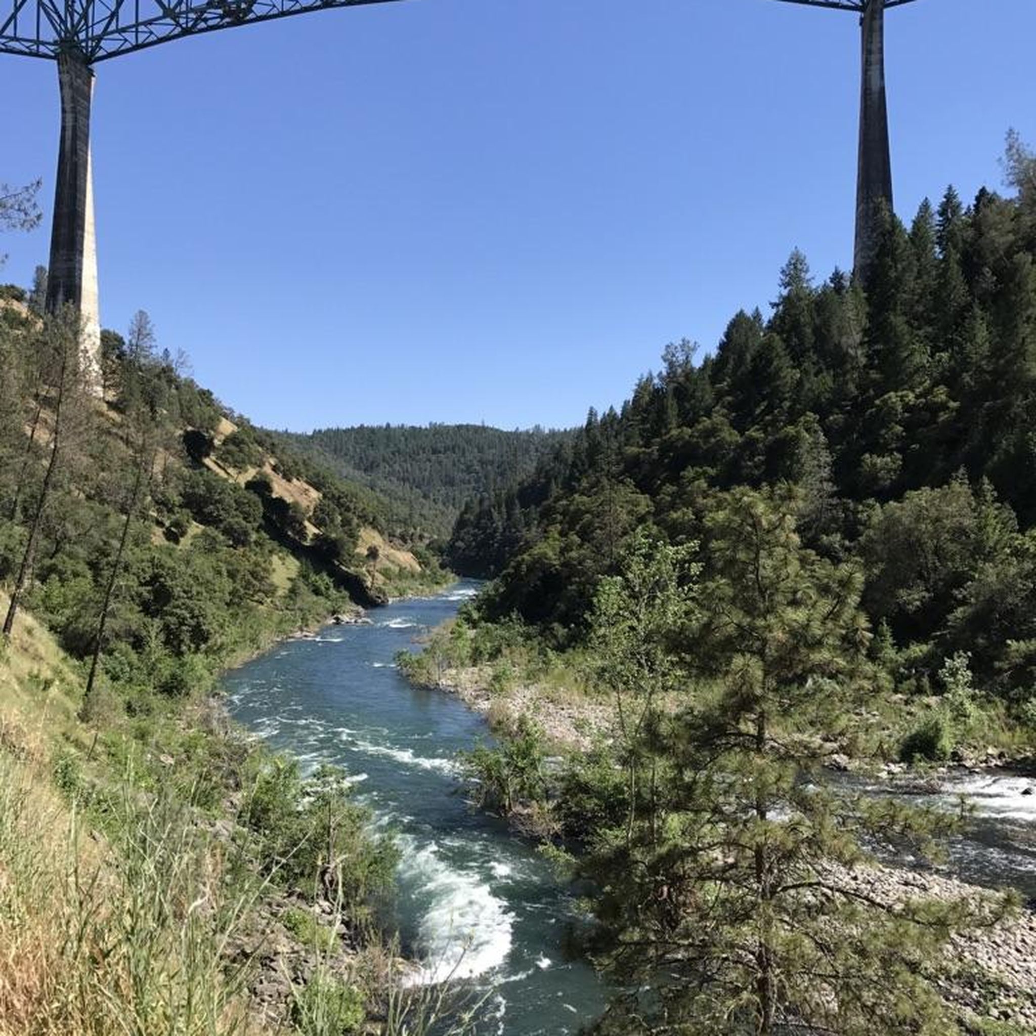
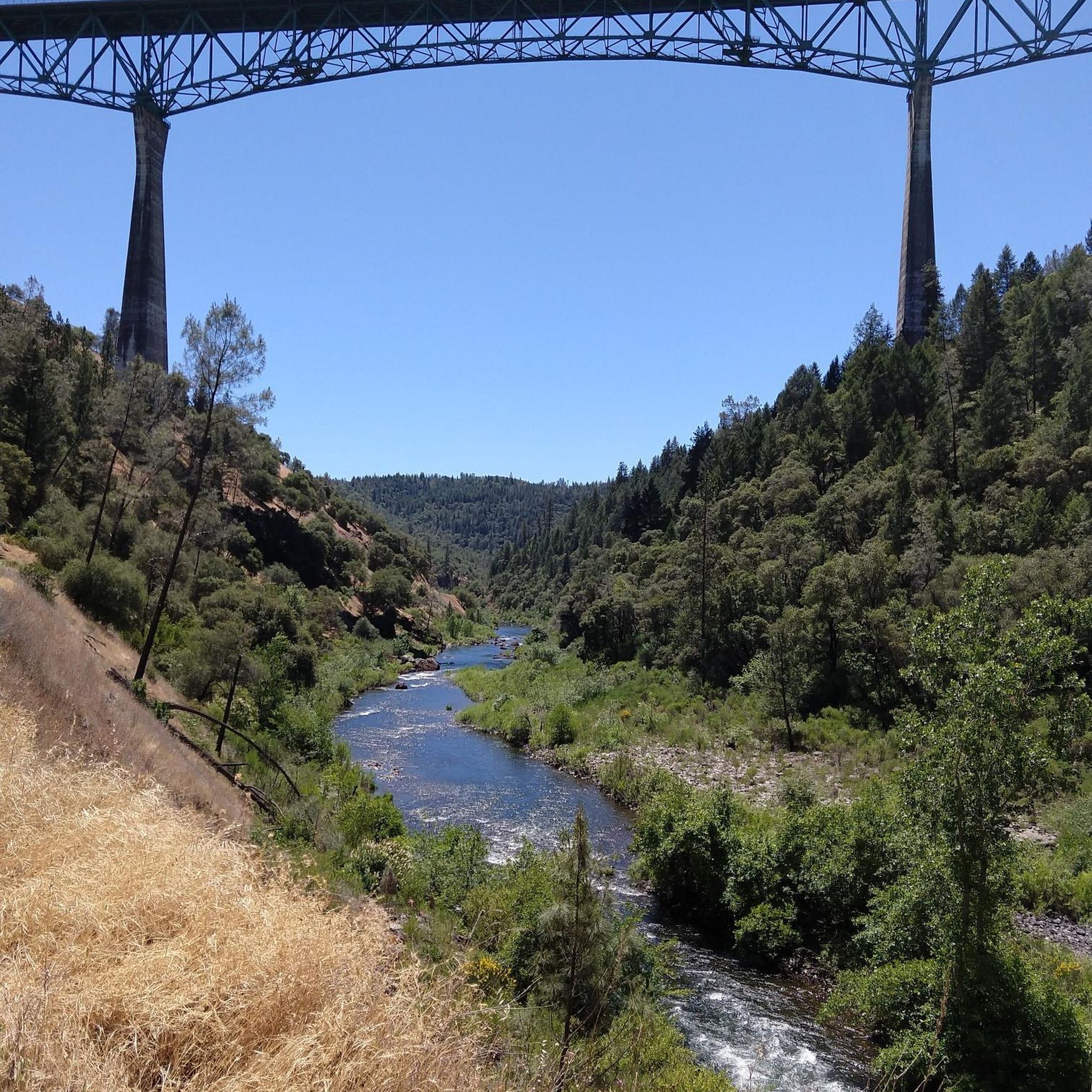
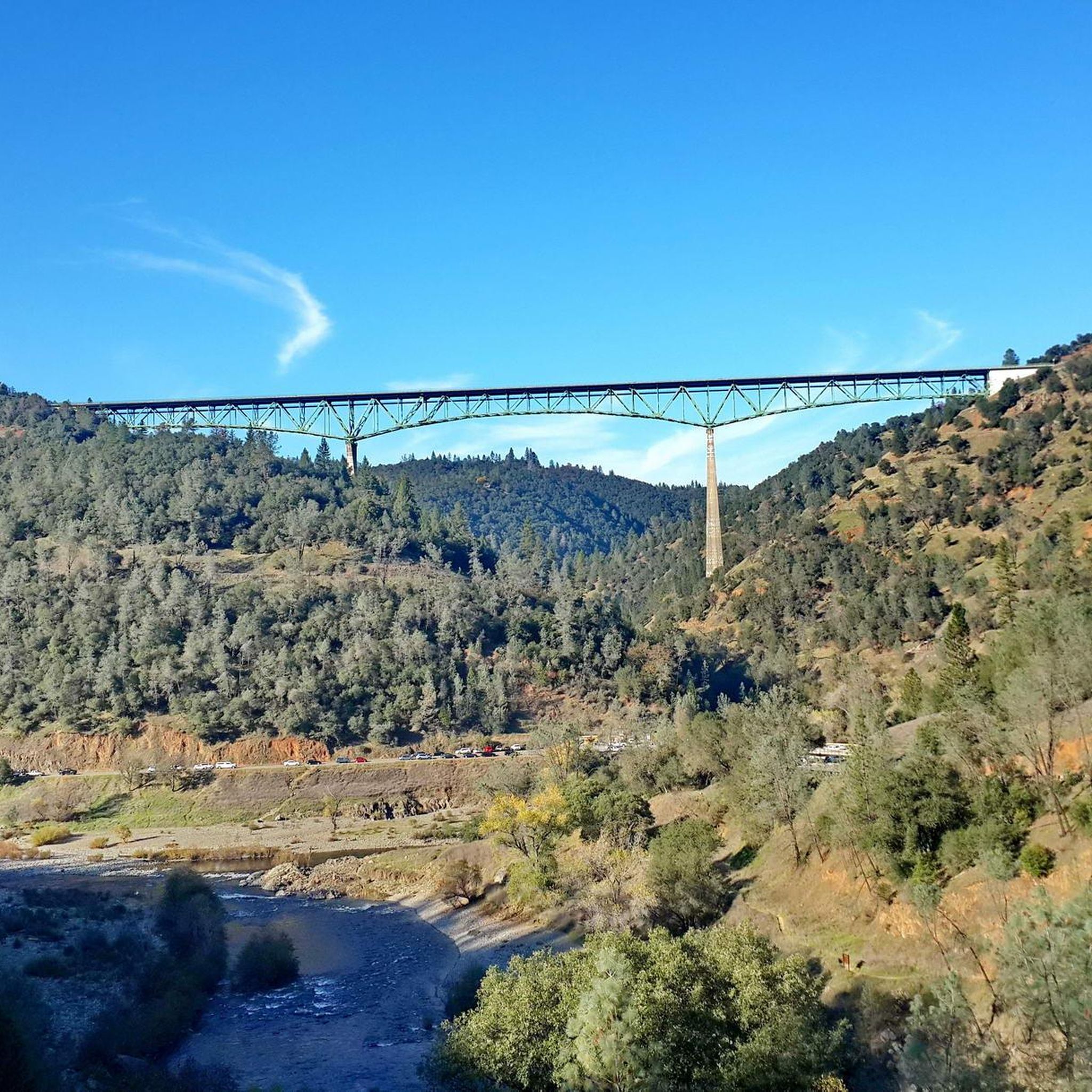
Foresthill Divide Loop, in the Auburn State Recreation Area, is a multi-use trail for hiking and biking. You'll encounter diverse landscapes, including pine and oak woodlands, as well as panoramic views of the American River Canyon.
0
0

Auburn District Regional Park has multi-use paved trails that circle a large pond. The park has all sorts of amenities, like picnic areas, sports fields, and restrooms.
0
0

Passing over this bridge, you can clearly see the small canyon of the Raccoon Creek. This creek completely crosses this small Regional Park.
0
0

The Foresthill Divide Loop is a multiuse trail that is popular with hikers, runners and cyclists. From the trail, there are great views of Lake Clementine and both the North Fork and Middle Fork American Rivers.
0
0

Colfax Cemetery is a small sized cemetery but it has over 3,000 memorials. A lot of graves date back to the 1850s and are well maintained. The trees here are beautiful as well.
0
0
Frequently Asked Questions
What is the general difficulty level of gravel bike trails in Auburn State Recreation Area?
Auburn State Recreation Area offers a range of gravel biking experiences. While there is one moderate route, the majority of the trails are considered difficult, featuring significant elevation gains and varied terrain. For example, the Old Auburn Foresthill Road – Foresthill Divide Loop involves nearly 600 meters of climbing over 27 kilometers.
Are there any beginner-friendly gravel bike trails in Auburn State Recreation Area?
For those new to gravel biking or looking for a less strenuous ride, the Foresthill Divide Loop – Foresthill Divide Loop from Auburn State Recreation Area is a moderate option. This 16-kilometer path offers a mix of forest scenery and open sections with manageable climbs, making it suitable for intermediate riders or beginners seeking a challenge.
Where can I find parking for gravel biking in Auburn State Recreation Area?
Parking is available at various trailheads throughout the recreation area. Many routes, such as the Foresthill Divide Loop, start directly from within the Auburn State Recreation Area, indicating accessible parking facilities. For routes starting further afield, like those near Colfax, specific parking areas are usually designated near the starting points.
What kind of terrain can I expect on gravel bike trails in Auburn State Recreation Area?
The terrain in Auburn State Recreation Area is diverse, characterized by deep river canyons, rolling hills, and extensive forests. You'll encounter varied surfaces, often following historic mining roads and fire roads. This provides a mix of challenging climbs and scenic, less technical sections, with elevations ranging from river level to higher ridges.
Are there any long-distance gravel bike routes for experienced riders?
Yes, experienced gravel bikers looking for a significant challenge will find several options. The Colfax – Colfax Cemetery loop from Colfax is a substantial 76.5-kilometer trail with over 1700 meters of elevation gain, typically taking over six hours to complete. Another demanding option is the Colfax – Yankee Jims Bridge loop, which covers 44.5 kilometers with nearly 1300 meters of climbing.
What are some notable landmarks or attractions along the gravel bike routes?
Many routes offer scenic views and pass by interesting landmarks. You might encounter the impressive Foresthill Bridge, the historic North Fork Dam, or ride alongside the beautiful North Fork American River. The Clementine Trail is also a well-known feature in the area.
Are there any loop gravel bike routes in Auburn State Recreation Area?
Yes, several routes in the area are designed as loops, offering a convenient way to explore without retracing your steps. Examples include the Old Auburn Foresthill Road – Foresthill Divide Loop and the Foresthill Divide Loop, both starting and ending near prominent points within the recreation area.
What do other gravel bikers say about the trails in Auburn State Recreation Area?
The komoot community frequently praises the diverse terrain and scenic beauty of the Auburn State Recreation Area. Many appreciate the mix of challenging climbs and rewarding descents, often highlighting the well-maintained fire roads and historic mining paths. Over 40 gravel bikers have used komoot to explore these varied routes, indicating a popular and well-regarded destination.
What is the best time of year for gravel biking in Auburn State Recreation Area?
The Auburn State Recreation Area is generally accessible year-round, but conditions vary. Spring and fall offer pleasant temperatures and vibrant scenery, making them ideal. Summers can be hot, especially in the canyons, so early morning rides are recommended. Winters are typically mild, though some higher elevation sections might experience cooler temperatures or occasional wet conditions.
Are there any routes that pass by Hidden Falls Park?
Yes, one of the routes, the Start of Creekside trail – Hidden Falls Park loop from Auburn-Conheim, specifically includes Hidden Falls Park. This difficult 45.8-kilometer loop offers a substantial ride with over 680 meters of elevation gain, providing an opportunity to explore that area.
Most popular routes in Auburn State Recreation Area
Most popular attractions in Auburn State Recreation Area

Get inspired with the komoot mobile app


Explore more
Browse the best Gravel rides in other regions.
