The best road cycling routes around Cass
42
riders
6
rides
Road cycling routes around Cass are situated within the mountainous terrain of West Virginia, characterized by rolling hills and dense forests. The region offers a mix of challenging ascents and scenic descents through valleys. Road cyclists can expect varied landscapes, including stretches alongside natural waterways and through wooded areas.
Best road cycling routes in Cass
- The most popular road cycling route is Slide Run East Trailhead loop from Waffle Cabin, a 15.5 miles (25.0 km) trail that takes 1…
Last updated: June 27, 2026
19
riders
25.0km
01:32
610m
610m
Moderate road ride. Good fitness required. Mostly well-paved surfaces and easy to ride.
6
riders
31.8km
02:02
930m
930m
Hard road ride. Very good fitness required. Mostly well-paved surfaces and easy to ride.

Sign up for free
6
riders
8.21km
00:39
130m
130m
Easy road ride. Great for any fitness level. Mostly well-paved surfaces and easy to ride.
4
riders
86.8km
04:37
1,590m
1,590m
Hard road ride. Very good fitness required. Mostly well-paved surfaces and easy to ride.
3
riders
81.9km
04:33
1,500m
1,510m
Hard road ride. Very good fitness required. Mostly well-paved surfaces and easy to ride.
Our route recommendations are based on thousands of hikes, rides, and runs completed by other people on komoot.
Start today with a free account
Your next adventure awaits.
Login or Signup

Other adventures around Cass

Tips from the Community

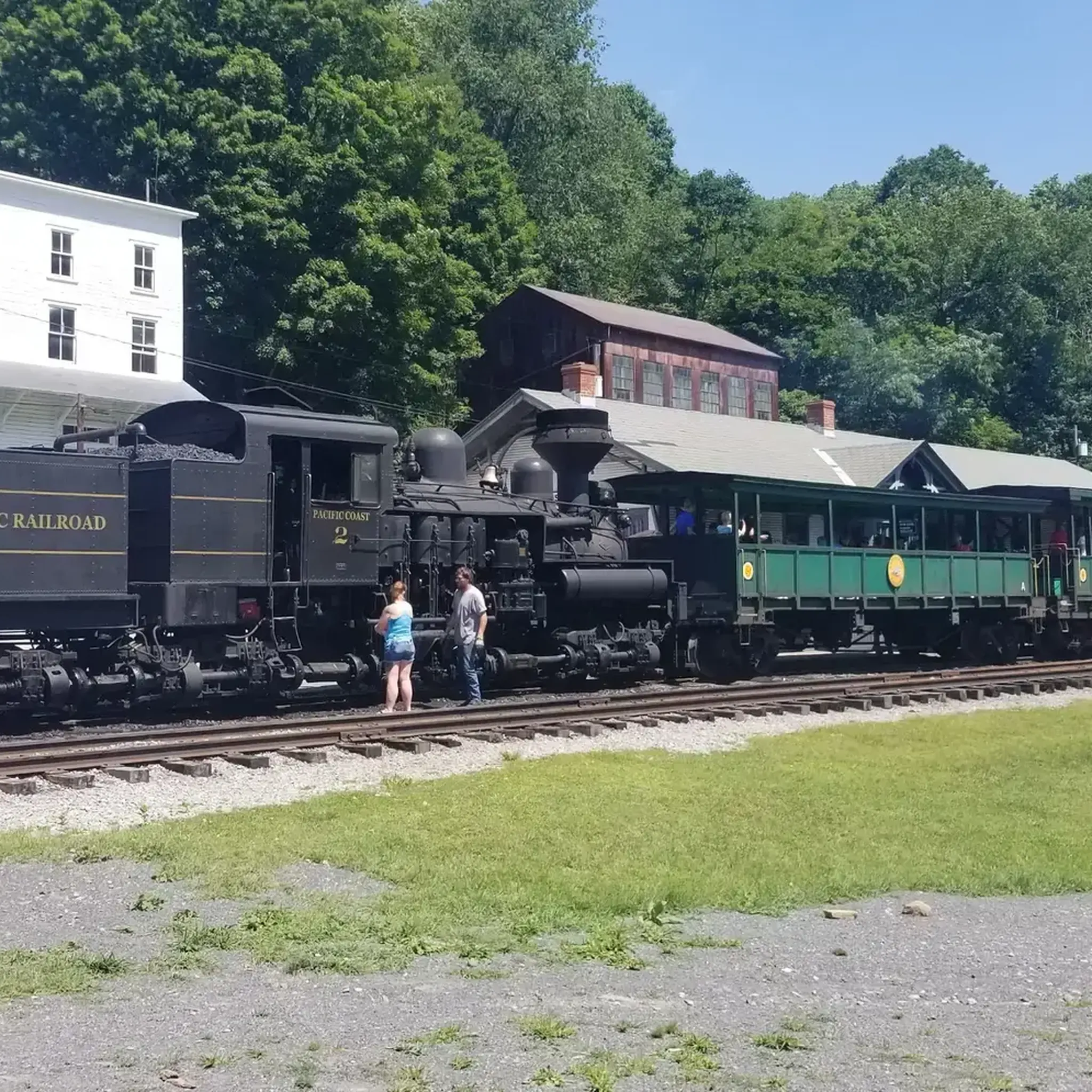
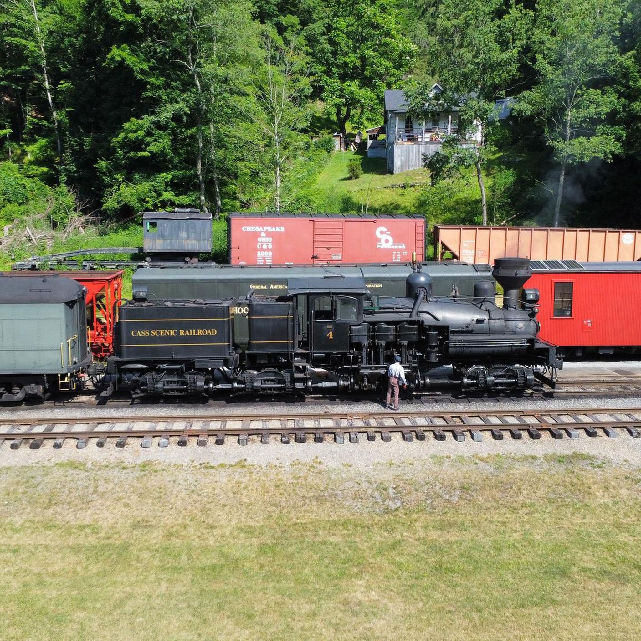
This is the site of the former company town called Cass. It was owned by the West Virginia Pulp and Paper Company and used as a home base for the men who worked in the nearby mountains. Now, the site is open to visitors to come and learn more about the town and the industry that used to dominate the area. There are also locomotive rides available.
1
0
This C&O railway depot was constructed at the start of the 1900s. It has been recently restored and is open to visitors. There is currently no bathroom facilities here.
0
0

Once a year, the small mountain town in West Virginia captures the full attention of the entire mountain biking community. As host of the UCI Mountain Bike World Cups for downhill, cross-country and short track racing, Snowshoe welcomes the mountain biking elite for the fourth time next year in September 2023.
1
0

The entrance to this moderately difficult 2.2mi blue trail can be a bit tough to spot as the markers are a bit weathered. The trail is between Shavers Road and Upper Spruce Road, running between the trees to the right of the warning sign with a couple blue blazes a bit further in.
0
0
Frequently Asked Questions
How many road cycling routes are available around Cass?
There are 7 road cycling routes around Cass listed in this guide. These routes offer a variety of distances and elevations to suit different preferences.
Are there any easy road cycling routes for beginners or families?
Yes, there are 2 easy road cycling routes around Cass. One excellent option is the Snowshoe Bike Park loop from Snowshoe, which is 8.2 km long with minimal elevation gain, making it suitable for a relaxed ride.
What are the most challenging road cycling routes in Cass?
For experienced cyclists seeking a challenge, there are 4 difficult routes. The longest and most demanding is the Roadbike loop from Snowshoe, covering 86.8 km with over 1500 meters of elevation gain. Another significant challenge is the Slide Run East Trailhead – Snowshoe Bike Park loop from Snowshoe, at 81.9 km with similar elevation.
Are there any circular road cycling routes around Cass?
Yes, all the road cycling routes listed in this guide are circular loops, allowing you to start and finish at the same point. This includes routes like the Slide Run East Trailhead loop from Waffle Cabin and the various loops starting from Snowshoe.
What can I see or visit along the road cycling routes near Cass?
While cycling, you can explore several interesting points. The Cass Scenic Railroad State Park is a notable historical site nearby. You might also pass through areas like Seneca State Forest, offering natural beauty. Some routes also start or pass by the Snowshoe Bike Park area.
Where can I find parking for road cycling routes in Cass?
Many routes, such as the Roadbike loop from Snowshoe, originate from Snowshoe, which typically offers parking facilities. For routes like the Slide Run East Trailhead loop from Waffle Cabin, you would look for parking near the trailhead or starting point mentioned.
What is the best time of year for road biking in Cass?
The best time for road biking in Cass, West Virginia, is generally during the spring, summer, and fall months. These seasons offer more favorable weather conditions, with less chance of snow or ice on the roads, and pleasant temperatures for cycling. Always check local weather forecasts before heading out.
Are there any long-distance road cycling routes in the area?
Yes, for those looking for longer rides, routes like the Roadbike loop from Snowshoe (86.8 km) and the Slide Run East Trailhead – Snowshoe Bike Park loop from Snowshoe (81.9 km) provide substantial distances and elevation for an extended road cycling experience.
Are there any specific permit requirements for road cycling in Cass?
Generally, road cycling on public roads in the Cass area does not require special permits. However, if any part of your route takes you through private land or specific parks, it's always advisable to check for any local regulations or permit requirements beforehand. The routes in this guide primarily utilize public access roads.
Can I find places to eat or stay near the cycling routes?
Many of the routes are centered around or pass through the Snowshoe area, which is a resort village. Here, you can typically find various amenities including cafes, restaurants, and accommodation options. For routes starting elsewhere, checking local services in Cass or nearby towns would be recommended.
Most popular routes around Cass
Most popular attractions around Cass

Get inspired with the komoot mobile app


