
The best running trails in Sotaquirá
5.0
(13)
193
runners
5
runs
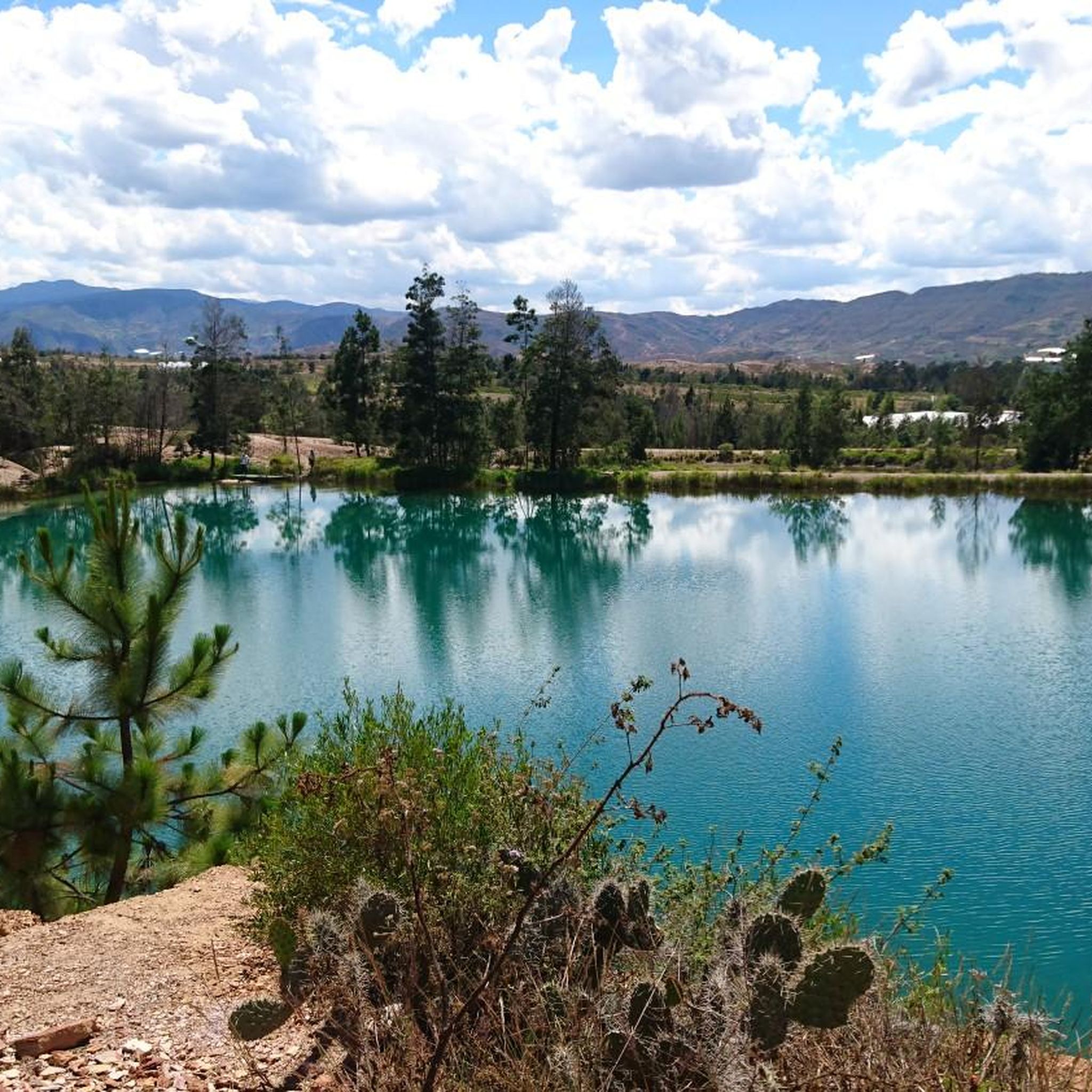
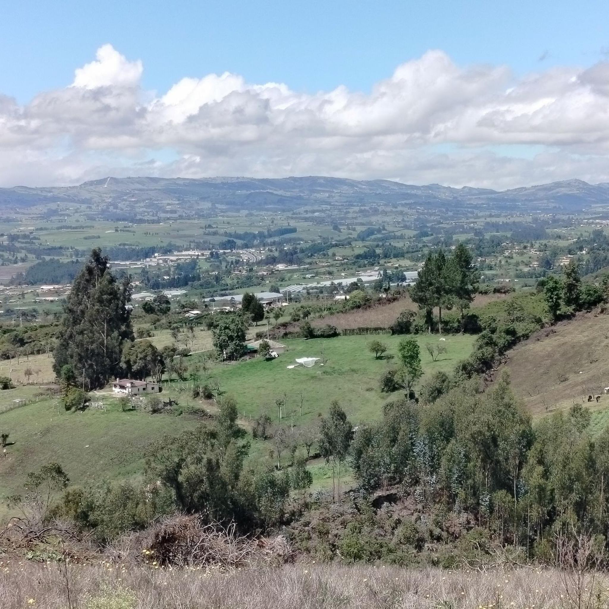
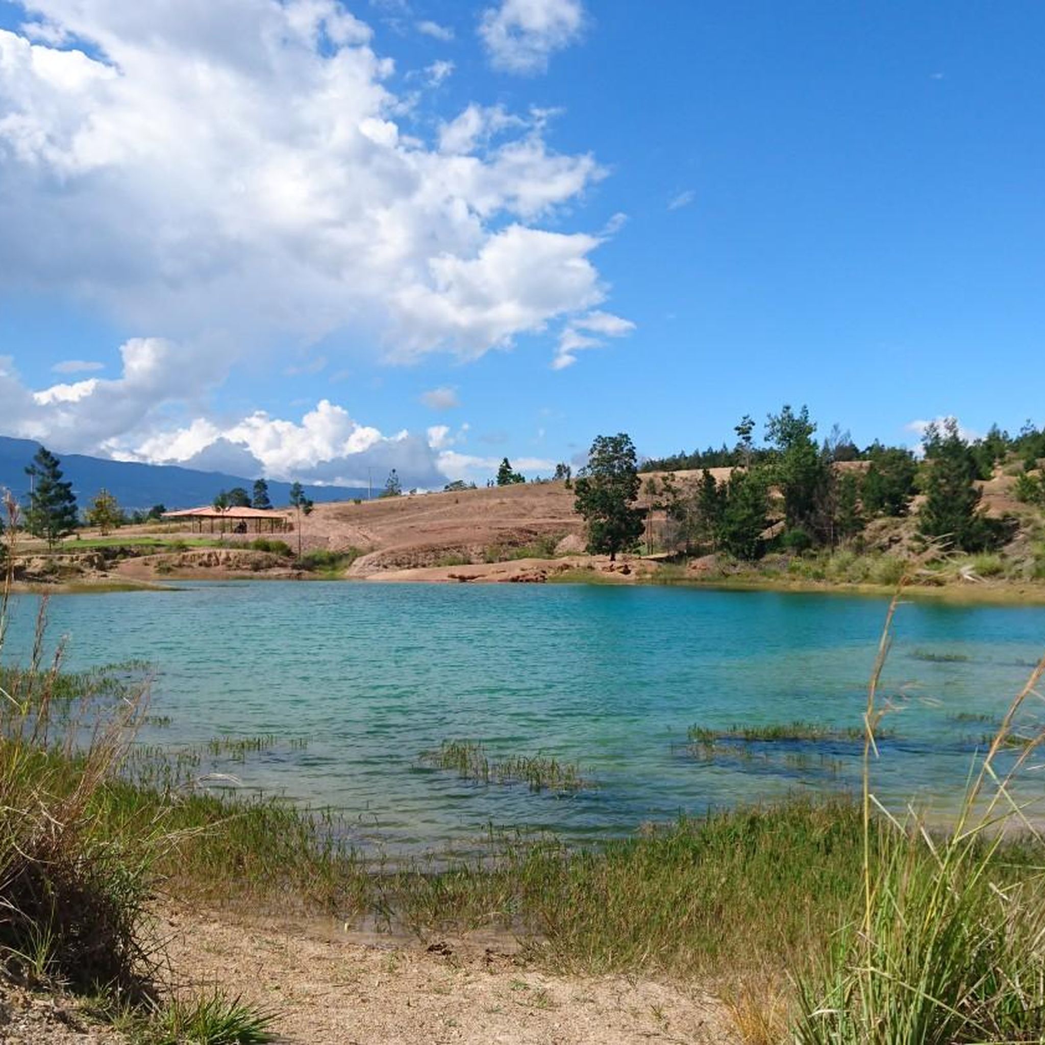
Jogging in Sotaquirá offers a variety of routes through its diverse landscape. The region features rolling terrain with moderate elevation changes, providing engaging paths for runners. Many routes originate near key local points such as Paipa and Sotaquirá, often incorporating views of the surrounding countryside. The area's natural features include gentle hills and open spaces, suitable for various running preferences.
Best jogging routes in Sotaquirá
- The most popular jogging route is Running loop from Aeropuerto Juan José Rondón, a…
Last updated: July 7, 2026
5.0
(10)
134
runners
8.44km
00:54
120m
120m
Moderate run. Good fitness required. Mostly paved surfaces. Suitable for all skill levels.
5.0
(3)
39
runners
7.55km
00:53
120m
120m
Moderate run. Good fitness required. Mostly paved surfaces. Suitable for all skill levels.

Sign up for free
8
runners
11.1km
01:22
270m
270m
Moderate run. Good fitness required. Mostly paved surfaces. Suitable for all skill levels.
7
runners
6.07km
00:50
270m
260m
Moderate run. Good fitness required. Mostly paved surfaces. Suitable for all skill levels.
5
runners
10.0km
01:03
70m
70m
Moderate run. Good fitness required. Mostly paved surfaces. Suitable for all skill levels.
Our route recommendations are based on thousands of hikes, rides, and runs completed by other people on komoot.
Start today with a free account
Your next adventure awaits.
Login or Signup
Popular around Sotaquirá
Frequently Asked Questions
What is the typical terrain like for running in Sotaquirá?
Running in Sotaquirá features rolling terrain with moderate elevation changes, offering engaging paths. You'll encounter gentle hills and open landscapes, providing a varied experience for runners.
Are there any easy running routes for beginners in Sotaquirá?
All the currently listed running routes in Sotaquirá are rated as moderate. While they offer engaging terrain, they do involve some elevation gain. For beginners, we recommend starting with shorter distances and gradually increasing your mileage. The Fuente Aguas termales loop from Paipa is one of the shorter options at 4.5 miles (7.2 km) with minimal elevation gain.
What kind of distances and elevation gains can I expect on Sotaquirá's running trails?
Running routes in Sotaquirá typically range from about 4.5 miles (7.2 km) to nearly 7 miles (11.1 km). Elevation gains vary, with some routes featuring around 400 feet (120 m) of ascent, while others, like the Running loop from Aeropuerto Juan José Rondón, can have over 890 feet (270 m) of climbing.
Are there circular running routes available in Sotaquirá?
Yes, all the featured running routes in Sotaquirá are circular loops. This means you'll start and finish at the same point, making logistics straightforward. Examples include the Running loop from Paipa and the Running loop from Sotaquirá.
What are some scenic views or points of interest I might see while running in Sotaquirá?
Many routes offer views of the surrounding countryside and open landscapes. You might also pass by areas near the hot springs, as seen on the Fuente Aguas termales loop from Paipa. For specific landmarks, consider visiting the Monument to the Lancers of the Vargas Swamp or the La Cascajera Pass, which are notable attractions in the region.
Are the running trails in Sotaquirá suitable for families?
The running routes in Sotaquirá are generally rated as moderate. While they offer beautiful scenery, the elevation changes and distances might be challenging for very young children or those new to running. Families with older children who are accustomed to moderate physical activity may find them enjoyable.
What do other runners say about the trails in Sotaquirá?
The running routes in Sotaquirá are highly rated by the komoot community, with an average score of 5.0 stars from over 10 reviews. Runners often praise the varied terrain and the engaging experience of exploring the region's natural beauty.
Where can I find parking for the running trails in Sotaquirá?
Many running routes in Sotaquirá originate near local towns such as Paipa and Sotaquirá. You can typically find parking facilities within or on the outskirts of these towns, close to the starting points of the loops. For example, the Running loop from Club Militar Paipa starts from a well-known location.
Are there any cafes or amenities near the running routes in Sotaquirá?
Since many routes start from local towns like Paipa and Sotaquirá, you'll find various amenities, including cafes, restaurants, and shops, within easy reach before or after your run. These towns serve as convenient hubs for runners.
What is the longest running route available in Sotaquirá?
The longest running route featured is the Running loop from Aeropuerto Juan José Rondón, which covers a distance of 6.9 miles (11.1 km) and includes a significant elevation gain of over 890 feet (270 m).
Can I use public transport to access the running trails in Sotaquirá?
While specific public transport links to trailheads are not detailed, the routes often begin in or near the towns of Paipa and Sotaquirá. These towns are generally accessible by regional public transport, which could provide a starting point for your run.
Are the running trails in Sotaquirá dog-friendly?
While specific regulations for dogs on these trails are not provided, generally, many outdoor areas in the region are welcoming to dogs. It's always best to keep your dog on a leash, especially in areas with livestock or other wildlife, and to carry waste bags to clean up after them.
Most popular routes in Sotaquirá
Most popular attractions in Sotaquirá

Get inspired with the komoot mobile app


Explore more
Browse the best Running Trails & Routes in other regions.
