The best road cycling routes in Sotaquirá
4.9
(83)
757
riders
9
rides
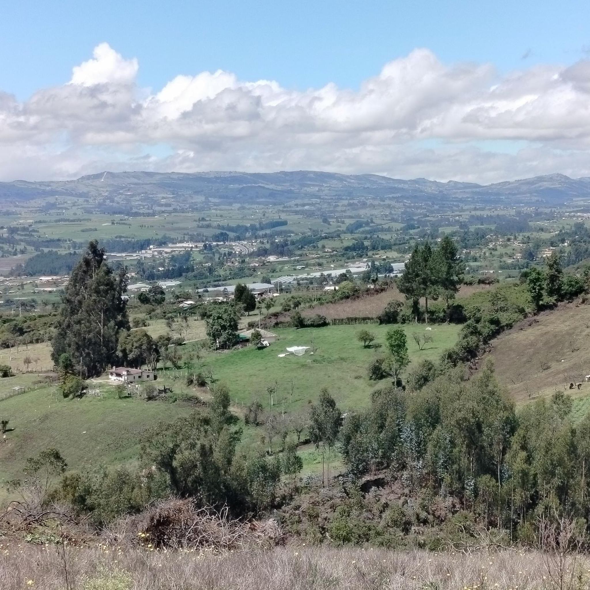
Road cycling in Sotaquirá, located in Colombia's Boyacá department, features challenging mountainous terrain and rolling hills. The region offers a dynamic cycling environment with varied ascents and descents. Routes traverse lush green scenery and valleys, providing a scenic backdrop for rides. This topography creates demanding routes that are characteristic of Colombian cycling.
Best road cycling routes in Sotaquirá
- The most popular road cycling route is Gámeza Canyon Climb – Alto de Tobasía loop from Paipa, a 67.3 miles (108.3…
Last updated: July 4, 2026
5.0
(69)
302
riders
108km
05:18
1,260m
1,260m
Hard road ride. Very good fitness required. Mostly well-paved surfaces and easy to ride.
5.0
(2)
103
riders
64.2km
03:18
760m
760m
Moderate road ride. Good fitness required. Mostly well-paved surfaces and easy to ride.

Sign up for free
85
riders
126km
08:37
1,460m
1,460m
Hard road ride. Very good fitness required. Some segments of this route may be unpaved and difficult to ride.
5.0
(1)
43
riders
131km
07:06
2,050m
2,050m
Hard road ride. Very good fitness required. Some segments of this route may be unpaved and difficult to ride.
7
riders
59.4km
03:00
540m
540m
Moderate road ride. Good fitness required. Some segments of this route may be unpaved and difficult to ride.
Get access to more routes and recommendations from other explorers.
Sign up for free
Already have an account?
Our route recommendations are based on thousands of hikes, rides, and runs completed by other people on komoot.
Start today with a free account
Your next adventure awaits.
Login or Signup
Popular around Sotaquirá

Tips from the Community

I did it by diverting onto an unpaved route from Santa Rosa de Viterbo, a good option if you want to avoid traffic on the main road, however, it is recommended on MTB or Gravel.
0
0

Central park with a beautiful cathedral in the center of Bethlehem.
0
0
Summit between the municipalities of Santa Rosa de Viterbo and Belén. Elevation close to 3000 meters above sea level
0
0
Beautiful park in the municipality of Belén.
0
0
Beautiful enclave where pilgrimages are regularly held to the Virgin of the Tiestecitos of Tutazá
0
0
Stop between the municipalities of Santa Rosa de Viterbo and Cerinza. Elevation 2974 meters above sea level.
0
0
Representative place where you can find several establishments that offer mojicones, mantecadas, genoas and other culinary foods of the region.
0
0
Playground in the Villa del Rosario sector. There are gym type machines.
0
0
Frequently Asked Questions
How many road cycling routes are available in Sotaquirá?
Sotaquirá offers 10 road cycling routes. These include 1 easy route, 5 moderate routes, and 4 difficult routes, catering to various skill levels.
What kind of terrain can I expect on road cycling routes in Sotaquirá?
Road cycling in Sotaquirá is characterized by challenging mountainous terrain and rolling hills, with varied ascents and descents. The region is situated at an altitude of approximately 2,800 meters, contributing to its demanding routes. You'll traverse lush green scenery, agricultural landscapes, and potentially encounter features like páramos and Andean forests.
What do other cyclists say about road cycling in Sotaquirá?
The road cycling routes in Sotaquirá are highly rated by the komoot community, with an average score of 4.9 stars from over 80 reviews. Cyclists frequently praise the challenging climbs, the stunning panoramic views, and the unique experience of riding through colonial towns and diverse natural landscapes.
Are there any particularly challenging road cycling routes in Sotaquirá?
Yes, Sotaquirá is known for its demanding routes. For experienced cyclists, the Lake Tota – La Cascajera Pass loop from Paipa is a difficult 125.7 km trail with substantial climbs, often taking over 8 hours. Another challenging option is the Gámeza Canyon Climb – Alto de Tobasía loop from Paipa, a 108.3 km route featuring significant elevation gain.
Can I find road cycling routes that offer scenic viewpoints?
Absolutely. Many routes in Sotaquirá offer spectacular views. The region is home to panoramic viewpoints like Cerro Ecce Homo, providing stunning vistas of the surrounding area. Routes passing through locations such as the Abandoned Bus at Alto de Siome are specifically noted for their beautiful scenery alongside demanding climbs.
Are there any historical landmarks or attractions along the road cycling routes?
Yes, Sotaquirá offers a rich blend of natural beauty and historical significance. You can experience its colonial architecture, particularly around the main square, and pass by landmarks such as the Monument to the Lancers of the Vargas Swamp. The town's main park, Corceles de la Libertad, also commemorates its contribution to the independence battle, adding a cultural dimension to your ride.
Are there any road cycling routes that are loop trails?
Yes, several popular road cycling routes in the Sotaquirá area are designed as loops. Examples include the Gámeza Canyon Climb – Alto de Tobasía loop from Paipa and the Garden View in Colombia – Alto del Portachuelo loop from Paipa, which offer circular journeys back to your starting point.
What is the best time of year for road cycling in Sotaquirá?
Sotaquirá's climate is generally mild due to its high altitude. While specific seasonal weather patterns can vary, the region is often suitable for cycling year-round. However, it's always advisable to check local weather forecasts before heading out, especially for mountain routes where conditions can change rapidly.
Where can I find parking in Sotaquirá if I'm bringing my bike?
Sotaquirá, being a smaller town, typically offers parking options around its main square or in designated areas within the town center. For specific routes starting from nearby towns like Paipa, you would look for parking facilities in those locations. It's recommended to arrive early, especially on weekends, to secure a spot.
Are there any natural features like waterfalls to see while cycling?
While not directly on all road cycling routes, the region boasts natural attractions such as the Cascada de Sotaquirá, an impressive 50-meter high waterfall surrounded by mountains. This can be a rewarding side trip, often accessible via a short walk from a nearby point, offering a beautiful natural spectacle.
Are there any road cycling routes suitable for families or beginners?
Yes, Sotaquirá offers at least one easy road cycling route. While many routes are challenging, there are options designed for less experienced riders or families looking for a more relaxed pace. These routes typically feature less elevation gain and shorter distances, allowing everyone to enjoy the scenic beauty of the region.
Most popular routes in Sotaquirá
Most popular attractions in Sotaquirá

Get inspired with the komoot mobile app


Explore more
Browse the best Road cycling routes in other regions.
