The best gravel rides in Skotjernfjellet Og Snellingsrøysene Naturreservat
17
riders
3
rides
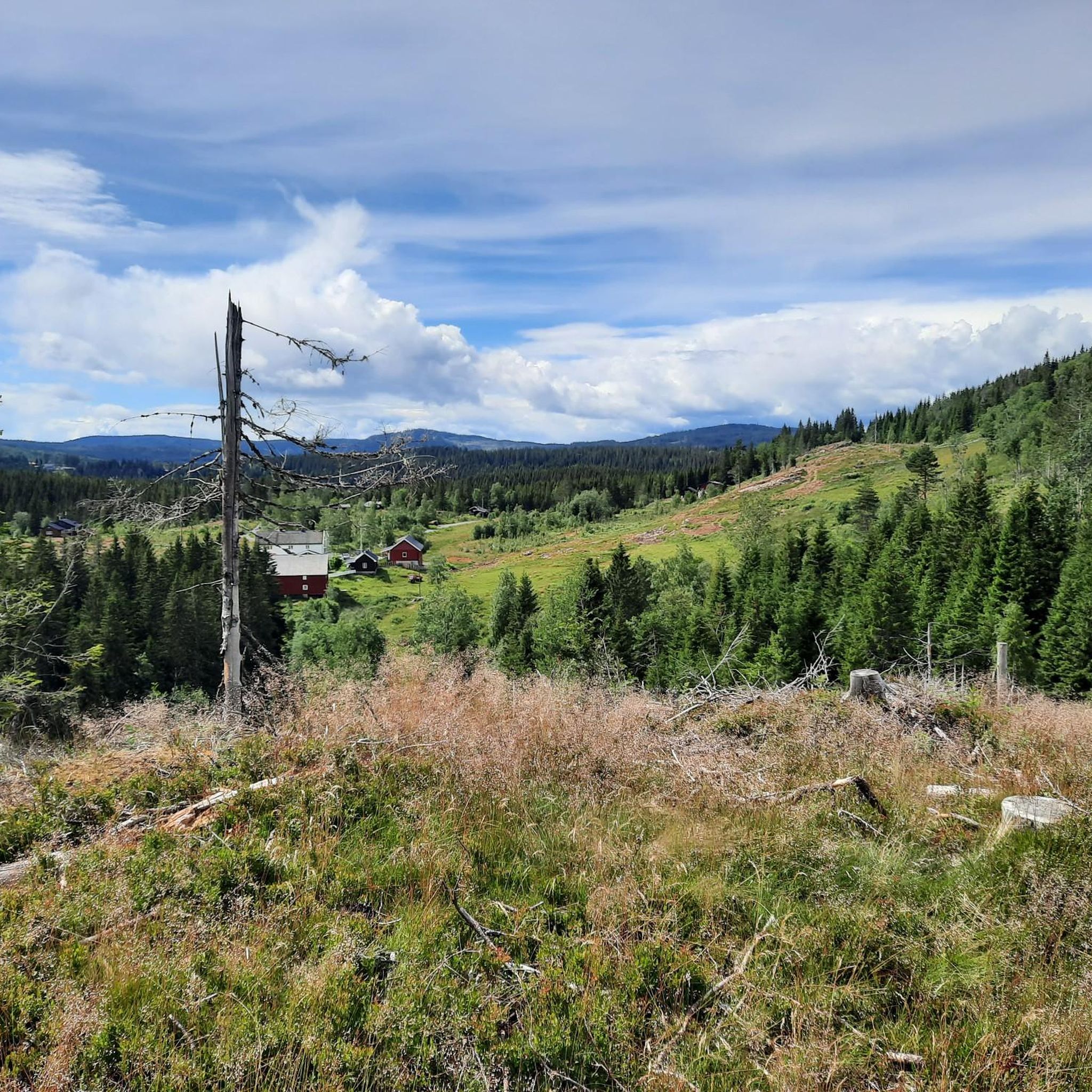
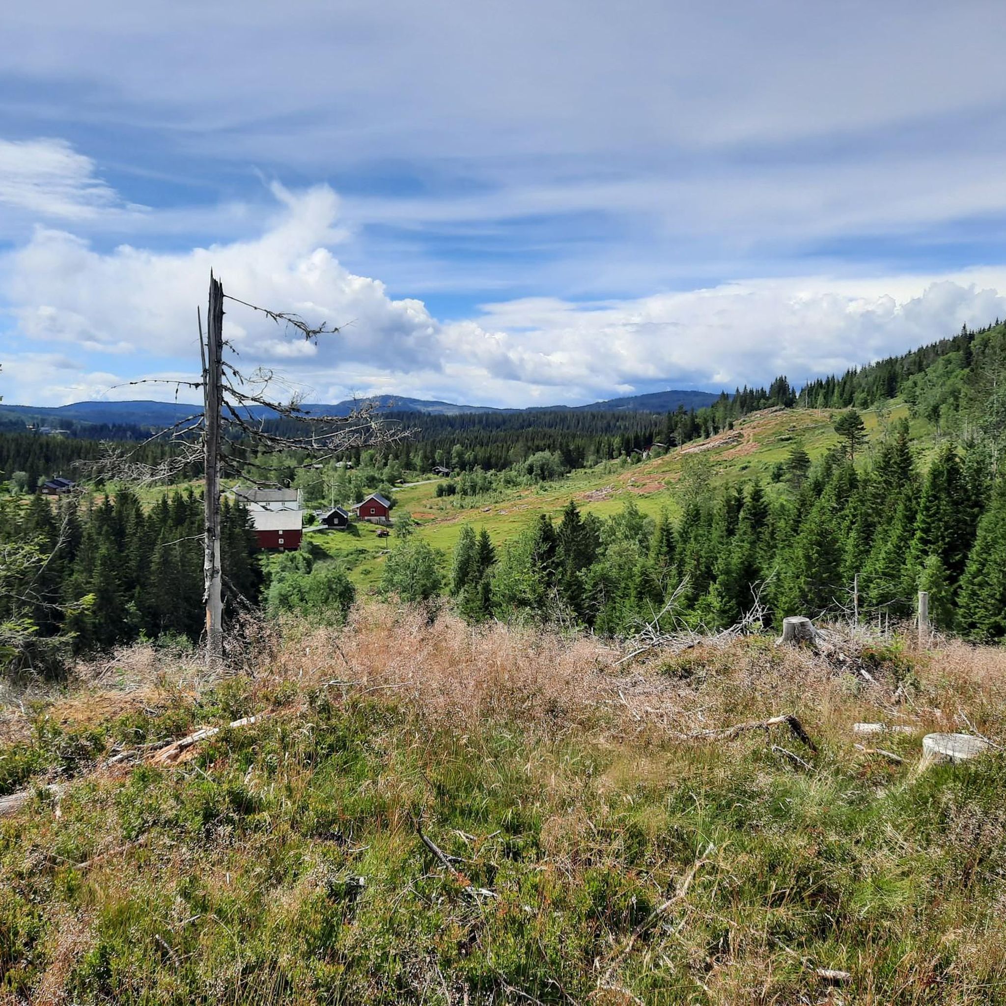
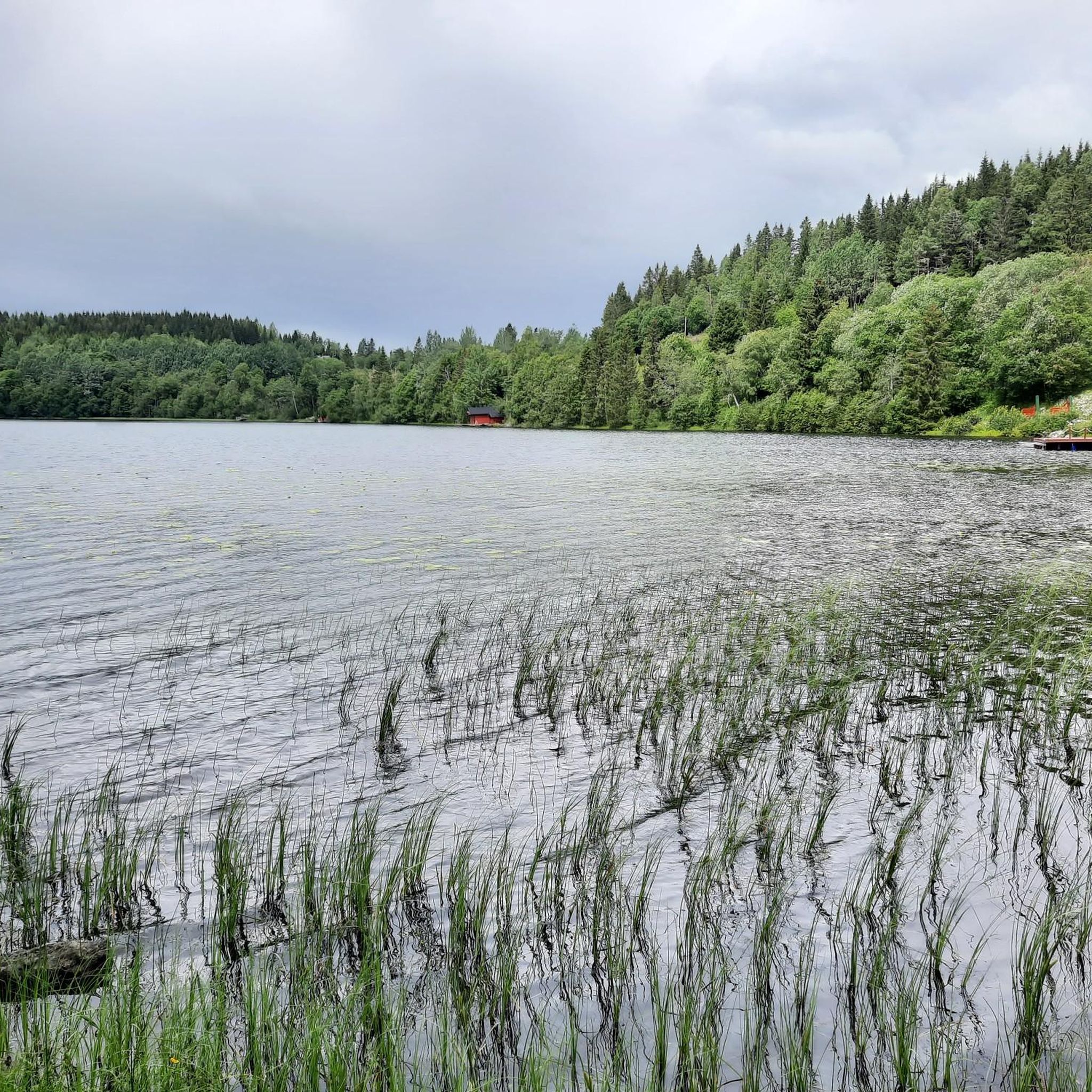
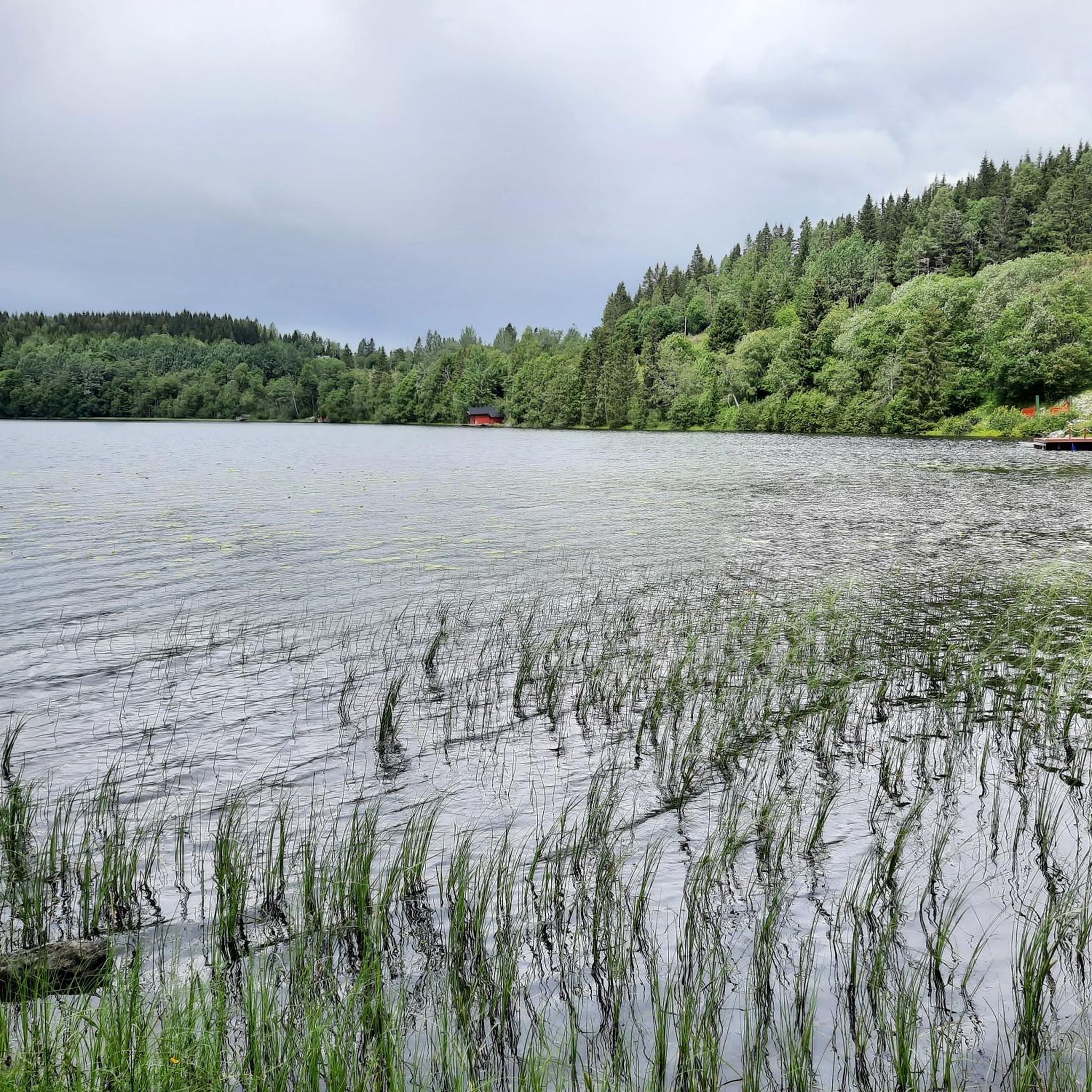
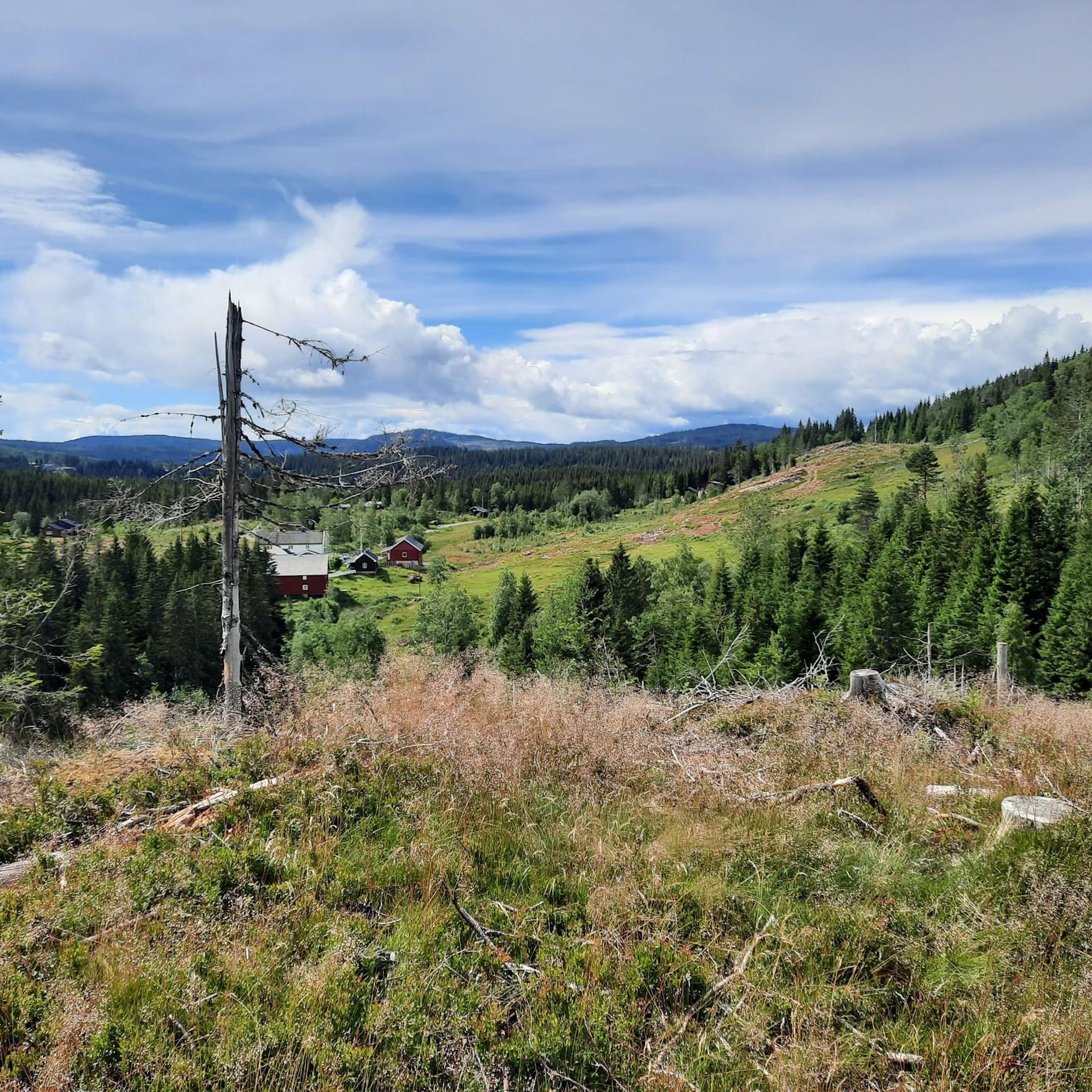
Gravel biking in Skotjernfjellet Og Snellingsrøysene Naturreservat offers diverse terrain within one of Oslomarka's largest forest reserves. The region features elevations from 420 to 651 meters above sea level, with the highest point being Skotjernfjellet. The landscape includes a mix of marshes, several lakes such as Skotjernet and Store Snellingen, and a network of valleys and flat hills, providing varied routes for cyclists. This topography, characterized by north/south and east/west-running valleys and flat ridges, contributes to the area's appeal for…
Last updated: July 9, 2026
8
riders
68.9km
04:42
1,020m
1,020m
Hard gravel ride. Very good fitness required. Mostly paved surfaces. Suitable for all skill levels.
7
riders
98.7km
06:38
1,290m
1,290m
Hard gravel ride. Very good fitness required. Mostly paved surfaces. Suitable for all skill levels.

Sign up for free
2
riders
23.2km
01:38
510m
500m
Hard gravel ride. Very good fitness required. Mostly paved surfaces. Suitable for all skill levels.
Our route recommendations are based on thousands of hikes, rides, and runs completed by other people on komoot.
Start today with a free account
Your next adventure awaits.
Login or Signup
Popular around Skotjernfjellet Og Snellingsrøysene Naturreservat
Hiking in Skotjernfjellet Og Snellingsrøysene Naturreservat
Road Cycling Routes in Skotjernfjellet Og Snellingsrøysene Naturreservat
Running Trails in Skotjernfjellet Og Snellingsrøysene Naturreservat
Cycling in Skotjernfjellet Og Snellingsrøysene Naturreservat
MTB Trails in Skotjernfjellet Og Snellingsrøysene Naturreservat
Tips from the Community

Friendly staff, good food, just a very nice place to rest after a ride. Includes a splash in the lake or sauna inhouse. Staying a night or two makes totally sense since Nordmarka is an endless gravel paradise
0
0


Well-known and very nice sports hall in Nordmarka
0
0

Enjoy the view of the forests and rolling hills from here.
0
0
Great view of the water and the pine trees from this bridge.
0
0

This is a great place to take a rest.
0
0
Frequently Asked Questions
How challenging are the gravel bike trails in Skotjernfjellet Og Snellingsrøysene Naturreservat?
The gravel bike trails in Skotjernfjellet Og Snellingsrøysene Naturreservat are generally considered difficult. They feature significant elevation changes and cover varied terrain, including forest and marshland. For example, the Sørkedalen General Store & Café – Kikutstua loop from Harestua involves over 1000 meters of ascent.
What kind of terrain will I encounter on the gravel bike routes?
You can expect a diverse landscape, ranging from extensive old-growth forests and varied marshlands to numerous lakes and ponds. The routes often traverse north/south and east/west-running valleys and flat hills, providing a mix of surfaces and scenic views. The area's geology, with biotite syenite and feldspar, contributes to its unique character.
Are there any specific regulations or permits required for gravel biking in the nature reserve?
Skotjernfjellet Og Snellingsrøysene Naturreservat is a protected area focused on preserving its valuable ecosystems. While gravel biking is a popular activity, it's important to respect the reserve's status. Generally, cycling is permitted on existing roads and marked trails. There are no specific permits mentioned for general cycling, but always stay on designated paths to protect the natural environment.
What are some notable natural features or points of interest along the gravel bike trails?
The reserve is rich in natural beauty. You'll encounter several lakes and ponds, such as Skotjernet, Vesle Skotjernet, Svartputt, Store Snellingen, and Vesle Snellingen. The highest point, Skotjernfjellet, offers elevated views. The area is also known for its extensive old-growth forests, which are home to diverse flora and fauna, including rare fungi and lichen.
Is Skotjernfjellet Og Snellingsrøysene Naturreservat suitable for family-friendly gravel biking?
Given that all listed routes are categorized as difficult with significant distances and elevation gains, the area might be more suitable for experienced riders or families with older, more capable children. There are no specific easy or beginner-friendly gravel routes highlighted for younger families.
Can I bring my dog on the gravel bike trails?
While the region is generally welcoming to outdoor activities, specific regulations regarding dogs in nature reserves can vary. It's always best to keep dogs on a leash to protect wildlife and respect other visitors, especially in a protected area like Skotjernfjellet Og Snellingsrøysene Naturreservat, which is home to sensitive ecosystems.
Are there any circular gravel biking routes available?
Yes, several popular routes in the area are loops. For instance, the Skjærsjø Dam – Skjærsjøen Lake loop from Harestua is a challenging 97.3 km circular path that explores many of the region's lakes and natural features.
Where can I park my car when visiting for gravel biking?
While specific parking locations are not detailed, many routes, such as those starting 'from Harestua' or 'from Harpetjern', imply access points where parking might be available. It's advisable to check local maps or specific route descriptions for designated parking areas near trailheads.
What is the best time of year for gravel biking in this region?
The best time for gravel biking typically depends on weather conditions. Spring, summer, and early autumn generally offer the most favorable conditions with less snow and ice. Given the elevation (420-651 meters), winter conditions can make some trails impassable or very challenging due to snow and ice.
Are there any amenities like cafes or accommodation near the gravel biking routes?
The Sørkedalen General Store & Café – Kikutstua loop from Harestua route name suggests that there might be a general store and café along or near that specific route. For broader accommodation or dining options, you would likely need to look in nearby towns like Harestua, Lunner, or Nannestad.
How long are the gravel bike routes in Skotjernfjellet Og Snellingsrøysene Naturreservat?
The routes vary in length. For example, the Mana – Simahaugen loop from Harpetjern is about 23.2 km, while the Skjærsjø Dam – Skjærsjøen Lake loop from Harestua extends to 97.3 km, offering options for different ride durations.
Is public transport an option to reach the gravel biking trailheads?
While specific public transport access points directly to trailheads are not detailed, the starting points of some routes, such as 'from Harestua', suggest that these locations might be accessible via public transport. It's recommended to check local bus or train schedules for connections to towns bordering the reserve.
Most popular routes in Skotjernfjellet Og Snellingsrøysene Naturreservat

Get inspired with the komoot mobile app


Explore more
Browse the best Gravel rides in other regions.
