The best MTB trails in Skotjernfjellet Og Snellingsrøysene Naturreservat
12
riders
4
rides
Mountain bike trails in Skotjernfjellet Og Snellingsrøysene Naturreservat traverse a protected forest area in the northeastern Oslomarka region, spanning elevations from 420 to 651 meters. The terrain is varied, featuring numerous bogs, small lakes, minor valleys, and flat hills, with Skotjernfjellet as the highest point at 651 meters. Old-growth forests, some containing ancient pine trees, characterize the landscape, offering diverse riding conditions for mountain bikers. The bedrock is composed of biotite syenite, felsite, and porphyries, with a relatively thin topsoil…
Last updated: July 4, 2026
4
riders
28.1km
01:57
380m
380m
Moderate mountain bike ride. Good fitness required. Suitable for all skill levels.
2
riders
20.8km
01:58
270m
270m
Moderate mountain bike ride. Great for any fitness level. Advanced riding skills necessary.

Sign up for free
5
riders
20.7km
01:29
340m
340m
Moderate mountain bike ride. Good fitness required. Suitable for all skill levels.
1
riders
16.3km
01:44
380m
380m
Hard mountain bike ride. Good fitness required. Advanced riding skills necessary. Some portions of the route may require you to push your bike.
Our route recommendations are based on thousands of hikes, rides, and runs completed by other people on komoot.
Start today with a free account
Your next adventure awaits.
Login or Signup
Popular around Skotjernfjellet Og Snellingsrøysene Naturreservat
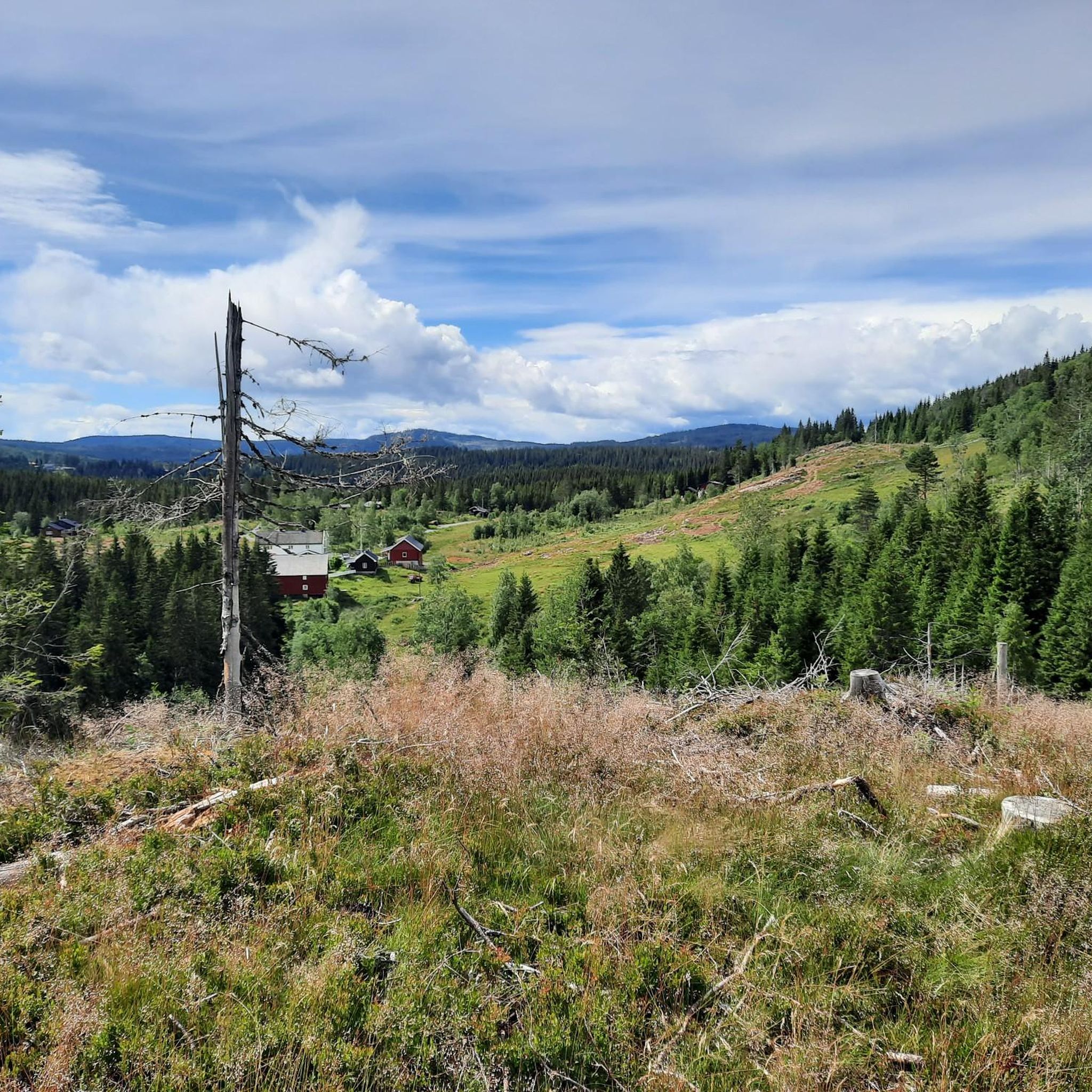
Hiking in Skotjernfjellet Og Snellingsrøysene Naturreservat
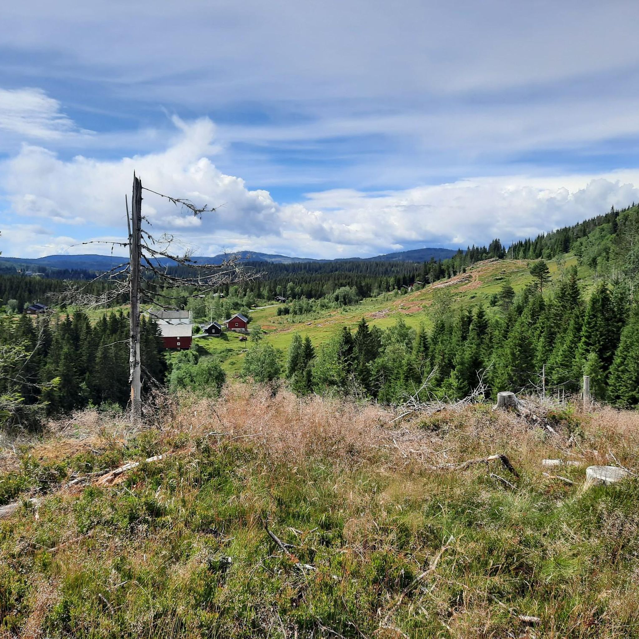
Road Cycling Routes in Skotjernfjellet Og Snellingsrøysene Naturreservat
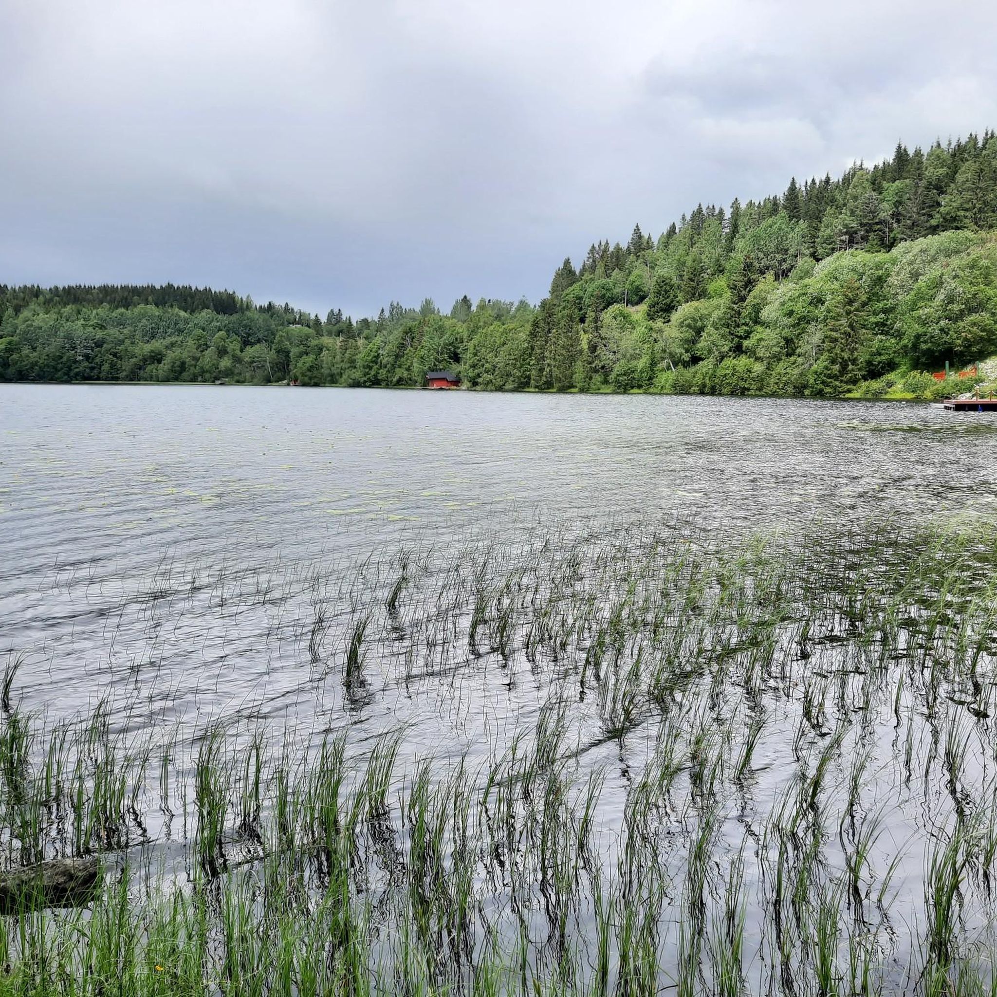
Running Trails in Skotjernfjellet Og Snellingsrøysene Naturreservat
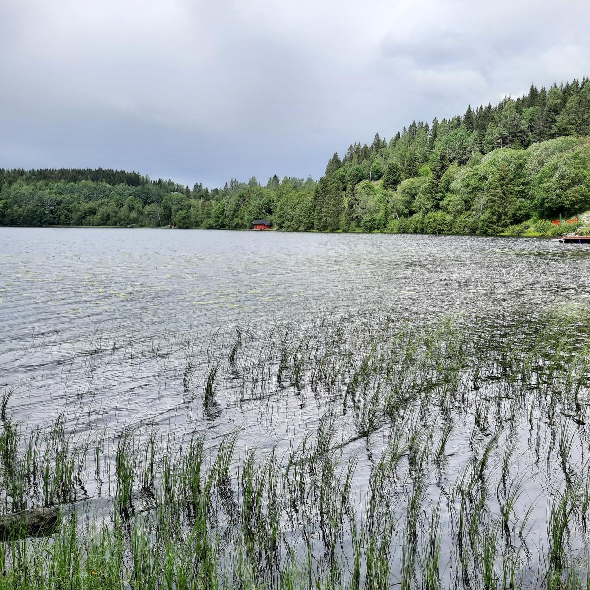
Cycling in Skotjernfjellet Og Snellingsrøysene Naturreservat
Gravel biking in Skotjernfjellet Og Snellingsrøysene Naturreservat
Frequently Asked Questions
Are there designated mountain bike trails within Skotjernfjellet Og Snellingsrøysene Naturreservat?
Skotjernfjellet Og Snellingsrøysene Naturreservat is primarily a protected area focused on preserving old-growth forests and biodiversity. While Norway generally allows cycling on private roads and uncultivated areas, nature reserves often have specific regulations. Information directly detailing designated mountain biking trails or explicit permissions within this specific reserve is not readily available, and cycling might be restricted to protect the delicate ecosystem.
What kind of terrain can I expect when mountain biking in the broader Skotjernfjellet Og Snellingsrøysene Naturreservat region?
The region offers varied terrain, including old-growth forests, numerous bogs, small lakes, minor valleys, and flat hills. Elevations range from 420 to 651 meters, with Skotjernfjellet being the highest point. You'll encounter significant elevation changes and diverse riding conditions.
What are some popular mountain bike routes in the vicinity of Skotjernfjellet Og Snellingsrøysene Naturreservat?
Local mountain bikers enjoy several routes in the surrounding area. One popular option is the Geithaugen loop from Harestua, a moderate 28.3 km trail with significant elevation changes. Another favorite is the Knippahaugen loop from Grua, a 20.7 km route through old-growth forests and hills.
Are there any difficult mountain bike trails in the area?
Yes, for experienced riders seeking a challenge, the Blankfjellet – Jutulen loop from Rustadsaga is a difficult 16.3 km route that offers a demanding ride with considerable elevation changes.
Are there any moderate mountain bike routes that are loop trails?
Absolutely. The Råsjøen Hunting Lodge – Kobbernakken loop from Merramyra is a moderate 20.5 km path that provides a mix of forest paths and open areas around Råsjøen, perfect for a circular ride.
What is the best time of year for mountain biking in this region?
The best time for mountain biking in this region is typically during the warmer months, from late spring to early autumn, when trails are free of snow and ice. The old-growth forests offer pleasant shade in summer, and autumn brings beautiful foliage. Always check local conditions before heading out.
Is the area suitable for family-friendly mountain biking?
Given the varied terrain and significant elevation changes, many of the routes in the immediate vicinity are classified as moderate to difficult. While some sections might be manageable for older, experienced children, the reserve itself is not specifically set up with marked family-friendly mountain biking trails. It's best to research specific routes thoroughly for suitability.
Can I bring my dog on mountain bike trails in the Skotjernfjellet Og Snellingsrøysene Naturreservat area?
While Norway's 'right to roam' generally allows dogs on trails, nature reserves like Skotjernfjellet Og Snellingsrøysene Naturreservat may have specific rules regarding dogs, often requiring them to be on a leash to protect wildlife. It's crucial to check the current regulations for the specific area you plan to visit to ensure compliance.
Where can I find parking for mountain biking near Skotjernfjellet Og Snellingsrøysene Naturreservat?
Parking availability will depend on the specific trailhead you choose. For routes like the Geithaugen loop, you would typically look for parking near Harestua. For the Knippahaugen loop, parking near Grua would be appropriate. Always verify parking options for your chosen starting point beforehand.
Are there any amenities like cafes or accommodation near the mountain biking routes?
The nature reserve itself is a protected wilderness area, so amenities like cafes or dedicated accommodation are not found directly within it. However, you can find various services, including cafes and accommodation, in the nearby towns and villages such as Harestua, Grua, Nannestad, and Lunner, which serve as common starting points for rides in the broader region.
What are the typical trail conditions like in the Skotjernfjellet Og Snellingsrøysene Naturreservat region?
Due to the presence of bogs and varied terrain, trails can range from relatively dry forest paths to potentially muddy or wet sections, especially after rain or during spring thaw. The bedrock is relatively thin, which can influence drainage. Expect a mix of natural surfaces, including roots and rocks, characteristic of old-growth forest environments.
Most popular routes in Skotjernfjellet Og Snellingsrøysene Naturreservat

Get inspired with the komoot mobile app


Explore more
Browse the best MTB trails in other regions.
