The best gravel rides in Ourimbah State Forest
1.0
(1)
46
riders
4
rides
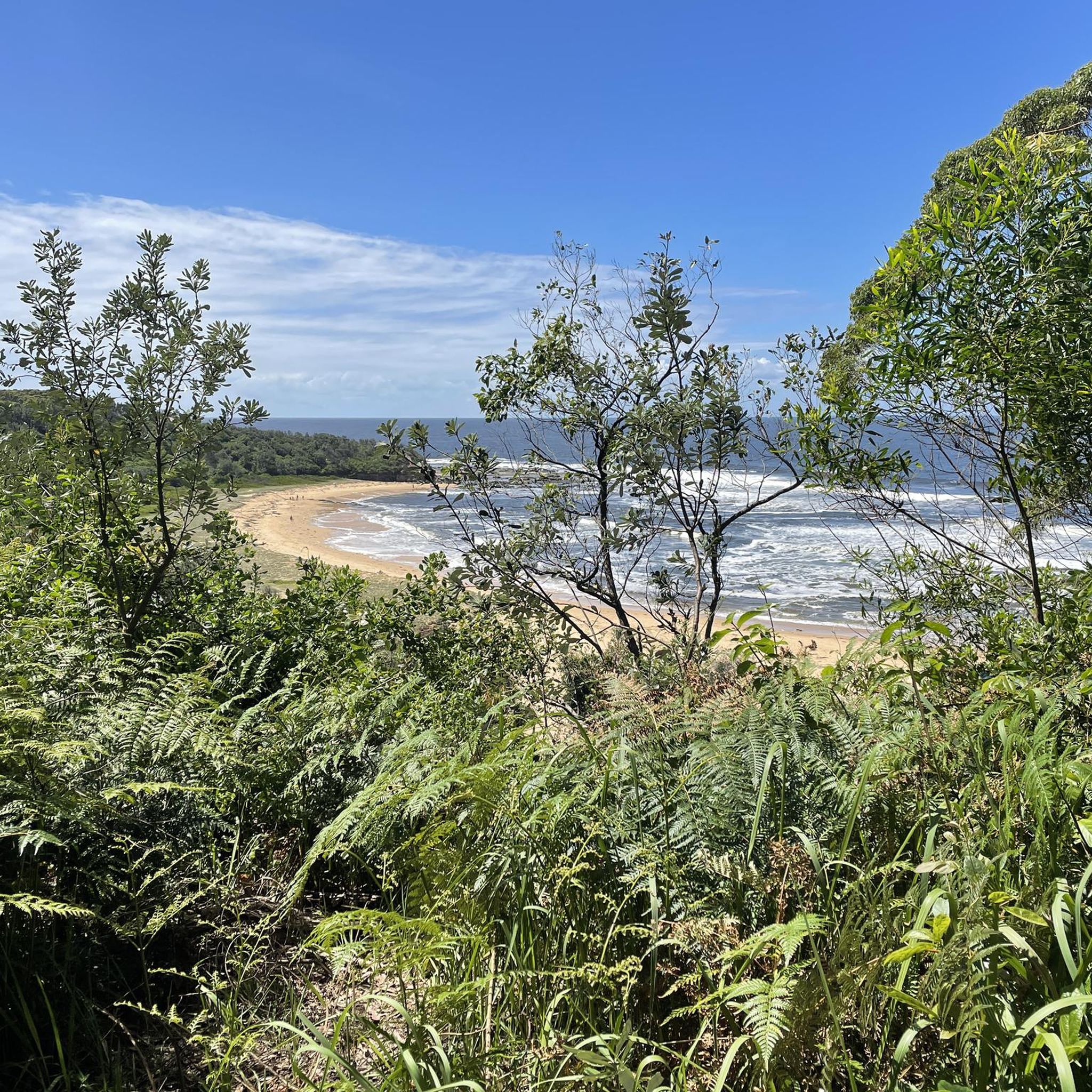
Gravel biking in Ourimbah State Forest offers routes through dense eucalyptus forests and along undulating dirt roads. The terrain primarily consists of challenging climbs and descents, characteristic of a state forest environment. These trails provide an opportunity to explore the natural landscape of the Central Coast region.
Best gravel bike trails in Ourimbah State Forest
- The most popular gravel bike trail is Ourimbah Mountain Bike Park – Bumble Hill Climb loop from Alison, a 27.2 miles (43.8 km) trail that takes 2 hours 58 minutes to complete. This route features significant elevation gain through forest paths.
- Another top favourite among local gravel bikers is Brush Creek Ascent loop from Wyong, a difficult 58.7 miles (94.5 km) path. This trail involves extensive climbing through varied forest scenery.
- Local gravel bikers also love the Brush Creek Ascent – The Basin Campground loop from Wyong, a 65.8 miles (105.9 km) trail leading through forested hills, often completed in about 8 hours 32 minutes.
- Gravel biking in Ourimbah State Forest is defined by dense eucalyptus forests, challenging ascents, and extensive dirt roads. The network offers options for experienced gravel bikers seeking demanding routes.
- The guide includes highly-rated routes that showcase the best of the region's landscape. More than 40 gravel bikers have used komoot to explore Ourimbah State Forest's varied terrain.
Last updated: July 5, 2026
1.0
(1)
4
riders
43.8km
02:58
640m
640m
Hard gravel ride. Very good fitness required. Mostly paved surfaces. Suitable for all skill levels.
14
riders
94.5km
07:26
1,380m
1,380m
Hard gravel ride. Very good fitness required. Mostly paved surfaces. Suitable for all skill levels.

Sign up for free
24
riders
99.8km
08:02
1,500m
1,500m
Hard gravel ride. Very good fitness required. Mostly paved surfaces. Suitable for all skill levels.
Our route recommendations are based on thousands of hikes, rides, and runs completed by other people on komoot.
Start today with a free account
Your next adventure awaits.
Login or Signup


Tips from the Community

Great trails for gravity riders, flow fans or x-country loops. Well maintained by a dedicated group of trail fairies. Please respect the closures due to weather and keep the condition good for all.
1
0

Great to start in Cooranbong park at the turnoff to Martinsville.
0
0
This is just a milestone achieved by a steep and long ascent. Great to start in Cooranbong park at the turnoff to Martinsville.
0
0

Great park with a wide variety of trails to suit different interests and riding styles. Long double track fire trails around the perimeter, great XC trails, gravity and downhill. Well worth a look if you're in the area. Well maintained by the local Central Coast MTB club.
2
0
Frequently Asked Questions
What is the general difficulty level for gravel biking in Ourimbah State Forest?
Gravel biking in Ourimbah State Forest is generally challenging. All routes listed are classified as difficult, featuring significant elevation gains and undulating dirt roads through dense eucalyptus forests.
Are there any beginner-friendly gravel bike trails in Ourimbah State Forest?
Currently, all gravel bike routes in Ourimbah State Forest listed on komoot are classified as difficult. They involve substantial climbs and descents, making them more suitable for experienced gravel bikers.
What are the typical lengths of gravel bike trails in Ourimbah State Forest?
The gravel bike trails in Ourimbah State Forest vary in length, generally ranging from approximately 43 kilometers (27 miles) to over 100 kilometers (62 miles). For example, the Ourimbah Mountain Bike Park – Bumble Hill Climb loop from Alison is about 43.8 km, while the Brush Creek Ascent – The Basin Campground loop from Wyong extends to 105.9 km.
Are there any loop gravel bike routes available in Ourimbah State Forest?
Yes, all the gravel bike routes highlighted in Ourimbah State Forest are designed as loops. This allows riders to start and finish at the same point, such as the Brush Creek Ascent loop from Wyong or the Brush Creek Ascent loop from Yarramalong.
Where can I find parking for gravel biking in Ourimbah State Forest?
While specific parking areas are not detailed for each route, Ourimbah State Forest typically offers designated parking at trailheads or within the forest boundaries. It's advisable to check the starting point of your chosen route for the most convenient parking options.
What is the best time of year for gravel biking in Ourimbah State Forest?
The Central Coast region, where Ourimbah State Forest is located, generally experiences mild winters and warm summers. Autumn and spring often provide the most comfortable temperatures for gravel biking, avoiding the peak heat of summer and potential wet conditions in winter. Always check local weather forecasts before heading out.
What kind of wildlife might I encounter on the gravel trails?
Ourimbah State Forest is home to diverse Australian wildlife. While riding through the dense eucalyptus forests, you might spot various bird species, wallabies, and other native animals. Always ride cautiously and respect their natural habitat.
Are there any cafes or places to get refreshments near the gravel trails?
Ourimbah State Forest is a natural area, and direct access to cafes or refreshment stops along the trails is limited. It's recommended to carry sufficient water and snacks for your ride. You may find amenities in nearby towns like Ourimbah, Wyong, or Yarramalong before or after your ride.
What should I wear for gravel biking in Ourimbah State Forest?
Given the challenging terrain and varying weather, wear appropriate cycling gear including a helmet, padded shorts, and layers of moisture-wicking clothing. Sturdy gravel-specific shoes are recommended. Always carry rain gear, even if the forecast is clear, as conditions can change rapidly in forest environments.
How many gravel bike trails are available in Ourimbah State Forest on komoot?
There are currently 5 gravel bike routes available in Ourimbah State Forest on komoot. These routes offer a range of challenging experiences through the forest's unique landscape.
What do other gravel bikers enjoy most about Ourimbah State Forest?
The komoot community rates the gravel biking experience in Ourimbah State Forest highly. Riders often praise the challenging climbs, the immersive experience of riding through dense eucalyptus forests, and the opportunity to explore the natural landscape of the Central Coast region.
Are the gravel bike trails in Ourimbah State Forest suitable for families?
Due to the classification of all listed routes as 'difficult' with significant elevation changes and long distances, the gravel bike trails in Ourimbah State Forest are generally not recommended for families with young children or beginner riders. They are better suited for experienced gravel bikers seeking a demanding adventure.
Can I download GPX files for the gravel bike routes?
Yes, for all routes available on komoot, including those in Ourimbah State Forest, you can download the GPX file directly from the tour page. This allows you to navigate the trails using your preferred GPS device or app. Simply visit the specific tour page, such as the Brush Creek Ascent loop from Yarramalong, and look for the GPX download option.
Most popular routes in Ourimbah State Forest

Get inspired with the komoot mobile app


Explore more
Browse the best Gravel rides in other regions.
