The best running trails in Ourimbah State Forest
48
runners
5
runs
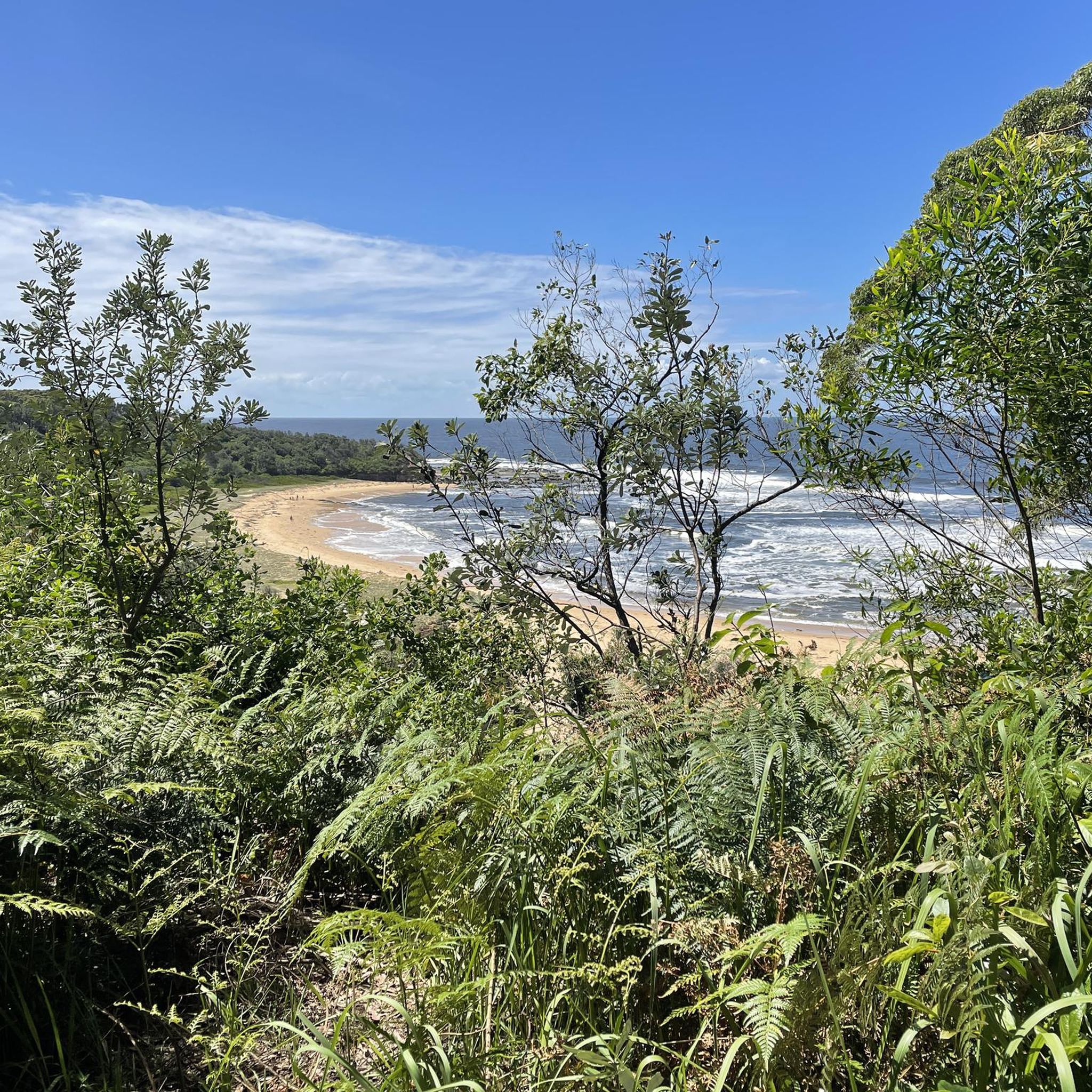
Jogging routes in Ourimbah State Forest traverse diverse landscapes, including towering eucalypt forests, rural valleys, and areas with lush ferns and wide sandy sections. Ourimbah Creek winds through the region, adding to the scenic appeal. The extensive trail network offers pathways suitable for various fitness levels, from flat paths to more challenging routes with elevation changes, rocks, and roots.
Best jogging routes in Ourimbah State Forest
- The most popular jogging route is Car graveyard #2 loop from Pacific Hwy before…
Last updated: June 27, 2026
2
runners
9.98km
01:02
60m
60m
Moderate run. Good fitness required. Mostly paved surfaces. Suitable for all skill levels.
10
runners
Hard run. Very good fitness required. Mostly paved surfaces. Suitable for all skill levels.

Sign up for free
26
runners
28.8km
03:00
80m
80m
Hard run. Very good fitness required. Mostly paved surfaces. Suitable for all skill levels.
2
runners
6.82km
00:43
60m
60m
Moderate run. Good fitness required. Mostly paved surfaces. Suitable for all skill levels.
2
runners
7.39km
00:55
170m
170m
Moderate run. Good fitness required. Mostly paved surfaces. Suitable for all skill levels.
Our route recommendations are based on thousands of hikes, rides, and runs completed by other people on komoot.
Start today with a free account
Your next adventure awaits.
Login or Signup


Tips from the Community

Strickland Falls is a small cascade at the end of Strickland Falls Trail. The waterfalls spill over mossy rocks and into a small pool below. It may not always be visible, as it is seasonal and best flows after rain.
0
0
The Strickland Falls Trail is a loop through subtropical rainforest filled with large trees, ferns, and vines, creating a shaded environment year-round. The track has a few steps and slightly uneven ground as it descends to Strickland Falls, then climbs back up.
0
0
The Banksia Picnic Area sits under tall trees as an open grassy area. Here, there are shaded picnic tables, trailheads, parking, restrooms, and trash bins.
0
0
Frequently Asked Questions
How many running routes are available in Ourimbah State Forest?
Ourimbah State Forest offers a variety of running routes, with komoot featuring 6 distinct trails. These range in difficulty and length, providing options for different fitness levels.
Are there any dog-friendly running trails in Ourimbah State Forest?
Yes, Ourimbah State Forest is known to include dog-friendly areas, making it a great place to enjoy a run with your canine companion. Always ensure your dog is under control and check local signage for specific regulations.
What kind of terrain can I expect on the jogging routes?
The jogging routes in Ourimbah State Forest feature diverse terrain, including towering eucalypt forests, rural valleys, and areas with lush ferns, wide sandy sections, and mossy ground. You'll find a mix of single-track trails for technical runs and wider fire trails for more accessible routes.
Are there routes suitable for families or beginner runners?
While some routes are more challenging, Ourimbah State Forest offers pathways suitable for a range of fitness levels. For example, the Woodbury's Inn Foundations loop from Mardi is a moderate 9.9 km route, and the Narara Duck Pond loop from Narara is a moderate 6.8 km option, both offering less elevation gain than other trails.
What are some of the longer or more challenging running routes?
For experienced runners seeking a challenge, the Tim Farrell Lookout loop from Chittaway Bay is a difficult 28.8 km path with expansive views. Another demanding option is the Car graveyard #2 loop from Pacific Hwy before Dalgety Rd, a difficult 23.2 km trail with significant elevation gain.
Are there any scenic viewpoints or landmarks along the trails?
Joggers can enjoy unique views, especially from elevated sections of the forest. Trails like the 'Roller Coaster' offer fun, fast sections through the trees, and 'Jurassic Park' leads through lush, almost rainforest-like flora. The Tim Farrell Lookout loop specifically highlights a scenic viewpoint.
What is the best time of year to go jogging in Ourimbah State Forest?
Ourimbah State Forest is suitable for outdoor activities year-round. However, for the most comfortable experience, consider visiting during the cooler months of autumn and spring to avoid the peak heat of summer, especially on longer routes. Always check local weather conditions before heading out.
Is there parking available at the trailheads?
While specific parking details for each trailhead are best checked on individual route pages, Ourimbah State Forest generally provides access points with parking facilities. For example, the Strickland State Forest loop starts near Banksia Picnic Area, which typically has parking.
Can I access Ourimbah State Forest by public transport?
Public transport options to Ourimbah State Forest may be limited. It is advisable to check local bus schedules or plan for private transport to reach the various trailheads within the forest. For general information about the area, you can visit the Central Coast Council website.
What other activities are available in Ourimbah State Forest besides jogging?
Beyond jogging, Ourimbah State Forest is a hub for adventure tourism. The privately-owned TreeTop Adventure Park offers activities like rope bridges, flying foxes, and a roller-coaster zipline, providing an alternative for visitors or family members not jogging.
What do other runners say about the trails in Ourimbah State Forest?
Over 50 runners have used komoot to explore Ourimbah State Forest's varied terrain. Users often praise the diverse forest environments, from towering eucalypts to lush, rainforest-like sections, and the extensive network of trails that cater to different abilities.
Are there any circular running routes in the forest?
Yes, many of the running routes in Ourimbah State Forest are designed as loops, allowing you to start and finish at the same point. Examples include the Car graveyard #2 loop, Woodbury's Inn Foundations loop, and the Strickland State Forest loop.
Most popular routes in Ourimbah State Forest

Get inspired with the komoot mobile app


Explore more
Browse the best Running Trails & Routes in other regions.
