The best cycling routes around Strandafjorden
4.0
(4)
49
riders
7
rides
Best cycling routes Strandafjorden traverse a landscape characterized by the Strondafjorden lake, situated at 1,165 ft (355 meters) above sea level, with a circumference of 29 miles (46 km). The region features diverse terrain, including accessible lakeside paths, tranquil forests, and valleys that lead towards higher mountain areas. Cycling routes often follow the lake's shores and integrate into national cycling networks, providing varied elevation profiles.
Best touring cycling routes around Strandafjorden
- The most popular touring cycling route is Vangebrue Bridge…
Last updated: July 1, 2026
8
riders
9.24km
00:36
60m
60m
Easy bike ride. Great for any fitness level. Mostly paved surfaces. Suitable for all skill levels.
4.0
(2)
10
riders
22.0km
01:30
250m
250m
Moderate bike ride. Good fitness required. Mostly paved surfaces. Suitable for all skill levels.

Sign up for free
4.0
(1)
6
riders
62.5km
04:18
890m
890m
Hard bike ride. Very good fitness required. Mostly paved surfaces. Suitable for all skill levels.
6
riders
129km
09:18
2,010m
2,010m
Hard bike ride. Very good fitness required. Mostly paved surfaces. Suitable for all skill levels.
9
riders
Hard bike ride. Very good fitness required. Mostly paved surfaces. Suitable for all skill levels.
Get access to more routes and recommendations from other explorers.
Sign up for free
Already have an account?
Our route recommendations are based on thousands of hikes, rides, and runs completed by other people on komoot.
Start today with a free account
Your next adventure awaits.
Login or Signup
Popular around Strandafjorden
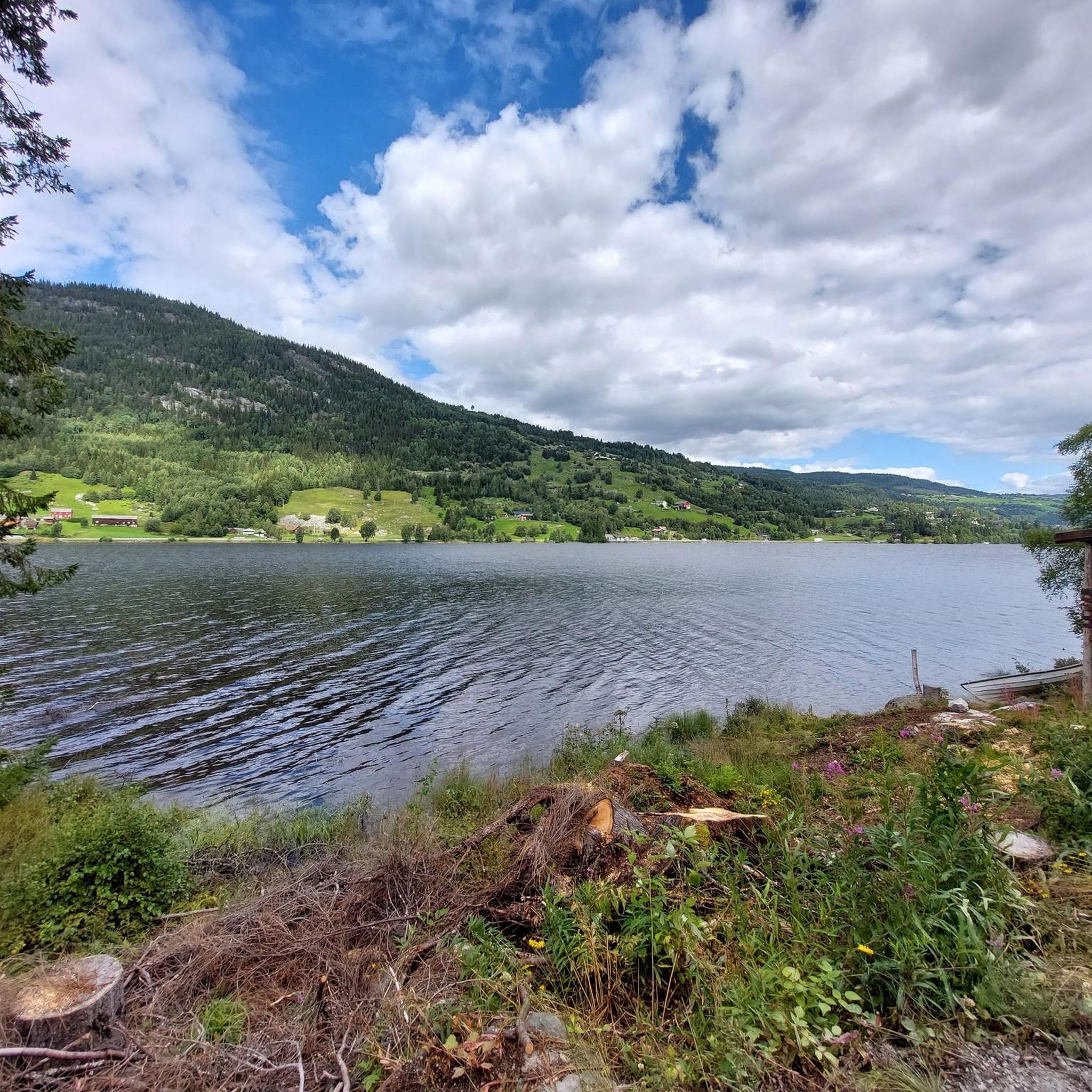
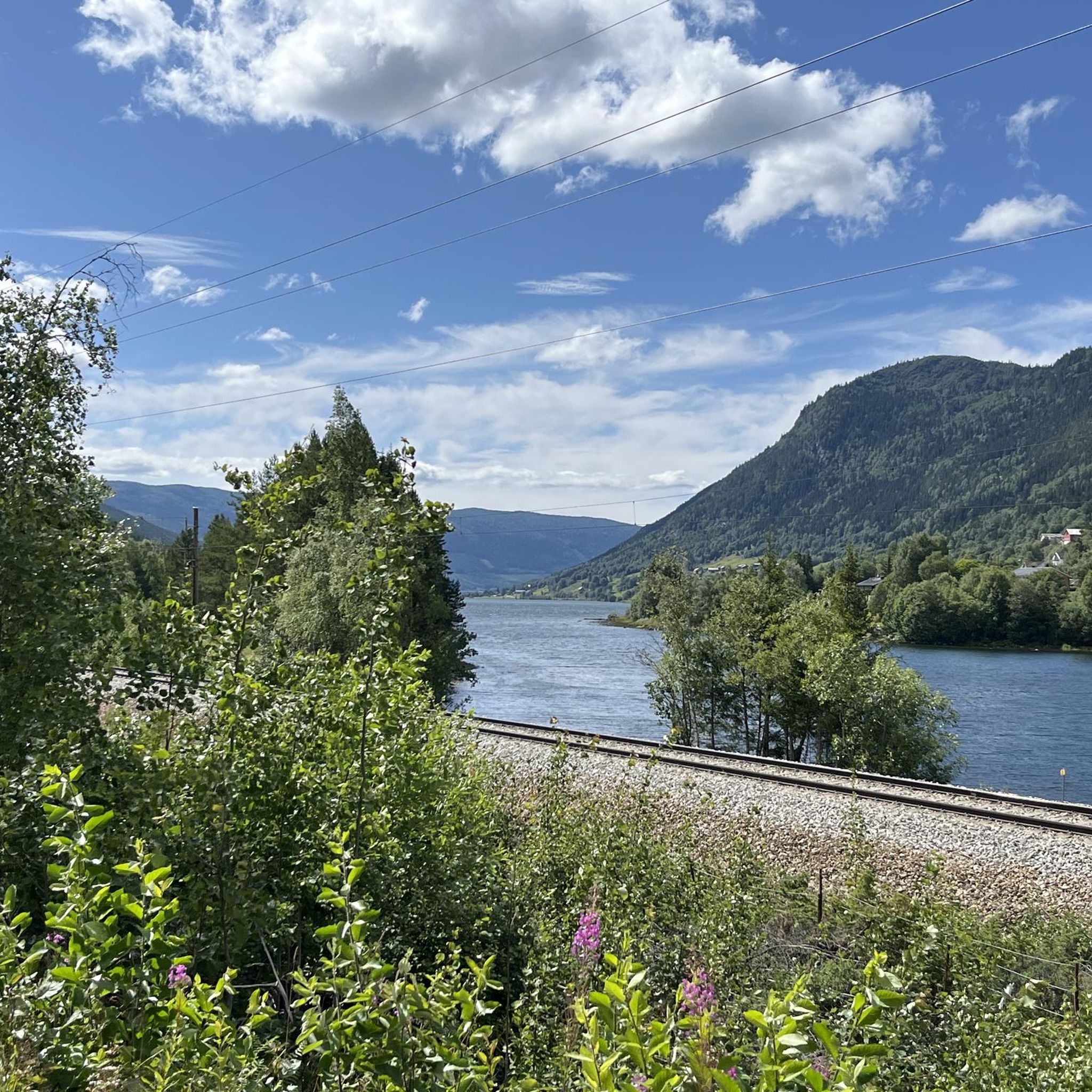
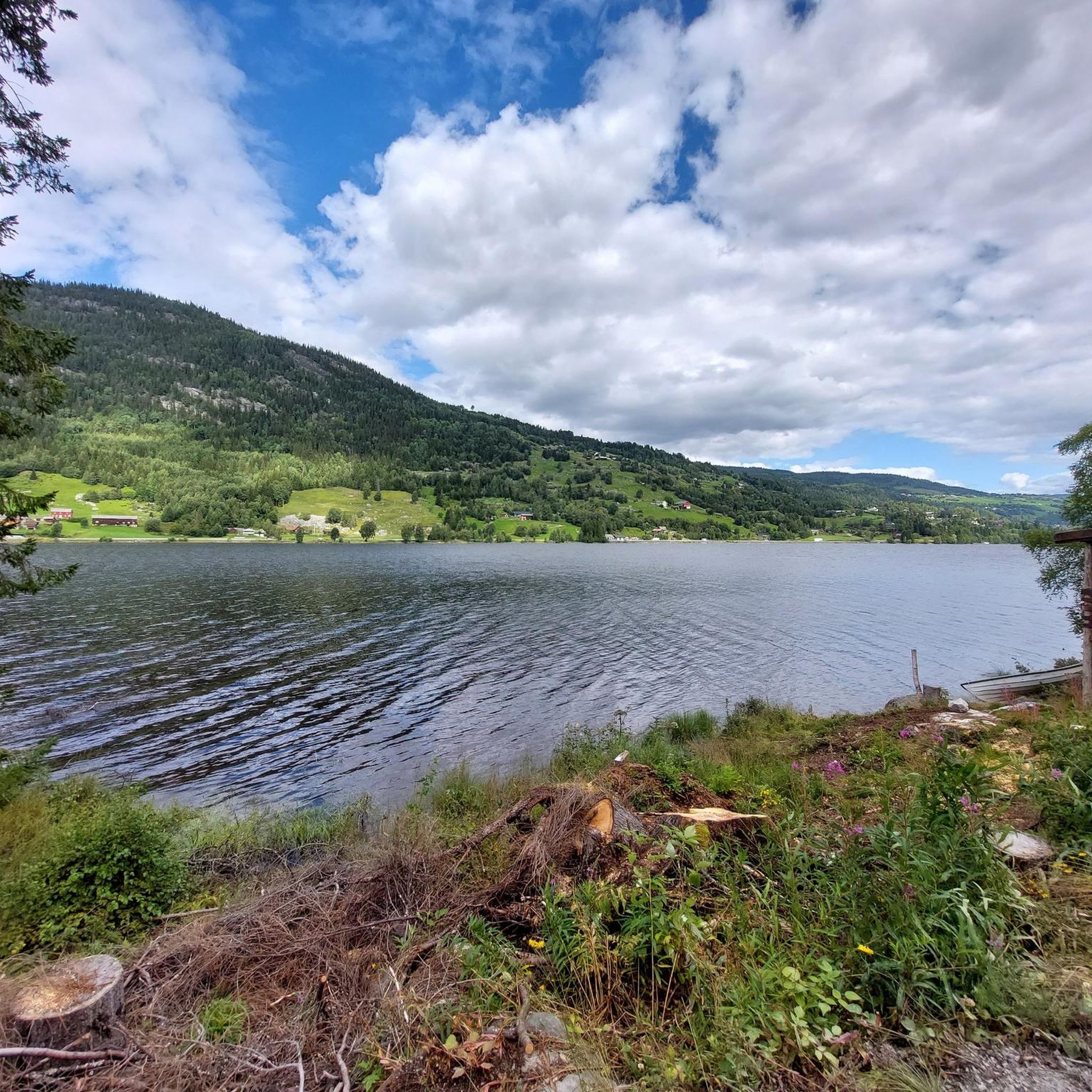
Tips from the Community

From here you have beautiful views out over Fløgatjerne, Haugatjerne, and Nordre Holleskardtjerne lakes, along with some other smaller ones dotted about the place. Fløgatjerne is particularly attractive, as it has a little peninsula that nearly splits the lake in two.
0
0

Wooden bridge over the Hallingdal River. The river is quite wild here!
0
0

Here's a good spot where you can get right to the "cliffs" in the Hemsil, at least when the water level is 'normal' 😁
0
0
From here you can easily get to the other side of the Hemsil to explore the side away from the main road.
0
0

You can still cross the bridge while carrying your bike. The path along the bridge is generally quite overgrown and is more suitable for a mountain bike than a gravel bike. As you continue, the path gets better and is then easy to ride with a gravel bike.
1
0
Beautiful route along the Strandafjord - slightly shady, easy to ride.
0
0

You can see him from a distance
0
0
The first part is steep and asphalted. At about this point the gravel slowly begins to appear
0
1
Frequently Asked Questions
How many touring cycling routes are available around Strandafjorden?
There are 7 touring cycling routes documented around Strandafjorden on komoot, offering a variety of experiences for cyclists. These routes range from easy lakeside paths to more challenging mountain ascents.
Are there any easy touring cycling routes suitable for beginners or families?
Yes, Strandafjorden offers easy routes perfect for beginners or families. An excellent option is the Vangebrue Bridge – Hallingdalselve-Uferweg loop from Trolløyne, which is 5.7 miles (9.2 km) long and follows the Hallingdalselve river. The region research also highlights an easy 18 km road loop around the lake between Leira and Fagernes, known for its flat terrain and minimal traffic.
Can I find challenging touring cycling routes with significant elevation gains?
Absolutely. For experienced touring cyclists seeking a challenge, Strandafjorden provides several difficult routes. The Hallingdalselve-Uferweg – View of Hemsedal loop from Ål is a demanding 127.7 km route with over 2000 meters of elevation gain. Another challenging option is the National Cycle Route 4 and 5 – Strandafjord Lakeside Path loop from Sangefjellet, which covers 36.4 km with significant climbs.
Are there any circular touring cycling routes around Strandafjorden?
Yes, many of the touring cycling routes around Strandafjorden are designed as loops, allowing you to start and end at the same point. Examples include the Strandafjord Lakeside Path – National Cycle Route 4 and 5 loop from Ål and the Vangebrue Bridge – Strandafjorden Lake loop from Ål, which offers a longer, more extensive circular tour.
What kind of natural features and viewpoints can I expect to see along the routes?
Touring cycling routes around Strandafjorden offer stunning natural features and viewpoints. You'll experience continuous fjord views along the lake's shores, tranquil forests, and valleys leading towards higher mountain areas. The region is also known for waterfalls, such as the 37-meter Faslefoss, which can be incorporated into routes. The Strandafjord Lakeside Path itself provides many scenic vistas.
Are there any waterfalls accessible or visible from the cycling routes?
Yes, the region around Strandafjorden features impressive waterfalls. The 37-meter Faslefoss waterfall is a notable natural attraction. Some cycling routes, such as the 'Waterfall loop from Fejordet' mentioned in regional research, are specifically designed to include these natural wonders. You can also find the National Cycle Route 4 and 5 – Waterfall Section highlight.
What are some interesting landmarks or attractions to explore near the cycling paths?
Beyond the cycling itself, you can explore several interesting landmarks and attractions. The Vangebrue Bridge is a notable point of interest. In nearby Ål, you can find cultural sites like Gallery Syningen and the Rolf Nesch Museum, or enjoy the family-friendly beach. The broader Valdres region also offers cultural insights such as Fekjo Culture Monument Park and Geilojordet.
Is Strandafjorden part of any national cycling networks?
Yes, Strandafjorden is well-integrated into national cycling networks. Several routes, such as the Strandafjord Lakeside Path – National Cycle Route 4 and 5 loop from Ål, incorporate sections of National Cycle Route No. 4. This route is known for offering a relatively easy ride, with parts passing along the charming Strandafjorden. For more information on Norway's national cycling routes, you can visit Visit Norway.
What do other touring cyclists enjoy most about cycling in Strandafjorden?
The area is highly rated by the komoot community, with an average score of 4.0 stars from over 4 reviews. Reviewers often praise the scenic fjord views, the tranquility of the forests, and the diverse terrain that caters to various skill levels. Many appreciate the integration of routes into national cycling networks, providing well-established paths for exploration.
What is the best time of year to go touring cycling in Strandafjorden?
The best time for touring cycling in Strandafjorden is typically during the warmer months, from late spring to early autumn. During this period, the weather is generally mild, and the routes are clear of snow and ice, offering optimal conditions to enjoy the fjord views and natural landscapes. Summer provides the longest daylight hours and the most pleasant temperatures.
Are there options for parking near the cycling routes?
While specific parking locations for each route are not detailed in the guide, the presence of towns like Fagernes and Ål, and the European route E16 highway running along the north shore of Strandafjorden, suggest that parking facilities would be available in these populated areas or at designated trailheads. It's advisable to check local information for specific parking spots before your trip.
Can I reach Strandafjorden's cycling routes using public transport?
The European route E16 highway runs along the north shore of Strandafjorden, indicating good road access to the area. While specific public transport links directly to trailheads are not provided, towns like Fagernes and Ål are likely served by regional bus routes, which could provide access to the general vicinity of the cycling paths. It's recommended to check local bus schedules for connections to these towns.
Most popular attractions around Strandafjorden

Get inspired with the komoot mobile app


Explore more
Browse the best Cycling routes in other regions.
