The best road cycling routes around Strandafjorden
30
riders
4
rides
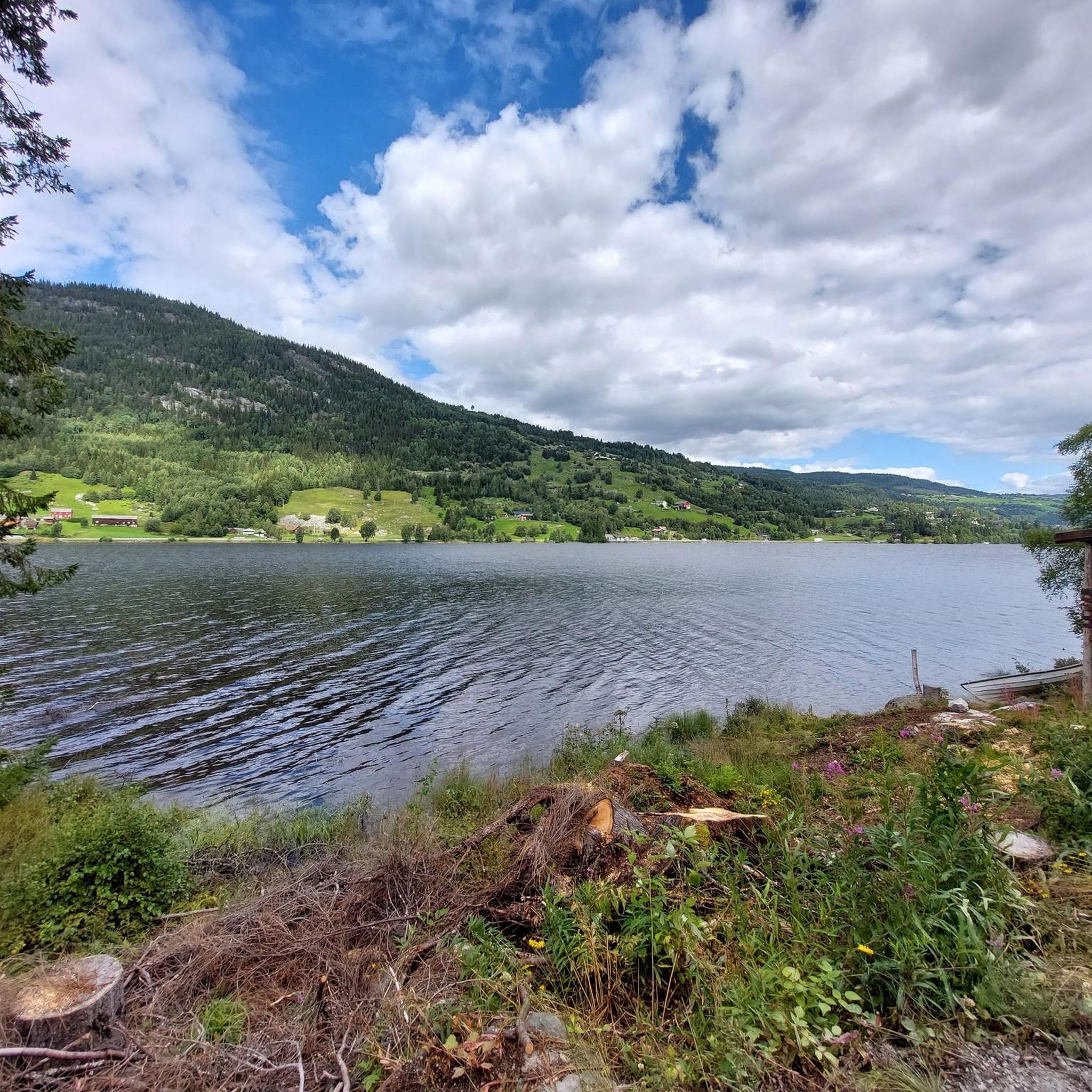
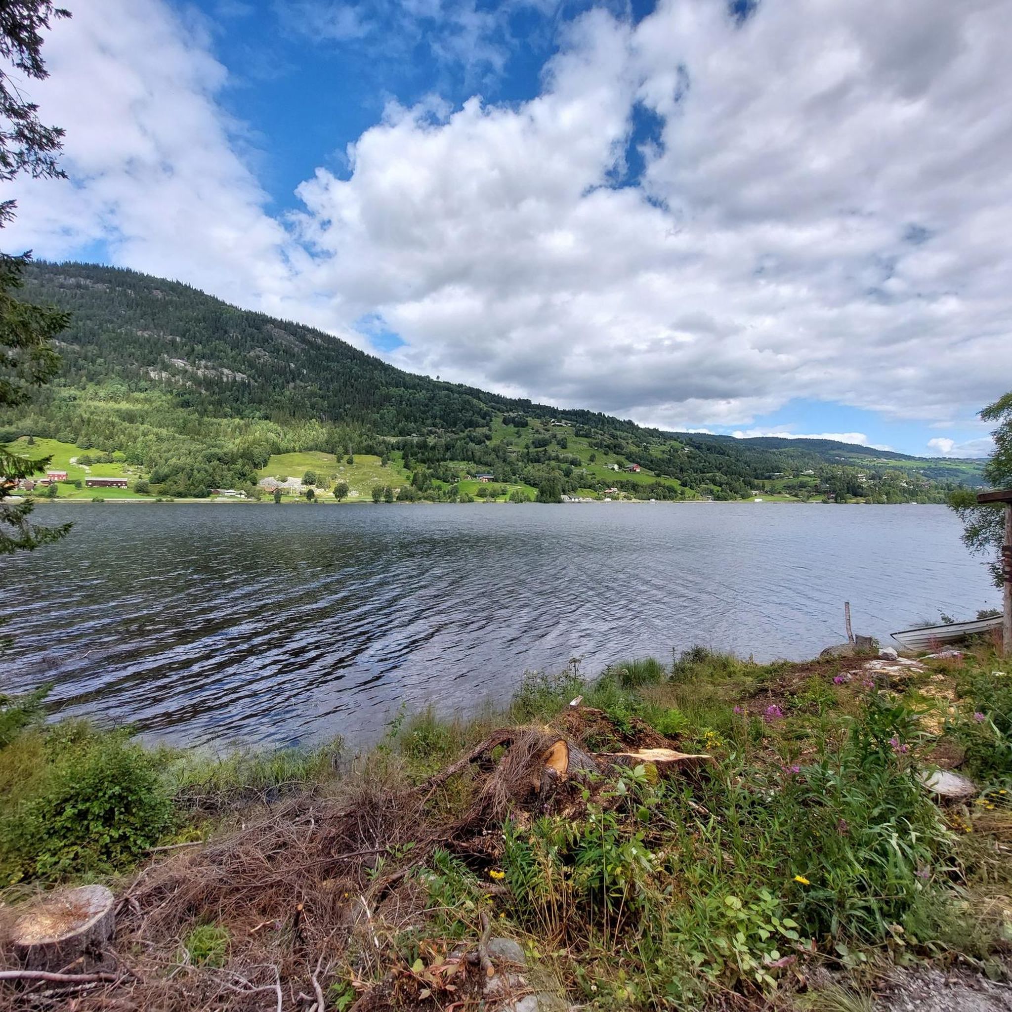
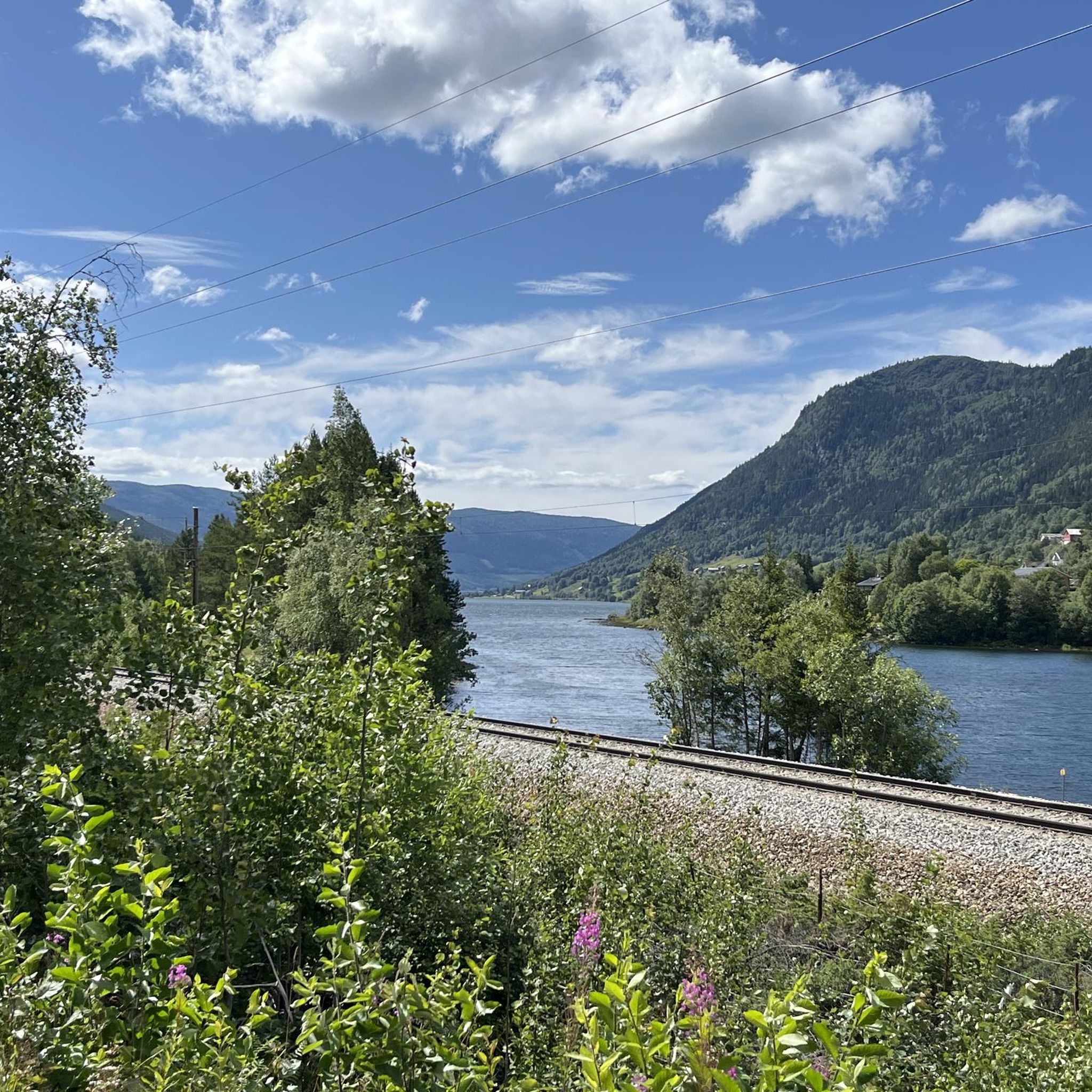
Road cycling around Strandafjorden offers routes through the scenic Valdres region of Norway, characterized by its prominent lake, Strondafjorden, and surrounding valleys. The area features varied terrain, from flat lakeside paths to routes with significant elevation gain, catering to different fitness levels. Roads often follow the lake's edge, providing continuous views, while others venture into the broader Hallingdal Valley. The region's landscape includes mountains, rivers, and the regulated Strondafjorden lake, which sits at an elevation of 355 meters (1,165 ft).
…Last updated: July 7, 2026
2
riders
62.4km
03:49
1,040m
1,040m
Hard road ride. Very good fitness required. Some segments of this route may be unpaved and difficult to ride.
4
riders
90.8km
06:54
1,600m
1,600m
Hard road ride. Very good fitness required. Some segments of this route may be unpaved and difficult to ride.

Sign up for free
9
riders
147km
07:30
1,890m
1,890m
Hard road ride. Very good fitness required. Some segments of this route may be unpaved and difficult to ride.
15
riders
107km
04:53
920m
920m
Hard road ride. Very good fitness required. Some segments of this route may be unpaved and difficult to ride.
Our route recommendations are based on thousands of hikes, rides, and runs completed by other people on komoot.
Start today with a free account
Your next adventure awaits.
Login or Signup
Popular around Strandafjorden
Tips from the Community

This gravel road tops out at around 600 m (1,970 ft) and has a really good surface – well-packed gravel that’s easy to roll. Perfect for enjoying the open views without worrying about technical riding.
1
0

Wooden bridge over the Hallingdal River. The river is quite wild here!
0
0
Train station in Geilo. The Bergen / Oslo train runs here. Stops en route: Sandvika, Asker, Drammen, Hokksund, Vikersund, Hønefoss, Nesbyen, Gol, Ål, Ustaoset, Haugastøl, Finse, Hallingskeid, Myrdal (transfer option to the Flåm Railway), Upsete, Mjølfjell and Voss.
0
0

Charming open-air museum with old buildings and loads of local history – easy to wander and imagine life back then.
0
0

Geilo is a nice mountain commune with shops, restaurants and camping
0
0

Nice bridge and good connection across the end of Strandafjord.
0
0
Super nice little road, almost flat and away from traffic.
2
0
Frequently Asked Questions
What kind of terrain can I expect on road cycling routes around Strondafjorden?
The Strondafjorden region offers a mix of terrain suitable for road cycling. You'll find relatively flat, paved lakeside paths, such as the 18-kilometer Strandefjorden road loop between Leira and Fagernes, which provides continuous lake views. Other routes venture into the broader Hallingdal Valley and can include significant elevation gains, with some reaching up to 520 meters above sea level and involving over 1500 feet of climbing. Some longer routes may also feature unpaved sections.
Are there any easy road cycling routes suitable for beginners or families?
Yes, for an easier experience, the 18-kilometer Strandefjorden road loop between Leira and Fagernes is a popular choice. It features flat terrain, minimal traffic, and continuous lake views, making it suitable for all skill levels and families. Additionally, the Elvelangs in Ål trail, while primarily a walking path, is also suitable for biking and is wheelchair and stroller accessible, offering an idyllic 3-kilometer ride along the Hallingdal river.
What are some notable landmarks or viewpoints along the road cycling routes?
Cyclists can enjoy serene lake views along the prominent Strondafjorden itself. Points of interest include the charming Vangebrue Bridge, a narrow bridge built in 1953. The region is also home to the Faslefoss waterfall, located at the dam's outlet at the south end of the lake. Many routes offer picturesque views of the surrounding mountains and valleys characteristic of the Norwegian landscape.
Can I find challenging road cycling routes in the Strondafjorden area?
Absolutely. For experienced road cyclists seeking a challenge, routes like the Hagafossen – Tingvollane loop from Geilotjørne offer a difficult 92.1 km path with substantial climbing, requiring good fitness. Another demanding option is the Scenic Side Road in Norway – Ylifossen loop from Gol, a 146.1 km trail with significant elevation gain, often taking over 7 hours to complete.
Are there any circular road cycling routes around Strondafjorden?
Yes, many of the road cycling routes in the area are designed as loops. For instance, the Hagafossen – Tingvollane loop from Ål is a popular 61.3 km route that offers a moderate challenge. The 18-kilometer Strandefjorden road loop is also a great circular option for an easier ride with continuous lake views.
What kind of natural features can I explore while road cycling here?
The region is rich in natural beauty. You'll cycle alongside the expansive Strondafjorden, which stretches 17 kilometers, offering constant lakeside scenery. The Hallingdalselva river flows through the area, and you can also find the 37-meter tall Faslefoss waterfall. The routes often provide views of the surrounding mountains and valleys, characteristic of the Norwegian countryside.
What do other road cyclists enjoy most about road cycling in Strondafjorden?
Road cyclists frequently praise the diverse landscape, which combines serene lakeside paths with more challenging routes through valleys and mountains. The continuous lake views, especially on the easier loops, are a highlight. The region's natural features, such as the Vangebrue Bridge and the Faslefoss waterfall, also add to the scenic experience.
Are there any adventure parks or other activities near the cycling routes?
Yes, for those looking for additional activities, the Høyt & Lavt Hallingdal Adventure Park in Ål offers climbing, high ropes courses, and zip lines, including one over the river. It also has playgrounds, making it a great option for families.
What is the best time of year to go road cycling around Strondafjorden?
While specific weather data isn't provided, the region's description suggests that summer offers ideal conditions for road cycling. The Norwegian landscape, with its lakes and valleys, is typically most accessible and enjoyable during the warmer months, allowing for comfortable rides and full appreciation of the scenic views.
Are there options for bike rental in the Strondafjorden area?
The towns of Fagernes and Leira, located at the southeastern end of Strondafjorden, are key hubs in the region. While specific rental shops are not listed, these towns would be the most likely places to inquire about bike rental services for exploring the surrounding routes.
Can I find cafes or accommodation near the road cycling routes?
The town of Fagernes, situated at the southeastern end of Strondafjorden, is a central point in the region. It's a good place to look for cafes, pubs, and accommodation options. Other smaller settlements along the lake and in the Hallingdal Valley may also offer services for cyclists.
Are there any road cycling routes that pass by waterfalls?
Yes, the region features the Faslefoss waterfall, located at the dam's outlet at the south end of Strondafjorden. While not all routes pass directly by it, the Scenic Side Road in Norway – Ylifossen loop from Gol is noted for leading through valleys and past natural features, including waterfalls. Another route, the Vermefoss – Bukkesteinfossen loop from Gol, also suggests proximity to waterfalls with its name.
Most popular attractions around Strandafjorden

Get inspired with the komoot mobile app


Explore more
Browse the best Road cycling routes in other regions.
