The best running trails around Selura
4.0
(2)
27
runners
5
runs
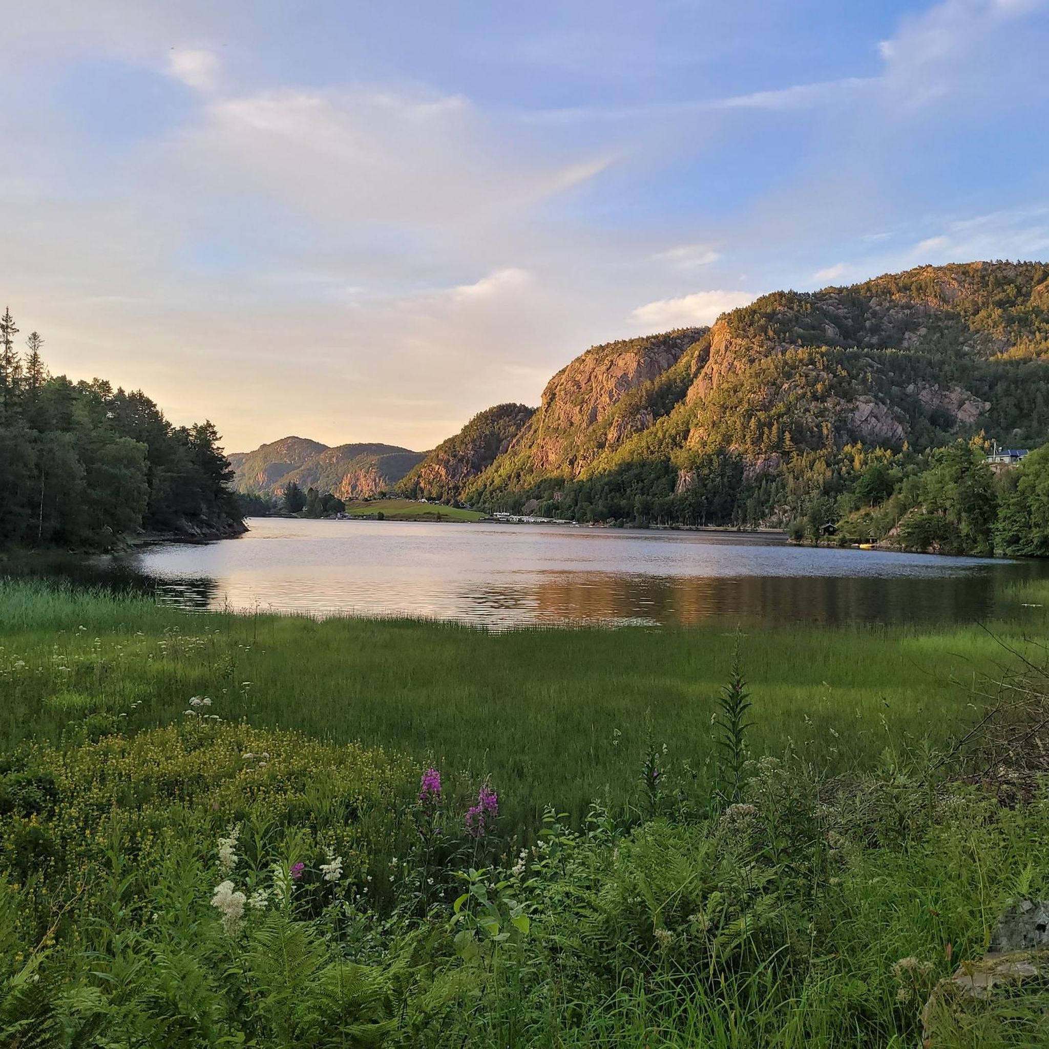
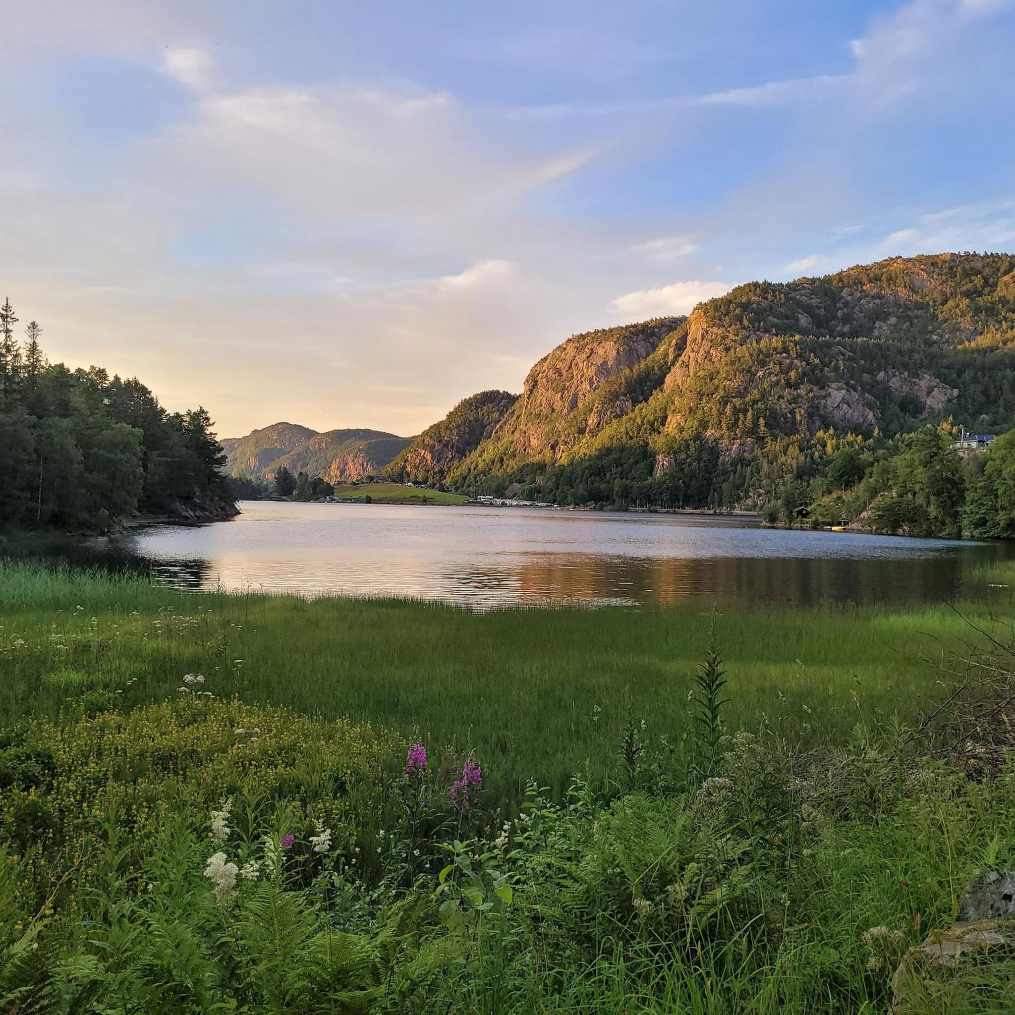
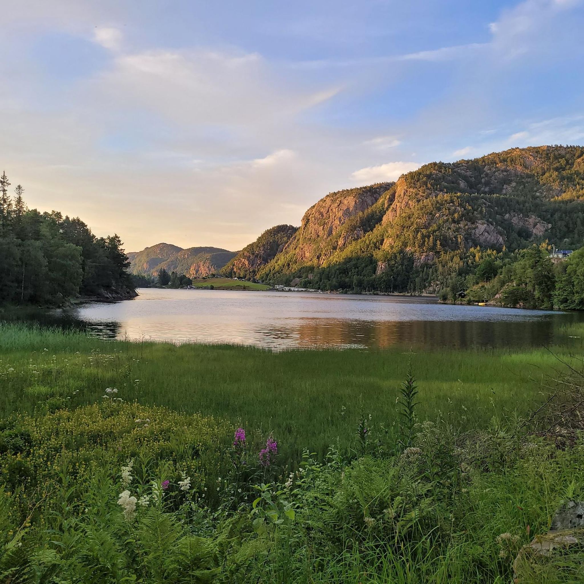
Jogging routes around Selura offer diverse terrain in the Flekkefjord municipality of Agder county, Norway. The region is characterized by the large Selura lake, covering 6.01 square kilometers, with a steep mountainside to its east and a notable moraine ridge to the south. The lake's substantial shore length of approximately 19.6 miles (31.5 km) provides opportunities for varied running experiences. The landscape includes pastoral areas near farms and elevation changes from the surrounding hills.
Best jogging routes around Selura
- The most popular jogging route is Midtre Skuten – Heimre Skuten loop from Nuland, a 5.5 miles (8.9 km) trail that takes 1 hour 1 minute to complete. This route offers moderate climbs and views of the lake and surrounding natural features.
- Another top favourite among local runners is Jomfruvann loop from Flekkefjord kirke, a moderate 4.4 miles (7.1 km) path. This trail winds through varied landscapes with noticeable elevation changes, providing a good workout.
- Local runners also love the Søylandstjødn loop from Flekkefjord kirke, a 4.2 miles (6.8 km) trail leading through forested areas and open terrain, often completed in about 51 minutes.
- Jogging around Selura is defined by a large lake, a steep mountainside, and a moraine ridge. The network offers options for different ability levels, from moderate paths to more challenging ascents.
- The routes in Selura are highly rated by the komoot community with an average score of 4.0 stars from over 2 reviews. More than 20 runners have used komoot to explore Selura's varied terrain.
Last updated: May 20, 2026
3.0
(1)
8
runners
8.86km
01:01
260m
260m
Moderate run. Good fitness required. Mostly paved surfaces. Suitable for all skill levels.
3
runners
5.97km
00:59
370m
370m
Hard run. Very good fitness required. Mostly paved surfaces. Suitable for all skill levels.

Sign up for free
10
runners
6.75km
00:51
180m
180m
Moderate run. Good fitness required. Mostly paved surfaces. Suitable for all skill levels.
5.0
(1)
4
runners
7.08km
00:54
220m
220m
Moderate run. Good fitness required. Mostly paved surfaces. Suitable for all skill levels.
2
runners
Moderate run. Good fitness required. Mostly paved surfaces. Suitable for all skill levels.
Our route recommendations are based on thousands of hikes, rides, and runs completed by other people on komoot.
Start today with a free account
Your next adventure awaits.
Login or Signup
Popular around Selura
Tips from the Community

From the path that leads straight to the lake, you have a fantastic view across the water and the shore.
0
0
From this spot, you have a fantastic view of Raudlivatnet and the surrounding area.
1
0
Frequently Asked Questions
What kind of terrain can I expect on the running routes around Selura?
The landscape around Selura offers a diverse mix of terrain. You'll find routes with moderate climbs and descents, as well as more challenging ascents, particularly on the eastern side where a steep mountainside provides a dramatic backdrop. The area also features a notable moraine ridge to the south, contributing to varied elevation changes. Many paths wind through forested areas, open terrain, and along the lake's substantial shoreline.
Are there any easy or beginner-friendly jogging routes in the Selura area?
While most routes around Selura are rated as moderate, offering a good workout, there are options suitable for those looking for less strenuous runs. For example, the Raudlivatnet loop from Rauli is a moderate 4.7 km path that can be completed in under 40 minutes, providing a good option for beginners or a shorter, quicker run.
What are some natural features or viewpoints I might encounter while running near Selura?
Jogging around Selura offers scenic views of the large lake itself, which covers over 6 square kilometers. You'll also encounter the steep mountainside to the east and the unique Egenes moraine ridge to the south near Nulandsvika. The routes often provide glimpses of the surrounding pastoral areas with farms like Lilledrange, Glendrange, and Stordrange, and the tranquil outflow of the lake, Selurelva, towards Flekkefjorden.
Are there any circular running routes available around Selura?
Yes, several of the popular running routes in the Selura area are circular, allowing you to start and end at the same point. Examples include the Midtre Skuten – Heimre Skuten loop from Nuland, the Søylandstjødn loop from Flekkefjord kirke, and the Jomfruvann loop from Flekkefjord kirke. These loops provide varied scenery without needing to retrace your steps.
Where can I park when planning a run around Selura?
Parking is available at several convenient locations. The Selura – Svinevika bathing place, a child-friendly sandy beach, offers parking facilities and is an accessible starting point for runs. Additionally, routes like the Midtre Skuten – Heimre Skuten loop start from Nuland, and other routes originate near Flekkefjord kirke, where parking options may also be available.
What do other runners think about the trails in Selura?
The running routes in Selura are highly regarded by the komoot community, holding an average rating of 4.0 stars from over 2 reviews. Runners often appreciate the diverse terrain, the scenic views of the lake and surrounding nature, and the variety of options available for different fitness levels.
How long are the typical running routes in the Selura region?
The running routes in the Selura region vary in length, generally ranging from approximately 4.7 kilometers (2.9 miles) to 8.9 kilometers (5.5 miles). This provides options for both shorter, quicker jogs and longer, more enduring runs. For instance, the Simonskyrkja loop from Nuland is about 6 kilometers, while the Midtre Skuten – Heimre Skuten loop is closer to 8.9 kilometers.
Is Selura suitable for family-friendly running or walks?
Yes, the Selura area offers aspects suitable for families. The Selura – Svinevika bathing place is a child-friendly sandy beach with amenities, making it a pleasant spot to start or end an outing. While some routes feature elevation changes, the diverse landscape means you can find paths that are less challenging for a family run or walk, especially closer to the lake shore or in less mountainous areas.
Are there any particularly challenging running routes for experienced runners?
For experienced runners seeking a challenge, the Selura area does offer more demanding options. The Simonskyrkja loop from Nuland is rated as difficult, featuring significant elevation gain over its 6-kilometer distance. The steep mountainside on the eastern side of the lake also contributes to routes with more strenuous climbs and rewarding views.
Can I run with my dog on the trails around Selura?
While specific regulations for dogs on every trail are not detailed, generally, dogs are welcome on outdoor trails in Norway, often on a leash. The natural environment around Selura, with its varied terrain and open spaces, is well-suited for running with a canine companion. Always ensure your dog is under control and respect local signage regarding pets, especially near farms or protected areas.
What is the best time of year to go running around Selura?
The best time to go running around Selura is typically during the warmer months, from spring through autumn, when the weather is milder and the trails are clear of snow and ice. The natural beauty of the lake and surrounding landscapes is particularly vibrant during these seasons. While winter running is possible, be prepared for colder temperatures and potentially icy or snowy conditions, especially on higher elevations.
Are there any facilities like cafes or accommodation near the running routes in Selura?
While the guide focuses on the running routes themselves, the region around Selura, particularly near Nulandsvika, is home to Egenes Camping, which may offer accommodation and basic facilities. The nearby town of Flekkefjord would also provide a wider range of cafes, restaurants, and accommodation options for visitors.

Get inspired with the komoot mobile app


Explore more
Browse the best Running Trails & Routes in other regions.
