The best walks and hikes around Selura
4.5
(212)
710
hikers
37
hikes
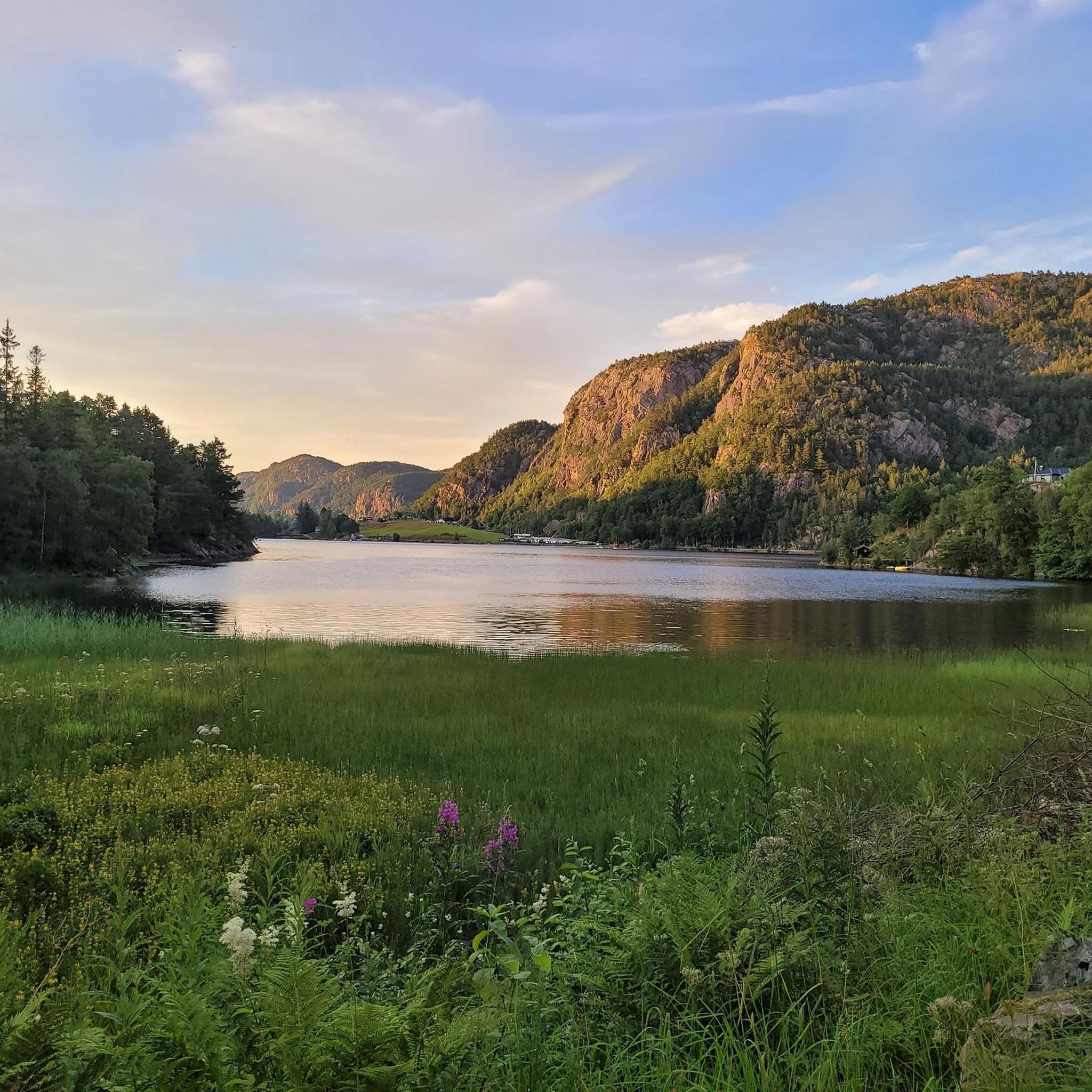
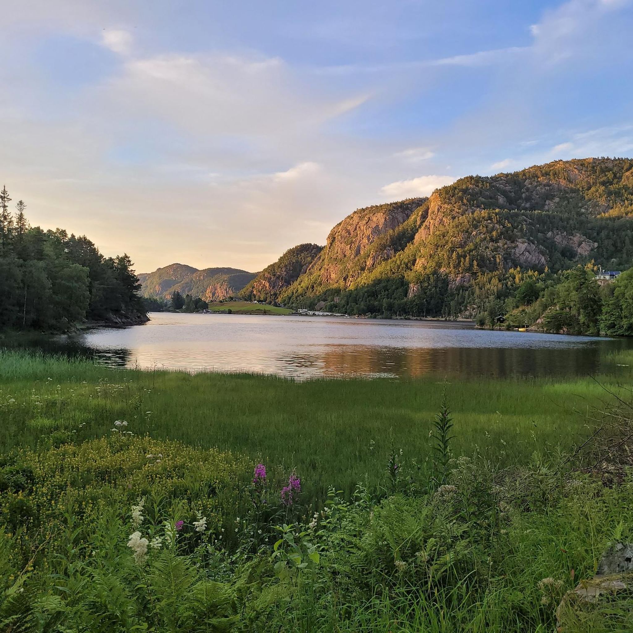
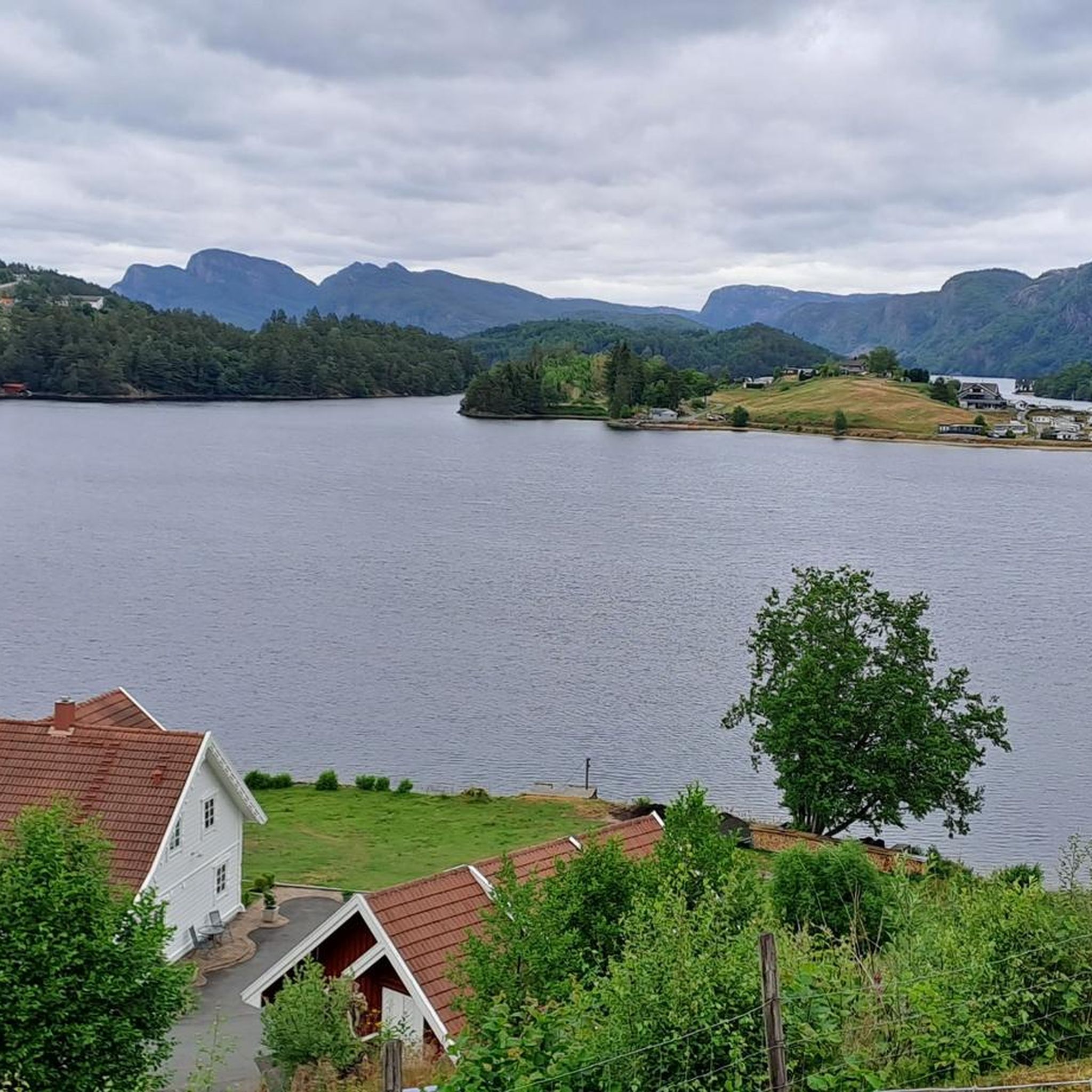
Hiking around Selura offers diverse trails in a landscape shaped by a deep lake and surrounding hills. The region features a steep, north-south oriented mountainside on its eastern flank, providing dramatic scenery. A notable moraine ridge, Egenes, almost divides the lake in the south, near Nulandsvika. Hikers can explore paths with varying elevation gains, from gentle slopes to more challenging ascents.
Best hiking trails around Selura
- The most popular hiking route is Ytre Skuten – Simonskyrkja loop from Egenes Camping, Ferie og Fritidssenter, a 3.8 miles (6.1 km) moderate trail that takes 2 hours 12 minutes to complete, exploring notable natural features.
- Another top favourite among local hikers is Summit Register at Høgfjellet – View of Flekkefjord loop from Selura, an easy 2.0 miles (3.3 km) path offering scenic views of Flekkefjord.
- Local hikers also love the View of Flekkefjord Waterfront – Kirkegaten, Flekkefjord loop from Tjersland vest, a 7.3 miles (11.8 km) trail leading through varied terrain with views of the Flekkefjord waterfront, often completed in about 3 hours 20 minutes.
- Hiking around Selura is defined by its deep lake, steep mountainsides, and moraine ridges. The network offers options for different ability levels, from easy walks to moderate routes.
- The routes in Selura are highly rated by the komoot community with an average score of 4.5 stars from over 200 reviews. More than 600 hikers have used komoot to explore Selura's varied terrain.
Last updated: May 12, 2026
4.9
(19)
65
hikers
Moderate hike. Good fitness required. Easily-accessible paths. Suitable for all skill levels.
4.3
(16)
52
hikers
Moderate hike. Good fitness required. Easily-accessible paths. Suitable for all skill levels.

Sign up for free
5.0
(1)
11
hikers
3.27km
01:13
220m
220m
Easy hike. Great for any fitness level. Easily-accessible paths. Suitable for all skill levels.
3.3
(6)
9
hikers
Moderate hike. Good fitness required. Easily-accessible paths. Suitable for all skill levels.
3
hikers
4.75km
01:23
110m
110m
Easy hike. Great for any fitness level. Easily-accessible paths. Suitable for all skill levels.
Get access to more routes and recommendations from other explorers.
Sign up for free
Already have an account?
Our route recommendations are based on thousands of hikes, rides, and runs completed by other people on komoot.
Start today with a free account
Your next adventure awaits.
Login or Signup
Popular around Selura
Tips from the Community

This small pond has a beautiful rocky shore. It’s a lovely spot to take a break and relax.
2
0

Flekkefjord Church is an octagonal church from 1833 in Flekkefjord in Agder, built according to designs by the castle architect Hans Ditlev Franciscus von Linstow. The church is laid out as an equilateral octagon with a square chancel in the east. The oldest documented church was built around 1725. The church is a half-timbered church with a porch and west tower. The nave has two-story galleries. The church is open Monday to Friday during the summer holidays from 10:30 a.m. to 1:30 p.m. There is a service on Sundays at 11:00 a.m. The church is open Monday to Friday during the summer holidays from 10:30 a.m. to 1:30 p.m. There is a service on Sundays at 11:00 a.m.
0
0

Beautiful "Dutch" old town
0
0

Water basin near Flekkefjord.
0
0

Really worth seeing by Norwegian standards 😉
0
0

One of numerous streets with many beautiful white wooden houses
0
0

Many beautiful white wooden houses in Flekkefjord
0
0
Frequently Asked Questions
How many hiking trails are available around Selura?
There are over 35 hiking trails around Selura, catering to various fitness levels. You'll find a good mix of easy and moderate routes, with 23 easy trails and 12 moderate options.
What kind of terrain can I expect on hikes around Selura?
The terrain around Selura is diverse, characterized by a deep lake, steep mountainsides, and moraine ridges. You can expect paths with elevation gains up to 1,000 feet, offering varied challenges from gentle slopes to more demanding ascents. The eastern side of the lake features a dramatic, steep north-south oriented mountainside.
Are there any easy, family-friendly hikes near Selura?
Yes, there are many easy options suitable for families. An excellent choice is the Summit Register at Høgfjellet – View of Flekkefjord loop from Selura. This 2.0-mile (3.3 km) easy path offers scenic views of Flekkefjord and is generally completed in under 1.5 hours.
Are there any circular hiking routes around Selura?
Many routes around Selura are circular. For a moderate loop, consider the Ytre Skuten – Simonskyrkja loop from Egenes Camping, Ferie og Fritidssenter. This 3.8-mile (6.1 km) trail explores notable natural features and takes about 2 hours 12 minutes. Another moderate option is the View of Flekkefjord Waterfront – Kirkegaten, Flekkefjord loop from Tjersland vest, which is 7.3 miles (11.8 km) and offers views of the Flekkefjord waterfront.
What are the typical durations for hikes in the Selura area?
Hikes around Selura can vary in duration. Shorter, easier walks might take around 1 to 2 hours, while more challenging or longer excursions can last up to 5 hours, depending on the route and your pace. For example, the View of Flekkefjord Waterfront – Flower Garden in Flekkefjord loop from Flekkefjord kirke is an easy 3.5-kilometer route that takes just over an hour.
What do other hikers enjoy most about hiking in Selura?
The area is highly rated by the komoot community, with an average score of 4.5 stars from over 200 reviews. Hikers often praise the diverse trails, the dramatic scenery of the deep lake and steep mountainsides, and the variety of options available for different ability levels.
Are there any specific viewpoints or scenic spots along the trails?
Yes, several trails offer excellent views. The Summit Register at Høgfjellet – View of Flekkefjord loop from Selura provides scenic vistas of Flekkefjord. Additionally, routes like the View of Flekkefjord Waterfront – Kirkegaten, Flekkefjord loop from Tjersland vest offer picturesque views of the Flekkefjord waterfront.
Where can I find parking for hiking trails around Selura?
Many routes, such as the Ytre Skuten – Simonskyrkja loop, start from locations like Egenes Camping, Ferie og Fritidssenter, which typically offer parking facilities. For trails closer to Flekkefjord, starting points like Flekkefjord kirke (church) or Tjersland vest may also have parking options nearby.
What is the best time of year to go hiking around Selura?
While hiking is possible year-round, the best time to visit Selura for hiking is typically during the warmer months, from spring to early autumn (May to September). During this period, the weather is generally milder, and the trails are more accessible. Always check local weather forecasts before heading out.
Are there any challenging hikes in the Selura area?
While there are no routes classified as 'difficult' in the immediate Selura area, some moderate trails offer good challenges with significant elevation gains. Routes like the Ytre Skuten – Simonskyrkja loop from Egenes Camping, Ferie og Fritidssenter, with its 360 meters of ascent, provide a good workout and require a moderate fitness level.
What natural features define the Selura region?
The Selura region is defined by its deep, nutrient-poor lake, which is 118 meters deep and sits 31 meters above sea level. The lake's western outflow forms the Selurelva river, leading to the inner fjord basin of Flekkefjorden. The eastern side features a dramatic, steep mountainside, and a large moraine ridge called Egenes almost divides the lake in the south.

Get inspired with the komoot mobile app


Explore more
Browse the best Hikes in other regions.
