The best road cycling routes in Brattefjell - Vindeggen Landskapsvernområde
5.0
(4)
154
riders
9
rides
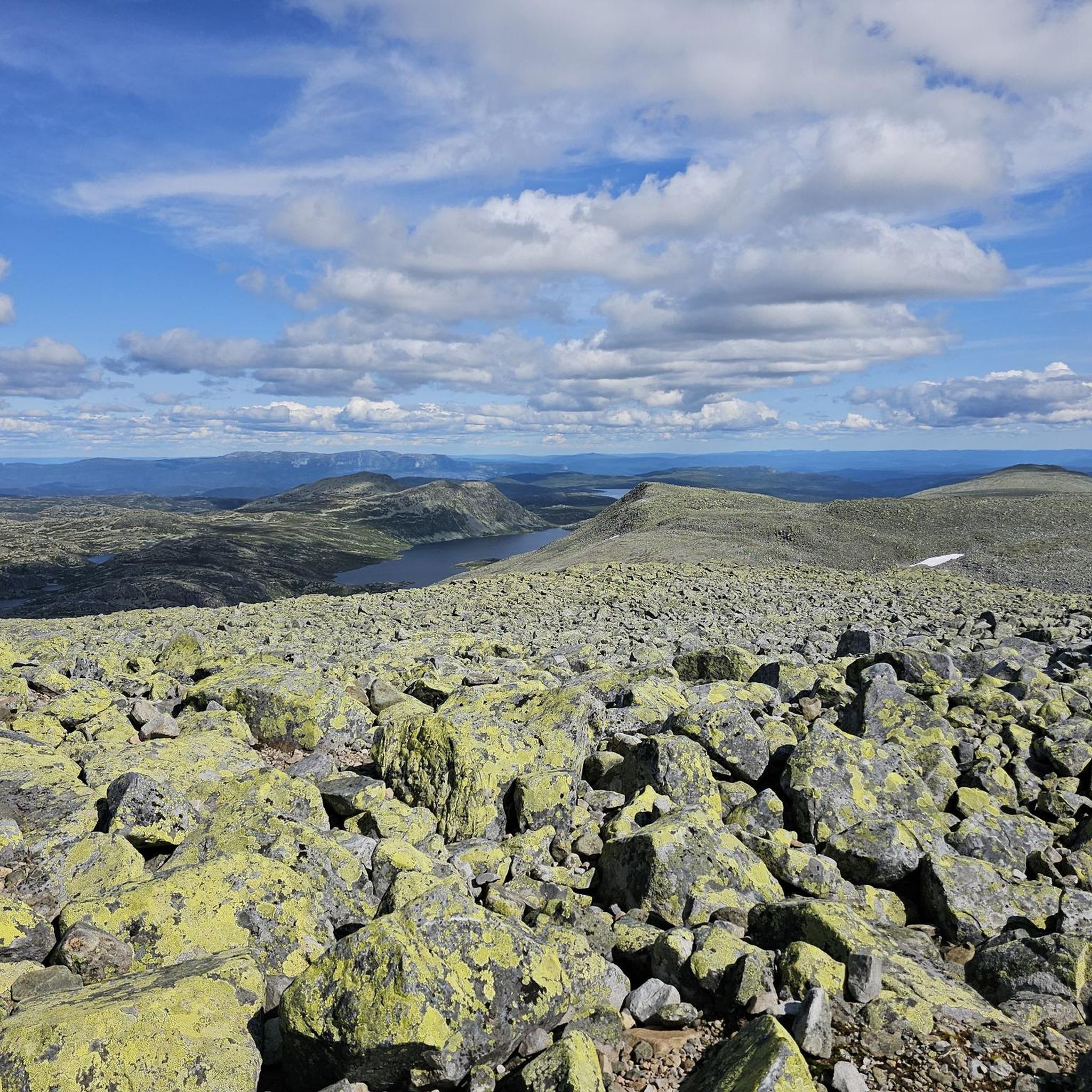
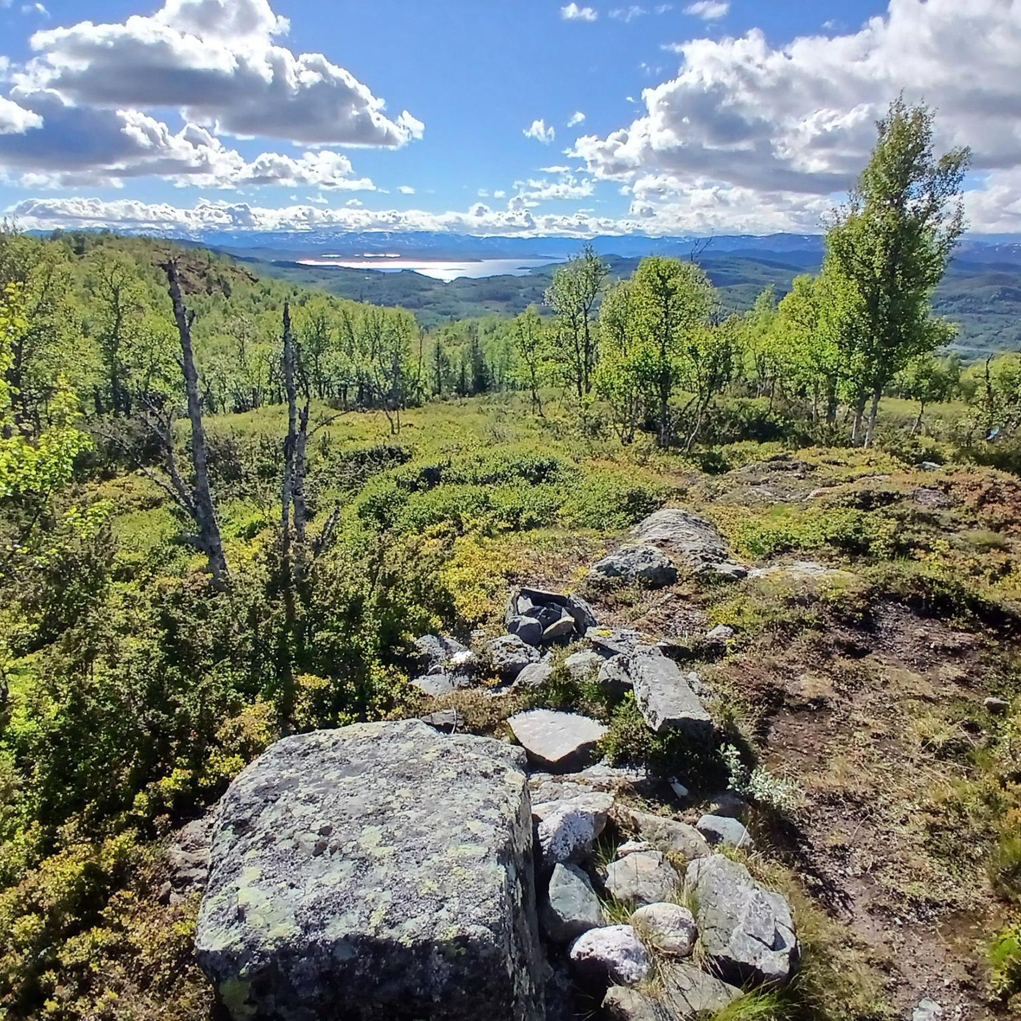
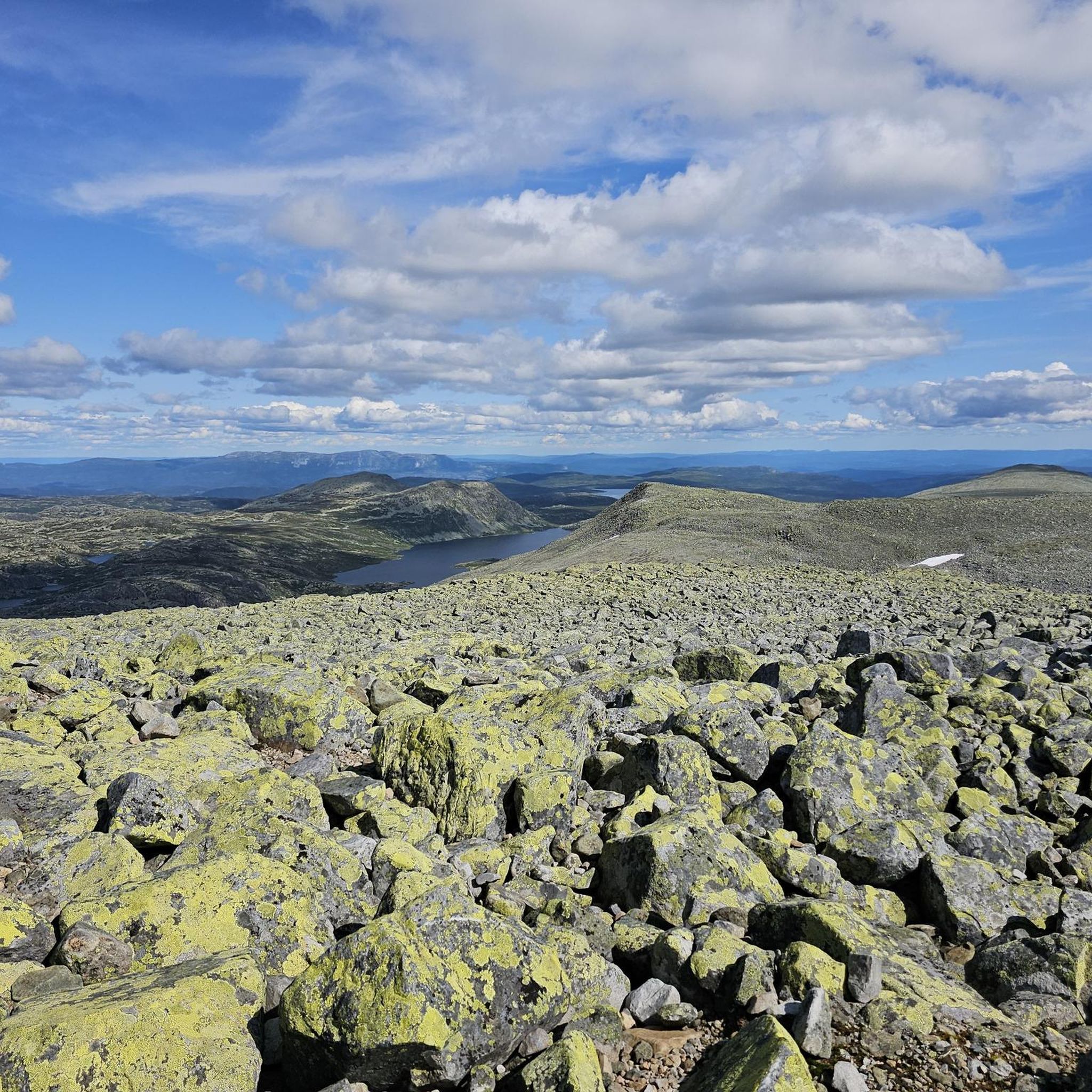
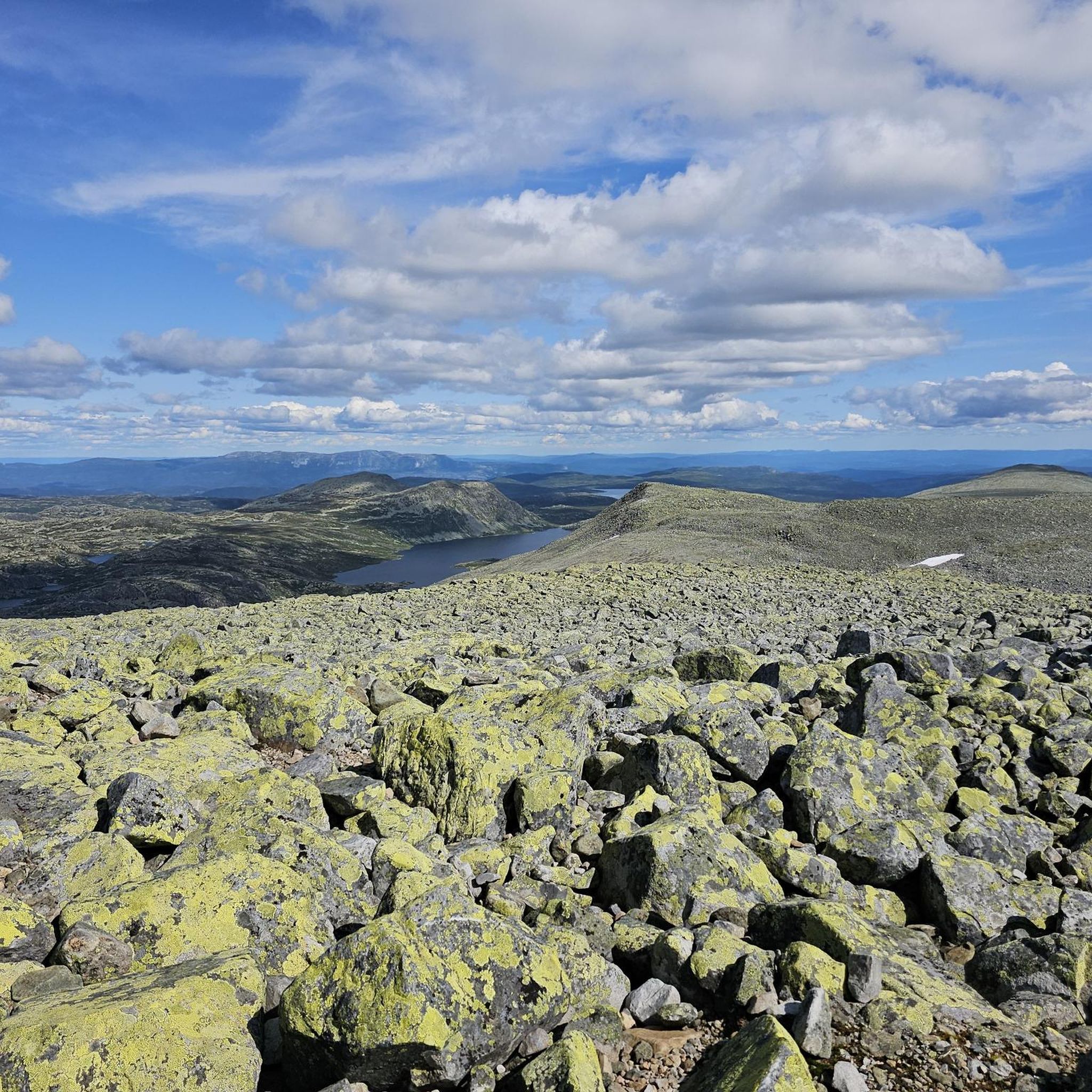
Road cycling routes in Brattefjell - Vindeggen Landskapsvernområde traverse a distinctive natural landscape in the Telemark region of Norway. This area is characterized by untouched high mountains and mountain forests, with much of the terrain lying above the tree line. The topography features small, undulating mountains, numerous small lakes, and ridges, offering varied cycling experiences. Prominent peaks like Brattefjell (1540 meters) and Vindeggen (1516 meters), alongside Gaustatoppen, contribute to the dramatic scenery and challenging ascents.
Best road cycling routes in Brattefjell - Vindeggen Landskapsvernområde
- The most popular road cycling route is Stavsro Parking Area – Søndre Neset Picnic Area loop from Rjukan, a 95.8 miles (154.1 km) trail that takes 7 hours 44 minutes to complete. This difficult route features significant elevation gain through mountainous terrain.
- Another top favourite among local road cyclists is Tinn Open-Air Museum – Søndre Neset Picnic Area loop from Rjukan, a moderate 48.5 miles (78.1 km) path. This route offers scenic views through valleys and past cultural sites.
- Local road cyclists also love the Solspielet Sun Mirrors, Rjukan – Blistjønnskaret Climb loop from Krosso, a 53.7 miles (86.5 km) trail leading through mountainous landscapes and past the Solspielet Sun Mirrors, often completed in about 4 hours 29 minutes.
- Road cycling in Brattefjell - Vindeggen Landskapsvernområde is defined by high mountain passes, forested valleys, and expansive views above the tree line. The network offers options for different ability levels, from easy loops to difficult, long-distance climbs.
- The routes in Brattefjell - Vindeggen Landskapsvernområde are highly rated by the komoot community with an average score of 5.0 stars from over 4 reviews. More than 150 road cyclists have used komoot to explore Brattefjell - Vindeggen Landskapsvernområde's varied terrain.
Last updated: July 11, 2026
24
riders
154km
07:42
2,370m
2,370m
Hard road ride. Very good fitness required. Mostly well-paved surfaces and easy to ride.
5.0
(1)
15
riders
86.2km
04:30
1,480m
1,480m
Hard road ride. Very good fitness required. Mostly well-paved surfaces and easy to ride.

Sign up for free
7
riders
33.2km
01:27
230m
230m
Easy road ride. Great for any fitness level. Mostly well-paved surfaces and easy to ride.
21
riders
56.4km
02:38
650m
650m
Moderate road ride. Good fitness required. Mostly well-paved surfaces and easy to ride.
7
riders
83.0km
04:12
1,360m
1,360m
Hard road ride. Very good fitness required. Mostly well-paved surfaces and easy to ride.
Get access to more routes and recommendations from other explorers.
Sign up for free
Already have an account?
Our route recommendations are based on thousands of hikes, rides, and runs completed by other people on komoot.
Start today with a free account
Your next adventure awaits.
Login or Signup
Popular around Brattefjell - Vindeggen Landskapsvernområde
Tips from the Community

Tuddal is a little village located beside Bjårvatnet lake. It has about 350 inhabitants, with a center that includes a grocery store, gas station, and two cafes.
0
0
Hagavik is a village on the shore of Bjårvatnet lake. It's a quiet lakeside settlement where the village rests along Bjårvatnet's waters, known for Brown trout, Rainbow trout, and Lake trout fishing in the lake.
0
0

The parking costs 150 NOK for 24 hours. Ideal for an overnight stay in a motorhome. The shuttle bus to the cable car costs 50 NOK. From here you can access the trailhead to the Hulderhola cave and can find a restaurant right beside the parking.
0
0

You can stop here for a break, sit at the wooden tables, and admire the view. It's a great spot for lunch!
0
0
If you're heading north, the descent to Rjukan offers nice views. You'll encounter tunnels and also pass by significant historical sites related to Rjukan's industrial past and its famous World War II "heavy water" history.
0
1
Here you can stop for a break, staring at the beautiful landscape. It's a good place also for wild camping.
1
0
This road offers a spectacular panorama: on one side, the dense forest seems to embrace you, while on the other, calm waters are dotted with islets and boats moving slowly.
0
0

Beware. This parking lot will cost you an arm and a leg! We were there at 8:30…. Parking until 12:00 was 300 kroner, and after 12:00 another 300. No middle ground, no way to pay for the actual time you are parked there. Paid 600, but I am absolutely furious. What a dirty rip-off!
1
0
Frequently Asked Questions
How many road cycling routes are available in Brattefjell - Vindeggen Landskapsvernområde?
There are 9 road cycling routes documented in Brattefjell - Vindeggen Landskapsvernområde. These routes offer a variety of experiences, from easy loops to challenging mountain climbs.
What kind of terrain can I expect when road cycling in Brattefjell - Vindeggen Landskapsvernområde?
The region is characterized by its distinctive natural landscape, featuring untouched high mountains and mountain forests. You'll encounter varied topography, including small, undulating mountains, numerous small lakes, and ridges. Many routes traverse areas above the tree line, offering expansive views. Expect significant elevation changes, as evidenced by routes like Stavsro Parking Area – Søndre Neset Picnic Area loop from Rjukan, which has over 2,300 meters of elevation gain.
Are there any easy road cycling routes suitable for beginners or families?
Yes, there is one easy road cycling route available. The Solspielet Sun Mirrors, Rjukan loop from Rjukan is a good option, covering about 32.4 kilometers with a manageable elevation gain of around 215 meters.
What are some notable landmarks or viewpoints I can see along the road cycling routes?
The region is home to dramatic scenery, including prominent peaks like Brattefjell and Vindeggen. A significant draw is Gaustatoppen, which offers the Gaustatoppen Summit Cabin and the Gaustatoppen summit viewpoint. You can also find the Gaustatoppen Geological History Information Board. Some routes, like the Solspielet Sun Mirrors, Rjukan – Blistjønnskaret Climb loop from Krosso, pass by the unique Solspielet Sun Mirrors.
Are there any circular road cycling routes in the area?
Yes, many of the routes are designed as loops. For example, the challenging Stavsro Parking Area – Søndre Neset Picnic Area loop from Rjukan and the moderate Tinn Open-Air Museum – Søndre Neset Picnic Area loop from Rjukan are both circular routes, allowing you to start and end at the same point.
What is the best time of year for road cycling in Brattefjell - Vindeggen Landskapsvernområde?
While specific seasonal data isn't provided, given the region's high mountain and mountain forest characteristics, the best time for road cycling is typically during the warmer months, from late spring through early autumn, when roads are clear of snow and ice. Winter conditions would likely make many routes impassable for road bikes.
What do other road cyclists enjoy most about road cycling in Brattefjell - Vindeggen Landskapsvernområde?
The area is highly rated by the komoot community, with an average score of 5.0 stars from over 4 reviews. Cyclists often praise the challenging and scenic rides through the mountainous environment, enjoying the 'beautiful natural park' and the diverse cycling experiences offered by the varied topography.
Are there any long-distance road cycling routes for experienced riders?
Absolutely. For experienced riders seeking a challenge, the Stavsro Parking Area – Søndre Neset Picnic Area loop from Rjukan is a difficult route spanning 154.1 kilometers with significant elevation gain, typically taking over 7 hours to complete.
Where can I find parking for road cycling routes?
Some routes, like the Stavsro Parking Area – Søndre Neset Picnic Area loop from Rjukan, indicate starting points such as the Stavsro Parking Area. It's advisable to check the specific route details on komoot for recommended parking locations near your chosen trailhead.
Are there any moderate difficulty road cycling routes?
Yes, there are two moderate road cycling routes. The Tinn Open-Air Museum – Søndre Neset Picnic Area loop from Rjukan is a 78.1 km path offering scenic views, and the Urdalshovet – Strangestøyllie loop from Rauland skisenter covers 56.4 km with around 655 meters of elevation gain.
What kind of wildlife might I encounter while cycling?
The conservation area is vital for preserving biological diversity, supporting a wild reindeer population, and boasting a rich array of plant and animal life. While cycling, you might have the chance to observe some of the local fauna, especially in the more remote sections of the routes.
Are there any cultural sites along the road cycling routes?
The region includes valuable cultural landscapes and historical monuments. For instance, the Tinn Open-Air Museum – Søndre Neset Picnic Area loop from Rjukan offers scenic views through valleys and past cultural sites, providing an enriching dimension to your ride.
Most popular routes in Brattefjell - Vindeggen Landskapsvernområde
Most popular attractions in Brattefjell - Vindeggen Landskapsvernområde

Get inspired with the komoot mobile app


Explore more
Browse the best Road cycling routes in other regions.
