The best road cycling routes in Geitaknottane Naturreservat
5.0
(2)
54
riders
5
rides
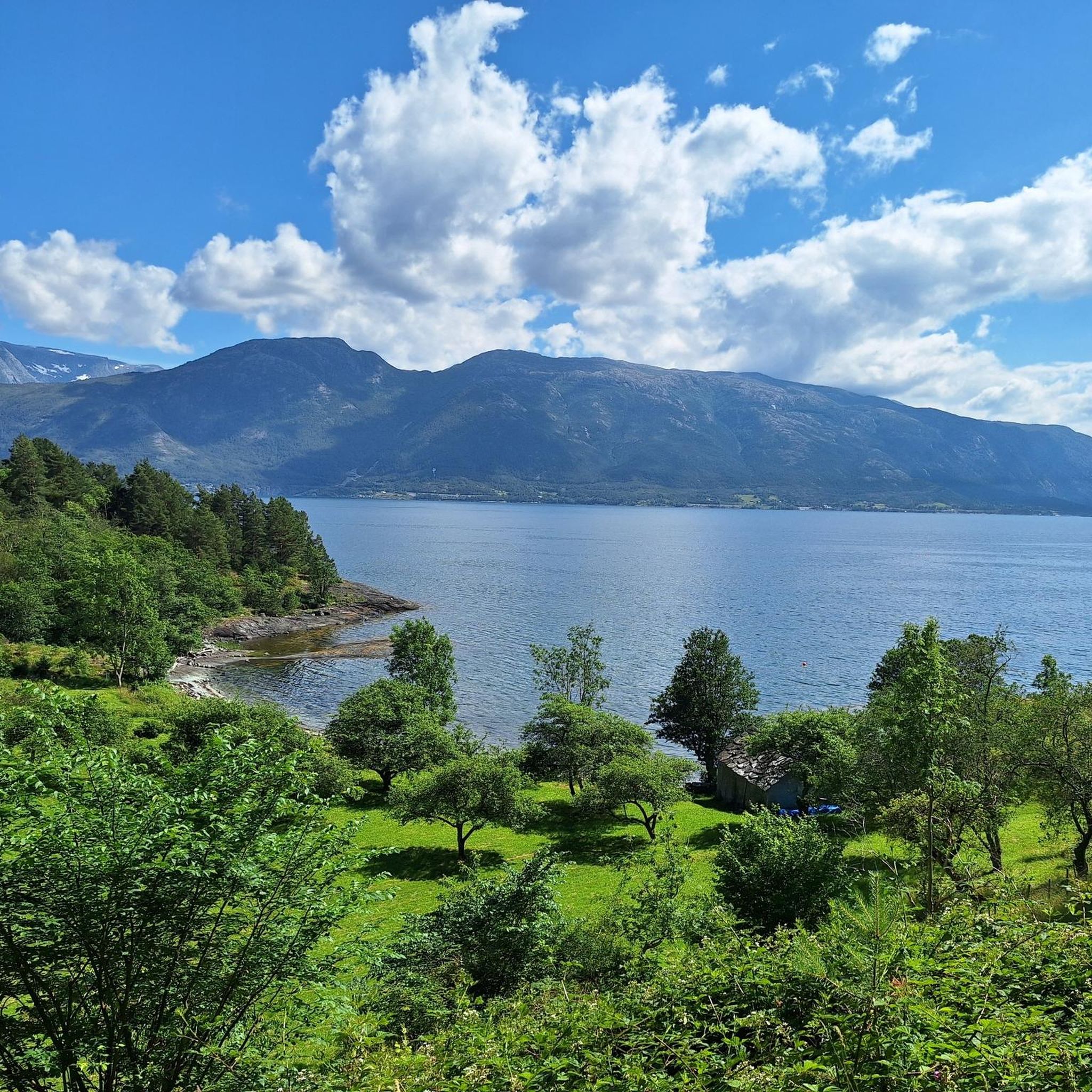
Road cycling routes in Geitaknottane Naturreservat traverse an unusually large and unspoiled natural area, characterized by a distinctive mix of bedrock and knolls, interspersed with marshes, lakes, and small tarns. The landscape includes scattered pine forests and elevations reaching up to 673 meters. This varied topography provides diverse terrain for road cyclists, ranging from lowland sections to more challenging climbs.
Best road cycling routes in Geitaknottane Naturreservat
- The most popular road cycling route is Leitefossen – Hammarberget loop from Hauge, a 44.1 miles (71.0 km) trail that takes 3 hours 23 minutes to complete. This difficult route features significant elevation gain through varied terrain.
- Another top favourite among local road cyclists is Vangdalsberget naturreservat – Mundheim naturreservat loop from Gjermundshamn, a difficult 56.3 miles (90.5 km) path. It offers a challenging loop connecting two natural reserves.
- Local road cyclists also love the Krokatjørna – Vetlebøletjørna loop from Gjermundshamn, a 69.5 miles (111.9 km) trail leading through areas with lakes and knolls, often completed in about 5 hours 23 minutes.
- Road cycling in Geitaknottane Naturreservat is defined by bedrock and knolls, marshes and lakes, and pine forests. The network offers options for both moderate and difficult ability levels.
- The routes in Geitaknottane Naturreservat are highly rated by the komoot community with an average score of 5.0 stars from over 2 reviews. More than 55 road cyclists have used komoot to explore Geitaknottane Naturreservat's varied terrain.
Last updated: July 11, 2026
17
riders
71.0km
03:23
920m
920m
Hard road ride. Very good fitness required. Mostly well-paved surfaces and easy to ride.
5.0
(1)
15
riders
90.2km
04:13
1,180m
1,180m
Hard road ride. Very good fitness required. Mostly well-paved surfaces and easy to ride.

Sign up for free
5.0
(1)
10
riders
112km
05:23
1,560m
1,560m
Hard road ride. Very good fitness required. Some segments of this route may be unpaved and difficult to ride.
7
riders
40.7km
02:09
530m
530m
Moderate road ride. Good fitness required. Some segments of this route may be unpaved and difficult to ride.
5
riders
22.2km
01:21
290m
290m
Moderate road ride. Great for any fitness level. Some segments of this route may be unpaved and difficult to ride.
Our route recommendations are based on thousands of hikes, rides, and runs completed by other people on komoot.
Start today with a free account
Your next adventure awaits.
Login or Signup
Popular around Geitaknottane Naturreservat
Tips from the Community

A series of gentle mountain streams cascade down a dark, rugged cliff face, creating small, tiered waterfalls hidden deep within the wilderness. The clear water weaves past lush tufts of wild ferns, bright green grasses, and mountain shrubs covering the rocky slope before gathering into a lively brook that cuts through the dense forest undergrowth.
0
0

Frequently Asked Questions
How many road cycling routes are available in Geitaknottane Naturreservat?
There are 5 road cycling routes documented in Geitaknottane Naturreservat on komoot. These routes offer a range of experiences across the reserve's distinctive landscape.
What is the general difficulty level of road cycling routes in Geitaknottane Naturreservat?
The road cycling routes in Geitaknottane Naturreservat are primarily rated as moderate to difficult. There are 2 moderate routes and 3 difficult routes, indicating that most paths involve significant elevation changes and challenging terrain.
Are there any beginner-friendly road cycling routes in Geitaknottane Naturreservat?
While the routes are generally rated as moderate to difficult, the Trollbotntjørna – Krokatjørna loop from Sundvor kyrkje is one of the shorter moderate options, covering 22.2 km with 290 meters of elevation gain. This might be a suitable starting point for those looking for a less strenuous ride compared to the more challenging loops.
What kind of landscapes can I expect to see while road cycling in Geitaknottane Naturreservat?
Road cycling in Geitaknottane Naturreservat offers diverse scenery, characterized by a unique mix of bedrock and knolls, interspersed with marshes, lakes, and small tarns. You'll also encounter scattered pine forests and elevations reaching up to 673 meters, providing varied terrain and views.
Are there any challenging road cycling routes for experienced cyclists?
Yes, experienced cyclists will find several challenging routes. The Krokatjørna – Vetlebøletjørna loop from Gjermundshamn is a difficult 111.9 km trail with over 1500 meters of elevation gain, offering a substantial challenge. Another demanding option is the Vangdalsberget naturreservat – Mundheim naturreservat loop from Gjermundshamn, which covers 90.5 km with over 1100 meters of climbing.
What do other road cyclists say about the routes in Geitaknottane Naturreservat?
The routes in Geitaknottane Naturreservat are highly rated by the komoot community, with an average score of 5.0 stars from over 2 reviews. More than 55 road cyclists have used komoot to explore the varied terrain, often praising the unique natural environment and challenging rides.
Are there any loop routes available for road cycling?
Yes, all the road cycling routes listed for Geitaknottane Naturreservat are loop routes, allowing you to start and finish at the same point. Examples include the Leitefossen – Hammarberget loop from Hauge and the Brattaberget loop from Hatlestrand kyrkje.
What is the best time of year for road cycling in Geitaknottane Naturreservat?
While specific seasonal recommendations are not detailed, Norway's cycling season generally runs from late spring through early autumn (May to September) when roads are clear of snow and ice, and weather conditions are most favorable. Given the reserve's varied elevation, checking local weather forecasts is always advisable.
Are there any specific regulations or permits required for cycling in Geitaknottane Naturreservat?
The provided information does not specify any particular permits required for road cycling within Geitaknottane Naturreservat. However, as it is a nature reserve, cyclists should always adhere to general outdoor ethics, stay on designated roads, and respect the natural environment and any local signage regarding protected areas.
Where can I find parking for road cycling routes in Geitaknottane Naturreservat?
The routes often start from towns or villages adjacent to the reserve, such as Hauge, Gjermundshamn, Hatlestrand kyrkje, and Sundvor kyrkje. These locations typically offer public parking facilities, making them convenient starting points for your road cycling adventures.
Is public transport available to reach the road cycling routes?
The starting points for many routes, such as Gjermundshamn, Hatlestrand kyrkje, and Sundvor kyrkje, are often accessible by local public transport services, including buses or ferries, depending on the specific location within the broader Hordaland region. It's recommended to check local transport schedules for the most up-to-date information.
Are there any cafes or accommodation options near the road cycling routes?
While specific establishments are not detailed, the routes often begin or pass through small communities like Hauge, Gjermundshamn, and Hatlestrand. These villages typically offer basic amenities, including local cafes, shops, and potentially guesthouses or other accommodation options for cyclists.
Most popular routes in Geitaknottane Naturreservat

Get inspired with the komoot mobile app


Explore more
Browse the best Road cycling routes in other regions.
