The best mountain hikes in Ehrenbürg
6
hikers
3
hikes
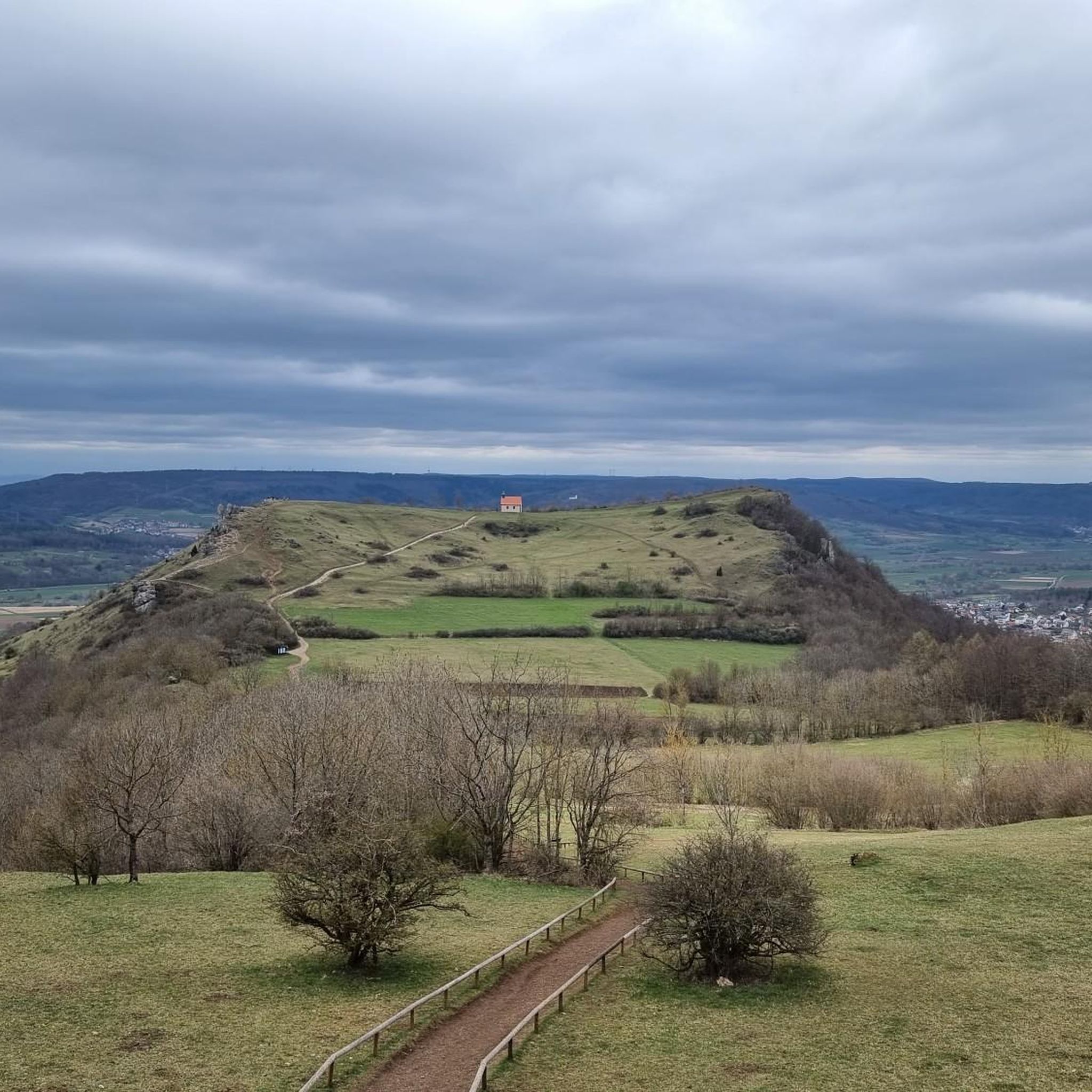
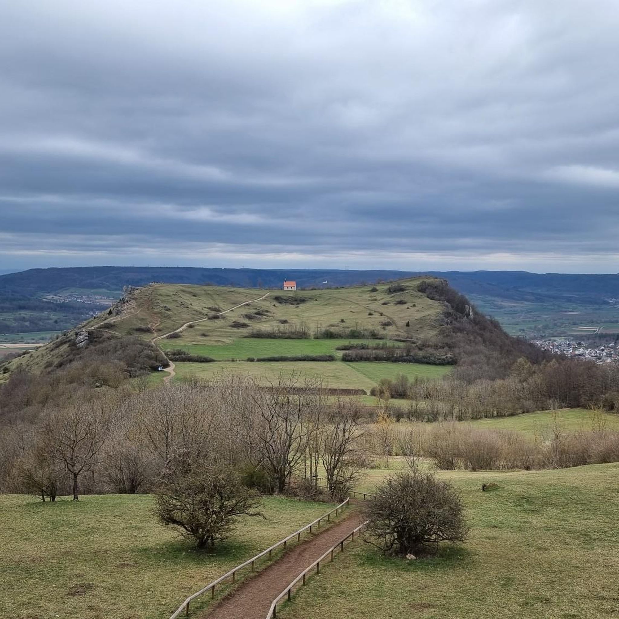
Mountaineering routes in Ehrenbürg traverse a distinctive double-peaked butte on the edge of the Franconian Jura in Bavaria, Germany. The region features significant elevation changes, with the northern Walberla (513.9 m) and southern Rodenstein (531.7 m) peaks rising up to 250 meters above the surrounding plain. The landscape is characterized by dramatic rock formations, including the prominent "Steinerne Frau" on the western hillside of Walberla, shaped by dolomite strata.
Best mountaineering routes in Ehrenbürg
- The most popular mountaineering route is Twin rock formation at Walberla – Cave at the Steinerne Frau loop from Leutenbach, an easy 3.5 miles (5.7 km) trail that takes 1 hour 45 minutes to complete, exploring the twin peaks and unique rock formations.
- Another top favourite among local mountaineers is Walberla – Cave at the Steinerne Frau loop from Leutenbach, an easy 3.3 miles (5.4 km) path. This route offers views of the Walberla peak and passes by the Steinerne Frau rock formation.
- Local mountaineers also love the Moritz Spring – Kapuzinerfelsen Viewpoint loop from Leutenbach, a 3.2 miles (5.2 km) trail leading through varied terrain to a scenic viewpoint, often completed in about 1 hour 30 minutes.
- Mountaineering in Ehrenbürg is defined by its double-peaked butte, dramatic rock formations, and the elevated terrain of the Franconian Jura. The network offers options for different ability levels, with routes providing significant elevation gain.
- The guide includes highly-rated routes that showcase the best of the region's landscape. More than 7 mountaineers have used komoot to explore Ehrenbürg's varied terrain.
Last updated: June 30, 2026
4
hikers
5.69km
01:45
210m
210m
Easy mountaineering route. Great for any fitness level. Easily-accessible paths. Suitable for all skill levels.
1
hikers
5.39km
01:38
180m
180m
Easy mountaineering route. Great for any fitness level. Easily-accessible paths. Suitable for all skill levels.

Sign up for free
1
hikers
5.15km
01:30
130m
130m
Easy mountaineering route. Great for any fitness level. Easily-accessible paths. Suitable for all skill levels.
Our route recommendations are based on thousands of hikes, rides, and runs completed by other people on komoot.
Start today with a free account
Your next adventure awaits.
Login or Signup
Tips from the Community

Fascinating rock formations at the Franconian landmark Walberla.
1
0

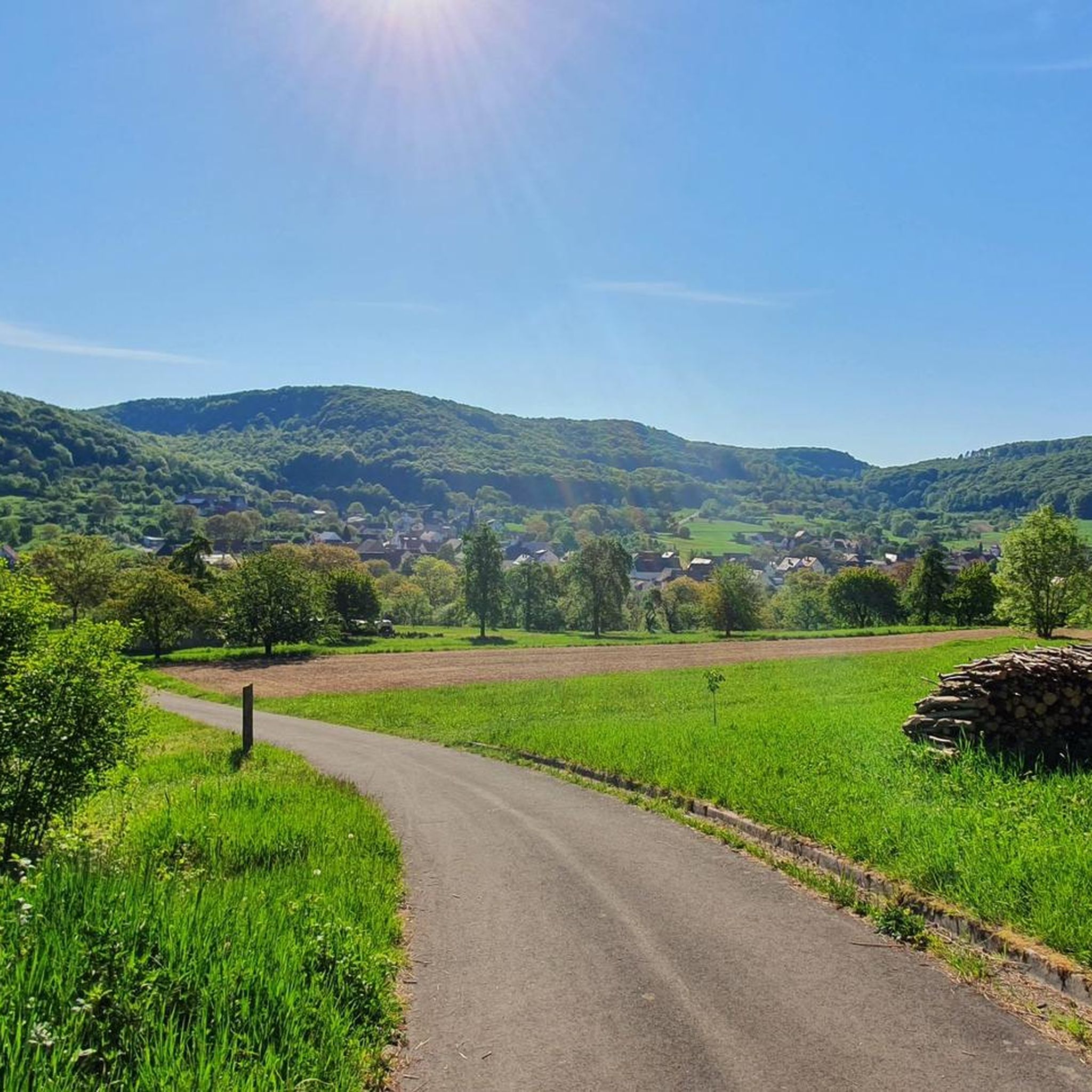
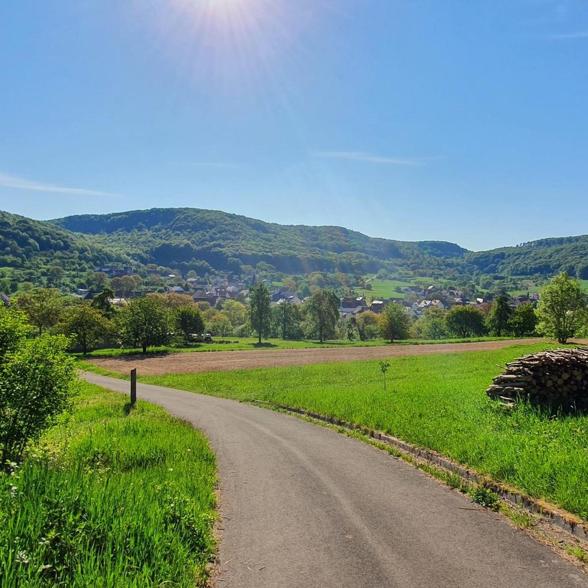
In my opinion the best path Connection Leutenbach and St. Moritz - mostly hidden in the woods with a few nice views on the Leutenbach valley and beyond
0
0

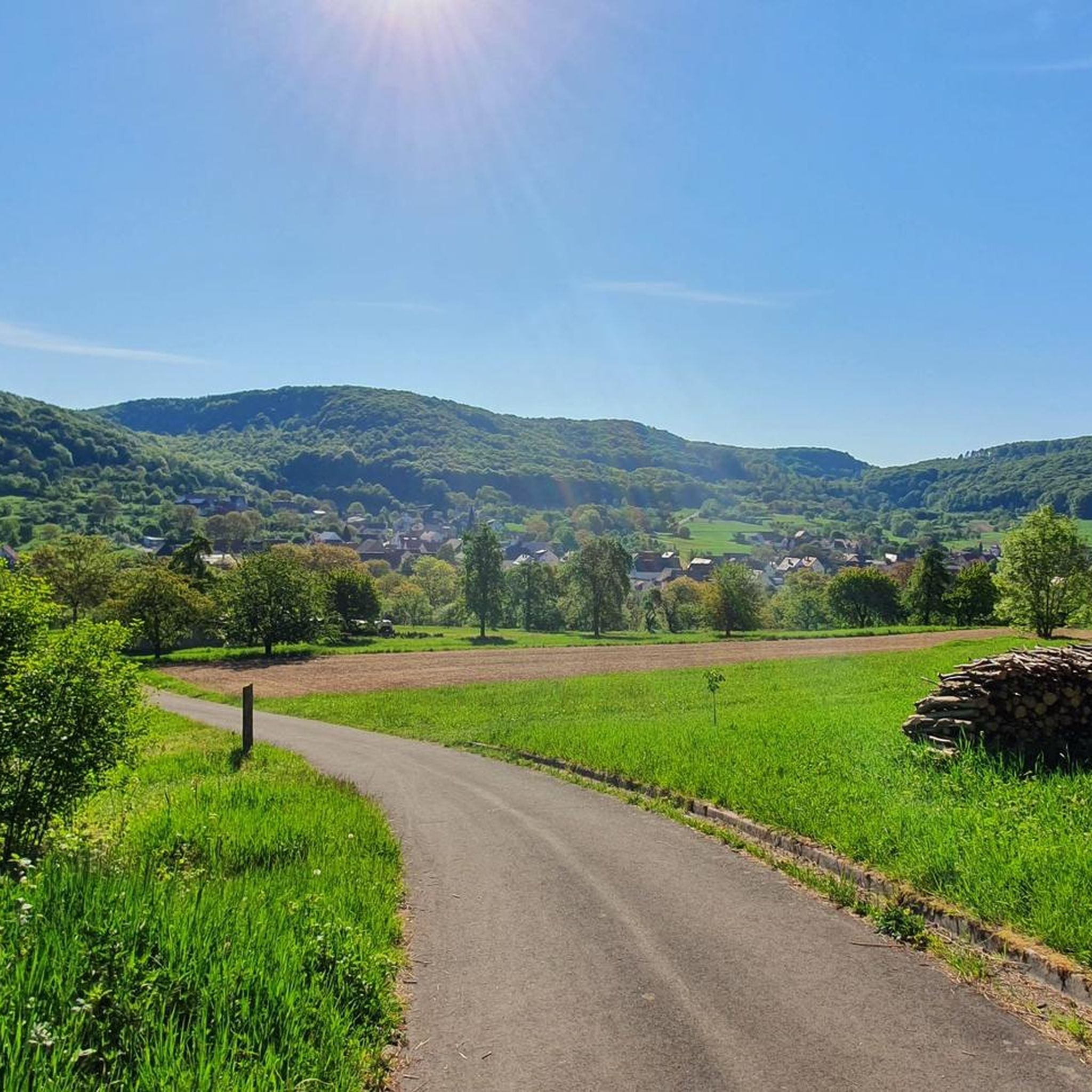
Coming from Schlaifhausen, this is the first great view and a resting place after the climb.
3
1

Great view. A beautiful sea of flowers at this time of year.
2
1

View of the well-known rock formation at Walberla, which is also visible from afar below
0
0

The footpath to the rocky outcrop cannot be overlooked
6
1

Stone woman, well I would say it's a fat sleeping witch 😂
6
4
Frequently Asked Questions
How many mountaineering routes are available in Ehrenbürg?
Ehrenbürg offers a selection of mountaineering routes, with at least three distinct options detailed in this guide. These routes provide varied experiences across the region's unique double-peaked butte.
Are there easy mountaineering routes suitable for beginners in Ehrenbürg?
Yes, all the mountaineering routes featured in this guide are classified as easy. For example, the Twin rock formation at Walberla – Cave at the Steinerne Frau loop from Leutenbach is an accessible option, exploring the twin peaks and unique rock formations.
What kind of terrain can I expect on Ehrenbürg's mountaineering routes?
The terrain in Ehrenbürg is characterized by its distinctive double-peaked butte, with significant elevation changes as the Walberla and Rodenstein peaks rise up to 250 meters above the surrounding plain. You'll encounter dramatic rock formations, including the prominent "Steinerne Frau," and paths that offer scenic views of the Franconian Jura.
Are there any circular mountaineering routes in Ehrenbürg?
Yes, all the routes highlighted in this guide are circular. For instance, the Walberla – Cave at the Steinerne Frau loop from Leutenbach and the Moritz Spring – Kapuzinerfelsen Viewpoint loop from Leutenbach are both designed as loops, bringing you back to your starting point.
What notable landmarks or viewpoints can I see along the mountaineering routes?
Along the routes, you can discover several interesting landmarks and viewpoints. Highlights include the St. Walburga's Chapel and Statue on the Walberla Plateau, the Rodenstein Summit (Ehrenbürg — South Peak), and the View of the Wiesent Valley from the Walberla. The unique "Steinerne Frau" rock formation is also a significant natural feature.
Are the mountaineering routes in Ehrenbürg suitable for families?
Given that all routes in this guide are rated as easy and typically range from 3.2 to 3.5 miles (5.2 to 5.7 km) in distance, they can be suitable for families with children who are accustomed to hiking. The varied terrain and interesting rock formations offer engaging points of interest for younger explorers.
Can I bring my dog on the mountaineering routes in Ehrenbürg?
While specific regulations for dogs on these particular mountaineering routes are not detailed, generally, dogs are welcome on hiking trails in the Franconian Jura. It's always advisable to keep dogs on a leash, especially in nature protection areas or near wildlife, and to carry water for them.
What is the best time of year to go mountaineering in Ehrenbürg?
Ehrenbürg offers enjoyable mountaineering opportunities throughout much of the year. Spring and autumn provide pleasant temperatures and vibrant scenery, while summer can be great for longer days. Winter mountaineering is possible, but conditions may vary, requiring appropriate gear and caution due to potential ice or snow on higher sections.
Where can I find parking for the mountaineering routes in Ehrenbürg?
The routes listed in this guide, such as the Twin rock formation at Walberla – Cave at the Steinerne Frau loop, typically start from Leutenbach. Parking options are generally available in or near villages at the base of Ehrenbürg, providing convenient access to the trailheads.
Are there any options for public transport to reach the mountaineering routes?
While specific public transport connections directly to the trailheads are not detailed, the region around Ehrenbürg is part of Bavaria, Germany, which generally has a well-developed public transport network. It is advisable to check local bus schedules to nearby towns like Leutenbach or Kirchehrenbach, from which the routes are accessible.
What do other mountaineers enjoy most about the routes in Ehrenbürg?
The routes in Ehrenbürg are appreciated by the komoot community for their unique landscape. Mountaineers often praise the distinctive double-peaked butte, the dramatic rock formations like the "Steinerne Frau," and the scenic views of the Franconian Jura. The accessibility of these easy routes also makes them popular for exploring the region's natural beauty.
Are there challenging climbing routes in Ehrenbürg for experienced mountaineers?
While the mountaineering routes in this guide are easy, the Rodenstein peak of Ehrenbürg is known for offering 44 established climbing routes, reaching up to UIAA grade VIII+. Experienced mountaineers can find challenging ascents like the Schlaifhausen Face, the Frankenschnellweg, and the Edelweiß Face on Rodenstein.
What is the typical duration and distance of mountaineering routes in Ehrenbürg?
The mountaineering routes in Ehrenbürg, as featured in this guide, typically range from 3.2 to 3.5 miles (5.2 to 5.7 km) in distance. They generally take between 1 hour 30 minutes to 1 hour 45 minutes to complete, making them suitable for a half-day outing.
Most popular routes in Ehrenbürg
Most popular attractions in Ehrenbürg

Get inspired with the komoot mobile app


Explore more
Browse the best Mountain Hikes & Routes in other regions.
