The best mountain hikes around Hildener Stadtwald
4
hikers
6
hikes
Mountaineering routes around Hildener Stadtwald primarily traverse the region's varied landscape, characterized by river valleys such as the Düssel River in the Neander Valley, and areas like Morper Bachtal and Rotthäuser Bachtal. The terrain includes gentle ascents and descents, with maximum elevations under 200 meters, typical for a "Stadtwald" or city forest environment. These routes often lead through wooded areas and along water features, offering accessible mountaineering experiences.
Best mountaineering routes around Hildener Stadtwald
- The most popular mountaineering route is…
Last updated: June 24, 2026
1
hikers
8.29km
02:15
120m
120m
Moderate mountaineering route. Good fitness required. Easily-accessible paths. Suitable for all skill levels.
1
hikers
10.3km
02:47
130m
130m
Moderate mountaineering route. Good fitness required. Easily-accessible paths. Suitable for all skill levels.

Sign up for free
Moderate mountaineering route. Good fitness required. Easily-accessible paths. Suitable for all skill levels.
1
hikers
Moderate mountaineering route. Good fitness required. Mostly accessible paths. Sure-footedness required.
12.2km
03:18
170m
170m
Moderate mountaineering route. Good fitness required. Easily-accessible paths. Suitable for all skill levels.
Our route recommendations are based on thousands of hikes, rides, and runs completed by other people on komoot.
Start today with a free account
Your next adventure awaits.
Login or Signup
Tips from the Community

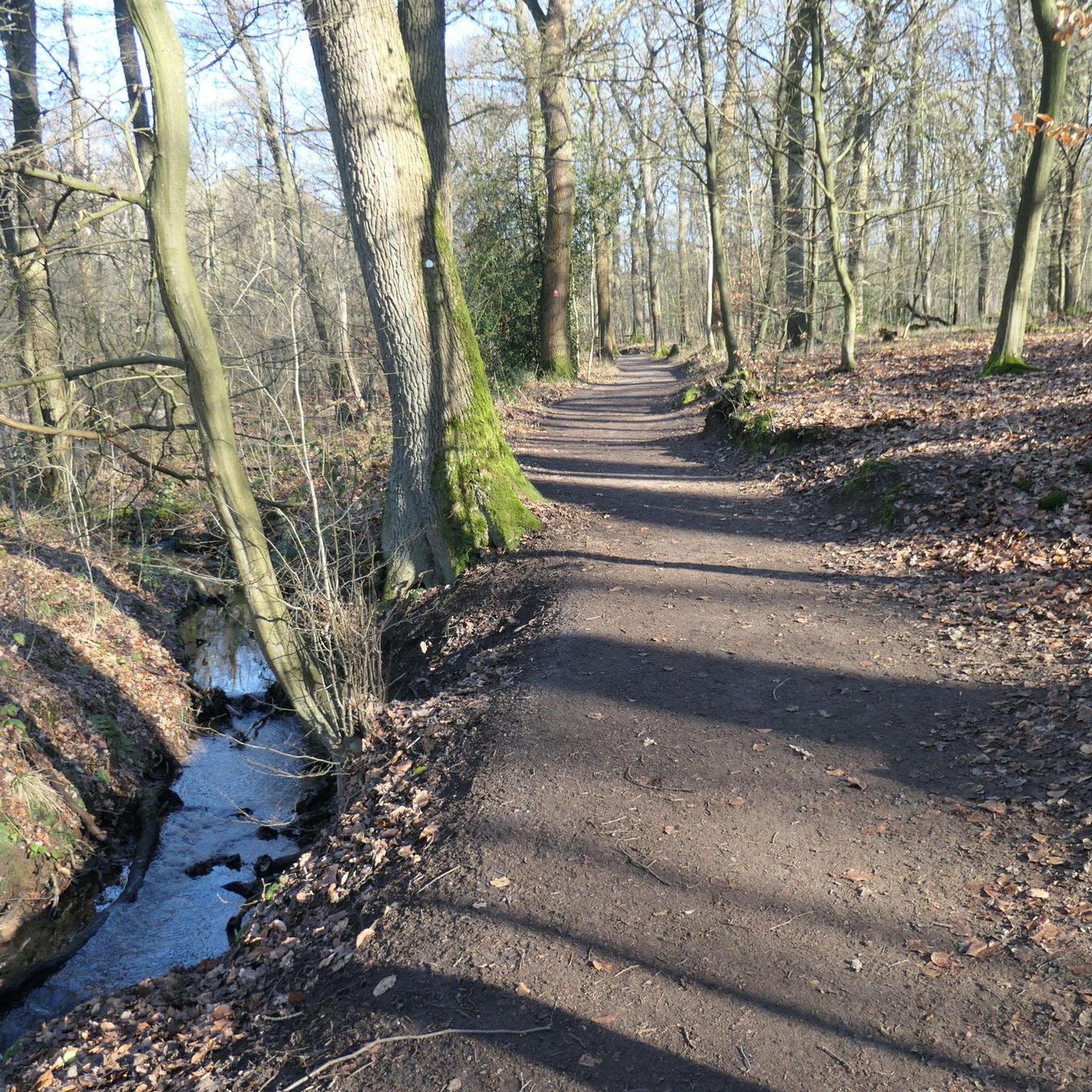
Rustic bridge with head-free function
0
0


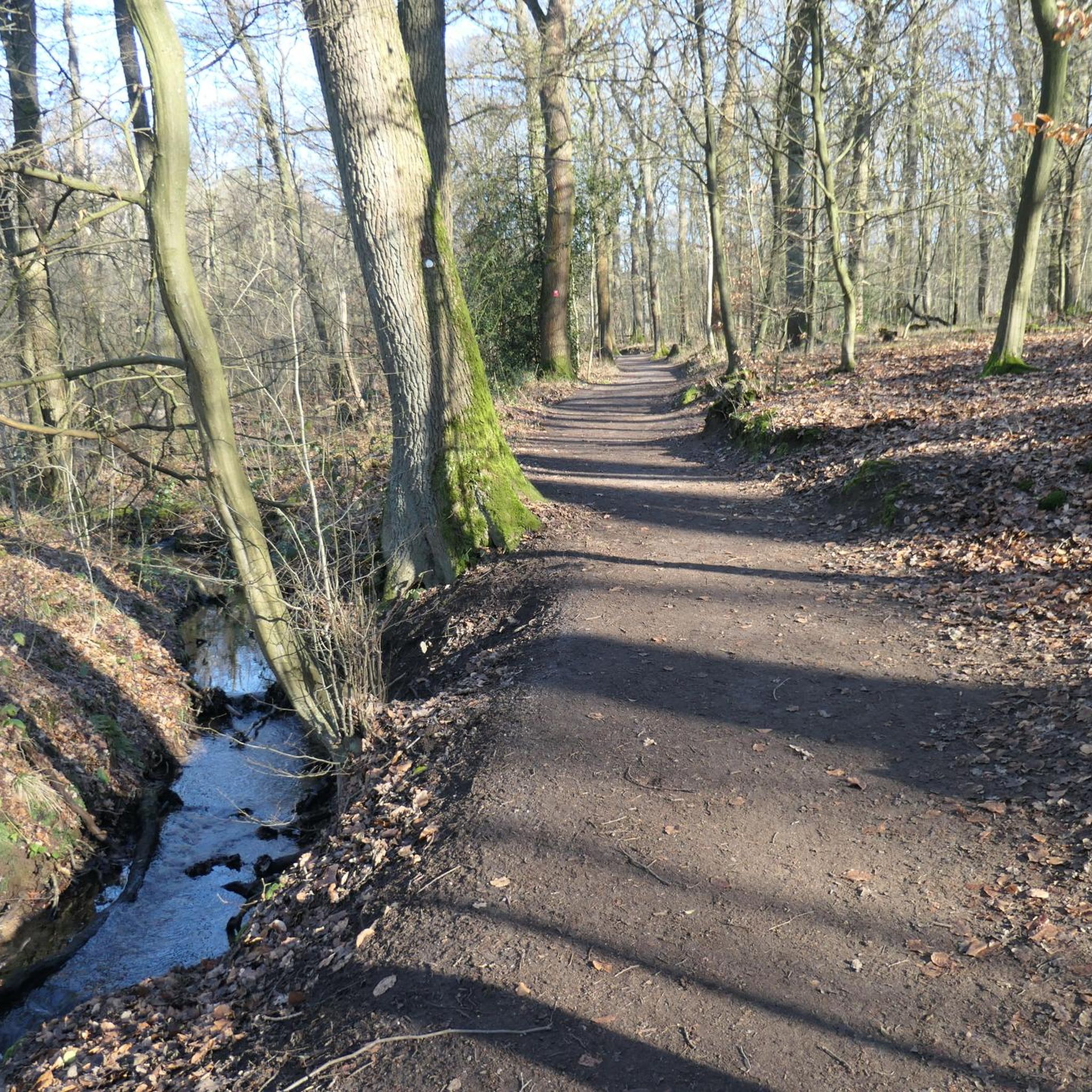
If you follow the Düssel, you will reach Düsseldorf
0
1

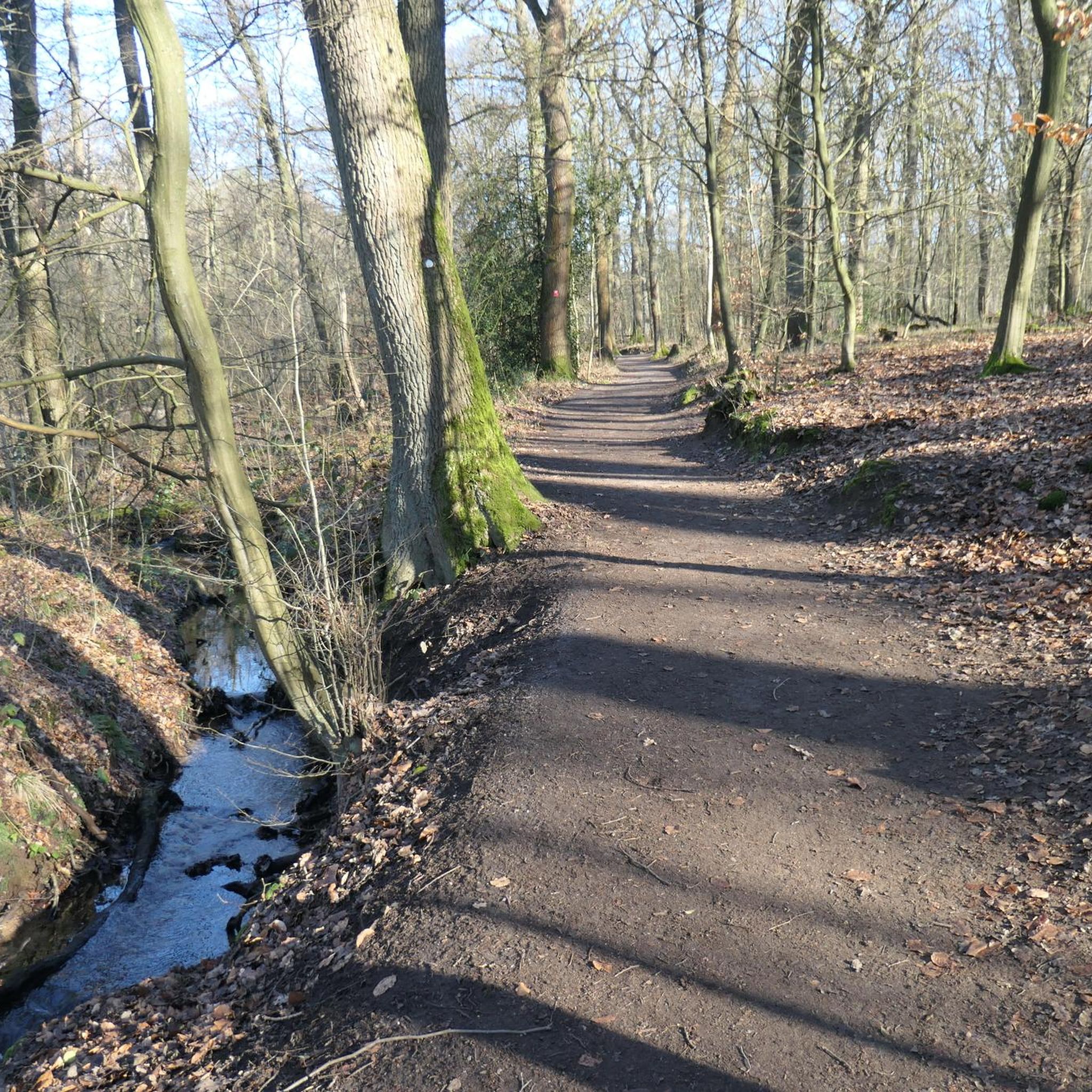
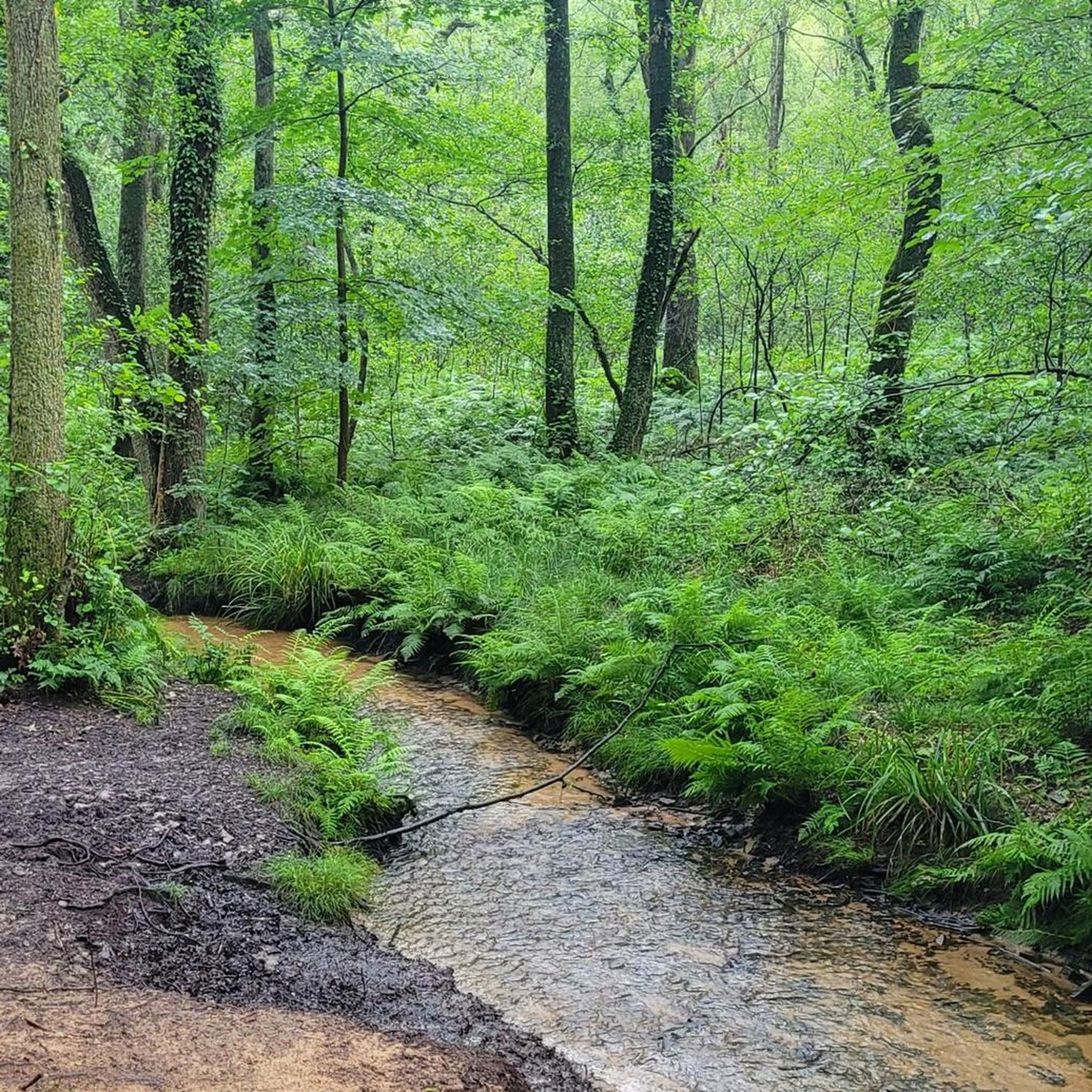
We have found that the wet summer has resulted in a swampy landscape in the area around the fish ponds and that a lot of trees have fallen over. Everything is left lying there despite the fact that it is a designated hiking trail! So be careful. You have to be pretty fit or young to use the trail independently of the swamp.
1
0

A really big insect hotel stands on the edge of the aurochs enclosure.
1
0

A big house for wild animals🐝
0
0
Indications of the direction to go, with distance indication
2
1

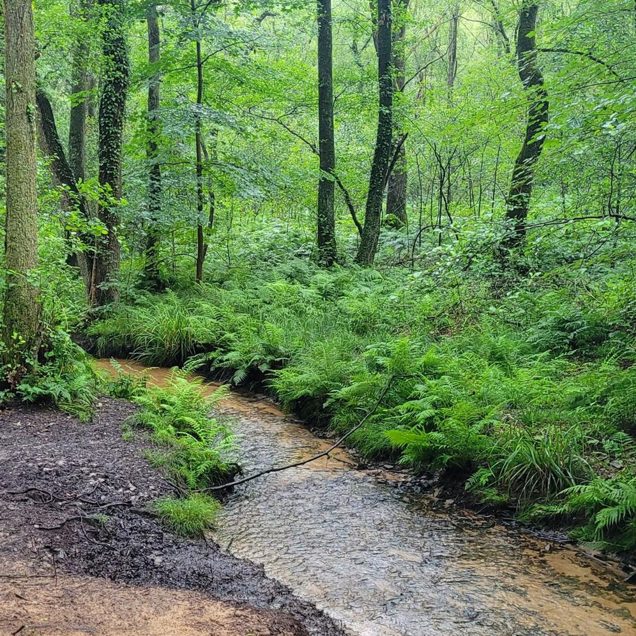
Located between Winkelmühle and Kühler Grund.
0
0
Frequently Asked Questions
How many mountaineering routes can I explore in Hildener Stadtwald?
There are 6 mountaineering routes available in Hildener Stadtwald, all of which are rated as moderate difficulty.
What is the typical difficulty level of mountaineering routes in Hildener Stadtwald?
All 6 mountaineering routes in Hildener Stadtwald are rated as moderate. They feature gentle ascents and descents, making them accessible for most hikers with a reasonable level of fitness.
Are there any circular mountaineering routes in Hildener Stadtwald?
Yes, many of the routes are circular. For example, the Ice Age Wildlife Park – Willow Pond, Neandertal loop from Neandertal is a popular circular option, as is the Düssel River in the Neander Valley – Gruiten Dorf loop from Haan-Gruiten.
What kind of terrain will I encounter on mountaineering routes around Hildener Stadtwald?
The terrain primarily traverses varied landscapes characterized by river valleys, such as the Düssel River in the Neander Valley, and areas like Morper Bachtal and Rotthäuser Bachtal. You can expect wooded sections and gentle elevation changes, with maximum elevations under 200 meters.
Are the mountaineering routes in Hildener Stadtwald suitable for families?
Given that all routes are rated as moderate with gentle elevation changes and pass through scenic wooded areas and along water features, many are suitable for families with older children who are accustomed to hiking. The Düssel River in the Neander Valley – Doctor's House, Gruiten loop from Grube 7 und ehemaliger Klärteich, at 4.8 miles, is a good option for a family outing.
Can I bring my dog on the mountaineering routes?
Yes, dogs are generally welcome on the trails in Hildener Stadtwald. However, please ensure your dog is kept on a leash, especially in nature protection areas or when encountering wildlife. The Cows in Morper Bachtal – Ponds in the Rotthäuser Bachtal loop from Erkrath offers varied scenery that dogs often enjoy.
What is the best season for mountaineering in Hildener Stadtwald?
Hildener Stadtwald is enjoyable year-round. Spring brings lush greenery and blooming flowers, while autumn offers vibrant foliage. Summer provides pleasant conditions for longer hikes, and even winter can be beautiful with a dusting of snow, though paths might be muddy or icy.
Are there any interesting landmarks or natural attractions along the routes?
Yes, the area features several points of interest. You might encounter the Wilhelm Ferdinand Lieven Memorial or the Lieveneiche (Wilhelm Ferdinand Lieven Oak Tree). The Hoxbach Flood Retention Basin / Stadtwald Pond is also a notable natural feature.
Where can I find parking for the mountaineering routes?
Parking is typically available at the starting points of many routes. For example, routes like the Gruiten Dorf – Düssel River in the Neander Valley loop from Vohwinkel often have designated parking areas nearby, especially in villages or near popular trailheads.
Are there any cafes or refreshment stops near the mountaineering trails?
While the routes themselves primarily traverse natural areas, you'll find cafes and restaurants in nearby towns and villages such as Haan-Gruiten, Erkrath, or Hilden, which are often starting or ending points for the tours. It's a good idea to check local listings for specific opening times.
What is the average distance and elevation gain for these routes?
The routes vary in length, generally ranging from 4.8 miles (7.7 km) to 7.3 miles (11.7 km). Elevation gains are moderate, typically between 75 and 180 meters, reflecting the gentle nature of the region's terrain.
Most popular routes around Hildener Stadtwald
Most popular attractions around Hildener Stadtwald

Get inspired with the komoot mobile app


Explore more
Browse the best Mountain Hikes & Routes in other regions.
