The best mountain hikes around Mirker Hain
5.0
(3)
5
hikers
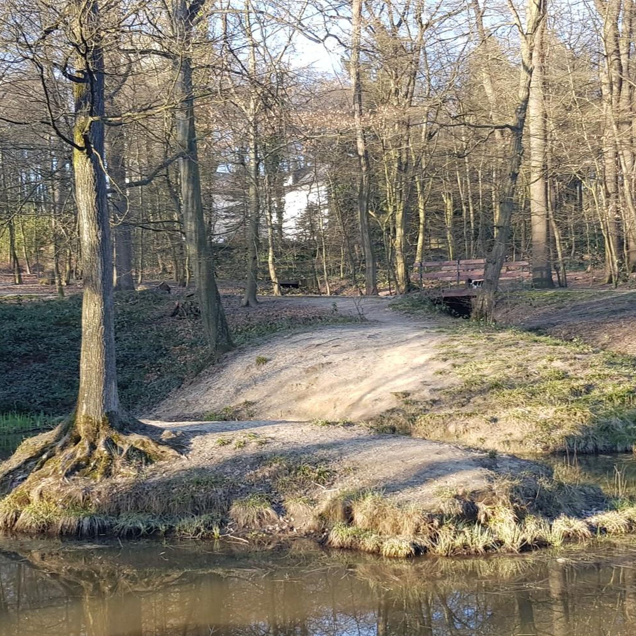
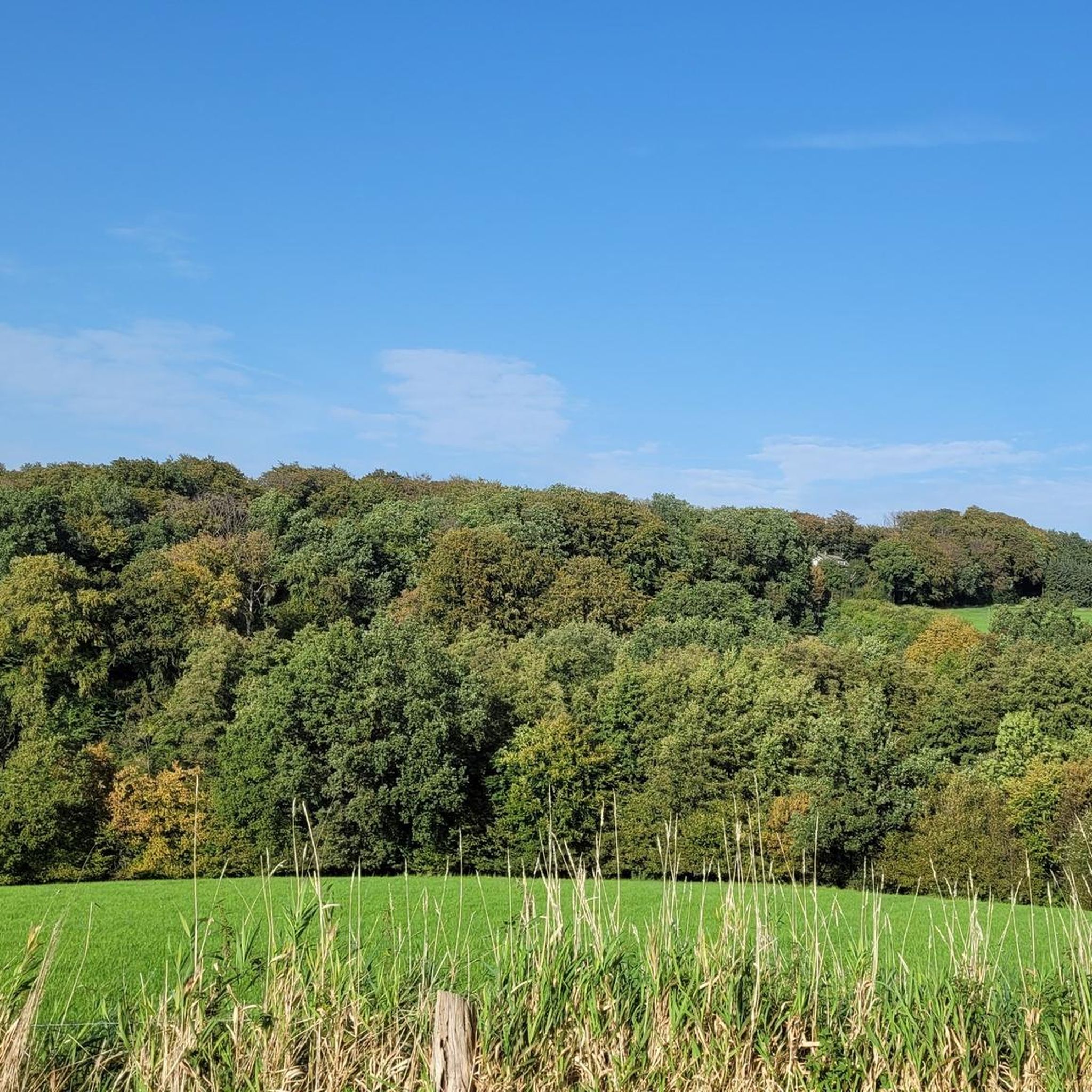
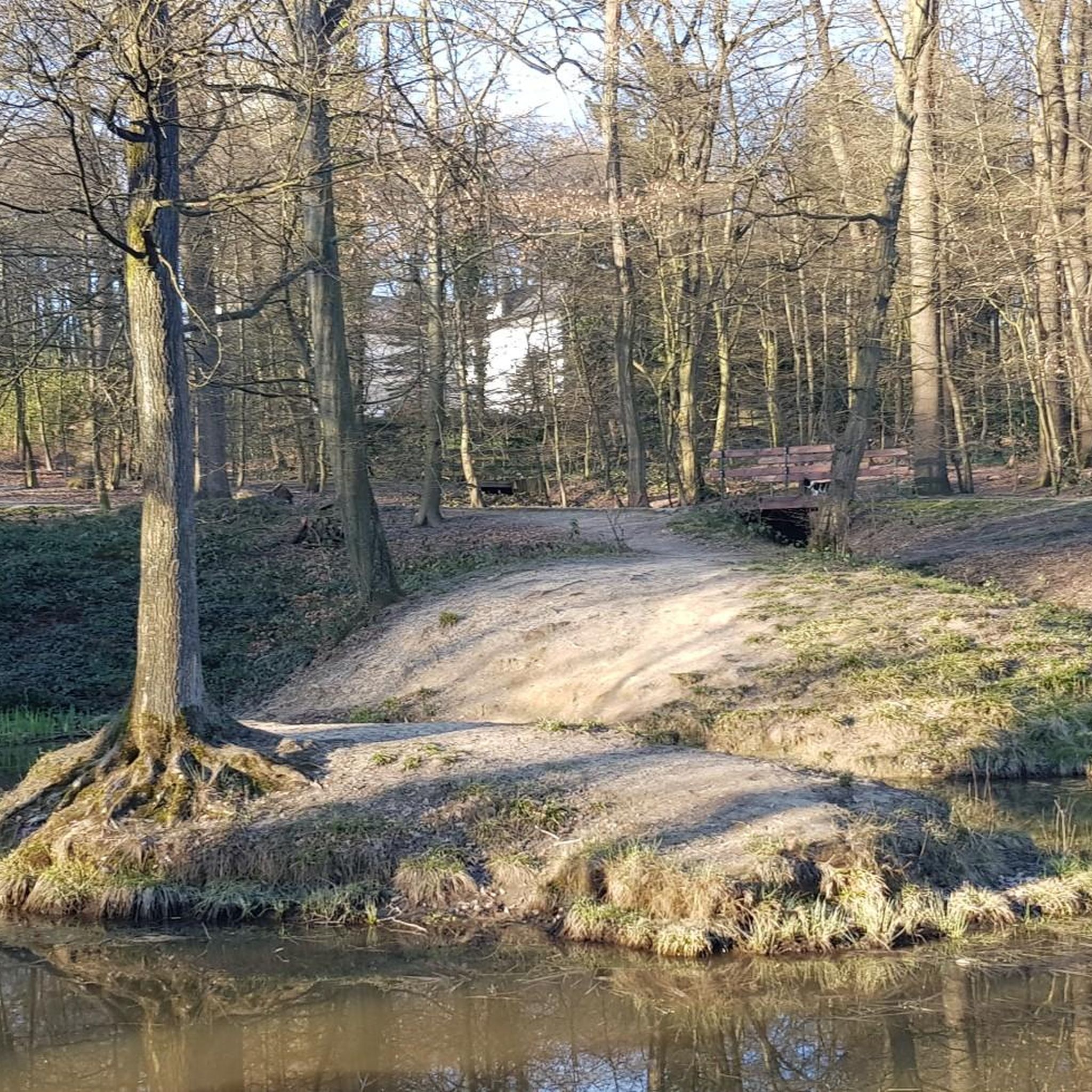
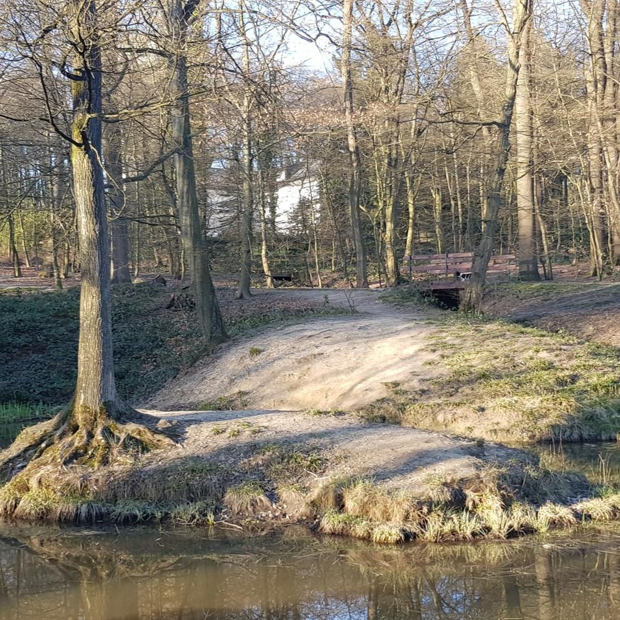
Mountaineering routes Mirker Hain traverse a landscape characterized by varied terrain, including forested valleys and rolling hills. The region, situated near Wuppertal, offers a mix of moderate and challenging ascents. Mountaineers can expect to navigate through dense woodlands and along river valleys, encountering significant elevation changes. This area provides opportunities for exploring natural reserves and scenic viewpoints.
Best mountaineering routes around Mirker Hain
- The most popular mountaineering route is Rheinbachteiche – Hahnerberg loop from Gelpe-Saalbach, a difficult 14.8 miles…
Last updated: June 24, 2026
5.0
(2)
2
hikers
Hard mountaineering route. Very good fitness required. Easily-accessible paths. Suitable for all skill levels.
2
hikers
Moderate mountaineering route. Good fitness required. Easily-accessible paths. Suitable for all skill levels.

Sign up for free
5.0
(1)
1
hikers
13.9km
04:01
360m
360m
Moderate mountaineering route. Good fitness required. Easily-accessible paths. Suitable for all skill levels.
12.2km
03:18
170m
170m
Moderate mountaineering route. Good fitness required. Easily-accessible paths. Suitable for all skill levels.
Our route recommendations are based on thousands of hikes, rides, and runs completed by other people on komoot.
Start today with a free account
Your next adventure awaits.
Login or Signup
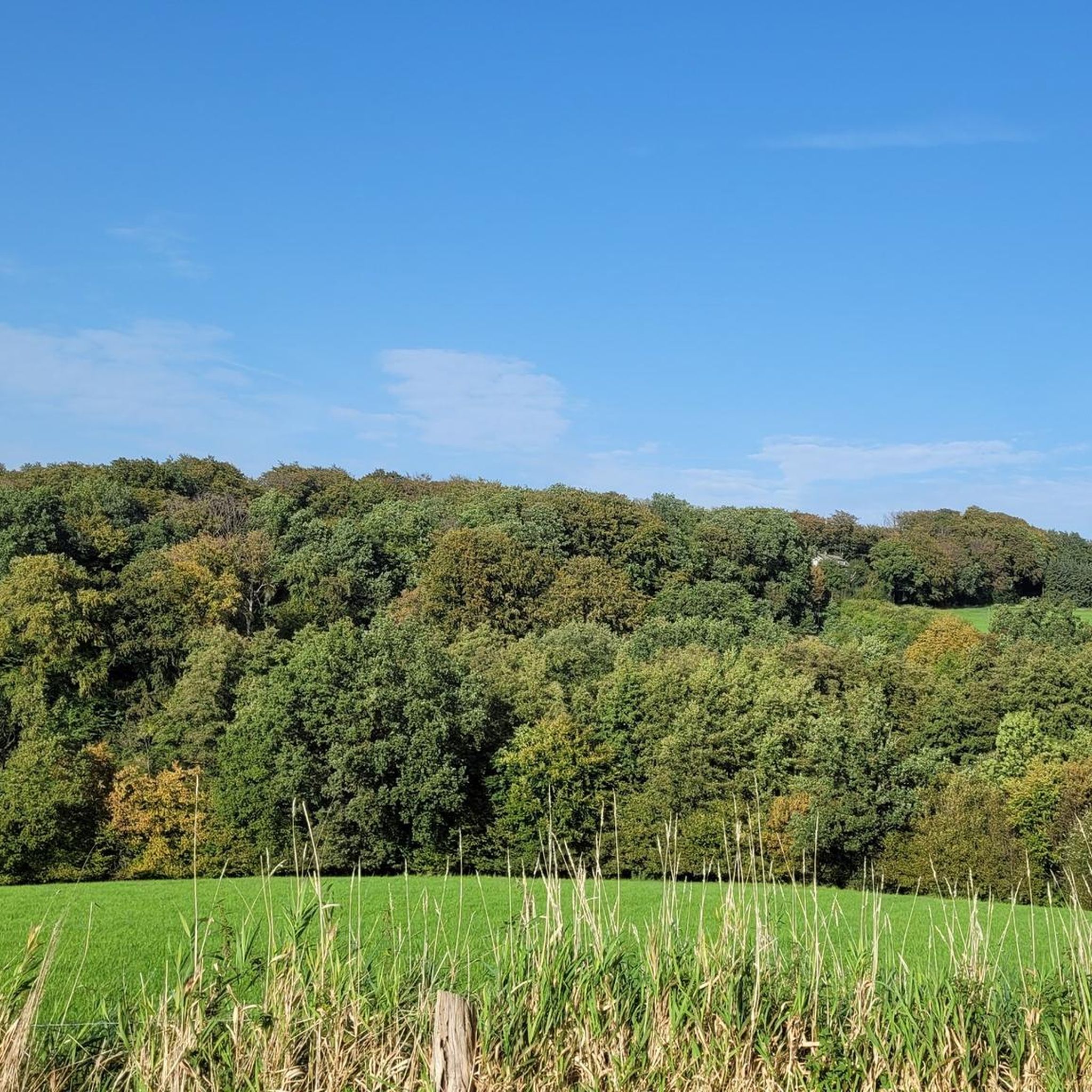
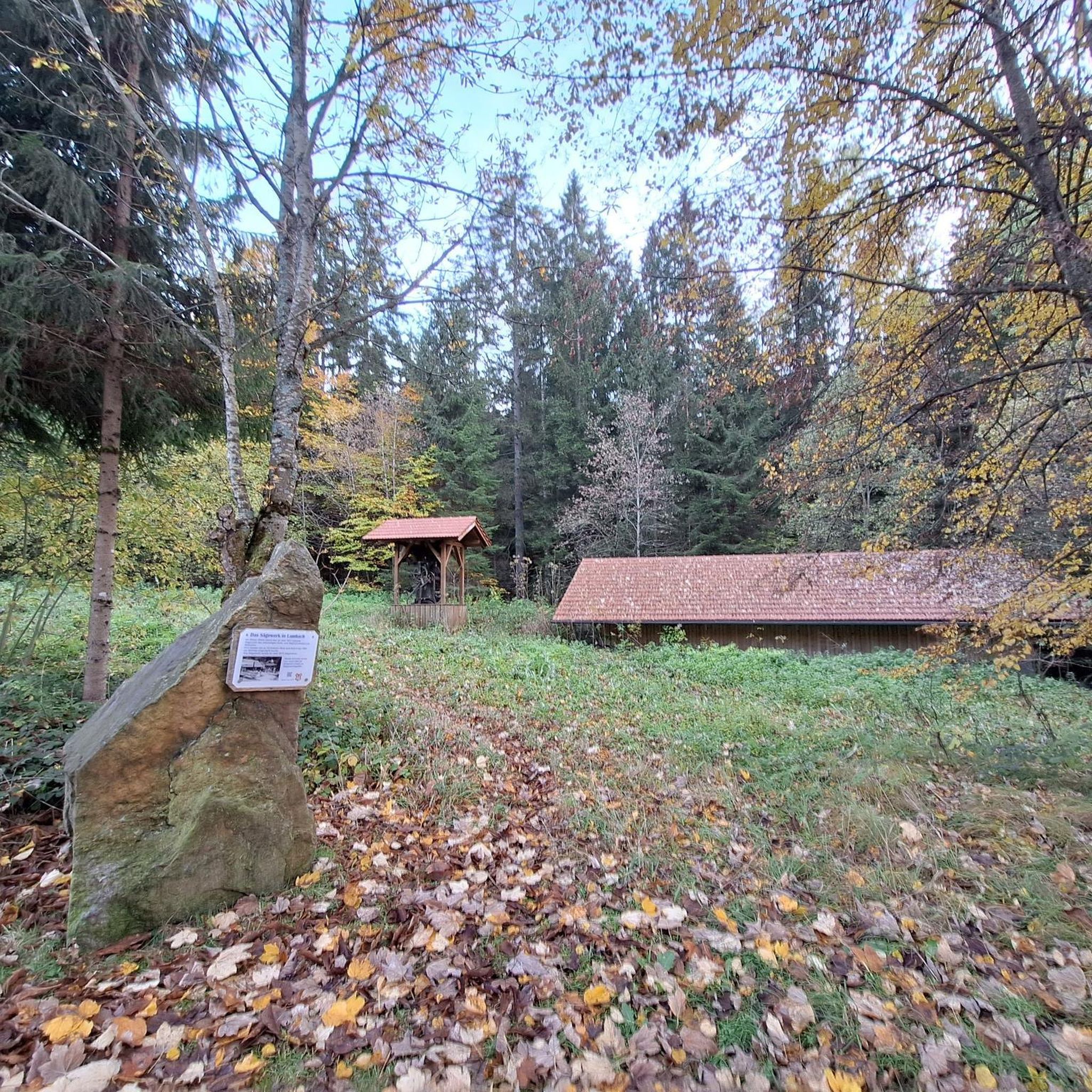
Tips from the Community

Rustic bridge with head-free function
0
0

The idyllic Elfringhauser Schweiz is located in North Rhine-Westphalia, on the southern edge of the Ruhr area at the transition to the Bergisches Land, between Hattingen, Sprockhövel, Velbert and Wuppertal.
0
0


Interesting what the Komoot AI does with highlight names. I think this river in the Bergisches Land is called the Wupper... 🤔
0
0

simply to enjoy
0
0

If you follow the Düssel, you will reach Düsseldorf
0
1

Nice hike with good views, better on dry paths
0
0

The part of the Bergisch-Märkisch hilly landscape south of the Ruhr near Elfringhausen between Hattingen, Wuppertal, Sprockhövel and Velbert is known as Elfringhauser Schweiz. Two deep stream valleys, the Deilbachtal and the Felderbachtal, are framed by elevations that are sometimes 300 m high, and numerous brooks lead from the mountain slopes into the valleys. The area west of the Deilbach is part of the Bergisches Land, while the area east of it belongs to the Märkisch part of Westphalia. In addition to agriculture and forestry, the hilly country is primarily used as a recreational area. There are many hiking trails that go up and down. Sometimes you hike through forests, then you go through idyllic valleys, so everything is very varied.
0
2
Frequently Asked Questions
What is the general difficulty level of mountaineering routes in Mirker Hain?
Mountaineering routes in Mirker Hain offer a mix of moderate and challenging ascents. While there are no easy routes listed, you'll find several moderate options, such as the Felderbach Valley Nature Reserve – View of Felderbachtal loop from Felderbachtal, which is 8.4 km long with 159m of elevation gain. For a more demanding experience, consider the Rheinbachteiche – Hahnerberg loop from Gelpe-Saalbach, a difficult 23.8 km route with over 670m of elevation gain.
Are there any circular mountaineering routes available in Mirker Hain?
Yes, all the mountaineering routes around Mirker Hain are designed as circular loops, allowing you to start and end at the same point. Examples include the Kreiswald loop from Langenberg-Mitte, which is 13.9 km, and the Gruiten Dorf – Düssel River in the Neander Valley loop from Vohwinkel, covering 11.7 km.
What kind of terrain can I expect on mountaineering routes in Mirker Hain?
The terrain in Mirker Hain is characterized by varied landscapes, including dense woodlands, forested valleys, and river paths. You can expect significant elevation changes and rolling hills, providing a diverse and engaging mountaineering experience.
What are some scenic viewpoints or natural attractions along the routes?
The region offers several scenic spots. The Felderbach Valley Nature Reserve – View of Felderbachtal loop from Felderbachtal route, for instance, provides scenic views within a nature reserve. Additionally, you might encounter highlights like the Cascades on the Vogelsangbach, a beautiful waterfall, or the Belvedere Tower (Villa Seyd Park) for panoramic views.
How long do the mountaineering routes in Mirker Hain typically take to complete?
The duration varies depending on the route's length and difficulty. For example, the moderate Felderbach Valley Nature Reserve – View of Felderbachtal loop from Felderbachtal can be completed in about 2 hours 20 minutes, while the challenging Rheinbachteiche – Hahnerberg loop from Gelpe-Saalbach typically takes around 7 hours.
Are there any historical sites or landmarks to explore near the mountaineering trails?
Yes, the area around Mirker Hain features interesting historical sites. You can find the Villa Seyd and the unique Norwegian Prefabricated House (Kohlstraße 64), offering glimpses into the region's past.
What do other mountaineers say about the routes in Mirker Hain?
The mountaineering routes in Mirker Hain are highly regarded by the komoot community, holding an average rating of 5.0 stars from over 3 reviews. Users often praise the varied terrain and the opportunities to explore natural reserves and scenic viewpoints.
Are there options for more challenging mountaineering experiences in Mirker Hain?
Absolutely. For advanced mountaineers seeking a challenge, the Rheinbachteiche – Hahnerberg loop from Gelpe-Saalbach is a difficult 23.8 km route with substantial elevation gain, designed to test endurance and skill.
What is the best season for mountaineering in Mirker Hain?
Mirker Hain's forested valleys and varied terrain make it suitable for mountaineering across multiple seasons. Spring and autumn offer pleasant temperatures and vibrant foliage, while summer provides longer daylight hours. Winter conditions can introduce new challenges, so always check local weather and trail conditions before heading out.
What should I wear for mountaineering in Mirker Hain?
Given the varied terrain and potential for elevation changes, it's advisable to wear sturdy hiking boots with good ankle support. Layered clothing is recommended to adapt to changing weather conditions, and waterproof outerwear is a good idea, especially during wetter seasons. Don't forget a backpack with water, snacks, and a first-aid kit.
Are there any cafes or pubs near the mountaineering routes for refreshments?
While specific establishments are not listed in the route details, Mirker Hain is situated near Wuppertal. You can typically find cafes and pubs in the surrounding towns and villages, such as Langenberg-Mitte or Vohwinkel, which serve as starting points for some of the routes. It's a good idea to check local listings for options before or after your tour.
Most popular routes around Mirker Hain
Most popular attractions around Mirker Hain

Get inspired with the komoot mobile app


