The best mountain hikes around Prüll
18
hikers
6
hikes
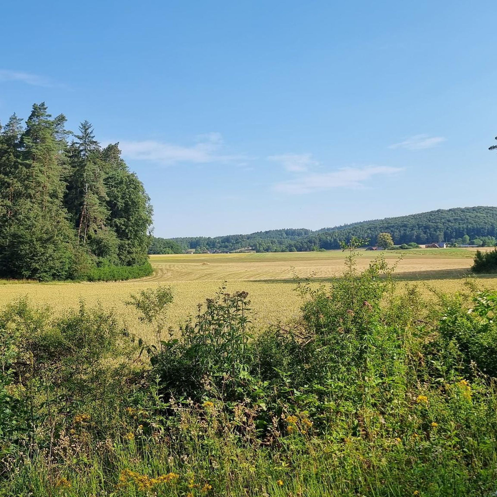
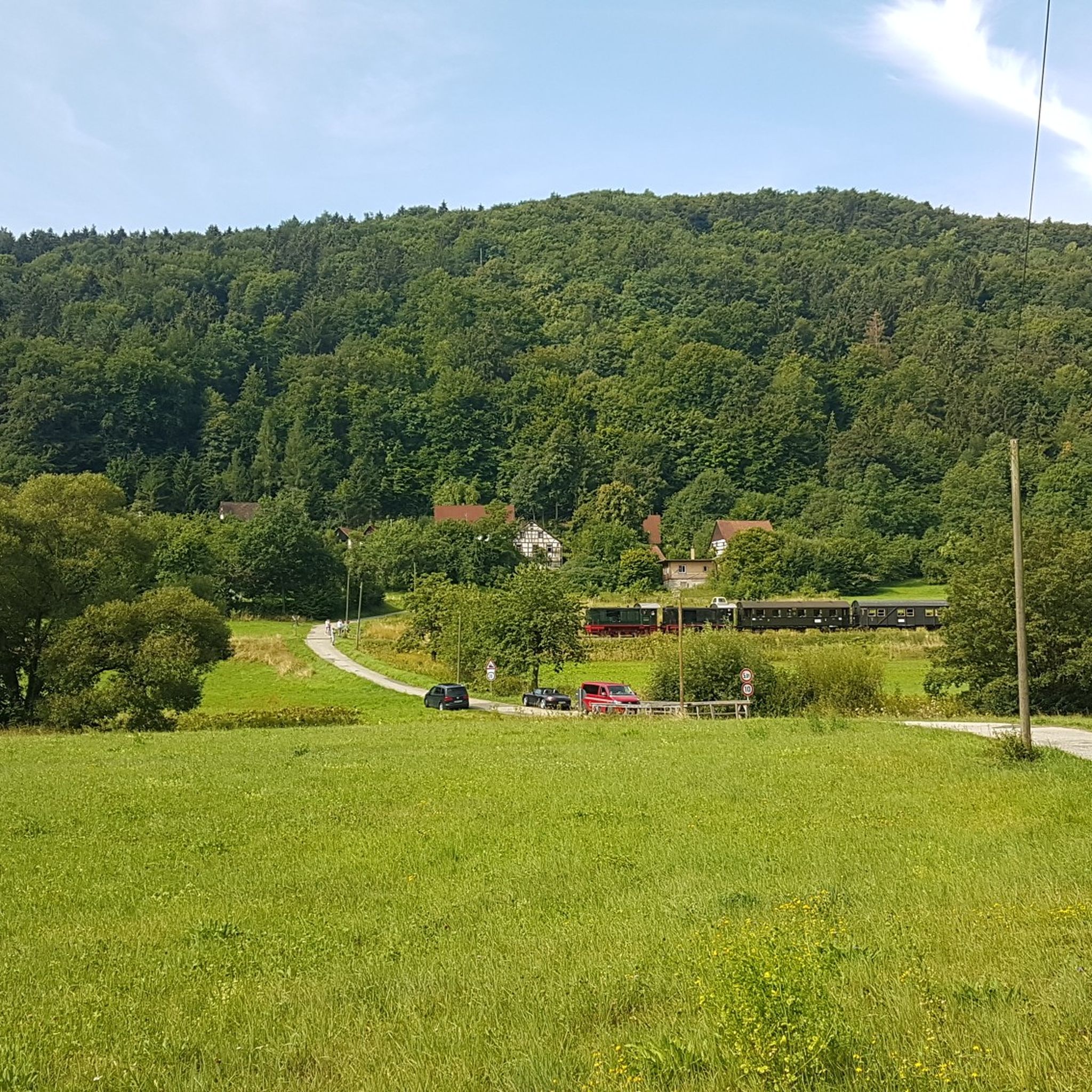
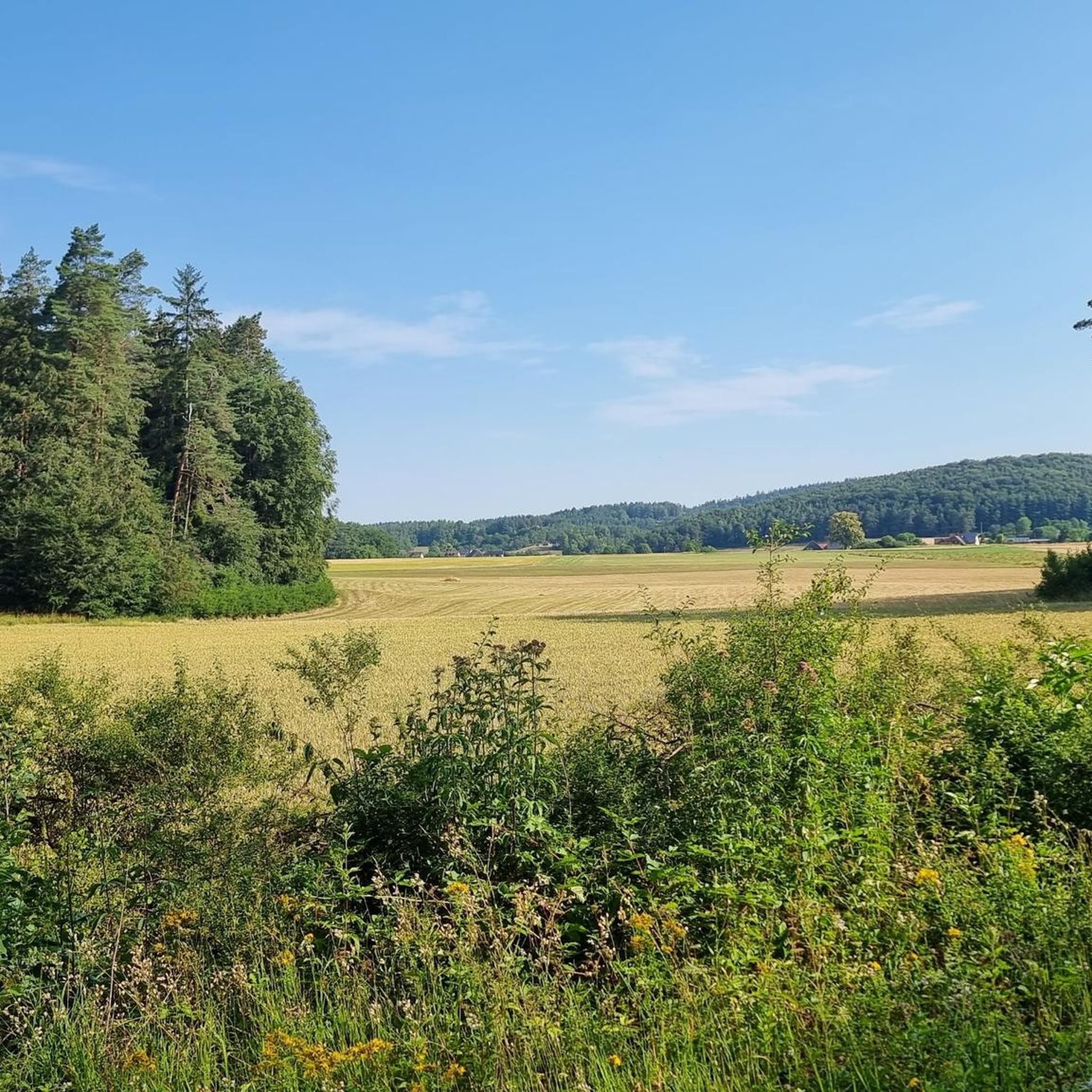
Mountaineering routes around Prüll traverse a diverse landscape characterized by river valleys, forested hills, and scenic viewpoints. The region offers a mix of terrain, from paths alongside waterways to ascents through woodlands. Elevations are generally moderate, providing accessible options for various skill levels. This area is known for its natural beauty and varied topography, making it suitable for exploring on foot.
Best mountaineering routes around Prüll
- The most popular mountaineering route is Sachsenmühle Beer Garden – Cycle Path Along the Wiesent loop from Gößweinstein, a 8.3 miles (13.3 km) trail that takes about 3 hours 55 minutes to complete. This route follows the Wiesent river, offering varied terrain through the valley.
- Another top favourite among local mountaineers is View of Pottenstein – Pottenstein Castle loop from Pottenstein, a moderate 10.0 miles (16.1 km) path. This route provides expansive views of Pottenstein and its historic castle, with a steady elevation gain.
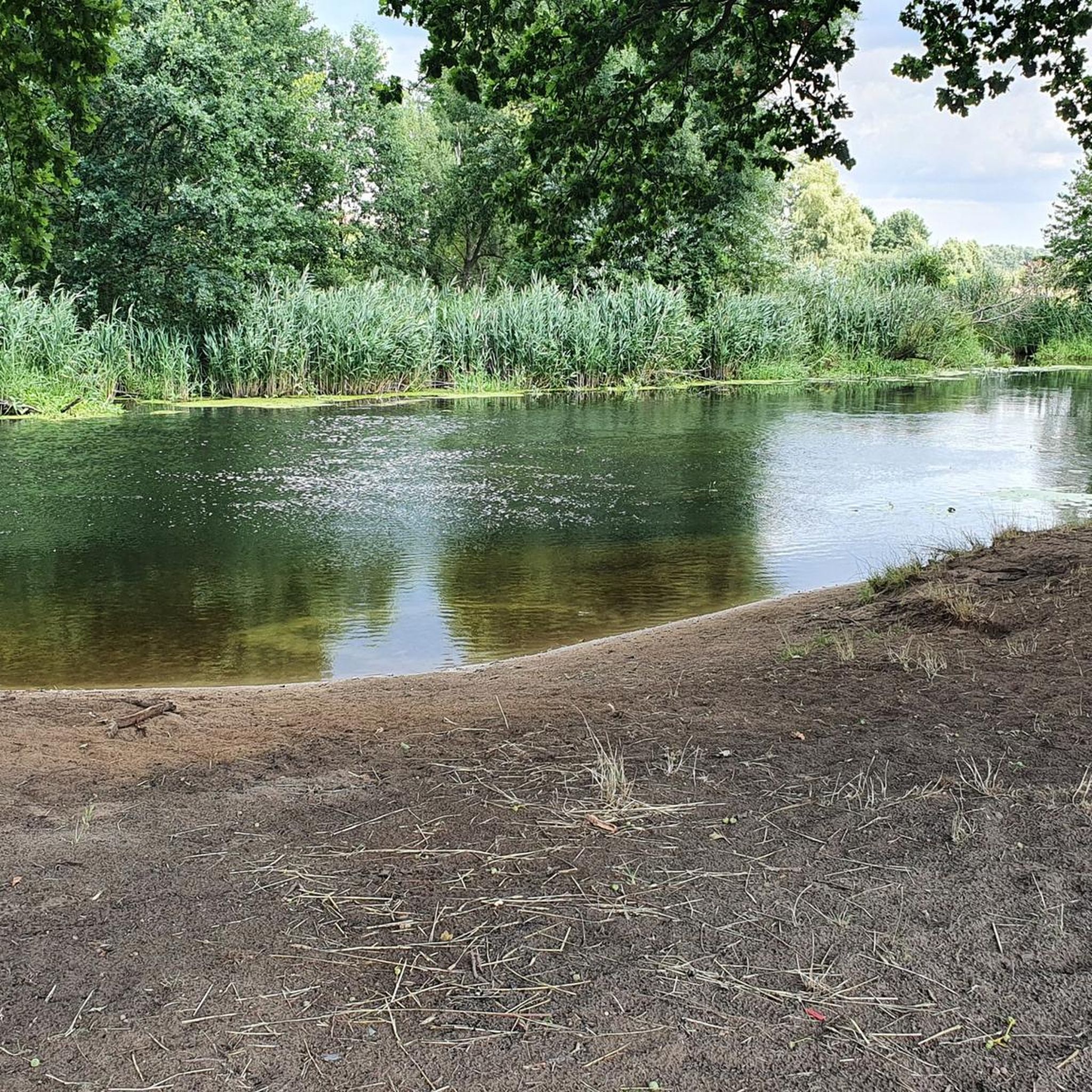
- Local mountaineers also love the Schöngrundsee Lakeside Trail – Pottenstein loop from Pottenstein, a 7.2 miles (11.6 km) trail leading through lakeside scenery and forested sections, often completed in about 3 hours 10 minutes.
- Mountaineering around Prüll is defined by river valleys, forested hills, and scenic viewpoints. The network offers options for different ability levels, from easier loops to more challenging moderate ascents.
- More than 10 mountaineers have used komoot to explore Prüll's varied terrain.
Last updated: July 5, 2026
9
hikers
13.3km
03:53
350m
350m
Moderate mountaineering route. Good fitness required. Easily-accessible paths. Suitable for all skill levels.
2
hikers
5.02km
01:27
130m
130m
Easy mountaineering route. Great for any fitness level. Easily-accessible paths. Suitable for all skill levels.

Sign up for free
1
hikers
5.61km
01:33
100m
100m
Easy mountaineering route. Great for any fitness level. Easily-accessible paths. Suitable for all skill levels.
3
hikers
Moderate mountaineering route. Good fitness required. Easily-accessible paths. Suitable for all skill levels.
2
hikers
16.1km
04:35
340m
340m
Moderate mountaineering route. Good fitness required. Mostly accessible paths. Sure-footedness required.
Our route recommendations are based on thousands of hikes, rides, and runs completed by other people on komoot.
Start today with a free account
Your next adventure awaits.
Login or Signup
Tips from the Community

From November 9, 2025, the cave will be in winter mode, meaning it will only be open on Sundays. Guided tours will take place on Sundays at the following fixed times: 11:00 AM, 12:20 PM, 1:40 PM, and 3:00 PM. Between December 26 and January 6, the cave will be open daily at the same tour times.
8
0

an interesting area for hiking.
0
0

An interesting church in the center of Pottenstein. A visit is worthwhile, especially for admiring the altar, side altars, pulpit, and ceiling paintings. The Mount of Olives scene on the north side of the church dates back to around 1520.
0
0
Can a woman born in 1207 still inspire people today? This seems to be the case with Saint Elizabeth of Thuringia. She only lived to be 24, but her charity and deep religiosity live on to this day.
0
0

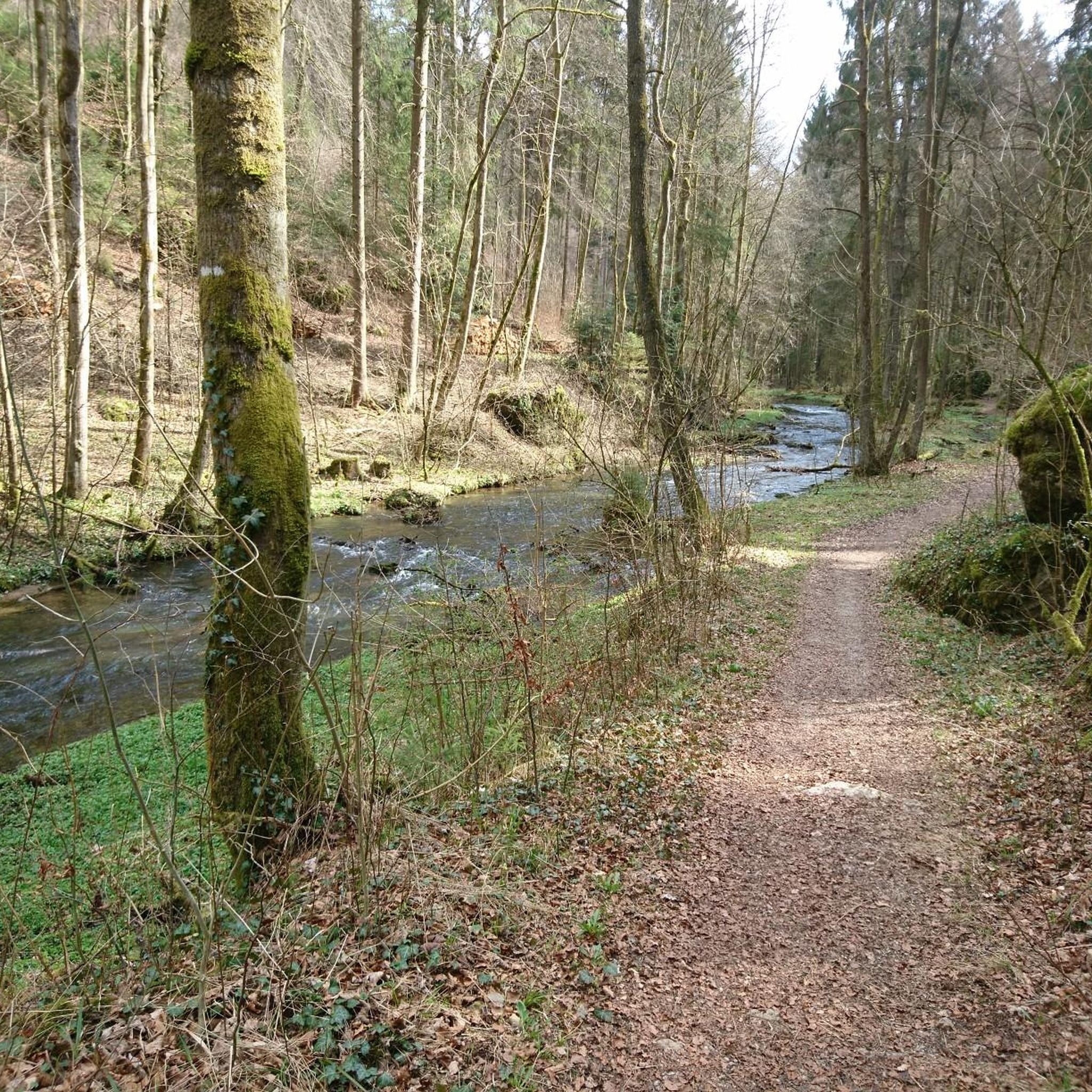
Nice path along the babbling brook... but here you have to push
8
0
Located directly in the old town center on a one-way street, but unfortunately closed
9
0
Overwhelming view of the castle perched on the rocky plateau
9
0

Saint Elizabeth stands directly in Pottenstein. A beautiful statue with an information panel.
0
0
Frequently Asked Questions
What are the typical difficulty levels for mountaineering routes around Prüll?
The mountaineering routes around Prüll primarily offer easy and moderate difficulty levels. There are 2 easy routes and 4 moderate routes available, making the area accessible for various skill levels. You won't find any routes classified as difficult here.
Are there any easy mountaineering routes suitable for beginners in Prüll?
Yes, Prüll offers several easy mountaineering routes perfect for beginners. A good option is the Great Hasenloch – View of Pottenstein loop from Pottenstein, which is about 3.1 miles (5 km) long and takes around 1 hour 25 minutes. Another easy choice is the Reibertsberg Cave loop from Ruine Bärnfels, covering 3.5 miles (5.6 km) in about 1 hour 33 minutes.
How long do mountaineering routes around Prüll typically take to complete?
The duration of mountaineering routes in Prüll varies. Shorter, easy routes like the Great Hasenloch – View of Pottenstein loop from Pottenstein can be completed in about 1 hour 25 minutes. Moderate routes, such as the popular Sachsenmühle Beer Garden – Cycle Path Along the Wiesent loop from Gößweinstein, typically take around 3 hours 55 minutes. The longest routes, like the View of Pottenstein – Pottenstein Castle loop from Pottenstein, can take up to 4 hours 36 minutes.
Are there any circular mountaineering routes in Prüll?
Yes, many of the mountaineering routes around Prüll are designed as loops, offering convenient circular journeys. Examples include the Sachsenmühle Beer Garden – Cycle Path Along the Wiesent loop from Gößweinstein, the View of Pottenstein – Pottenstein Castle loop from Pottenstein, and the Schöngrundsee Lakeside Trail – Devil's Cave, Pottenstein loop from Pottenstein.
What kind of terrain can I expect on mountaineering routes in Prüll?
Mountaineering routes in Prüll feature a diverse landscape. You can expect paths alongside river valleys, ascents through forested hills, and sections offering scenic viewpoints. The terrain is generally moderate, with varied topography suitable for exploring on foot.
What are some notable natural attractions or landmarks along the mountaineering routes?
The region around Prüll is rich in natural beauty and interesting landmarks. Along your routes, you might encounter highlights such as the Upper Püttlach Valley, the scenic Klumpertal, or the impressive Wasserstein Gate. Some routes also pass by the Trail from Pottenstein to the Teufelshöhle (west shore of the Schöngrundsee).
Are there any routes that offer views of historical sites?
Yes, the View of Pottenstein – Pottenstein Castle loop from Pottenstein is a moderate 10.0-mile (16.1 km) path that provides expansive views of Pottenstein and its historic castle, combining natural beauty with a glimpse into the region's past.
What is the best time of year for mountaineering in Prüll?
While specific data isn't provided, mountaineering in regions with river valleys and forested hills like Prüll is generally best enjoyed from late spring through early autumn (May to October). During these months, the weather is typically milder, and trails are clear of snow, offering optimal conditions for exploring the diverse landscape.
Are there any routes that follow rivers or lakes?
Absolutely. The Sachsenmühle Beer Garden – Cycle Path Along the Wiesent loop from Gößweinstein follows the Wiesent river, offering varied terrain through the valley. Another excellent option is the Schöngrundsee Lakeside Trail – Devil's Cave, Pottenstein loop from Pottenstein, which leads through beautiful lakeside scenery.
How many mountaineering routes are available around Prüll?
There are 6 distinct mountaineering routes available around Prüll, offering a good selection for different preferences and skill levels.
What do other mountaineers enjoy most about the routes in Prüll?
Mountaineers using komoot to explore Prüll often praise the region's varied terrain, which includes river valleys, forested hills, and scenic viewpoints. The network of routes offers options for different ability levels, from easier loops to more challenging moderate ascents, ensuring there's something for everyone.
Most popular attractions around Prüll

Get inspired with the komoot mobile app


Explore more
Browse the best Mountain Hikes & Routes in other regions.
