The best mountain hikes around Erkrath
5
hikers
7
hikes
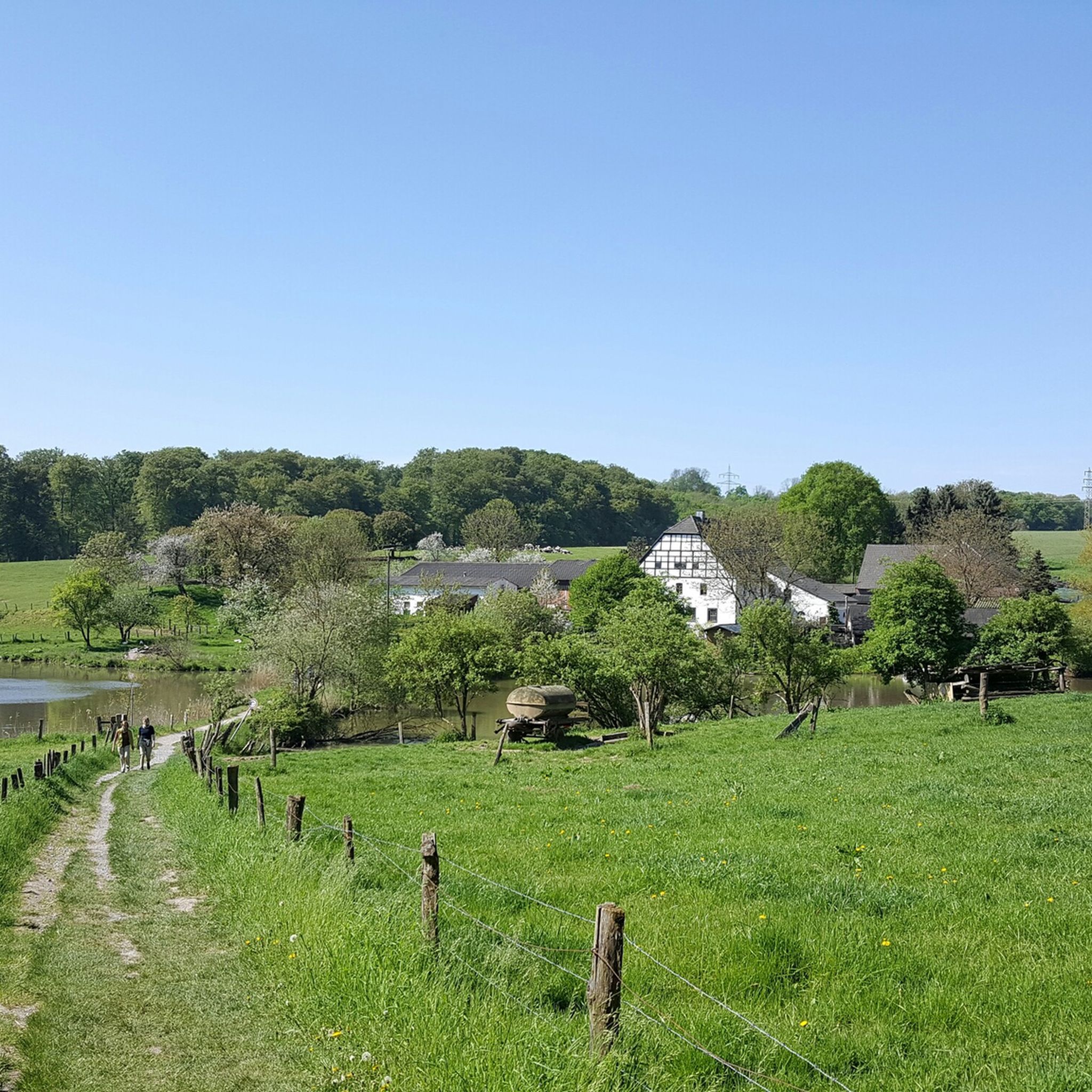
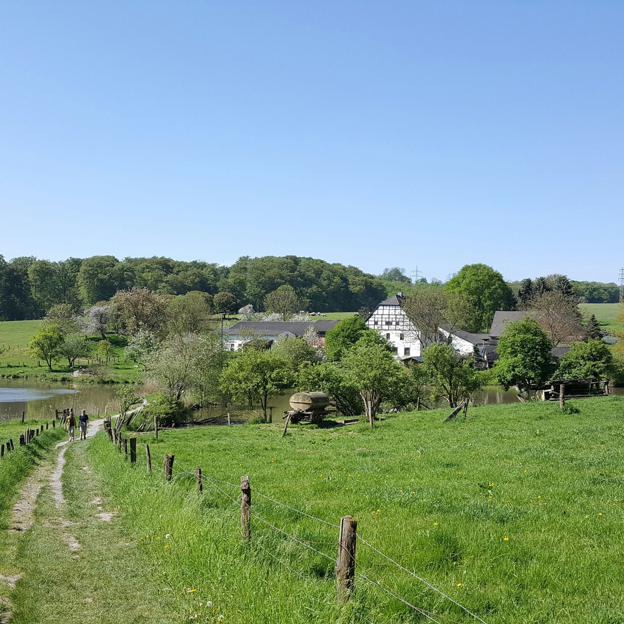
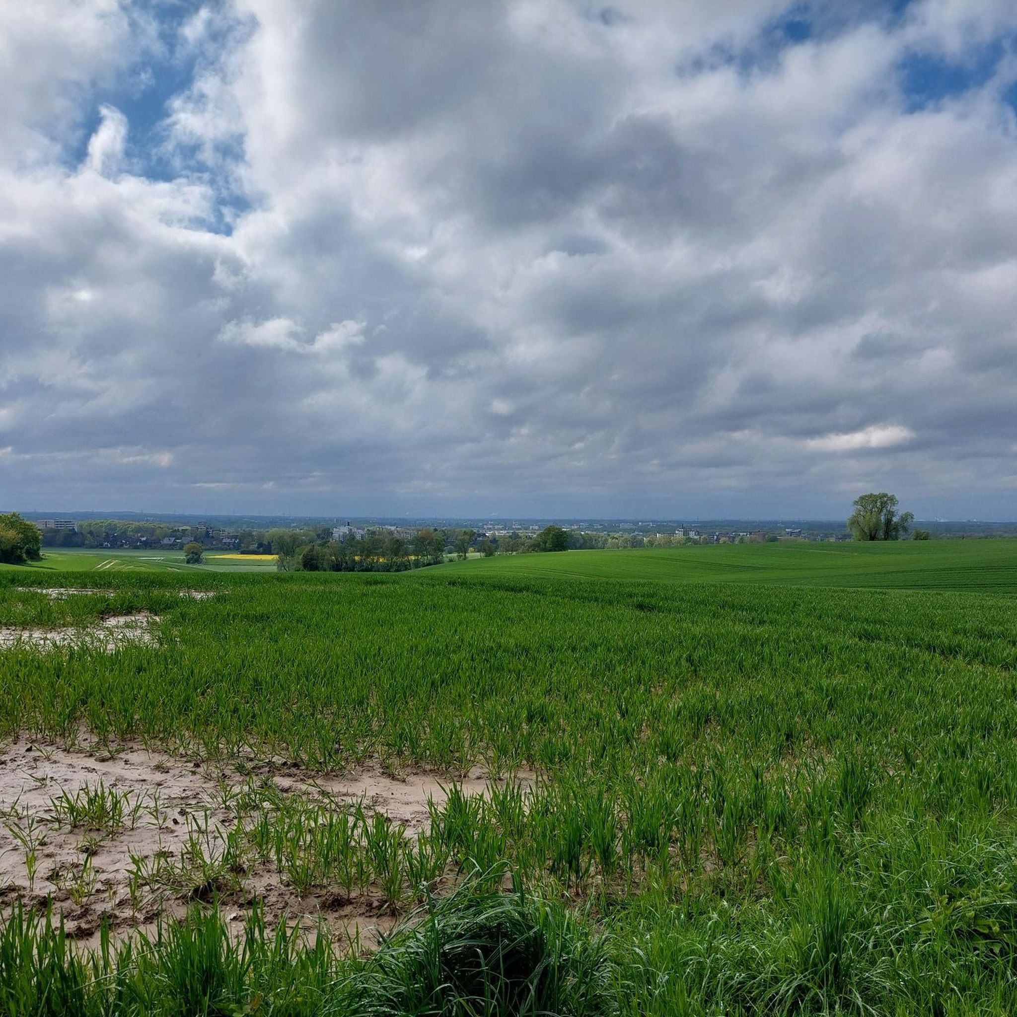
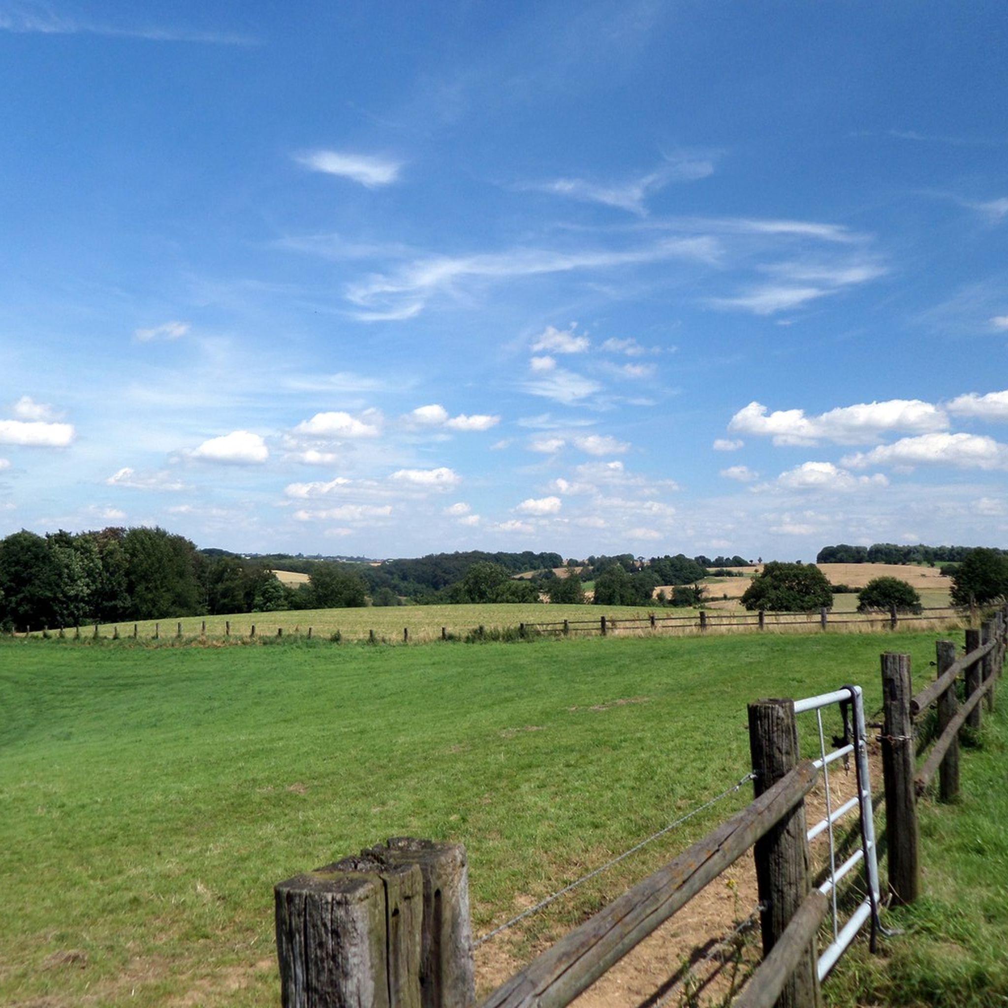
Mountaineering around Erkrath offers diverse terrain characterized by hilly landscapes, deep valleys, and extensive forests. The region features significant elevation changes, particularly within areas like the Neander Valley and Stinderbachtal, providing challenging experiences. These natural environments, including the Düssel River and its meadows, create varied paths suitable for demanding outdoor activities. The topography includes both open fields and dense woodland, making it a compelling destination for active recreation.
Best mountaineering routes around Erkrath
- The most popular mountaineering route is Gruiten…
Last updated: October 7, 2026
12.2km
03:19
170m
170m
Moderate mountaineering route. Good fitness required. Easily-accessible paths. Suitable for all skill levels.
2
hikers
11.7km
02:58
30m
30m
Moderate mountaineering route. Good fitness required. Easily-accessible paths. Suitable for all skill levels.

Moderate mountaineering route. Good fitness required. Easily-accessible paths. Suitable for all skill levels.
1
hikers
Moderate mountaineering route. Good fitness required. Mostly accessible paths. Sure-footedness required.
1
hikers
10.3km
02:46
130m
130m
Moderate mountaineering route. Good fitness required. Easily-accessible paths. Suitable for all skill levels.
Get access to more routes and recommendations from other explorers.
Already have an account?
Our route recommendations are based on thousands of hikes, rides, and runs completed by other people on komoot.
Start today with a free account
Your next adventure awaits.

Other adventures around Erkrath

Tips from the Community

🌁Mega massive structure, that hardly fits on a photo📸 - Here the A3 spans 🌲the beautiful, predominantly wooded Angertal🌲. A very diverse range of biotopes🌿: 🌊Ponds, 🌿wet meadows, 🌿pastures, 🌳pollarded willows, 🌿floodplain landscapes & natural 🌲forest areas.
2
0

I was here in 05.2025 to walk the circular trail „Entdeckerschleife Baumberger Aue“ from the NeanderlandSteig. The Altrhein Auen was one of the many highlights on this route.
0
0

Rustic bridge with head-free function
0
0


If you follow the Düssel, you will reach Düsseldorf
0
1

We have found that the wet summer has resulted in a swampy landscape in the area around the fish ponds and that a lot of trees have fallen over. Everything is left lying there despite the fact that it is a designated hiking trail! So be careful. You have to be pretty fit or young to use the trail independently of the swamp.
1
0

One of the highlights in the Angerbachtal.
3
0

Indications of the direction to go, with distance indication
2
1
Frequently Asked Questions
What kind of terrain can I expect on mountaineering routes around Erkrath?
Mountaineering routes in Erkrath feature diverse terrain, characterized by hilly landscapes, deep valleys, and extensive forests. You'll encounter significant elevation changes, particularly within areas like the Neander Valley and Stinderbachtal, providing a challenging experience. The Düssel River and its meadows also contribute to varied paths, offering a mix of open fields and dense woodland.
Are there any circular mountaineering routes in the Erkrath area?
Yes, many of the routes around Erkrath are designed as loops. For example, the Gruiten Dorf – Düssel River in the Neander Valley loop from Vohwinkel is a popular circular trail exploring the historic Neander Valley. Another option is the Zons Rhine Ferry loop from Urdenbach, which offers varied scenery including views of the Rhine.
What natural features or landmarks can I see along the routes?
The region is rich in natural beauty and historical significance. You can explore the world-famous Neander Valley, where the Düssel River flows, or discover the species-rich Rotthäuser Bachtal nature reserve. The Recreation area Grube 7 is another notable natural monument.
Are there any routes that pass by water features?
Absolutely. The Düssel River is a prominent feature in many routes, especially within the Neander Valley. The Gruiten Dorf – Düssel River in the Neander Valley loop from Vohwinkel follows the Düssel River, and the Rotthäuser Bachtal is known for its wet biotopes, springs, and fish ponds.
How long do mountaineering routes in Erkrath typically take to complete?
Most mountaineering routes in Erkrath are moderate in difficulty and typically take around 3 hours to complete. For instance, the Anger Valley Nature Trail – A3 Bridge over the Anger Valley loop from Baulofsbruch is about 11.4 km long and usually takes around 3 hours and 3 minutes.
Are there any routes suitable for families?
While the routes are generally described as 'mountain hiking' due to significant elevation changes, many paths through the valleys and forests are suitable for active families. The Neander Valley itself offers a spacious recreational area with nature trails. For a slightly shorter option, the Düssel River in the Neander Valley – Gruiten Dorf loop from Haan-Gruiten is about 10.1 km.
What is the best season for mountaineering in Erkrath?
Erkrath's varied terrain, with its forests and river valleys, is enjoyable throughout much of the year. Spring and autumn offer pleasant temperatures and beautiful foliage, while summer provides lush green landscapes. Even in winter, the hilly and forested paths can be quite scenic, though conditions may require appropriate gear.
Are there any routes that offer views of the Rhine River?
Yes, the Zons Rhine Ferry loop from Urdenbach provides varied scenery, including views of the Rhine and passage through local valleys and forests. This route also passes by the Zons Car Ferry.
What kind of elevation changes can I expect on these routes?
The routes around Erkrath feature noticeable elevation changes, contributing to their 'mountain hiking' character. For example, the Cows in Morper Bachtal – Ponds in the Rotthäuser Bachtal loop from Erkrath includes an ascent of approximately 179 meters, offering a good workout through hilly terrain.
What do other mountaineers enjoy most about the routes in Erkrath?
Mountaineers using komoot often praise the diverse and challenging terrain, particularly the significant elevation changes and the scenic beauty of the Neander Valley. The combination of dense forests, river valleys, and open fields provides a varied and engaging experience for those seeking active recreation.
Are there any historical or cultural attractions near the mountaineering trails?
Yes, the region is rich in history. The world-renowned Neander Valley is home to the Neanderthal Museum and its archaeological park, offering insights into human history. Additionally, you can find the Sculpture Path along the Düssel, which combines art with a walk, and the historic Morper Park & Haus Morp for serene settings.
Most popular routes around Erkrath
Most popular attractions around Erkrath

Get inspired with the komoot mobile app


Explore more
Browse the best Mountain Hikes & Routes in other regions.
