The best mountain hikes around Balve
4.0
(2)
7
hikers
1
hike
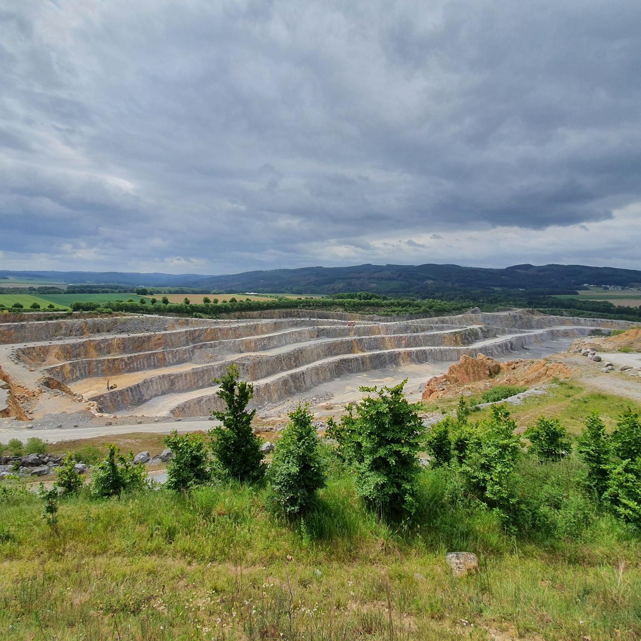
Mountaineering routes around Balve are situated within the Märkischer Kreis, a region characterized by its low mountain ranges, dense forests, and river valleys. The landscape primarily consists of rolling hills and woodlands, offering varied terrain for exploration. Elevations are generally moderate, providing accessible mountaineering experiences without extreme altitude. The area is part of the Naturpark Sauerland-Rothaargebirge, known for its natural beauty and well-maintained trails.
Best mountaineering routes around Balve
- The most popular mountaineering route is Left Source of the Waldbach – Sauerland-Höhenflug Trail loop from Müggenohl, a 6.6 miles (10.6 km) moderate trail that takes 3 hours 2 minutes to complete. This route features a significant elevation gain of over 250 meters, traversing varied forest paths.
- Another top favourite among local mountaineers is View of the Wildewiese – View of Wildewiese loop from Müggenohl, an easy 3.2 miles (5.1 km) path. This shorter route offers scenic views of the Wildewiese area and is suitable for a quicker outing.
- Local mountaineers also love the Milky Way Trail Part I – View of Balve from Naturpark Sauerland-Rothaargebirge loop from Deilinghofen, a 8.9 miles (14.4 km) trail leading through the Naturpark Sauerland-Rothaargebirge, often completed in about 4 hours 10 minutes.
- Mountaineering around Balve is defined by dense woodlands, rolling hills, and scenic river valleys. The network offers options for different ability levels, from easy loops to more challenging moderate ascents.
- The routes in Balve are highly rated by the komoot community with an average score of 4.0 stars from a few reviews. A number of mountaineers have used komoot to explore Balve's varied terrain.
Last updated: July 4, 2026
4.0
(2)
5
hikers
Moderate mountaineering route. Good fitness required. Easily-accessible paths. Suitable for all skill levels.
2
hikers
5.14km
01:27
110m
110m
Easy mountaineering route. Great for any fitness level. Easily-accessible paths. Suitable for all skill levels.

Sign up for free
Moderate mountaineering route. Good fitness required. Easily-accessible paths. Suitable for all skill levels.
Our route recommendations are based on thousands of hikes, rides, and runs completed by other people on komoot.
Start today with a free account
Your next adventure awaits.
Login or Signup
Popular around Balve
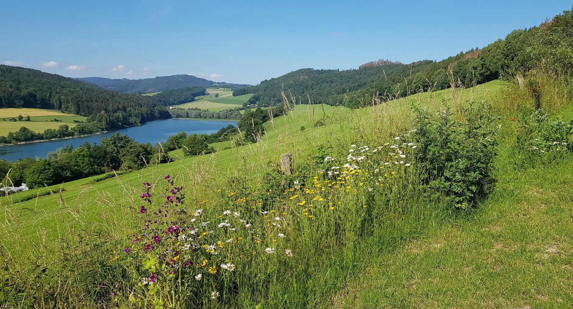
Germany's Sauerland Forest Route – Views and discoveries
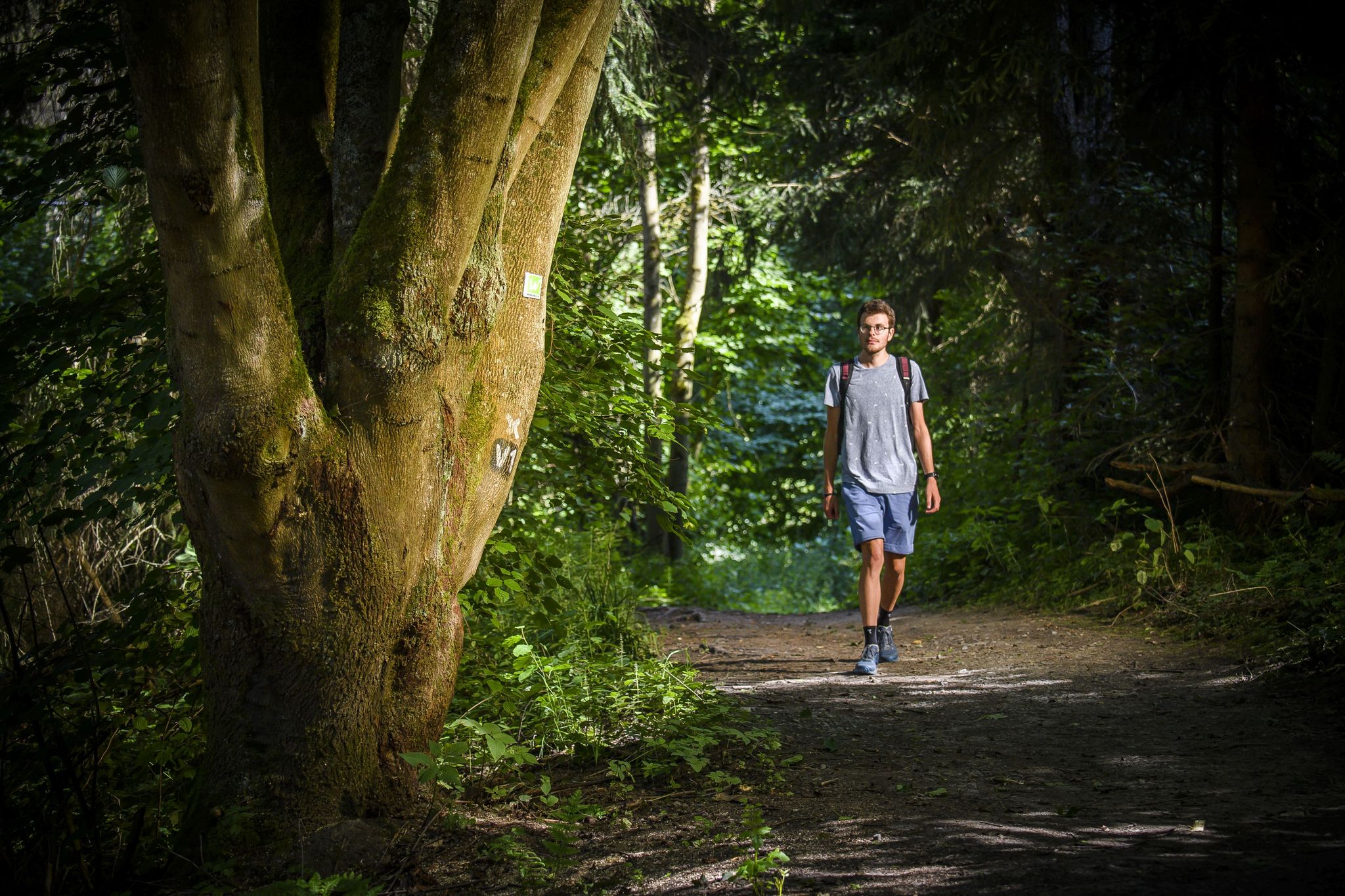
High trails and deep views – hiking in the Märkisches Sauerland
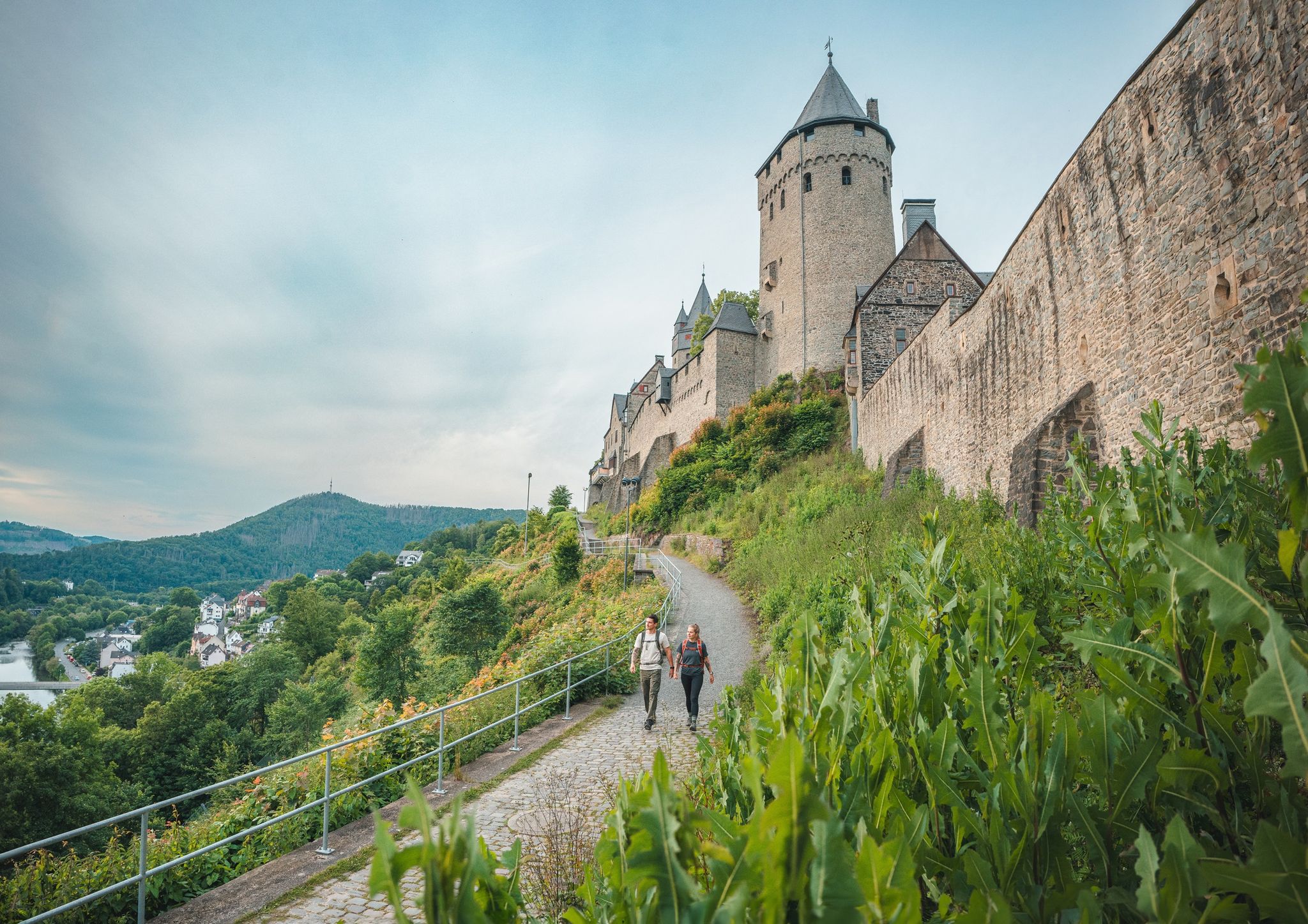
One Way Wanderlust: hiking in the Sauerland by public transport
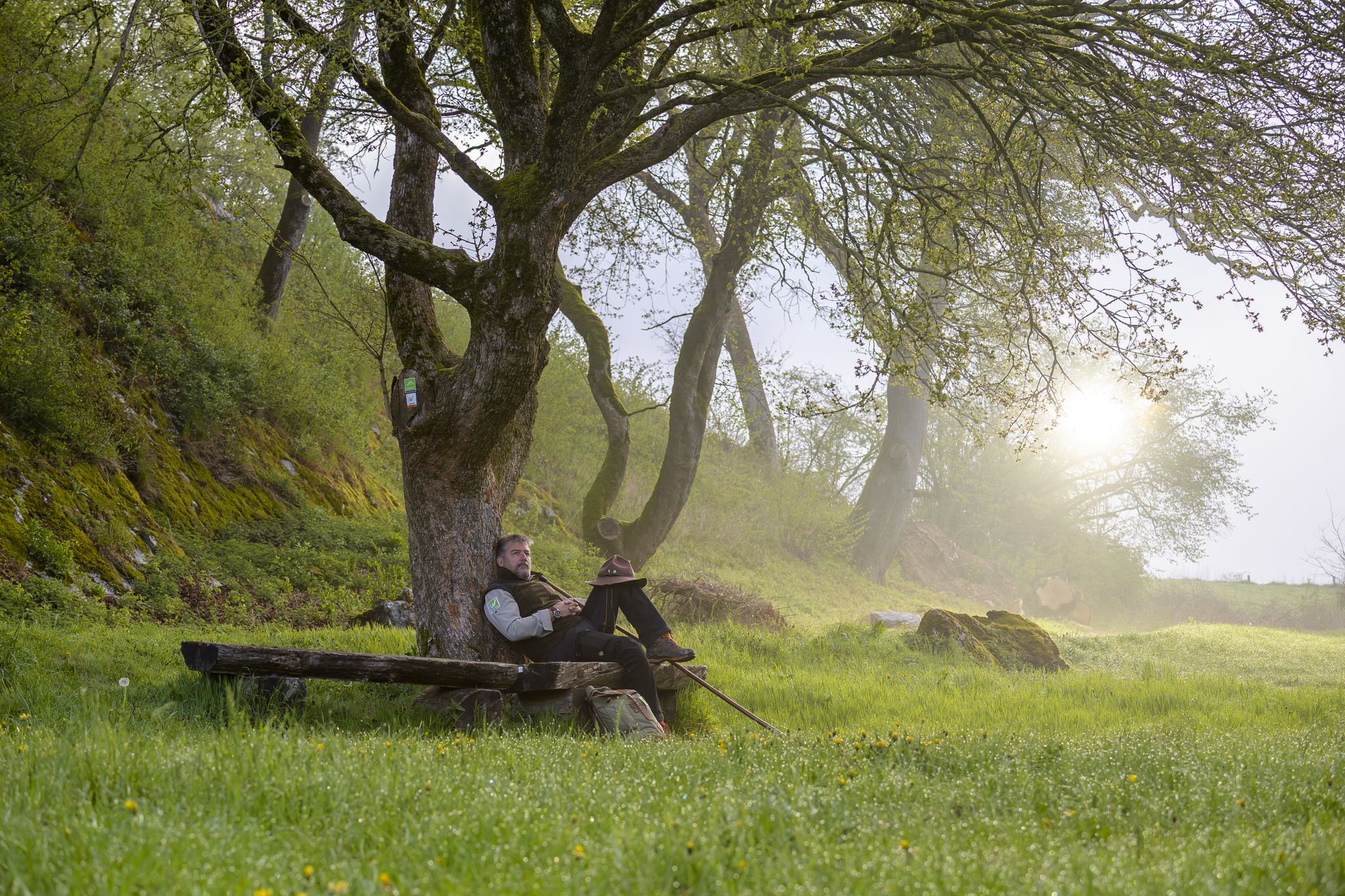
Zauberhaft mystisch - Die Sauerland-Waldroute
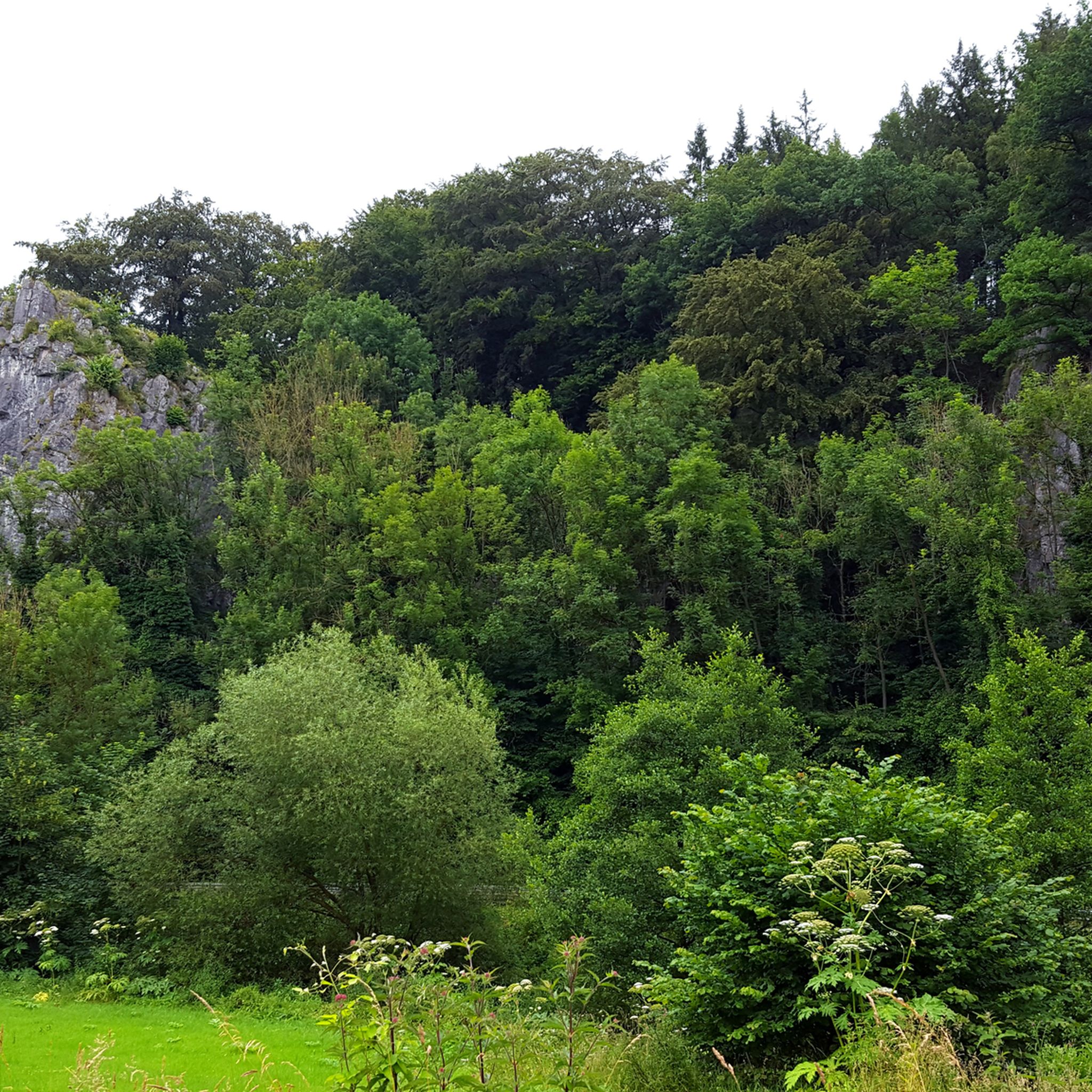
Hiking around Balve
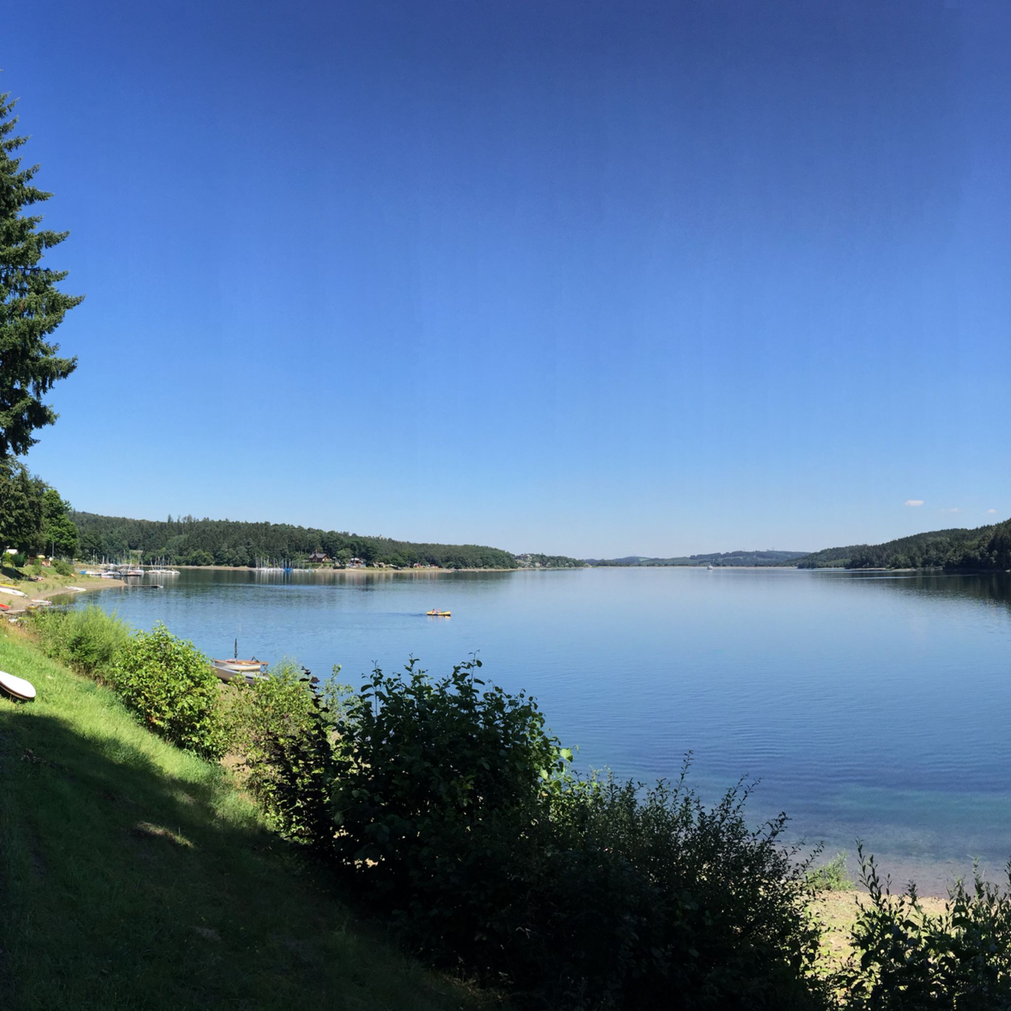
Cycling around Balve
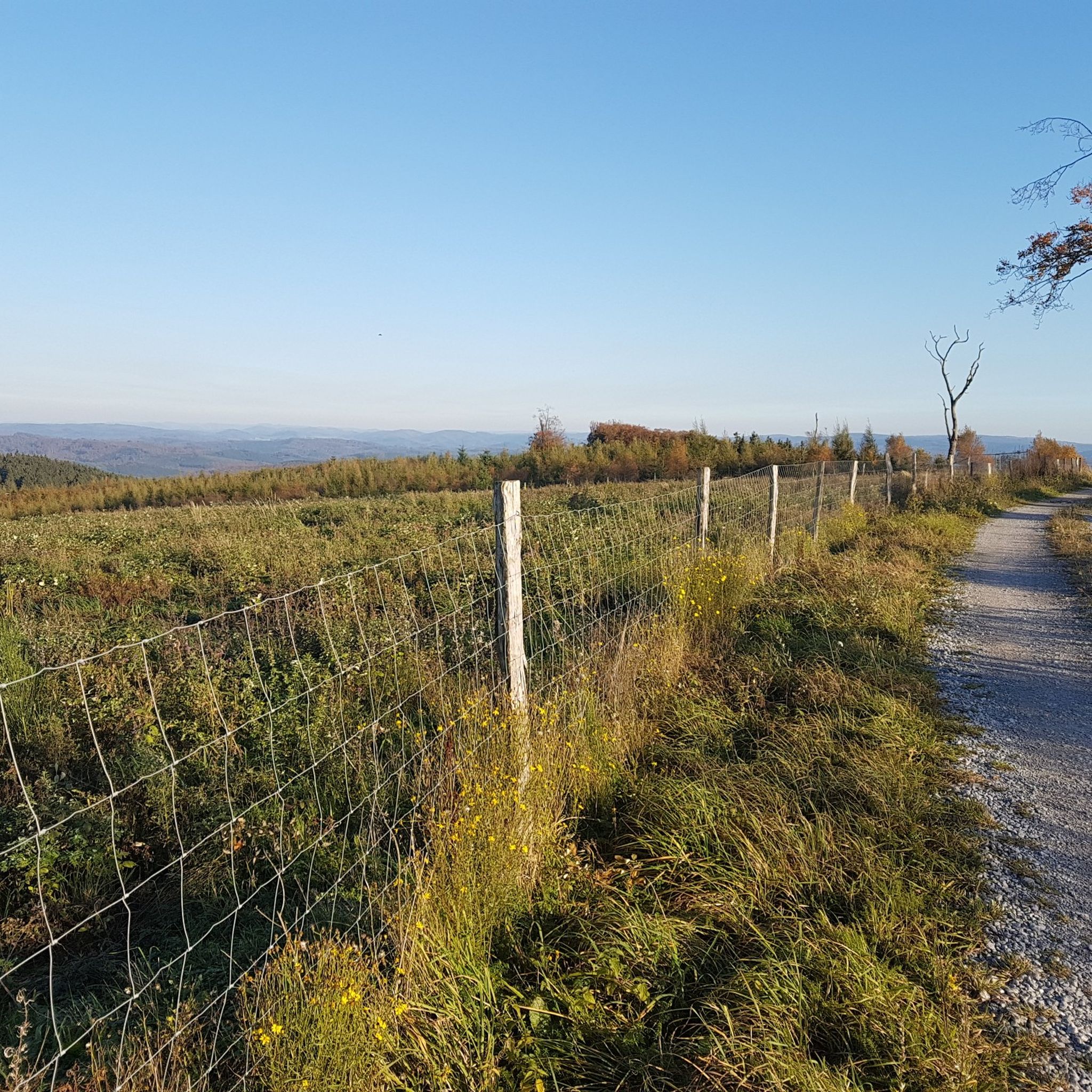
MTB Trails around Balve
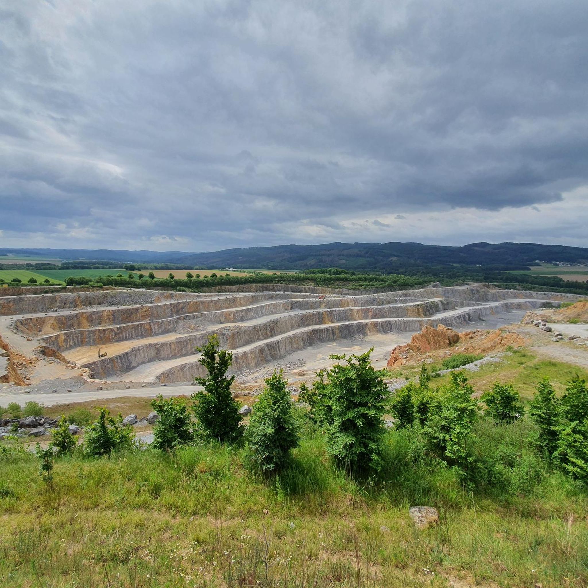
Road Cycling Routes around Balve
Running Trails around Balve
Gravel biking around Balve
Other adventures around Balve


Tips from the Community

great view, has something of a vacation
0
0

It was actually closed but I got coffee, great
0
0

The Sauerland Forest Route is divided into 16 stages of varying lengths. There are various places to stop for refreshments and here you have the opportunity to try original specialties from the Sauerland. The experience points provide variety. These include, for example, the "Forest Route Legends" located between Balve and Iserlohn, the 35-meter-high Lörmecke observation tower near Warstein in the Plackwald, the forest experience beaver path near Rüthen, the Kyrillwald on the Sorpesee and the Möhnesee tower near the body of water of the same name. Source: https://www.sauerland-travel.de/aktivitaeten/Sauerland-Ausfluege/Wandern-Sauerland-Waldroute/
1
0

Hotel and restaurant. Busy on weekends
1
0

Here you can wander into the distance
0
0

Actually a nice little trail but the first part is very overgrown and the second part has fallen victim to the bark beetle and is no longer rideable.
1
0

Beautiful country inn with a beer garden, perfect for a break. Good selection from good home cooking to coffee and cake. Very friendly service.
0
0

From the small Schomberg you have a great view of the slopes.
3
0
Frequently Asked Questions
What kind of terrain can I expect on mountaineering routes around Balve?
Mountaineering routes around Balve are characterized by low mountain ranges, dense forests, and river valleys. You'll find rolling hills and woodlands, offering varied terrain without extreme altitude. The area is part of the Naturpark Sauerland-Rothaargebirge, known for its natural beauty.
Are there easy mountaineering routes suitable for beginners in Balve?
Yes, Balve offers accessible options for beginners. An easy route is the View of the Wildewiese – View of Wildewiese loop from Müggenohl, which is 5.1 km long and provides scenic views without significant difficulty.
What is the best time of year for mountaineering in Balve?
The region's dense woodlands and moderate elevations make it suitable for mountaineering throughout much of the year. Spring and autumn offer pleasant temperatures and vibrant scenery, while summer provides longer daylight hours. Winter mountaineering is possible, but conditions may vary, and appropriate gear is essential.
Are there any circular mountaineering trails in Balve?
Yes, many routes in Balve are designed as loops, allowing you to start and end at the same point. A popular circular option is the Left Source of the Waldbach – Sauerland-Höhenflug Trail loop from Müggenohl, which is a moderate 10.6 km trail.
What are some longer or more challenging mountaineering routes in Balve?
For a more challenging moderate ascent, consider the Milky Way Trail Part I – View of Balve from Naturpark Sauerland-Rothaargebirge loop from Deilinghofen. This route covers 14.4 km and features significant elevation gain, typically taking over 4 hours to complete.
What kind of views or landmarks can I expect to see along the routes?
The routes often pass through scenic woodlands and offer views of the surrounding low mountain ranges. You might encounter various viewpoints. For broader panoramic views, consider visiting nearby observation towers like the Schomberg Tower or the Quitmann Tower on the Kohlberg.
What do other mountaineers enjoy most about the routes in Balve?
The routes in Balve are highly rated by the komoot community, with an average score of 4.0 stars. Reviewers often praise the varied forest paths, the natural beauty of the Naturpark Sauerland-Rothaargebirge, and the well-maintained trails that cater to different ability levels.
Are there any other outdoor activities or attractions near the mountaineering trails?
Yes, beyond mountaineering, the region offers other outdoor activities. For example, there are several bike parks with trails like the Jägerpfad Singletrack (Arnsberg Forest Nature Park) and the Ostenberg Trail, which might be of interest.
How many mountaineering routes are available in the Balve area?
There are several mountaineering routes available in the Balve area, offering a range of distances and difficulties to explore the region's diverse landscape.
What are the typical weather conditions for mountaineering in Balve?
Balve experiences a temperate climate. Summers are generally mild, and winters can bring snow, especially at higher elevations within the Sauerland-Rothaargebirge Nature Park. It's always advisable to check the local weather forecast before heading out and to be prepared for changing conditions, particularly in spring and autumn.
Is it possible to reach the trailheads using public transport?
While specific public transport options to every trailhead can vary, Balve is generally accessible. It's recommended to research local bus schedules or regional train connections to nearby towns and then plan your route to the desired starting point.
Most popular routes around Balve
Most popular attractions around Balve

Get inspired with the komoot mobile app


Explore more
Browse the best Mountain Hikes & Routes in other regions.
