The best gravel rides around Santana Da Serra
4.0
(2)
5
riders
3
rides
Gravel biking around Santana Da Serra offers a diverse landscape at the foothills of the Serra de Monchique, transitioning between Alentejo plains and Algarve mountains. The region is characterized by a very hilly nature, with deep valleys carved by streams and extensive river systems like the Ribeira de Santana and the Mira River. This topography provides varied terrain, including winding paths well-suited for gravel bikes, away from paved roads. The area features traditional agricultural landscapes, pine forests, and olive groves,…
Last updated: June 27, 2026
1
riders
87.1km
08:49
1,710m
1,710m
This difficult 54.1-mile gravel biking loop around the artificial lake from Santa Clara-Sabóia offers rugged Alentejo views.
5.0
(1)
2
riders
33.4km
02:15
250m
250m
Moderate gravel ride. Good fitness required. Mostly paved surfaces. Suitable for all skill levels.

Sign up for free
1
riders
35.4km
02:50
560m
560m
Hard gravel ride. Very good fitness required. You may need to push your bike for some segments of this route.
3.0
(1)
1
riders
8.93km
00:39
70m
70m
Easy gravel ride. Great for any fitness level. Mostly paved surfaces. Suitable for all skill levels.
Our route recommendations are based on thousands of hikes, rides, and runs completed by other people on komoot.
Start today with a free account
Your next adventure awaits.
Login or Signup
Tips from the Community

After the construction of the Santa Clara dam, the Mira River began to have little water as it passed through Santa Clara. In my youth, I often crossed the river over those cement blocks, with the water almost wetting my boots, and other times, it wouldn't allow crossing the river at that point; we had to go around using the bridge on the road. Different times. 😂🚲
0
0

The Castle of Cola is an Iron Age hillfort that was later reinforced as an Islamic fortress in Portugal’s Alentejo region, now classified as a National Monument. It forms the centre of the Castro da Cola archaeological park, which features Megalithic, Chalcolithic, Bronze, and Iron Age remains. The polygonal fortification, with thick walls, a towered entrance, and a rock-hewn cistern, was strategically positioned to guard a key route into the Algarve.
1
0

Cola Castle is a significant archaeological site. Classified as a National Monument, it was an ancient residence from the Iron Age. The larger Archaeological Park of Castro da Cola also includes other interesting prehistoric monuments including megalithic and chalcolithic ones and several necropolises dating back to the Bronze and Iron Ages. The defensive structure of the castro, dating back to the Iron Age, has a polygonal plan with reinforced blocks. The entrance was strategically controlled by a tower. The rest of the defensive structure was surrounded by walls, which are still visible today on the surrounding pastures and continue to protect the ancient castle.
1
0

Small ford (at normal water levels) that is easy to cross. If it is too deep and you don't want to take your shoes off, you can also cross on the posts. Fantastic gravel road.
1
0

Coming from Almodovar hills, this waters will go to Barragem (dam) of Santa Clara-a-Velha, Sabóia, crossing Odemira and finally get the Atlantic Ocean at Vila Nova de Milfontes.
2
0
The trail don’t pass through the houses but this two dogs are vigilant. Arrive as quietly as possible and after it’s downhill. Not a risky situation but it’s good to know that they are around. No rush and keep going.
2
0
So close and so far. Like an old Soviet nuclear submarine, here you are in deep water. Beware of the arbutus! If you drink, promise not to walk on the tarmac for the next 12 hours.
2
0
The best way to go to Lisbon or Faro. In Portugal it's free to transport bicycles on the InterCidades train. (The only train where you can't transport your bike is Alfa Pendular.)
2
0
Frequently Asked Questions
How many gravel bike trails are available around Santana Da Serra?
Santana Da Serra offers a selection of gravel bike trails, with over 3 routes currently available on komoot. These routes cater to various skill levels, from easy loops to more challenging climbs.
What kind of terrain can I expect when gravel biking in Santana Da Serra?
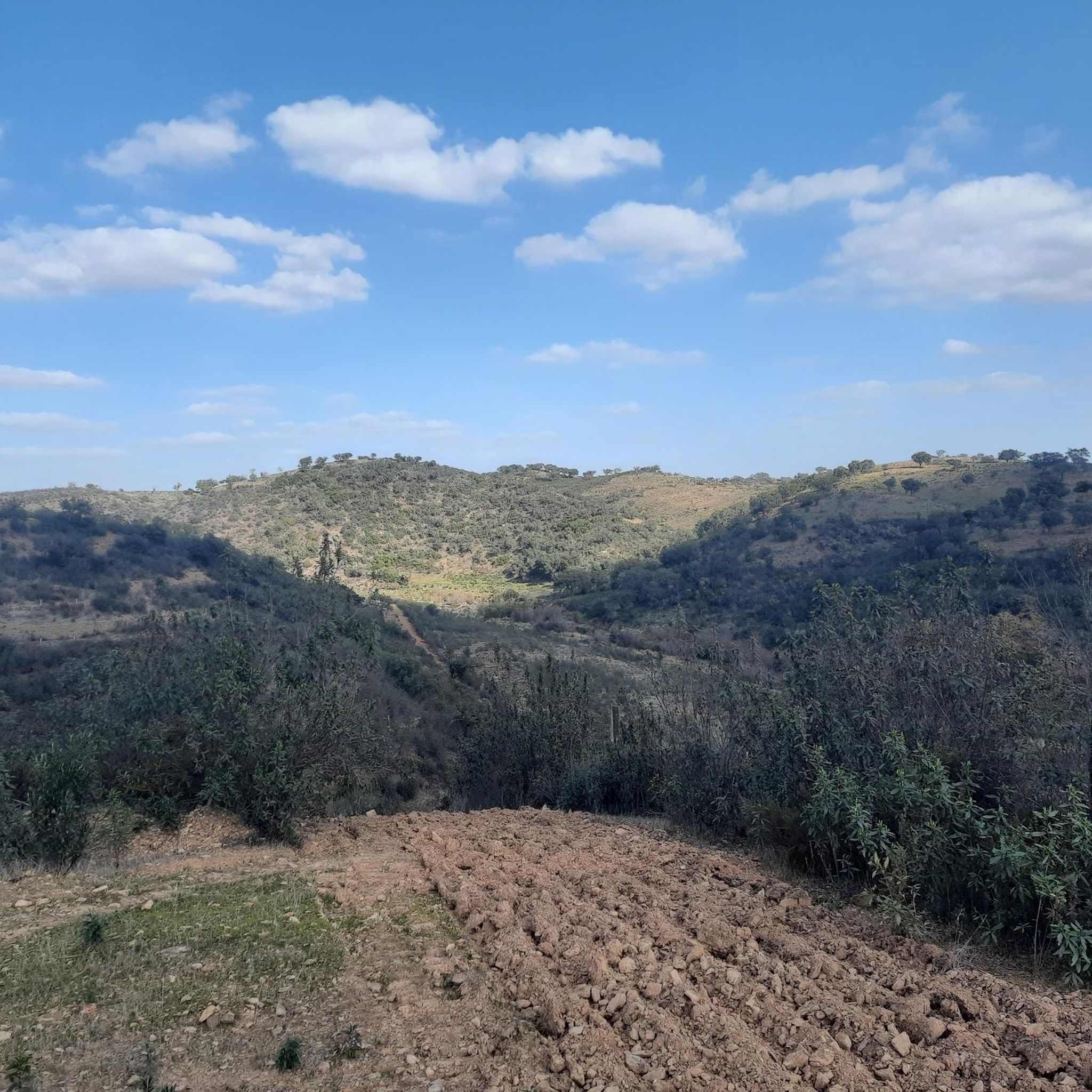
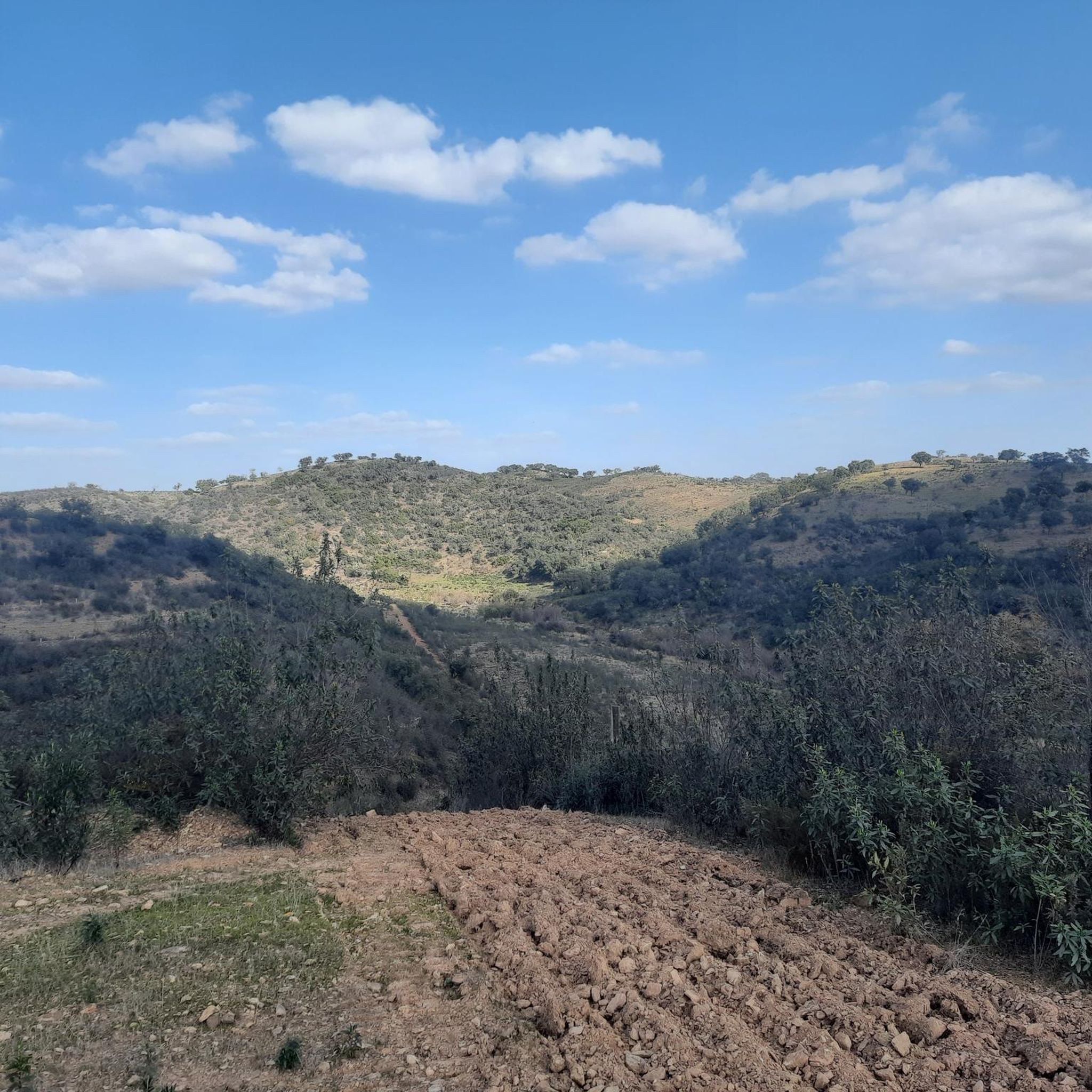
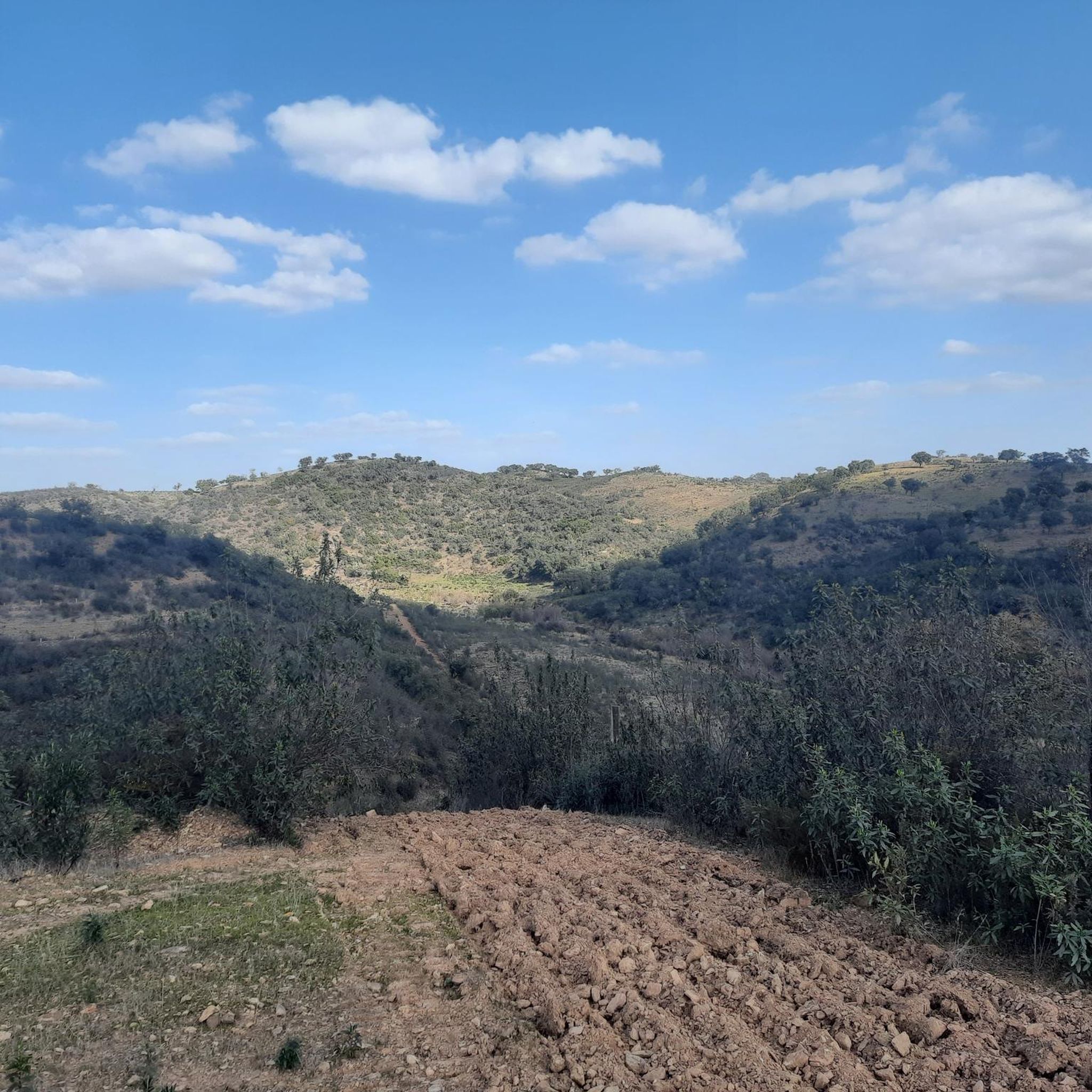
The terrain around Santana Da Serra is notably varied and hilly, situated at the foothills of the Serra de Monchique. You'll encounter deep valleys, extensive river systems like the Ribeira de Santana and the Mira River, and winding paths. The landscape transitions between Alentejo plains and Algarve mountains, featuring traditional agricultural areas, pine forests, and olive groves, providing a diverse and engaging backdrop for your rides.
What is the best time of year for gravel biking in Santana Da Serra?
The best time for gravel biking in Santana Da Serra is typically during winter, spring, or late autumn. These seasons offer milder weather and better grip on the trails. It's advisable to avoid heavy rain, as this can make stream crossings difficult and clay-based trails slippery. Be aware that in very dry conditions, some terrain can also become slippery.
Are there gravel bike routes suitable for beginners in Santana Da Serra?
Yes, there is at least one easy gravel bike route available. For a shorter, less demanding ride, consider the Big Dog loop from Residencial Marinel +18 (bordel), which is about 8.9 km long and takes less than an hour to complete, leading through local countryside.
Are there challenging gravel bike routes for experienced riders in Santana Da Serra?
Absolutely. For experienced gravel bikers seeking a challenge, there are at least two difficult routes. The Santa Clara Reservoir Loop is a demanding 87.1 km trail offering extensive views, while the Castro da Cola – Alento Ford on the Mira River loop from Castro de Cola provides another difficult option at 35.4 km.
Can I find circular gravel bike routes in the area?
Yes, many of the gravel bike routes around Santana Da Serra are designed as loops. Examples include the challenging Santa Clara Reservoir Loop, the moderate Funcheira Railway Station – Wildflower Meadow loop from Monte do Saraiva, and the easier Big Dog loop from Residencial Marinel +18 (bordel).
What natural landmarks or points of interest can I see along the gravel bike trails?
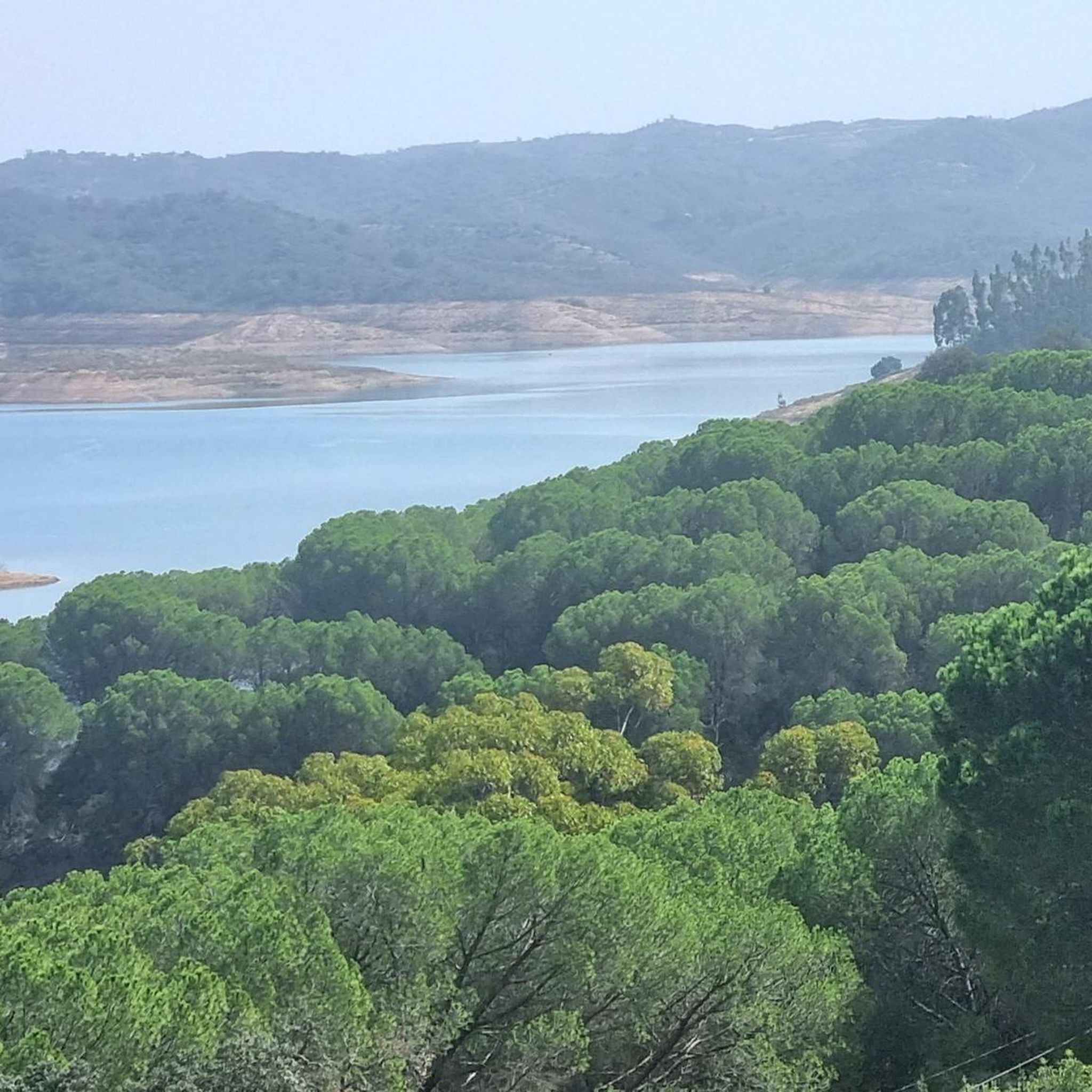
The region is rich in natural beauty. You can explore the impressive Santa Clara Dam and its surrounding reservoir, or the picturesque Odelouca Dam. The Alento River Crossing (Rio Mira) is another notable feature, offering scenic views of the Mira River system.
Are there any scenic viewpoints on the gravel bike routes?
Yes, the hilly terrain and dam surroundings provide numerous scenic viewpoints. The Santa Clara Dam itself offers expansive views, and there's a specific highlight for a View of the Santa Clara Dam and Gravel Roads. The varied landscape, from river valleys to traditional agricultural fields, ensures breathtaking panoramas throughout your rides.
Is parking available near the gravel bike trails in Santana Da Serra?
While specific parking areas for each trail are not detailed, the inland regions like Santana Da Serra are generally quiet and largely undeveloped. This often means ample opportunities for roadside parking in villages or near trailheads, especially in less populated areas. Always ensure you park responsibly and do not obstruct local access.
How can I access the gravel bike trails using public transport?
Public transport options in this rural region might be limited. However, one route, the Funcheira Railway Station – Wildflower Meadow loop from Monte do Saraiva, starts near the Santa Clara Sabóia Railway Station, suggesting potential train access to that specific starting point. For other trails, it's best to check local bus schedules or consider driving to a starting point.
What do other gravel bikers enjoy most about gravel biking in Santana Da Serra?
The komoot community highly rates the gravel biking experience in Santana Da Serra, with an average score of 4.0 stars. Riders often praise the diverse and challenging terrain, the quiet roads and trails away from traffic, and the breathtaking scenic views across the varied landscapes, including the dam surroundings and traditional agricultural fields.
Are there any family-friendly gravel bike trails in Santana Da Serra?
For families looking for an easier ride, the Big Dog loop from Residencial Marinel +18 (bordel) is a good option. It's an easy 8.9 km route through local countryside, suitable for a more relaxed outing. Always consider the fitness levels of all family members and the specific conditions of the trail before heading out.
Most popular routes around Santana Da Serra
Most popular attractions around Santana Da Serra

Get inspired with the komoot mobile app


Explore more
Browse the best Gravel rides in other regions.
