The best road cycling routes around Santana Da Serra
4.4
(7)
81
riders
5
rides
Road cycling around Santana Da Serra offers a diverse and challenging environment due to its distinctly hilly terrain. Situated between the Alentejo plains and the Algarve uplands, the region features undulating roads with significant elevation changes. Cyclists encounter deep valleys carved by streams and gullies, alongside scenic backwashes from the Santa Clara Dam and the Ribeira de Santana. This transitional landscape provides a mix of open, rolling plains and more rugged, elevated terrain, making it suitable for varied road cycling…
Last updated: July 11, 2026
5.0
(1)
9
riders
97.8km
05:42
2,360m
2,360m
Hard road ride. Very good fitness required. Mostly well-paved surfaces and easy to ride.
6
riders
97.9km
04:36
1,210m
1,210m
Hard road ride. Very good fitness required. Some segments of this route may be unpaved and difficult to ride.

Sign up for free
10
riders
67.1km
03:59
1,690m
1,690m
Hard road ride. Very good fitness required. Mostly well-paved surfaces and easy to ride.
4.3
(3)
7
riders
72.7km
03:31
970m
960m
Hard road ride. Very good fitness required. Mostly well-paved surfaces and easy to ride.
5
riders
33.4km
01:28
320m
320m
Moderate road ride. Good fitness required. Mostly well-paved surfaces and easy to ride.
Our route recommendations are based on thousands of hikes, rides, and runs completed by other people on komoot.
Start today with a free account
Your next adventure awaits.
Login or Signup
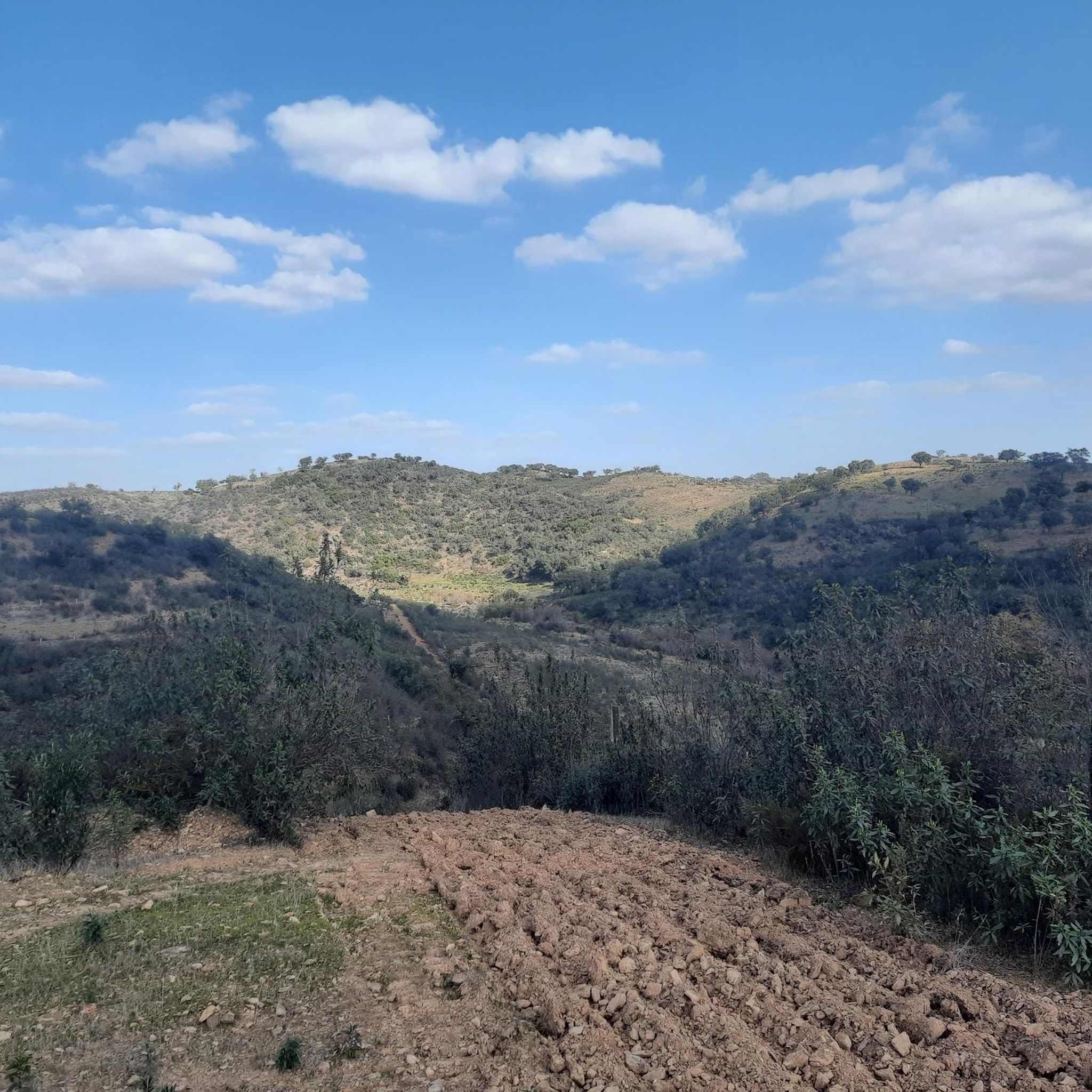
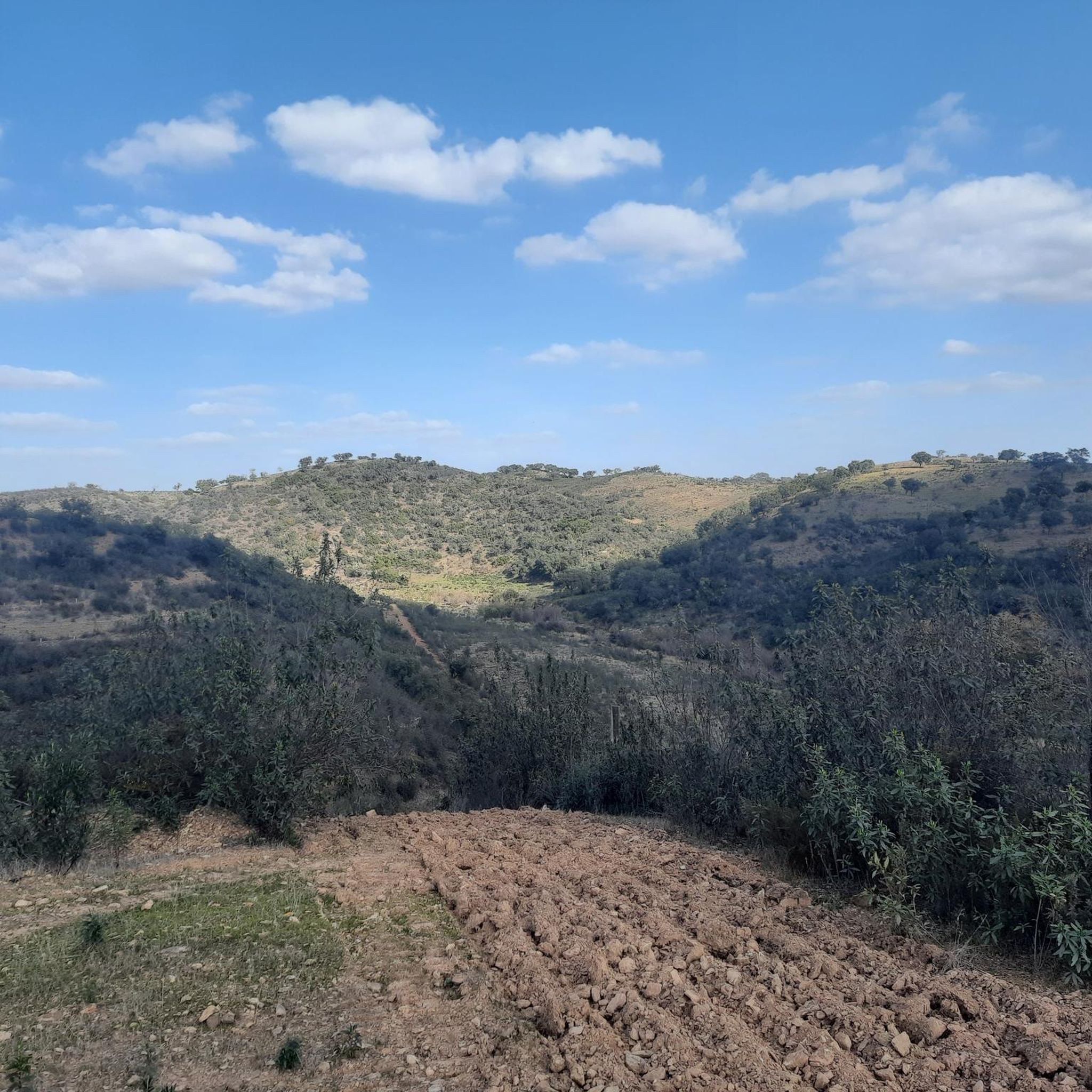
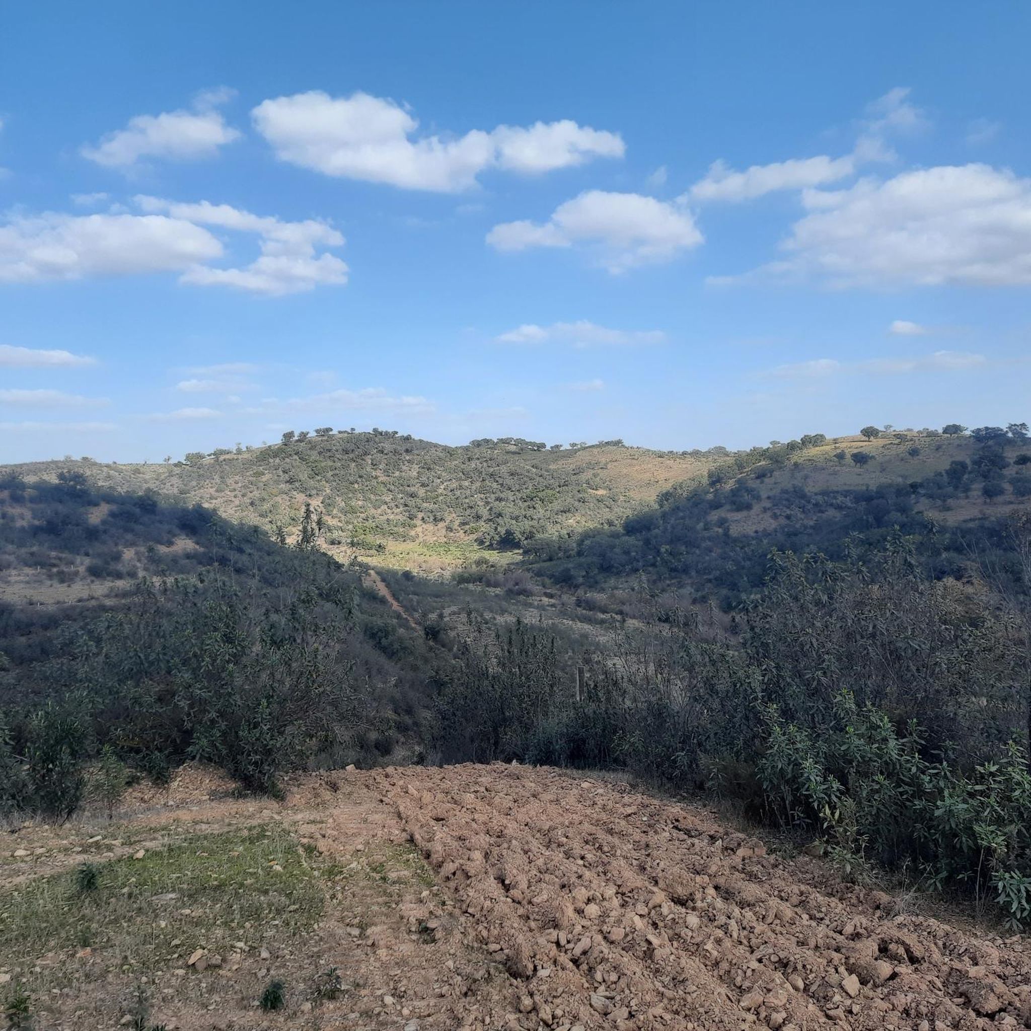
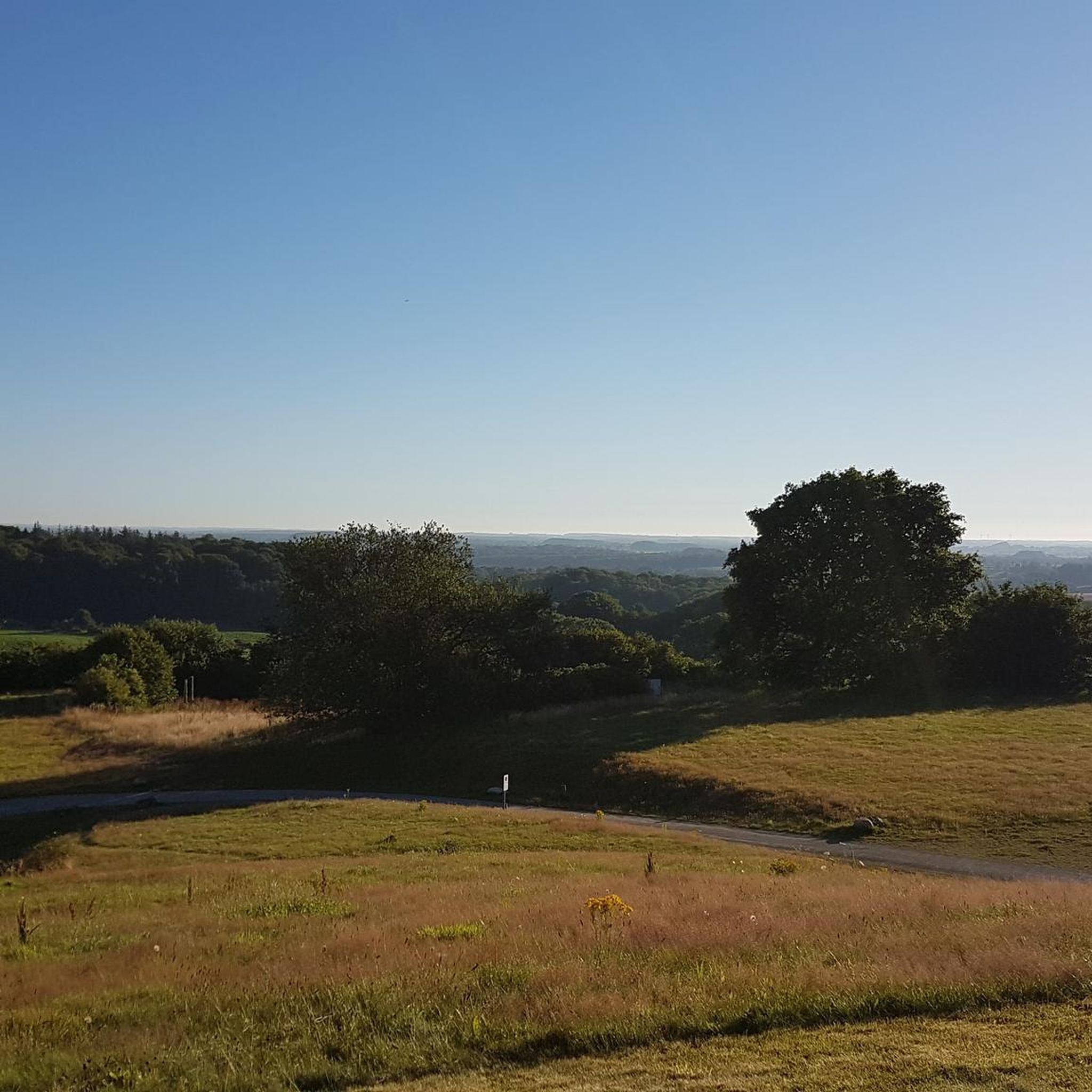
Tips from the Community

Zambujeira do Mar rises atop dramatic cliffs, with the Atlantic always on the horizon and hidden beaches below. Small and authentic, the village gains extra energy in the summer, especially in August during the Festival do Sudoeste. At the top, the Chapel of Nossa Senhora do Mar offers one of the best viewpoints on the coast, perfect for a break with a view. Between descents to the sea and trails along the cliffs, this is one of those places where every kilometer tastes like freedom.
2
0

We had really thick fog here, but it was still lovely. The funny cyclist figure, well... 8-)
0
0

São Teotónio is a parish (and town) in the municipality of Odemira, in the district of Beja, Alentejo, Portugal, known for its rich landscape, popular festivities, and for being part of the Southwest Alentejo and Vicentine Coast Natural Park, encompassing coastal towns such as Zambujeira do Mar. Location and Context: Municipality: Odemira (the largest municipality in Portugal). District: Beja. Region: Alentejo. Main Characteristics: Landscape: Varies from fields and mountains to stunning beaches, with cliffs and sandy areas. Events: Famous for its popular saints' festivals and FACECO (Fair of Cultural and Economic Activities of the Municipality of Odemira). Included Localities: Covers several localities such as Zambujeira do Mar, Azenha do Mar, Brejão, Cavaleiro, among others. Economy: Strong links to agriculture, fishing, tourism and handicrafts.
0
0
At the top of the Monchique mountain range rises Foia, the highest point in the Algarve, at 902 meters altitude. Its antennas mark the summit where the sky seems closest and, on clear days, the view reaches the Atlantic. Up here, the wind blows freely and the view is simply unforgettable.
2
0

The summit is worth it - unfortunately, the biker on the pedestal is no longer there.
1
0

There was a bit of a chilly wind at the summit!! (50-60km/h) Plan your clothes accordingly. A bronze statue in honor of the Belgian professional cyclist, Evenepoel, winner of the last Tour of the Algavre 2022, should soon be enthroned again at the summit!!! Attention "selfie" lovers! 😉
0
0

The Castle of Cola is an Iron Age hillfort that was later reinforced as an Islamic fortress in Portugal’s Alentejo region, now classified as a National Monument. It forms the centre of the Castro da Cola archaeological park, which features Megalithic, Chalcolithic, Bronze, and Iron Age remains. The polygonal fortification, with thick walls, a towered entrance, and a rock-hewn cistern, was strategically positioned to guard a key route into the Algarve.
1
0

Cola Castle is a significant archaeological site. Classified as a National Monument, it was an ancient residence from the Iron Age. The larger Archaeological Park of Castro da Cola also includes other interesting prehistoric monuments including megalithic and chalcolithic ones and several necropolises dating back to the Bronze and Iron Ages. The defensive structure of the castro, dating back to the Iron Age, has a polygonal plan with reinforced blocks. The entrance was strategically controlled by a tower. The rest of the defensive structure was surrounded by walls, which are still visible today on the surrounding pastures and continue to protect the ancient castle.
1
0
Frequently Asked Questions
How many road cycling routes are available around Santana Da Serra?
Santana Da Serra offers a selection of 6 road cycling routes, catering to various preferences. The majority of these routes, 5 out of 6, are classified as difficult, providing a significant challenge for experienced cyclists. There is also 1 moderate route available.
What is the best time of year for road cycling in Santana Da Serra?
The region's climate is generally favorable for cycling, but the transitional landscape between the Alentejo plains and Algarve uplands means weather can vary. Spring and autumn typically offer the most pleasant temperatures for road cycling, avoiding the intense heat of summer and potential cooler, wetter conditions in winter. Always check local forecasts before heading out.
What kind of landscapes can I expect to see while road cycling in Santana Da Serra?
Road cycling in Santana Da Serra offers a dynamic mix of landscapes. You'll encounter distinctly hilly terrain with undulating roads, deep valleys carved by streams, and scenic backwashes from the Santa Clara Dam. The routes traverse traditional agricultural areas, including cereal fields, and natural scenery abundant with rock-rose, providing picturesque views and a sense of immersion in nature.
Are there any road cycling routes suitable for beginners in Santana Da Serra?
While most routes in Santana Da Serra are classified as difficult, there is one moderate road cycling route available: Roadbike loop from São Marcos da Serra. This 33.4 km route with 324 meters of elevation gain offers a less strenuous option for those looking for a more accessible ride.
What natural attractions can I see along road cycling routes in Santana Da Serra?
Many routes offer views of significant water features. You can cycle past the impressive Santa Clara Dam, known for its immense lake and breathtaking views. Other notable water bodies include the Odelouca Dam and the Alento River Crossing (Rio Mira), adding to the scenic beauty of the rides.
Are there any cultural landmarks to visit while cycling in Santana Da Serra?
Yes, cyclists can incorporate cultural stops into their rides. The Parish Church of São Marcos da Serra, with its distinctive 17th-century Algarve chimney, is a notable architectural landmark. You might also encounter historical windmills and the Santana Serra Church, adding points of interest to your journey.
What do other road cyclists say about their experience in Santana Da Serra?
The road cycling routes in Santana Da Serra are highly rated by the komoot community, with an average score of 4.4 stars from over 7 reviews. Cyclists often praise the challenging hilly terrain, the diverse landscapes transitioning between plains and uplands, and the immersive natural scenery.
Are there any circular road cycling routes in Santana Da Serra?
Yes, several routes in the area are designed as loops. For example, the challenging Monchique Town Center – Foia Summit loop from São Marcos da Serra and the Sao Teotonio – Beautiful route loop from Pereiras-Gare are popular circular options that allow you to start and finish in the same location.
Where can I find parking for road cycling routes in Santana Da Serra?
While specific parking areas aren't always signposted for individual routes, many road cycling tours in the region start from towns or villages like São Marcos da Serra or Pereiras-Gare. These locations typically offer public parking options where you can safely leave your vehicle before beginning your ride.
What is the longest road cycling route in Santana Da Serra?
The longest road cycling route in the area is the Monchique Town Center – Foia Summit loop from São Marcos da Serra, which spans 99.5 km (61.8 miles) and features substantial elevation gain towards the Foia Summit.
Are there any routes that pass by the Santa Clara Dam?
Yes, the Castro da Cola – Santa Clara Dam loop from Castro de Cola is a 72.7 km route that specifically takes you past the Santa Clara Dam, offering stunning views of the reservoir and surrounding landscape.
What is the elevation gain like on road cycling routes in Santana Da Serra?
Road cycling in Santana Da Serra is characterized by significant elevation changes due to its hilly terrain. For instance, the Monchique Town Center – Foia Summit loop from São Marcos da Serra involves over 2300 meters of ascent, providing a challenging workout for cyclists.
Most popular routes around Santana Da Serra
Most popular attractions around Santana Da Serra

Get inspired with the komoot mobile app


Explore more
Browse the best Road cycling routes in other regions.
