The best MTB trails around A Mezquita
3.0
(2)
56
riders
5
rides
Mountain bike trails around A Mezquita Ourense are set within a region characterized by rugged topography, true mountain ranges, and fractured peneplains, forming part of the Sierra Segundera within the Galician Massif. The area features valleys abundant with extensive chestnut trees, offering varied terrain for cycling. A key geographical highlight is the Portilla de la Canda, a mountain pass at 1260 meters above sea level, providing elevated routes and views. This diverse landscape, including historical routes like the Sanabrés Way of St. James, makes A Mezquita a compelling destination for mountain biking.
Best mountain bike trails around A Mezquita
- The most popular mountain bike trail is Vinhais MTB Center Red Route 3, a 30.2 miles (48.7 km) trail that takes 4 hours 47 minutes to complete. This difficult route traverses varied mountain terrain, ideal for experienced riders.
- Another top favourite among local mountain bikers is Sierra de Cárdena and Lubián Loop, a difficult 50.3 miles (80.9 km) path. This route offers expansive views across mountain ranges and passes through areas with historical significance.
- Local mountain bikers also love the Sanctuary of La Tuiza – Lubián Village loop from Lubián, a 51.3 miles (82.5 km) trail leading through the vicinity of the Sanctuary of La Tuiza and Lubián Village, often completed in about 7 hours 40 minutes.
- Mountain biking around A Mezquita is defined by its mountain ranges, chestnut valleys, and historic routes. The network offers options for challenging rides across its diverse terrain.
- The routes in A Mezquita are highly rated by the komoot community with an average score of 3.0 stars from 2 reviews. More than 50 mountain bikers have used komoot to explore A Mezquita's varied terrain.
Last updated: June 30, 2026
5.0
(1)
2
riders
48.7km
04:48
1,120m
1,130m
Hard mountain bike ride. Very good fitness required. Suitable for all skill levels.
80.9km
09:21
2,000m
2,000m
Hard mountain bike ride. Very good fitness required. Advanced riding skills necessary. Some portions of the route may require you to push your bike.

Sign up for free
1.0
(1)
45
riders
82.5km
07:40
1,860m
1,860m
Hard mountain bike ride. Very good fitness required. Advanced riding skills necessary.
5
riders
74.0km
07:56
1,550m
1,550m
Hard mountain bike ride. Very good fitness required. Advanced riding skills necessary. Some portions of the route may require you to push your bike.
4
riders
52.9km
05:08
1,040m
1,040m
Hard mountain bike ride. Very good fitness required. Suitable for all skill levels.
Our route recommendations are based on thousands of hikes, rides, and runs completed by other people on komoot.
Start today with a free account
Your next adventure awaits.
Login or Signup
Popular around A Mezquita

Tips from the Community

Here begins an uphill section through forests
0
1

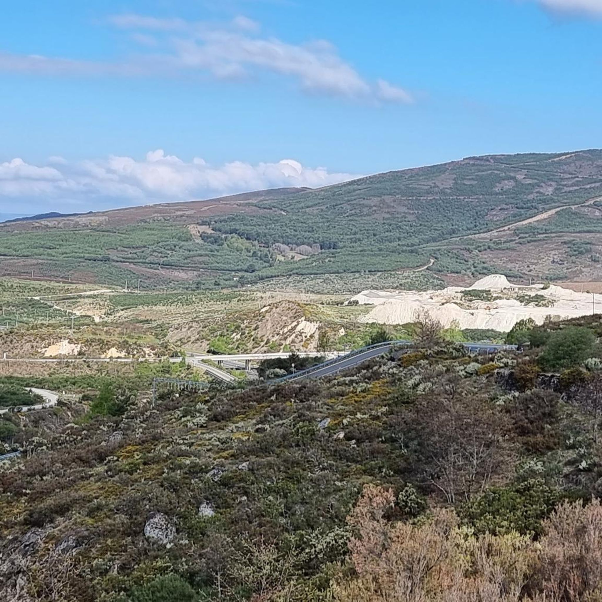
The Portela da Canda Pass, also known as the Canda Pass or simply A Canda, is a mountain pass of great geographical, historical, and cultural value that connects Galicia (province of Ourense) with Castile and León (province of Zamora). Located in the Sierra Segundera mountain range, within the Galician Massif, it has traditionally been a crossing point for travelers, merchants, and pilgrims. It forms part of the Sanabrés Way of St. James, an extension of the Silver Route (Vía de la Plata), and is the entry point into Galicia for pilgrims coming from the south. The surrounding area features Jacobean sculptures and wayside crosses (cruceiros) that guide the route, the work of the artist Nicanor Carballo.
5
0

Moimenta is a small village with small stone houses. It is located in the Montesinho Natural Park, a sparsely populated area with panoramic views of the Gamoneda mountains in Spain and the Tuela River valley.
0
0
Amid the arid and gentle mountains of the hinterland, this wide road crosses the border between Spain and Portugal.
0
0
The Vinhais Biological Park is a protected natural area and conservation center located in the municipality of Vinhais, in northern Portugal, within the Montesinho Natural Park. This park plays an important role in the conservation of local biodiversity and in the promotion of environmental education.
0
0

Located in the heart of the Montesinho Natural Park, the Vinhais Biological Park invites you to discover the local landscape in all its forms, from fauna and flora to geology, culture and history. A space dedicated to conservation, biodiversity and ecotourism.
1
0

The Biologic Park of Vinhais is a public facility installed by the Municipality of Vinhais, in the heart of the Montesinho Natural Park, more precisely in the old forest nursery of Vidoeira, in Prada, in the parish of Vila Verde, just 3 km from the village of Vinhais. The project of the Biologic Park of Vinhais was a pioneer with regard to the Trás-Os-Montes region, it was inaugurated on May 16th of 2008, and its main objectives are: Divulge of the Nature and Landscape of the Montesinho Natural Park; Environmental Education; Conservation of Nature and Biodiversity; Ecotourism
1
0
The Vinhais Biological Park is a public facility installed by the Vinhais Municipal Council, in the heart of the Montesinho Natural Park. Its purpose is to interpret the region's landscape in its natural (fauna, flora and geology), cultural and historical components; to conserve nature, promote biodiversity and ecotourism.
3
0
Frequently Asked Questions
How many mountain bike trails are available in A Mezquita?
There are currently 5 mountain bike trails available in A Mezquita on komoot, all rated as difficult. These routes traverse rugged topography, true mountain ranges, and fractured peneplains, offering challenging rides for experienced cyclists.
What kind of terrain can I expect on mountain bike trails in A Mezquita?
The terrain in A Mezquita is characterized by rugged topography, true mountain ranges, and fractured peneplains, forming part of the Sierra Segundera within the Galician Massif. You'll encounter varied landscapes, including valleys abundant with extensive chestnut trees and elevated routes offering great views, such as those near the Portilla de la Canda.
Are there any family-friendly mountain bike trails in A Mezquita?
The mountain bike trails currently listed in A Mezquita are all rated as difficult, making them more suitable for experienced riders. The challenging terrain and significant elevation changes may not be ideal for families with young children or beginner cyclists.
Can I bring my dog on the mountain bike trails in A Mezquita?
While the region's natural environment is generally welcoming, specific regulations for dogs on mountain bike trails can vary. It's always best to check local signage or official park guidelines for any restrictions before heading out with your dog.
What are some notable natural features or viewpoints I might encounter on the trails?
You can expect to see extensive chestnut trees in the valleys and experience significant mountain views, particularly from elevated points like the Portilla de la Canda. The region's high-mountain oceanic climate also contributes to a rich natural environment. For specific viewpoints, consider routes that pass near Alto da Canda (Camino de Santiago) or Portela da Canda Pass.
Are there any circular mountain bike routes in A Mezquita?
Yes, many of the trails in A Mezquita are designed as loops. For example, the Sierra de Cárdena and Lubián Loop and the Sanctuary of La Tuiza – Lubián Village loop from Lubián are both circular routes, allowing you to start and finish in the same location.
What historical or cultural sites can I explore while mountain biking in A Mezquita?
A Mezquita is part of the historic Sanabrés Way of St. James, an extension of the Vía de la Plata pilgrimage route. You can encounter Jacobean sculptures and wayside crosses along these paths. Notable sites include the Sanctuary of La Tuiza, located near a river with a fluvial beach, and Lubián Village, known for its traditional stone and wood houses. The Sanctuary of La Tuiza – Lubián Village loop from Lubián passes through these areas.
What is the best time of year for mountain biking in A Mezquita?
A Mezquita is known as 'Terra das Frieiras' due to its characteristically low average temperatures and significant precipitation. While specific recommendations depend on personal preference, spring and autumn generally offer more moderate weather conditions. Summers can be warm, and winters bring cold temperatures and precipitation, which might make some trails more challenging.
Are there places to eat or stay near the mountain bike trails?
The region includes small mountain villages like Lubián Village, which may offer local amenities. While specific cafes or accommodations directly on the trails are not detailed, these villages are good points to look for services. The Lubián Village – Sanctuary of La Tuiza loop from Las Cortinas passes through such areas.
What do other mountain bikers enjoy most about mountain biking in A Mezquita?
The mountain bike routes in A Mezquita are highly rated by the komoot community, with an average score of 3.0 stars. Over 50 mountain bikers have used komoot to explore the varied terrain, often praising the challenging rides across its diverse mountain ranges, chestnut valleys, and historic routes.
Is there parking available at the trailheads in A Mezquita?
While specific parking locations for each trailhead are not detailed, mountain villages like Lubián, which serve as starting points for several routes, typically offer parking options. It's advisable to check maps or local information for designated parking areas before your ride.
Are there any lakes or water features along the mountain bike routes?
Yes, the region features diverse natural elements. The Sanctuary of La Tuiza is located near a river with a fluvial beach area. Additionally, Albufeira de Prada is described as a very beautiful lake, offering a serene setting that could be a picturesque stop during a ride.
Most popular routes around A Mezquita
Most popular attractions around A Mezquita

Get inspired with the komoot mobile app


Explore more
Browse the best MTB trails in other regions.
