The best mountain hikes around Barbadillo De Herreros
15
hikers
3
hikes
Mountaineering routes around Barbadillo De Herreros are found within the Sierra de la Demanda, a mountain range offering rugged and varied terrain. The region is characterized by high peaks, dense pine forests, and rivers like the Pedroso and Umbría. Mountaineers can ascend Pico San Millán, the highest peak in Burgos at 2,131 meters, providing a challenging experience.
Best mountaineering routes around Barbadillo De Herreros
- The most popular mountaineering route is San Millán (2,131 m) – Zarcia Recreation Area loop from…
Last updated: June 30, 2026
10
hikers
14.6km
06:20
1,110m
1,110m
Hard mountaineering route. Very good fitness required. Mostly accessible paths. Sure-footedness required.
3
hikers
6.14km
02:34
480m
480m
Moderate mountaineering route. Good fitness required. Easily-accessible paths. Suitable for all skill levels.

Sign up for free
1
hikers
Moderate mountaineering route. Good fitness required. Easily-accessible paths. Suitable for all skill levels.
1
hikers
9.98km
03:57
720m
730m
Moderate mountaineering route. Good fitness required. Easily-accessible paths. Suitable for all skill levels.
Our route recommendations are based on thousands of hikes, rides, and runs completed by other people on komoot.
Start today with a free account
Your next adventure awaits.
Login or Signup
Popular around Barbadillo De Herreros
Discover the unknown Burgos - Dos Aguas Trail (GR 290)
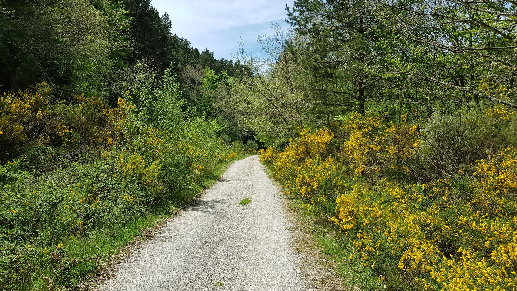
A journey into the past - Vía Verde de la Sierra de la Demanda
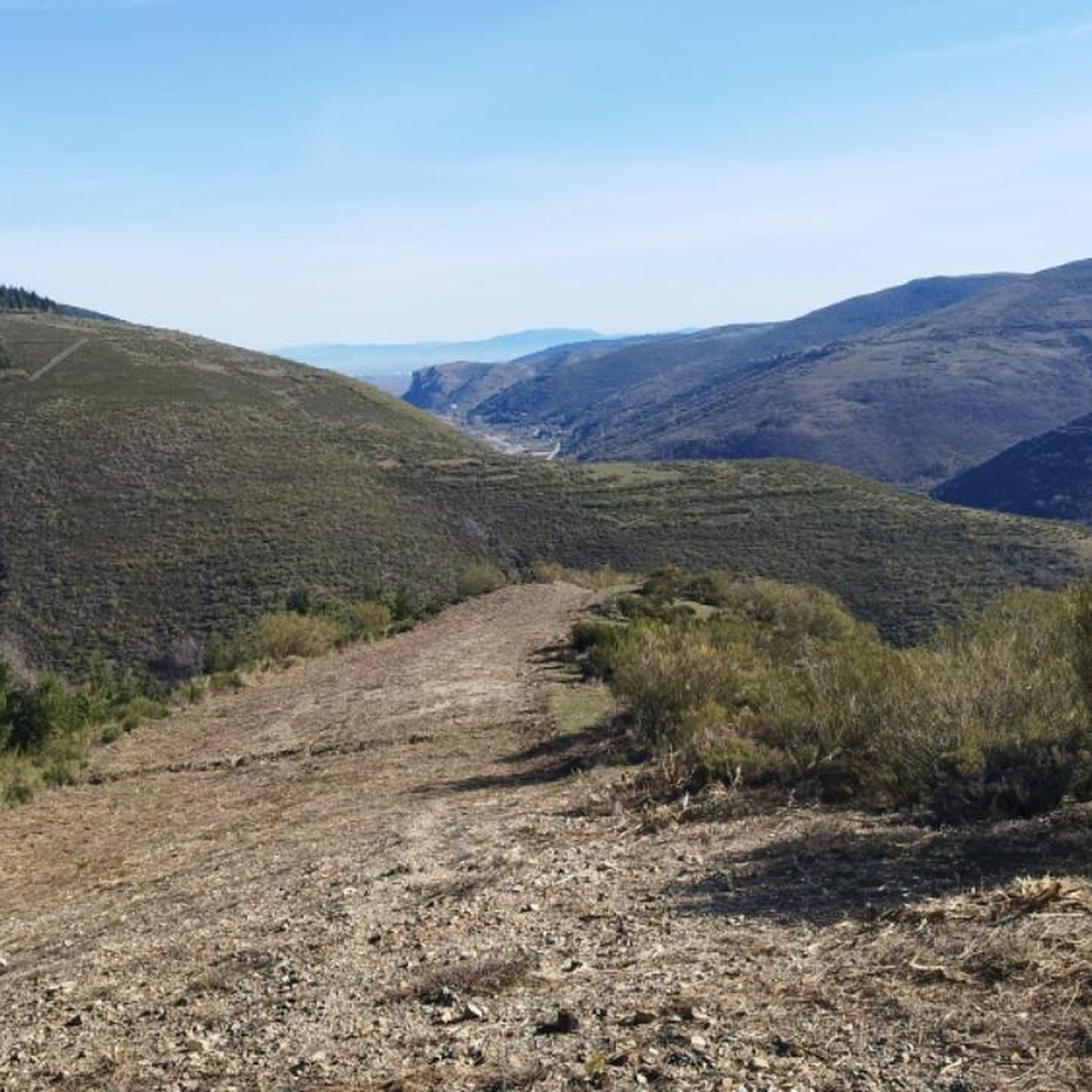
Hiking around Barbadillo De Herreros
MTB Trails around Barbadillo De Herreros
Running Trails around Barbadillo De Herreros
Cycling around Barbadillo De Herreros
Road Cycling Routes around Barbadillo De Herreros
Other adventures around Barbadillo De Herreros


Tips from the Community

Spectacular area for hiking routes
0
0
a highly recommended area for hiking.
0
0

There are many routes, both easy and difficult, to choose from. The Sierra is very beautiful, especially in autumn.
0
0

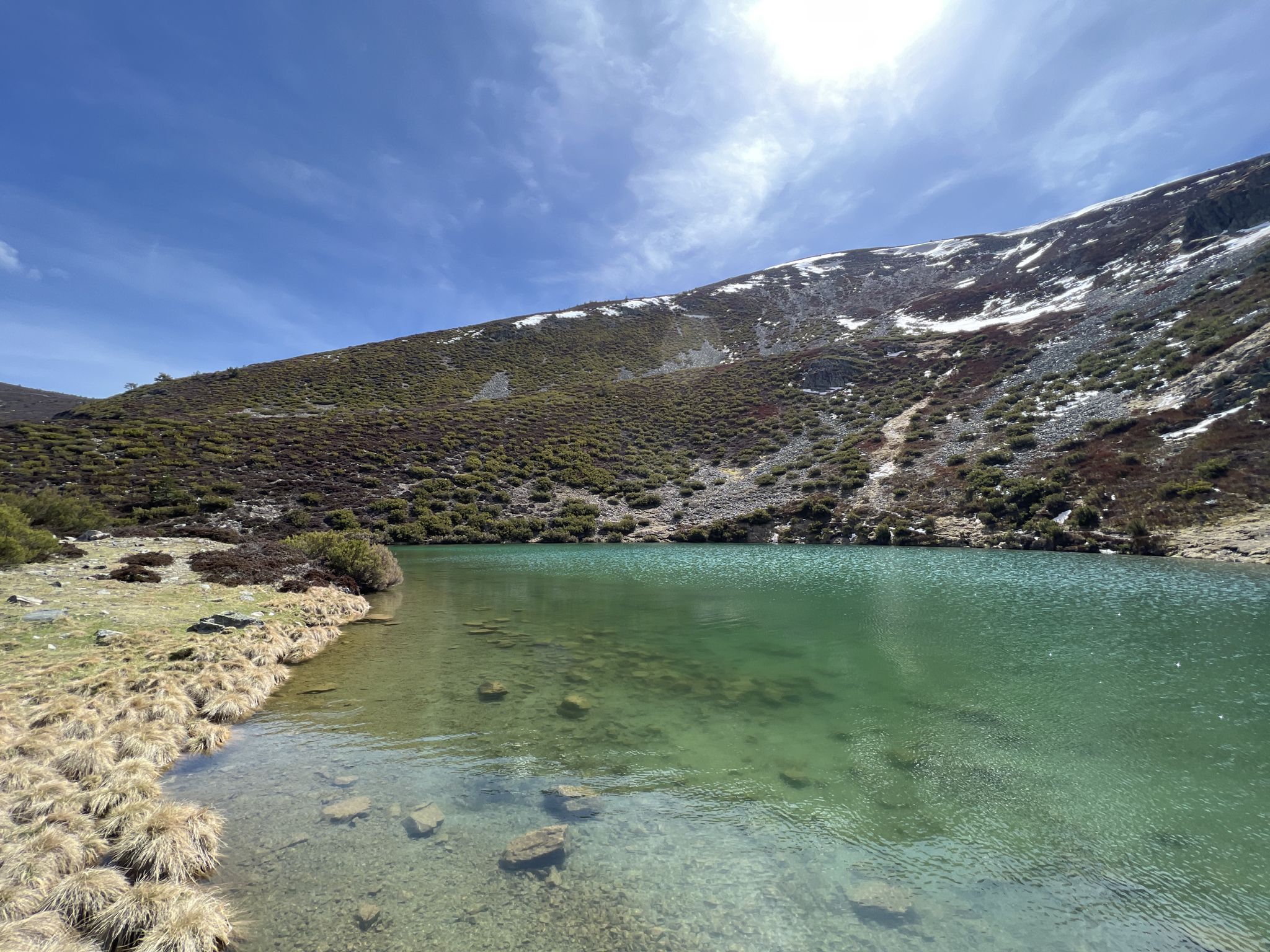
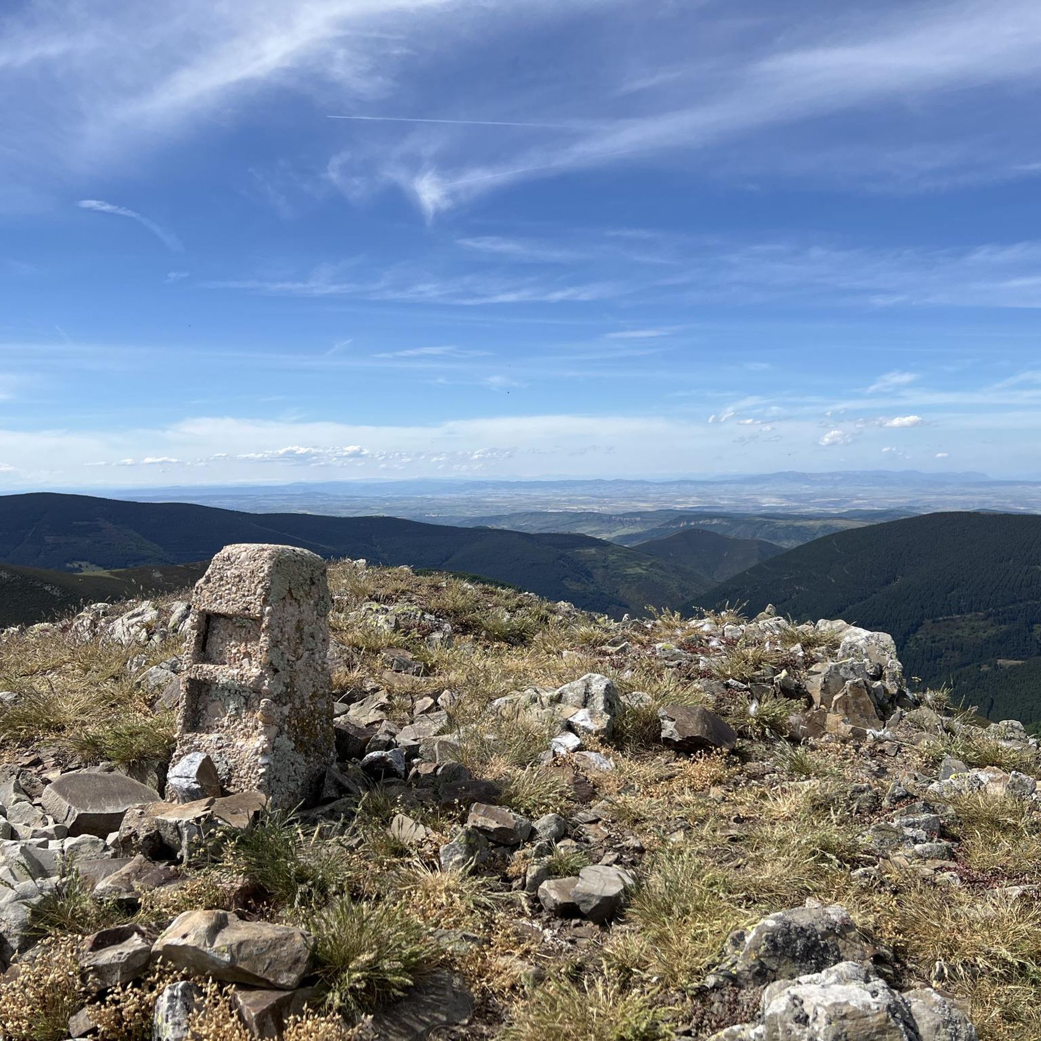
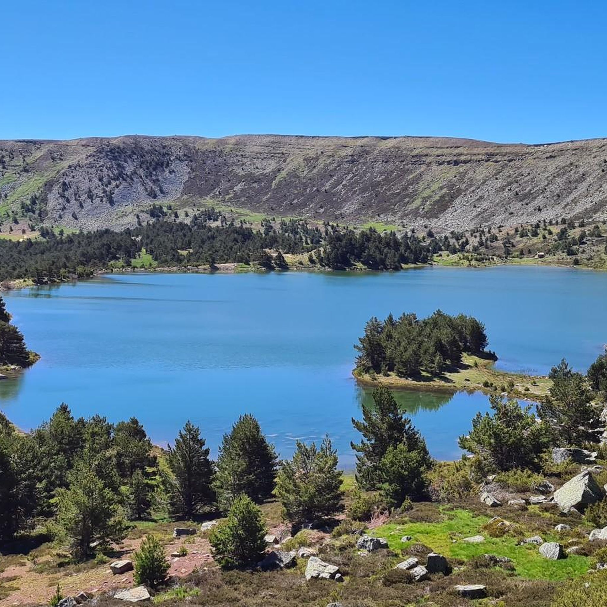
The path leaves El Portillo on the east side, goes up a few meters along a channel and enters the north side. If the mountain has snow, this section is dangerous because the cold and shady conditions keep the path icy and the fall is fatal; crampons and ice axes would be essential. The alternative is to climb directly along the channel on the east face, with less slope, sunnier and direct to the summit of San Millán (2,131 m), also called El Torruco. At the top there is a small circular stone tower adorned with a metal house and other festival motifs left by mountaineers. The southern slope of the mountain is a large mass of gentle slopes with no remains of glacial activity towards the valley of the Arlanzón River. The descent continues along the west face, enjoying extraordinary views of the Urbión River valley and the glacial cirque where the San Millán lagoon appears half frozen.
0
0
The Zarcia Recreational Zone is 2.8 kilometers from Santa Cruz del Valle Urbión along a dirt track suitable for cars, there are some potholes but with care they do not present problems. At the entrance to the picnic areas there is room for three or four cars and 150 meters before arriving there is space for many more. The route begins along the main path of the Urbión River valley, passes through a detour and after one kilometer the Altuzarra waterfalls path appears on the right, which is the return route. The path does not present orientation complications, it follows the course of the water to the head of the valley. In several sections you have to cross the riverbed or walk along the small islands that the torrent forms when there is a lot of flow, always among beech trees, holly trees, yew trees and the riverside scrub that seeks the humidity and wild environment of the glacial valley. Some reference points are the Refugio de Laguarra cabin and shortly after the crossroads where the Mirador de Domingo Sevilla trail leaves on the right, which is also a shortcut to get directly to the Altuzarra waterfalls without passing through the summit of the mountain. . On the opposite bank of the ravine is the “most famous beech tree in Burgos”, as indicated by a sign stuck on a stone near the monumental tree.
0
0

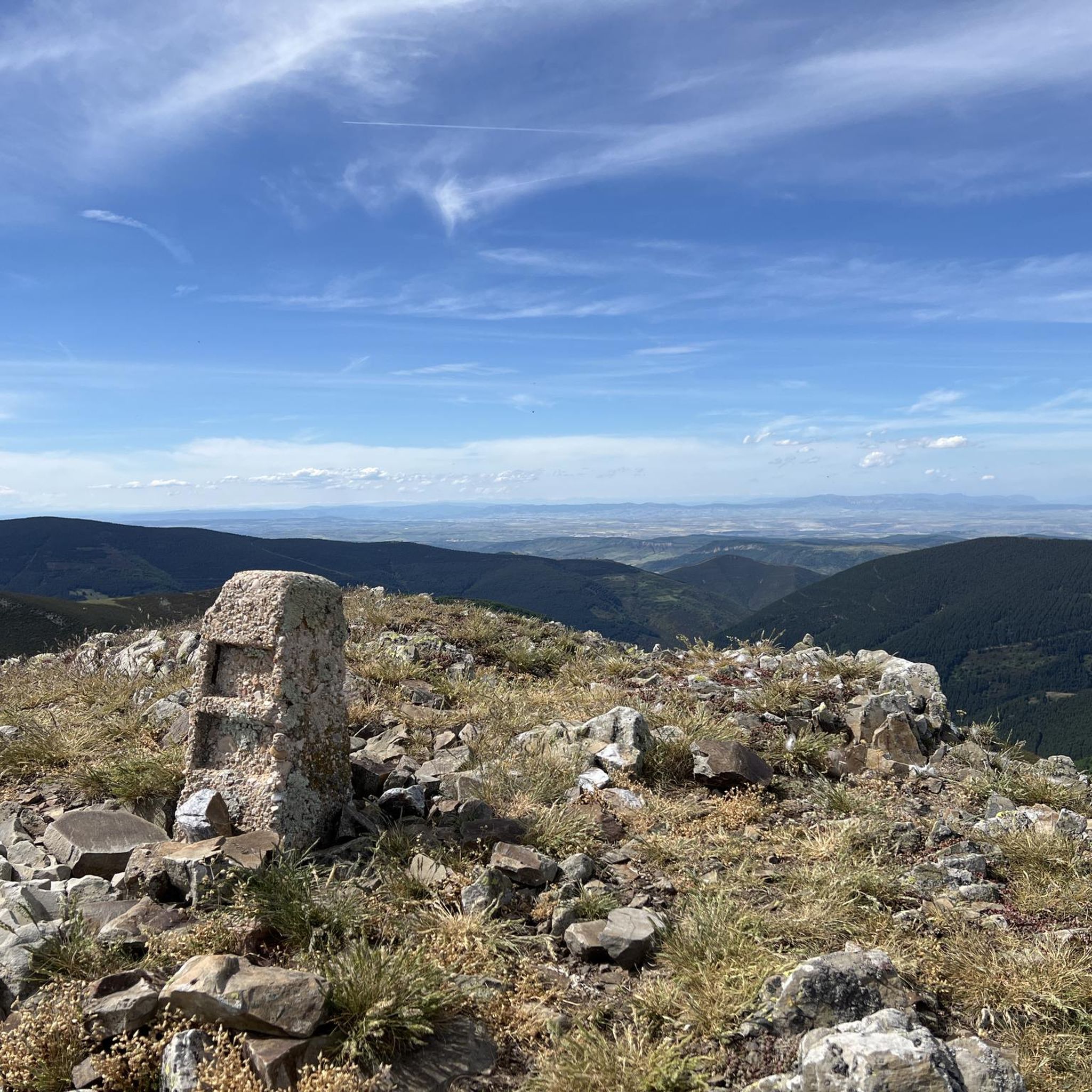
From the top of Pico Mencilla, you can see Pico Trigaza and San Millan
1
0

Small mountain village. Picturesque. There is a nice café here for a break. There aren't really many cafes here. So you should stop by.
2
0
Really a nice photo opportunity. In the village is a nice little café ideal for a break.
2
0
Frequently Asked Questions
How many mountaineering routes are available around Barbadillo De Herreros?
There are 4 distinct mountaineering routes featured on komoot around Barbadillo De Herreros. These routes offer a variety of experiences within the rugged terrain of the Sierra de la Demanda.
What is the best time of year for mountaineering in Barbadillo De Herreros?
The Sierra de la Demanda, where Barbadillo De Herreros is located, offers diverse conditions. While specific recommendations depend on the route and your experience, generally, spring and autumn provide pleasant temperatures and stable weather for mountaineering. Winter can bring snow, especially on higher peaks like Pico San Millán, offering a different, more challenging experience for those prepared for it.
Are there any circular mountaineering routes in the area?
Yes, many of the mountaineering routes around Barbadillo De Herreros are circular. For instance, you can explore the San Millán (2,131 m) – Zarcia Recreation Area loop, which is a challenging ascent, or the more moderate Campo de los Corros – Mencilla loop from Valle del Sol.
What are the difficulty levels of the mountaineering routes?
The routes around Barbadillo De Herreros cater to various skill levels. You'll find challenging ascents like the San Millán (2,131 m) – Zarcia Recreation Area loop, which is rated difficult. There are also several moderate options, such as the Campo de los Corros – Cabeza Plantizo loop from Pineda de la Sierra, providing scenic journeys through the mountains.
What natural features or landmarks can I expect to see on these routes?
Mountaineering in this region will immerse you in the Sierra de la Demanda's natural beauty. You'll encounter dense pine forests, rivers like the Pedroso and Umbría, and rugged mountain terrain. Highlights include the ascent to Pico San Millán (2,131 m), the highest peak in Burgos, and scenic passes like Puerto del Manquillo.
Are there any other interesting places to explore near Barbadillo De Herreros?
Beyond the mountaineering routes, the area offers several attractions. You can visit the charming village of Pineda de la Sierra, or explore the unique Route of the 7 Bridges of Azárrulla, which follows the Usaya stream. The Santa Icilia recreational area by the Umbría River also features natural pools for a refreshing dip.
Are there family-friendly mountaineering options?
While many mountaineering routes can be demanding, some moderate loops might be suitable for families with older children who are accustomed to hiking. The Campo de los Corros – Mencilla loop from Valle del Sol is a moderate option that could be considered, but always check the specific route details and elevation gain to ensure it matches your family's fitness level.
Can I bring my dog on these mountaineering trails?
Generally, dogs are welcome on many trails in the Sierra de la Demanda, but it's always advisable to check local regulations for specific routes or protected areas. Ensure your dog is well-behaved, kept on a leash where required, and that you carry out all waste. Some routes, especially those with challenging terrain or wildlife, might not be suitable for all dogs.
Where can I find parking for the mountaineering trailheads?
Parking is typically available near the starting points of popular routes. For example, the San Millán (2,131 m) – Zarcia Recreation Area loop starts from Refugio de Zárcia, and other routes often begin from villages like Pineda de la Sierra or Valle del Sol, where parking facilities are usually present. It's recommended to check the specific tour details on komoot for trailhead access information.
Is public transport available to reach the trailheads?
Public transport options to remote trailheads in mountainous regions like the Sierra de la Demanda can be limited. While Barbadillo De Herreros itself may have some connections, reaching specific starting points like Refugio de Zárcia or Valle del Sol might require private transport. Planning ahead and checking local bus schedules for the region is recommended.
Are there places to eat or stay near the mountaineering routes?
Barbadillo De Herreros and nearby villages like Pineda de la Sierra offer options for accommodation, cafes, and pubs. These establishments provide a convenient base and places to refuel after your mountaineering adventures. It's a good idea to book accommodation in advance, especially during peak seasons.
Do I need any special permits for mountaineering in Sierra de la Demanda?
For general mountaineering and hiking on established trails in the Sierra de la Demanda, special permits are typically not required. However, if you plan to engage in specific activities like climbing or enter certain protected zones, it's always best to verify with local authorities or park management for any specific regulations or permit requirements.
What do other mountaineers appreciate about the routes in Barbadillo De Herreros?
The komoot community, with over 17 mountaineers having explored the area, often praises the diverse and rugged terrain of the Sierra de la Demanda. They appreciate the challenging ascents to peaks like San Millán, the refreshing atmosphere of the dense pine forests, and the variety of routes available for different fitness levels.
Most popular routes around Barbadillo De Herreros
Most popular attractions around Barbadillo De Herreros

Get inspired with the komoot mobile app


Explore more
Browse the best Mountain Hikes & Routes in other regions.
