The best running trails around Barbadillo De Herreros
5.0
(1)
295
runners
16
runs
Jogging around Barbadillo De Herreros offers routes through the mountainous terrain of the Sierra de la Demanda, characterized by dense forests of oak, beech, and pine. The region features significant elevation changes, with routes reaching high altitudes and providing expansive mountain views. The landscape includes river valleys, such as the Río Pedroso, and former mining railway lines converted into scenic trails. This diverse environment provides varied running experiences for those exploring the area.
Best jogging routes around Barbadillo De Herreros
…Last updated: June 28, 2026
27
runners
14.6km
02:47
1,090m
1,090m
Hard run. Very good fitness required. Sure-footedness, sturdy shoes and alpine experience required.
16.1km
02:06
540m
540m
Hard run. Very good fitness required. Mostly accessible paths. Some sure footedness required.

Sign up for free
35
runners
10.1km
01:50
730m
730m
Hard run. Very good fitness required. Mostly paved surfaces. Suitable for all skill levels.
26
runners
29.8km
05:01
1,780m
1,780m
Hard run. Very good fitness required. Sure-footedness, sturdy shoes and alpine experience required.
12
runners
18.5km
02:46
900m
900m
Hard run. Very good fitness required. Mostly paved surfaces. Suitable for all skill levels.
Get access to more routes and recommendations from other explorers.
Sign up for free
Already have an account?
Our route recommendations are based on thousands of hikes, rides, and runs completed by other people on komoot.
Start today with a free account
Your next adventure awaits.
Login or Signup
Popular around Barbadillo De Herreros
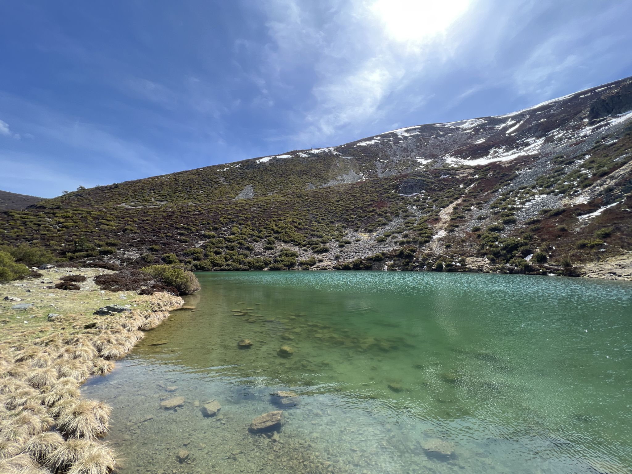
Discover the unknown Burgos - Dos Aguas Trail (GR 290)
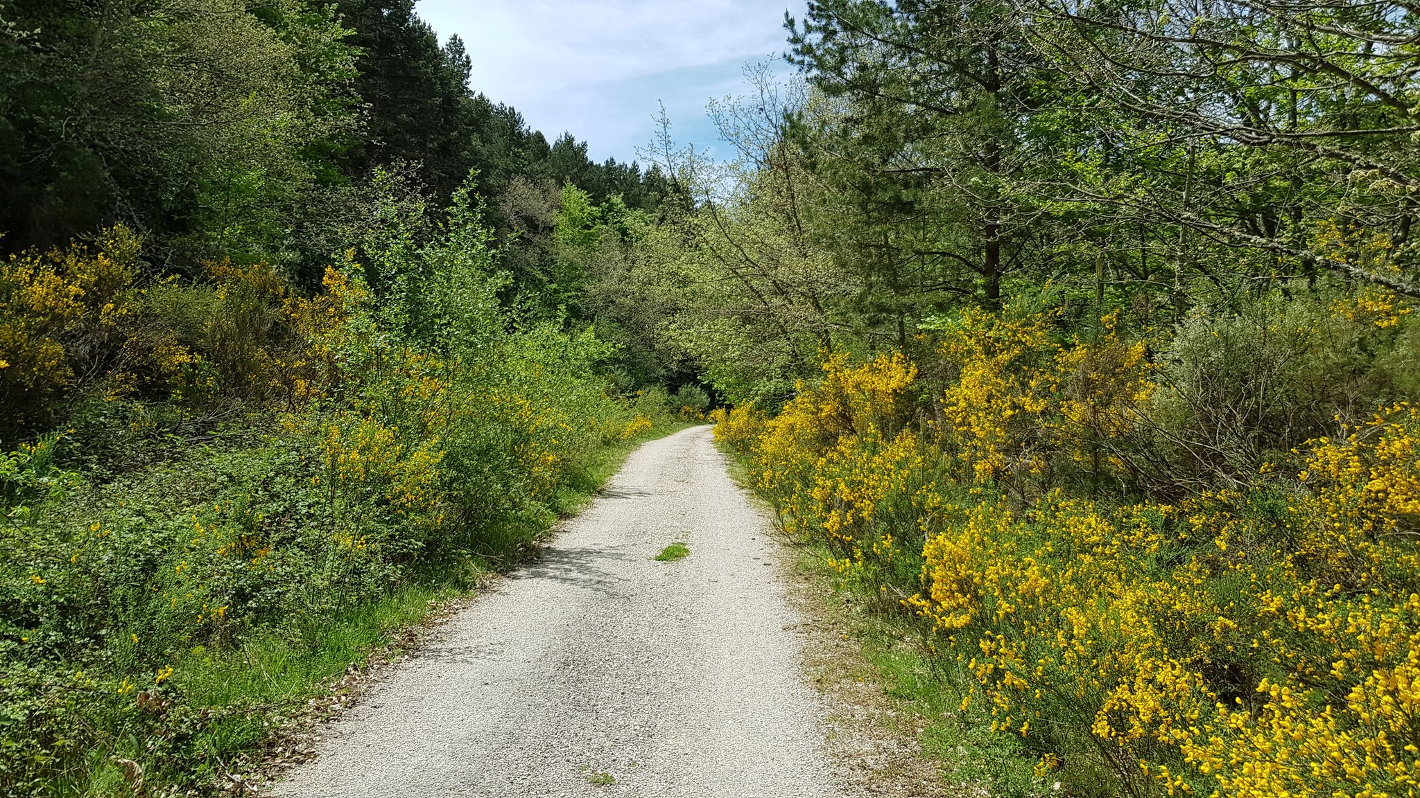
A journey into the past - Vía Verde de la Sierra de la Demanda
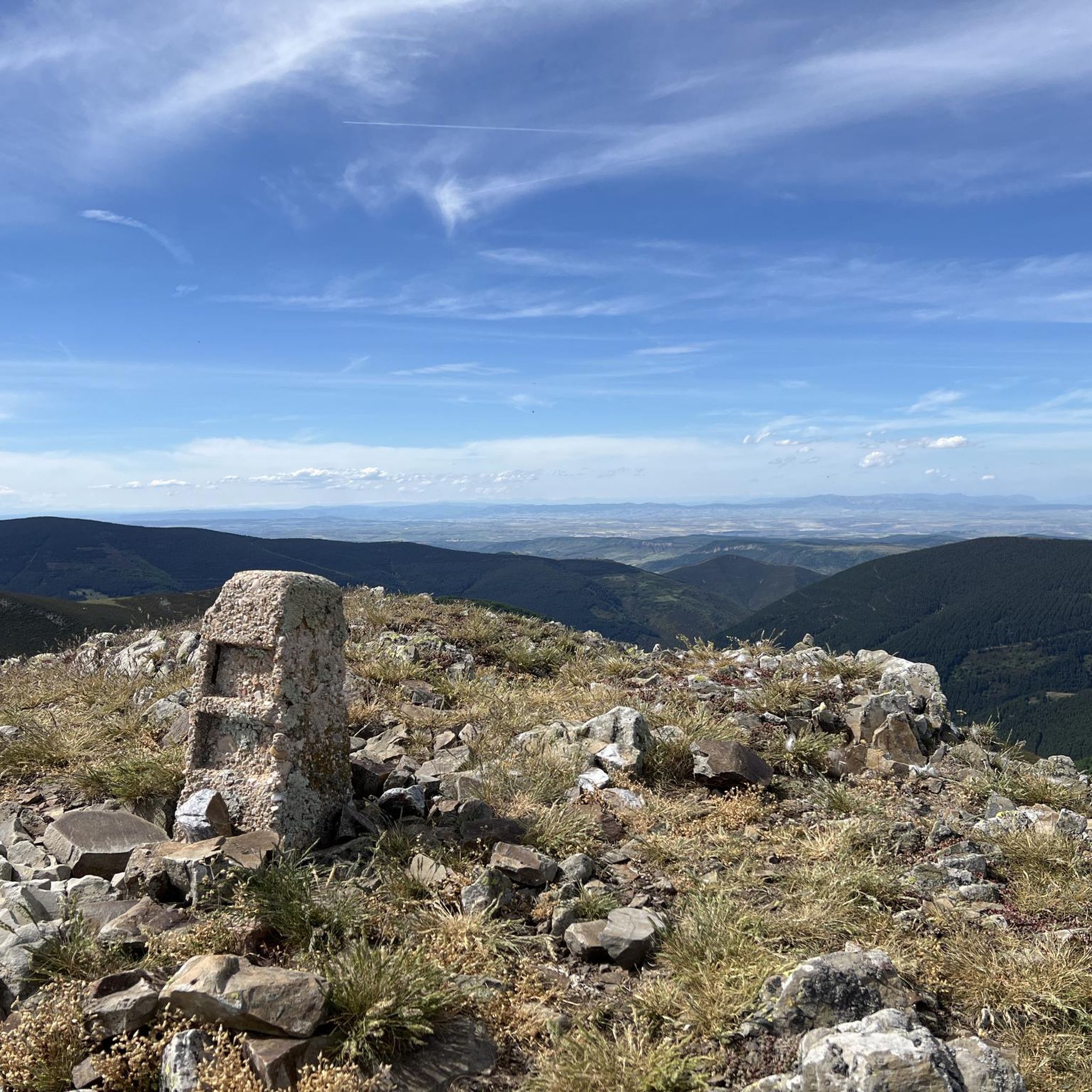
Hiking around Barbadillo De Herreros
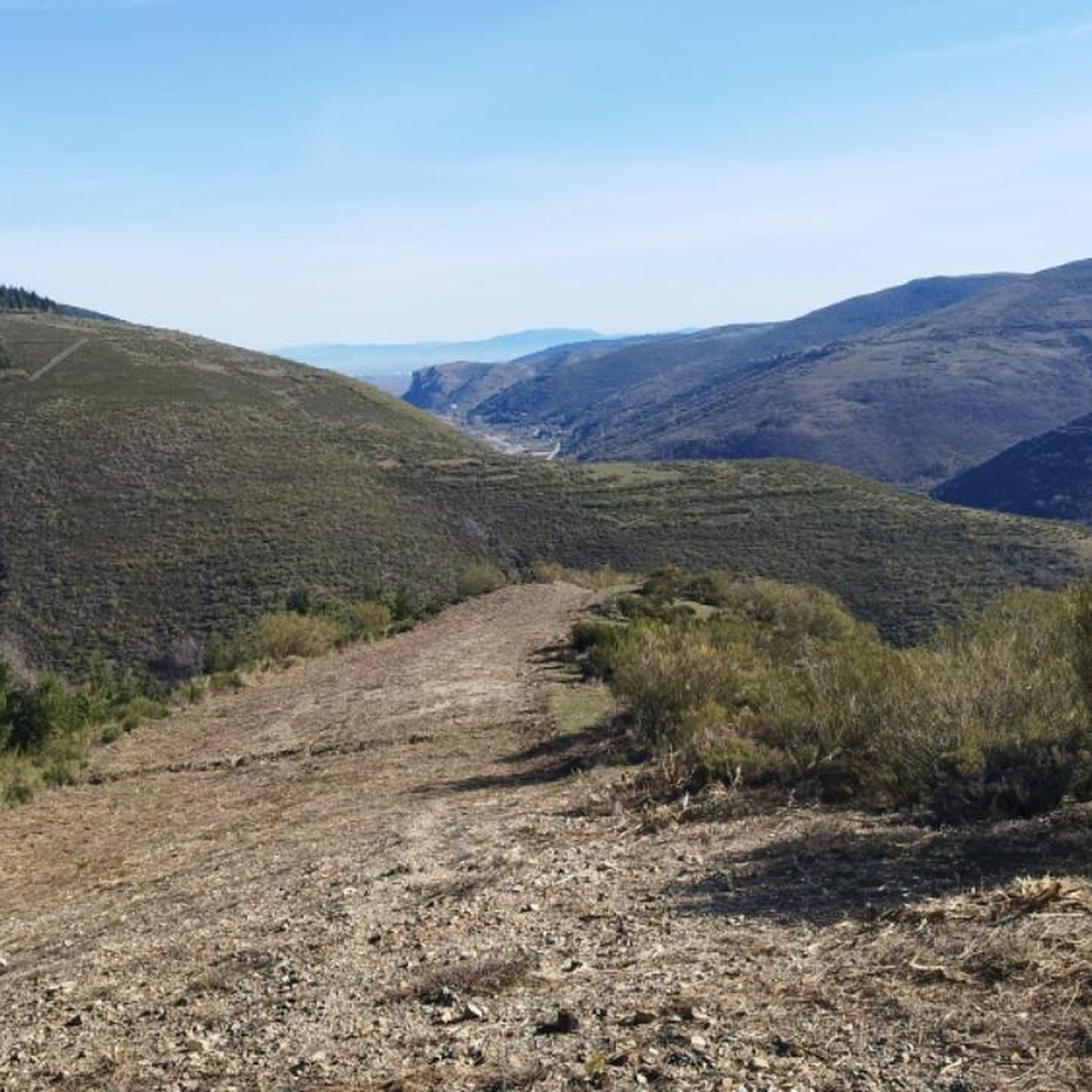
MTB Trails around Barbadillo De Herreros
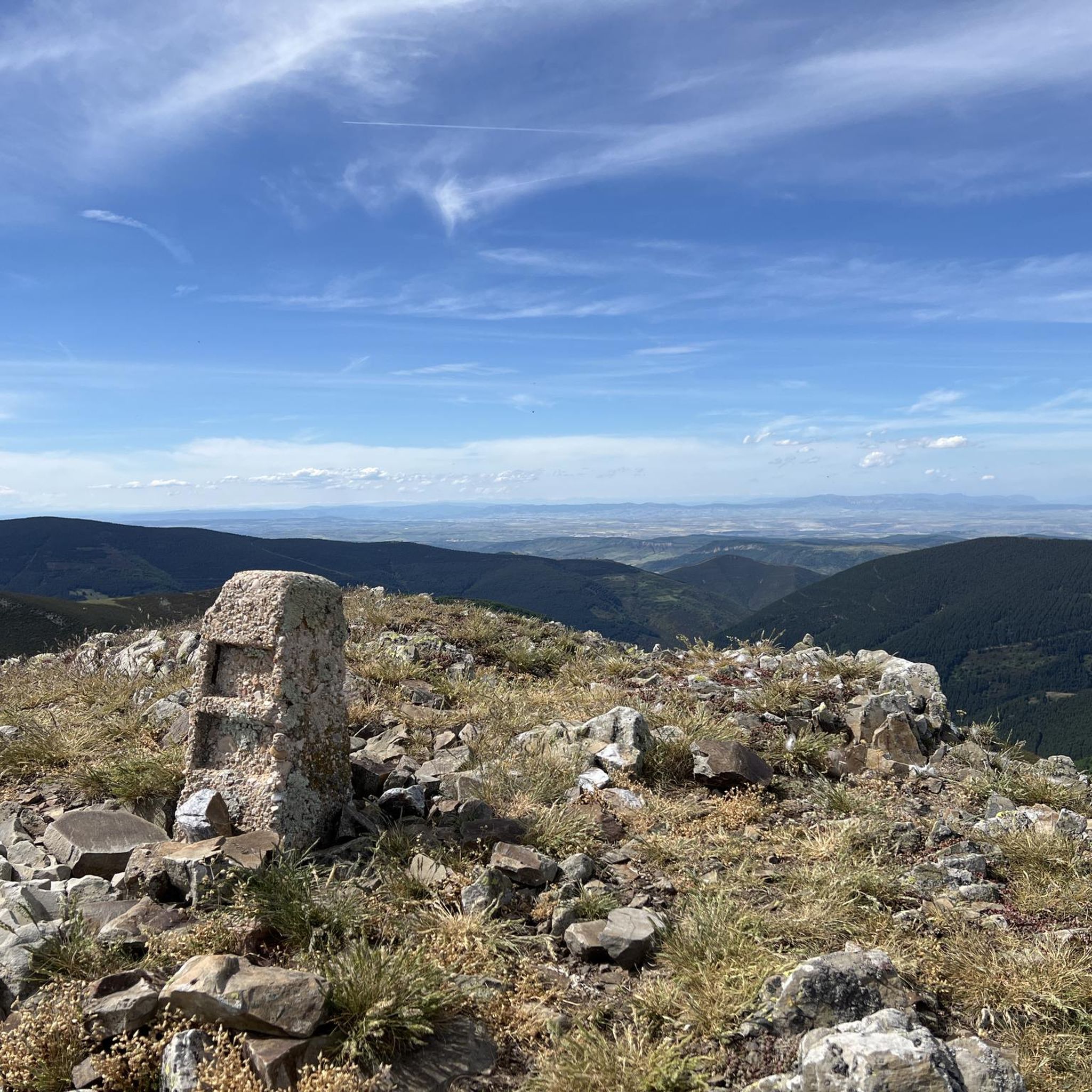
Cycling around Barbadillo De Herreros
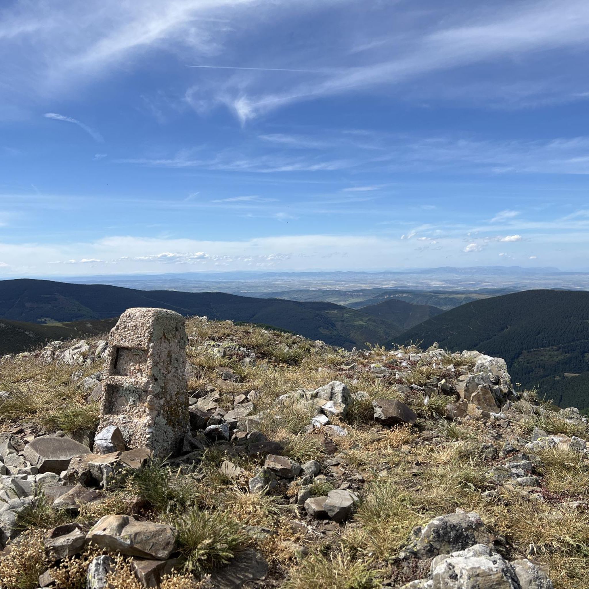
Road Cycling Routes around Barbadillo De Herreros

Mountain Hikes around Barbadillo De Herreros
Other adventures around Barbadillo De Herreros


Tips from the Community

Spectacular area for hiking routes
0
0
a highly recommended area for hiking.
0
0
a highly recommended area for hiking.
0
0
a highly recommended area for hiking.
0
1

There are many routes, both easy and difficult, to choose from. The Sierra is very beautiful, especially in autumn.
0
0

The path leaves El Portillo on the east side, goes up a few meters along a channel and enters the north side. If the mountain has snow, this section is dangerous because the cold and shady conditions keep the path icy and the fall is fatal; crampons and ice axes would be essential. The alternative is to climb directly along the channel on the east face, with less slope, sunnier and direct to the summit of San Millán (2,131 m), also called El Torruco. At the top there is a small circular stone tower adorned with a metal house and other festival motifs left by mountaineers. The southern slope of the mountain is a large mass of gentle slopes with no remains of glacial activity towards the valley of the Arlanzón River. The descent continues along the west face, enjoying extraordinary views of the Urbión River valley and the glacial cirque where the San Millán lagoon appears half frozen.
0
0

From the top of Pico Mencilla, you can see Pico Trigaza and San Millan
1
0

Small mountain village. Picturesque. There is a nice café here for a break. There aren't really many cafes here. So you should stop by.
2
0
Frequently Asked Questions
How many running routes are available around Barbadillo De Herreros?
There are over 18 dedicated running routes in the Barbadillo De Herreros area, offering a variety of experiences through the Sierra de la Demanda. Most of these routes are considered challenging due to the mountainous terrain.
What is the general difficulty level of the jogging trails in Barbadillo De Herreros?
The majority of jogging trails around Barbadillo De Herreros are classified as difficult, with 17 out of 18 routes falling into this category. There is one moderate route, but no easy routes are listed, indicating that most paths involve significant elevation changes and challenging terrain.
Are there any running routes that feature waterfalls?
Yes, the region boasts the beautiful Cascada del río Pedroso. A simple trail follows the Río Pedroso's course, leading to this refreshing waterfall hidden among oak and beech forests, making for a tranquil run.
Are there any circular running routes in the area?
Absolutely. The Route of the 7 Bridges – Peaks of the Demanda loop from Azárrulla is a popular circular trail that winds through the ravine of the Usaya stream, featuring small wooden walkways and spectacular scenery. Another option is the Ascent to Alto de Gayubar — circular from Vallejimeno, which offers great views.
What kind of landscapes can I expect to see while running in Barbadillo De Herreros?
Runners in Barbadillo De Herreros can expect diverse and striking natural landscapes. The routes traverse dense forests of oak, beech, and pine, ascend to high mountain passes like Puerto del Manquillo, and follow river valleys such as the Río Pedroso. Expansive mountain views are a common reward for the effort.
Are there any historical or unique trails for running?
Yes, the Ruta de los 7 Puentes de Azárrulla is a unique trail winding through a ravine with wooden walkways. Additionally, the Vía Verde de la Sierra de la Demanda, a former mining railway line, has been converted into a scenic and relatively flat path, perfect for longer, uninterrupted jogs and exploring the region's mining heritage.
What do other runners enjoy most about the trails in Barbadillo De Herreros?
The running routes in Barbadillo De Herreros are highly rated by the komoot community, with an average score of 5.0 stars. Over 300 runners have explored the area, often praising the challenging ascents, the pristine natural environment, and the rewarding mountain views, especially from peaks like San Millán (2,131 m).
Are there any routes that offer significant elevation challenges for experienced runners?
For experienced runners seeking elevation, the region offers several challenging options. The Pico San Millán - Enrique del Ribero Loop involves significant ascent towards Pico San Millán. The Alto de Pradilla presents a six-kilometer ascent with an average gradient of 5.2%, while the Puerto del Manquillo features an 11-kilometer climb with gradients up to 11%.
What are some notable landmarks or viewpoints along the running paths?
Many routes offer access to significant landmarks and viewpoints. You can find mountain passes like Puerto del Manquillo and Cruz de la Demanda Pass, as well as summits such as San Millán (2,131 m) and Cruz De Guirnaldo, all offering expansive mountain vistas.
Are there any routes that are less crowded for a peaceful running experience?
While specific crowd levels vary, routes traversing the dense forests of oak, beech, and pine, or those along the Vía Verde de la Sierra de la Demanda, often provide a more secluded and peaceful running experience away from busier areas. The Puerto del Manquillo, for instance, traverses mainly pine forests on narrow, car-free roads, ideal for undisturbed running.
What is the best time of year to go running in Barbadillo De Herreros?
Barbadillo De Herreros, situated at a high elevation, offers a cool climate. Spring and autumn are generally ideal, with pleasant temperatures and vibrant foliage. Summer can also be good due to the elevation providing relief from heat, especially in the shaded forest routes. Winter running is possible but may require appropriate gear for snow and colder conditions at higher altitudes.
Can I find any longer distance running trails for endurance training?
Yes, for endurance training, you can explore routes like the Pineda de la Sierra – San Millán (2,131 m) loop from Pineda de la Sierra, which is an 18.5 miles (29.8 km) trail through high mountain terrain. The Vía Verde de la Sierra de la Demanda also provides a relatively flat and accessible path suitable for longer, uninterrupted jogs.
Most popular routes around Barbadillo De Herreros
Most popular attractions around Barbadillo De Herreros

Get inspired with the komoot mobile app


Explore more
Browse the best Running Trails & Routes in other regions.
