The best cycling routes around El Vallecillo
26
riders
8
rides
Touring cycling around El Vallecillo, located in the Sierra de Albarracín, offers diverse landscapes for exploration. The region features the Cabriel River valley, characterized by extensive mixed pine forests, predominantly Scots pine. Karst topography, including dolinas and simas, adds geological interest to the area. This environment provides varied terrain for touring cyclists, transitioning towards the Cuenca mountain range.
Best touring cycling routes around El Vallecillo
- The most popular touring cycling route is Empty Mountains - circular via the Zafrilla river…
Last updated: May 18, 2026
55.9km
05:42
1,120m
1,120m
Hard bike ride. Very good fitness required. Some segments of this route may be unpaved and difficult to ride.
7
riders
46km
03:09
830m
830m
Hard bike ride. Very good fitness required. Mostly paved surfaces. Suitable for all skill levels.

Sign up for free
5
riders
47.6km
03:17
790m
790m
Hard bike ride. Very good fitness required. Mostly paved surfaces. Suitable for all skill levels.
2
riders
16.0km
01:27
230m
240m
Moderate bike ride. Good fitness required. Mostly paved surfaces. Suitable for all skill levels.
4
riders
37.4km
03:16
620m
620m
Hard bike ride. Very good fitness required. Mostly paved surfaces. Suitable for all skill levels.
Get access to more routes and recommendations from other explorers.
Sign up for free
Already have an account?
Our route recommendations are based on thousands of hikes, rides, and runs completed by other people on komoot.
Start today with a free account
Your next adventure awaits.
Login or Signup
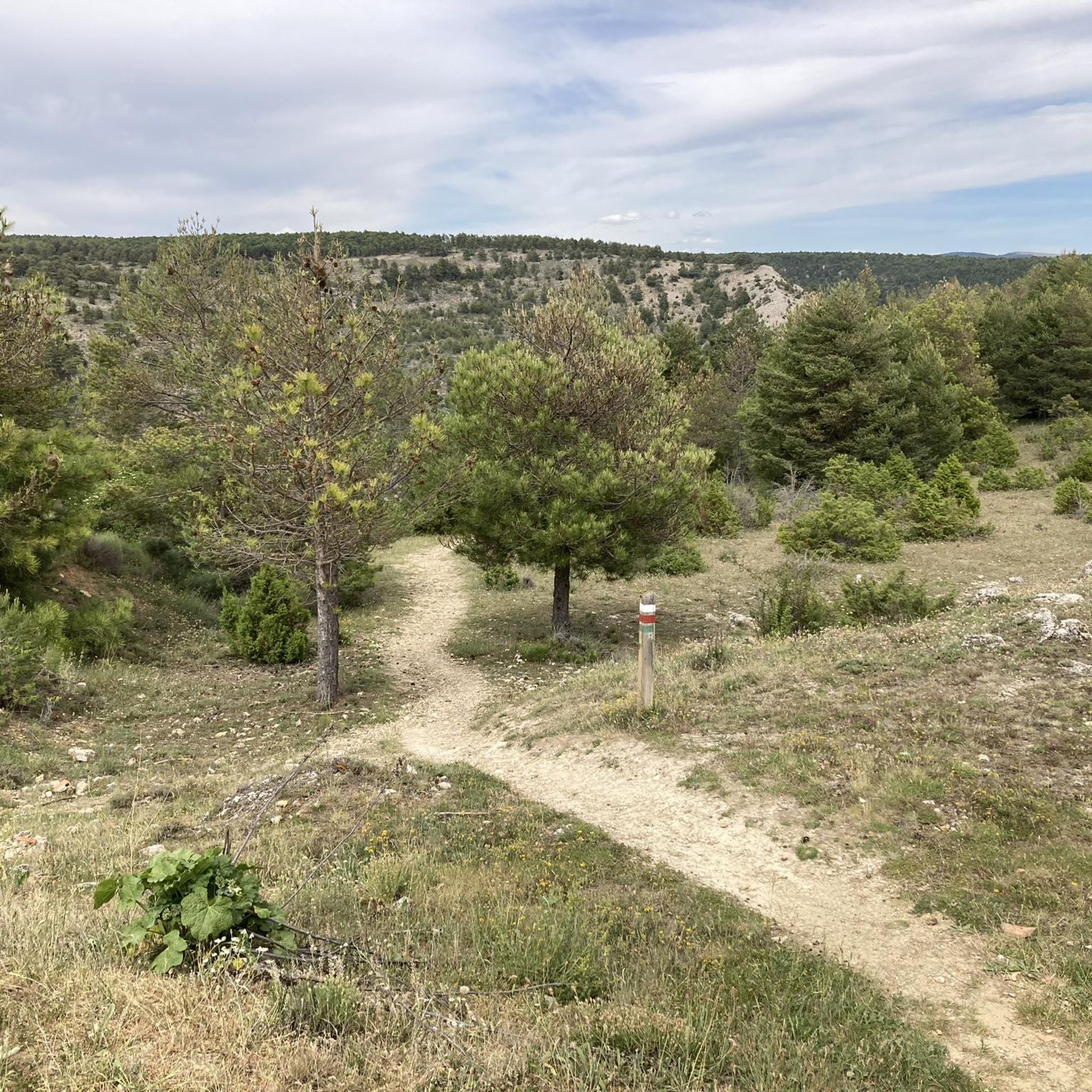
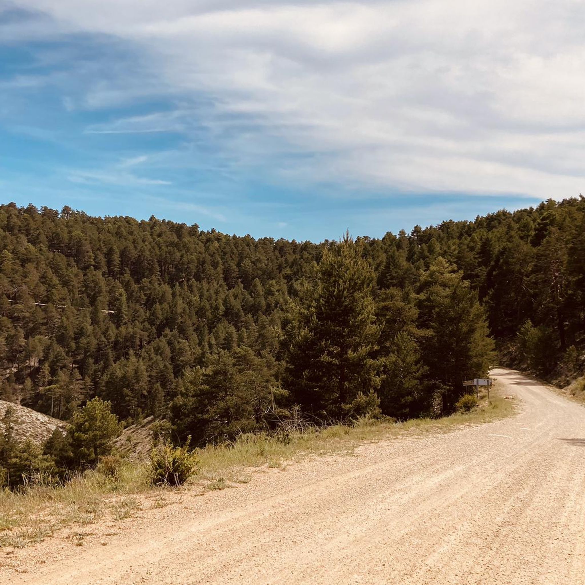
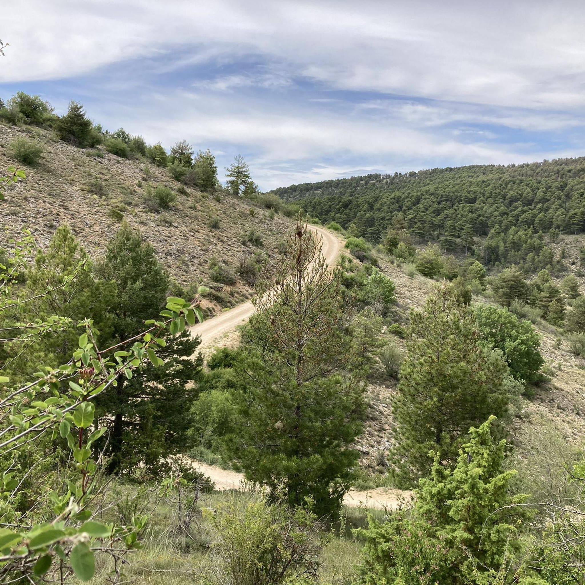

Tips from the Community

The official source of water is located at Fuente de García, in the Montes Universales, within the municipality of Frías de Albarracín (Teruel). It is located at an altitude of approximately 1,590 meters, surrounded by pine forests and high mountain meadows. Access is very easy and well signposted. Take the A-1704 highway, which connects Frías de Albarracín with Huélamo (Cuenca). From the highway, a paved detour of approximately 2 km takes you directly to the recreational area and the monument. There is free parking next to the monument.
10
0
Access is very easy and well signposted. Take the A-1704 highway, which connects Frías de Albarracín with Huélamo (Cuenca). From the highway, a paved detour of approximately 2 km takes you directly to the recreational area and the monument. There is free parking next to the monument.
5
0
The official source is located at Fuente de García, in the Montes Universales, within the municipality of Frías de Albarracín (Teruel). It is located at an altitude of approximately 1,590 meters, surrounded by pine forests and high mountain meadows.
5
0

It is a reference to the place where the longest river in Spain originates, stretching over 1,000 km and flowing into neighboring Portugal. These statues symbolize this point in the Albarracín mountain range.
8
0

A good place to stop: fountain, park and bar
0
0
A stop with a fountain, park and bar
0
0

Perfectly natural in a beautiful location.
4
0

Acceptable cabin with a fireplace and a bedroom. There's a spring next door.
0
0
Frequently Asked Questions
What is the overall difficulty level for touring cycling routes around El Vallecillo?
Most touring cycling routes in El Vallecillo are considered difficult, with 7 out of 9 routes falling into this category. There are also 2 moderate routes available, but currently no easy routes are listed. This suggests the area is best suited for cyclists with some experience looking for a challenge.
Are there any easier touring cycling routes suitable for beginners in El Vallecillo?
While there are no routes specifically rated as 'easy', you can find a couple of moderate options. For example, the El Algarbe Recreation Area loop from Moscardón is a moderate 16 km route that might be more approachable for those seeking a less strenuous ride.
What kind of terrain can I expect on touring cycling routes in El Vallecillo?
The terrain around El Vallecillo is quite varied and picturesque. You'll encounter extensive mixed pine forests, predominantly Scots pine, and areas with notable karst topography, including dolinas and simas. Some routes, like the popular Empty Mountains - circular via the Zafrilla river and the Cabriel waterfalls - gravel, feature gravel sections, especially along river valleys.
Are there any routes that pass by waterfalls or other scenic river features?
Yes, the region is known for its beautiful river features. The Empty Mountains - circular via the Zafrilla river and the Cabriel waterfalls - gravel route specifically mentions passing by waterfalls. You can also find the scenic Herrería Waterfall and the San Pedro Mill Waterfall, as well as the Ojos del Cabriel (Eyes of the Cabriel), which are popular points of interest in the area.
What natural landmarks or points of interest can I explore while cycling in El Vallecillo?
Beyond the waterfalls, El Vallecillo offers several natural landmarks. The large La Ubriga cave is a significant example of the region's karst formations. You might also encounter the impressive Monumental Pine or the tranquil Laguna del Marquesado Nature Reserve. The Montañas Vacías (section) and Zafrilla River Trail also offer beautiful natural scenery.
Are there any circular touring cycling routes available in El Vallecillo?
Yes, several routes are designed as loops. Popular options include the Empty Mountains - circular via the Zafrilla river and the Cabriel waterfalls - gravel, the Forest House Refuge – Guadalaviar loop from Frías de Albarracín, and the Terriente – Alto de los Pozuelos loop from Terriente. These circular routes allow you to start and end your ride in the same location.
What is the best time of year to go touring cycling in El Vallecillo?
El Vallecillo, transitioning towards the Cuenca mountain range, experiences distinct seasons. Spring and autumn generally offer the most pleasant temperatures for cycling, with lush landscapes in spring and vibrant colors in autumn. Summers can be warm, especially at lower elevations, while winters can be cold with potential for snow, making some routes less accessible.
Are there any family-friendly touring cycling routes in El Vallecillo?
Given that most routes are rated as difficult, and there are no easy routes, El Vallecillo may be more challenging for families with young children or beginner cyclists. The moderate El Algarbe Recreation Area loop from Moscardón could be a potential option for families seeking a shorter, less strenuous ride, but it's important to assess your family's cycling ability beforehand.
Can I bring my dog on touring cycling routes in El Vallecillo?
While specific regulations for dogs on cycling routes are not detailed, the region's natural environment, with extensive pine forests and river valleys, generally welcomes responsible dog owners. Always ensure your dog is well-behaved, kept on a leash where necessary, and that you clean up after them. Be mindful of wildlife and other trail users.
Where can I find parking for touring cycling routes in El Vallecillo?
Specific parking information for each route start point is not provided in detail. However, for routes starting from villages like Moscardón or Terriente, you can typically find public parking areas within or on the outskirts of the villages. It's advisable to check local signage upon arrival for designated parking spots.
What do other touring cyclists enjoy the most about touring cycling in El Vallecillo?
More than 27 touring cyclists have used komoot to explore El Vallecillo's varied terrain. Cyclists often praise the region's dense pine forests, dramatic karst formations, and the scenic Cabriel river with its waterfalls. The diverse landscapes and challenging routes provide a rewarding experience for those seeking adventure in a beautiful natural setting.
Are there any routes that offer panoramic views or high points?
Yes, the Terriente – Alto de los Pozuelos loop from Terriente is a route that leads through varied terrain to a high point, suggesting opportunities for panoramic views. The region's karst topography and transition towards the Cuenca mountain range also imply many elevated spots offering scenic vistas, such as the Mirador Castilleja mentioned in regional research.
What should I bring for a touring cycling trip in El Vallecillo?
Given the challenging nature of many routes and the varied terrain, it's recommended to bring appropriate gear. This includes a well-maintained touring bicycle suitable for mixed surfaces (especially if tackling gravel sections), a helmet, sufficient water and snacks, navigation tools (like komoot's app), a repair kit, and layers of clothing to adapt to changing weather conditions. A headlamp might be useful if you plan to explore caves or are out near dusk.
Most popular attractions around El Vallecillo

Get inspired with the komoot mobile app


Explore more
Browse the best Cycling routes in other regions.
