The best road cycling routes around El Vallecillo
65
riders
7
rides
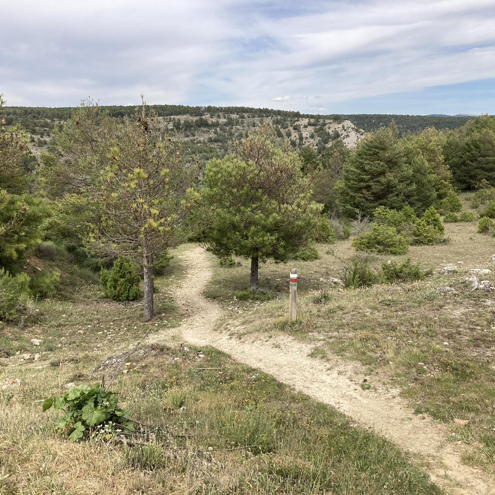
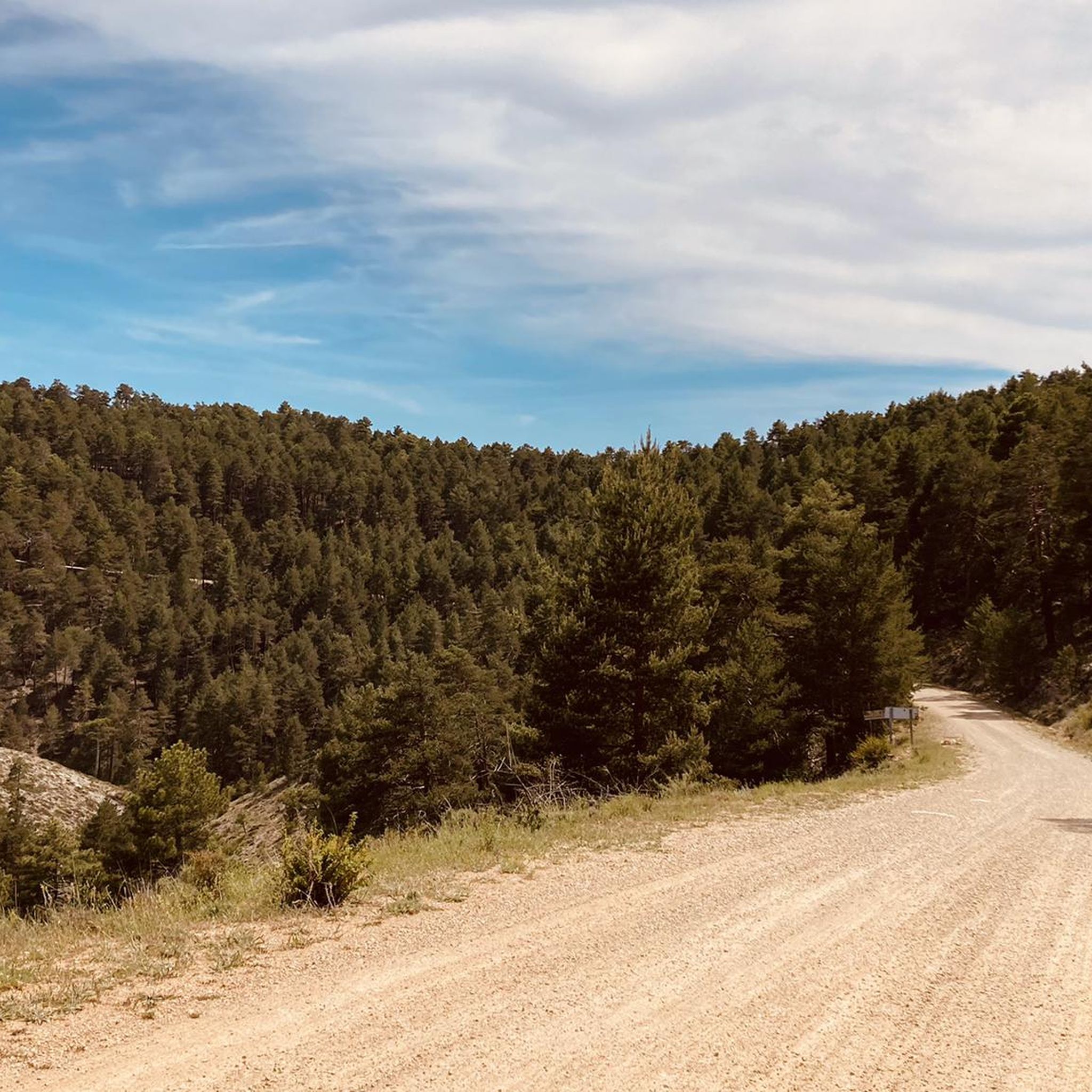
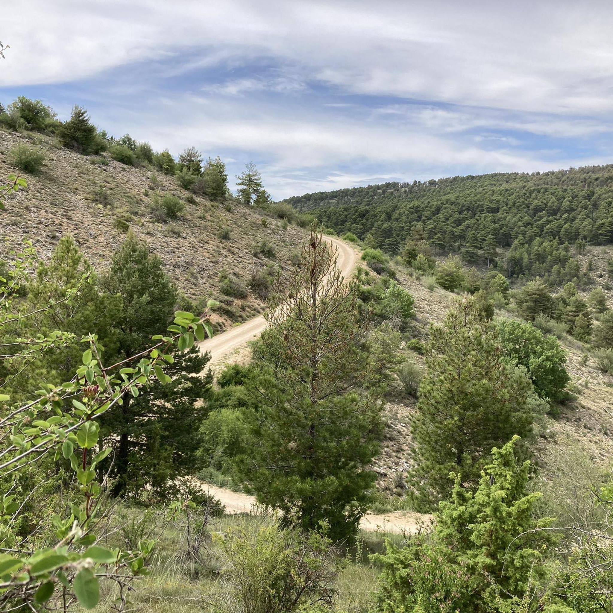
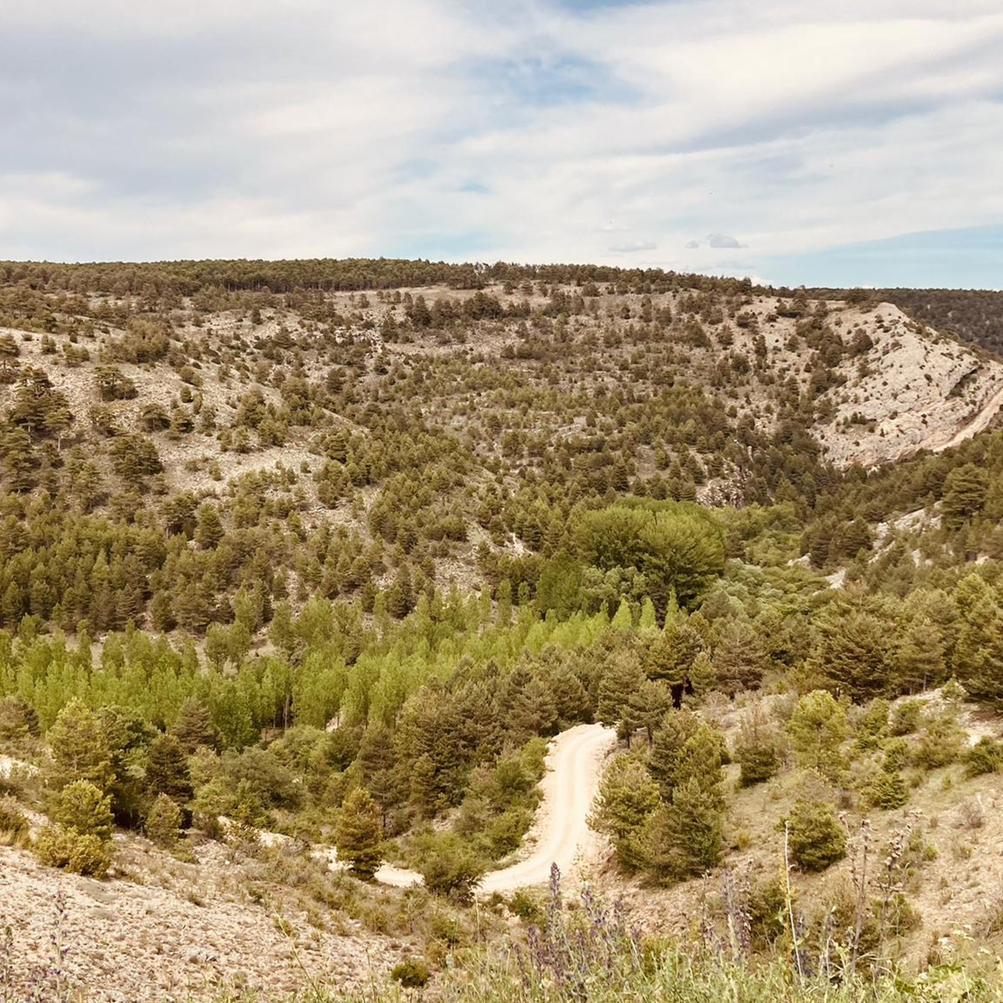
Road cycling around El Vallecillo offers diverse terrain within the Sierra de Albarracín, characterized by its high altitude and transition towards the Serranía de Cuenca. The landscape features extensive Scots and black pine forests, cretaceous limestone ridges, and numerous karst reliefs. Cyclists can explore routes through valleys and along the Cabriel River, providing varied gradients and scenic backdrops.
Best road cycling routes around El Vallecillo
- The most popular road cycling route is El Cubillo Pass – Forest House Refuge loop…
Last updated: May 18, 2026
18
riders
103km
05:09
1,590m
1,590m
Hard road ride. Very good fitness required. Mostly well-paved surfaces and easy to ride.
13
riders
50.5km
02:35
840m
830m
Moderate road ride. Good fitness required. Mostly well-paved surfaces and easy to ride.

Sign up for free
7
riders
87.2km
04:31
1,510m
1,510m
Hard road ride. Very good fitness required. Mostly well-paved surfaces and easy to ride.
6
riders
41.9km
02:12
680m
680m
Moderate road ride. Good fitness required. Some segments of this route may be unpaved and difficult to ride.
8
riders
41.1km
01:58
490m
490m
Moderate road ride. Good fitness required. Mostly well-paved surfaces and easy to ride.
Get access to more routes and recommendations from other explorers.
Sign up for free
Already have an account?
Our route recommendations are based on thousands of hikes, rides, and runs completed by other people on komoot.
Start today with a free account
Your next adventure awaits.
Login or Signup
Tips from the Community

Beautiful place, the village, the castle, the church, everything!
0
1

The section of the A-1512 that starts in Albarracín and heads toward Noguera de Albarracín and Orihuela del Tremedal is known for its spectacular natural beauty. This route passes through gorges, dense pine and holm oak forests, and areas of outstanding scenic value such as the Tremedales de Orihuela, with unique features such as rocky rivers and peat bogs.
1
0

Next to the town square and with our backs to the village, we find the local church, whose state of preservation is not exactly the best of all the churches in the region, but it is still open for worship and mass is held at least once a week.
10
0
The official source of water is located at Fuente de García, in the Montes Universales, within the municipality of Frías de Albarracín (Teruel). It is located at an altitude of approximately 1,590 meters, surrounded by pine forests and high mountain meadows. Access is very easy and well signposted. Take the A-1704 highway, which connects Frías de Albarracín with Huélamo (Cuenca). From the highway, a paved detour of approximately 2 km takes you directly to the recreational area and the monument. There is free parking next to the monument.
10
0
Access is very easy and well signposted. Take the A-1704 highway, which connects Frías de Albarracín with Huélamo (Cuenca). From the highway, a paved detour of approximately 2 km takes you directly to the recreational area and the monument. There is free parking next to the monument.
5
0
The official source is located at Fuente de García, in the Montes Universales, within the municipality of Frías de Albarracín (Teruel). It is located at an altitude of approximately 1,590 meters, surrounded by pine forests and high mountain meadows.
5
0
It is a reference to the place where the longest river in Spain originates, stretching over 1,000 km and flowing into neighboring Portugal. These statues symbolize this point in the Albarracín mountain range.
8
0

Perfectly natural in a beautiful location.
4
0
Frequently Asked Questions
What kind of terrain and landscapes will I encounter when road cycling around El Vallecillo?
Road cycling around El Vallecillo offers a diverse and picturesque landscape. You'll ride through extensive Scots and black pine forests, along cretaceous limestone ridges, and through the scenic valley of the Cabriel River. The area is situated at over 1,400 meters altitude, providing varied gradients from gentle slopes to more demanding climbs, all within a tranquil, rural environment.
Are there road cycling routes suitable for different skill levels in El Vallecillo?
Yes, the region caters to various cycling abilities. While there are no easy routes, you'll find 3 moderate routes and 4 difficult routes. This allows cyclists to choose paths that match their experience, from balanced rides through river valleys to challenging climbs through mountainous terrain.
Which road cycling route offers the most significant challenge in terms of distance and elevation?
For a demanding ride, the El Cubillo Pass – Forest House Refuge loop from Terriente is a difficult route spanning 64.0 miles (102.9 km) with an elevation gain of over 1,500 meters. It typically takes around 5 hours to complete, leading you through forested areas.
Are there any moderate-difficulty loop routes for road cyclists?
Yes, a popular moderate option is the Cañete – Río de la Laguna loop from Zafrilla. This 31.4-mile (50.5 km) route explores river valleys and offers a balanced cycling experience, typically completed in just over 2.5 hours.
What natural attractions can I see along the road cycling routes in El Vallecillo?
The region is rich in natural beauty. You can discover spectacular waterfalls like the Herrería Waterfall and the impressive San Pedro Mill Waterfall. The official source of the Cabriel River, known as Ojos del Cabriel, is another significant natural feature where water springs meet the surface. You'll also pass through extensive pine forests and encounter unique karst reliefs.
Are there any specific viewpoints or landmarks to look out for on road cycling tours?
Beyond the natural features, the routes often traverse areas with stunning vistas over the varied terrain. While specific viewpoints are not detailed for every route, the mountainous and forested landscapes inherently offer numerous scenic spots. Keep an eye out for the Monumental Pine, a notable natural monument in the area.
What is the best time of year for road cycling in El Vallecillo?
El Vallecillo, situated at over 1,400 meters altitude, experiences distinct seasons. The warmer months are generally ideal for cycling, allowing you to enjoy the natural pools and crystal-clear waters. The low traffic density on minor roads throughout the rural environment makes for a pleasant and safe cycling experience during these times.
Are there any shorter, moderate road cycling loops available?
Yes, for a shorter, moderate ride, consider the Prado Molinero – Alto de los Pozuelos loop from Terriente. This route covers 41.8 miles (67.3 km) with over 680 meters of elevation gain, offering a balanced challenge without being overly strenuous.
Can I find road cycling routes that pass through or near towns like Albarracín?
Yes, you can explore routes that connect to nearby towns. For example, the Albarracín – Albarracín Old Town loop from Terriente is a moderate 41.1-mile (66.1 km) route that allows you to experience the beautiful surroundings of Albarracín.
What do other road cyclists say about their experience in El Vallecillo?
The road cycling routes around El Vallecillo are well-regarded by the komoot community, with over 60 road cyclists having explored the varied terrain. Cyclists often praise the stunning natural landscapes, the quiet roads, and the diverse challenges offered by the region's valleys, forests, and mountainous areas.
Are there any specific areas known for their unique geological features that I might cycle through?
Yes, the area is characterized by cretaceous limestone ridges and numerous karst reliefs, such as dolines and sinkholes. These geological formations add to the unique beauty and interest of the landscape you'll cycle through, particularly in the municipal area within the LIC-ZEPA Valdecabriel-Las Tejedas zone.
Most popular attractions around El Vallecillo

Get inspired with the komoot mobile app


Explore more
Browse the best Road cycling routes in other regions.
