The best cycling routes around El Recuenco
5.0
(2)
14
riders
4
rides
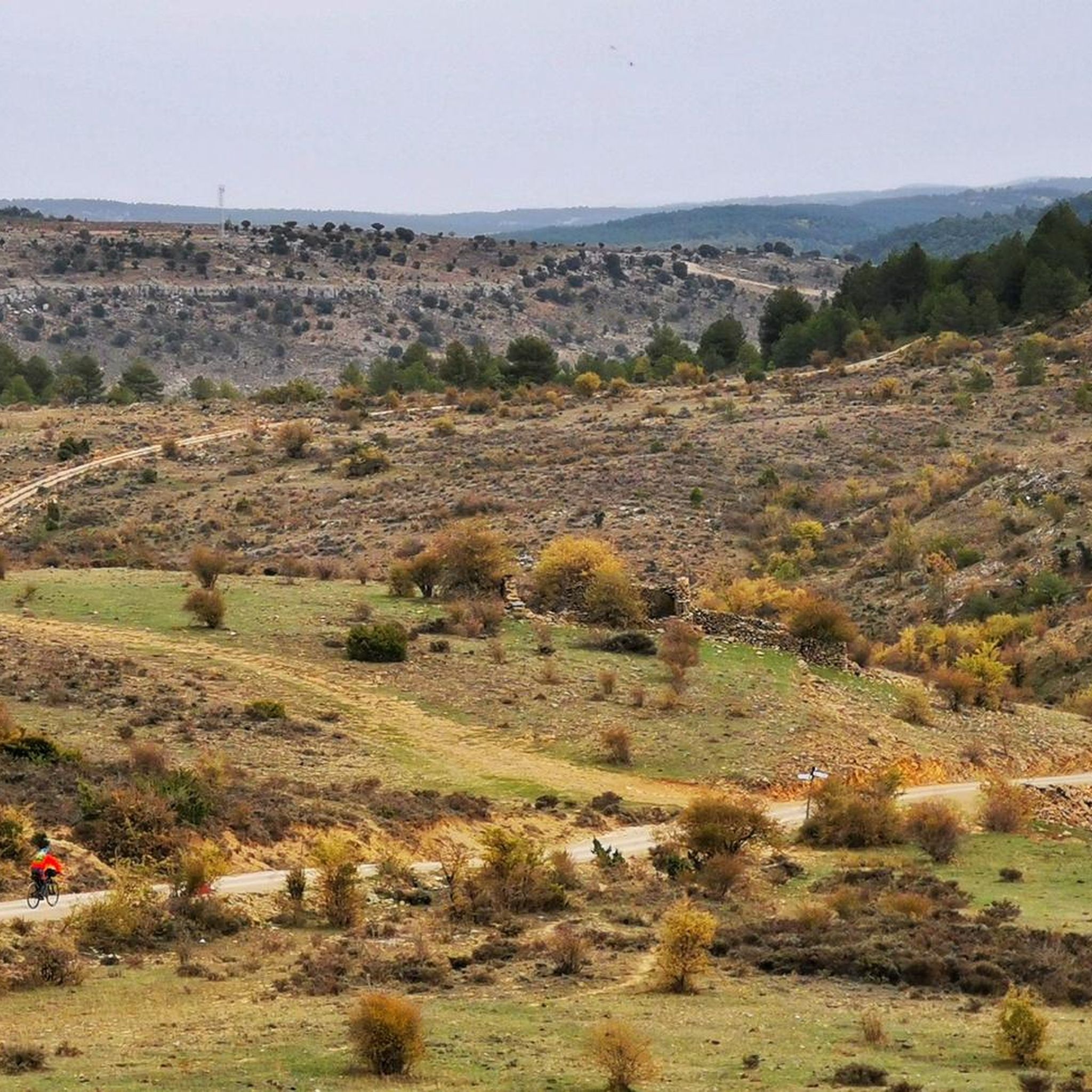
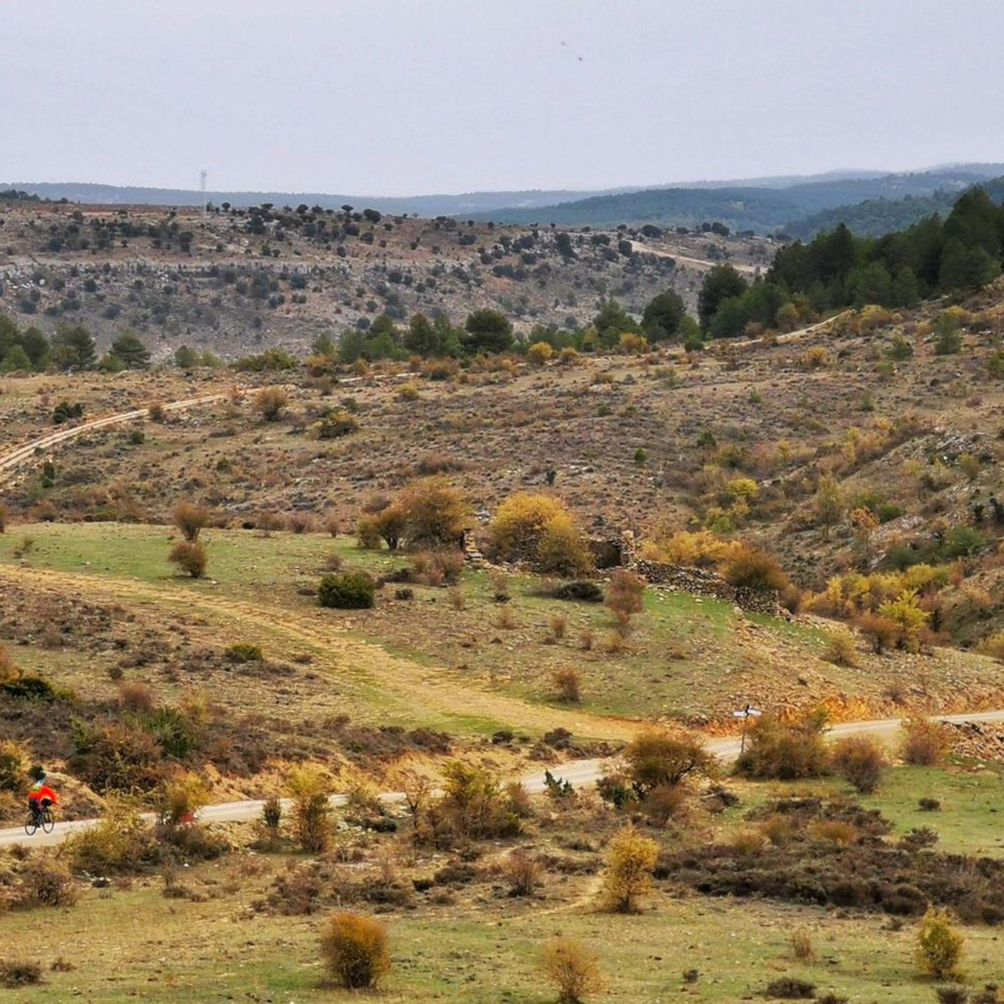
Touring cycling around El Recuenco offers routes through a rugged natural landscape characterized by high-altitude plateaus and deep ravines. The region features extensive pine, oak, and juniper forests, providing varied terrain for cyclists. Situated between the mountains of Cuenca, Alcarria, and the Alto Tajo Natural Park, the area presents significant elevation changes. This topography creates challenging and scenic touring cycling opportunities.
Best touring cycling routes around El Recuenco
- The most popular touring cycling route is El Recuenco Start – Alcantud…
Last updated: June 30, 2026
5.0
(1)
3
riders
35.8km
02:15
430m
430m
Moderate bike ride. Good fitness required. Mostly paved surfaces. Suitable for all skill levels.
5.0
(1)
3
riders
38.7km
02:26
450m
450m
Moderate bike ride. Good fitness required. Mostly paved surfaces. Suitable for all skill levels.

Sign up for free
4
riders
71.4km
04:39
980m
980m
Hard bike ride. Very good fitness required. Mostly paved surfaces. Suitable for all skill levels.
2
riders
51.1km
03:14
590m
590m
Hard bike ride. Very good fitness required. Mostly paved surfaces. Suitable for all skill levels.
2
riders
Hard bike ride. Very good fitness required. Mostly paved surfaces. Suitable for all skill levels.
Our route recommendations are based on thousands of hikes, rides, and runs completed by other people on komoot.
Start today with a free account
Your next adventure awaits.
Login or Signup
Popular around El Recuenco
Tips from the Community

Beautiful town in Alto Tajo with exceptional landscapes.
0
0
Muslim castle built on a firm rock. Impregnable. for the defense of the Tagus River.
0
0
The Valpinoso stream, also known as the Cueva stream (which is very close), and the Navazos stream. It looks like a medieval bridge made entirely of stone. Next to it are the old Wash House and the Los Caños Fountain.
0
0

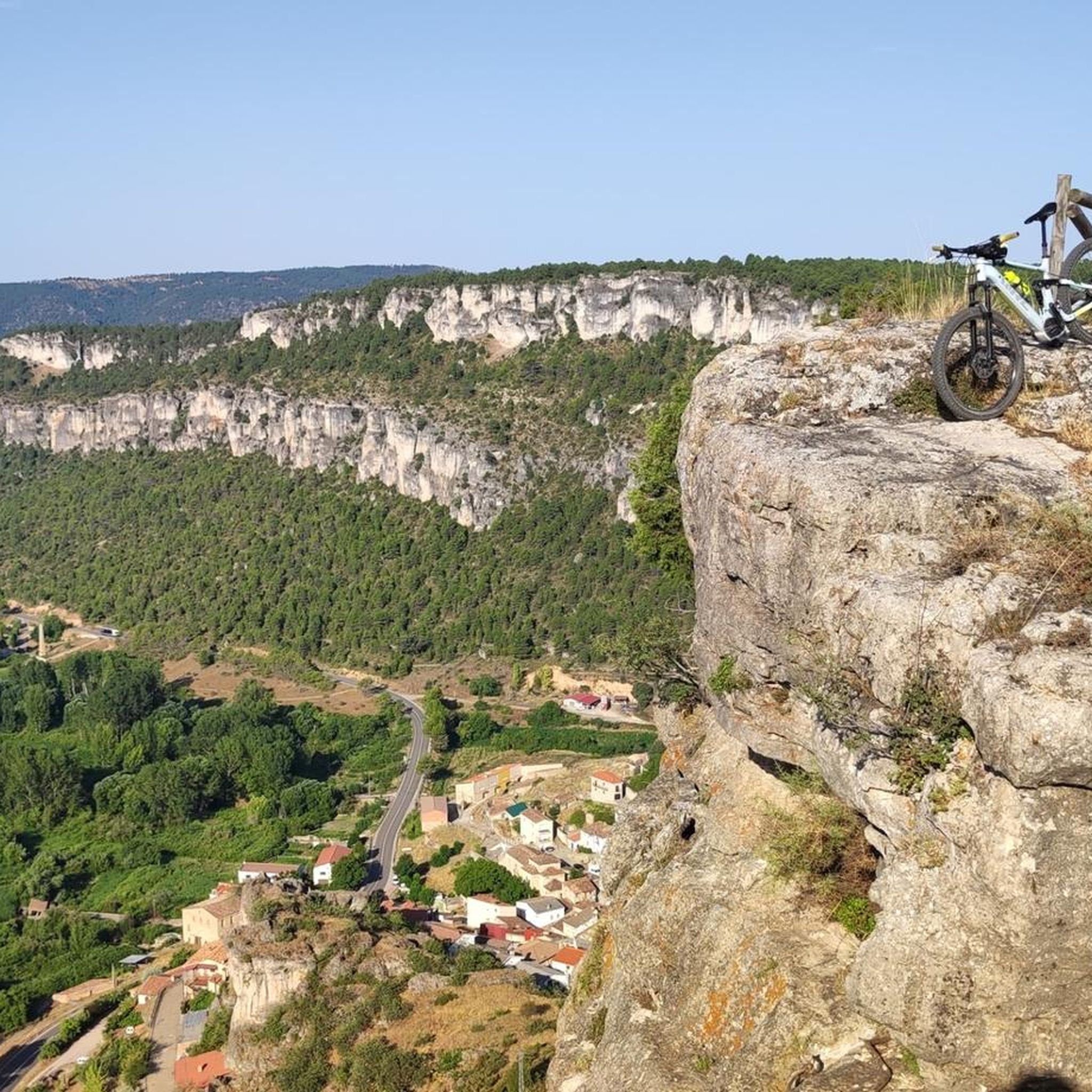
Among the points of interest in Priego, it is worth highlighting: the church of San Nicolás de Bari, which reigns over the urban area, Calle Larga and Plaza de los Condes, the town hall and the Torreón de Despeñaperros (the only vestige of the fortress remaining Arab in the village). The area is known by climbing fans - mention must be made of the via ferrata of the Strait of Priego and a publicly accessible climbing area, with rock walls up to 60 meters high.
2
0

The Valtablado del Río bridge crosses the waters of the Tagus in an area full of poplars. The great width and shallowness of the river, added to the shade provided by the trees, creates a privileged bathing area on hot days.
2
0
Valtablado del Río is a small town with just eight inhabitants located in the heart of the Alto Tajo Natural Park. It offers accommodation in a rural house and is located very close to a beautiful bridge that crosses the waters of the Tagus.
2
0

In Oter there are 2 great pipes
0
0
Wonderful bridge located at the entrance of Valtablado with a wonderful well
0
0
Frequently Asked Questions
What kind of terrain can I expect when touring cycling around El Recuenco?
El Recuenco offers a rugged natural landscape characterized by high-altitude plateaus averaging 1,200 meters, deep ravines, and extensive forests of pines, oaks, and junipers. You'll encounter significant elevation changes, providing both challenging climbs and rewarding descents through varied scenery.
How many touring cycling routes are available in the El Recuenco area?
There are 4 touring cycling routes documented on komoot specifically for the El Recuenco area. These routes cater to various skill levels, offering both moderate and difficult options for exploration.
Are there any routes suitable for less experienced touring cyclists?
Yes, there are moderate routes available. For example, the El Recuenco Start – Alcantud loop from Alcantud is a moderate 35.9 km (22.3 miles) trail, and the Alcantud – El Recuenco Start loop from Peralveche is another moderate option at 38.9 km (24.1 miles). These routes connect local towns through varied rural landscapes.
What are some of the more challenging touring cycling routes in the region?
For experienced touring cyclists, routes like the Salmerón – Peñafiel Lake loop from Peralveche, a difficult 71.4 km (44.4 miles) trail, offer significant elevation gains and diverse landscapes. Another challenging option is the Arandilla del Arroyo – Albendea loop from Vindel, covering 51.0 km (31.7 miles) with substantial climbs.
What natural attractions can I discover along the touring cycling routes?
The region is rich in natural beauty. You can explore dramatic ravines like the Barranco del Hoyo, and unique geological formations such as the Peña del Arco, a natural rock arch. There are also scenic viewpoints like Tormo de la Muesca Viewpoint, offering panoramic views of the rugged landscape and rock formations.
Are there any historical or cultural landmarks to see while cycling?
Yes, the area features some interesting landmarks. You can find views of historical sites such as Arbeteta Castle, which is part of the route Arbeteta Castle and Village – Views of Arbeteta Castle loop from Morillejo. Additionally, you might encounter structures like the Valtablado del Río Bridge.
What do other touring cyclists say about the routes in El Recuenco?
The touring cycling routes around El Recuenco are highly rated by the komoot community, with an average score of 5.0 stars from over 2 reviews. Cyclists often praise the varied terrain, the immersive experience through forests and ravines, and the challenging yet rewarding nature of the rides.
Is El Recuenco connected to larger cycling regions or parks?
Yes, El Recuenco is strategically situated near the Alto Tajo Natural Park, an area renowned for its extensive cycling routes. This connection provides access to a broader network of trails, including challenging bikepacking routes like the 'Montañas Vacías' (Empty Mountains).
What kind of wildlife might I encounter on a touring cycling trip?
The region boasts rich biodiversity. While cycling through the forests, you might spot various wildlife including roe deer, fallow deer, red deer, and wild boar. The proximity to the Tajo River also contributes to a high number of bird species, offering opportunities for nature observation.
Are there any circular touring cycling routes available?
Yes, all the listed touring cycling routes in the El Recuenco area are designed as loops, meaning they start and end in the same general vicinity. This makes planning your ride and return journey more convenient.
What is the typical duration for touring cycling routes in El Recuenco?
The duration varies depending on the route's length and difficulty. Moderate routes, such as the 35.9 km (22.3 miles) El Recuenco Start – Alcantud loop from Alcantud, typically take around 2 hours 25 minutes. Longer, more difficult routes like the 71.4 km (44.4 miles) Salmerón – Peñafiel Lake loop from Peralveche can take approximately 4 hours 39 minutes to complete.
What are the elevation gains like on these touring cycling routes?
The routes in El Recuenco feature significant elevation changes due to the rugged terrain. Moderate routes can have around 400-450 meters (1,300-1,500 feet) of elevation gain, while difficult routes, such as the Salmerón – Peñafiel Lake loop from Peralveche, can involve nearly 1,000 meters (3,280 feet) of ascent.
Most popular routes around El Recuenco
Most popular attractions around El Recuenco

Get inspired with the komoot mobile app


Explore more
Browse the best Cycling routes in other regions.
