The best walks and hikes around El Recuenco
4.3
(7)
22
hikers
8
hikes
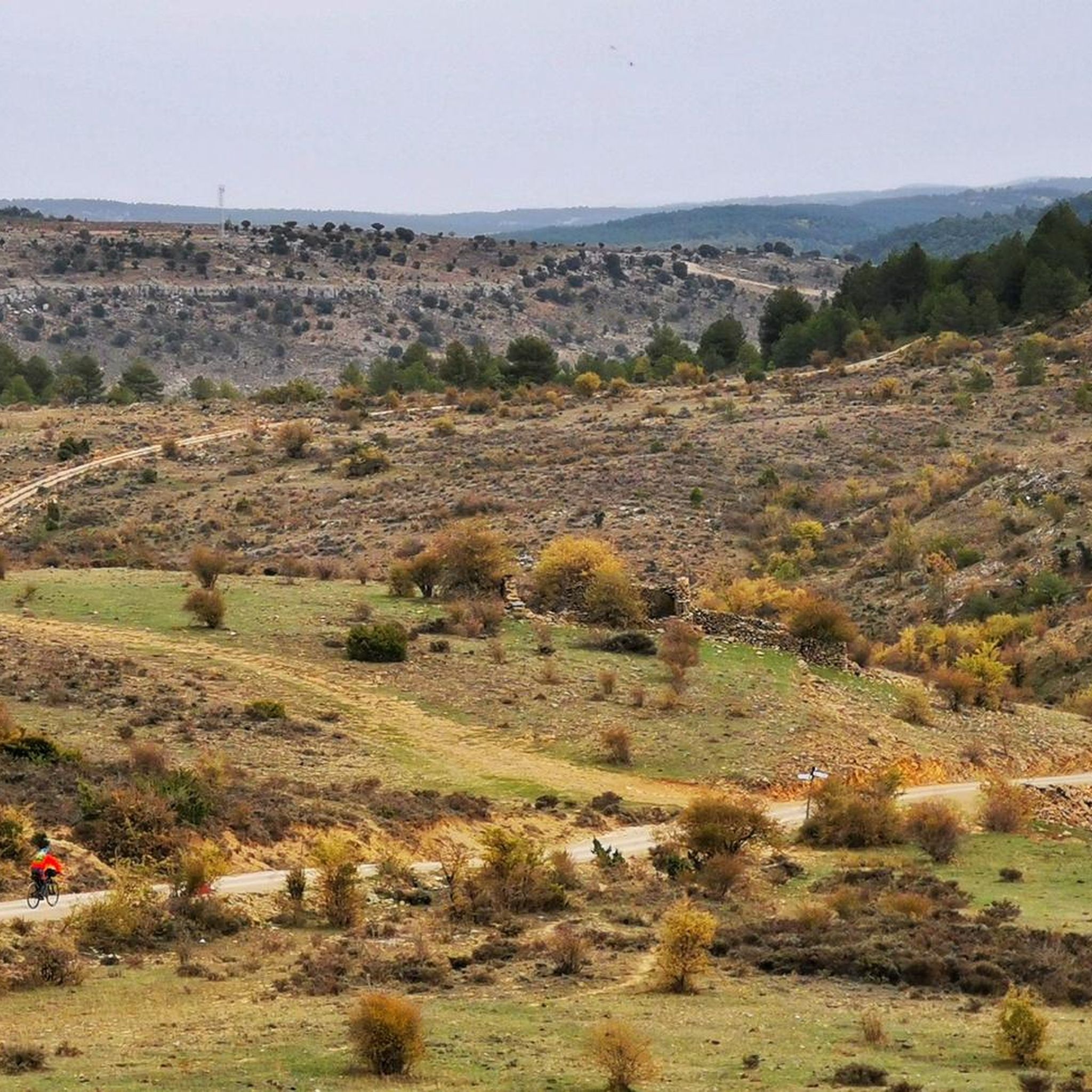
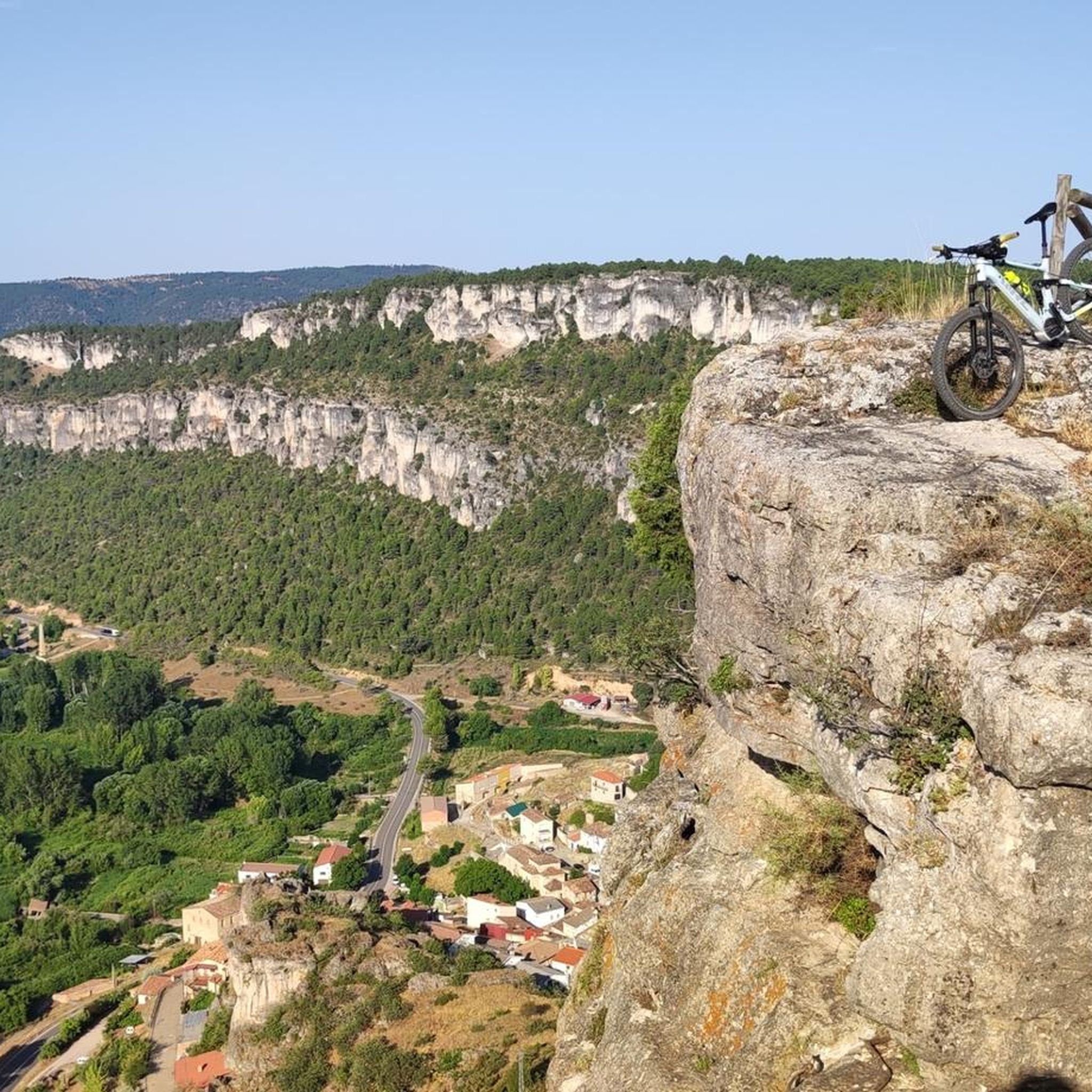
Hiking around El Recuenco offers diverse terrain within the province of Guadalajara, Spain. The region features extensive pine forests, juniper, and chaparral, transitioning from cultivated fields to rugged mountains and ravines. Hikers can explore prominent hills and mountains, including La Morra "el Ja" (1282 m), and encounter unique karstic formations like the "Peña del Arco." The area is also characterized by several ravines and its proximity to the Tajo River.
Best hiking trails around El Recuenco
- The most popular hiking…
Last updated: June 28, 2026
5.0
(4)
12
hikers
Moderate hike. Good fitness required. Easily-accessible paths. Suitable for all skill levels.
1
hikers
23.4km
06:40
530m
530m
Hike the difficult 14.6-mile Hundido de Armallones circular route in Alto Tajo Natural Park, gaining 1736 feet over 6 hours and 40 minutes.

Sign up for free
3.0
(1)
4
hikers
8.29km
02:19
160m
160m
Moderate hike. Good fitness required. Easily-accessible paths. Suitable for all skill levels.
1
hikers
8.51km
02:16
100m
90m
Moderate hike. Good fitness required. Easily-accessible paths. Suitable for all skill levels.
4.0
(1)
1
hikers
8.90km
02:24
110m
110m
Moderate hike. Good fitness required. Easily-accessible paths. Suitable for all skill levels.
Get access to more routes and recommendations from other explorers.
Sign up for free
Already have an account?
Our route recommendations are based on thousands of hikes, rides, and runs completed by other people on komoot.
Start today with a free account
Your next adventure awaits.
Login or Signup
Popular around El Recuenco
Tips from the Community

Beautiful town in Alto Tajo with exceptional landscapes.
0
0
The Valpinoso stream, also known as the Cueva stream (which is very close), and the Navazos stream. It looks like a medieval bridge made entirely of stone. Next to it are the old Wash House and the Los Caños Fountain.
0
0
Beautiful place, surrounded by nature from all angles.
0
1
A curious place where the collapse of the side cliffs, as a consequence of the Lisbon earthquake, closed the Tagus River for several days, interrupting the flow of water. Today, there are still a large number of huge rocks at the bottom of the Tagus. It is worth visiting.
0
0

Unique pine tree that was struck by lightning and killed, now it is dry
0
0

Frequently Asked Questions
How many hiking trails are available around El Recuenco?
There are 6 hiking trails around El Recuenco, offering a range of experiences from easy walks to more challenging mountain paths. These routes explore the diverse landscapes of the Guadalajara province.
What kind of terrain can I expect on hikes around El Recuenco?
Hikers in El Recuenco can expect a varied landscape. The region features extensive pine forests, juniper, and chaparral, transitioning from cultivated fields to rugged mountains and ravines. You'll encounter prominent hills like La Morra "el Ja" (1282 m) and unique karstic formations such as the Peña del Arco, a natural calcareous rock arch.
Are there any easy hiking routes suitable for beginners or families?
Yes, there is 1 easy hiking route around El Recuenco. The Old Fountain – Fuente Nueva loop from Villanueva de Alcorón is an easy 4.6 km (2.9 miles) trail that takes approximately 1 hour 15 minutes to complete, making it a good option for a relaxed outing.
Are there any challenging routes for experienced hikers?
For experienced hikers seeking a challenge, the Hundido de Armallones Loop is a difficult 23.4 km (14.6 miles) path. This longer trail offers a demanding experience through varied landscapes, typically taking over 6 hours to complete.
What natural attractions or landmarks can I see along the hiking trails?
Along the trails, you can discover fascinating natural attractions. The Peña del Arco is a notable karstic formation with a natural rock arch. You might also encounter the Sima de Alcorón Cave. Many routes offer scenic views of the village's fertile plain and the surrounding mountains.
Are there any circular hiking routes in the area?
Yes, many of the routes around El Recuenco are circular. For example, the popular Rambla del Avellano – circular desde Arbeteta – Parque Natural del Alto Tajo is a moderate 10.6 km (6.6 miles) loop that explores the natural features of the Alto Tajo Natural Park.
What kind of wildlife might I encounter while hiking?
The uncultivated zones around El Recuenco are home to a variety of wildlife. You might spot larger animals like deer, wild boar, roe deer, and fallow deer, as well as smaller game such as hares and partridges. The proximity to the Tajo River also makes it an important area for diverse bird species.
Is El Recuenco a good base for exploring the Alto Tajo Natural Park?
Yes, El Recuenco serves as an excellent base for exploring the Alto Tajo Natural Park. The park is renowned for its extensive forests, deep ravines, and rich biodiversity, offering numerous opportunities for immersive hiking experiences directly accessible from the area.
What do other hikers enjoy most about hiking in El Recuenco?
The area is highly rated by the komoot community, with an average score of 4.3 stars from over 5 reviews. Hikers often praise the diverse forest ecosystems, the hilly terrain offering panoramic views, and the unique karstic formations like the Peña del Arco.
Are there any specific viewpoints or scenic spots recommended?
Many trails provide excellent views of El Recuenco's fertile plain and the surrounding mountains. For a dedicated scenic spot, consider visiting the Tormo de la Muesca Viewpoint, which offers expansive vistas of the natural landscape.
What are the typical forest types found on the trails?
The region around El Recuenco boasts diverse forest ecosystems. You'll primarily hike through extensive pine forests, but also encounter areas with juniper and chaparral (encina) in the uncultivated zones, providing varied scenic backdrops.
Most popular routes around El Recuenco
Most popular attractions around El Recuenco

Get inspired with the komoot mobile app


Explore more
Browse the best Hikes in other regions.
