The best cycling routes around Narros Del Puerto
21
riders
5
rides
Touring cycling routes around Narros Del Puerto traverse the Valle Amblés, characterized by farmlands, meadows, and forests of pine, oak, elm, and poplar. The area is situated near the Puerto de Menga, offering a blend of flat valley terrain and mountainous foothills. Waterways like the Arroyo Ullaque and River Adaja contribute to varied landscapes of groves and cultivated fields. This region is part of the Natura 2000 network, highlighting its ecological value.
Best touring cycling routes around Narros Del Puerto
…Last updated: June 29, 2026
4
riders
27.8km
02:06
340m
340m
Moderate bike ride. Good fitness required. Mostly paved surfaces. Suitable for all skill levels.
4
riders
28.2km
02:08
360m
360m
Moderate bike ride. Good fitness required. Mostly paved surfaces. Suitable for all skill levels.

Sign up for free
3
riders
33.1km
02:45
250m
250m
Moderate bike ride. Good fitness required. Mostly paved surfaces. Suitable for all skill levels.
2
riders
27.2km
02:16
190m
190m
Moderate bike ride. Good fitness required. Mostly paved surfaces. Suitable for all skill levels.
3
riders
80.5km
06:21
1,190m
1,190m
Hard bike ride. Very good fitness required. Mostly paved surfaces. Suitable for all skill levels.
Our route recommendations are based on thousands of hikes, rides, and runs completed by other people on komoot.
Start today with a free account
Your next adventure awaits.
Login or Signup
Popular around Narros Del Puerto

Tips from the Community

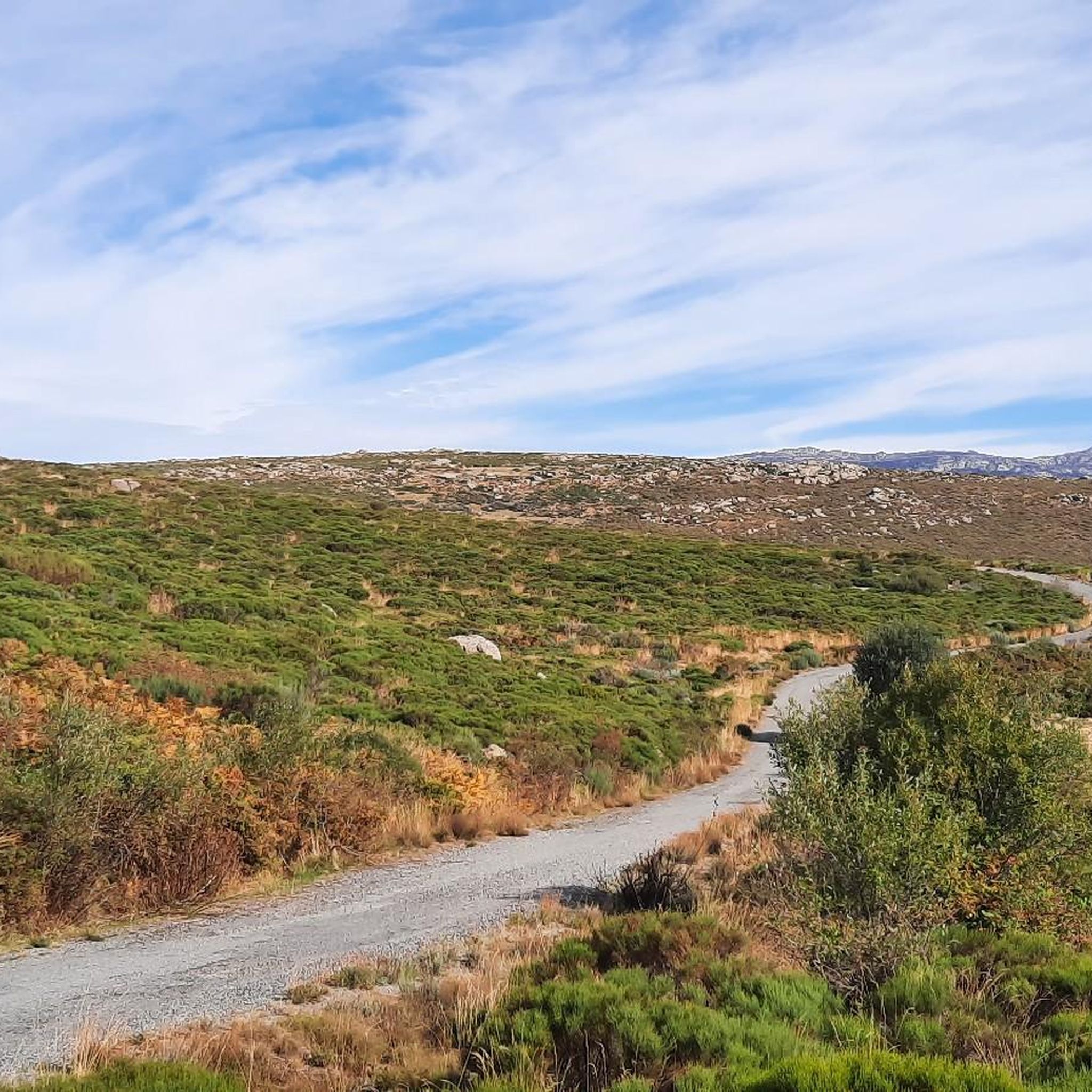
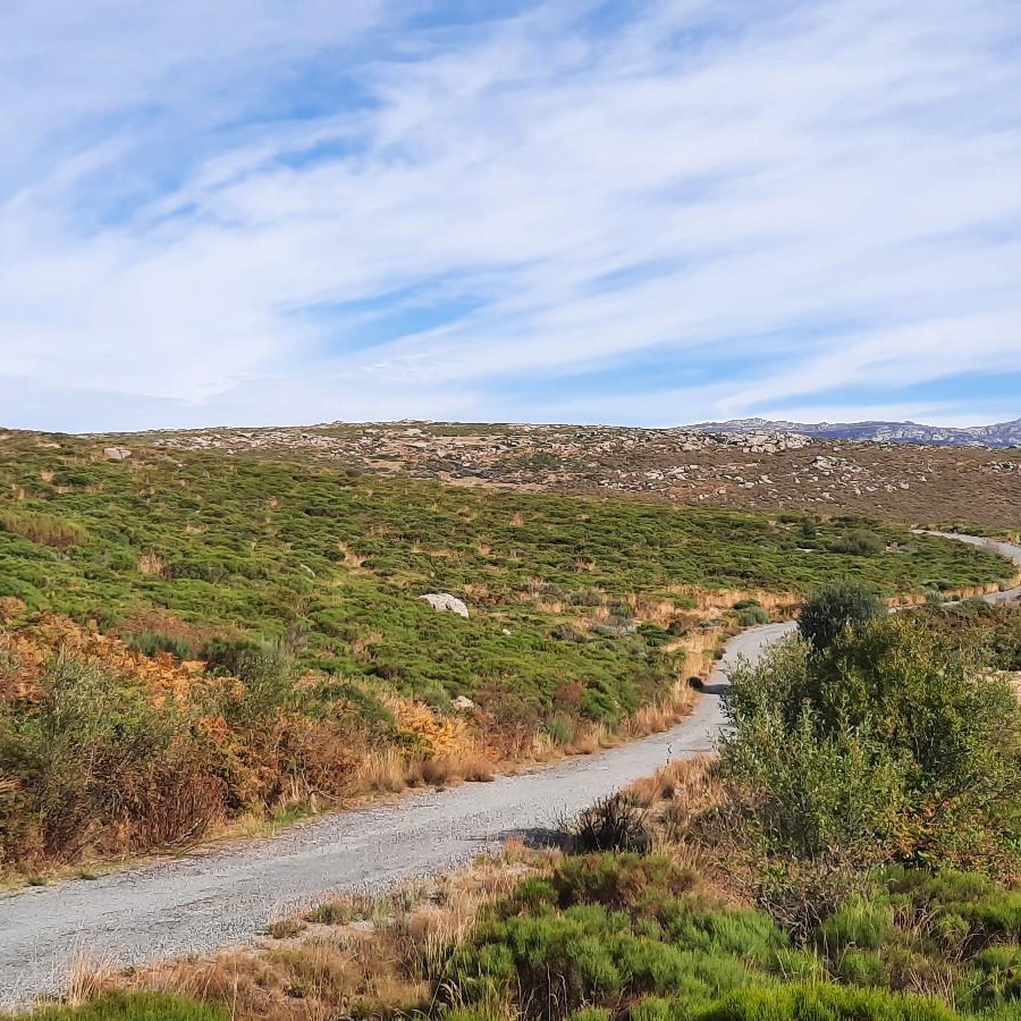
It is one of the most inhospitable ports in the Sierra de Gredos and has a lot of charm, not so much from a purely cycling point of view, but from a landscape point of view. If you are looking for a route through the northern area of Gredos, you have to go through this beautiful port.
0
0
This slope is gentler than the northern slope and much shorter, with just 4 km and 2 of them hard, with some considerable ramps in the pair of horseshoe curves that there are. The road is inhospitable and therefore with very little traffic. The asphalt is uneven and rough, which adds hardness to the climb. Most of the secondary roads in this area are like this, which gives it a lot of charm. The landscape in summer is dry land, very typical of the northern area of Gredos and the northern plateau in general. I climbed the pass one early morning in August and I really enjoyed the solitude and silence of nature.
0
0

Beautiful and at the same time small town that is characterized by the Sierra de la Serrota and to the north, by the "dehesas" that are close to the Río Alberche (Dehesa de San Martín and Dehesa de las Cañadas).
0
0
With an altitude of 1663 meters, this mountain pass is located at the point that connects two valleys, the Valle del Corneja (Valdecorneja) with the Alto Valle del Alberche.
0
0
Small town located where the Río Corneja passes through and which gives its name to the set of valleys and slopes called Valle del Corneja.
0
1
At this point it is said that the Río Adaja is born and there appear a set of springs and springs that give us water in case we are without it! Beautiful valley!
0
0
Small town that is located in what is called the Valle de Amblés and that is a few kilometers from its capital, Ávila. From the core, you can begin to see the first forms of the Sierra de Paramera and Gredos.
0
0
The relief of the municipality is formed by two mountainous areas separated by the Amblés valley, through which the Adaja river runs, which is born in the territory. The northern area is called Sierra de Villanueva, a branch of the Sierra de Ávila.
0
0
Frequently Asked Questions
How many touring cycling routes are available around Narros Del Puerto?
There are several touring cycling routes around Narros Del Puerto, offering a range of experiences. The komoot guide features 4 highly-rated routes, with options for both moderate and difficult ability levels.
What kind of terrain can I expect when touring cycling in Narros Del Puerto?
The terrain around Narros Del Puerto is quite varied. You'll find relatively flat sections through the Valle Amblés, characterized by farmlands, meadows, and forests. As you approach areas like the Puerto de Menga, you'll encounter more significant ascents and mountainous foothills, offering a greater challenge and rewarding views. The region transitions from serrated foothills to open plains, providing diverse landscapes.
What are the difficulty levels of the touring cycling routes?
The touring cycling routes around Narros Del Puerto cater to different skill levels. You can find routes classified as moderate, such as the Muñogalindo – Oco Village Water Pond loop from Muñogalindo, which covers 17.3 miles (27.8 km). For those seeking a greater challenge, there are also difficult routes available, like the Chía Pass – Chía Pass (1,663 m) loop from Solosancho, spanning over 50 miles (80 km).
When is the best time of year to go touring cycling in Narros Del Puerto?
The Valle Amblés, where Narros Del Puerto is located, offers varied scenery that transforms with the seasons. Spring and autumn generally provide pleasant temperatures for cycling, with the landscape showcasing diverse flora like peonies and thyme. Summer can be warm, especially in the open valley, while winter might present colder conditions, particularly at higher elevations near mountain passes.
Are there any historical sites or landmarks to see along the cycling routes?
Yes, the area is rich in history. You can cycle along ancient pathways like the Cañada Real Leonesa Occidental, a historical transhumance route. In Narros Del Puerto itself, the Romanesque-Mudejar Church of Nuestra Señora de la Asunción, dating back to the late 12th century, offers panoramic views. Other historical points of interest include the Rollo de Muñotello and the Ruins of Monasterio del Risco.
What natural features or viewpoints can I enjoy while cycling?
Narros Del Puerto is nestled in a region of significant natural beauty. You'll find routes that offer views of the Valle Amblés with its farmlands and meadows, and vistas towards the Sierra de Gredos. The area is part of the Natura 2000 network, bordering the LIC of the Sierras de la Paramera and Serrota, ensuring a pristine environment. Notable natural features and viewpoints include the Serrota summit and various mountain passes like Alto Cuesta del Chicho and Las Fuentes Pass.
Are there any circular touring cycling routes?
Yes, there are several circular touring cycling routes available. For example, the Bike loop from Narros del Puerto is a 20.6 miles (33.1 km) trail that starts and ends in the village, leading through varied terrain with views towards the Sierra de Gredos. Another option is the Oco Village Water Pond – Muñogalindo loop from Muñana, a moderate 17.6 miles (28.2 km) path.
Is Narros Del Puerto suitable for family-friendly touring cycling?
The Valle Amblés offers relatively flat sections and gentle inclines, which can be suitable for families looking for less strenuous rides. Routes that stick to the valley floor and avoid the more challenging mountain passes would be ideal. Always check the specific route's difficulty and elevation profile on komoot to ensure it matches your family's capabilities.
Can I bring my dog on touring cycling routes in Narros Del Puerto?
While many outdoor areas in Spain are generally dog-friendly, it's important to consider the specific route and local regulations. The region is characterized by farmlands and meadows where livestock may be present, and it's part of the Natura 2000 network, which means wildlife protection is a priority. Always keep your dog under control, especially near livestock or protected areas, and ensure they are fit enough for the distance and terrain.
What are the options for parking near the touring cycling routes?
Narros Del Puerto is a small village, and parking is generally available within the village itself, often near the main square or church. For routes starting from other nearby towns like Muñogalindo or Solosancho, you would typically find parking options in those respective village centers. Always look for designated parking areas or check local signage.
Are there any cafes or places to stop for refreshments along the routes?
Narros Del Puerto and the surrounding villages like Muñogalindo offer local establishments where you can find refreshments. However, given the rural nature of the area, it's always advisable to carry sufficient water and snacks, especially on longer routes or those that pass through less populated areas. Plan your stops in advance by checking the route on komoot for points of interest.
What is the longest touring cycling route available?
The longest touring cycling route featured in the guide is the Chía Pass – Chía Pass (1,663 m) loop from Solosancho. This challenging route covers a distance of 50 miles (80.4 km) and involves significant elevation gain, making it suitable for experienced touring cyclists.
What makes touring cycling in Narros Del Puerto unique?
Touring cycling in Narros Del Puerto offers a unique blend of experiences due to its diverse landscape. You can explore the tranquil Valle Amblés with its agricultural charm, encounter historical pathways like the Cañada Real Leonesa Occidental, and challenge yourself on routes that ascend towards mountain passes near the Puerto de Menga. The region's status within the Natura 2000 network also ensures a pristine natural environment, making for a truly immersive outdoor adventure.
Most popular routes around Narros Del Puerto
Most popular attractions around Narros Del Puerto

Get inspired with the komoot mobile app


Explore more
Browse the best Cycling routes in other regions.
