The best walks and hikes in K'Ómoks Royston Lands
4.4
(7)
107
hikers
14
hikes
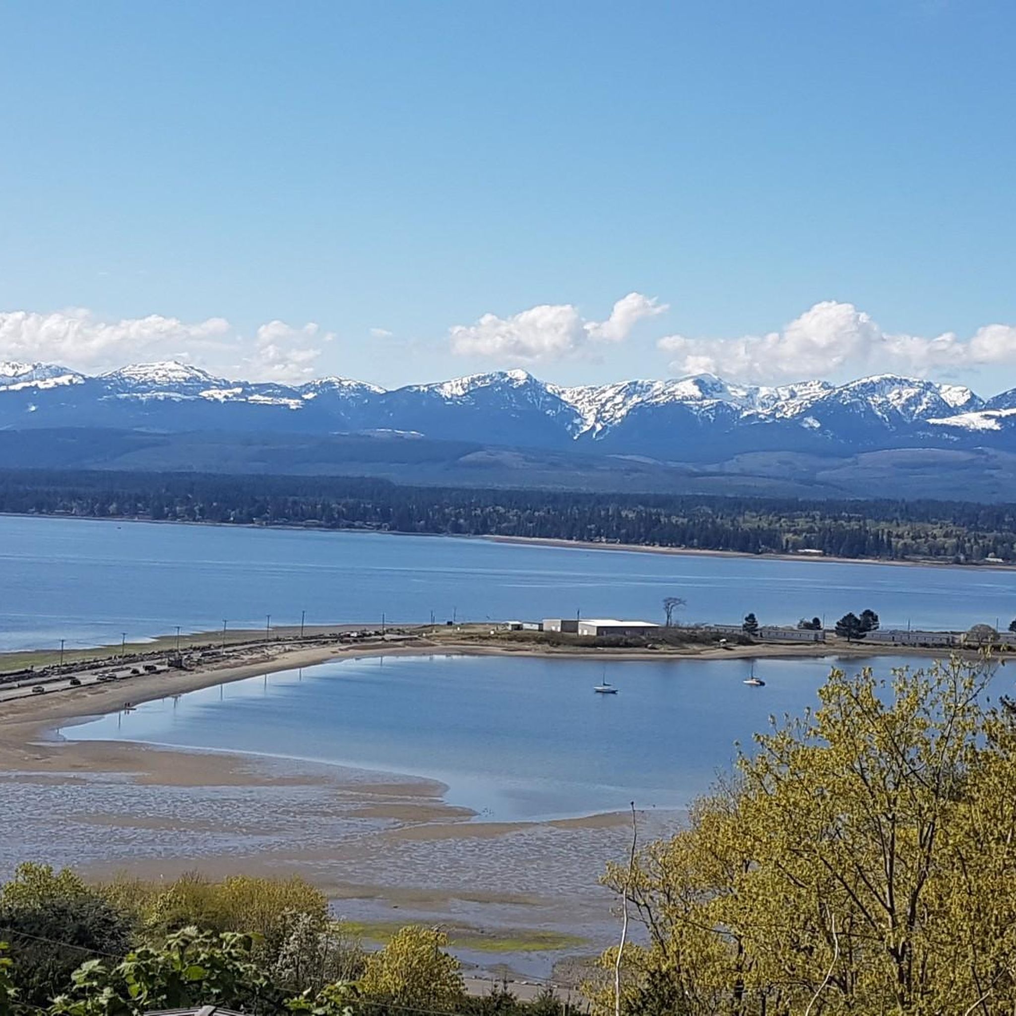
Hiking trails in K'Ómoks Royston Lands traverse a diverse landscape, characterized by second-growth forests, coastal areas, and a rich estuary. The region features well-groomed paths winding through Douglas fir and maple trees, with deep ravines and seasonal waterfalls. Trails also provide access to the waterfront, offering views across Comox Bay and opportunities to observe wildlife. The K'ómoks Estuary, where rivers meet the sea, presents a unique ecosystem with salt marsh plants and eelgrass beds.
Best hiking trails in K'Ómoks Royston…
Last updated: July 5, 2026
3
hikers
4.16km
01:09
70m
70m
Easy hike. Great for any fitness level. Easily-accessible paths. Suitable for all skill levels.
8
hikers
2.02km
00:31
10m
10m
Easy hike. Great for any fitness level. Easily-accessible paths. Suitable for all skill levels.

Sign up for free
4
hikers
1.76km
00:29
20m
20m
Easy hike. Great for any fitness level. Easily-accessible paths. Suitable for all skill levels.
7
hikers
7.84km
02:00
30m
30m
Moderate hike. Good fitness required. Easily-accessible paths. Suitable for all skill levels.
12
hikers
4.82km
01:15
30m
30m
Easy hike. Great for any fitness level. Easily-accessible paths. Suitable for all skill levels.
Get access to more routes and recommendations from other explorers.
Sign up for free
Already have an account?
Our route recommendations are based on thousands of hikes, rides, and runs completed by other people on komoot.
Start today with a free account
Your next adventure awaits.
Login or Signup

Tips from the Community

Mom’s Trail is a short forested loop in the Chinook Forest Woodlands that winds through second-growth forest on a quiet singletrack. Part of the loop follows the Trent River, with occasional views of the flowing water and the steep, wooded valley that shapes this landscape. With gentle terrain and connections to nearby paths, it’s an easy, peaceful trail ideal for a short outing, and is a popular route for hiking, walking, and trail running.
0
0
This is a great spot along the Mom’s Trail where you'll find a break in the trees with beautiful views across the forested ridges of the Hunter’s Range, and it is a quiet place to pause and take in the layered hills and valleys of inland Vancouver Island. Surrounded by dense woodland, the viewpoint adds a more expansive landscape perspective to the trail, which is otherwise defined by its forest scenery.
0
0
This trail is a short forest walk that follows a well-trodden path through second-growth forest as it approaches the river canyon. Most of the route is relatively easy to follow, though it can be slippery as you get close to the falls, with rope-assisted sections leading down to the river at the base. Despite its short length, the combination of forest, river sounds, and rugged terrain makes it feel like a more adventurous trek than you'd expect.
0
0
This trailhead is right next to the Inland Island Highway near the Trent River Bridge, with informal roadside parking available on either side of the highway. However, the northbound shoulder offers the easiest access if you’re looking for quick access to the falls. From here, a wide gravel track leads into second-growth forest toward the falls, but there is no formal trailhead signage, so the entrance is easy to miss. Since parking is close to the highway, be sure to park carefully and avoid blocking access or traffic.
0
0
Trent River Falls is a beautiful, wide, fan-shaped cascade where the Trent River drops roughly 9 metres into a deep pool surrounded by cliffs and boulders. These falls mark the upstream limit for spawning salmon, and in the fall, you can see fish in the river below you. Although relatively hidden from the highway above, this setting feels surprisingly wild, with rushing water, rock walls, and the forest creating a peaceful riverside atmosphere.
0
0

There are a bunch of seaplanes and other small aircraft that are usually parked along the fence opposite the Riverway Path. You can check them out as you pass by.
0
0
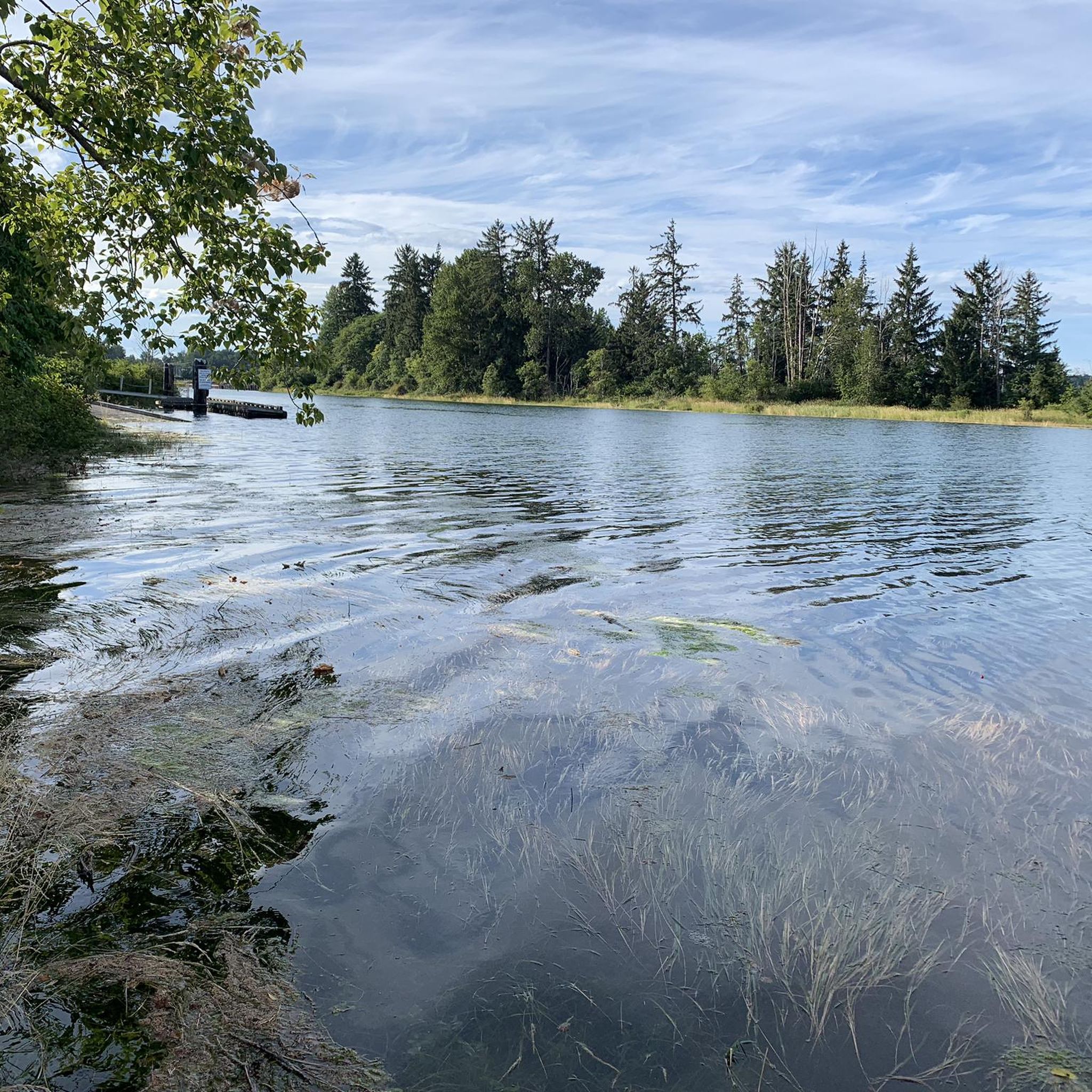
This path takes you through Courtenay's urban area, partially sheltered on either side by strips of greenery, between downtown and the riverfront. You share the path with cyclists, but the trail is paved and divided to ease multi-use traffic.
0
0
Totem poles by the K’ómoks First Nation have been installed in Courtenay over the past decade to bring greater recognition to indigenous culture. This one overlooks the salt marsh and the banks of the Courtenay River.
0
0
Frequently Asked Questions
What types of landscapes can I expect to see while hiking in K'ómoks Royston Lands?
The K'ómoks Royston Lands offer a diverse range of landscapes. You'll find trails winding through second-growth forests dominated by Douglas fir and maple trees, coastal paths with views across Comox Bay, and the rich ecosystem of the K'ómoks Estuary where rivers meet the sea. Deep ravines and seasonal waterfalls also add to the scenic appeal.
Are there any easy hiking trails suitable for beginners or casual walkers?
Yes, the region has several easy trails. For instance, the Hiking loop from Courtenay Airpark is an easy 5 km route with gentle gradients. Another great option is the Maple Lake Loop, which is approximately 3.5 km and also considered easy.
Can I bring my dog on the hiking trails in K'ómoks Royston Lands?
Many areas within K'ómoks Royston Lands are dog-friendly. Seal Bay Nature Park (Xwee Xwhya Luq), for example, is a popular spot for dog walking, offering well-groomed trails through its forests and access to the waterfront. Always ensure your dog is on a leash and follow local regulations.
Are there any trails with historical or cultural significance?
Absolutely. The Royston Seaside Trail follows the former Comox Logging railway right-of-way, offering a unique historical element. Seal Bay Nature Park, known as Xwee Xwhya Luq by the K'ómoks First Nation, features interpretive signs incorporating traditional Coast Salish names, enriching the experience with cultural context. The K'ómoks Estuary also holds archaeological significance with remnants of ancient fish weirs.
What are some notable natural features or attractions to look out for?
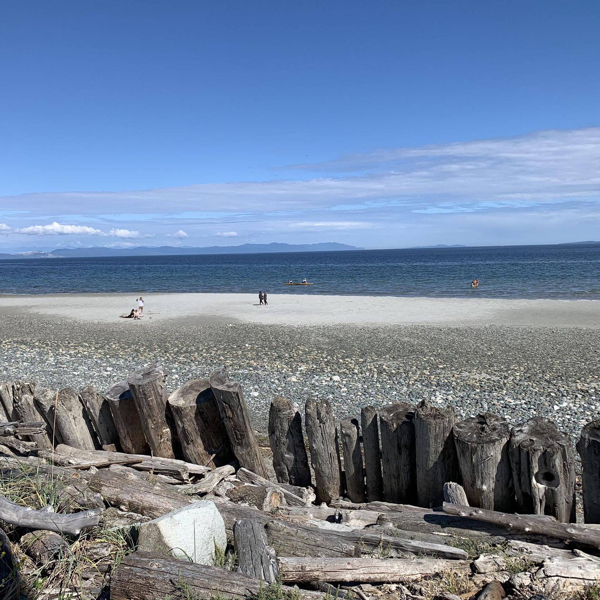
Hikers can enjoy picturesque views across Comox Bay from the Royston Seaside Trail, where you might also spot the historic Royston Wrecks. Seal Bay Nature Park features deep ravines and seasonal waterfalls. The K'ómoks Estuary is a vibrant ecosystem teeming with diverse birds, plants, and wildlife, including lush meadows of sedges and eelgrass beds.
Are there any accessible hiking options for individuals with mobility issues?
Yes, a significant portion of the northern half of the Royston Seaside Trail, known as the 'Breakwater Esplanade,' is designed with accessibility in mind, making parts of it suitable for individuals with mobility issues.
What is the best time of year to go hiking in K'ómoks Royston Lands?
The K'ómoks Royston Lands can be enjoyed year-round. Spring brings vibrant blooms like hot pink shooting stars and brilliant yellow buttercups in the estuary. Summer offers pleasant conditions for coastal and forest walks. Fall showcases beautiful foliage, and even winter can be suitable for hiking, though conditions may vary.
Are there any circular hiking routes available?
Yes, many of the trails in K'ómoks Royston Lands are designed as loops. Examples include the Nob Hill loop from Lazo Marsh-North East Comox Wildlife Management Area and the Nicole Hamilton Memorial Bench loop from Cumberland, which offers a moderate challenge.
What do other hikers say about the trails in K'ómoks Royston Lands?
The trails in K'ómoks Royston Lands are highly rated by the komoot community, with an average score of 5.0 stars. Reviewers often praise the diverse forest trails, coastal paths, and estuary landscapes, highlighting the variety of experiences available for different ability levels.
Are there any moderate trails for more experienced hikers?
Yes, for those seeking a moderate challenge, the Nicole Hamilton Memorial Bench loop from Cumberland is a great option. This 8.2 km trail leads through forested areas and includes moderate climbs, typically taking around 2 hours and 14 minutes to complete.
Where can I find parking for the trailheads?
While specific parking details vary by trailhead, many popular access points like those for Seal Bay Nature Park and the Royston Seaside Trail offer designated parking areas. It's advisable to check specific route information for detailed parking instructions before your visit.
Are there opportunities to see wildlife along the trails?
Yes, the K'ómoks Royston Lands are rich in wildlife. The K'ómoks Estuary is particularly vibrant, teeming with diverse birds, fish, insects, and animals. Along the Royston Seaside Trail, hikers can observe various wildlife, especially birds, and Seal Bay Nature Park also offers opportunities for wildlife viewing within its forest and waterfront areas.
Most popular routes in K'Ómoks Royston Lands

Get inspired with the komoot mobile app


Explore more
Browse the best Hikes in other regions.
