The best road cycling routes in K'Ómoks Royston Lands
4.8
(12)
303
riders
16
rides
Road cycling in K'Ómoks Royston Lands offers diverse terrain across coastal areas and extensive forests within the Comox Valley. The region features a blend of well-paved surfaces and varied landscapes, including intertidal zones and areas with elevation changes. Cyclists can navigate routes that provide views across Comox Harbour and through regenerated second-growth forests. The area's physical features support a range of road cycling experiences, from gentle coastal rides to more challenging loops with significant climbs.
Best road cycling routes in…
Last updated: July 5, 2026
4.5
(2)
32
riders
27.5km
01:12
190m
190m
Easy road ride. Great for any fitness level. Mostly well-paved surfaces and easy to ride.
13
riders
Moderate road ride. Good fitness required. Some segments of this route may be unpaved and difficult to ride.

Sign up for free
8
riders
Moderate road ride. Good fitness required. Mostly well-paved surfaces and easy to ride.
4.6
(7)
37
riders
30.3km
01:23
290m
290m
Easy road ride. Great for any fitness level. Mostly well-paved surfaces and easy to ride.
22
riders
66.9km
03:50
1,240m
1,240m
Hard road ride. Very good fitness required. Mostly well-paved surfaces and easy to ride.
Get access to more routes and recommendations from other explorers.
Sign up for free
Already have an account?
Our route recommendations are based on thousands of hikes, rides, and runs completed by other people on komoot.
Start today with a free account
Your next adventure awaits.
Login or Signup

Tips from the Community

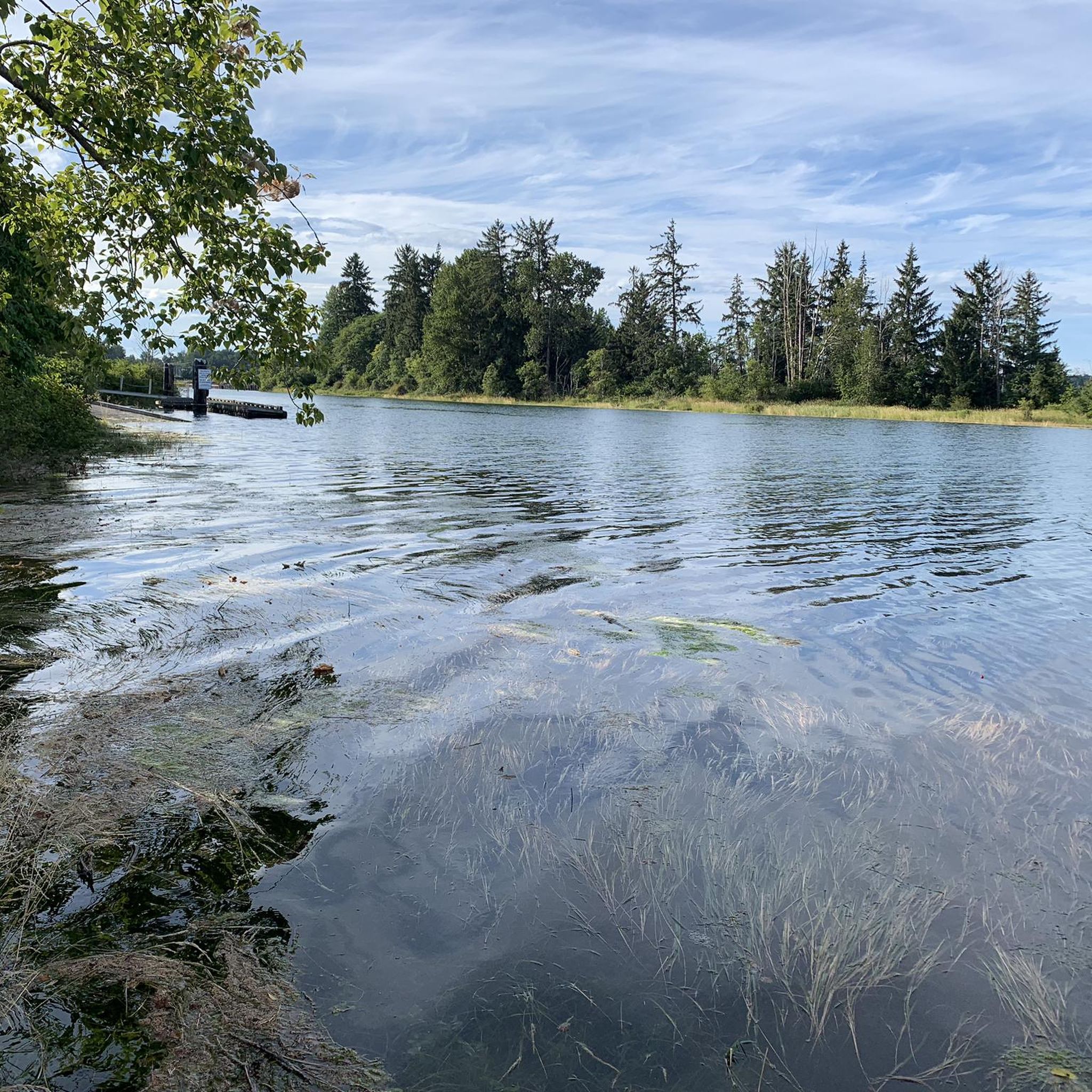
There are a bunch of seaplanes and other small aircraft that are usually parked along the fence opposite the Riverway Path. You can check them out as you pass by.
0
0

Cumberland Community Forest stretches more than 500 acres, and is mostly second-growth coastal forest with a web of well-maintained trails. These trails are open to hiking, mountain biking, trail running.
0
0

Cool little airport that has some interesting aircraft to check out.
0
0

Baked Fresh Daily… Get There Early Before Their Famous Jelly Donuts Are Gone !!<>!!
0
0
Worth the ride from Ocean Front Village in Courtenay.
0
0
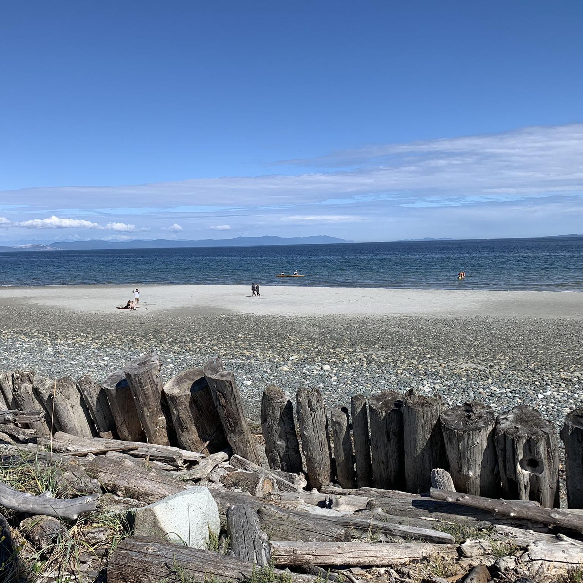
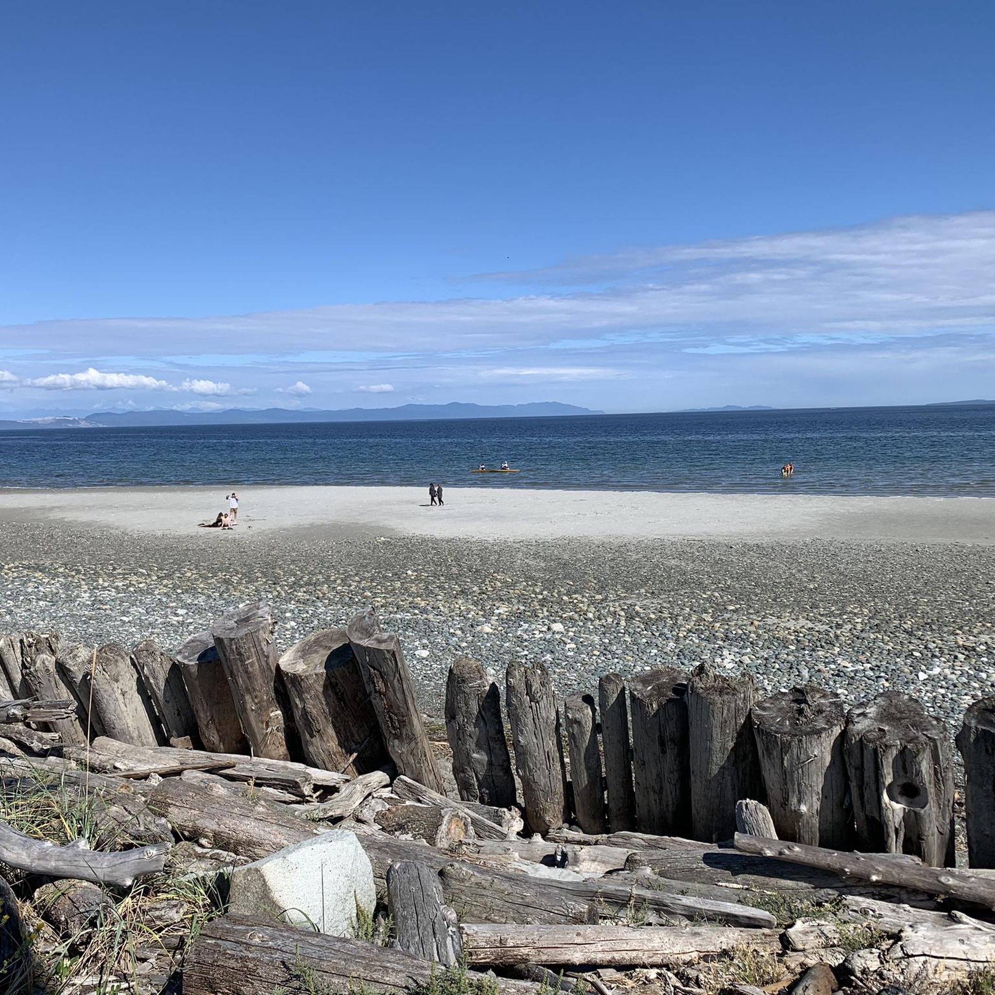
Rode a similar route starting from Ocean Front Village at 29’th and Cliffe Ave. Especially enjoyed the ride along the Salish Sea on Lazo Rd-Safe cycling route.
0
0

Roads are relatively smooth and not too heavily trafficked.
0
0
Frequently Asked Questions
What types of road cycling routes can I find in K'ómoks Royston Lands?
K'ómoks Royston Lands offer a diverse range of road cycling experiences, from easy, well-paved coastal rides to more challenging loops with significant elevation changes through forested areas. You'll find routes suitable for various fitness levels, including options that combine coastal views with immersion in regenerated second-growth forests.
Are there road cycling routes suitable for beginners or families?
Yes, the region provides several easy road cycling routes perfect for beginners or families. These typically feature gentle gradients and well-paved surfaces. An example is the Roadbike loop from Lazo Marsh-North East Comox Wildlife Management Area, which is 27.5 km long and takes about 1 hour 12 minutes to complete with gentle gradients.
What are some moderate road cycling options in the area?
For those seeking a moderate challenge, routes like the Robb Bluff – Cumberland Community Forest loop from Lazo Marsh-North East Comox Wildlife Management Area offer varied scenery over 39.2 km. Another popular moderate route is the Cumberland Village Bakery loop from Lazo Marsh-North East Comox Wildlife Management Area, which covers 33.2 km through forested sections and local communities.
Are there any challenging road cycling routes for experienced riders?
Yes, experienced riders can find more challenging routes with greater elevation gain. For instance, the Glen Urquhart Creek – Courtenay River loop from Comox is a difficult 66.9 km route with over 1200 meters of elevation gain, offering a substantial workout.
What kind of scenery can I expect while road cycling in K'ómoks Royston Lands?
Cyclists can enjoy a rich variety of landscapes. Expect stunning coastal views across Comox Harbour and the Strait of Georgia, often with glimpses of the mainland mountain range. Routes also lead through extensive regenerated second-growth forests, providing shaded sections and a sense of immersion in nature. The dramatic Beaufort Mountains and Comox Glacier form a scenic backdrop to the west.
What do other road cyclists say about the routes in K'ómoks Royston Lands?
The road cycling routes in K'ómoks Royston Lands are highly regarded by the komoot community, with an average score of 4.9 stars from nearly 10 reviews. Cyclists often praise the diverse terrain, from coastal paths to forested sections, and the well-maintained surfaces that make for an enjoyable ride.
Is it possible to find cafes or pubs near the cycling routes?
Yes, the Comox Valley, which encompasses K'ómoks Royston Lands, has local communities and villages where you can find cafes, bakeries, and pubs. For example, the Cumberland Village Bakery loop specifically highlights a local community stop, indicating that refreshments are accessible along or near many routes.
What is the best time of year for road cycling in K'ómoks Royston Lands?
The Comox Valley generally offers good cycling conditions for much of the year. Spring and fall provide pleasant temperatures and vibrant scenery. Summer is also excellent, though some forested routes offer welcome shade. While winter cycling is possible, it's advisable to check local weather conditions for rain or cooler temperatures.
Are there any specific natural features or attractions to look out for on the routes?
While cycling, you might encounter coastal views, intertidal zones, and extensive forests. The Royston Seaside Trail, though not a specific road cycling route in our data, is known for its views of the historic Royston Wrecks and marine life. The region is also rich in biodiversity, offering opportunities for wildlife viewing, especially in areas like the Courtenay River Estuary.
How many road cycling routes are available in K'ómoks Royston Lands?
There are over 15 distinct road cycling routes documented in K'ómoks Royston Lands, catering to various skill levels from easy to difficult.
Are there any specific access policies or permits required for cycling on K'ómoks First Nation lands?
The K'ómoks First Nation has a profound connection to these lands. While many trails are publicly accessible, it's always respectful and recommended to be aware of and adhere to any specific signage or guidelines regarding access, especially in culturally significant areas. Generally, no specific permits are mentioned for road cycling on established routes.
Where can I park my car when starting a road cycling route?
Many routes in K'ómoks Royston Lands originate from areas like the Lazo Marsh-North East Comox Wildlife Management Area or Lerwick Nature Park, which typically offer designated parking facilities for visitors. It's always a good idea to check the specific starting point of your chosen route for parking availability.
Most popular routes in K'Ómoks Royston Lands

Get inspired with the komoot mobile app


Explore more
Browse the best Road cycling routes in other regions.
